The best cycling routes around Loyola
4.5
(252)
4,749
riders
229
rides
Touring cycling around Loyola features routes that navigate through a landscape characterized by canyons, reservoirs, and hills. The region offers a mix of paved roads and paths, often following creek beds and passing through parklands. Elevation gains vary, providing options from gentle slopes to more challenging ascents.
Best touring cycling routes around Loyola
- The most popular touring cycling route is Stevens Canyon Road Loop, a 19.5 miles (31.4 km) trail that takes 1 hour 58 minutes to complete. This…
Last updated: July 2, 2026
4.3
(4)
40
riders
31.4km
01:59
370m
370m
The Stevens Canyon Road Loop in Santa Clara County offers a dynamic touring cycling experience, blending smooth pavement with rugged fire roads and even some singletrack. You'll pedal through dense…
52
riders
The Stevens Creek Reservoir – Montebello Road loop from Rancho San Antonio County Park is a classic Silicon Valley touring cycling challenge, known for its sustained climb and rewarding vistas.…

Sign up for free
5.0
(2)
34
riders
37.2km
02:49
830m
830m
Hard bike ride. Very good fitness required. Mostly paved surfaces. Suitable for all skill levels.
5.0
(7)
24
riders
30.0km
01:58
400m
400m
Moderate bike ride. Good fitness required. Mostly paved surfaces. Suitable for all skill levels.
16
riders
24.7km
01:43
370m
370m
The Boronda Lake – Adobe Creek loop from Los Altos offers a delightful touring cycling experience, blending rolling hills with serene wetlands. You'll pedal past the picturesque Boronda Lake, complete…
Get access to more routes and recommendations from other explorers.
Sign up for free
Already have an account?
Our route recommendations are based on thousands of hikes, rides, and runs completed by other people on komoot.
Start today with a free account
Your next adventure awaits.
Login or Signup
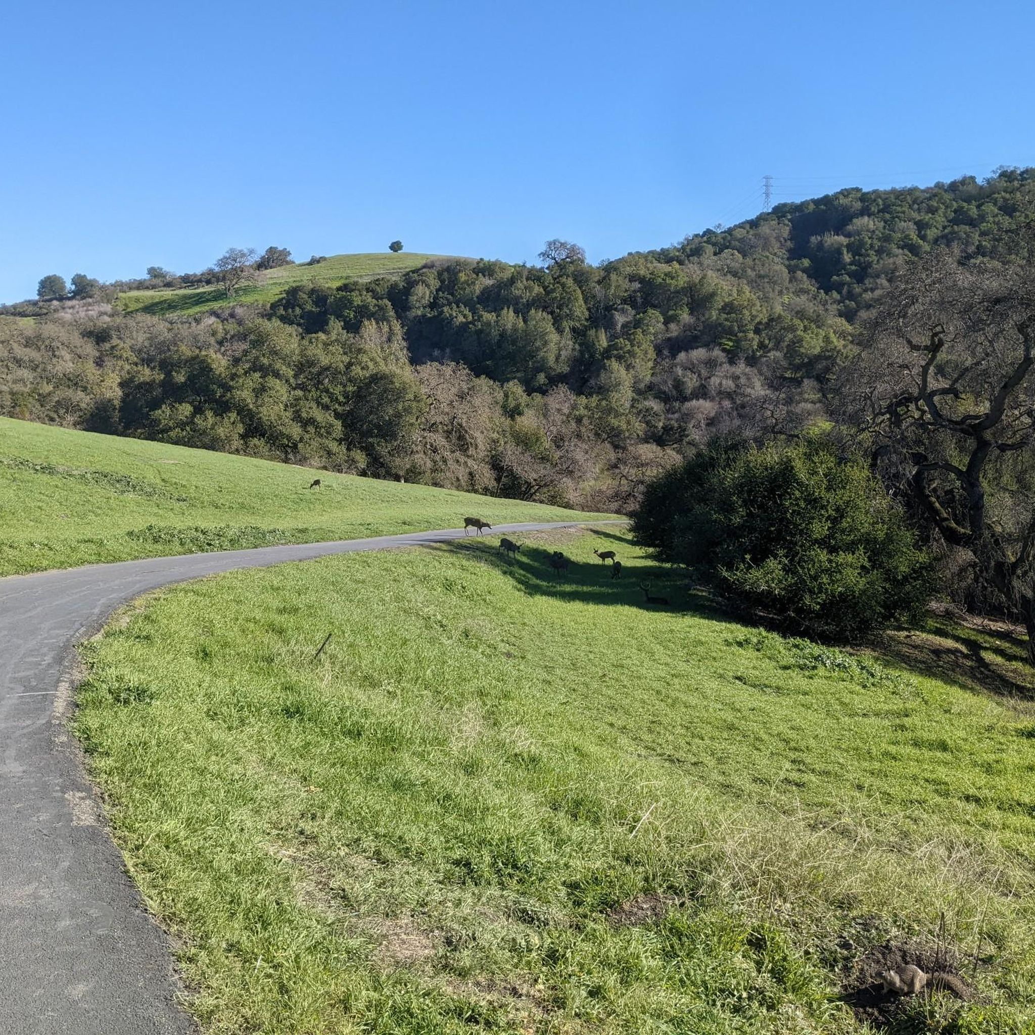
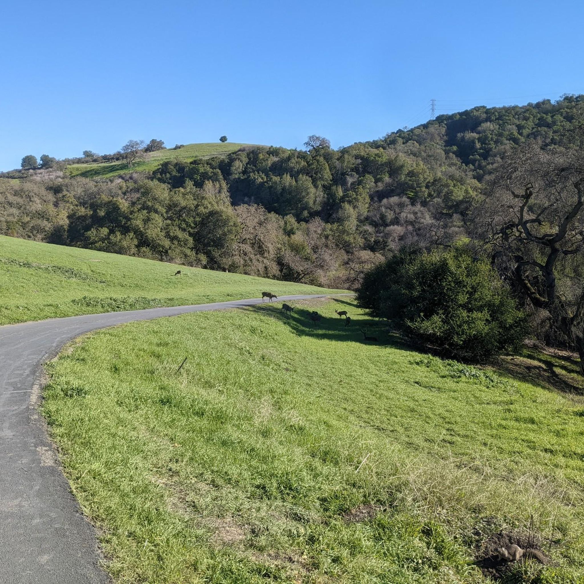
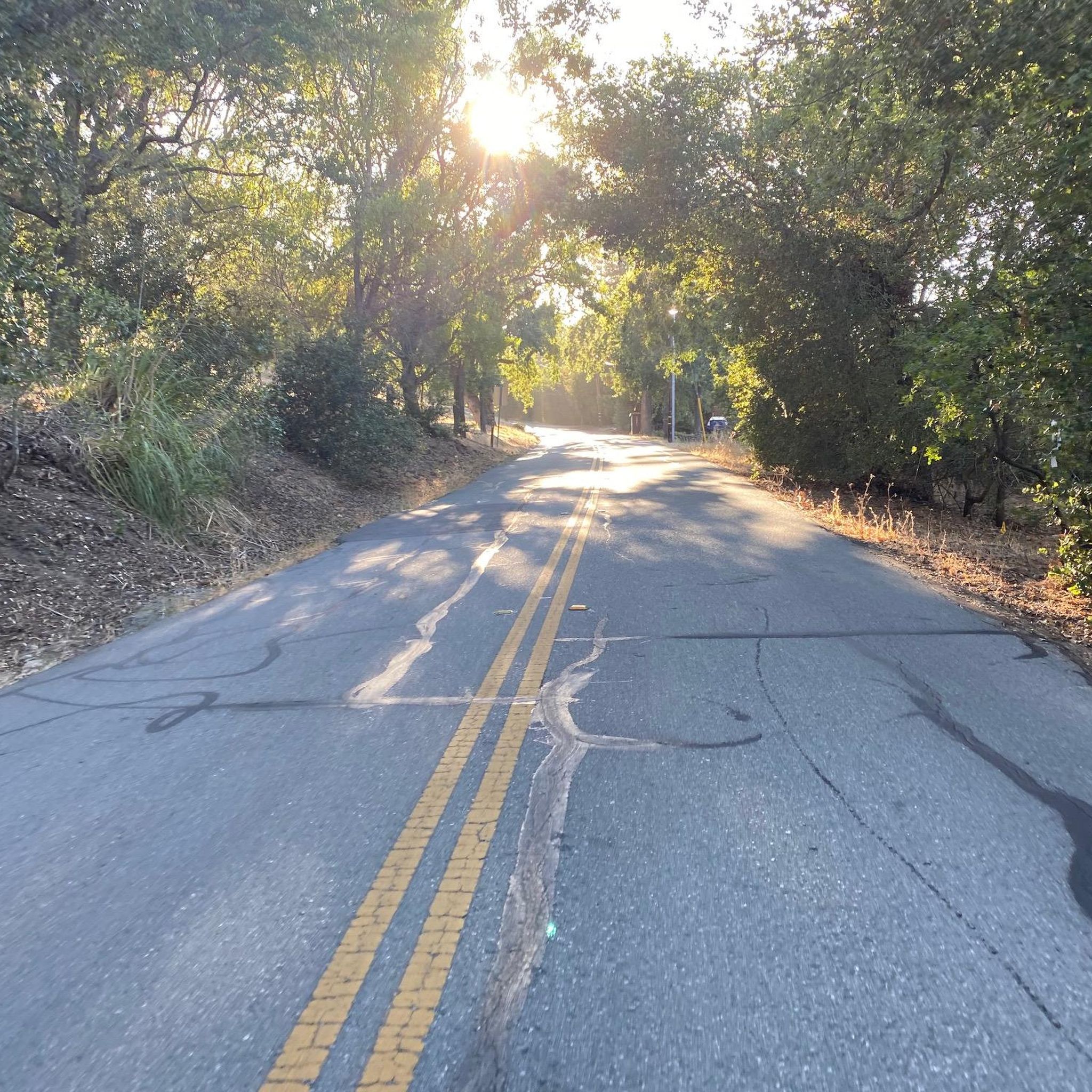

Tips from the Community

This scenic linear park, separating Los Altos from Los Altos Hills, offers a smooth, uninterrupted route ideal for a relaxing bike ride. Cyclists can enjoy its shaded paths, spot public art installations along the way, and pause at the gazebo or open grass field for a break with a view.
0
0
Great paved road that takes you through Picchetti Ranch Open Space Preserve. On clear days, there are great views of the Cupertino valley and the San Francisco Bay.
0
0

Stevens Creek Reservoir spans 87 acres and is surrounded by a 1,063-acre park. Visitors can enjoy hiking, horseback riding, picnicking, and limited fishing. Seasonal boating for low-power boats is available from mid-April to mid-October. The park is open daily from 8 a.m. to sunset, with vehicle entry fees collected year-round at the Chestnut Parking Lot. Visitors can explore natural beauty and historic remnants like the Villa Maria orchard.
1
0

Moody Road is a short route for cyclists connected to nearby trails or longer climbs like Page Mill Road. It offers a mix of rolling hills and quiet, scenic vibes. The last km is tough, but in the end it is always worth it.
0
0

Boronda Lake features a couple scenic picnic areas with piers out over the water. A small arched bridge leads out to Sunfish Island from a trail on the side of the lake opposite the road. This is great place from which to enjoy beautiful Foothills Nature Preserve.
0
0

Rancho San Antonio County Park shares a boundary with Rancho San Antonio Open Space Preserve, which adds almost 4,000 acres of nature to the 289-acre park. The trails are well-kept and well-marked, but all bikes need to keep on paved-paths only.
0
0

This area provides stunning views of the surroundings, featuring a compass on the ground and indicators pointing to different landmarks in the area.
0
0
This lake is about a half mile around with a nice island in the middle and trails that encircle it. This is a very popular birding area, especially in the winter, when the ducks are in their migration process.
0
0
Frequently Asked Questions
How many touring cycling routes are available around Loyola?
Loyola offers a wide variety of touring cycling routes, with over 220 different options available for exploration. These routes navigate through a diverse landscape of canyons, reservoirs, and hills.
What is the overall difficulty level of touring cycling routes in Loyola?
The routes in Loyola cater to various skill levels. You'll find approximately 70 easy routes, over 90 moderate routes, and around 55 difficult routes, ensuring options for beginners to experienced touring cyclists.
What do other touring cyclists say about the routes in Loyola?
The touring cycling routes around Loyola are highly regarded by the komoot community, boasting an average rating of 4.4 stars from over 220 reviews. More than 4,400 touring cyclists have used komoot to discover the area's varied terrain, often praising the scenic views and diverse landscapes.
Are there easy touring cycling routes suitable for beginners in Loyola?
Yes, Loyola offers numerous easy touring cycling routes perfect for beginners. These routes often follow gentler slopes through parklands and along creek beds. For example, the Stevens Canyon Road Loop is a moderate option that provides beautiful views without overly challenging climbs.
Are there challenging touring cycling routes for experienced riders?
Absolutely. Experienced touring cyclists looking for a challenge will find several difficult routes with significant elevation gains. The Stevens Creek Reservoir – Black Mountain loop from Saint Francis High School is a prime example, covering 30 miles with substantial climbing, passing by Stevens Creek Reservoir and Black Mountain.
What kind of terrain can I expect on touring cycling routes around Loyola?
Touring cycling around Loyola features a varied landscape characterized by canyons, reservoirs, and hills. Routes often utilize a mix of paved roads and paths, frequently following creek beds and passing through parklands. You can expect a blend of gentle slopes and more challenging ascents.
Are there circular touring cycling routes around Loyola?
Yes, many touring cycling routes in Loyola are designed as loops, allowing you to start and end at the same point. The Stevens Creek Reservoir – Stevens Creek Reservoir loop from Rancho San Antonio County Park is a popular circular route that takes you through parkland and around the reservoir.
What scenic viewpoints can I find on touring bike routes in Loyola?
Loyola's routes offer several scenic viewpoints. You can enjoy panoramic vistas from spots like Byrne Preserve Lookout or experience the Descent toward the coast on Alpine. Another notable viewpoint is View of Saratoga and the Bay Area from Hunters Point.
Are there any routes that pass by lakes or reservoirs?
Yes, the region is known for its reservoirs and lakes. Many routes incorporate these features, such as the Stevens Creek Reservoir – Stevens Creek Reservoir loop, which circles the prominent Stevens Creek Reservoir. Other nearby bodies of water include Arastradero Lake and Shoreline Lake.
What is a typical distance and elevation gain for touring bike trails in Loyola?
Distances and elevation gains vary significantly. A moderate route like the Byrne Preserve Lookout – Boronda Lake loop from Mountain View covers about 18.6 miles (30 km) with an elevation gain of around 1,320 feet (400 meters). More challenging routes can extend to 30 miles with over 3,000 feet (900 meters) of climbing.
Are there any less-traveled touring bike routes near Loyola that offer unique experiences?
For a route that offers a blend of natural beauty and a slightly less frequented path, consider the Boronda Lake – Adobe Creek loop from Los Altos. This moderate 15.5-mile (25 km) route takes you through varied landscapes, including Boronda Lake and along Adobe Creek, providing a peaceful cycling experience.
Most popular attractions around Loyola

Get inspired with the komoot mobile app


Explore more
Browse the best Cycling routes in other regions.
