The best road cycling routes around Loyola
4.5
(423)
11,425
riders
193
rides
Road cycling routes around Loyola offer diverse terrain, from urban pathways to scenic loops through varied landscapes. The region features a mix of flat, paved trails suitable for leisurely rides and more challenging routes with significant elevation gains. Cyclists can explore areas characterized by rolling hills, reservoirs, and tree-lined roads. The network of routes provides options for different skill levels, allowing for both short, easy rides and longer, more demanding excursions.
Best road cycling routes around Loyola
- The most popular…
Last updated: August 26, 2026
4.0
(2)
48
riders
26.3km
01:24
330m
330m
Moderate road ride. Good fitness required. Some segments of this route may be unpaved and difficult to ride.
5.0
(1)
49
riders
Moderate road ride. Great for any fitness level. Some segments of this route may be unpaved and difficult to ride.

Sign up for free
3.0
(1)
26
riders
Moderate road ride. Good fitness required. Mostly well-paved surfaces and easy to ride.
5.0
(1)
20
riders
38.0km
01:43
360m
360m
Moderate road ride. Good fitness required. Mostly well-paved surfaces and easy to ride.
16
riders
19.5km
01:13
480m
480m
Moderate road ride. Good fitness required. Mostly well-paved surfaces and easy to ride.
Get access to more routes and recommendations from other explorers.
Sign up for free
Already have an account?
Our route recommendations are based on thousands of hikes, rides, and runs completed by other people on komoot.
Start today with a free account
Your next adventure awaits.
Login or Signup
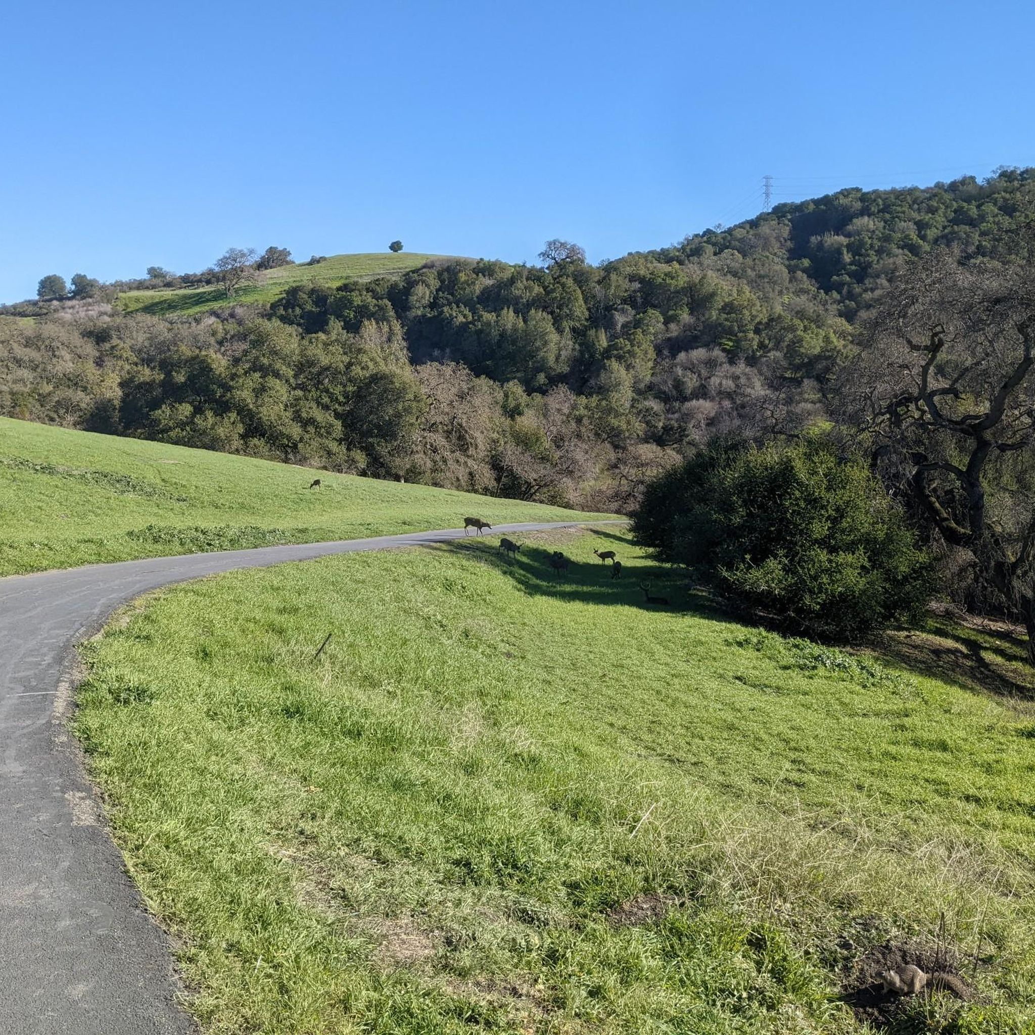
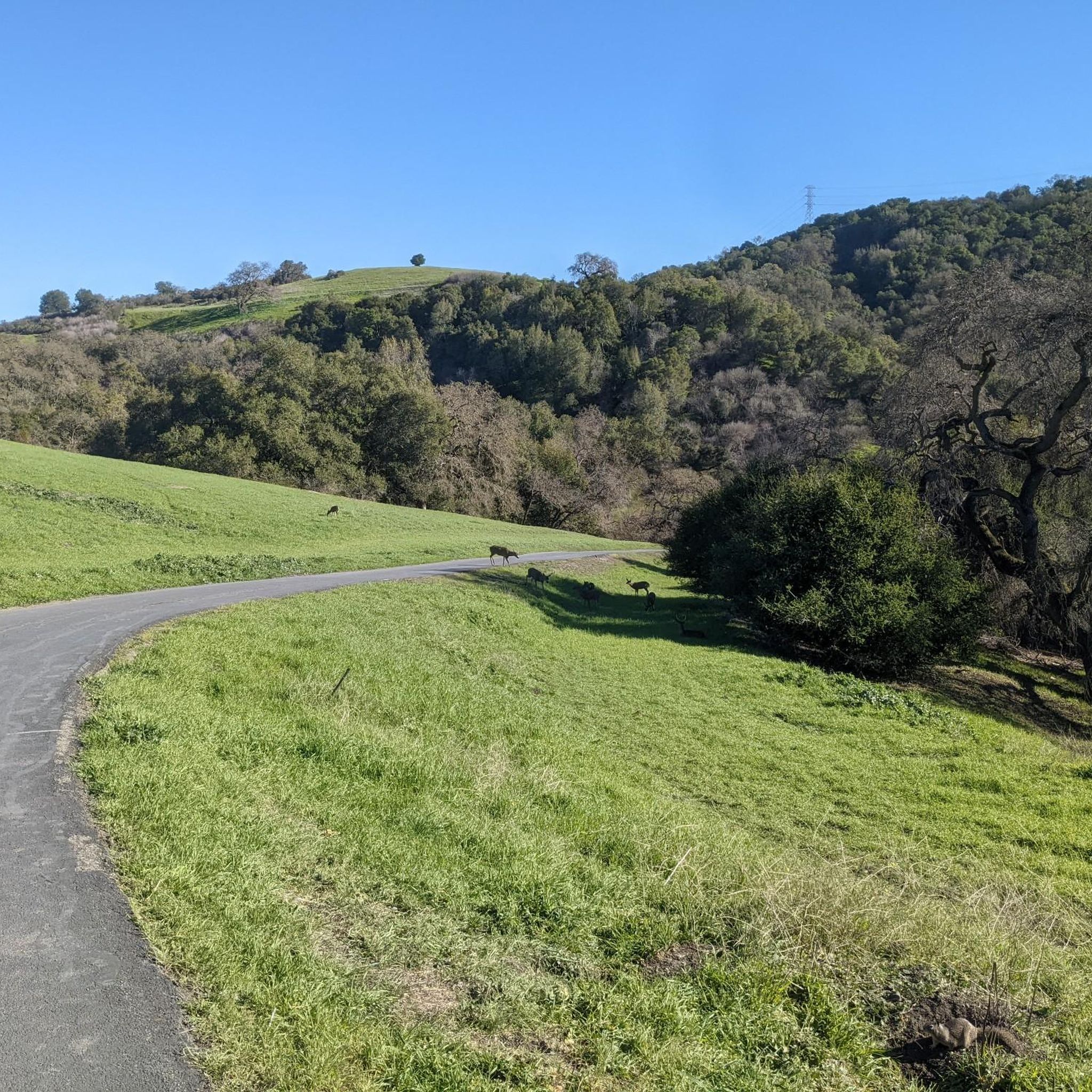

Tips from the Community

This scenic linear park, separating Los Altos from Los Altos Hills, offers a smooth, uninterrupted route ideal for a relaxing bike ride. Cyclists can enjoy its shaded paths, spot public art installations along the way, and pause at the gazebo or open grass field for a break with a view.
0
0

A sculpture made by Augustin Rodnin
0
0


The Palo Alto-Los Altos Bike and Pedestrian Path, also known as the Hetch Hetchy Trail, is a well-maintained multi-use route that connects Los Altos Avenue to Arastradero Road. It’s popular for biking, running, and hiking, offering scenic views and access to parks like Terman Park, Bol Park, and Barron Park Donkeys. The trail includes a mini library and is part of Henry M. Gunn High School's recommended walking routes.
1
0

Moody Road is a short route for cyclists connected to nearby trails or longer climbs like Page Mill Road. It offers a mix of rolling hills and quiet, scenic vibes. The last km is though, but in the end it is always worth it.
1
0
Page Mill Road is a classic route for cyclists looking for a challenge, with its steep climbs, sharp switchbacks, and stunning views of Silicon Valley. Starting near Palo Alto and climbing into the Santa Cruz Mountains, the ride tests your legs but rewards you with breathtaking scenery. Be prepared for varying gradients, especially in the lower sections, and pack plenty of water—the climb can be intense, especially on warmer days.
0
0
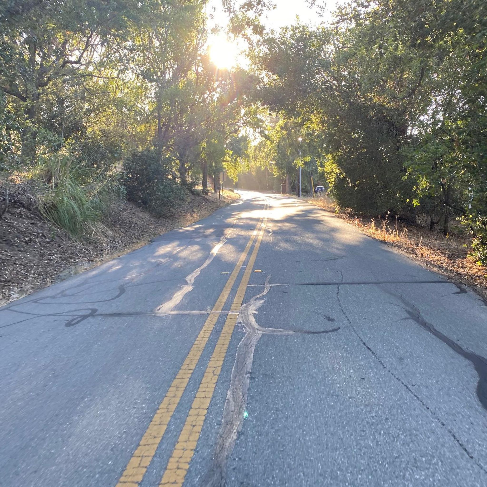
Winding through a quiet residential area with minimal traffic, Altamont Road is perfect for a laid-back ride or linking up with tougher routes nearby. The gentle climbs make it super relaxing, and the hill views are awesome—especially around sunrise or sunset. It’s bike-friendly, but watch out for the occasional car on the narrower sections.
0
0

This fantastic tavern, founded in 1852, is the second oldest in the state. It features a large, beer garden-style outdoor area with plenty of shade. An extensive beer and food menu makes it a perfect stop to enjoy a brew and some great food after a ride.
0
0
Frequently Asked Questions
How many road cycling routes are available around Loyola?
There are over 190 road cycling routes around Loyola, offering a wide range of options for different skill levels. You'll find everything from easy loops to challenging long-distance rides.
What kind of terrain can I expect on road cycling routes in Loyola?
Road cycling around Loyola is characterized by rolling hills, scenic reservoir views, and tree-lined roads. The routes offer a mix of flat, paved trails and more challenging sections with significant elevation gains, especially on routes like the Alpine Road Loop.
Are there any easy road cycling routes suitable for beginners or families?
Yes, Loyola offers several easy routes. For instance, the Junipero Serra Boulevard – Stanford Golf Course loop from Los Altos is an easy 22.8-mile trail that takes about 1 hour 36 minutes to complete, making it a good option for a more relaxed ride.
What are some challenging routes for experienced road cyclists?
Experienced cyclists looking for a challenge can tackle routes like the Stevens Creek Reservoir – Skyline Boulevard loop from Rancho San Antonio County Park. This difficult 67.4-mile path features extensive climbs and panoramic views along Skyline Boulevard.
What can I see along the road cycling routes in Loyola?
Many routes offer scenic views and pass by interesting landmarks. You can cycle along Junipero Serra Boulevard, explore the Palo Alto-Los Altos Bike Path, or enjoy views from points like Byrne Preserve Lookout and Hunters Point, which offers views of Saratoga and the Bay Area.
Are there any viewpoints or scenic spots along the routes?
Absolutely. Cyclists can enjoy breathtaking views from various points, including the Byrne Preserve Lookout and the View of Saratoga and the Bay Area from Hunters Point. The descent toward the coast on Alpine Road also offers stunning vistas.
What do other road cyclists enjoy most about cycling in Loyola?
The area is highly rated by the komoot community, with an average score of 4.7 stars from nearly 400 reviews. Cyclists often praise the diverse terrain, from rolling hills to scenic reservoir views, and the well-maintained network of routes that cater to various ability levels.
Are there any routes that pass by Stanford University?
Yes, the Junipero Serra Boulevard – Palo Alto-Los Altos Bike Path loop from Loyola Corners is a 22.4-mile trail that leads through suburban areas and alongside Stanford University, offering a pleasant ride through the academic landscape.
Are there any moderate routes for intermediate cyclists?
Intermediate cyclists can enjoy routes like the Altamont Road Vineyard – Elena Road Viewpoint loop from Rancho San Antonio County Park. This 30.8-mile route offers a balanced challenge with moderate elevation changes.
What are the typical durations for road cycling routes in Loyola?
Route durations vary significantly based on distance and difficulty. Shorter, easier routes like the Junipero Serra Boulevard – Stanford Golf Course loop can take around 1 hour 36 minutes, while more challenging routes such as the Alpine Road Loop can take over 5 hours to complete.
Are there any specific natural monuments or summits to see?
Yes, the region features natural landmarks such as Black Mountain and Borel Hill, which are summits that can be seen or accessed from various cycling routes, offering additional points of interest during your ride.
Most popular attractions around Loyola

Get inspired with the komoot mobile app


Explore more
Browse the best Road cycling routes in other regions.
