The best cycling routes around Harbison Canyon
5.0
(1)
25
riders
7
rides
If you've ever tried to plan touring cycling around Harbison Canyon, you know how quickly the options can feel overwhelming. Which routes are truly worth your time and effort, and how do you separate the real gems from the endless possibilities? We get it. That's where we come in. Our komoot community has meticulously mapped, ridden, and reviewed the best touring cycling routes here, so we've done the legwork to bring you a curated shortlist. Consider this your shortcut to…
Last updated: May 30, 2026
7
riders
54.0km
03:24
560m
570m
Hard bike ride. Very good fitness required. Mostly paved surfaces. Suitable for all skill levels.
6
riders
52.7km
03:21
670m
670m
Hard bike ride. Very good fitness required. Mostly paved surfaces. Suitable for all skill levels.

5.0
(1)
5
riders
13.7km
01:08
40m
40m
Easy bike ride. Great for any fitness level. Mostly paved surfaces. Suitable for all skill levels.
1
riders
19.7km
01:26
430m
430m
Moderate bike ride. Good fitness required. Mostly paved surfaces. Suitable for all skill levels.
2
riders
46.3km
03:14
930m
930m
Hard bike ride. Very good fitness required. Mostly paved surfaces. Suitable for all skill levels.
Get access to more routes and recommendations from other explorers.
Already have an account?
Our route recommendations are based on thousands of hikes, rides, and runs completed by other people on komoot.
Start today with a free account
Your next adventure awaits.
Popular around Harbison Canyon

Tips from the Community

The Sweetwater River is a small year-round stream that flows 55 miles from the Cuyamaca Mountains to the San Diego Bay.
1
0

This paved, multi-use trail runs alongside the San Diego River, from shortly this side of Mission Valley down to the river's mouth and the ocean.
0
0

The most recently completed portion of the San Diego River Trail, the Walker Preserve Trail, is the perfect beginners trail. You'll also find a bike repair station and filtered water refill stations along the way.
0
0

The Steele Canyon Bridge, also known as the Sweetwater River Bridge, is a beautiful landmark crossing the Sweetwater River. It is on the National Register of Historic places, and is no longer used for vehicles but is a great hiking, running or biking spot.
0
0
This paved, multi-use trail runs alongside the San Diego River, from shortly this side of Mission Valley down to the river's mouth and the ocean.
0
0

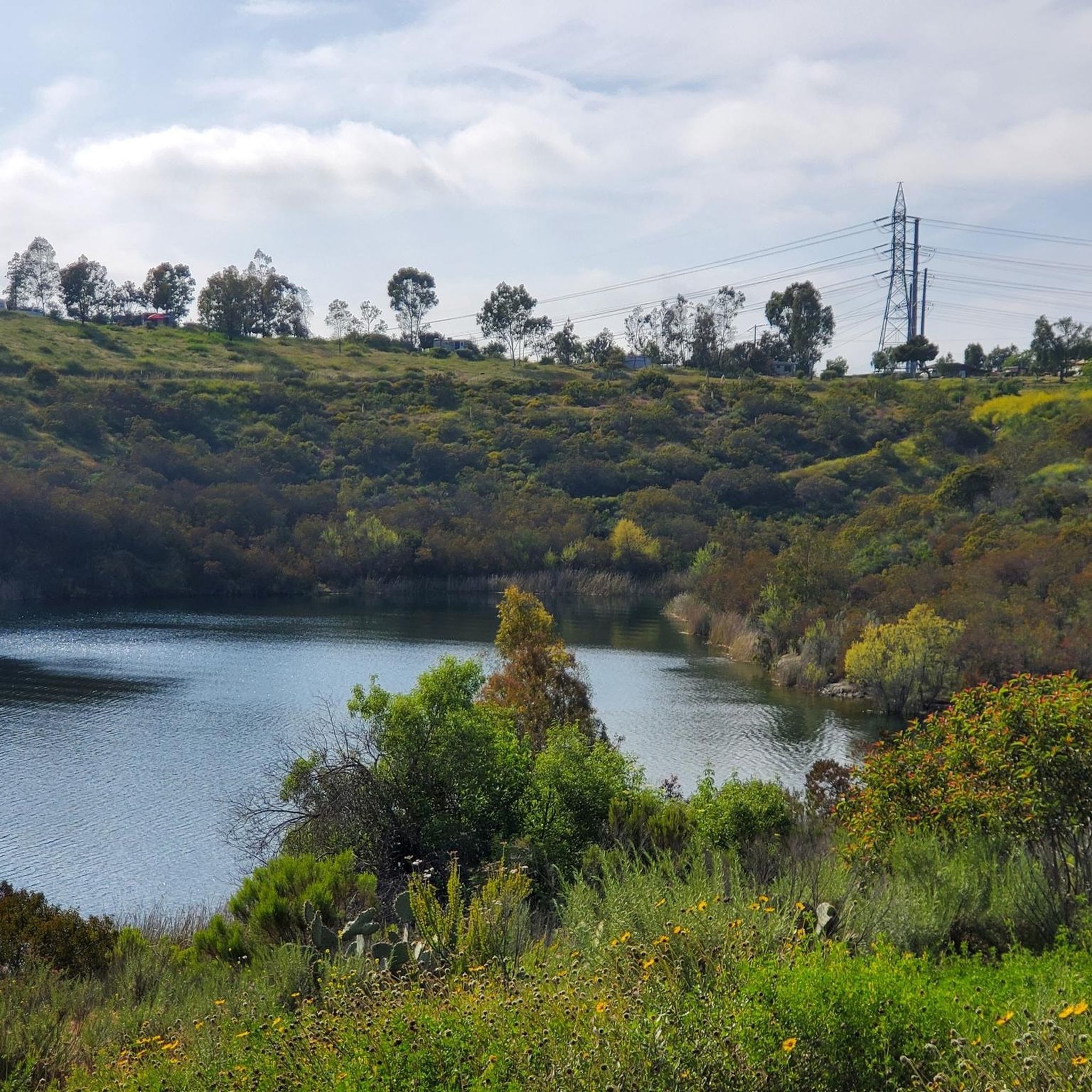
The Sweetwater River flows from Loveland Dam passing through Lake Emma, where the river bends west and runs parallel to Dehesa Road. The lake is fenced off and access is limited. At the western end of the lake is a golf club.
0
0
Frequently Asked Questions
How many touring cycling routes are available in Harbison Canyon?
There are 6 touring cycling routes documented in Harbison Canyon, offering a range of experiences from easy to difficult. These routes showcase the region's winding roads, mountain views, and rolling hills.
Are there any easy touring cycling routes suitable for beginners or families in Harbison Canyon?
Yes, there is one easy touring cycling route. The Walker Preserve Trail – San Diego River Trail loop from Lakeside is an 8.5-mile (13.7 km) path with minimal elevation gain, making it a great option for a more relaxed ride.
What kind of terrain can I expect on touring cycling routes in Harbison Canyon?
Harbison Canyon's touring cycling routes feature a mix of terrain, characterized by winding roads, peaceful rolling hills, and significant mountain views. While many sections are well-paved, some routes, particularly the more difficult ones, may include challenging ascents and varied surfaces. The region is known for its scenic canyon environment and areas with oak trees and tall shrubs.
Are there any circular touring cycling routes in Harbison Canyon?
Yes, all the touring cycling routes listed for Harbison Canyon are circular loops. For example, you can explore the Sweetwater River loop from Alpine Boulevard & Peutz Valley Road or the challenging Japutal Valey Road loop from Alpine Boulevard & Peutz Valley Road, both designed as loops.
What are some notable natural features or landmarks I might see along the touring cycling routes?
The routes in Harbison Canyon offer views of the Sweetwater River, which flows through the area. You might also encounter areas with oak trees and tall shrubs, especially near the Oakoasis Open Space Preserve. Other nearby points of interest include El Cajon Mountain and the San Diego River Trail.
What is the best time of year to go touring cycling in Harbison Canyon?
Harbison Canyon, located in San Diego County, generally offers pleasant cycling conditions for much of the year. Spring and fall typically provide mild temperatures, making them ideal. Summers can be warm, so early morning rides are recommended, while winters are usually mild but can have occasional rain.
Are there any challenging climbs for experienced touring cyclists in the area?
Yes, Harbison Canyon offers several challenging routes with significant elevation gains. For instance, the Japutal Valey Road loop from Alpine Boulevard & Peutz Valley Road features an elevation gain of approximately 930 meters (3,050 feet) over 46.3 km (28.8 miles), providing a demanding experience for very good fitness levels.
What do other touring cyclists say about the routes in Harbison Canyon?
The touring cycling routes in Harbison Canyon are highly regarded by the komoot community, with an average rating of 5.0 stars. Cyclists often praise the scenic mountain views, the peaceful rolling hills, and the variety of routes that cater to different fitness levels.
Are there any specific permits required for touring cycling on these routes?
Generally, no specific permits are required for touring cycling on the public roads and trails mentioned in Harbison Canyon. However, it's always advisable to check local regulations for any specific preserves or private lands you might encounter.
Where can I find places to rest or picnic along the routes?
While specific rest stops vary by route, the region includes amenities like Old Ironsides County Park within Harbison Canyon itself. This park offers picnic tables, restrooms, and a shaded grove, which could serve as a convenient stop or starting point for local activities.
How can I access Harbison Canyon by public transport for cycling?
Harbison Canyon is primarily accessed by car, as public transport options directly to the trailheads are limited. It is located in San Diego County, and while there are regional transit services, planning your route to specific cycling starting points would likely involve a combination of transport methods or driving.
Are there any routes that follow the Sweetwater River?
Yes, the Sweetwater River is a prominent natural feature in the area. Routes like the Sweetwater River loop from Alpine incorporate sections that follow or offer views of the river, providing a scenic backdrop to your ride.
What is the longest touring cycling route available in Harbison Canyon?
The longest touring cycling route in Harbison Canyon is the Sweetwater River loop from Alpine Boulevard & Peutz Valley Road, which spans 56.7 km (35.2 miles) and typically takes around 3 hours and 35 minutes to complete.
Most popular routes around Harbison Canyon
Most popular attractions around Harbison Canyon

Get inspired with the komoot mobile app


Explore more
Browse the best Cycling routes in other regions.
