The best road cycling routes around Harbison Canyon
4.9
(11)
266
riders
9
rides
Road cycling around Harbison Canyon, California, offers diverse terrain within a valley setting, situated between the communities of Crest and Alpine. The region features rural landscapes and varied elevation gains, providing options for different fitness levels. Cyclists encounter well-paved surfaces and a mix of moderate climbs and more challenging ascents, characteristic of the surrounding hilly and mountainous areas. The local topography includes hills and valleys, contributing to a dynamic road cycling experience.
Best road cycling routes around Harbison Canyon
- The…
Last updated: June 27, 2026
5.0
(1)
39
riders
54.9km
02:30
570m
570m
Moderate road ride. Good fitness required. Mostly well-paved surfaces and easy to ride.
16
riders
52.7km
02:28
670m
670m
Moderate road ride. Good fitness required. Mostly well-paved surfaces and easy to ride.

Sign up for free
4.8
(4)
6
riders
47.9km
02:06
450m
450m
Moderate road ride. Good fitness required. Mostly well-paved surfaces and easy to ride.
3
riders
38.4km
02:07
750m
760m
Moderate road ride. Good fitness required. Mostly well-paved surfaces and easy to ride.
7
riders
42.0km
01:54
480m
480m
Moderate road ride. Good fitness required. Mostly well-paved surfaces and easy to ride.
Get access to more routes and recommendations from other explorers.
Sign up for free
Already have an account?
Our route recommendations are based on thousands of hikes, rides, and runs completed by other people on komoot.
Start today with a free account
Your next adventure awaits.
Login or Signup
Popular around Harbison Canyon

Tips from the Community

The Sweetwater River is a small year-round stream that flows 55 miles from the Cuyamaca Mountains to the San Diego Bay.
1
0

The Steele Canyon Bridge, also known as the Sweetwater River Bridge, is a beautiful landmark crossing the Sweetwater River. It is on the National Register of Historic places, and is no longer used for vehicles but is a great hiking, running or biking spot.
0
0

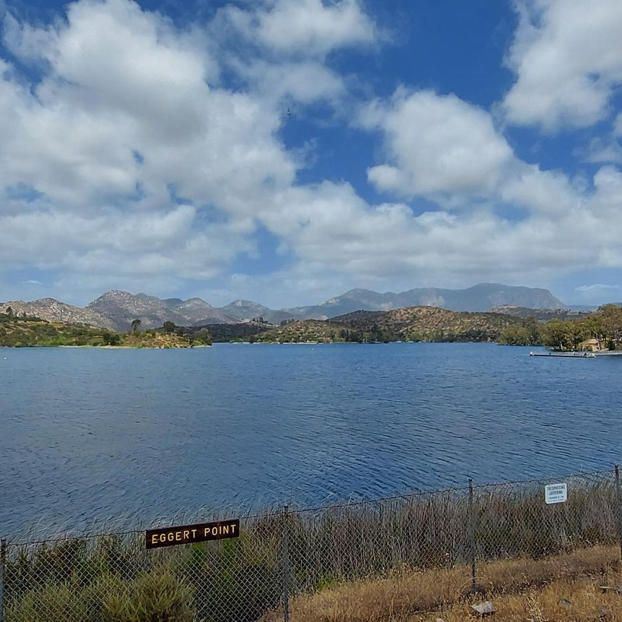
The Sweetwater River flows from Loveland Dam passing through Lake Emma, where the river bends west and runs parallel to Dehesa Road. The lake is fenced off and access is limited. At the western end of the lake is a golf club.
0
0
Frequently Asked Questions
What kind of terrain can I expect when road cycling in Harbison Canyon?
Harbison Canyon offers diverse terrain within a valley setting, featuring rural landscapes and varied elevation gains. You'll find well-paved surfaces with a mix of moderate climbs and more challenging ascents, characteristic of the surrounding hilly and mountainous areas. Routes can include segments with gradients up to 8.3%.
Are there road cycling routes suitable for beginners or those looking for an easier ride?
While Harbison Canyon is known for its varied terrain, many routes are classified as moderate. For instance, the Roadbike loop from Granite Hills is a moderate 48.1 km trail with manageable elevation, often completed in about 2 hours. Most of the 11 routes available are moderate, offering options for different fitness levels.
What are some of the more challenging road cycling routes in Harbison Canyon?
For experienced cyclists seeking a challenge, the Japutal Valey Road loop from Flinn Springs is a difficult 71.3 km path with a significant 1,330m of elevation gain. The region also features specific climbs, such as one spanning 3.7 miles with an average gradient of 3.3% and segments up to 8.3%.
Are there any circular road cycling routes in the area?
Yes, many of the routes around Harbison Canyon are designed as loops, allowing you to start and finish at the same point. Examples include the Sweetwater River loop from Alpine Boulevard & Peutz Valley Road and the Roadbike loop from Granite Hills.
What kind of views or landmarks can I expect to see along the road cycling routes?
The routes offer scenic rural landscapes within the valley. While cycling, you might encounter views of the surrounding hills and natural features. Nearby attractions include the Oakoasis Open Space Preserve, known for its tall shrubs and oak trees, and the Sweetwater River. There's also a View of Lake Emma and Golf Course highlight in the vicinity.
Is Harbison Canyon a good place for family-friendly road cycling?
The road cycling routes in Harbison Canyon are generally geared towards moderate to difficult levels due to the varied elevation. While there are moderate options, families with younger children or those seeking very flat, dedicated bike paths might find the terrain more challenging. Old Ironsides County Park in Harbison Canyon offers a playground and picnic areas, which could be a good spot for a family break.
Can I bring my dog along on the road cycling routes?
Road cycling routes in Harbison Canyon are primarily on public roads. While dogs are generally permitted in public spaces on a leash, specific regulations for pets on bike trails can vary. It's always best to check local signage or county park rules if you plan to bring your dog, especially if you intend to stop at parks or preserves like Oakoasis Open Space Preserve.
Are there places to park at the trailheads for road cycling?
Parking availability can vary depending on the specific starting point of your chosen route. Many routes begin from communities like Flinn Springs, Alpine, or Granite Hills, where street parking or designated public parking areas may be available. It's advisable to check the route details on komoot for specific parking recommendations for each tour.
What is the best time of year to go road cycling in Harbison Canyon?
Harbison Canyon, located in San Diego County, California, generally offers favorable cycling conditions for much of the year. Spring and fall typically provide pleasant temperatures. Summers can be warm, especially in the valley, so early morning rides are recommended. Winters are usually mild, making year-round cycling possible, though occasional rain might occur.
What do other road cyclists say about their experience in Harbison Canyon?
The road cycling routes in Harbison Canyon are highly rated by the komoot community, with an average score of 4.9 stars from 9 reviews. Over 200 road cyclists have explored the area using komoot, often praising the diverse terrain and the challenge offered by the climbs.
Are there any cafes or places to stop for refreshments along the routes?
Harbison Canyon is a more rural area, so dedicated cafes directly on the routes might be limited. However, starting points in nearby communities like Alpine, Flinn Springs, or Lakeside will likely offer more options for refreshments, groceries, or dining before or after your ride. Old Ironsides County Park in Harbison Canyon itself provides amenities like restrooms and picnic tables.
How long are the typical road cycling routes in Harbison Canyon?
The road cycling routes in Harbison Canyon vary in length. For example, the Sweetwater River loop from Alpine Boulevard & Peutz Valley Road is 52.7 km (32.8 miles), while the Vista Point – Japutal Valey Road loop from Alpine is 38.4 km (23.9 miles). The longest route, Japutal Valey Road loop from Flinn Springs, measures 71.3 km (44.3 miles).
Most popular routes around Harbison Canyon
Most popular attractions around Harbison Canyon

Get inspired with the komoot mobile app


Explore more
Browse the best Road cycling routes in other regions.
