
The best walks and hikes around Harbison Canyon
4.9
(13)
175
hikers
15
hikes
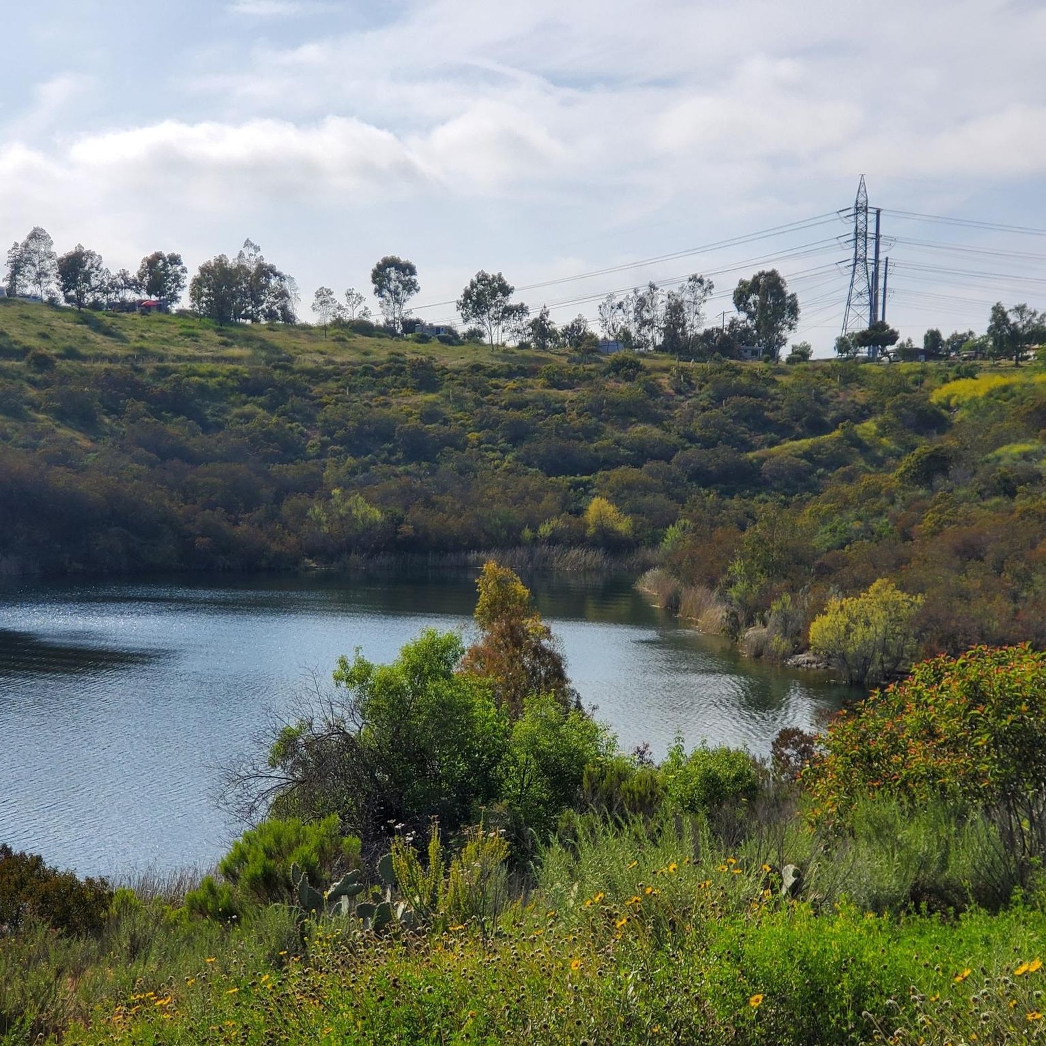
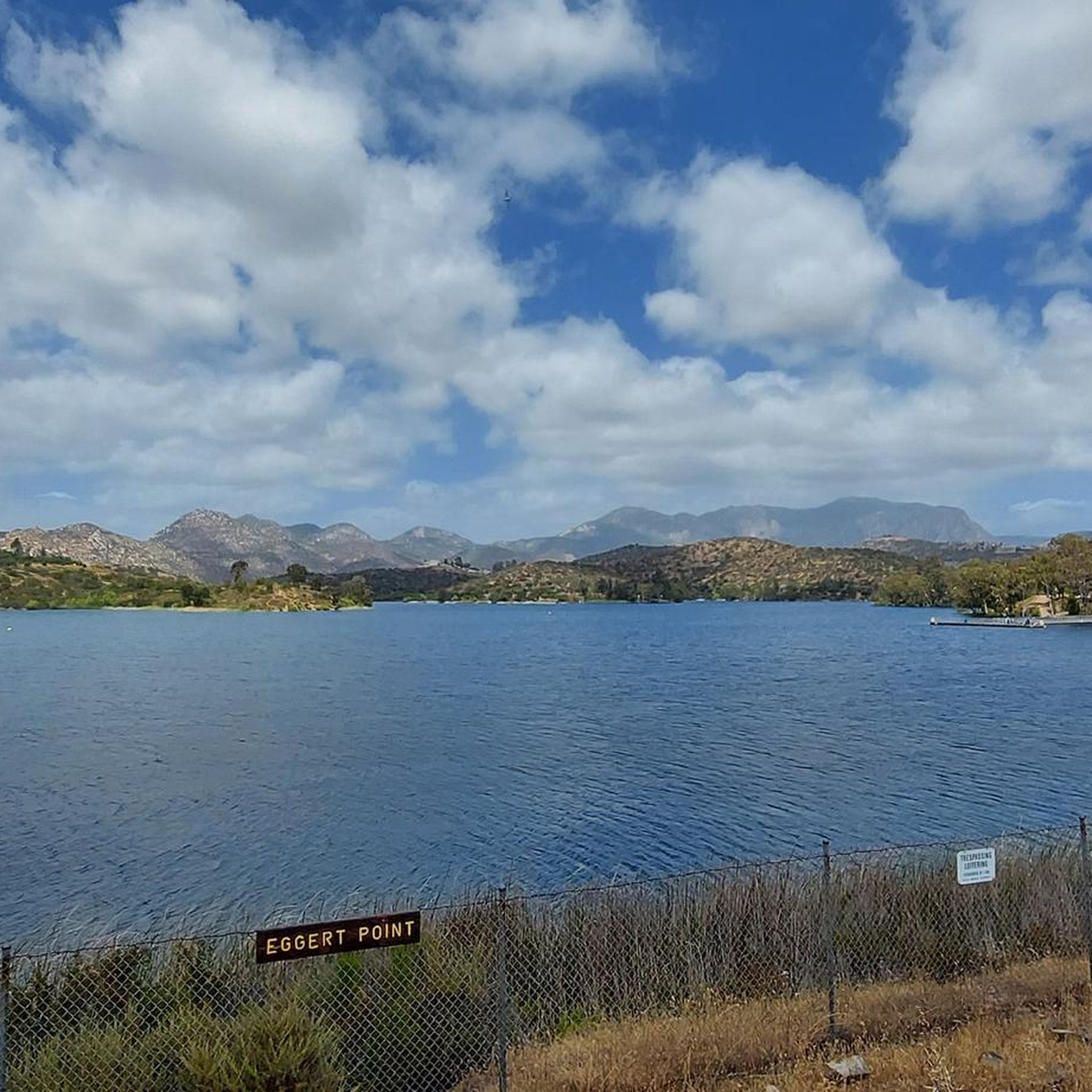
Hiking trails near Harbison Canyon CA are situated within the rolling hills of San Diego County. The area provides access to larger protected areas, including county parks and ecological reserves. The terrain consists of a mix of fire roads and single tracks that wind through coastal sage scrub, chaparral, and oak woodlands.
Best hiking trails around Harbison Canyon
- The most popular hiking route is El Cajon Mountain Trail — El Capitan County Preserve, a 11.6 miles (18.6 km) trail…
Last updated: September 28, 2026
4
hikers
6.96km
01:59
170m
170m
Embark on the Valley View Truck Trail Loop, an easy hiking route spanning 4.3 miles (7.0 km) with a gentle elevation gain of 552 feet (168 metres). You can expect…
3
hikers
3.65km
01:21
370m
10m
Embark on the McGinty Mountain Trail for a rewarding hike that climbs 1206 feet (367 metres) over 2.3 miles (3.6 km). This moderate route typically takes around 1 hour and…

2
hikers
4.25km
01:09
60m
60m
The Wright's Field Loop offers an easy hiking experience, covering 2.6 miles (4.3 km) with a gentle elevation gain of 201 feet (61 metres). You can expect to complete this…
15.6km
04:29
360m
360m
Embark on the Lake Jennings Trail for a moderate hiking experience spanning 9.7 miles (15.6 km). This route offers diverse terrain and scenic beauty, guiding you around the lake with…
6.91km
02:29
580m
100m
Embark on a moderate hike up McGinty Mountain North, a challenging route that covers 4.3 miles (6.9 km) and ascends 1914 feet (584 metres). You can expect to complete this…
Get access to more routes and recommendations from other explorers.
Already have an account?
Our route recommendations are based on thousands of hikes, rides, and runs completed by other people on komoot.
Start today with a free account
Your next adventure awaits.
Popular around Harbison Canyon
Frequently Asked Questions
Are there any easy, family-friendly hikes in the Harbison Canyon area?
Yes, for a shorter, accessible walk, consider the Stelzer Summit — Stelzer County Park trail. It's a relatively short route that's great for an easy outing. For a slightly longer but still manageable option, the Oakoasis loop — Oakoasis Open Space Preserve is a popular choice that offers a good taste of the local landscape without being too strenuous.
Are dogs allowed on the trails around Harbison Canyon?
Yes, dogs are generally welcome on the trails, but they must be kept on a leash. The primary hiking area, Crestridge Ecological Reserve, allows leashed dogs. It's a sensitive wildlife corridor, so it's important to keep your dog close and clean up after them to protect the local ecosystem.
Where can I find parking for the main hiking trails?
The main access point for hiking is the Crestridge Ecological Reserve. There is a dedicated parking area at the main entrance on Horsemill Road. This entrance also features a visitor center, restrooms, and drinking water, making it the best place to start your hike.
What is the landscape like in the Harbison Canyon area?
The terrain is characteristic of Southern California, featuring rolling hills covered in coastal sage scrub and chaparral. You'll also hike through beautiful sections of riparian and oak woodlands, especially in the canyons. Many trails lead to boulder-studded high points that offer panoramic views of the surrounding region.
Are there any circular or loop trails available?
Yes, there are several loop trails. A great option for a rewarding circular hike is the Sycuan Peak loop from Sycuan Peak. This route provides a complete circuit with consistent scenery and a good workout.
What kind of wildlife might I see while hiking?
The area is a biodiversity hotspot. Keep an eye out for birds of prey like Cooper's hawks and golden eagles. The trails are also home to deer, coyotes, and bobcats. The Crestridge Ecological Reserve is particularly important as it provides habitat for rare species like the Hermes copper butterfly and the endangered San Diego thornmint.
What should I wear for a summer hike in Harbison Canyon?
Summer can be very hot and dry. It's essential to wear lightweight, breathable clothing and a wide-brimmed hat for sun protection. Sturdy hiking shoes are a must due to the rocky and sometimes steep terrain. Most importantly, carry more water than you think you'll need, as many trails are exposed with little shade.
Is the area safe for solo hikers?
Yes, the main trails in the Crestridge Ecological Reserve are generally considered safe for solo hikers, especially during peak times when others are around. However, as with any wilderness area, you should always be prepared. Tell someone your route and expected return time, carry a fully charged phone, and be aware of your surroundings, including wildlife like rattlesnakes.
When is the best time to see wildflowers?
The best time to see wildflowers is typically in the spring, from late February to May, following the winter rains. During this period, the hillsides can be covered in colorful blooms, including the rare Lakeside-lilac. The specific timing and intensity of the bloom can vary each year depending on rainfall.
What do other hikers enjoy most about the Harbison Canyon area?
The area is highly rated by the komoot community, with an average score of 4.9 stars. Reviewers often praise the stunning panoramic views from the higher elevations and the peaceful, natural environment. The well-maintained trails that offer a good challenge are also frequently mentioned as a major highlight.
Are there other popular hiking areas near Harbison Canyon?
Yes, the region is rich with excellent hiking spots. Nearby, you'll find Mission Trails Regional Park, a vast and highly-regarded park with over 60 miles of trails. For those seeking a serious challenge, the El Capitan County Preserve is famous for its strenuous but rewarding climbs. Black Mountain Open Space Park is another great option, offering 360-degree views from its peak.
Can I get to the trailheads using public transport?
Accessing the primary trailheads, such as the one for Crestridge Ecological Reserve, via public transportation is very difficult. The area is primarily residential and suburban, with limited bus service that does not typically extend to the trail entrances. Driving is the most practical way to reach the hikes around Harbison Canyon.
Most popular routes around Harbison Canyon
Most popular attractions around Harbison Canyon

Get inspired with the komoot mobile app


Explore more
Browse the best Hikes in other regions.
