The best running trails around El Sobrante
4.2
(22)
1,908
runners
102
runs
Jogging around El Sobrante offers a diverse range of running experiences, primarily featuring shoreline paths, greenways, and lakeside trails. The region's terrain is generally gentle, with low elevation gains, making it accessible for various fitness levels. Runners can explore routes that provide scenic views of San Pablo Bay and tranquil park settings.
Best jogging routes around El Sobrante
- The most popular jogging route is Refugio Lake via Lupine Road loop, a 3.9 miles (6.2 km) trail that takes about…
Last updated: July 9, 2026
35
runners
4.96km
00:37
150m
150m
The Meadows Canyon, Curran & Wildcat Gorge Trail Loop offers a dynamic jogging experience through Tilden Regional Park, transitioning from sun-drenched meadows to deep, shaded canyons. You'll wind through dense…
4.0
(1)
30
runners
9.98km
01:11
230m
230m
The Wildcat Peak Loop offers a fantastic jogging experience through a diverse landscape of eucalyptus forests, oak woodlands, and open chaparral. As you navigate the 6.2-mile (10.0 km) route, you'll…

Sign up for free
24
runners
7.77km
00:49
40m
40m
The Point Pinole Bay View Loop offers a refreshing jogging experience along the San Pablo Bay shoreline, where you'll traverse open grasslands, marshland, and fragrant eucalyptus groves. Keep an eye…
3
runners
6.21km
00:39
80m
80m
The Refugio Lake via Lupine Road loop offers a wonderfully serene jogging experience, winding through well-maintained paths and bike paths within Refugio Valley Park. You'll enjoy the tranquil ambiance of…
4.0
(1)
28
runners
9.24km
01:13
220m
220m
Moderate run. Good fitness required. Mostly paved surfaces. Suitable for all skill levels.
Get access to more routes and recommendations from other explorers.
Sign up for free
Already have an account?
Our route recommendations are based on thousands of hikes, rides, and runs completed by other people on komoot.
Start today with a free account
Your next adventure awaits.
Login or Signup
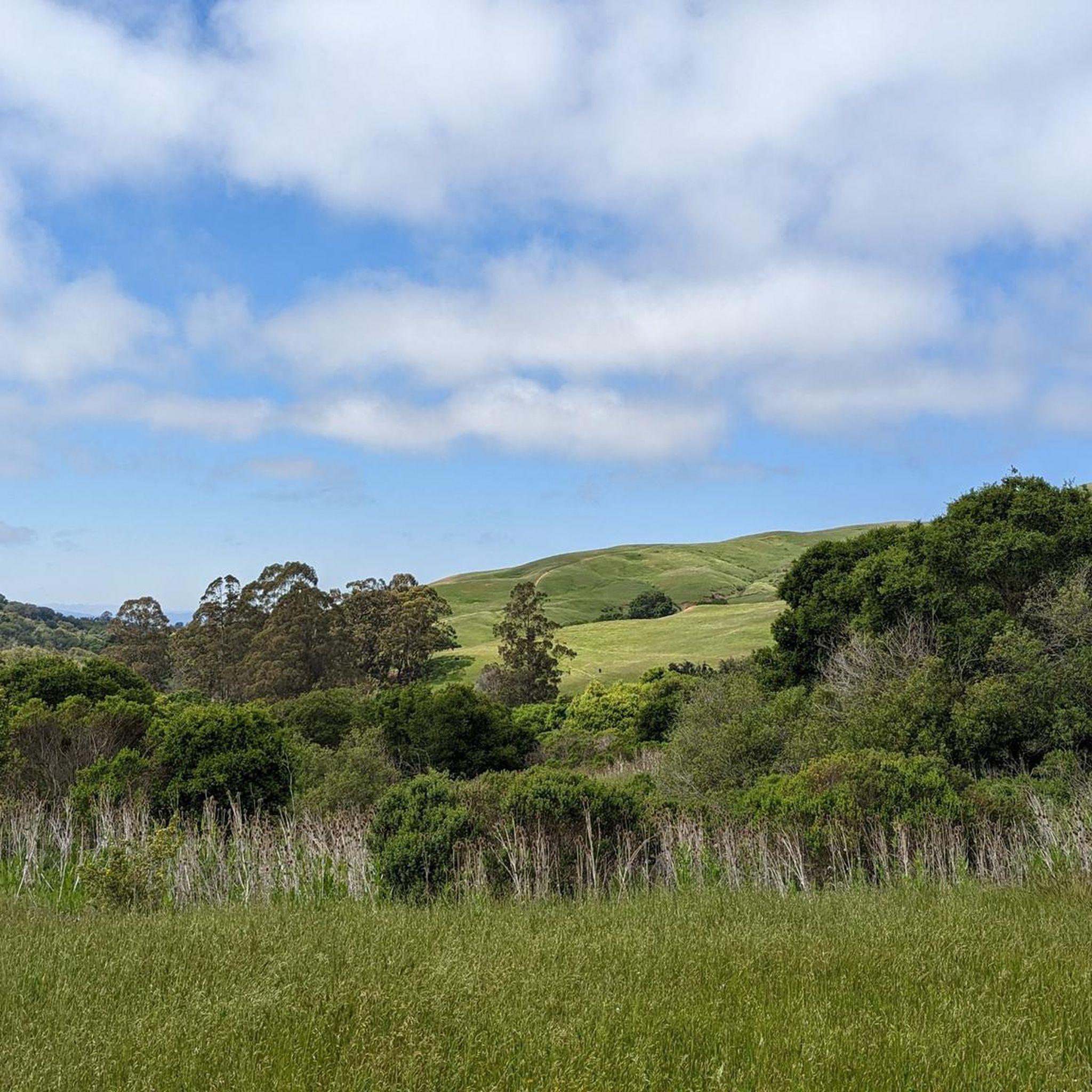
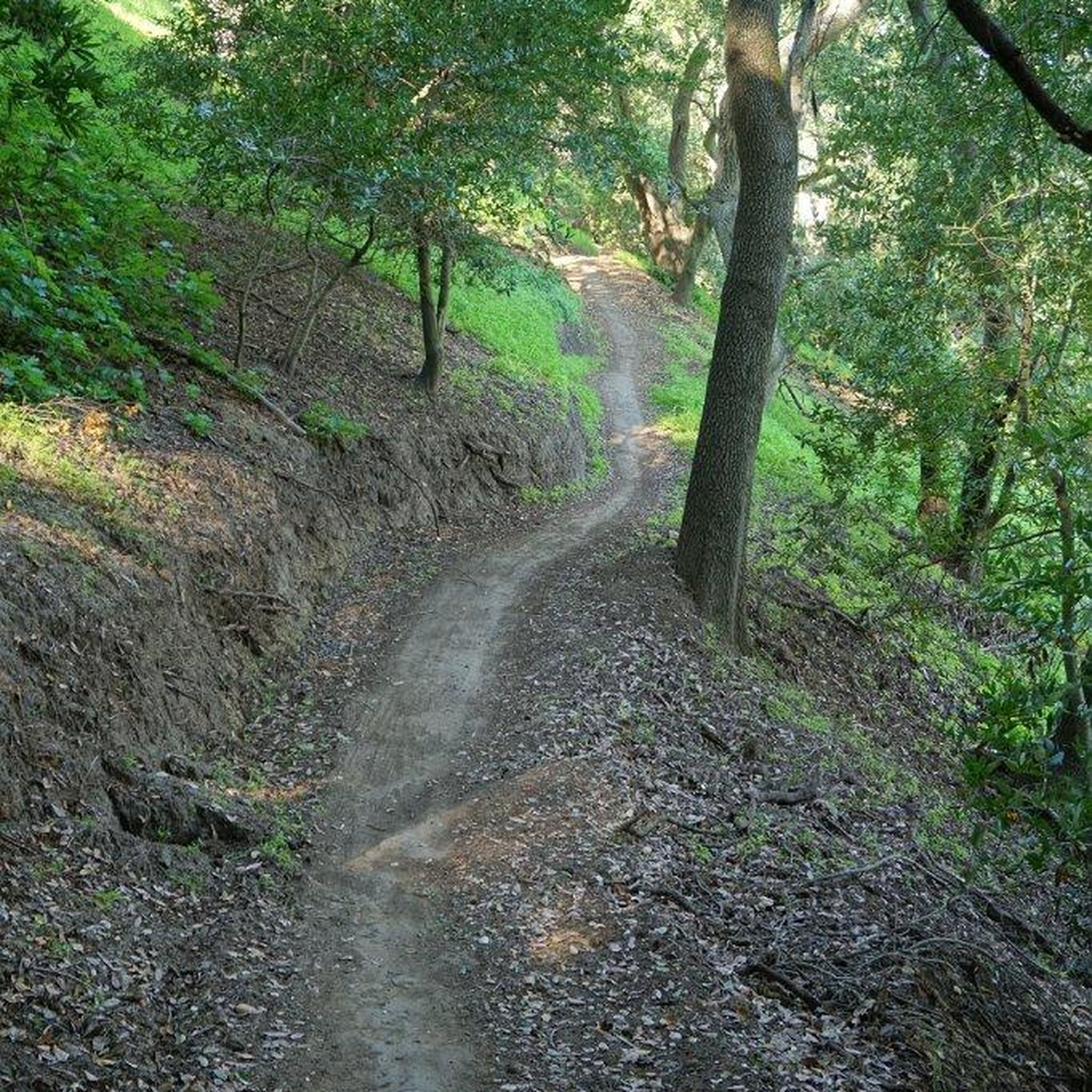
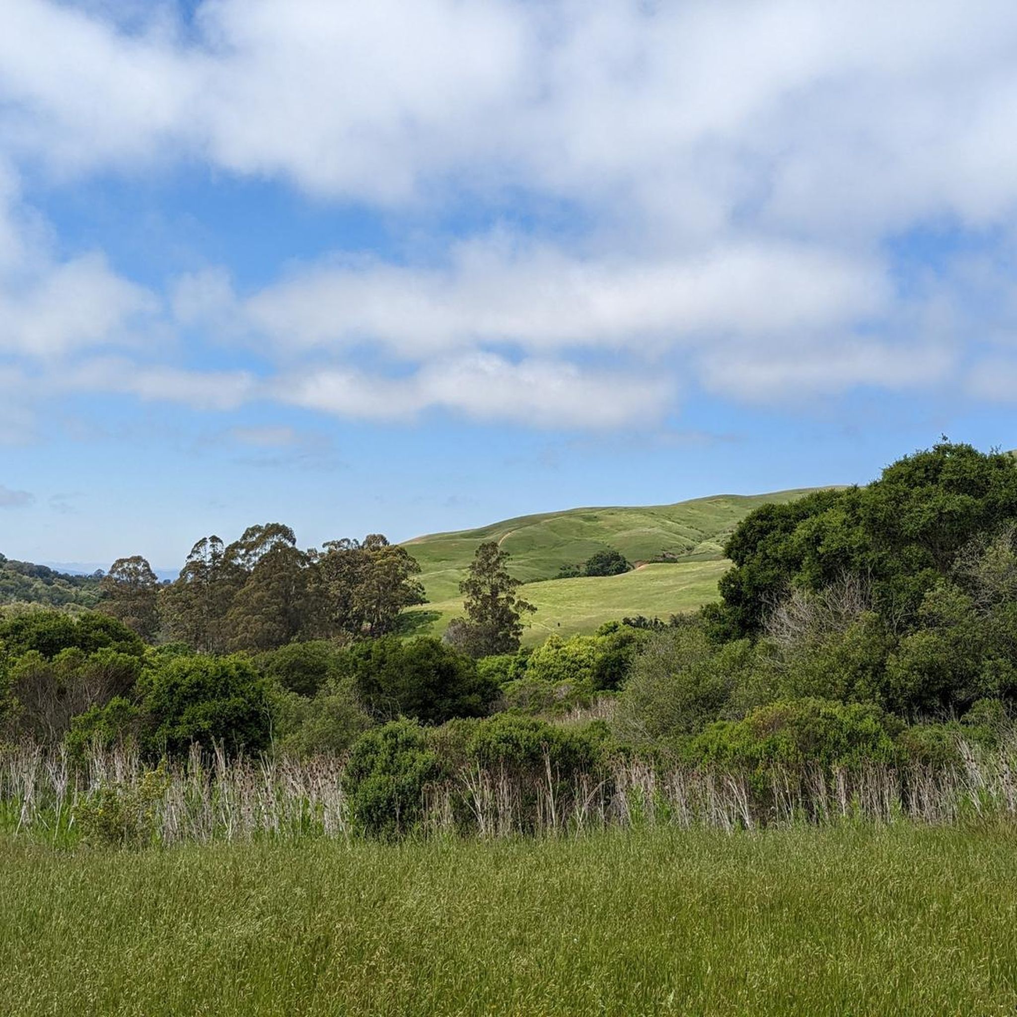
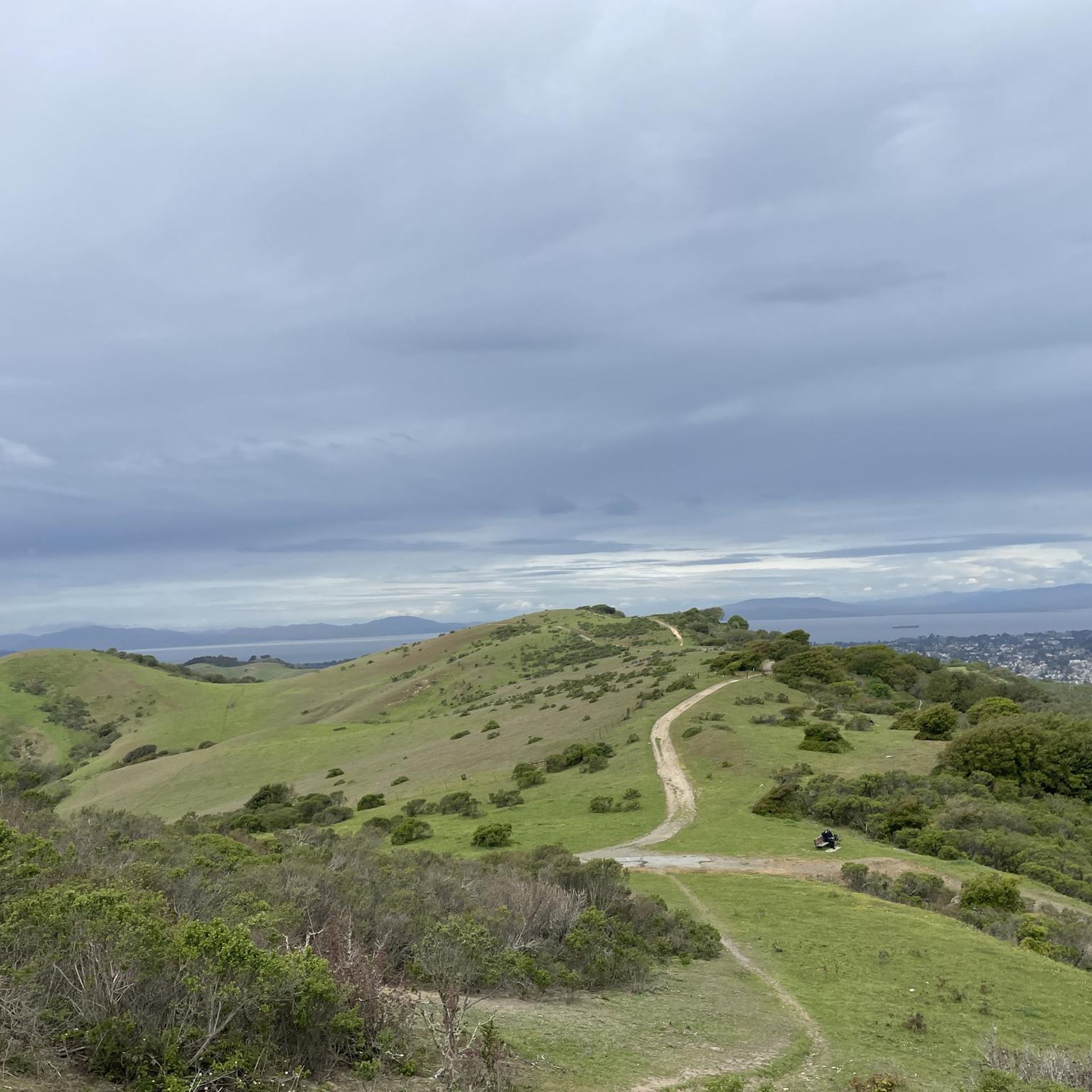

Tips from the Community

A lovely climb with a view of the bay but also of the water reservoir
1
0

Concrete fishing pier with excellent views across the bay. It juts out into the Carquinez Strait, with a fish cleaning station at the halfway point.
0
0

Wildcat Peak has been one of my favorite places to run before the sunrise for many years. It's great in the dark / before dawn because the trails are runnable and there's even the option of the paved Nimitz Way – under a full moon you don't even need a headlamp. Once at Wildcat Peak I love to look out to Mt Tampalpais to the west and Mt Diablo to the east .... one of the few places in the Bay Area where you can see the summits of both without obstruction.
0
0

Wildcat Creek Trail is a packed-dirt trail that is about four miles long. One end of the trail is at Jewel Lake, near the Environmental Education Center, and the other end of the trail is at the Alvarado Staging Area. This trail offers great views of Wildcat Creek and has some picnic tables you could stop at along the side of the trail.
0
0
Conlon Trail is a connector trail off of Nimitz Way Trail that spits you out on its south side at the intersection of Havey Canyon Trail and Wildcat Creek Trail. Conlon Trail offers from sweet views, but it's open to hikers and bikers, so keep an eye out for folks on foot.
0
0

Easy and fun hike for kids and adults, with spectacular views over the entire SF Bay, Golden Gate, Marin, Carquinez Straight, San Pablo Reservoir, and Briones Park.
0
0
Linking the “Loop Trail” parking lot and Inspiration Point parking lot, it’s also a great way to access trails on the ridge and in the gorge. Long, flowing, and runnable — it gets very muddy after rain.
1
0
Linking Wildcat Gorge and Inspiration Peak, this is a great connector trail. After rain it’s often very muddy, so be aware of that.
1
0
Frequently Asked Questions
How many running routes are available around El Sobrante?
There are over 80 running routes around El Sobrante, offering a wide variety of experiences. These include easy park loops, moderate shoreline paths, and some more challenging trails.
Are there any easy running trails suitable for beginners or a relaxed jog?
Yes, El Sobrante offers several easy running trails. A great option is the Shoreline Park loop from Hercules, which is about 4.6 km long and features gentle terrain, perfect for a relaxed run.
What are some good options for longer distance running in the area?
For a longer run, consider the Running loop from Point Pinole Regional Shoreline. This moderate route spans about 10.5 km and provides expansive coastal views, making it a rewarding choice for endurance training.
Are there any challenging running routes for advanced runners?
While many routes are moderate, El Sobrante does offer some more challenging options. Out of the 80 available routes, 14 are classified as difficult, providing greater elevation gains or more rugged terrain for advanced runners seeking a tougher workout.
Can I find running routes that are accessible by public transport?
Many of the greenway and shoreline routes in the El Sobrante area, such as sections of the Ohlone Greenway, are often accessible via public transport connections in nearby Richmond or Hercules. It's advisable to check local transit maps for specific stop locations relative to trailheads.
What kind of scenic views can I expect on El Sobrante's running trails?
Running routes in El Sobrante are known for their scenic beauty, primarily featuring stunning views of San Pablo Bay and tranquil lakeside settings. Trails like the San Pablo Bay View – Bay View Trail 🌊 Lookout loop from Point Pinole Regional Shoreline offer particularly impressive coastal vistas.
Are there any running routes that are suitable for families?
Yes, many of the easier, flatter routes along the shoreline and through local parks are suitable for families. These paths often have gentle gradients and provide safe environments for all ages to enjoy a run or walk together.
What do other runners enjoy most about jogging in El Sobrante?
The running routes around El Sobrante are highly rated by the komoot community, with an average score of 4.3 stars from over 30 reviews. Runners frequently praise the diverse terrain, from shoreline paths to greenways, and the beautiful bay views. The accessibility for various fitness levels is also a common highlight.
Are there any circular running routes in El Sobrante?
Yes, many of the popular running routes in El Sobrante are circular, allowing you to start and finish at the same point. For example, the Refugio Lake via Lupine Road loop is a popular 6.2 km circular trail offering pleasant lakeside views.
What natural attractions or landmarks can I see near the running trails?
While jogging, you can explore several natural attractions. Highlights include Lake Anza, the Wildcat Creek Trail, and the Bay Trail at Eastshore State Park. You might also encounter viewpoints like the Overlook - Briones Reservoir.
Are the running trails in El Sobrante dog-friendly?
Many of the regional parks and shoreline areas around El Sobrante welcome dogs, often requiring them to be on a leash. Specific regulations can vary by park, so it's always a good idea to check the local park rules before heading out with your canine companion.
Are there any running routes that pass by cafes or places to refuel?
While specific routes may not directly pass cafes, many trails are located near urban centers or park entrances where amenities are available. For instance, routes around Point Pinole Regional Shoreline are often a short distance from facilities in Richmond, where you can find places to refuel.
Most popular attractions around El Sobrante

Get inspired with the komoot mobile app


Explore more
Browse the best Running Trails & Routes in other regions.
