The best walks and hikes around El Sobrante
4.4
(98)
1,356
hikers
143
hikes
Hiking around El Sobrante offers access to natural beauty within Contra Costa County, characterized by rolling hills and lush greenery. The region features diverse landscapes, including oak/bay woodland, coyote brush scrub, and open grassland within regional preserves. San Pablo Creek also forms a green corridor, contributing to the area's natural assets. These varied environments provide a range of hiking experiences for different preferences.
Best hiking trails around El Sobrante
- The most popular hiking route is San Pablo Ridge Trail and Wildcat Creek Trail loop — Wildcat Canyon Regional Park, a 5.9 miles (9.6 km) trail that takes 2 hours 49 minutes to complete. This moderate loop offers varied terrain within Wildcat Canyon Regional Park.
- Another top favourite among local hikers is Wildcat Canyon Loop Trail from Alvarado Staging Area — Wildcat Canyon Regional Park, a moderate 11.1 miles (17.8 km) path. This longer route explores the expansive Wildcat Canyon, providing extensive views and natural scenery.
- Local hikers also love the Kennedy Grove Regional Recreation Area loop, a 2.0 miles (3.2 km) trail leading through the recreation area, often completed in about 1 hour 4 minutes.
- Hiking around El Sobrante is defined by rolling hills, lush greenery, and regional preserves like Sobrante Ridge and Wildcat Canyon. The network offers options for easy walks and more challenging moderate trails.
- The routes in El Sobrante are highly rated by the komoot community with an average score of 4.5 stars from over 80 reviews. More than 1,400 hikers have used komoot to explore El Sobrante's varied terrain.
Last updated: July 9, 2026
4.5
(4)
17
hikers
11.1km
03:11
290m
240m
Embark on a moderate hike through Wildcat Canyon Regional Park, covering 6.9 miles (11.1 km) with an elevation gain of 957 feet (292 metres). This route typically takes about 3 hours and 10 minutes to complete. You will experience diverse landscapes, starting along the tranquil Wildcat Creek before ascending to the San Pablo Ridge. From the ridge, enjoy expansive vistas of the Bay Area, including distant views of Mount Tamalpais and the San Francisco skyline. The trail then winds down through open grasslands and wooded sections of Havey Canyon, offering a pleasant change of scenery.
Plan your visit to Wildcat Canyon Regional Park by parking at one of the designated staging areas. Be aware that certain sections of the San Pablo Ridge Trail, especially a steep descent to the Belgum Trail, can become very muddy during the winter months, potentially making them difficult to navigate. You might also encounter grazing cows on the dirt roads, so stay alert and give them space. It's always a good idea to check park conditions before heading out, especially after rain.
This interconnected trail system provides a comprehensive exploration of Wildcat Canyon, showcasing its varied ecosystems. The route is particularly notable for its transition from riparian corridors to open ridge lines, offering different perspectives of the East Bay landscape. You can spot wildflowers in season, adding to the natural beauty of the journey. This loop is a great way to experience the diverse offerings of the regional park in a single outing.
1
hikers
18.2km
05:19
650m
210m
Prepare for a challenging hike on the Wildcat Canyon to Vollmer Peak route, a difficult journey spanning 11.3 miles (18.2 km) with a significant elevation gain of 2119 feet (646 metres). You can expect to spend around 5 hours and 19 minutes exploring its diverse landscapes. As you climb, you will pass through fragrant eucalyptus groves and open golden grasslands, experiencing varied terrain that includes both singletrack paths and fire roads with some steep ascents. The reward for your effort is the stunning 360-degree panorama from Vollmer Peak Summit, offering expansive views across the San Francisco Bay towards the Marin Headlands and Mount Tamalpais on clear days.
When planning your visit, be aware that the trail features varied terrain, including some steep ascents. Parking is generally available at trailheads within Tilden Regional Park or Wildcat Canyon Regional Park, so you should have options for where to start your adventure. Some wooded sections may have poison oak, though it is often trimmed back from the main path. Always check local park advisories before heading out.
This route takes you through varied ecosystems within Wildcat Canyon Regional Park and Tilden Regional Park. You will discover stunning vistas of the San Pablo Reservoir and Mount Diablo as you gain elevation. The trail is notable for its transition from dense groves to open grasslands, providing a dynamic experience that highlights the natural beauty of the East Bay hills.

Sign up for free
4.0
(1)
1
hikers
4.71km
01:27
260m
20m
Embark on an easy hike along the Wildcat Creek Trail to Belgum Trail to San Pablo Ridge Trail, a route that spans 2.9 miles (4.7 km) and involves an elevation gain of 840 feet (256 metres). You can expect to complete this journey in about 1 hour and 26 minutes. The trail offers a dynamic landscape, moving from the cool, shaded paths alongside Wildcat Creek, where eucalyptus and oak trees provide cover, to the expansive, sun-drenched vistas of the San Pablo Ridge. As you ascend, the scenery opens up to vast grassy hills. From the ridge, you are treated to sweeping 360-degree views that include the iconic San Francisco Bay, Mount Diablo, and Mount Tamalpais.
Planning your visit is straightforward, with parking generally available at the park's trailheads. The initial sections of the Wildcat Creek Trail are wide and relatively gentle, making them accessible for various activities. However, be aware that the Belgum Trail and parts of the San Pablo Ridge Trail can become steep. This variation in terrain adds a rewarding challenge to your outing.
This trail provides a great opportunity to experience the varied terrain of Wildcat Canyon Regional Park. You will transition from lush, creek-side environments to open, elevated viewpoints. The highlight for many is the panoramic outlook from the San Pablo Ridge, offering clear sightlines to major regional landmarks. It is a perfect choice if you are looking for a relatively short hike with diverse scenery and impressive views.
4.22km
01:19
190m
130m
Hike the easy 2.6-mile Sobrante Ridge Trail for diverse scenery, including bay views and a unique manzanita forest.
1.31km
00:24
70m
0m
Embark on an easy hike along the Laurel Loop, Kennedy Creek, and Black Oak Trail, a pleasant 0.8-mile (1.3 km) route that winds through groves of eucalyptus and oak trees. You will experience a mild terrain with minimal elevation changes, gaining only 228 feet (69 metres) over an estimated 23 minutes. The Black Oak Trail section is particularly scenic, featuring spectacular arching branches that create a unique canopy, especially beautiful with autumn colors among the evergreen coast live oaks.
This trail is located within the Kennedy Grove Regional Recreation Area, with the Kennedy Grove Trailhead serving as a clear starting point. Parking is generally available within the recreation area, making access straightforward for your visit. It is an ideal choice for a quick outing or a leisurely walk, perfect for those seeking a gentle and accessible outdoor experience.
Considered a family-friendly hike, the route offers opportunities for local wildlife spotting as you enjoy the natural surroundings. You will also find picnic tables conveniently placed along the Black Oak Trail, providing a perfect spot to pause and refresh during your short adventure. This trail stands out as an excellent option for beginners or anyone looking for a relaxing and undemanding nature escape.
Get access to more routes and recommendations from other explorers.
Sign up for free
Already have an account?
Our route recommendations are based on thousands of hikes, rides, and runs completed by other people on komoot.
Start today with a free account
Your next adventure awaits.
Login or Signup

Tips from the Community

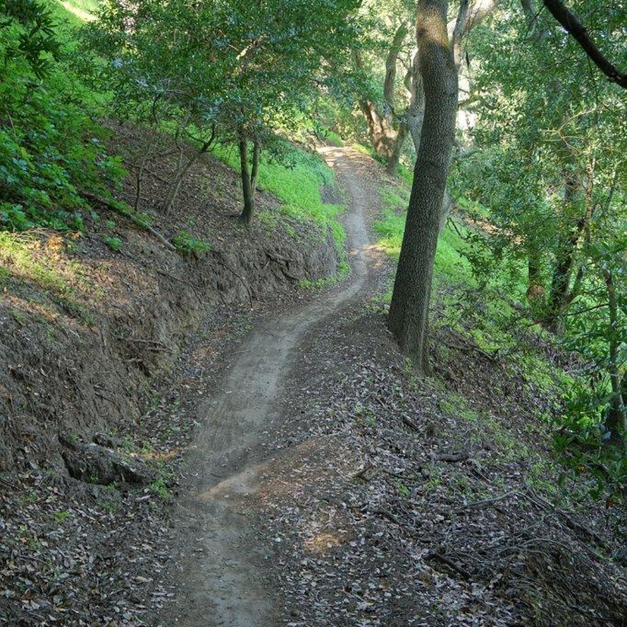
Start of several trails from the large parking area with picnic tables, restrooms, water.
0
0

The Tilden Steam Train is a 15 in gauge miniature railway at Tilden Regional Park. It offers visitors a ride along a ridge through the park, and gives you amazing views of the nearby valley and mountains.
0
0


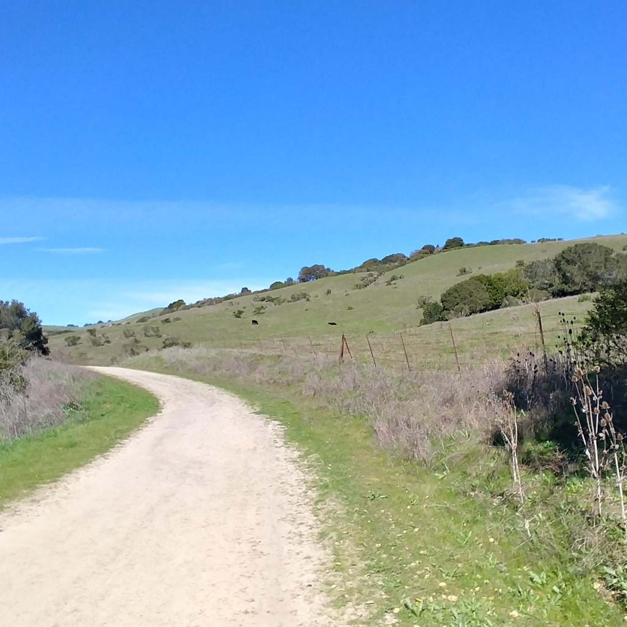
This scenic singletrack trail takes you through rolling verdant hills that overlook Berkeley and the many local regional parks. The trail system is extensive and you can find some partial shade in the summer.
0
0

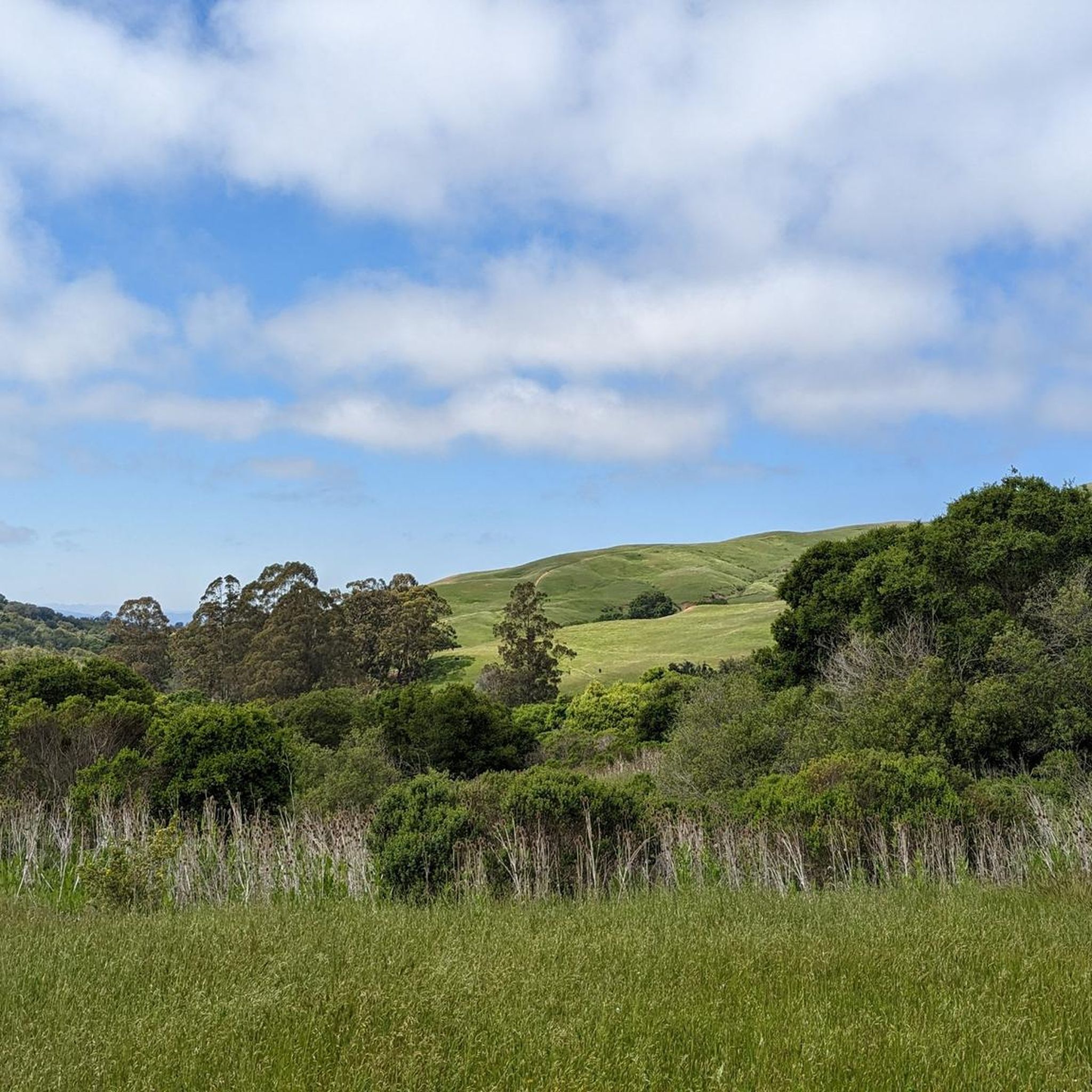
This spot offers spectacular views in every direction. Although there is no shade, it's a perfect spot to take a break, hydrate yourself, and capture breathtaking photos.
0
0

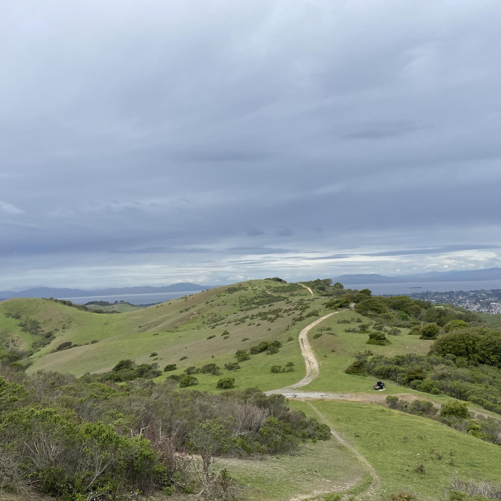
Take in views on all sides on a clear day. Nimitz Way is one of the most accessible trails in the Bay and has views for days. Stunning.
0
0

In this area of the Sobrante Ridge Regional Preserve, visitors can find the Sobrante Ridge Trailhead. The preserve is 277 acres in size and is a parkland that preserves the habitat of the extremely rare Alameda manzanita. It is an important home to indigenous plants and animals in this area.
0
0
Frequently Asked Questions
How many hiking trails are available around El Sobrante?
There are over 110 hiking routes available around El Sobrante, offering a wide range of experiences from easy strolls to more challenging moderate trails. This includes 80 easy routes, 33 moderate routes, and a few difficult options for experienced hikers.
What do other hikers say about the trails in El Sobrante?
The trails around El Sobrante are highly rated by the komoot community, with an average score of 4.5 stars from over 80 reviews. More than 1,400 hikers have used komoot to explore the varied terrain, often praising the lush greenery, scenic views, and the peaceful escape from urban centers.
What kind of terrain can I expect on hikes around El Sobrante?
Hikes around El Sobrante feature diverse terrain, characterized by rolling hills and lush greenery. You'll find oak/bay woodland, coyote brush scrub, and open grassland, particularly within regional preserves like Sobrante Ridge. Trails often consist of dirt fire roads and single-track paths, offering varied landscapes.
Are there dog-friendly hiking options in El Sobrante?
Yes, many areas around El Sobrante are dog-friendly. For example, Sobrante Ridge Regional Preserve allows dog walking. Always check specific park regulations, but generally, regional parks in the area welcome dogs, often requiring them to be on a leash.
Are there family-friendly hiking trails in El Sobrante?
Absolutely. El Sobrante offers several easy trails suitable for families. A good option is the Kennedy Grove Regional Recreation Area loop, which is 2.0 miles (3.2 km) long and can be completed in about an hour. Another easy choice is the Alvarado Park loop — Wildcat Canyon Regional Park, which is even shorter and has minimal elevation gain.
Are there circular hiking routes available in El Sobrante?
Yes, El Sobrante has several excellent circular hiking routes. A popular moderate option is the San Pablo Ridge Trail and Wildcat Creek Trail loop — Wildcat Canyon Regional Park, which is 5.9 miles (9.6 km). For a longer challenge, consider the Wildcat Canyon Loop Trail from Alvarado Staging Area — Wildcat Canyon Regional Park, an 11.1-mile (17.8 km) path.
What are the parking options for hiking trails in El Sobrante?
Many regional parks and preserves around El Sobrante, such as Wildcat Canyon Regional Park and Kennedy Grove Regional Recreation Area, offer designated parking areas at their staging points or trailheads. It's always advisable to check specific park websites for detailed parking information and any potential fees.
Can I reach hiking trails in El Sobrante using public transport?
While some regional parks in the East Bay are accessible by public transport, direct access to all trailheads in El Sobrante might be limited. It's recommended to check local AC Transit bus routes and schedules for connections to areas near Wildcat Canyon Regional Park or Kennedy Grove Regional Recreation Area. Planning your route in advance is key.
What is the best time of year to go hiking in El Sobrante?
El Sobrante offers pleasant hiking conditions for much of the year. Spring and fall are particularly ideal, with mild temperatures and vibrant natural scenery. Summers can be warm, so early morning or late afternoon hikes are preferable. Winters are generally mild, making hiking possible, though trails might be muddy after rain.
Are there any interesting landmarks or natural features to see along the trails?
Yes, the area boasts several natural features and nearby attractions. You can explore the diverse flora, including rare Alameda manzanita, within Sobrante Ridge Regional Preserve. The San Pablo Creek area is also a 'green corridor' with mature riparian woodlands. Nearby, you can find highlights like Lake Anza and the Wildcat Creek Trail. For scenic views, consider the Overlook - Briones Reservoir.
Are there any challenging trails for experienced hikers near El Sobrante?
While most trails are easy to moderate, experienced hikers can find longer, more challenging routes. For instance, the Wildcat Canyon Loop Trail from Alvarado Staging Area is an 11.1-mile (17.8 km) moderate route with significant elevation changes that provides a good workout and extensive views.
Where can I find places to eat or drink after a hike in El Sobrante?
El Sobrante and its surrounding communities offer various local cafes, restaurants, and pubs where you can refuel after your hike. While specific establishments are not directly on the trails, you'll find options within a short drive from most trailheads, particularly along San Pablo Dam Road and in nearby Richmond.
Most popular attractions around El Sobrante

Get inspired with the komoot mobile app


Explore more
Browse the best Hikes in other regions.
