The best walks and hikes around Avocado Heights
4.9
(19)
295
hikers
37
hikes
Hiking around Avocado Heights, located in the San Gabriel Valley, offers diverse terrain for outdoor enthusiasts. The region is characterized by rolling hills, chaparral-covered slopes, and vital riparian corridors along creeks and rivers. This combination provides a variety of hiking experiences, from easy walks along waterways to moderate climbs with significant elevation gain in the hills. The area's elevated terrain offers scenic vantage points across Los Angeles County.
Best hiking trails around Avocado Heights
- The most popular hiking route is…
Last updated: May 20, 2026
7
hikers
6.31km
01:53
210m
180m
This easy 3.9-mile loop in Puente Hills Preserve offers panoramic views of Los Angeles, diverse terrain, and a unique graffiti-covered water
8
hikers
3.23km
01:04
270m
0m
Hike the easy 2.0-mile Nike Hill trail in Puente Hills for panoramic views of Los Angeles and a glimpse into Cold War history.

Sign up for free
4.46km
01:09
30m
30m
The Industry Hills Trail offers an easy escape into nature, winding through the gentle hills on a wide, multi-use path. You will enjoy pleasant elevated views of the surrounding area…
24.8km
06:16
40m
60m
Hike the 15.4-mile Rio Hondo River Trail, a difficult route through the Whittier Narrows Recreation Area, taking over 6 hours.
13.6km
03:26
20m
30m
Hike the moderate 8.4-mile Rio Hondo River Trail in Whittier Narrows Recreation Area, featuring diverse scenery and wildlife spotting opport
Get access to more routes and recommendations from other explorers.
Sign up for free
Already have an account?
Our route recommendations are based on thousands of hikes, rides, and runs completed by other people on komoot.
Start today with a free account
Your next adventure awaits.
Login or Signup

Tips from the Community

There is a parking lot and restroom here at the trailhead, which provides access to a large network of paved and packed dirt trails along the beautiful Rio Hondo. The trailhead closes at sunset.
0
0

Bosque del Rio Hondo, which is Spanish for “Forest of the Deep River, is a small quaint green area just off from Whittier Arrows lakes & Recreation Area. It is also abundant with wildlife and used by the public for picnics, biking and hiking because it provides access to the Rio Hondo and San Gabriel River bicycle paths.
1
0

Whittier Hill sits at an elevation of 1288 feet (386 m). This summit has a water tower covered with dishes, and some describe the satellites as making it look like a satellite crashed on the top of Whittier Hill. Rattlesnake Ridge Trail will take hikers and runners up to the top of this hill.
0
0

The graffiti-covered water tower at the top of Whittier Hill might not be the most alluring of landmarks, but take a minute to turn and look around: You have some amazing views over the hills, including wildland preserves to the south, southwest and northeast of you.
1
0

Puente Hills, a Transverse Range in Los Angeles County, includes the Whittier Hills. Hellman Wilderness Park features trails through coastal sage scrub habitats, offering Los Angeles Basin vistas.
0
0

Frequently Asked Questions
Are there any family-friendly or easy hikes in Avocado Heights?
Yes, the area offers several easier options perfect for families or beginners. The Puma Trail loop from Hillgrove is a great choice, offering a relatively short walk through the Puente Hills Preserve. Another excellent spot is the Arroyo Pescadero Trailhead, which provides access to a gentle loop trail in a natural setting that's well-regarded by families.
Can I bring my dog on the trails around Avocado Heights?
Many trails in the area are dog-friendly, but they must be kept on a leash. The trails starting from the Arroyo Pescadero Trailhead are a popular choice for dog walkers. Always bring water for your pet, especially as many routes have limited shade, and be mindful of wildlife like rattlesnakes.
What is the terrain like for hiking in this area?
The hiking terrain around Avocado Heights is quite varied. You'll find flat, multi-use paths like the Avocado Heights Trail, which follows a decomposed granite surface. For more of a challenge, the nearby Puente Hills Preserve offers hilly trails with significant elevation gain, rolling through canyons and up to ridges covered in coastal sage scrub.
Where can I find hikes with the best views?
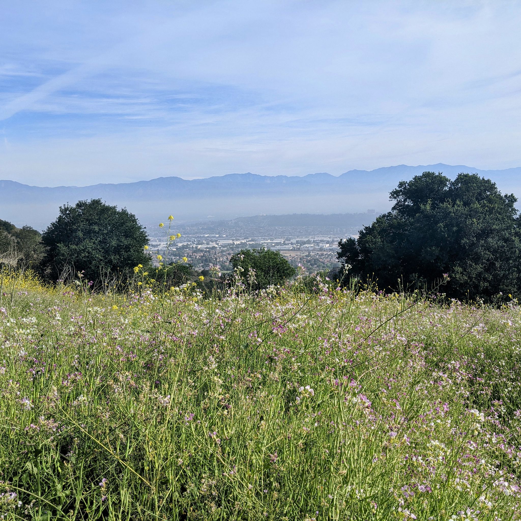
For expansive views, head into the Puente Hills. Trails within Turnbull Canyon often lead to high points with rewarding vistas. A climb to the water tower area offers nearly 360-degree views that can stretch to downtown Los Angeles and the San Gabriel Mountains on a clear day. The Schabarum Skyline Trail is another popular option known for its great views over the valley.
Are there any circular or loop hikes available?
Yes, many of the best hikes in the area are loops. The Whittier Hill loop from Whittier is a fantastic moderate circular route that explores the rolling landscape of the Puente Hills. This allows you to enjoy a continuous journey without backtracking.
What is the best time of year to hike in Avocado Heights?
The cooler months from fall through spring are generally the best time to hike here. The temperatures are more pleasant for climbing the hills, and the air is often clearer, providing better long-distance views. After winter rains, the hills can be green and vibrant with wildflowers.
How many hiking trails are there in the Avocado Heights area?
There are over 20 hiking routes to explore around Avocado Heights. The selection includes 11 easy-rated trails suitable for most fitness levels and 10 moderate trails for those seeking more of a challenge with some elevation gain.
What do other hikers think of the trails around Avocado Heights?
The area is highly rated by the komoot community, with an average score of 4.9 stars. Hikers often praise the variety of trails, from easy creek-side paths to challenging hill climbs, and the beautiful views available from the ridges of the Puente Hills Preserve.
Where are the popular places to start a hike?
Several trailheads are local favorites. The Hacienda Hills Trailhead on S 7th Ave is a very popular starting point for moderate and challenging hikes with picturesque mountain views. For access to Turnbull Canyon, many hikers start near the main entrance on Turnbull Canyon Road. The Arroyo Pescadero Trailhead is another well-regarded option for accessing loop trails in a natural setting.
Are there any hikes with waterfalls near Avocado Heights?
The trails in and around Avocado Heights are not known for waterfalls. The landscape is primarily characterized by dry canyons, riparian woodlands along creeks, and coastal sage scrub on the hillsides. The hikes focus more on elevation, views, and the unique chaparral environment.
What kind of wildlife might I see while hiking?
The natural areas around Avocado Heights support a variety of wildlife. In the Puente Hills Preserve, it's common to see birds of prey like hawks. Along the San Jose Creek and in the Bosque del Rio Hondo, you might spot herons, ducks, rabbits, and even coyotes. Always keep a respectful distance from any wildlife you encounter.
Where can I find a trail map for the area?
For official trail maps and quick guides, you can check the LA County Trails website. They provide helpful PDFs for specific trails, such as the Avocado Heights Trail and the San Jose Creek Trail, which can be useful for planning your hike.
Most popular attractions around Avocado Heights

Get inspired with the komoot mobile app


Explore more
Browse the best Hikes in other regions.
