The best cycling routes around Alto
4.5
(418)
6,538
riders
153
rides
Touring cycling routes around Alto feature diverse terrain, from coastal paths along the San Francisco Bay to challenging ascents in the Marin Headlands. The region is characterized by rolling hills, dense woodlands, and panoramic views of the Pacific Ocean and the Golden Gate. Cyclists can navigate paved trails, scenic highways, and routes that connect charming waterfront communities.
Best touring cycling routes around Alto
- The most popular touring cycling route is San Francisco Bay Trail: Tiburon Loop, a 26.2 miles…
Last updated: July 4, 2026
4.9
(22)
288
riders
42.1km
02:35
380m
390m
Moderate bike ride. Good fitness required. Mostly paved surfaces. Suitable for all skill levels.
5.0
(3)
97
riders
47.2km
03:52
1,320m
1,320m
Hard bike ride. Very good fitness required. Mostly paved surfaces. Suitable for all skill levels.

Sign up for free
5.0
(2)
23
riders
18.4km
01:19
150m
150m
Moderate bike ride. Good fitness required. Mostly paved surfaces. Suitable for all skill levels.
5.0
(1)
85
riders
31.7km
03:02
880m
880m
Hard bike ride. Very good fitness required. Mostly paved surfaces. Suitable for all skill levels.
116
riders
31.4km
03:00
750m
750m
Hard bike ride. Very good fitness required. Mostly paved surfaces. Suitable for all skill levels.
Get access to more routes and recommendations from other explorers.
Sign up for free
Already have an account?
Our route recommendations are based on thousands of hikes, rides, and runs completed by other people on komoot.
Start today with a free account
Your next adventure awaits.
Login or Signup

Tips from the Community

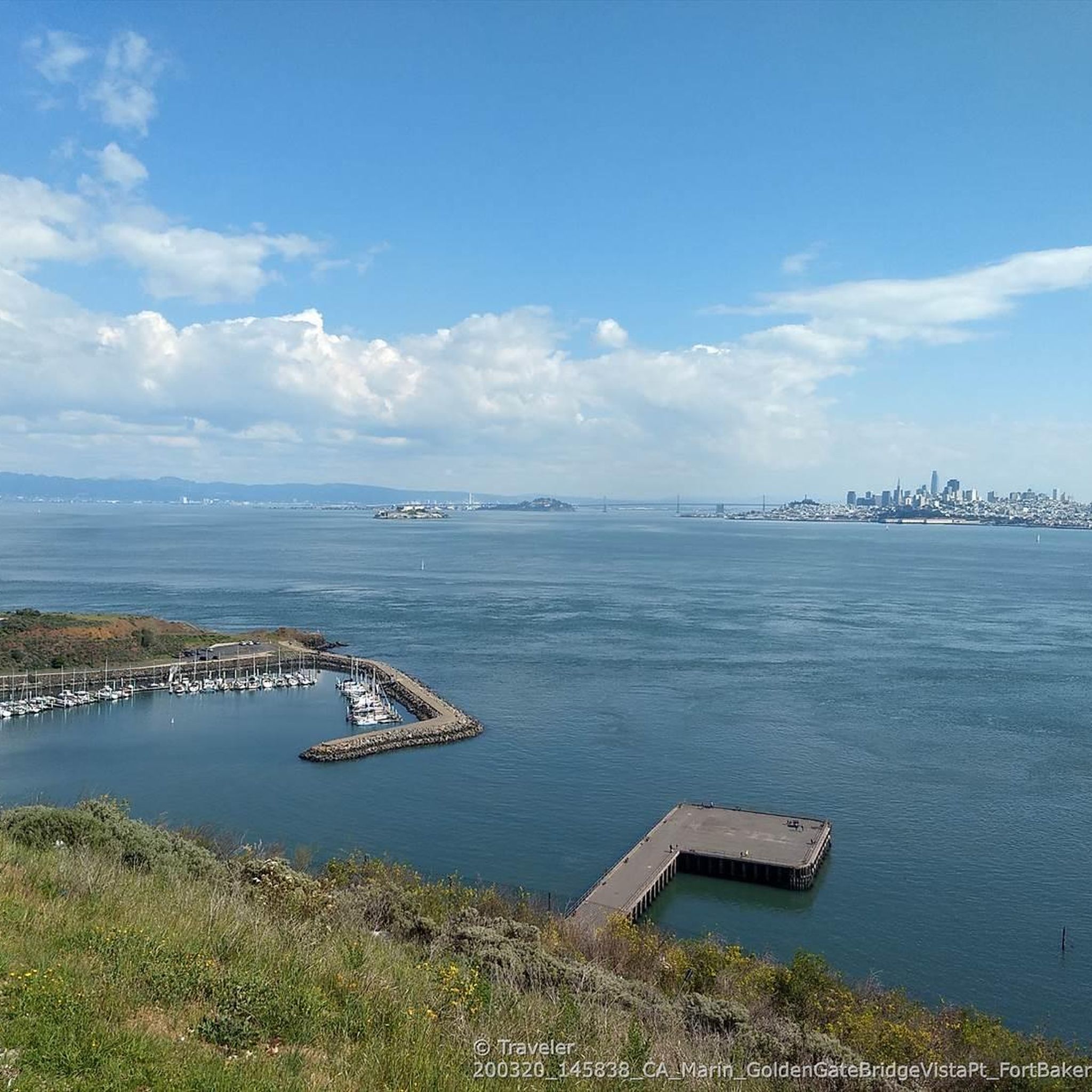
Climbing up Mount Tamalpais, you'll find many great spots for admiring the scenery, but this one particularly struck me because, almost immersed in nature, you can see the city skyline in the distance. I found it so moving that I stopped my bike and stood there contemplating the landscape for a few minutes. The climb is a bit steep, but it's definitely worth it!
0
0

At the end of the gradual Tennessee Valley Road, the last mile or so unpaved but smooth gravel, awaits the natural sandy wide beach cove. The steep coastal trails climbing on either side are hiking only.
0
0

Mount Tam East Peak offers some of the most majestic views north of the bay. From this vantage point, you can see all of Marin, along with Point Reyes to the north and Oakland and San Francisco to the south. The stunning panoramic vistas make the journey well worth the effort. There are restrooms and picnic tables, ideal for a snack or lunch while you capture some incredible photos.
0
0

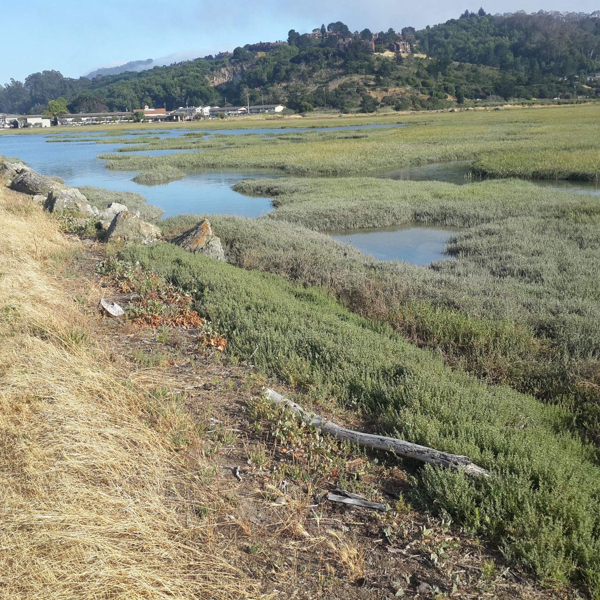
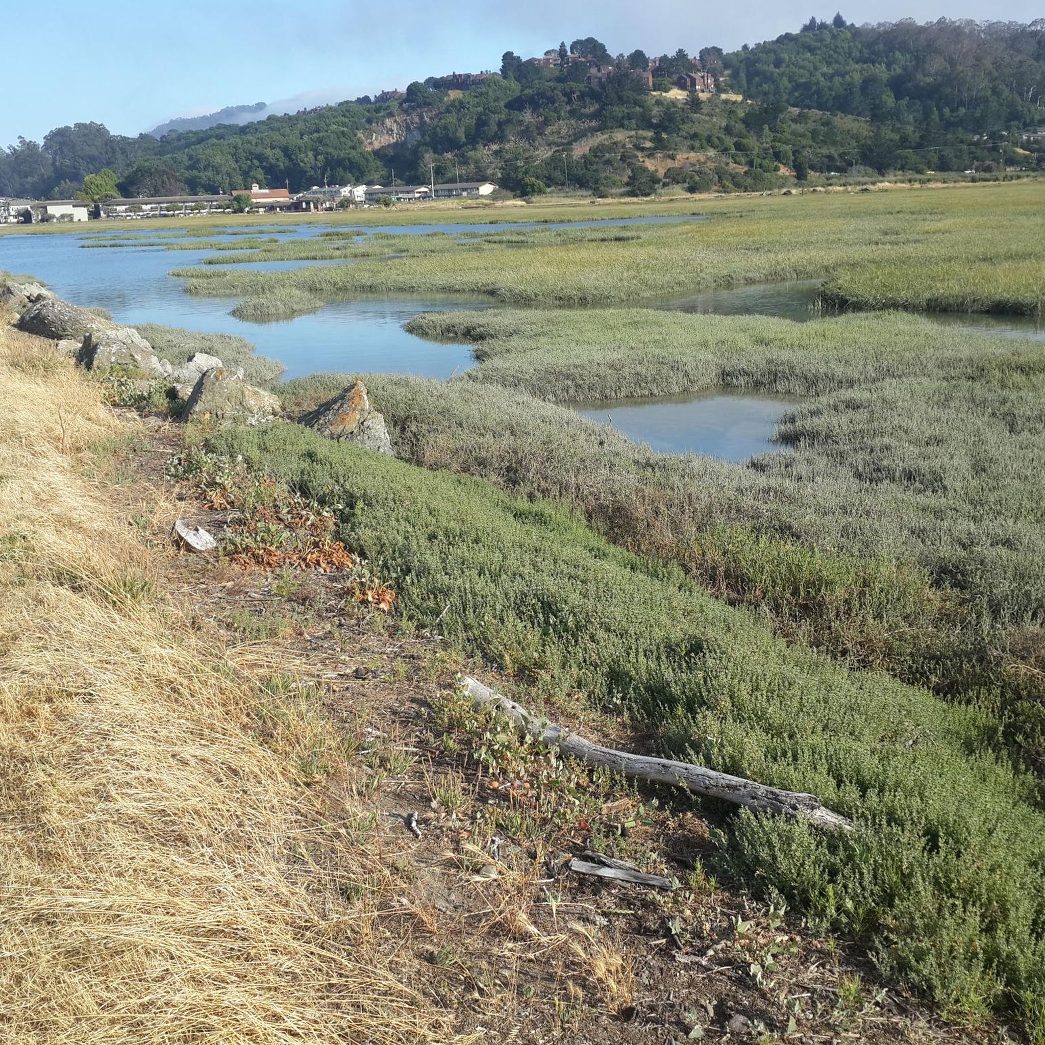
The Old Tiburon Rail Trail is a scenic 2.6-mile path along the San Francisco Bay, with breathtaking water views and Mt. Tamalpais. Starting at Blackie's Pasture, it winds past coastal mudflats full of wildlife before transitioning into an on-street bike lane leading to downtown Tiburon. It's a fantastic, smooth ride with historical markers, parks, and a ferry terminal at the trail's end, making it an ideal place to enjoy nature and local history for a day away from the big city.
0
1

Often busy on weekends, this is a great spot to take moment before/after summiting Mt Tam. There are spigots to fill up water and bathrooms that are open during park hours. The parking lot is very close for those that drive up. There is access to MANY trails for those on foot/bike.
0
0

The Pantoll Campground is a First-come/first-serve site in Mt. Tamalpais State Park. Each site has a barbeque grill, a fire ring, and a picnic table. You need to pay for the site at the Ranger Station as you enter the park.
1
0
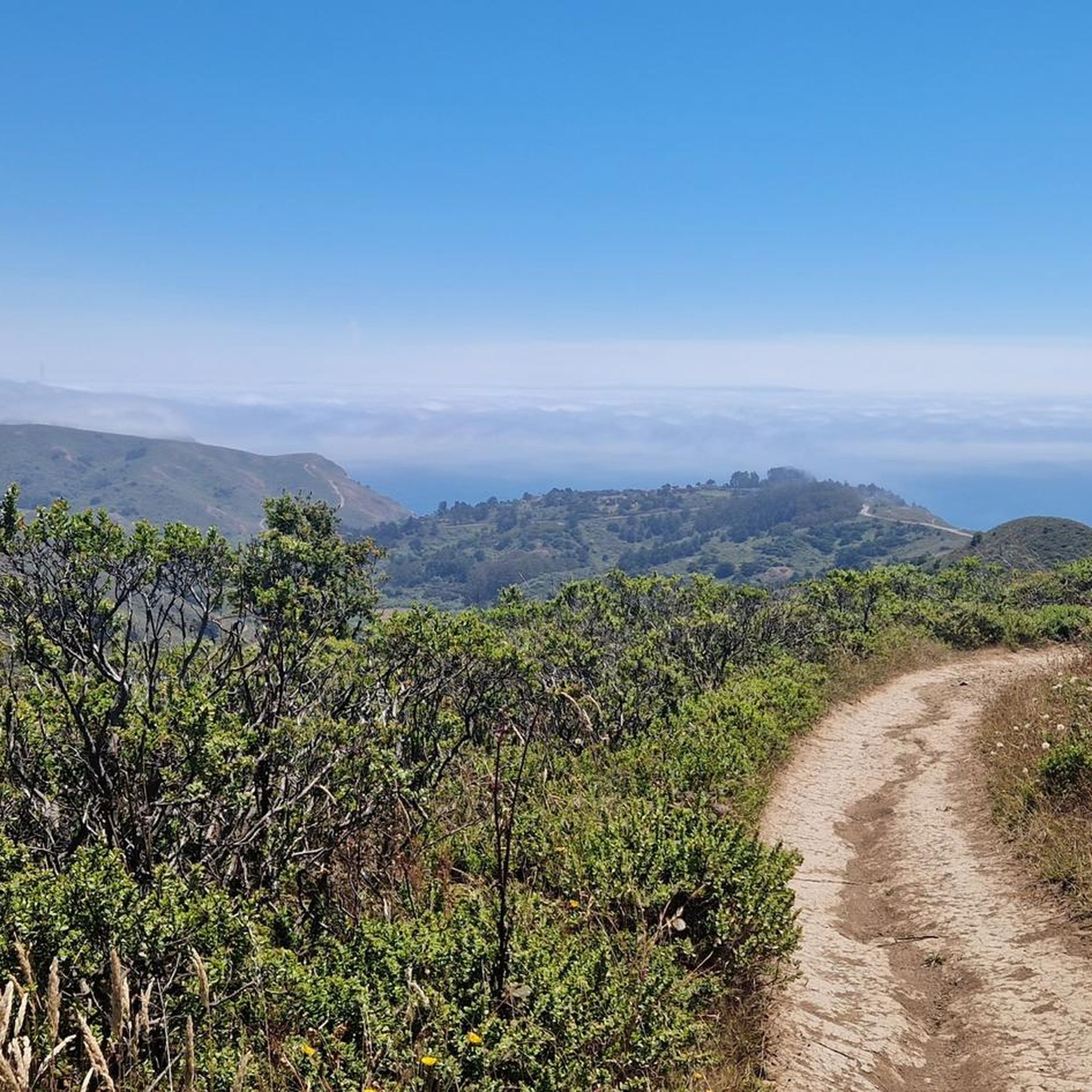
Pantoll Road is a beautiful, mostly paved route through Mount Tamalpais State Park, connecting the Panoramic Highway to Ridgecrest Boulevard. It winds closely along the curves of the hillside, with some shade from the trees in some spots. There are fantastic views along the way of San Francisco and the Marin Headlands, with incredible viewpoints over the Pacific coastline.
0
0
Frequently Asked Questions
How many touring cycling routes are available in Alto?
Alto offers a wide selection of touring cycling routes, with over 140 options to explore. These routes cater to various skill levels, from leisurely rides along the bay to challenging climbs in the mountains.
Are there touring cycling routes suitable for beginners in Alto?
Yes, Alto has several touring cycling routes perfect for beginners. There are over 30 easy routes available. A great option for a relaxed ride is the San Francisco Bay Trail: Tiburon Loop, which offers continuous bay views and passes through the scenic town of Tiburon.
What kind of scenery can I expect on touring cycling routes around Alto?
Touring cycling around Alto offers incredibly diverse scenery. You can expect panoramic views of the San Francisco Bay and the Pacific Ocean, especially along routes near the Santa Cruz Mountains and Skyline Boulevard. Many paths wind through majestic redwood forests, rolling hills, and open preserves like the Pearson-Arastradero Preserve. The Palo Alto Baylands Nature Preserve provides tranquil wetland views, ideal for birdwatching.
Are there any notable landmarks or viewpoints along the touring cycling routes?
Yes, the routes around Alto feature several interesting landmarks and viewpoints. You can find scenic overlooks like the Remillard Park 🌳 and the Sunset Trail lookout, offering stunning vistas. The Stanford Dish is also a popular spot for panoramic views of the Stanford area. For a unique experience, consider routes that pass by Phoenix Lake or the Bon Tempe Dam 🚵.
Are there challenging touring cycling routes for experienced cyclists in Alto?
Absolutely. For experienced cyclists seeking a challenge, Alto offers over 45 difficult routes. The Stinson Beach Overlook & Mount Tamalpais loop via Panoramic Highway is a demanding path with significant elevation gain, providing expansive coastal and mountain vistas. Another challenging option is the Mount Tamalpais East Peak – Pantoll Road 🌲 loop from Mill Valley.
What do other touring cyclists say about the routes in Alto?
The touring cycling routes in Alto are highly regarded by the komoot community, boasting an impressive average rating of 4.7 stars from over 380 reviews. Cyclists frequently praise the diverse terrain, from bayfront paths to challenging hill climbs, and the stunning views of the Pacific Ocean and Golden Gate.
Are there family-friendly touring cycling routes in Alto?
While specific family-friendly routes are not explicitly tagged, many of the easier, flatter routes, especially those along the Palo Alto Baylands Nature Preserve, are suitable for families. These paths offer tranquil environments away from heavy traffic, perfect for a leisurely ride with children.
Can I bring my dog on touring cycling routes in Alto?
Many open spaces and preserves in the Palo Alto area, such as Foothills Park and Pearson-Arastradero Preserve, have trails where dogs are permitted, often on leash. However, specific regulations for cycling with dogs can vary by trail and park, so it's always best to check local signage or park websites before heading out.
Are there circular touring cycling routes available in Alto?
Yes, Alto features several excellent circular touring cycling routes. Popular loop options include the Stanford - Portola Loop and the Pescadero Loop. For a longer ride, the Paradise Beach County Park – Immigrant Point Overlook loop from Corte Madera offers a scenic circular journey.
What is the best time of year for touring cycling in Alto?
The best time for touring cycling in Alto is generally during the spring and fall months when the weather is mild and pleasant. Summers can be warm, especially inland, while winters are typically mild but can bring rain. The region's Mediterranean climate means comfortable cycling is possible for much of the year, with less extreme temperatures than many other areas.
How can I access touring cycling routes in Alto using public transport?
The Palo Alto area has a bike-friendly infrastructure, and public transport options like Caltrain and local bus services often accommodate bicycles, allowing access to various trailheads and starting points. Many routes, especially those connecting urban areas, are designed with accessibility in mind, making it possible to combine cycling with public transit.
Is parking available near the touring cycling routes in Alto?
Yes, parking is generally available near many popular touring cycling routes and trailheads in Alto. Designated parking areas can be found at various parks and preserves, such as Foothills Park and the Palo Alto Baylands Nature Preserve. For routes starting in towns like Tiburon or Sausalito, public parking lots are typically available, though they may have fees.
Most popular attractions around Alto

Get inspired with the komoot mobile app


Explore more
Browse the best Cycling routes in other regions.
