The best MTB trails around Alto
4.7
(163)
1,905
riders
94
rides
Mountain biking around Alto offers a diverse landscape characterized by coastal trails, fire roads, and ascents into hills. The region features a mix of forested areas and open terrain, providing varied riding experiences. Mountain bike trails in Alto often include elevation changes, leading to panoramic views. The area's geography supports a range of routes suitable for different skill levels.
Best mountain bike trails around Alto
- The most popular mountain bike trail is Mount Tamalpais & Coastal Trail loop, a…
Last updated: June 25, 2026
5.0
(42)
117
riders
35.4km
03:20
840m
840m
The Mount Tamalpais & Coastal Trail loop offers a truly diverse mountain biking experience, guiding you through cool redwood forests, sun-dappled oak woodlands, and expansive open grasslands. As you climb,…
4.3
(3)
68
riders
43.3km
04:17
1,120m
1,120m
Hard mountain bike ride. Very good fitness required. Suitable for all skill levels.

Sign up for free
5.0
(13)
58
riders
48.4km
04:37
1,340m
1,340m
Hard mountain bike ride. Very good fitness required. Suitable for all skill levels.
25
riders
18.3km
01:32
370m
370m
Moderate mountain bike ride. Good fitness required. Suitable for all skill levels.
5.0
(2)
20
riders
56.3km
05:17
1,370m
1,370m
Hard mountain bike ride. Very good fitness required. Suitable for all skill levels.
Get access to more routes and recommendations from other explorers.
Sign up for free
Already have an account?
Our route recommendations are based on thousands of hikes, rides, and runs completed by other people on komoot.
Start today with a free account
Your next adventure awaits.
Login or Signup

Tips from the Community

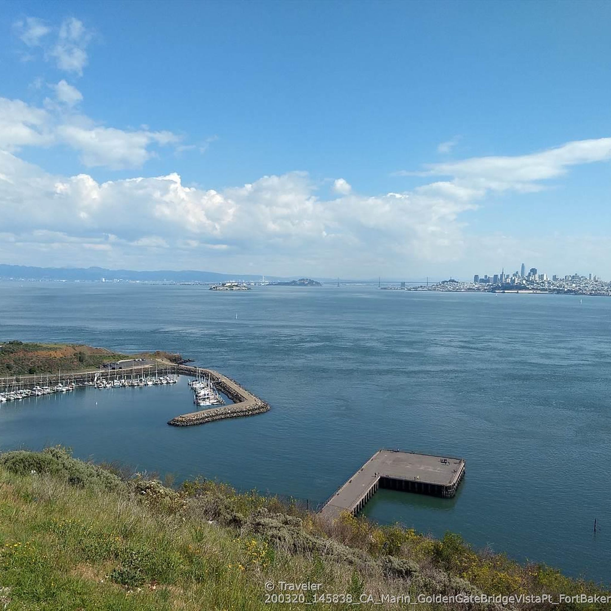
Beautiful, quiet bay. With great surroundings. Not too crowded.
0
0

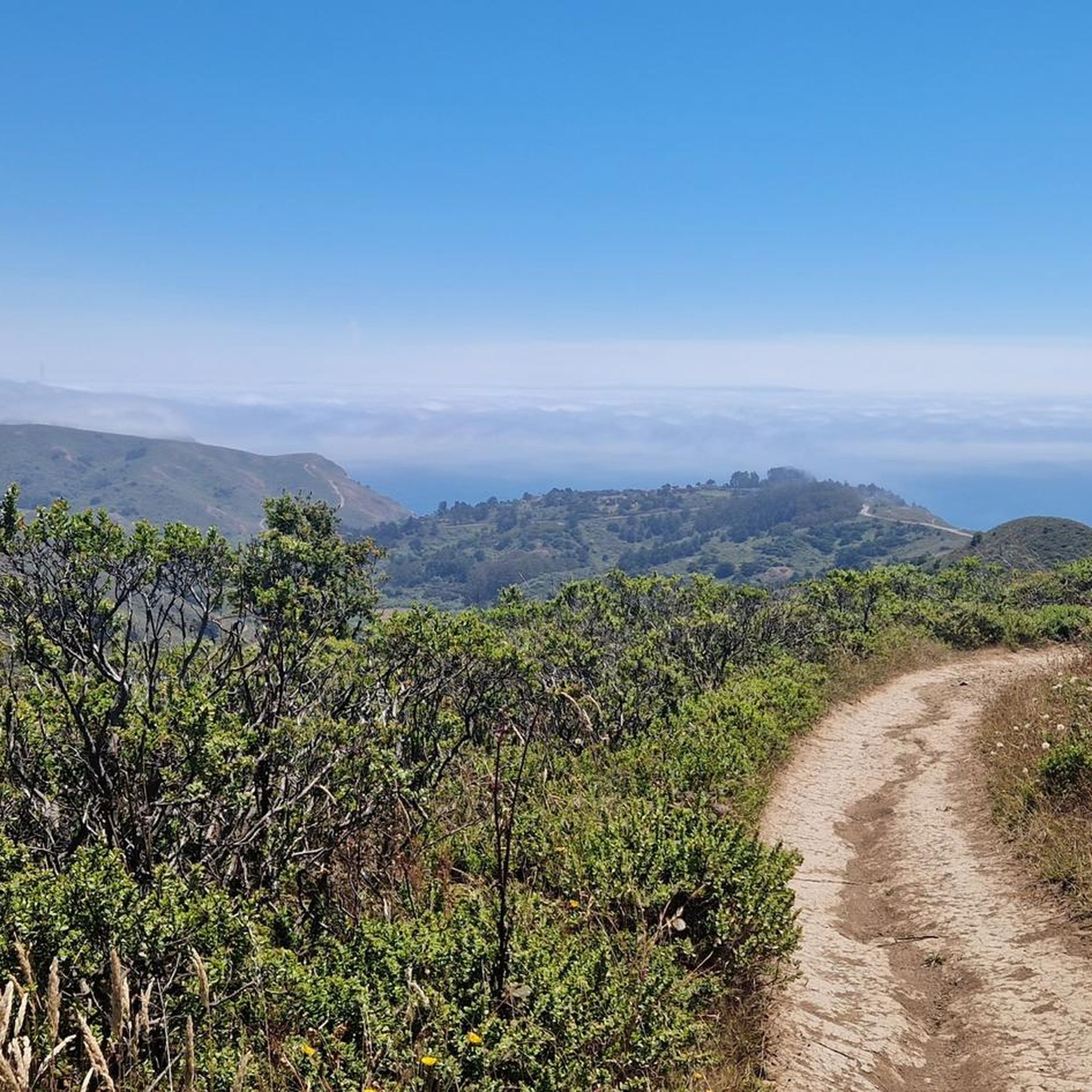
Great viewpoint along Stagecoach Fire Road. There are picnic tables, so this is a great place for a break to enjoy the wonderful views of Mount Tamalpais.
1
0

Pantoll Road is a beautiful, mostly paved route through Mount Tamalpais State Park, connecting the Panoramic Highway to Ridgecrest Boulevard. It winds closely along the curves of the hillside, with some shade from the trees in some spots. There are fantastic views along the way of San Francisco and the Marin Headlands, with incredible viewpoints over the Pacific coastline.
0
0

After looping around West Point the Railroad Grade trail snakes through open and tree-lined sections with fun curves.
0
0
On clear days views open up along the trail across the bay and including the San Francisco skyline
0
0
There are still remnants of old train platforms visible where the Gravity cars used to intersect with the Mt Tam Railroad.
0
0
Uphill from this intersection a portion of the Railroad Grade has been taken over by Fern Canyon Rd after the Mt Tam railroad closed. A short distance uphill on pavement brings you to the end of Fern Cyn. A bit before the end the Railroad Grade gravel forest road splits off again to the right. The Temalpa Trail that joins here is steep with stairs, not open to biking.
0
0
Sweeping views south and east, all the way to SF, and Mt Tam right above behind you to the north. The bench is dedicated to the family who built their house in front of you 60 years ago.
0
0
Frequently Asked Questions
How many mountain bike trails are there in Alto?
Alto offers over 90 mountain bike trails, providing a diverse range of options for riders. These include routes suitable for various skill levels, from easy coastal paths to challenging ascents into the hills.
Are there easy mountain bike trails in Alto for beginners?
Yes, Alto features 13 easy mountain bike trails, perfect for beginners or those looking for a more relaxed ride. These routes often include less technical terrain and gentler elevation changes, allowing riders to enjoy the scenery without excessive challenge.
What about more challenging mountain bike routes for experienced riders?
For experienced mountain bikers, Alto offers 19 difficult routes. These trails feature significant elevation changes and varied terrain, including challenging climbs through areas like the old mine. An example is the Old Mine Trail (lower) 🌲 – Miwok Trail loop from Mill Valley, which covers 27.2 miles with over 1000 meters of ascent.
Are there family-friendly mountain biking options in Alto?
While specific 'family-friendly' designations aren't always explicit, many of Alto's 13 easy trails are suitable for families with older children or those comfortable with basic mountain biking. These routes typically offer smoother surfaces and fewer technical sections, allowing for a more enjoyable group experience.
Can I find mountain bike trails with scenic viewpoints in Alto?
Absolutely. Many trails in Alto feature ascents into the hills, leading to panoramic views. For instance, the Mount Tamalpais & Coastal Trail loop combines coastal vistas with mountain scenery. You can also find dedicated viewpoints like Remillard Park 🌳 and Sunset Trail lookout, which offer stunning perspectives of the region.
Are there any loop mountain bike trails in Alto?
Yes, many mountain bike routes in Alto are designed as loops, allowing you to start and finish at the same point. Popular loop trails include the Hoo-Koo-E-Koo Fire Road Trail – Railroad Grade Fire Road loop from Mill Valley, which is 17.3 miles long, and the Pantoll Road 🌲 loop from Mill Valley.
What kind of terrain can I expect on mountain bike trails in Alto?
Mountain biking in Alto offers a diverse range of terrain. You'll encounter coastal trails, wide fire roads, and ascents into forested hills. The region features a mix of open terrain and wooded sections, often with elevation changes that provide varied riding experiences and panoramic views.
What are some interesting places to see near the mountain bike trails in Alto?
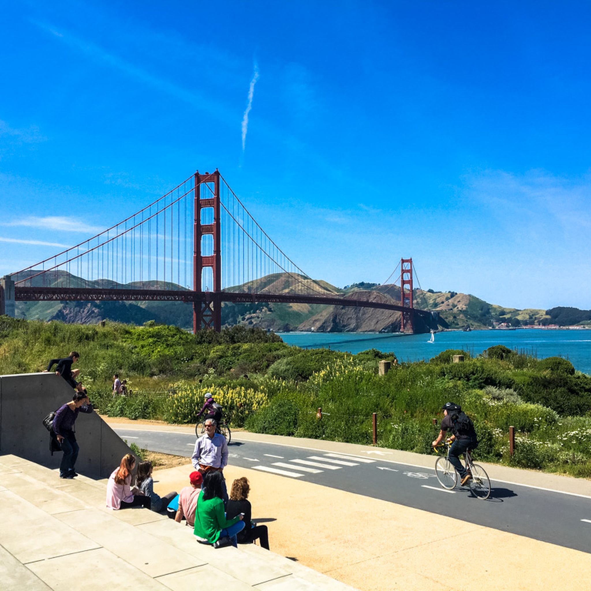
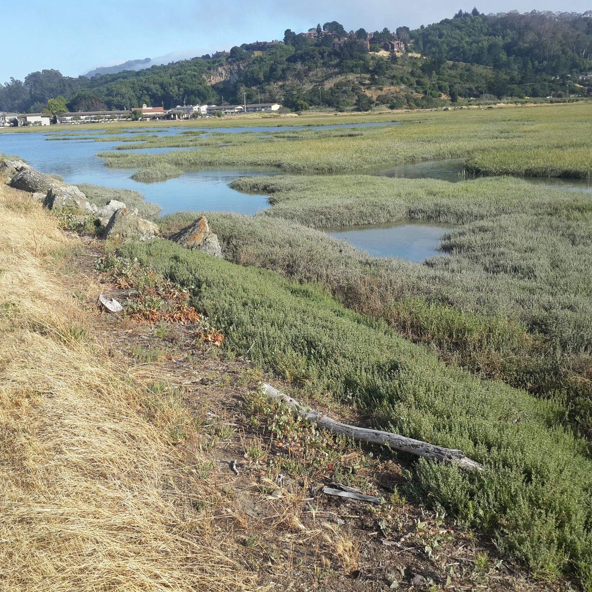
Beyond the trails, Alto is close to several notable attractions. You can visit the iconic Golden Gate Bridge or explore the majestic redwoods at Muir Woods National Monument Entrance. For natural beauty, Phoenix Lake and the Bothin Marsh Preserve are also nearby.
How long do mountain bike trails in Alto typically take to complete?
The duration of mountain bike trails in Alto varies significantly based on distance and difficulty. For example, a moderate 22.0-mile route like the Mount Tamalpais & Coastal Trail loop can take around 3 hours 20 minutes, while a more challenging 27.2-mile trail might take over 4 hours.
Is public transport accessible for reaching mountain bike trails in Alto?
While Alto is well-known for its natural beauty, public transport options directly to all trailheads can be limited. It's advisable to check local bus schedules or consider ride-sharing services that cater to outdoor enthusiasts, especially for routes starting further from urban centers.
Are there mountain bike trails in Alto with parking facilities?
Many trailheads and popular starting points for mountain biking in Alto offer designated parking areas. However, during peak seasons or weekends, these can fill up quickly. It's always recommended to arrive early or research specific parking availability for your chosen route beforehand.
What is the best time of year for mountain biking in Alto?
Alto offers good mountain biking conditions for much of the year. Spring and fall generally provide pleasant temperatures and less crowded trails. Summer can be warm, especially on exposed sections, while winter might bring rain, making some trails muddy. Always check local weather conditions before heading out.
What do other mountain bikers say about the trails in Alto?
The mountain bike trails in Alto are highly regarded by the komoot community, with an average rating of 4.8 stars from over 180 reviews. Riders often praise the diverse landscapes, the challenging ascents leading to rewarding views, and the variety of routes available for different skill levels.
Can I find mountain bike trails with cafes or refreshment stops in Alto?
While many trails in Alto traverse natural, undeveloped areas, some routes may pass near towns or villages where cafes and refreshment stops are available. For longer rides, it's always a good idea to carry sufficient water and snacks, and plan your route to include any desired stops.
Are there any hidden gem mountain bike trails in Alto?
Alto has many trails that are well-loved by locals but might be less known to visitors. Exploring some of the 60 moderate routes, such as the Marincello Trail – Rodeo Valley Trail loop from Mill Valley, can lead you to less crowded paths and unique perspectives of the region's natural beauty.
Most popular attractions around Alto

Get inspired with the komoot mobile app


Explore more
Browse the best MTB trails in other regions.
