The best cycling routes around Rancho Santa Margarita
4.7
(57)
835
riders
75
rides
Touring cycling routes around Rancho Santa Margarita traverse a diverse landscape characterized by rolling hills, scenic canyons, and picturesque oak woodlands. The region, nestled against the foothills of the Santa Ana Mountains, features well-maintained community trails, many of which are paved and bike-friendly. Rancho Santa Margarita Lake, a man-made lake, provides a tranquil centerpiece, while nearby wilderness parks offer more rugged terrain. This varied topography caters to a range of touring cycling experiences.
Best touring cycling routes around Rancho Santa Margarita
- The most popular touring cycling route is Vista Point – O'Neill Regional Park loop from Rancho Santa Margarita, a 23.1 miles (37.1 km) trail that takes 3 hours 19 minutes to complete, leading through extensive oak woodlands.
- Another top favourite among local touring cyclists is Waterworks Flow Trail – Trabuco Creek loop from Rancho Santa Margarita, a moderate 11.0 miles (17.7 km) path offering scenic views of surrounding mountains and canyons.
- Local touring cyclists also love the O'Neill Regional Park – Live Oak Canyon Trail loop from Las Flores, a 15.3 miles (24.7 km) trail leading through varied terrain including oak groves, often completed in about 2 hours 19 minutes.
- Touring cycling around Rancho Santa Margarita is defined by oak woodlands, rolling hills, and scenic canyons. The network offers options for different ability levels, from paved community trails to more challenging routes in wilderness parks.
- The routes in Rancho Santa Margarita are highly rated by the komoot community with an average score of 4.9 stars from over 40 reviews. More than 600 touring cyclists have used komoot to explore Rancho Santa Margarita's varied terrain.
Last updated: August 20, 2026
23
riders
Hard bike ride. Very good fitness required. Mostly paved surfaces. Suitable for all skill levels.
12
riders
17.7km
01:32
190m
190m
Moderate bike ride. Good fitness required. Mostly paved surfaces. Suitable for all skill levels.

Sign up for free
7
riders
24.7km
02:19
360m
360m
Moderate bike ride. Good fitness required. Mostly paved surfaces. Suitable for all skill levels.
4
riders
21.1km
01:21
270m
270m
Moderate bike ride. Good fitness required. Mostly paved surfaces. Suitable for all skill levels.
4
riders
Moderate bike ride. Good fitness required. Mostly paved surfaces. Suitable for all skill levels.
Get access to more routes and recommendations from other explorers.
Sign up for free
Already have an account?
Our route recommendations are based on thousands of hikes, rides, and runs completed by other people on komoot.
Start today with a free account
Your next adventure awaits.
Login or Signup
Tips from the Community

You can explore a variety of singletrack and wide gravel paths through the park. Some trails are shaded while others take you out above the canyon with vistas of Orange County. There are restrooms, picnic tables, and camping available. The park charges a $3 fee.
0
0

The Arroyo Trabuco Trail crosses the Trabuco Creek here (and a good number of times along the route). Depending on the season and conditions, you may well find that bombing through is not an option, so just be prepared for some wet feet.
0
0

Cook’s Corner is a classic stop for cyclists riding through Santiago Canyon and one of the most popular biker hangouts in Southern California. It’s casual and bike-friendly, with shaded picnic tables and plenty of space to park. Grab a burger or a cold drink, rest your legs, and soak in the lively atmosphere—especially on weekends when it’s packed with motorcycles and live music.
0
0

Spot turtles sunbathing and herons fishing along the shore as you walk past the vibrant playground of this peaceful community park in Mission Viejo.
0
0
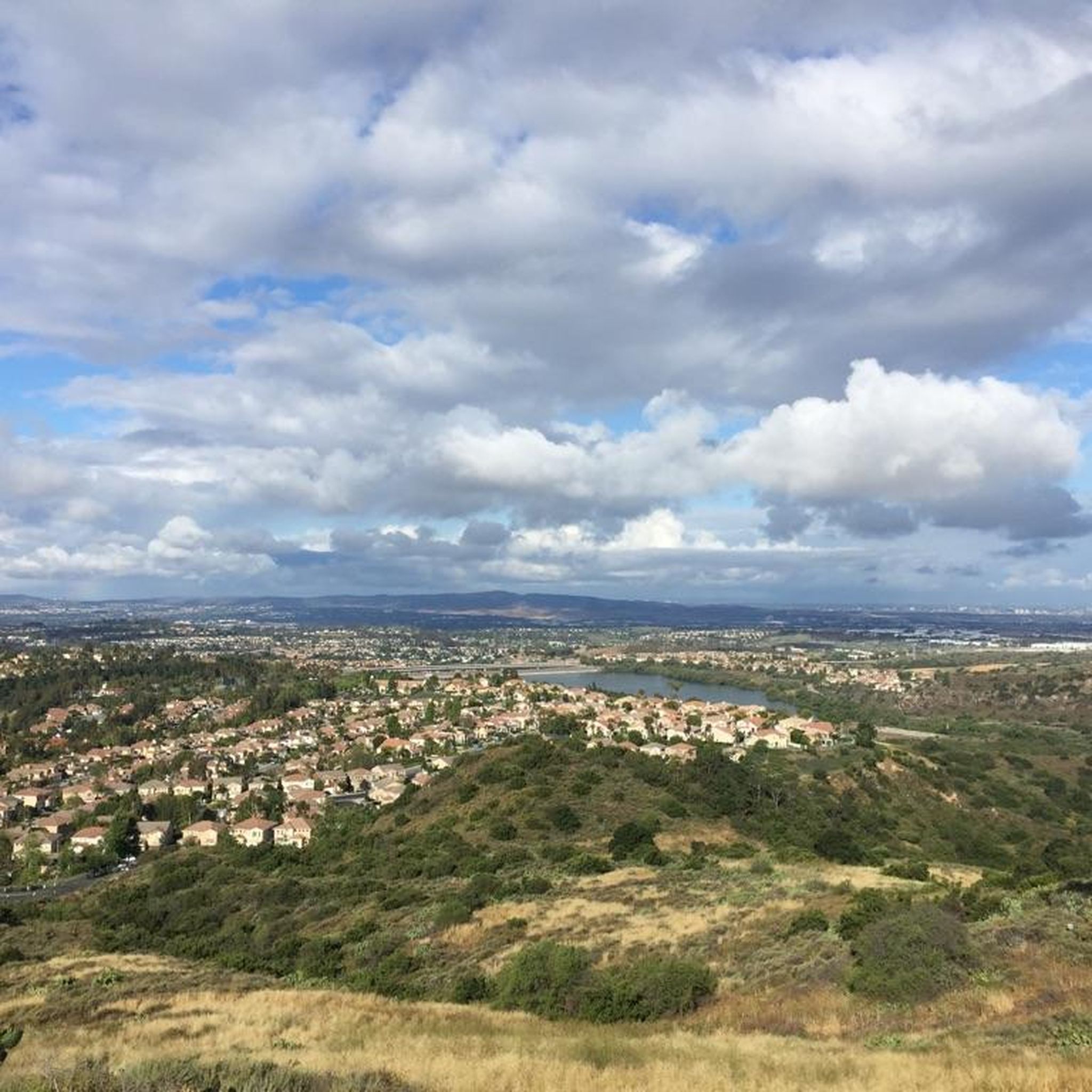
Enjoy spectacular city and mountain views while exploring Lake Mission Viejo's scenic 3-mile paved trail. Spot local wildlife like herons and turtles along the shimmering waters of Lake Mission Viejo.
0
0
Here the trail crosses under the Antonio Pkwy bridge. Much of the trail is doubletrack, though you will find some singletrack segments between the trailhead and Trabuco Creek.
0
0
The Arroyo Trabuco Trail crosses the Trabuco Creek here (and a good number of times along the route). Depending on the season and conditions, you may want to be prepared for some wet feet.
0
0
Aliso Creek Bikeway offers a scenic 19-mile trail in Orange County, California, winding through lush landscapes, parks, and residential areas. Popular for cycling and walking, it provides a serene outdoor experience.
0
0
Frequently Asked Questions
How many touring cycling routes are available in Rancho Santa Margarita?
There are over 75 touring cycling routes around Rancho Santa Margarita, offering a diverse range of experiences. These routes are highly rated by the komoot community, with an average score of 4.9 stars from over 40 reviews.
What is the general difficulty level of touring cycling routes in Rancho Santa Margarita?
The routes in Rancho Santa Margarita cater to various skill levels. You'll find 13 easy routes, 46 moderate routes, and 20 more difficult options, ensuring there's something for everyone from casual riders to experienced cyclists.
Are there any circular touring cycling routes in Rancho Santa Margarita?
Yes, many touring cycling routes in Rancho Santa Margarita are designed as loops. For example, the Vista Point – O'Neill Regional Park loop from Rancho Santa Margarita is a popular option, as is the Waterworks Flow Trail – Trabuco Creek loop from Rancho Santa Margarita.
What kind of terrain can I expect on touring cycling routes around Rancho Santa Margarita?
Rancho Santa Margarita's touring cycling routes feature a diverse landscape, including picturesque oak woodlands, rolling hills, and scenic canyons. Many community trails are paved and bike-friendly, while wilderness parks offer more rugged terrain. You'll encounter scrub-covered hills, sycamore trees, and grassy meadows, providing a varied backdrop for your rides.
What scenic viewpoints or natural features can I expect to see on touring cycling routes?
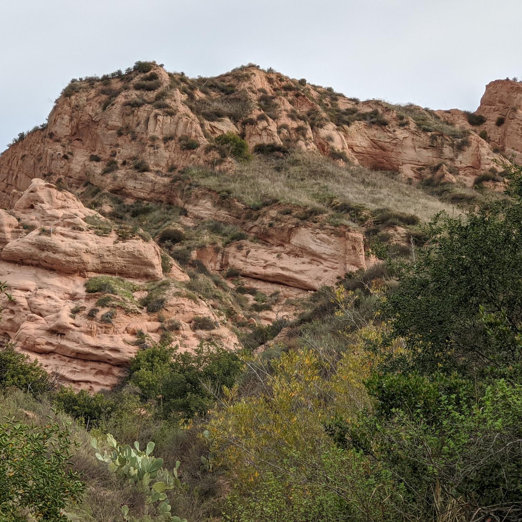
You can enjoy breathtaking views of Saddleback Mountain and, on clear days, even glimpses of the Pacific Ocean from certain trails. Natural features like red sandstone formations are visible in areas such as Whiting Ranch Wilderness Park. The tranquil Rancho Santa Margarita Lake also offers a peaceful ambiance. Consider exploring O'Neill Regional Park for extensive oak woodlands or the Red Rock Trail in Whiting Ranch Wilderness Park for unique geological formations.
Are there any interesting landmarks or places to stop along the touring cycling routes?
Absolutely! A classic and popular stop for cyclists is Cook's Corner, a biker-friendly pub offering a casual atmosphere to rest and refuel. You might also pass through O'Neill Regional Park, which is a significant landmark in itself with extensive trails and facilities.
What do other touring cyclists enjoy most about cycling in Rancho Santa Margarita?
The komoot community highly rates touring cycling in Rancho Santa Margarita, with an average score of 4.9 stars. Cyclists often praise the region's diverse landscape, which offers everything from well-maintained paved community trails to more challenging routes through oak woodlands and scenic canyons. The variety ensures enjoyable rides for all preferences.
Are there family-friendly touring cycling routes in Rancho Santa Margarita?
Yes, Rancho Santa Margarita offers several family-friendly options. Many of the community trails, such as the Urban Trail East & West, are paved and suitable for bikes and strollers. The path around Rancho Santa Margarita Lake is also a pleasant, flat option for a short, relaxing ride with the family.
What is the best time of year to go touring cycling in Rancho Santa Margarita?
The region is generally pleasant for cycling year-round, but spring and fall offer ideal conditions with milder temperatures. Summer can be popular, with many users cycling in June and July, but be prepared for warmer weather. Always check local forecasts before heading out.
Are there places to eat or refuel along the touring cycling routes?
Yes, a notable spot for cyclists to refuel is Cook's Corner, a popular biker-friendly pub located near Santiago Canyon. It offers a casual atmosphere with shaded picnic tables, making it a great place to take a break during your ride.
Is parking available near the touring cycling routes in Rancho Santa Margarita?
Parking is generally available at various access points for trails and parks throughout Rancho Santa Margarita. For example, O'Neill Regional Park and Whiting Ranch Wilderness Park have designated parking areas for visitors accessing their trail networks.
Can I reach the touring cycling routes in Rancho Santa Margarita by public transport?
While Rancho Santa Margarita has some public transport options, direct access to all trailheads by public transport might be limited. It's advisable to check local bus routes and schedules for specific starting points, as many cyclists typically drive to the trail access points.
Are there any routes that offer significant elevation gain for a challenge?
For those seeking a challenge, Rancho Santa Margarita does offer routes with considerable elevation gains. Areas like Portola Hills are known for more demanding climbs. The Vista Point – O'Neill Regional Park loop from Rancho Santa Margarita, for instance, features over 500 meters of elevation gain, making it a difficult-rated route.
Most popular routes around Rancho Santa Margarita
Most popular attractions around Rancho Santa Margarita

Get inspired with the komoot mobile app


Explore more
Browse the best Cycling routes in other regions.
