The best MTB trails around Rancho Santa Margarita
4.2
(72)
1,069
riders
14
rides
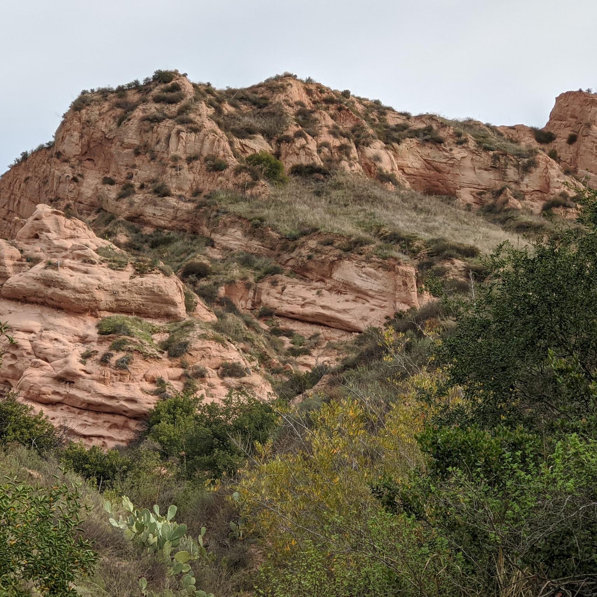
Mountain biking around Rancho Santa Margarita offers diverse natural landscapes and extensive trail systems. The region features rolling hills, oak woodlands, and scenic canyons, providing varied terrain for mountain bikers. Significant wilderness areas like Cleveland National Forest and O'Neill Regional Park contribute to the area's outdoor appeal. Riders can explore everything from scrub-covered hills to unique red sandstone formations within parks like Whiting Ranch Wilderness Park.
Best mountain bike trails around Rancho Santa Margarita
- The most popular mountain bike trail…
Last updated: August 20, 2026
4.0
(1)
33
riders
32.7km
02:47
330m
330m
Moderate mountain bike ride. Good fitness required. Suitable for all skill levels.
5.0
(2)
25
riders
Moderate mountain bike ride. Good fitness required. Suitable for all skill levels.

Sign up for free
4.0
(1)
39
riders
30.9km
02:23
360m
370m
Moderate mountain bike ride. Good fitness required. Suitable for all skill levels.
5.0
(1)
15
riders
14.2km
01:15
170m
170m
Easy mountain bike ride. Great for any fitness level. Suitable for all skill levels.
14
riders
69.6km
06:05
1,040m
1,040m
Hard mountain bike ride. Very good fitness required. Suitable for all skill levels.
Get access to more routes and recommendations from other explorers.
Sign up for free
Already have an account?
Our route recommendations are based on thousands of hikes, rides, and runs completed by other people on komoot.
Start today with a free account
Your next adventure awaits.
Login or Signup
Tips from the Community

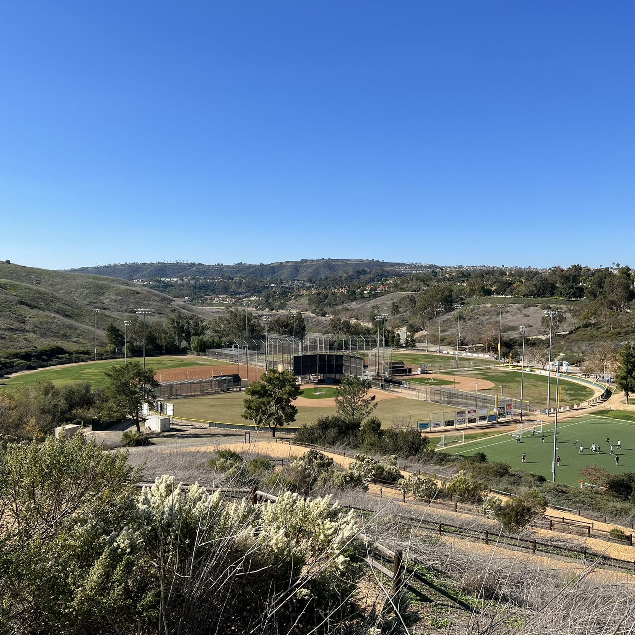
You can explore a variety of singletrack and wide gravel paths through the park. Some trails are shaded while others take you out above the canyon with vistas of Orange County. There are restrooms, picnic tables, and camping available. The park charges a $3 fee.
0
0

The Arroyo Trabuco Trail crosses the Trabuco Creek here (and a good number of times along the route). Depending on the season and conditions, you may well find that bombing through is not an option, so just be prepared for some wet feet.
0
0
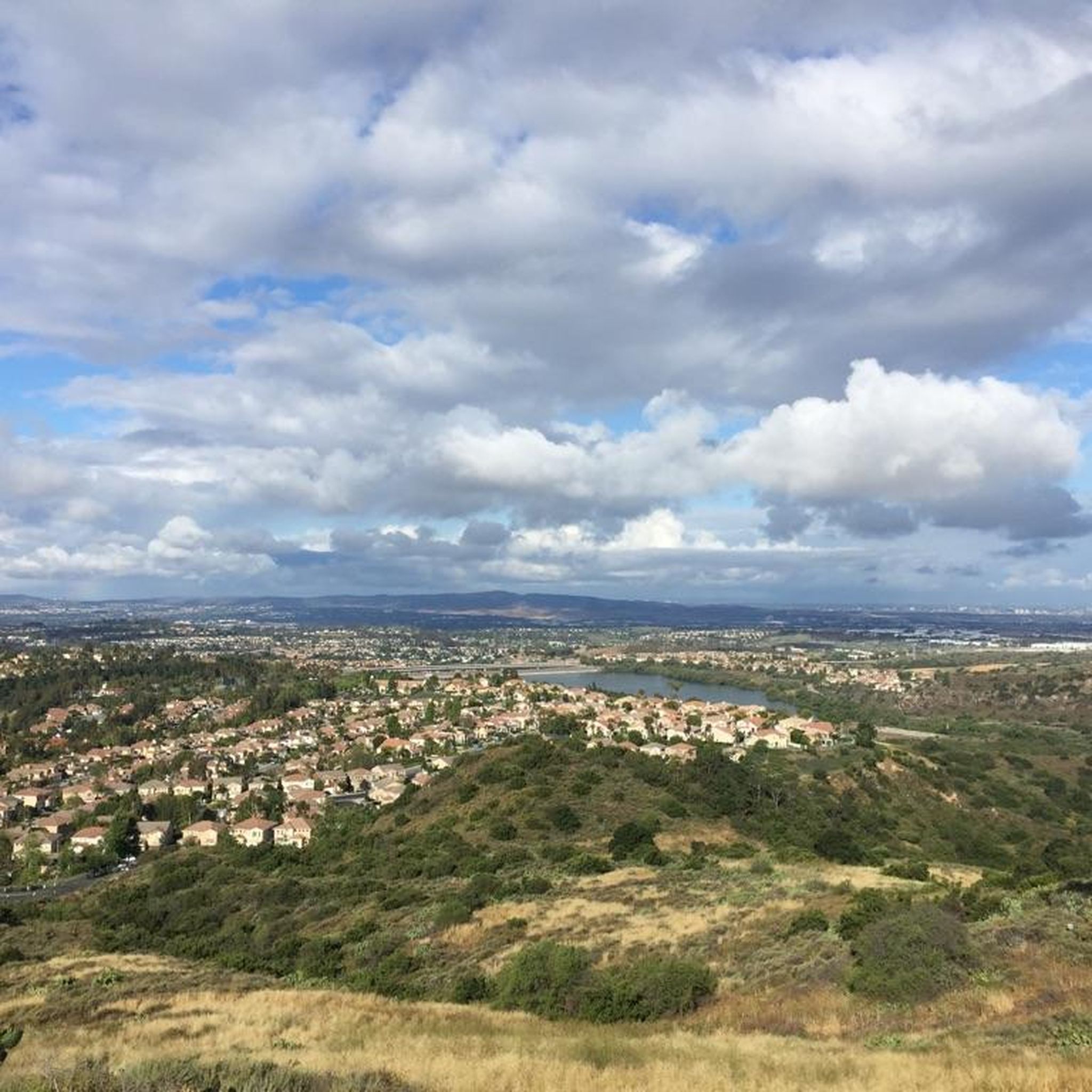
There is a picnic area here with sweeping views south toward the Pacific. There are a number of good popular local connecting trails to explore. The trails to the north lead up by neighborhoods, while the Bell View Trail south of here lends a greater feeling of being out in nature as it descends the ridge.
0
0
You get great views of town from the ridgeline, and the trail is renowned for its wildflowers. You can follow the trail all the way south to Rancho Mission Viejo. The terrain is packed ground and is rocky in places.
0
0
Here the trail crosses under the Antonio Pkwy bridge. Much of the trail is doubletrack, though you will find some singletrack segments between the trailhead and Trabuco Creek.
0
0
The Arroyo Trabuco Trail crosses the Trabuco Creek here (and a good number of times along the route). Depending on the season and conditions, you may want to be prepared for some wet feet.
0
0
You can explore a variety of singletrack and wide gravel paths through the park. Some trails are shaded while others take you out above the canyon with vistas of Orange County. There are restrooms, picnic tables, and camping available. The park charges a $3 fee.
0
0
The Arroyo Trabuco Trail crosses the Trabuco Creek here (and a good number of times along the route). Depending on the season and conditions, you may well find that bombing through is not an option, so just be prepared for some wet feet.
1
0
Frequently Asked Questions
How many mountain bike trails are available around Rancho Santa Margarita?
Rancho Santa Margarita offers a wide selection of mountain bike trails, with over 70 routes available. These trails cater to various skill levels, from easy paths to challenging climbs.
What kind of natural landscapes can I expect to see while mountain biking in Rancho Santa Margarita?
The region is characterized by diverse natural landscapes, including beautiful oak woodlands, rolling hills, and scenic canyons. You'll find trails winding through scrub-covered hills, shaded oak groves, and even unique red sandstone formations in areas like Whiting Ranch Wilderness Park.
Are there mountain bike trails suitable for beginners in Rancho Santa Margarita?
Yes, there are plenty of options for beginners. The area features 28 easy mountain bike routes. A good example is the Wagon Wheel Canyon and Oak Canyon Trail, which is a shorter, easier ride through pleasant canyon and oak woodlands.
Where can I find challenging mountain bike routes in the area?
For experienced riders seeking a challenge, Rancho Santa Margarita offers 9 difficult mountain bike routes. Notable challenging trails include the Santiago and Modjeska Peaks via Harding-Santiago Truck Trail Loop, which is a long route with significant elevation gain, and the Los Pinos Peak and Bell Ridge Loop, known for its challenging terrain and expansive views.
Are there any trails with panoramic views in Rancho Santa Margarita?
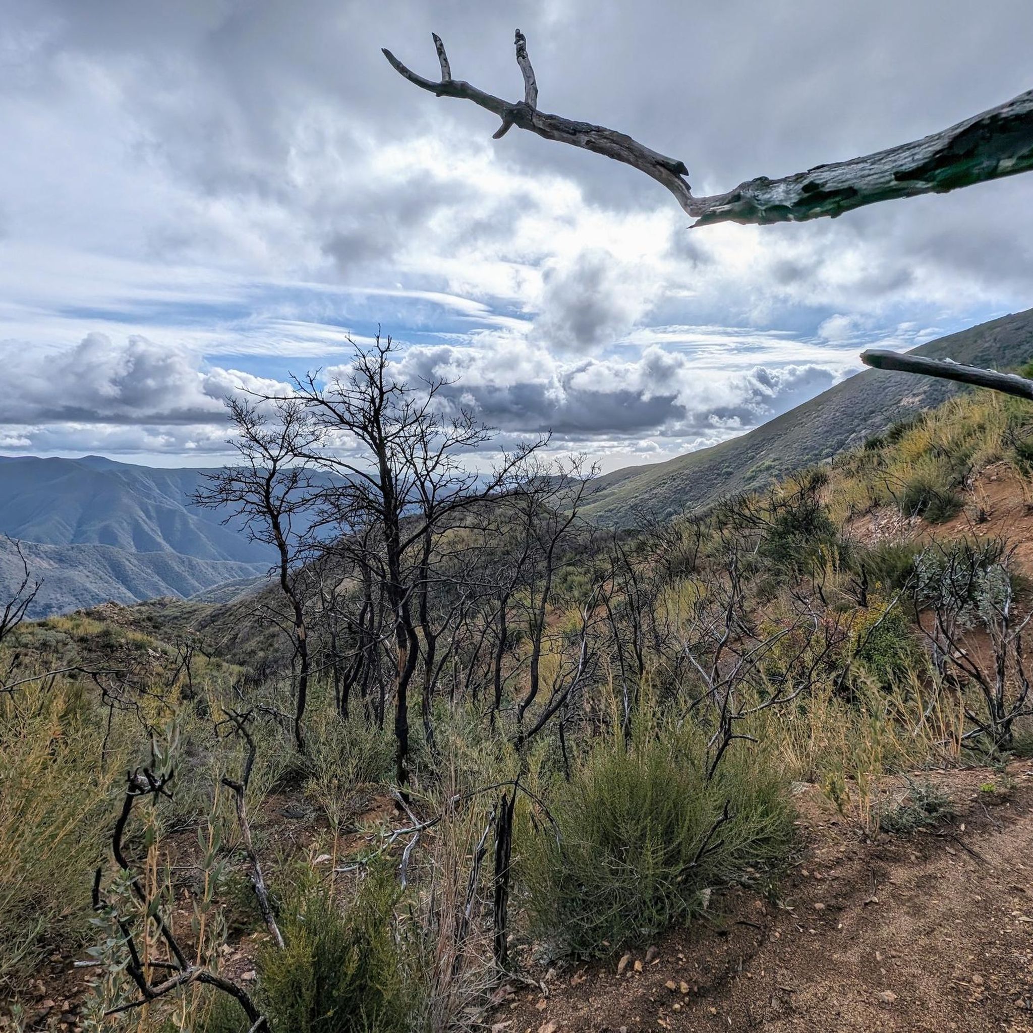
Absolutely. Many trails offer stunning vistas. The Los Pinos Peak and Bell Ridge Loop provides expansive views across the landscape. Additionally, the Bell View Trail, accessible via routes like Bell Peak via West Ridge Trail and Bell View Trail, is renowned for panoramic views of Orange County, Saddleback Mountain, and even the Pacific Ocean on clear days.
Can I find trails that feature waterfalls?
Yes, the region has natural attractions including waterfalls. You can explore areas near Chiquito Falls and Holy Jim Falls, which are beautiful natural features to discover while mountain biking in the vicinity.
Are there any good loop trails for mountain biking?
Yes, many of the mountain bike trails in Rancho Santa Margarita are designed as loops, offering varied scenery without retracing your steps. The Los Pinos Peak and Bell Ridge Loop and the Santiago and Modjeska Peaks via Harding-Santiago Truck Trail Loop are excellent examples of challenging loop routes.
What are some options for longer mountain bike rides?
For longer rides, consider the Santiago and Modjeska Peaks via Harding-Santiago Truck Trail Loop, which spans 35.8 miles. Another substantial option is the Los Pinos Peak and Bell Ridge Loop, covering 19.5 miles with significant elevation changes.
Is parking available at the trailheads?
Many of the parks and trail systems in the Rancho Santa Margarita area, such as O'Neill Regional Park and Whiting Ranch Wilderness Park, offer designated parking areas for trail access. It's advisable to check specific park websites for detailed parking information and any potential fees.
Are permits required for mountain biking in Rancho Santa Margarita?
While many trails are freely accessible, some wilderness parks or specific routes might require permits or have entrance fees. For instance, areas within Cleveland National Forest or certain regional parks may have specific regulations. Always check with the relevant park authority before heading out.
Are there places to stop for refreshments or a break near the trails?
Yes, the area offers spots for a break. A classic and popular hangout for cyclists riding through Santiago Canyon is Cook's Corner, providing a friendly and casual atmosphere for refreshments.
What do other mountain bikers enjoy about the trails in Rancho Santa Margarita?
The area is highly rated by the komoot community, with an average score of 4.4 stars from over 70 reviews. Riders often praise the diverse terrain, from oak woodlands to canyons, and the variety of options available for different skill levels. The scenic views and well-maintained trail networks are also frequently highlighted.
Most popular routes around Rancho Santa Margarita
Most popular attractions around Rancho Santa Margarita

Get inspired with the komoot mobile app


Explore more
Browse the best MTB trails in other regions.
