The best cycling routes around Diamond Bar
4.8
(6)
360
riders
38
rides
Touring cycling routes around Diamond Bar traverse a landscape characterized by rolling hills, urban parklands, and accessible river trails. The region features a mix of paved paths and some routes with notable elevation changes, such as those found near canyons and local bumps. These routes often connect various parks and natural areas, providing diverse scenery for cyclists.
Best touring cycling routes around Diamond Bar
- The most popular touring cycling route is Andersen Bump – Four Corners loop from Parking F, a 13.6 miles (21.9 km) trail that takes about 2 hours 13 minutes to complete, offering a moderate challenge with varied terrain.
- Another top favourite among local touring cyclists is Santa Ana River Trail Bridge – Santa Ana River Trail Bikeway loop from Carbon Canyon Regional Park, a moderate 37.6 miles (60.5 km) path that follows a scenic river corridor.
- Local touring cyclists also love the Four Corners – View of Yorba Linda loop from Carbon Canyon Regional Park, a 28.1 miles (45.3 km) trail leading through park landscapes with views towards Yorba Linda, often completed in about 3 hours 51 minutes.
- Touring cycling around Diamond Bar is defined by canyon trails, river paths, and park landscapes. The network offers options for easy rides as well as more advanced touring bike trails Diamond Bar.
- The routes in Diamond Bar are highly rated by the komoot community with an average score of 4.88 stars from over 8 reviews. More than 400 touring cyclists have used komoot to explore Diamond Bar's varied terrain.
Last updated: May 21, 2026
5.0
(1)
16
riders
Easy bike ride. Great for any fitness level. Mostly paved surfaces. Suitable for all skill levels.
4.0
(1)
14
riders
45.5km
03:52
590m
590m
Hard bike ride. Very good fitness required. Mostly paved surfaces. Suitable for all skill levels.

Sign up for free
26
riders
14.4km
01:23
250m
250m
Moderate bike ride. Good fitness required. Mostly paved surfaces. Suitable for all skill levels.
25
riders
49.2km
04:48
950m
950m
Hard bike ride. Very good fitness required. Mostly paved surfaces. Suitable for all skill levels.
6
riders
44.7km
02:59
680m
680m
Hard bike ride. Very good fitness required. Mostly paved surfaces. Suitable for all skill levels.
Get access to more routes and recommendations from other explorers.
Sign up for free
Already have an account?
Our route recommendations are based on thousands of hikes, rides, and runs completed by other people on komoot.
Start today with a free account
Your next adventure awaits.
Login or Signup

Tips from the Community

This is the intersection of five trails: Raptor Ridge Trail, North Ridge Trail, Bovinian Delight Trail or Telegraph Canyon Road. There are also some boards with information about the trails and a restroom.
0
0

You can cycle across the top of the dam, which was constructed in 1928 to help control flooding in the region. It stands at 147 feet high, and today supports a myriad of outdoor recreation activities on the reservoir.
0
0

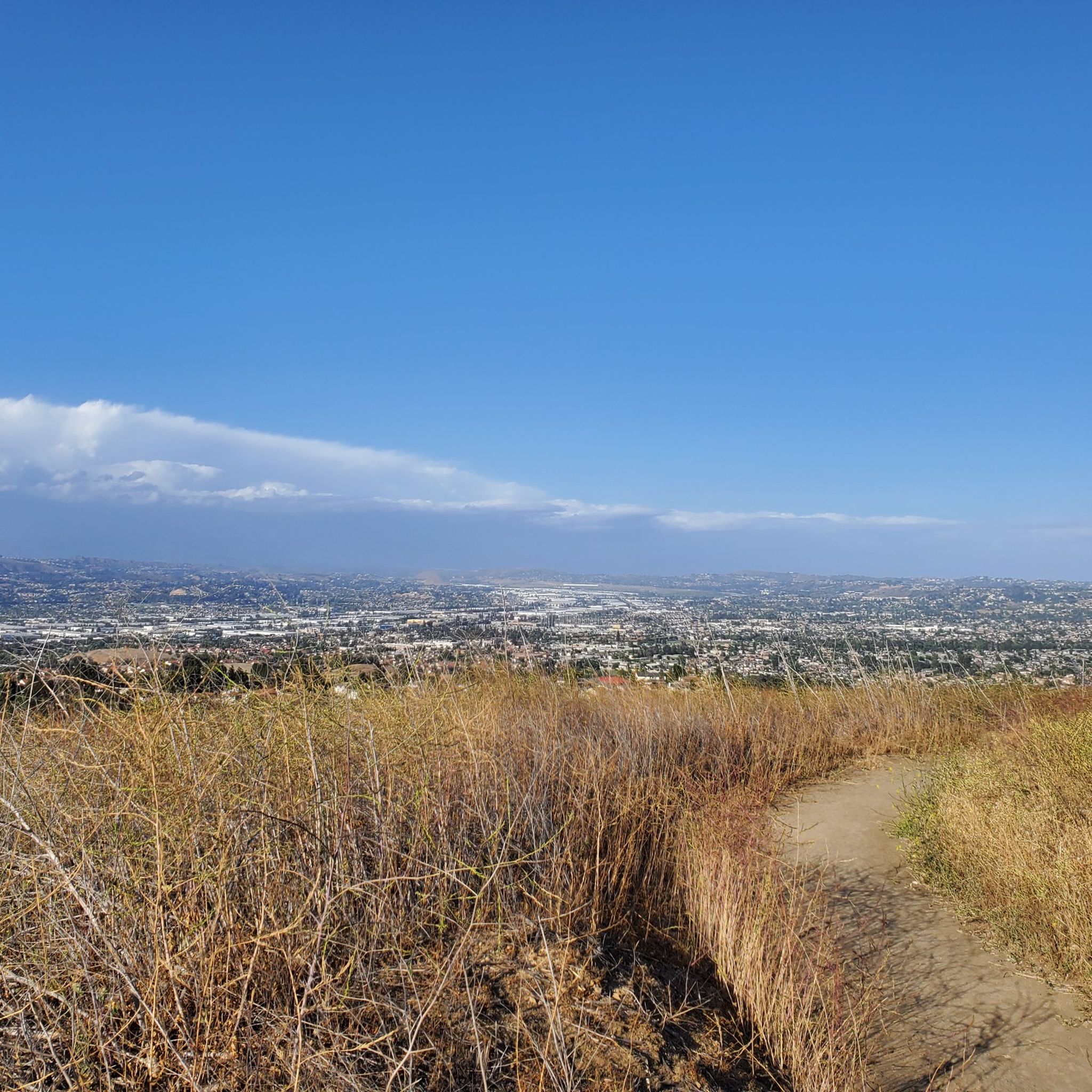
Ride through Turnbull Canyon and be rewarded with stunning views of Los Angeles County and surround yourself with a mix of natural beauty and historical intrigue. The road climbs with an average gradient of 5.2%, gaining 775 feet in elevation and peaking at 1,161 feet. Be cautious of fast-driving vehicles on the winding roads.
1
0
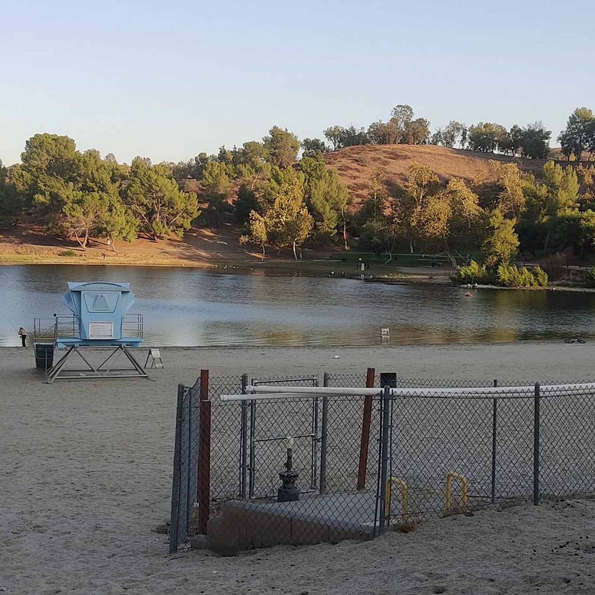
Great view of the Puddingstone Reservoir, a 250-acre man-made body of water. There is a road that runs along the perimeter of the reservoir and there is a spot to pull off the road to get a close up view of the water.
0
0

be cautious, lots of young fast and furious wannabe racers out on the canyon at all hours of the day. listen to your surroundings. be safe
0
0

As you bike near Turnbull Debris Basin, observe its crucial function in storing runoff and sediment, acting as a safeguard against downstream flooding and sedimentation, and protecting human life and property. Positioned along the canyon road en route to the Turnbull Canyon Trailhead, it plays a vital role in mitigating flood risks downstream, ensuring community safety.
0
0
As you hike near Turnbull Debris Basin, observe its crucial function in storing runoff and sediment, acting as a safeguard against downstream flooding and sedimentation, and protecting human life and property. Positioned along the canyon road en route to the Turnbull Canyon Trailhead, it plays a vital role in mitigating flood risks downstream, ensuring community safety.
0
0
Hear a plane coming in for a landing? You're experiencing air traffic from Brackett Field Airport. This airport is over 100 years old; it was established in 1911 and is one of the oldest operating airports in the Los Angeles area. There are only two runways here, and this small airport is a hub for flight training schools, charter services, and recreational flying.
0
1
Frequently Asked Questions
How many touring cycling routes are available in Diamond Bar?
Diamond Bar offers a diverse selection of over 40 touring cycling routes. These routes traverse a landscape of rolling hills, urban parklands, and river trails, providing varied scenery for cyclists.
Are there touring cycling routes suitable for beginners in Diamond Bar?
Yes, there are 8 easy touring cycling routes in the Diamond Bar area. A great option for beginners is the Parking Area for Biking loop from Brea Olinda High School, which is 8 miles (12.9 km) long with minimal elevation gain, making it a comfortable ride.
What kind of terrain can I expect on touring cycling routes around Diamond Bar?
The terrain around Diamond Bar is quite varied. You'll find a mix of paved paths, especially along river corridors and through urban parks, as well as routes with notable elevation changes in areas near canyons and local bumps. This diversity offers options from gentle rides to more challenging climbs.
Are there any long-distance touring cycling routes in the Diamond Bar area?
For those seeking longer rides, Diamond Bar offers several options. The Santa Ana River Trail Bridge – Santa Ana River Trail Bikeway loop from Carbon Canyon Regional Park is a moderate 37.6 miles (60.5 km) path that follows a scenic river corridor, perfect for a longer outing.
What are some challenging touring cycling routes for experienced riders?
Experienced touring cyclists looking for a challenge will find 18 difficult routes in the area. The Four Corners – View of Yorba Linda loop from Carbon Canyon Regional Park is a demanding 28.1 miles (45.3 km) trail with significant elevation changes, offering rewarding views towards Yorba Linda.
Are there any circular touring cycling routes in Diamond Bar?
Many of the touring cycling routes in Diamond Bar are designed as loops, allowing you to start and end at the same point. For example, the popular Andersen Bump – Four Corners loop from Parking F is a 13.6 miles (21.9 km) circular route offering varied terrain.
What natural attractions can I see along the touring cycling routes?
While cycling, you can explore several natural attractions. Highlights include the Cherry Blossoms in Peter F. Schabarum Regional Park, the unique Twisted Tree in Carbon Canyon Regional Park, and the serene Redwood Grove. You might also pass by Andersen Bump, a notable summit.
Are there any specific landmarks or points of interest along the routes?
Yes, several routes pass by interesting landmarks. You can cycle past Four Corners, a well-known local spot, or explore trails like Telegraph Canyon Trail and Bud Turner Trail. Many routes also connect to Carbon Canyon Regional Park, a significant local facility.
What do other touring cyclists say about the routes in Diamond Bar?
The touring cycling routes in Diamond Bar are highly rated by the komoot community, with an average score of 4.88 stars from over 8 reviews. Cyclists often praise the diverse scenery, from river paths to park landscapes, and the variety of options available for different skill levels.
Is there a route that offers a good mix of challenge and scenic views?
Absolutely. The Turnbull Debris Basin – Turnbull Canyon loop from Rowland Heights Park is a difficult 27.8 miles (44.7 km) route that provides both a significant physical challenge with over 670 meters of elevation gain and stunning panoramic views as you traverse the Turnbull Canyon area.
What is the best season for touring cycling in Diamond Bar?
Diamond Bar generally offers pleasant cycling conditions for much of the year. Spring and fall provide mild temperatures, ideal for longer rides. Winters are typically mild, making cycling possible, though some routes might be cooler. Summers can be hot, so early morning or late afternoon rides are recommended during peak heat.
Most popular attractions around Diamond Bar

Get inspired with the komoot mobile app


Explore more
Browse the best Cycling routes in other regions.
