The best road cycling routes around Diamond Bar
4.1
(14)
849
riders
70
rides
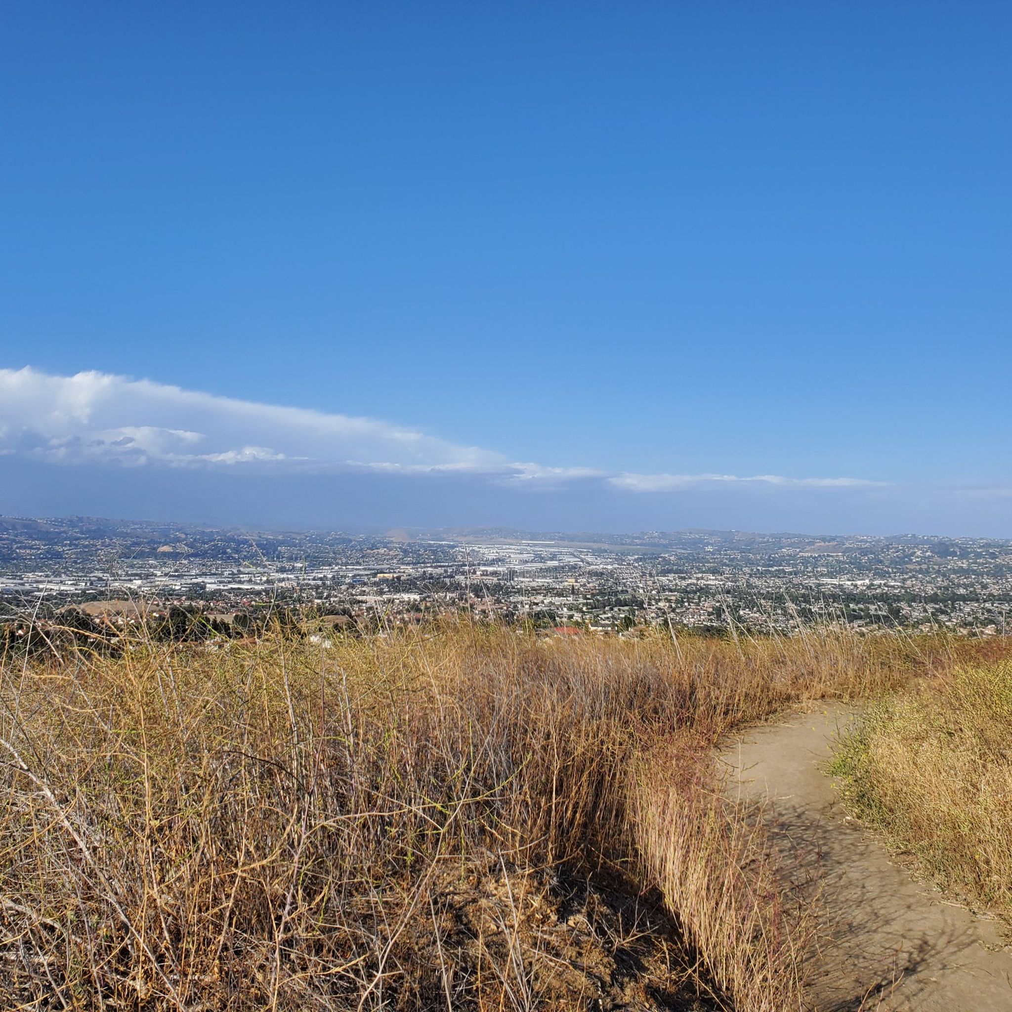
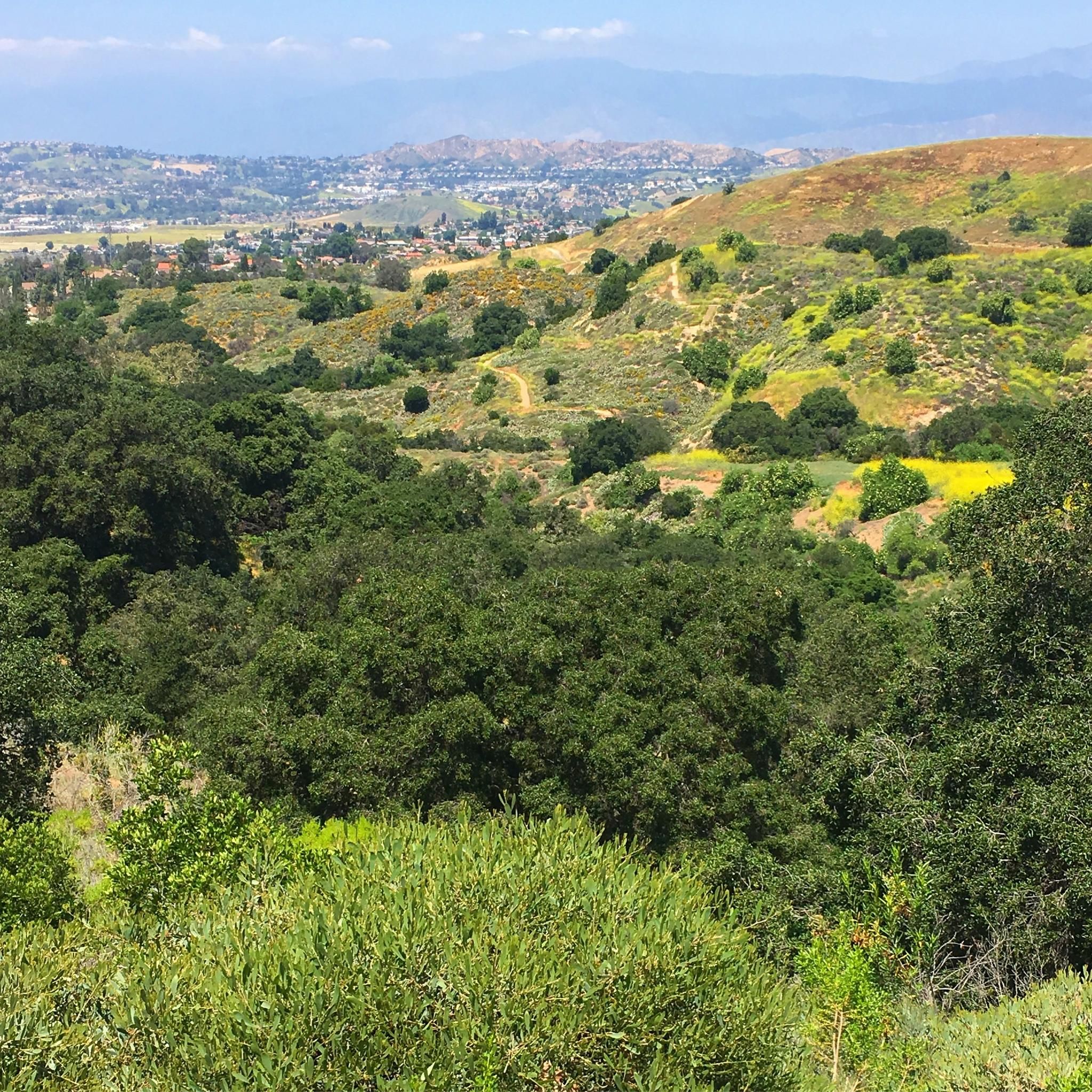
Road cycling routes around Diamond Bar traverse a landscape characterized by rolling hills and diverse terrain. The city's location provides varied elevation changes, offering both moderate and challenging climbs. Extensive trail networks connect various natural features, making it suitable for different levels of road cycling activity.
Best road cycling routes around Diamond Bar
- The most popular road cycling route is Carbon Canyon Regional Park loop from Diamond Bar, a 26.1 miles (42.0 km) moderate trail that takes 2 hours…
Last updated: May 18, 2026
69.5km
03:18
890m
890m
Moderate road ride. Good fitness required. Mostly well-paved surfaces and easy to ride.
5.0
(1)
47
riders
42.0km
02:01
540m
540m
Moderate road ride. Good fitness required. Some segments of this route may be unpaved and difficult to ride.

Sign up for free
3.0
(1)
6
riders
25.1km
01:24
500m
500m
Moderate road ride. Good fitness required. Mostly well-paved surfaces and easy to ride.
9
riders
38.6km
01:48
500m
500m
Moderate road ride. Good fitness required. Mostly well-paved surfaces and easy to ride.
5
riders
102km
04:41
580m
580m
Moderate road ride. Good fitness required. Mostly well-paved surfaces and easy to ride.
Get access to more routes and recommendations from other explorers.
Sign up for free
Already have an account?
Our route recommendations are based on thousands of hikes, rides, and runs completed by other people on komoot.
Start today with a free account
Your next adventure awaits.
Login or Signup

Tips from the Community

The climb from imperial to cannon is no joke but it’s a short walk to the top so bring flipflops😀.
0
0

Angel Stadium of Anaheim is the home of the Los Angeles Angels of Anaheim. The Santa Ana River Trail passes right by the stadium, so you get a great view. As you can imagine, it can get pretty busy on the trail on a game day.
1
0

Bike along the Santa Ana River Trail for a fantastic view of Angel Stadium’s iconic “Big A” sign, a 230-foot-tall landmark that originally served as the stadium's scoreboard. The halo atop the sign lights up after every Angels victory, glowing even brighter for home wins. Be sure to avoid the surrounding streets on game days, as the area can get crowded.
1
0

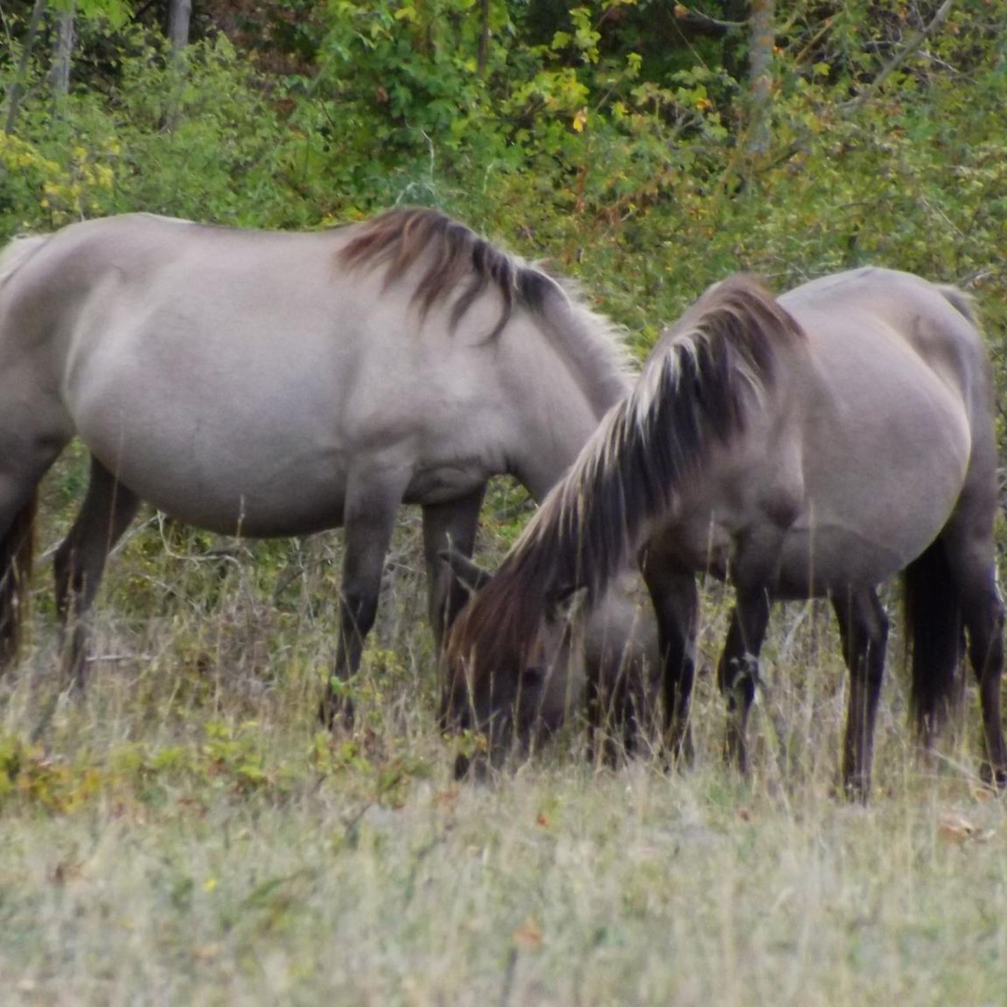
Nice and easy paved trail that has a surprising amount of wildlife around. It can get busy so be ready to share space with other trail users.
0
0

The Mt. San Antonio College Wildlife Sanctuary is a 10-acre protected haven that proudly preserves the natural beauty of the trees, shrubs, and flowers that once thrived in the area. With a mission to provide a safe migratory refuge and breeding ground for birds and other animals, it boasts a natural stream and a pond that are home and visitation spots for many bird species. The Sanctuary is also home to a 25-seat amphitheater on the southern tip, offering a perfect setting for Biology classes and lectures for visiting groups.
0
0

Baseball fans will enjoy getting to ride by the outer gates of Angels Stadium. Ohtani might have moved down the road, but Trout is here to stay!
0
0

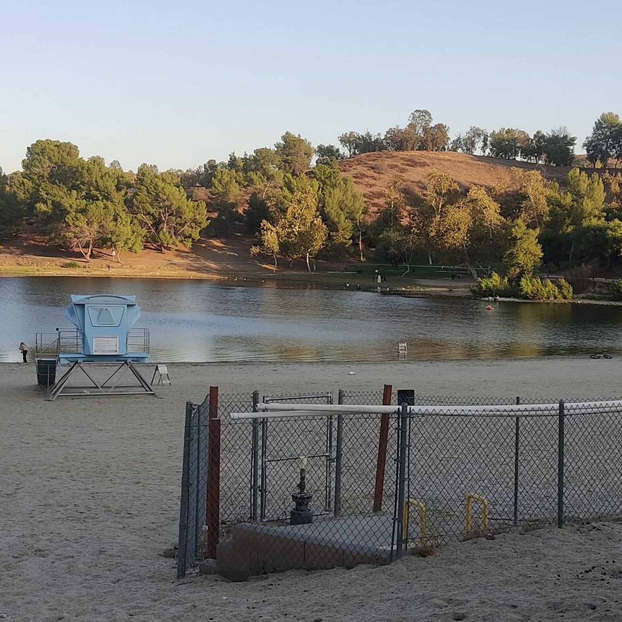
Carbon Canyon Regional Park is a great local park with a small lake and some nature trails featuring redwoods and the Carbon Canyon Creek. It connects to Chino Hills State Park.
0
0
Carbon Canyon Regional Park is a great local park with a small lake and some nature trails featuring redwoods and the Carbon Canyon Creek. It connects to Chino Hills State Park.
0
0
Frequently Asked Questions
What kind of terrain can I expect when road cycling around Diamond Bar?
Road cycling around Diamond Bar is characterized by its rolling hills and diverse terrain. You'll encounter varied elevation changes, offering both moderate and challenging climbs, as well as rewarding descents. The region's natural landscape, including areas like Turnbull Canyon, contributes to significant elevation gains, making it suitable for cyclists looking for a good workout.
How many road cycling routes are available in the Diamond Bar area?
There are over 60 road cycling routes available around Diamond Bar on komoot, catering to various skill levels. This includes a mix of easy, moderate, and difficult trails, ensuring there's something for every road cyclist.
Are there any challenging road cycling routes for experienced riders?
Yes, Diamond Bar offers several challenging routes. For instance, the Turnbull Debris Basin – Turnbull Canyon loop from Diamond Bar is a difficult 39.0-mile ride with a substantial elevation gain of 3,270 feet (997 m), known for its demanding climbs and panoramic views of Los Angeles County.
What are some scenic viewpoints or natural features I can see while cycling?
The Diamond Bar area is rich with scenic spots. You can enjoy views of redwood groves on routes near Carbon Canyon Regional Park, or panoramic vistas of Los Angeles County from Turnbull Canyon. Other notable natural features include Sycamore Canyon Park with its riparian habitat, and Summitridge Park which offers breathtaking views from its 1,152-foot summit. You can also find highlights like Carbon Canyon Regional Park itself, which features a small lake and nature trails.
Are there any family-friendly road cycling options in Diamond Bar?
While many road cycling routes in Diamond Bar feature significant elevation changes, the city also boasts over 20 miles of paved trails ideal for more casual rides. These city trails can be a good option for families looking for a less strenuous cycling experience away from the main road cycling routes.
What do other road cyclists enjoy most about the routes in Diamond Bar?
The road cycling routes in Diamond Bar are highly rated by the komoot community, with an average score of 3.6 stars from 7 reviews. Cyclists often praise the varied terrain, the challenging climbs, and the scenic beauty of the regional parks and canyons. The network offers diverse experiences for different ability levels.
Are there any loop routes for road cycling in Diamond Bar?
Yes, many road cycling routes in Diamond Bar are designed as loops, allowing you to start and end at the same point. Popular examples include the Carbon Canyon Regional Park loop from Diamond Bar and the Roadbike loop from Diamond Bar High School, both offering comprehensive tours of the area's landscapes.
What is the best time of year to go road cycling in Diamond Bar?
Diamond Bar generally offers favorable conditions for road cycling for much of the year. The mild Southern California climate means that spring and fall often provide the most comfortable temperatures. Summers can be hot, especially during midday, while winters are typically mild but may bring occasional rain.
Where can I find parking for road cycling trails in Diamond Bar?
Many regional parks and trailheads in and around Diamond Bar offer parking facilities. For example, Carbon Canyon Regional Park, Sycamore Canyon Park, and Summitridge Park are known locations with access points that may include parking. It's advisable to check specific park websites for detailed parking information and any potential fees.
Are there any cafes or places to stop for refreshments near the cycling routes?
While specific cafes directly on every route may vary, Diamond Bar and its surrounding communities offer various establishments where cyclists can stop for refreshments. You'll find cafes and eateries in the city centers and commercial areas that are often accessible from the broader cycling network.
What is the longest road cycling route available in the area?
One of the longer routes you can explore is the Santa Ana River Trail – Santa Ana River Trail loop from Industry, which extends for 63.5 miles (102.2 km). This moderate route offers a different experience, venturing further out from Diamond Bar.
Can I find routes that offer views of lakes or reservoirs?
Yes, some routes and nearby areas provide views of water bodies. Carbon Canyon Regional Park, which is integrated into several cycling loops, features a small lake. Additionally, you might encounter viewpoints like the View of Puddingstone Reservoir, offering scenic vistas of the larger reservoir in the vicinity.
Most popular attractions around Diamond Bar

Get inspired with the komoot mobile app


Explore more
Browse the best Road cycling routes in other regions.
