Attractions and Places To See around Orinda - Top 20
Best attractions and places to see around Orinda include a blend of historic landmarks, expansive natural spaces, and cultural points of interest. The region offers a variety of outdoor and cultural experiences for visitors. Orinda is characterized by its rolling hills, proximity to regional parks, and a collection of historical sites. These features contribute to a diverse range of activities available.
Best attractions and places to see around Orinda
- The most popular attractions is Point Isabel Regional Shoreline Park, an other natural area that is a multi-use park for joggers, windsurfers, kayakers, photographers, picnickers, and dog walkers. Spanning 50 acres, this park was formerly a landfill but underwent a clay-capping operation in the 1980s, transforming it into a secure and environmentally safe public space.
- Another must-see spot is Lake Merritt, a lake that was a large tidal lagoon in San Francisco Bay, dammed off as Oakland grew as a city. It is 155 acres in size and was designated as the first official wildlife refuge in the USA in 1870.
- Visitors also love Point Emery, a beach with stellar bay views, walking paths, and relaxation spots with benches along the trails. This park provides an outdoor setting for families and dog owners, with designated off-leash areas for pets.
- Orinda is known for its historic landmarks, expansive natural spaces, and cultural points of interest. These include a variety of parks, historic buildings, and cultural venues.
- The attractions around Orinda are appreciated by the komoot community, with over 50 upvotes and 10 photos shared.
Last updated: September 26, 2026
Point Isabel Regional Shoreline Park
Highlight • Natural
Tip by

Lake Merritt
Highlight • Lake
Tip by
Sign up now to discover places like this
Get recommendations on the best single tracks, peaks, & plenty of other exciting outdoor places.
Valle Verde Trailhead Lafayette
Highlight • Trail
Tip by

Sather Gate to Berkeley University Campus
Highlight • Monument
Tip by

Camron-Stanford House Museum
Highlight • Historical Site
Tip by
Sign up for free to discover even more attractions around Orinda.
Already have an account?
Start today with a free account
Your next adventure awaits.

Tips from the Community

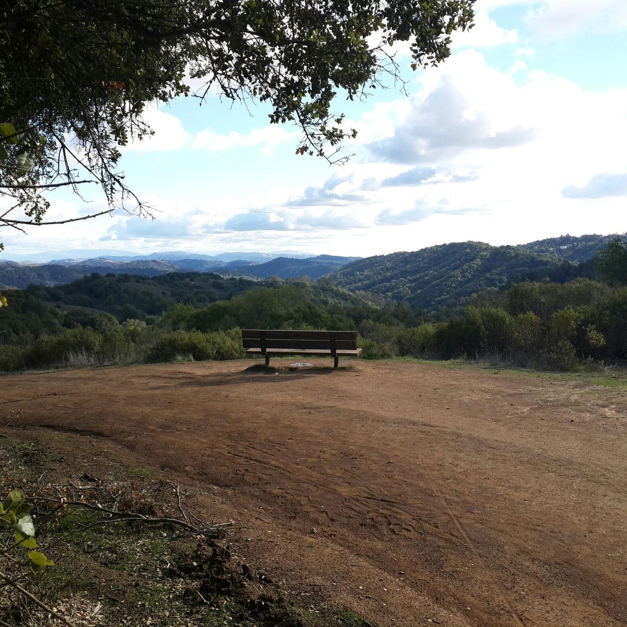
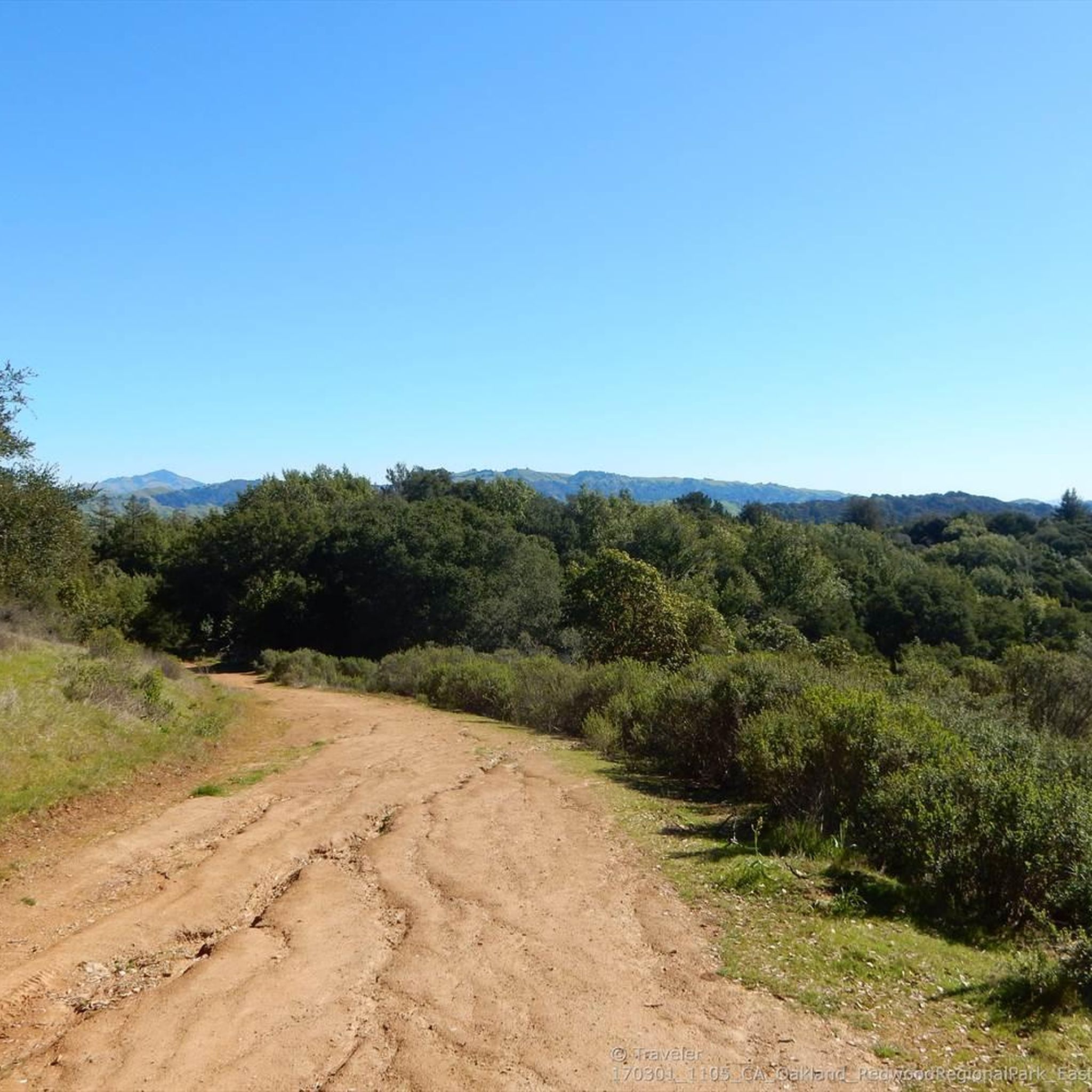
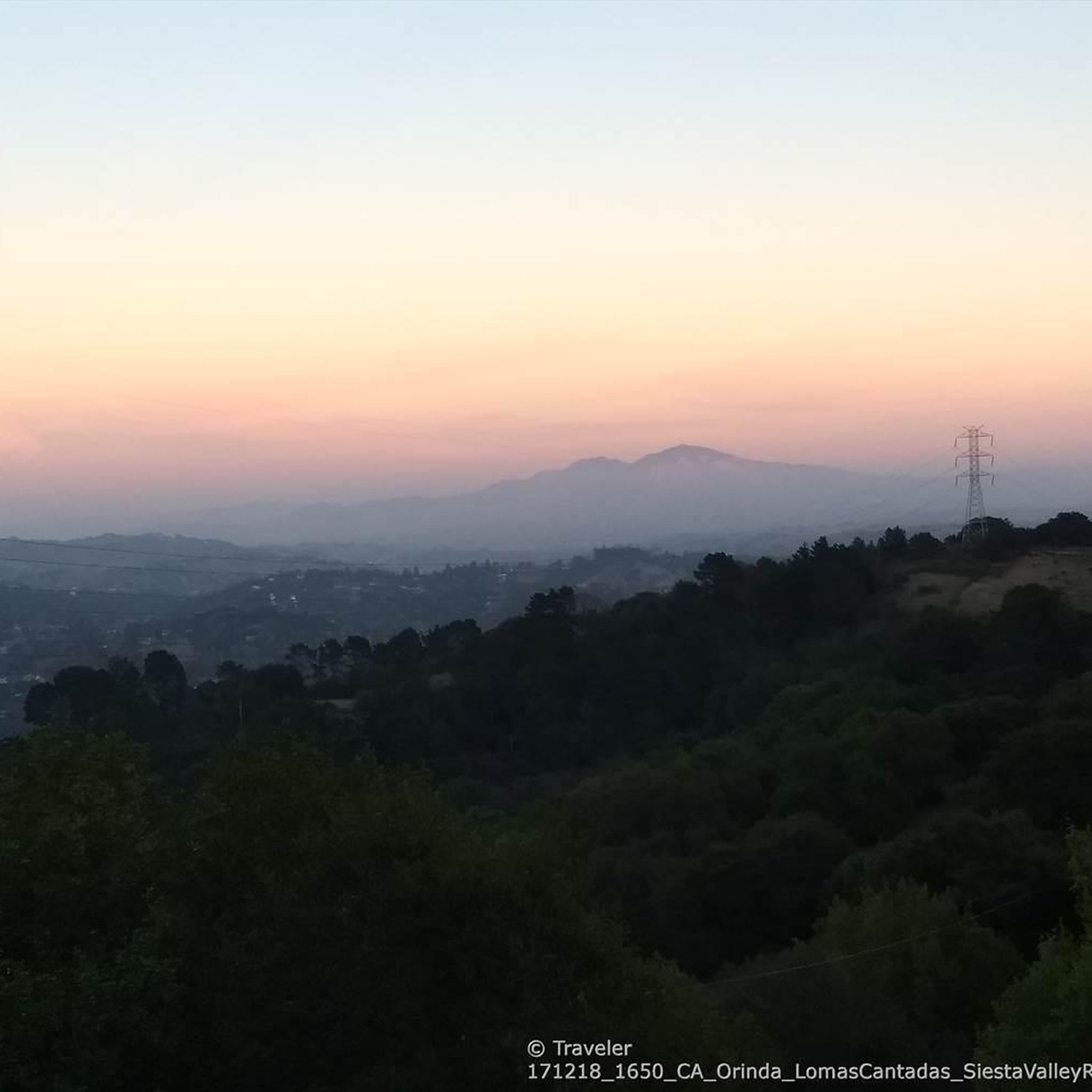
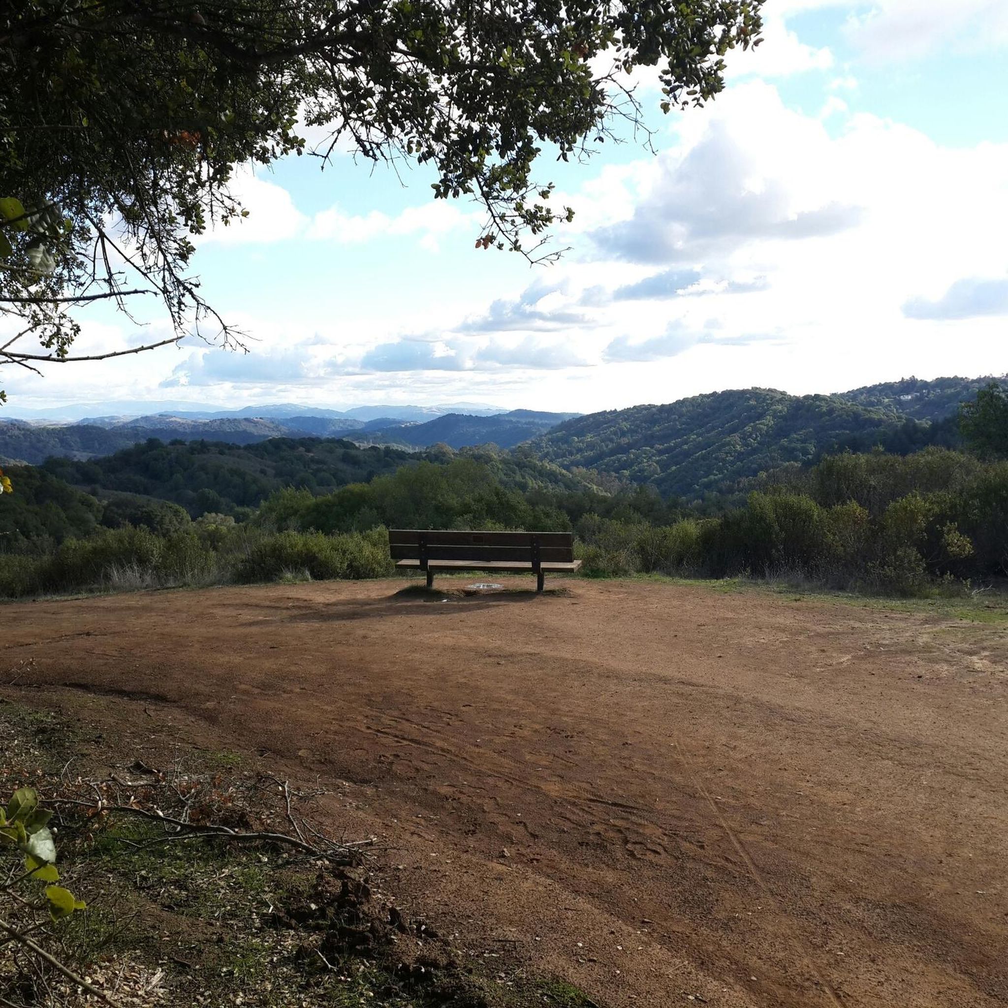
Valle Vista is the trailhead for the paved Lafayette-Moraga Regional Trail, a popular rail-trail for cyclists. There’s a restroom here, but note: the EBMUD dirt trails are hiking-only and require a permit. The bike trail has been officially closed between here and Moraga since a 2019 landslide.
0
0

Point Isabel Regional Shoreline Park is a multi-use park for for joggers, windsurfers, kayakers, photographers, picnickers, and dog walkers. Spanning 50 acres, this park was formerly a landfill but underwent a clay-capping operation in the 1980s, transforming it into a secure and environmentally safe public space.
1
1
Lake Merritt was a large tidal lagoon in San Francisco Bay that was dammed off as Oakland grew as a city. It is 155 acres in size, and it was the first official wildlife refuge in the USA in 1870. It has walking and biking trails and parks all around it.
0
3
The Camron-Stanford House was built in 1876, about 150 years ago. It is the last of the beautiful 19th-century mansions that were built around Lake Merritt. Its graduates played an important role in helping develop Oakland and California. In 1971, the house was saved from demolition, and the house and gardens were restored. Visitors today can visit the historic, era-decorated house.
0
0

Sather Gate, the University of California, Berkeley's famous Beaux Arts south portal was donated by Jane K. Sather in memory of her late husband, banker Peder Sather, and completed in 1910. Designed by John Galen Howard in French baroque style, it is topped by a star with the campus motto, Fiat Lux (let there be light). Inlaid in the gate's columns are eight marble bas-relief panels sculpted by Bay Area artist Melvin Earl Cumming that depict male and female nudes representing the eight fields of learning: letters, mining, medicine, law, electricity, agriculture, architecture and art. In 1910, however, the nudes embarrassed many students, which concerned Mrs. Sather, and the panels were promptly taken down. But in 1977, the panels were found, some under the bleachers at Edwards Stadium and others at the Amador Marble Company in Oakland, and reattached to the granite columns. https://www.visitberkeley.com/directory/sather-gate
1
0

Moraga-Lafayette section until after the bridge still closed due to landslide (April 2021).
0
0
The EBMUD trails at Valle Vista are unfortunately just for hiking (and you need an EBMUD hiking permit), but there is a restroom and it marks the start of the dedicated paved Lafayette-Moraga Regional Bike Trail, a converted former rail line. Due to a land slide the trail is officially closed since at least 2019 between Valle Vista and and Moraga, but everyone just walks around the fence and uses it, except for the actual short landslide area in Moraga.
0
0

A must-go for dog owners. Maybe to busy for a leisurely walk without a furry friend.
0
0
Frequently Asked Questions
What natural attractions can I explore around Orinda?
Orinda is surrounded by diverse natural spaces. You can visit Charles Lee Tilden Regional Park, offering Lake Anza for swimming, a Botanic Garden, and the historic Merry-Go-Round and Steam Train. Briones Regional Park features rolling hills and extensive trails for hiking and wildlife spotting. For unique geological features, explore Sibley Volcanic Regional Preserve with its ancient lava formations and labyrinths. Other notable spots include Lafayette Reservoir for walking and boating, and Orinda Oaks Park for scenic views.
Are there any historical sites or cultural landmarks in Orinda?
Yes, Orinda boasts several historical and cultural landmarks. The beautifully restored Orinda Theatre is an Art Deco cinema from 1941. The Orinda Community Center, originally a school from 1925, now hosts community events. You can also find the Orinda Filter Plant, designated as Orinda's first Historic Landmark, and the historic DeLaveaga Train Station. The Joaquin Moraga Adobe, built in 1841, is Orinda's oldest landmark, though privately owned. For cultural performances, the California Shakespeare Theater (Cal Shakes) offers productions in an outdoor amphitheater.
What activities are available for families with children in Orinda?
Families have many options. At Charles Lee Tilden Regional Park, children can enjoy the historic Merry-Go-Round and the Redwood Valley Railway's steam train rides. The Orinda Park Pool is a public facility with multiple pools and water play areas. The Wagner Ranch Nature Area offers environmental education programs, particularly suitable for kids. Additionally, Lake Merritt, a short drive away, is a 155-acre wildlife refuge with walking and biking trails, popular with families.
Where can I find hiking trails near Orinda?
Orinda is a great base for hiking. Briones Regional Park and Charles Lee Tilden Regional Park both offer extensive networks of trails for various skill levels. For a starting point, the Valle Verde Trailhead Lafayette provides access to the paved Lafayette-Moraga Regional Trail. You can find many hiking options, including easy, moderate, and difficult routes, by exploring the Hiking around Orinda guide.
Are there options for road cycling around Orinda?
Absolutely. The region around Orinda offers excellent road cycling opportunities. The paved Lafayette-Moraga Regional Trail is a popular choice. For more extensive routes, you can explore the Road Cycling Routes around Orinda guide, which includes routes like the Lamorinda Trail Loop and the Lake Chabot Loop.
What parks offer scenic views or unique natural features?
For panoramic vistas, Briones Regional Park offers views from Briones Peak of Mount Diablo and the Sacramento River. Orinda Oaks Park provides lovely views of Mount Diablo and Contra Costa County. Sibley Volcanic Regional Preserve is unique for its volcanic geology, including Round Top. Additionally, Point Emery offers stellar bay views and relaxation spots along its trails.
What are some popular spots for dog owners?
Dog owners will appreciate Point Isabel Regional Shoreline Park, which is a multi-use park spanning 50 acres with designated off-leash areas for dogs. It even has a concession that offers grooming for pets. Point Emery also provides a perfect outdoor setting for families and dog owners, with designated off-leash areas.
Where can I enjoy water-based activities like boating or fishing?
Lafayette Reservoir is a popular spot for public recreation, including walking, fishing, and boating. You can also find opportunities for kayaking, paddleboarding, and kiteboarding at Point Emery, which features two launches to the water.
What is the best time of year to visit Orinda for outdoor activities?
The East Bay hills, including Orinda, are generally pleasant for outdoor activities during spring and fall when temperatures are mild and the landscape is green. Summer can be warm, but many parks offer shaded trails. Winter offers cooler temperatures, which can be ideal for hiking, though some trails might be muddy after rain.
Are there any accessible trails for visitors with mobility needs?
Yes, Lafayette Reservoir offers accessible trails with scenic views of the East Bay. Additionally, the Sather Gate to Berkeley University Campus, while not in Orinda itself but nearby, is noted as wheelchair accessible.
Where can I learn more about Orinda's local history?
The Orinda Library houses the Orinda Historical Society Museum, which is dedicated to preserving and educating the public about Orinda's past. You can find more information about Orinda's history on the city's official website: cityoforinda.gov.
Are there places to shop or dine in Orinda?
Yes, the Orinda Village Square offers a variety of shops and eateries, providing dining and shopping opportunities for visitors and residents alike.
Most popular attractions around Orinda

Get inspired with the komoot mobile app


Explore more
Still not found the Highlight you’re looking for? See guides of the top attractions in other regions:
