The best road cycling routes around Orinda
4.5
(369)
12,590
riders
21
rides
Best road cycling routes Orinda are found within a landscape characterized by rolling hills and varied terrain in the East Bay hills. This region offers a serene environment with lush surroundings, providing diverse challenges for road cyclists. The area features numerous routes with significant climbs and scenic descents, catering to different fitness levels. Orinda's proximity to regional parks further enhances its appeal for outdoor activities.
Best road cycling routes in Orinda
- The most popular road cycling route is Lake Chabot…
Last updated: September 27, 2026
5.0
(1)
126
riders
69.6km
03:44
1,060m
1,060m
Hard road ride. Very good fitness required. Mostly well-paved surfaces and easy to ride.
4.0
(3)
104
riders
48.5km
02:27
760m
760m
Moderate road ride. Good fitness required. Mostly well-paved surfaces and easy to ride.

5.0
(1)
40
riders
74.4km
03:57
1,360m
1,360m
Hard road ride. Very good fitness required. Mostly well-paved surfaces and easy to ride.
3.0
(1)
34
riders
85.3km
04:11
870m
870m
Moderate road ride. Good fitness required. Mostly well-paved surfaces and easy to ride.
5.0
(1)
97
riders
55.5km
02:26
410m
410m
Moderate road ride. Good fitness required. Mostly well-paved surfaces and easy to ride.
Get access to more routes and recommendations from other explorers.
Already have an account?
Our route recommendations are based on thousands of hikes, rides, and runs completed by other people on komoot.
Start today with a free account
Your next adventure awaits.

Tips from the Community

The Museum of the San Ramon Valley was established in 1985 and sits in a restored 1891 Southern Pacific Railroad Depot with the Victorian-era “Combination Station No. 22” listed on the National Register of Historic Places. The Official Visitor Information Center offers maps, guides, and knowledgeable staff, along with free parking and restrooms located in the caboose.
1
0

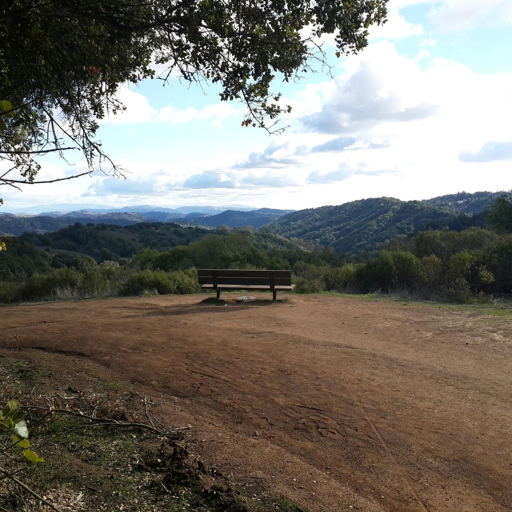
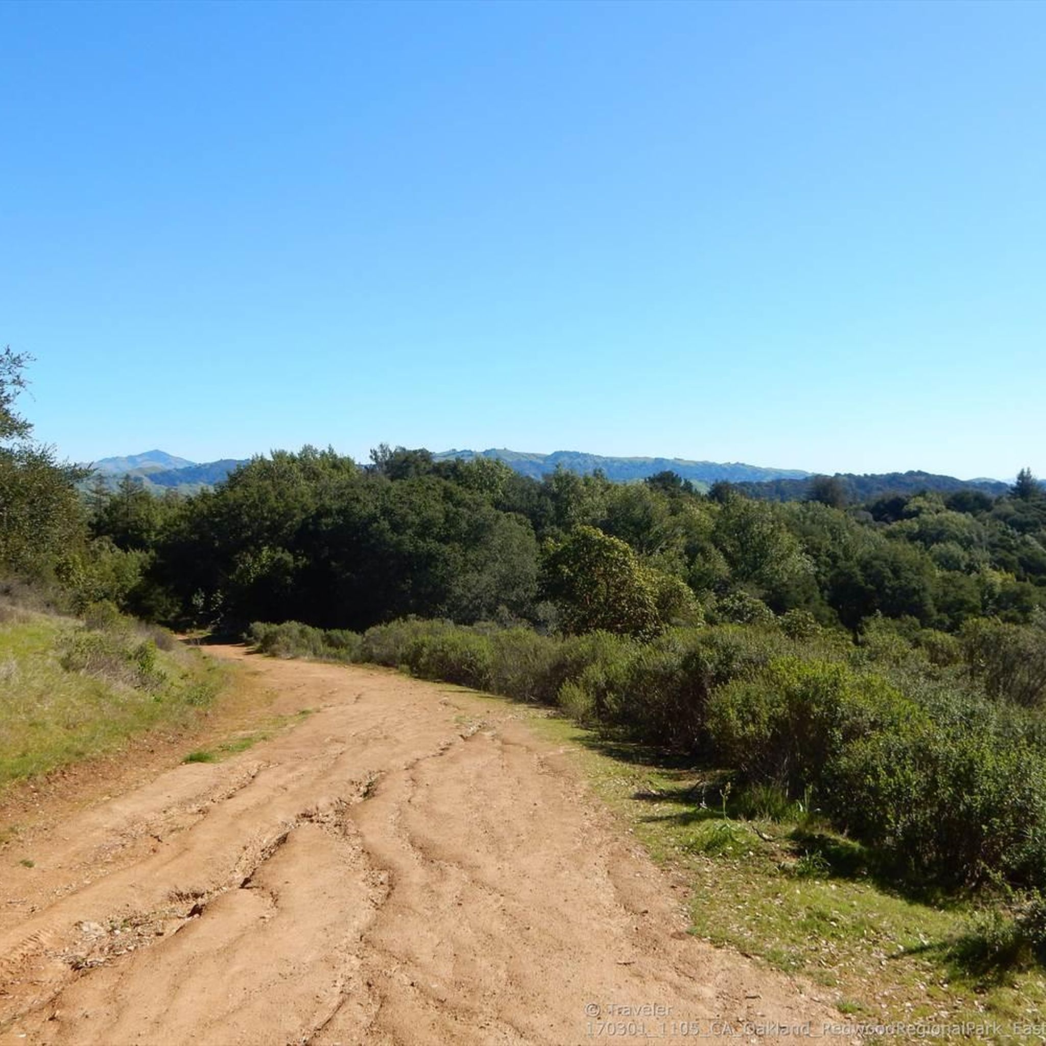
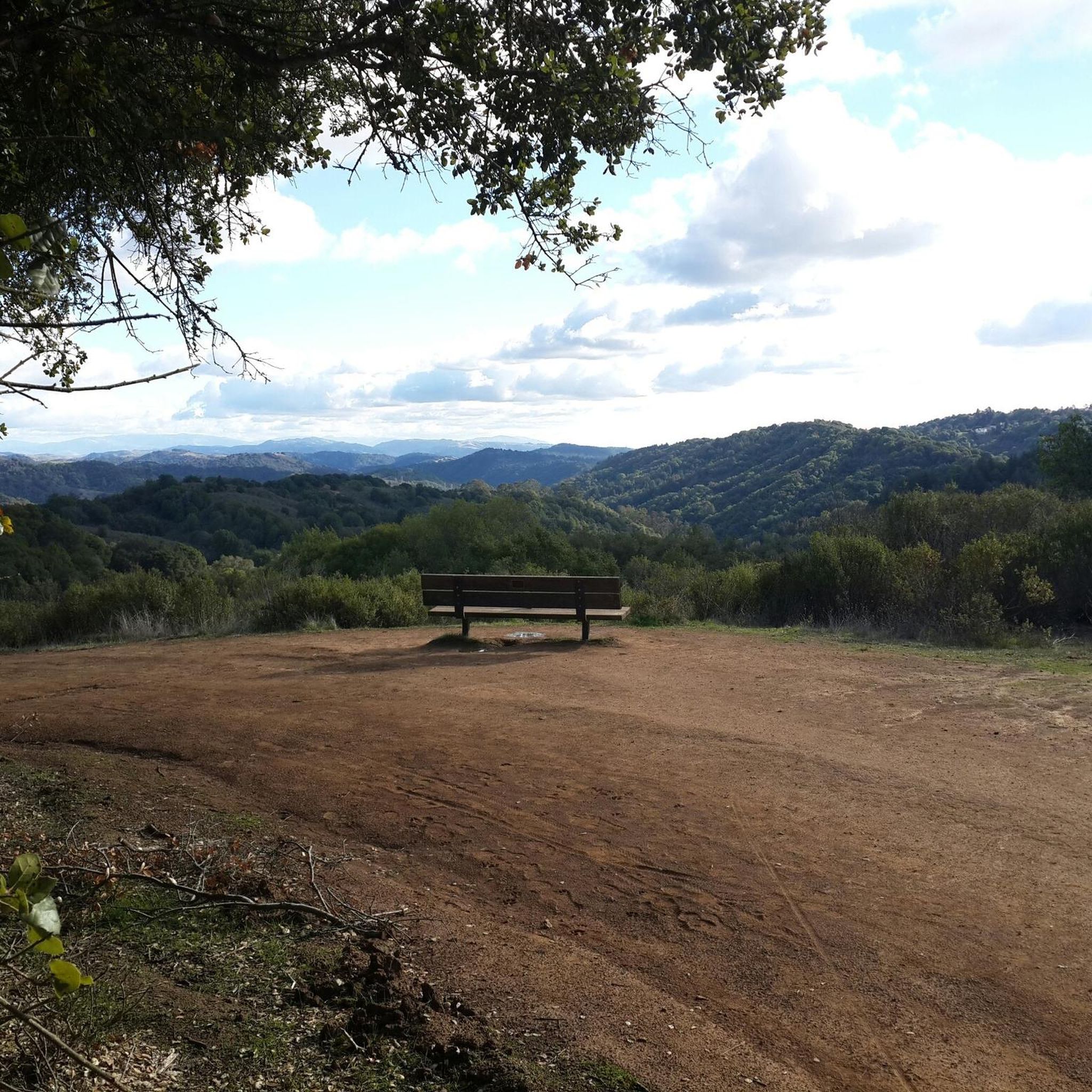
This road parallels the ridgeline above and have great views over the bay and surrounding hills.
0
0

Here on the Lamorinda Bikeway signage helps you to follow the scenic route. You can continue along El Nido Ranch Road to stay on the bikeway, or head up Upper Happy Valley toward Briones Regional Park.
0
0

The Lafayette-Moraga Regional Trail is a 7.65-mile path that runs through Moraga Valley, connecting Las Trampas Ridge with Oakland Hills.
0
0
Leigh Creekside Park is a small park that is just over an acre in size. The park is a nice resting spot just off the Lafayette-Moraga Trail and features picnic tables, a drinking fountain, and plenty of shade
0
0
The Lafayette-Moraga Regional Trail is a 7.65-mile paved path for hiking, biking, and horseback riding, open from 5 a.m. to 10 p.m. daily. Paralleling St. Mary's Road, the trail connects Lafayette and Moraga, passing through the scenic Moraga Valley. It is a historical route for mule and steam trains transporting redwood lumber. The trail starts at Olympic Boulevard in Lafayette and ends at the Valle Vista staging area near the San Leandro Reservoir. Along the way, it links to schools, parks, and commercial areas and is maintained by the East Bay Regional Park District.
0
0

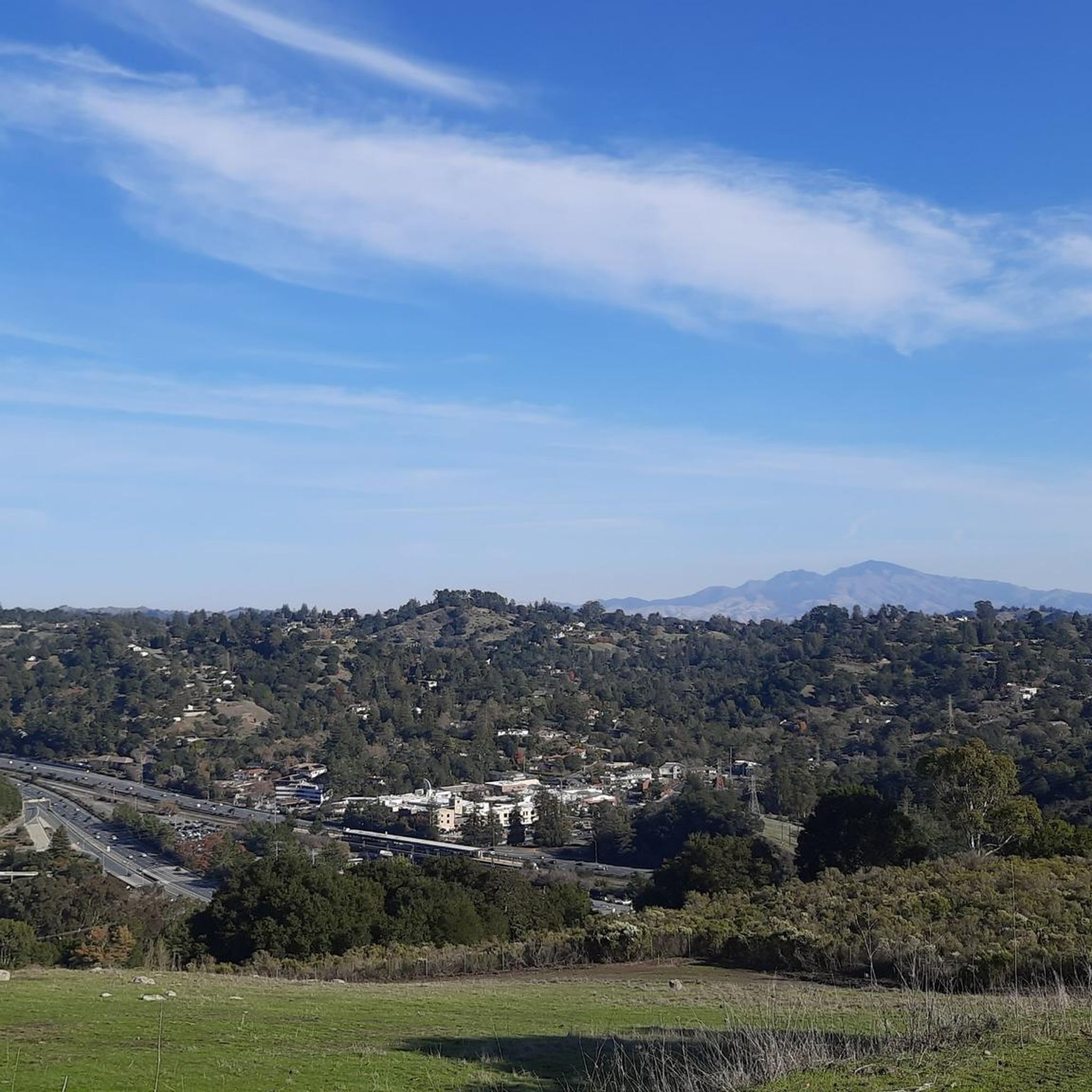
Lafayette is a city in Contra Costa County, California, with a population of 25,391 as of 2020. Named after the Marquis de Lafayette, a French officer in the American Revolutionary War, landmarks include the Lafayette Library and Learning Center, Oakmont Memorial Park, and the Cross of Lafayette Memorial, a somewhat controversial tribute to U.S. soldiers who died in Iraq. Lafayette is also home to the historic Park Theater, which closed in 2005 but is currently being considered for reopening. This is a great town to pass through, or start and/or end a ride.
0
0

Carquinez Scenic Drive, a once popular roadway for cars, has been closed since the 1980s due to landslides that caused damages. However, the former road has now been transformed into a beautiful paved park trail in the Carquinez Regional Shoreline Reserve on the east, and a well-rebuilt paved bike path on the west of the oil dock. The trail is a great spot for biking and offers a shaded area with several scenic viewpoints that overlook the stunning bay.
0
0
Frequently Asked Questions
How many road cycling routes are available around Orinda?
There are over 20 road cycling routes around Orinda, offering a diverse range of experiences for cyclists. These routes are highly rated by the komoot community, with an average score of 4.75 stars from more than 10 reviews.
What kind of terrain and difficulty can I expect on Orinda's road cycling routes?
Orinda's road cycling routes are characterized by rolling hills, challenging climbs, and scenic descents through lush surroundings. You'll find a variety of difficulties, with 7 easy routes, 13 moderate routes, and 2 difficult routes, ensuring options for different fitness levels.
Are there any challenging road cycling routes with significant elevation gain in the Orinda area?
Yes, Orinda offers several challenging routes with significant elevation gain. For instance, the Alhambra Valley loop — Contra Costa County is a difficult 74.4 km trail with over 1,360 meters of elevation gain. Another demanding option is the Lake Chabot Loop, which covers 69.6 km with over 1,000 meters of climbing.
Are there any easier or moderate road cycling routes suitable for good fitness levels?
Absolutely. For those with good fitness looking for a moderate ride, the Siesta Valley loop — Orinda is a great choice, spanning 48.5 km with 760 meters of elevation gain. Another moderate option is the Lafayette-Moraga Trail loop — Berkeley, an 85.3 km route with 870 meters of ascent.
What natural features or landmarks can I see along the road cycling routes in Orinda?
Orinda's routes often pass through or near beautiful natural features. You can find stunning views from Grizzly Peak Vista Point or explore the unique geological formations near Sibley Volcanic Regional Preserve. The expansive Briones Regional Park, with its rolling hills and diverse wildlife, is also a prominent feature in the area.
Are there any loop routes for road cycling in Orinda?
Yes, many of Orinda's road cycling routes are designed as loops, offering a continuous journey without retracing your path. Popular loop options include the Lake Chabot Loop, the Siesta Valley loop — Orinda, and the Alhambra Valley loop — Contra Costa County.
What is the best time of year for road cycling in Orinda?
Orinda offers good cycling conditions for much of the year. The region generally experiences mild weather, making spring and fall particularly pleasant for road cycling. Summer can be warm, but early mornings are often ideal. Winter rides are possible, though some routes might be affected by rain.
Are there any family-friendly road cycling options in Orinda?
While many road cycling routes in Orinda involve significant hills, the area's parks offer more relaxed options. The Lafayette Reservoir, for example, is a popular spot for families with opportunities for walking and picnicking, and some segments of the Lafayette-Moraga Trail are suitable for less strenuous rides. For specific family-friendly routes, look for easier-rated tours.
Where can I find parking or trailheads for road cycling in Orinda?
Many regional parks in and around Orinda, such as Charles Lee Tilden Regional Park and Briones Regional Park, offer designated parking areas that can serve as trailheads for road cyclists. Specific route descriptions on komoot often provide details on starting points and parking availability.
What do other road cyclists enjoy most about cycling in Orinda?
The komoot community highly rates road cycling in Orinda, with an average score of 4.75 stars. Cyclists frequently praise the region's beautiful rolling hills, challenging climbs, and the serene, lush surroundings. The diverse network of routes caters to various skill levels, making it a favorite for many.
Are there any specific points of interest or viewpoints along the routes?
Yes, cyclists can enjoy several points of interest. The Grizzly Peak Vista Point offers panoramic views, and the Briones Crest Trail, while primarily a hiking trail, is known for its sweeping vistas from Briones Regional Park. Many routes also offer glimpses of the scenic Lafayette Reservoir.
Can I find information about local parks and recreation facilities in Orinda?
Yes, Orinda is committed to providing access to nature through its parks and recreation facilities. You can find more information about these local amenities, including details on various activities and natural environments, by visiting the official City of Orinda Parks & Recreation website.
Most popular attractions around Orinda

Get inspired with the komoot mobile app


Explore more
Browse the best Road cycling routes in other regions.
