The best cycling routes around Picture Rocks
4.8
(22)
236
riders
15
rides
Touring cycling around Picture Rocks, Arizona, is characterized by diverse Sonoran Desert scenery, featuring abundant cacti and varied plant life. The region offers routes with mountain views and challenging terrain, including sections with significant elevation gains. Cyclists can expect a mix of paved roads and multi-use paths, providing opportunities to explore the unique desert landscape.
Best touring cycling routes around Picture Rocks
- The most popular touring cycling route is Bajada Loop Drive, a 6.1 miles (9.8 km) trail that…
Last updated: October 3, 2026
5.0
(1)
4
riders
9.79km
01:04
120m
170m
Easy bike ride. Great for any fitness level. Mostly paved surfaces. Suitable for all skill levels.
5.0
(2)
20
riders
31.0km
01:47
100m
100m
Easy bike ride. Great for any fitness level. Mostly paved surfaces. Suitable for all skill levels.

4.8
(5)
17
riders
22.7km
01:18
50m
50m
Easy bike ride. Great for any fitness level. Mostly paved surfaces. Suitable for all skill levels.
15
riders
37.2km
02:09
110m
110m
Moderate bike ride. Good fitness required. Mostly paved surfaces. Suitable for all skill levels.
4.0
(1)
7
riders
Hard bike ride. Very good fitness required. Mostly paved surfaces. Suitable for all skill levels.
Get access to more routes and recommendations from other explorers.
Already have an account?
Our route recommendations are based on thousands of hikes, rides, and runs completed by other people on komoot.
Start today with a free account
Your next adventure awaits.
Tips from the Community

The Magic Carpet. Artist: Nicholas Burke. Overview: Commissioned by the Thomason Family, this sculpture is the centerpiece of an expanded memorial wall and garden at the Children's Memorial Park. Omni Primo, 1978. Artist: Joe Ventura. Overview: The Pima County / Tucson Parks and Recreation Civic Arts Project brought together 765 children from the community to create each component of this sculpture under the guidance of Joe Ventura. Funding was provided through the Federal Recreation Summer Program.
0
0
Omni Primo, 1978. Artist: Joe Ventura. Overview: The Pima County / Tucson Parks and Recreation Civic Arts Project brought together 765 children from the community to create each component of this sculpture under the guidance of Joe Ventura. Funding was provided through the Federal Recreation Summer Program.
0
0
Sun Circle, 1994. Artists: Paul T. Edwards, Susan Holman, Chris Tanz. Overview: This circular structure built of concrete block and flagstone features eight interrupted curving walls create a kiva-like circle. Six of the walls have small ports oriented toward sunrise and sunset at the summer and winter solstices, and the spring and fall equinoxes.
0
0
Extreme Batty Biker, 2017. Artist: Stephen Fairfield. Overview: This playful steel sculpture of a bat on a mountain bike is the third in a series showcasing the role of roosting bats under the bridges along The Loop.
0
0

The half-mile trail crosses West Gate Road at a convenient trailhead with maps, and continues on either side to connect Gate Pass Trail with Golden Gate Trail in the south.
0
0
Rocky singletrack leading from Hohokam Road to the overlook in the west, crossing Bajada Bash Trail and branching west off Wild Dog Trail
1
0

Great place to learn about the desert and see native plants and animals. Well worth the annual membership as it is a great place to wander about. A true Tucson gem.
0
0

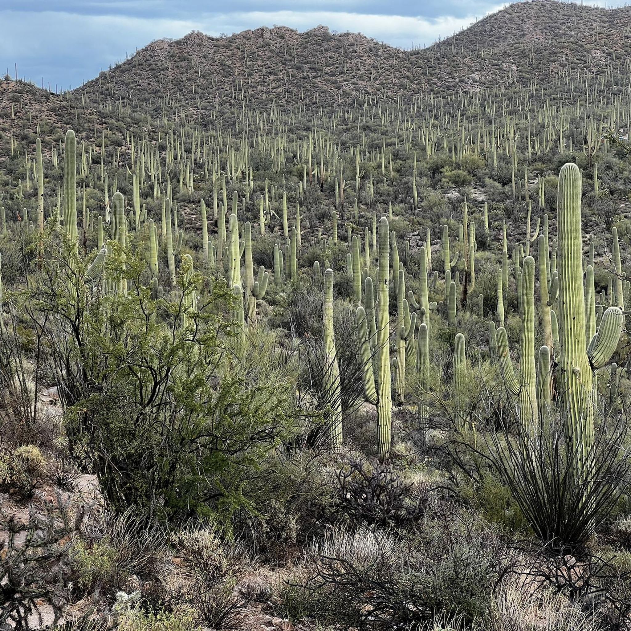
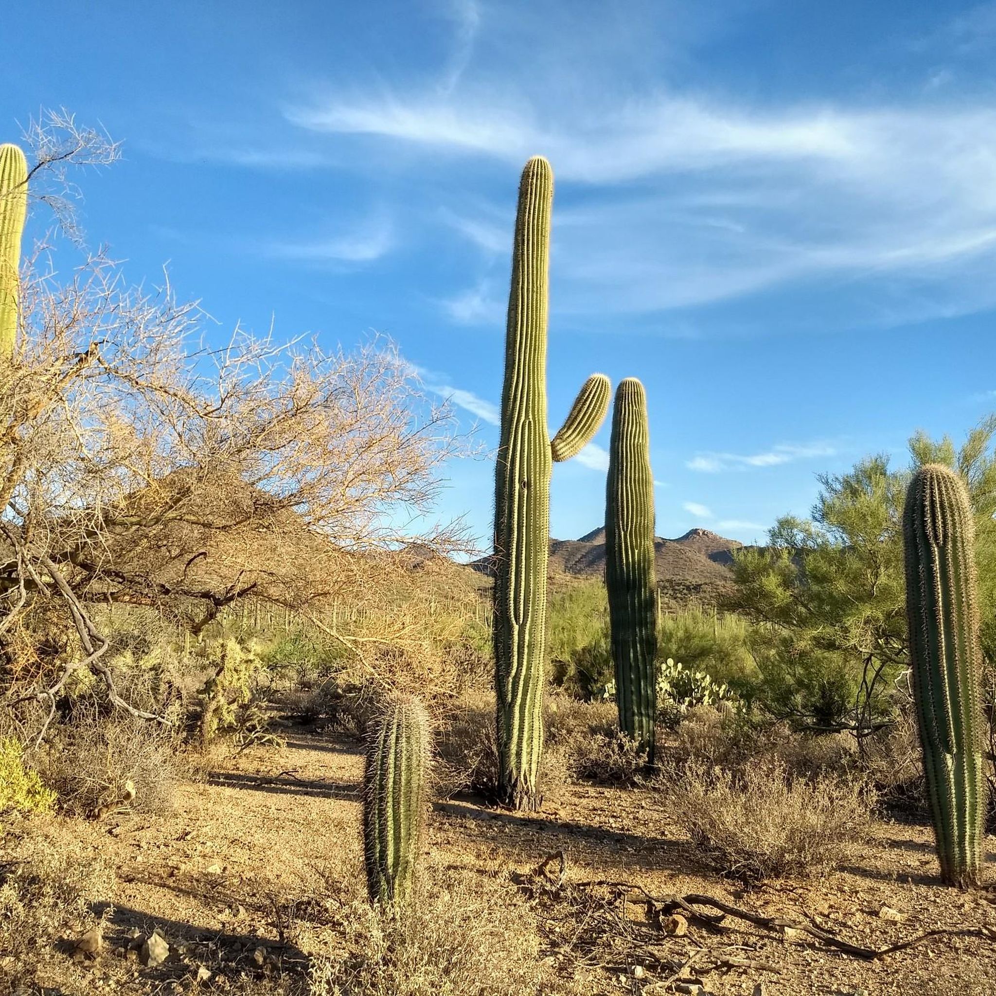
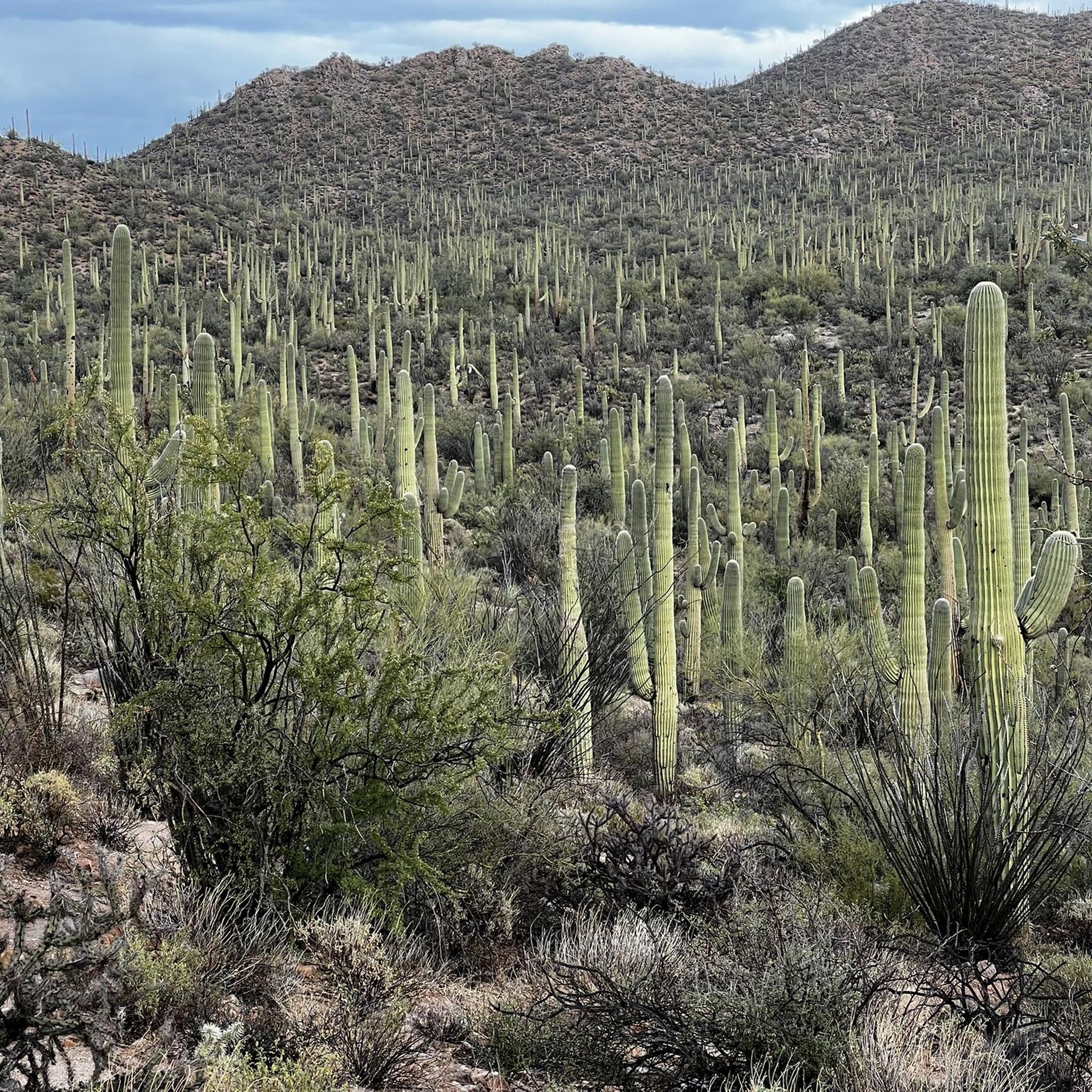
Saguaro National Park is home to the largest collection of giant saguaro cacti in the world. From the summit of Mica Mountain at 8,669 feet to the desert floor one can see a vegetation change usually only experienced on a drive from Mexico to Canada. Backcountry camping along the Arizona Trails is only allowed with a permit for Grass Shack Campground or Manning Camp. There are also some other nice official campsites in Saguaro National Park. Permits are available at: https://www.recreation.gov/camping/campgrounds/10028678
0
0
Frequently Asked Questions
What kind of terrain can I expect on touring cycling routes around Picture Rocks, Arizona?
Touring cycling around Picture Rocks, Arizona, is characterized by diverse Sonoran Desert scenery, featuring abundant cacti and varied plant life. You'll encounter routes with mountain views and challenging terrain, including sections with significant elevation gains. The region offers a mix of paved roads and multi-use paths.
Are there any easy touring cycling routes suitable for beginners or families?
Yes, there are several easy routes. For a scenic and accessible option, consider the Bajada Loop Drive, which is 6.1 miles (9.8 km) long and offers beautiful desert views. Another easy route is the El Rio Preserve loop from Mira Vista Resort, a 14.1-mile (22.7 km) trail through natural preserve areas.
What are some challenging touring cycling routes in the Picture Rocks area?
For those seeking a more challenging ride, the region offers routes with significant elevation changes. An example is the Rillito River Trail – Arizona-Sonora Desert Museum loop from Bus or RV Parking, which is a difficult 78.6 km (48.9 miles) route with over 570 meters of elevation gain, providing an intense workout through varied desert landscapes.
What natural features or landmarks can I see along the touring cycling routes?
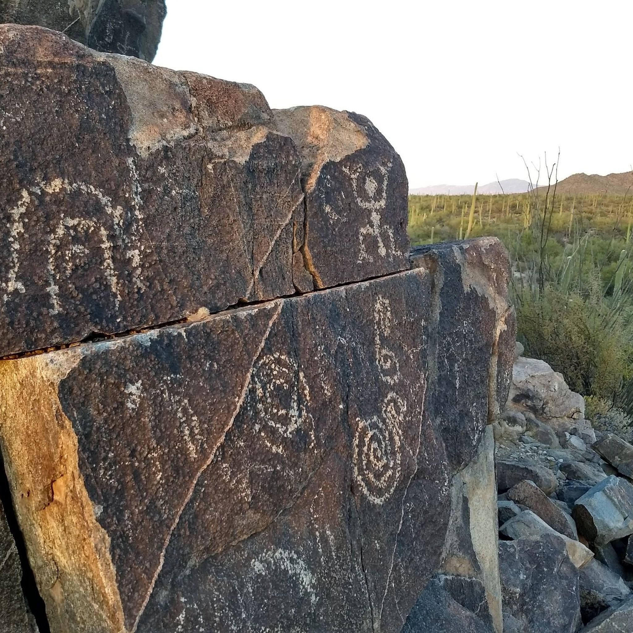
The Picture Rocks area is rich in natural and cultural landmarks. You can explore the unique desert ecosystem at the Arizona-Sonora Desert Museum, or discover ancient rock art at the King Canyon Wash Petroglyphs and Signal Hill Petroglyphs. Many routes also offer breathtaking views of mountains and diverse desert plant life.
Are there any circular touring cycling routes in Picture Rocks?
Yes, many routes in the Picture Rocks area are designed as loops, allowing you to start and end at the same point. Examples include the Garden of Gethsemane Park – Owl at Sweetwater Wetlands loop from Quarry Pines Golf Club, a moderate 31.2-mile (50.3 km) path, and the Owl at Sweetwater Wetlands loop from Bus or RV Parking.
What is the best time of year to go touring cycling in Picture Rocks, Arizona?
The Sonoran Desert climate means that cooler months, typically from late fall through early spring (October to April), are ideal for touring cycling. During these times, temperatures are more moderate, making for a more comfortable ride. Summers can be extremely hot, so early morning rides are recommended if cycling during those months.
What do other touring cyclists enjoy most about the Picture Rocks area?
The Picture Rocks area is highly rated by the komoot community, with an average score of 4.6 stars from over 10 reviews. Cyclists frequently praise the awesome desert scenery, diverse plant life, and the breathtaking mountain views. The variety of routes, from easy loops to challenging climbs, is also a highlight for many.
Are there any specific safety considerations for cycling in Picture Rocks, Arizona?
When cycling in Picture Rocks, it's important to be aware of the desert environment. Cyclists should exercise caution due to potentially limited shoulders on some roads, especially on routes like Picture Rocks Road. Always carry plenty of water, wear sun protection, and be mindful of wildlife. Some routes may also feature intense twists and turns or steep climbs.
Is public transport available to access touring cycling routes in Picture Rocks?
While direct public transport to all trailheads within the Picture Rocks area might be limited, the wider Tucson area offers paved multi-use paths that connect to or provide similar desert scenery. For specific routes, checking local bus schedules for stops near major access points or considering ride-sharing services might be necessary.
Do I need a permit to cycle on the touring routes around Picture Rocks?
Generally, permits are not required for cycling on public roads and designated multi-use paths in the Picture Rocks area. However, if you plan to cycle within specific protected areas or private lands, it's always advisable to check with the relevant land management authority for any specific regulations or permit requirements.
Where can I find parking for touring cycling routes in Picture Rocks?
Parking availability varies by trailhead and route. Many popular routes, especially those starting near parks or recreational areas, will have designated parking lots. For example, routes originating from golf clubs or resorts, as mentioned in some komoot tours, often provide parking facilities. Always check the specific route details on komoot for recommended starting points and parking information.
Most popular attractions around Picture Rocks

Get inspired with the komoot mobile app


Explore more
Browse the best Cycling routes in other regions.
