The best road cycling routes around Picture Rocks
4.0
(8)
429
riders
10
rides
Road cycling routes around Picture Rocks offer a diverse landscape for exploration. The region features flat river paths along the Rillito River and routes through the El Rio Preserve, providing varied terrain for cyclists. These routes are generally characterized by gentle elevation changes, making them accessible for different skill levels. The area's natural environment provides a backdrop for road cycling activities.
Best road cycling routes around Picture Rocks
- The most popular road cycling route is Rillito River Trail – Rollito…
Last updated: May 26, 2026
4.4
(5)
128
riders
59.7km
02:44
160m
160m
Moderate road ride. Good fitness required. Mostly well-paved surfaces and easy to ride.
3.7
(3)
68
riders
Moderate road ride. Good fitness required. Some segments of this route may be unpaved and difficult to ride.

Sign up for free
64
riders
Moderate road ride. Great for any fitness level. Some segments of this route may be unpaved and difficult to ride.
35
riders
27.0km
01:13
60m
60m
Easy road ride. Great for any fitness level. Mostly well-paved surfaces and easy to ride.
16
riders
23.6km
00:59
50m
50m
Easy road ride. Great for any fitness level. Mostly well-paved surfaces and easy to ride.
Get access to more routes and recommendations from other explorers.
Sign up for free
Already have an account?
Our route recommendations are based on thousands of hikes, rides, and runs completed by other people on komoot.
Start today with a free account
Your next adventure awaits.
Login or Signup
Tips from the Community

Art can be found throughout The Loop. Both contemporary art, like this piece, and indigenous art.
1
0
A great cycle path that is made up of several sections and is over 100 miles long in total.
1
0

The Cañada del Oro River Park is a 30‑acre community green space along the Cañada del Oro wash. The park has picnic areas, playgrounds, and several miles of hiking trails.
0
0

The Juan Bautista de Anza Trail passes through three states and two countries as it follows the historic route of Spanish colonizers from Mexico to what is now San Francisco. This particular spot in the trail is close to Sentinel Peak Park (yes, you can bike up the road to the peak). The trail also parallels the Santa Cruz River for a stretch.
2
0
From here you can see into St. Philip's Plaza, and maybe even catch a glimpse of the fountain near its center if crowds of people aren't in the way. This plaza isn't just popular with walkers and shoppers; it's also a common spot to begin or end a road ride.
1
0
From here you can see into St. Philip's Plaza, and maybe even catch a glimpse of the fountain near its center, if crowds of people aren't in the way. This plaza isn't just popular with walkers and shoppers; it's also a common spot to begin or end a road ride.
0
0

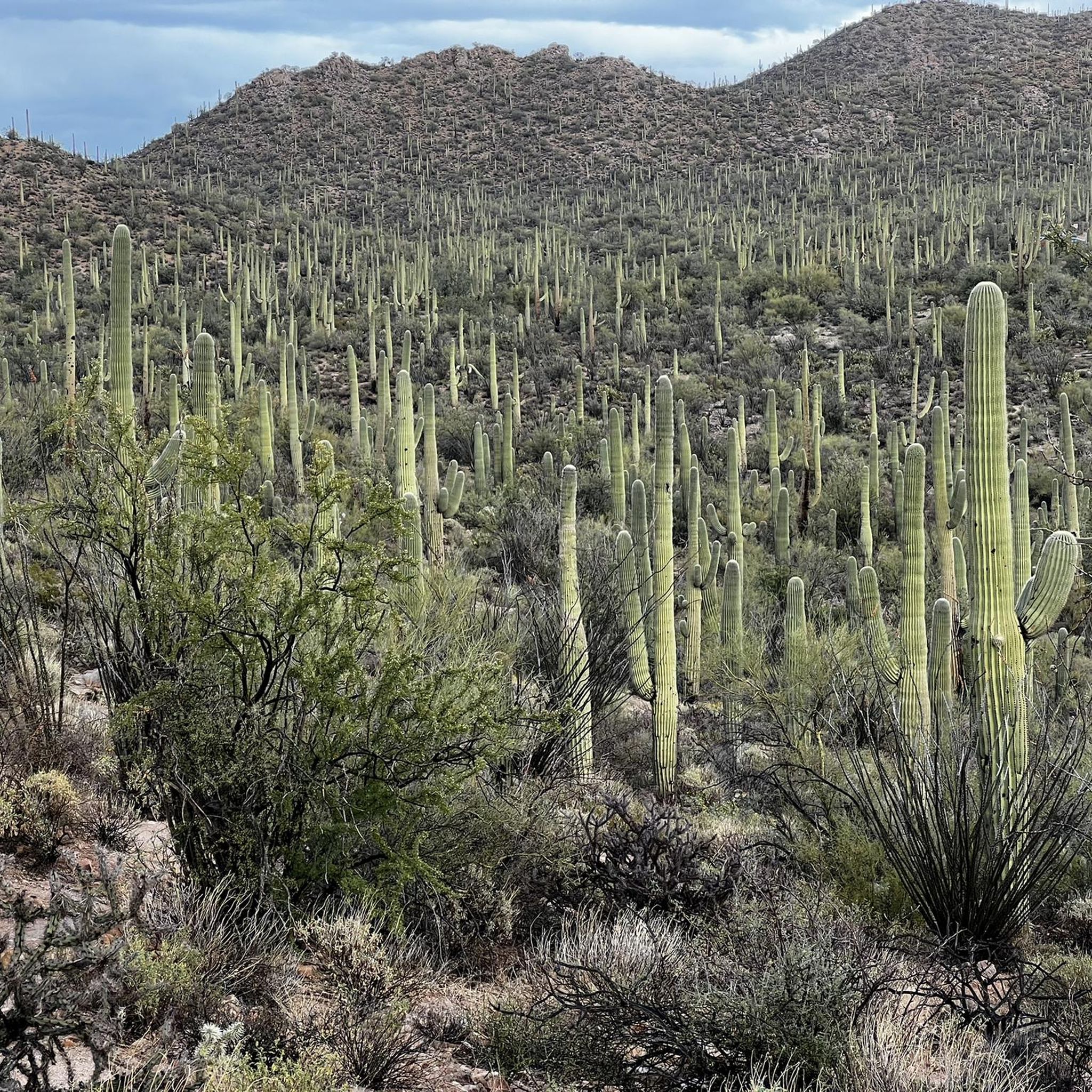
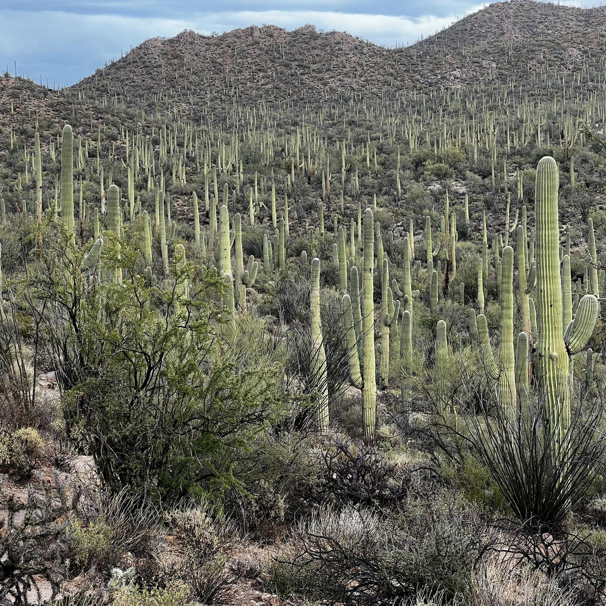
Also known as the Rillito River bike path, The Loop has been named the top biking path in America. The trail follows parallel to the Santa Cruz River and is a phenomenal way to reach Saguaro National Park from Tucson!
2
0

Right in the heart of the Oro Valley is the recreational haven that is the Cañada del Oro Riverfront Park. This 30 acres of green heaven, provides a sense of serenity in what is otherwise a busy resort town. Apart from the green space there are a variety of sports fields, picnic areas, an amphitheater and a variety of hiking and biking trails.
0
1
Frequently Asked Questions
How many road cycling routes are available in Picture Rocks?
Picture Rocks offers a selection of 11 road cycling routes, catering to various preferences and skill levels.
Are there easy road cycling routes for beginners in Picture Rocks?
Yes, Picture Rocks is very welcoming for beginners, with 8 out of 11 routes classified as easy. These routes often feature gentle elevation changes and flat sections, such as the El Rio Preserve loop from Marana.
What kind of terrain can I expect on road cycling routes in Picture Rocks?
The region's road cycling routes are characterized by river paths along the Rillito River, routes through the El Rio Preserve, and open desert landscapes. You'll generally find routes with gentle elevation changes, offering a consistent and enjoyable ride.
Are there any challenging road bike climbs in Picture Rocks?
The road cycling routes in Picture Rocks are primarily known for their gentle elevation changes. There are no routes classified as difficult, with the most challenging options being moderate, such as the Rillito River Trail – Rollito River Path loop from Bus or RV Parking.
Can I find long-distance road cycling routes in Picture Rocks?
Yes, Picture Rocks offers several longer routes. The Rillito River Trail – Rollito River Path loop from Bus or RV Parking is a substantial 37.1 miles (59.7 km) ride, providing a good option for those seeking a longer journey.
What are some scenic highlights or viewpoints along the road cycling routes?
Many routes navigate through the El Rio Preserve and along the Rillito River, offering open views of the desert landscape and natural surroundings. While specific viewpoints aren't listed, the natural environment itself provides a scenic backdrop.
Are there loop road bike routes available in Picture Rocks?
Yes, many of the road cycling routes in Picture Rocks are loops, allowing you to start and end at the same point. Examples include the El Rio Preserve loop from Marana and the El Rio Preserve loop from Distruptive Paintball & Airsoft Field.
What attractions can I explore near the road cycling routes in Picture Rocks?
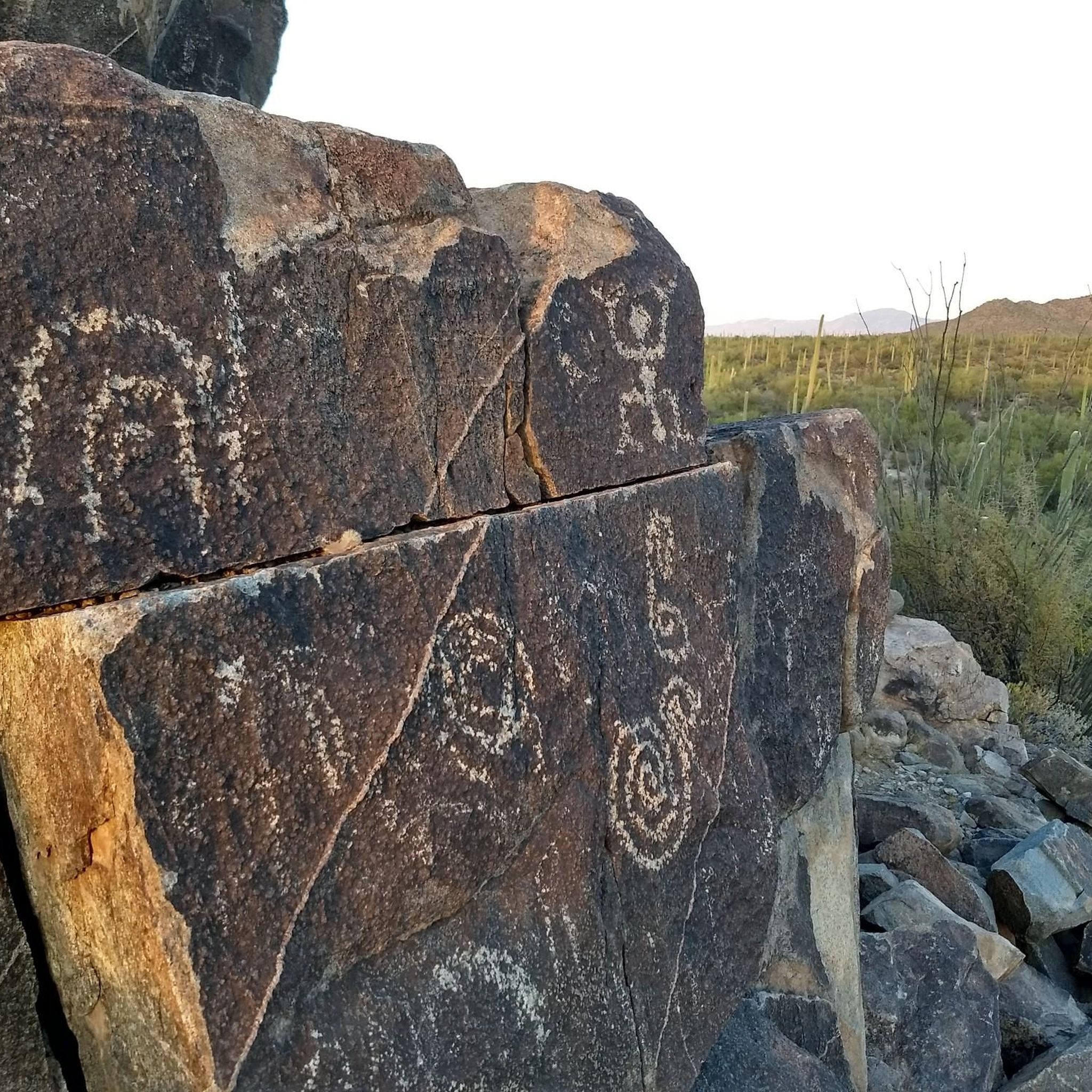
Beyond cycling, you can explore several nearby attractions. Consider visiting the Arizona-Sonora Desert Museum, or discovering historical sites like the King Canyon Wash Petroglyphs and Signal Hill Petroglyphs.
What is the best time of year for road biking in Picture Rocks?
Given its desert climate, the cooler months from late fall through early spring (roughly October to April) are generally ideal for road cycling in Picture Rocks. Summer temperatures can be very high, making early morning rides essential if cycling during that season.
Are there family-friendly road biking options in Picture Rocks?
Yes, the prevalence of easy routes with gentle elevation changes makes Picture Rocks suitable for family road biking. Routes like the El Rio Preserve loop from Quarry Pines Golf Club offer accessible paths for various skill levels.
What do other road cyclists enjoy most about road cycling in Picture Rocks?
Road cyclists in the komoot community often praise the consistent paths along the Rillito River and the open, natural environment of the El Rio Preserve. The gentle terrain and varied desert landscapes are frequently highlighted as enjoyable aspects of riding in the area.
Where can I find road bike trailheads with parking in Picture Rocks?
While specific parking details for every trailhead are not provided, many routes, such as the Rillito River Trail – Rollito River Path loop from Bus or RV Parking, indicate starting points with parking accessibility, often near public facilities or designated areas.
Most popular routes around Picture Rocks
Most popular attractions around Picture Rocks

Get inspired with the komoot mobile app


Explore more
Browse the best Road cycling routes in other regions.
