The best road cycling routes in Lake Tahoe Basin Management Unit
4.7
(36)
2,997
riders
76
rides
Road cycling routes in Lake Tahoe Basin Management Unit traverse over 156,000 acres of National Forest lands within the Sierra Nevada mountains. The region is characterized by the expansive Lake Tahoe, surrounded by majestic peaks and diverse terrain. Well-maintained pathways and dedicated bike paths offer varied cycling experiences, from lakeside routes to mountain ascents.
Best road cycling routes in Lake Tahoe Basin Management Unit
- The most popular road cycling route is Lake Tahoe loop, a 73.1 miles (117.7 km)…
Last updated: July 7, 2026
5.0
(6)
731
riders
118km
05:31
1,260m
1,260m
Hard road ride. Very good fitness required. Mostly well-paved surfaces and easy to ride.
5.0
(2)
132
riders
64.6km
02:55
660m
670m
Moderate road ride. Good fitness required. Mostly well-paved surfaces and easy to ride.

Sign up for free
43
riders
84.2km
03:52
720m
720m
Moderate road ride. Good fitness required. Mostly well-paved surfaces and easy to ride.
38
riders
32.0km
02:00
830m
830m
Moderate road ride. Good fitness required. Mostly well-paved surfaces and easy to ride.
21
riders
18.6km
00:51
190m
190m
Easy road ride. Great for any fitness level. Mostly well-paved surfaces and easy to ride.
Get access to more routes and recommendations from other explorers.
Sign up for free
Already have an account?
Our route recommendations are based on thousands of hikes, rides, and runs completed by other people on komoot.
Start today with a free account
Your next adventure awaits.
Login or Signup
Popular around Lake Tahoe Basin Management Unit

American Discovery Trail — Walking from sea to shining sea

Tahoe Rim Trail — Hiking along the Jewel of the Sierra

American Discovery Trail — Riding coast to coast

California to Nevada – hiking between Volcanoes, Water & Forest
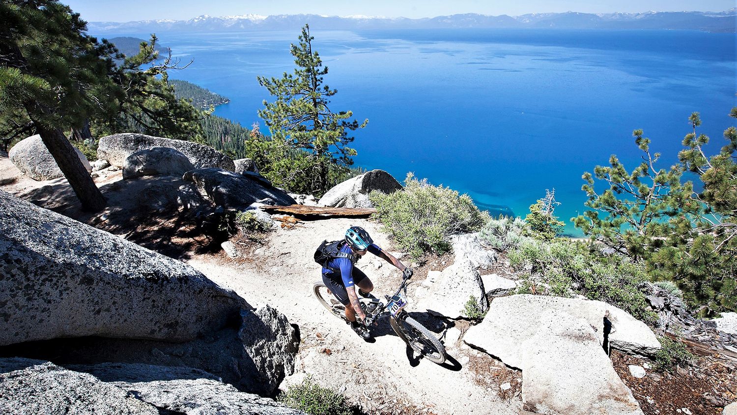
Rocky trails and magical views – MTB Tours in Nevada

Circumnavigating Lake Tahoe in the Sierra Nevada – Tahoe Rim Trail

Unforgettable MTB Adventures – IMBA Epic Trails in USA and Canada
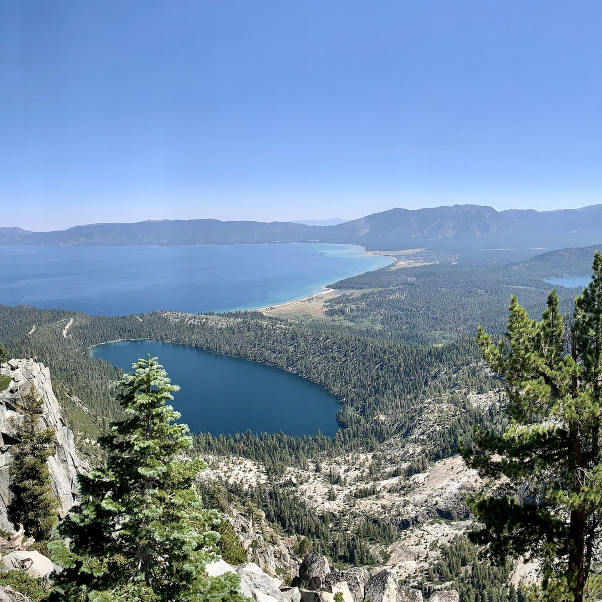
Hiking in Lake Tahoe Basin Management Unit
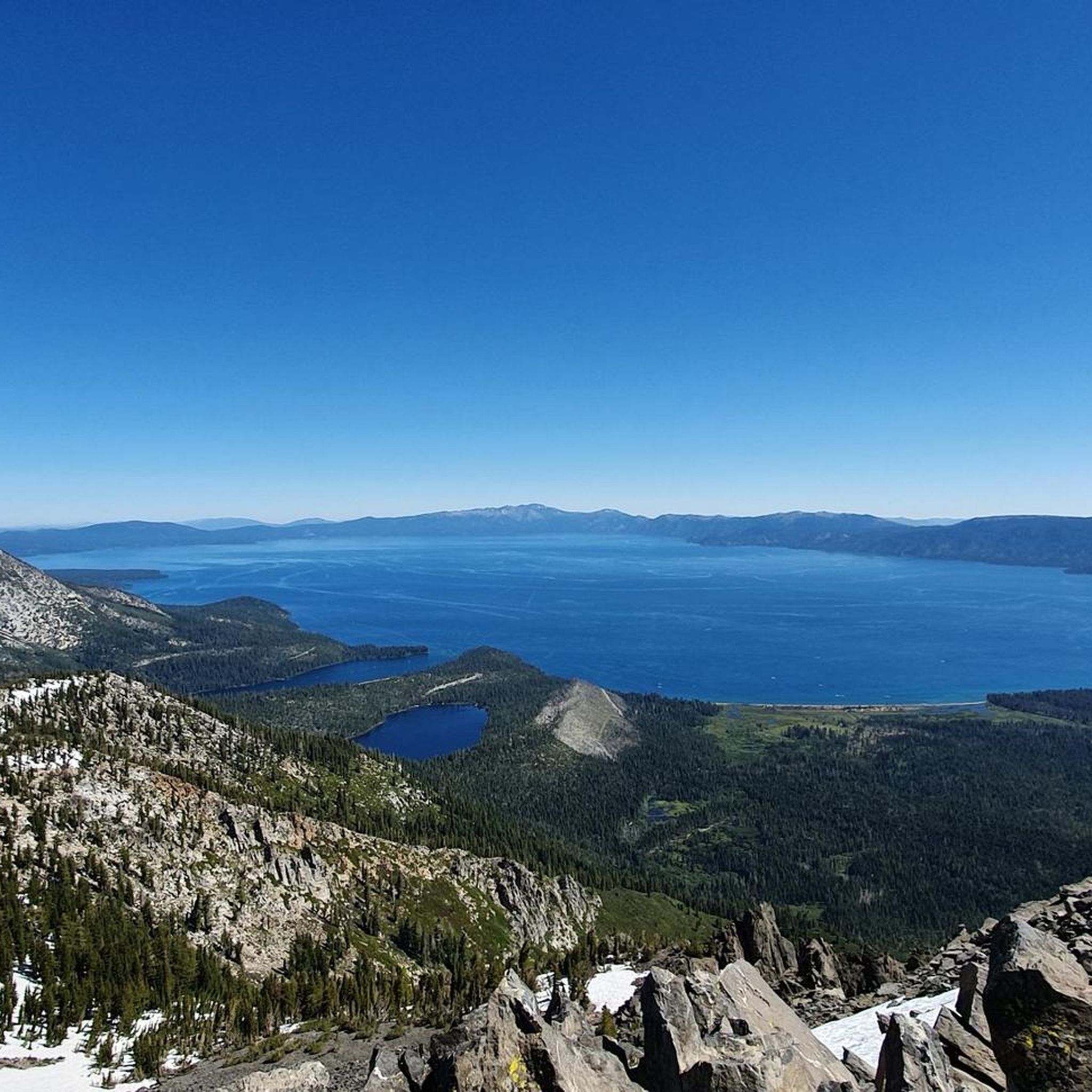
MTB Trails in Lake Tahoe Basin Management Unit
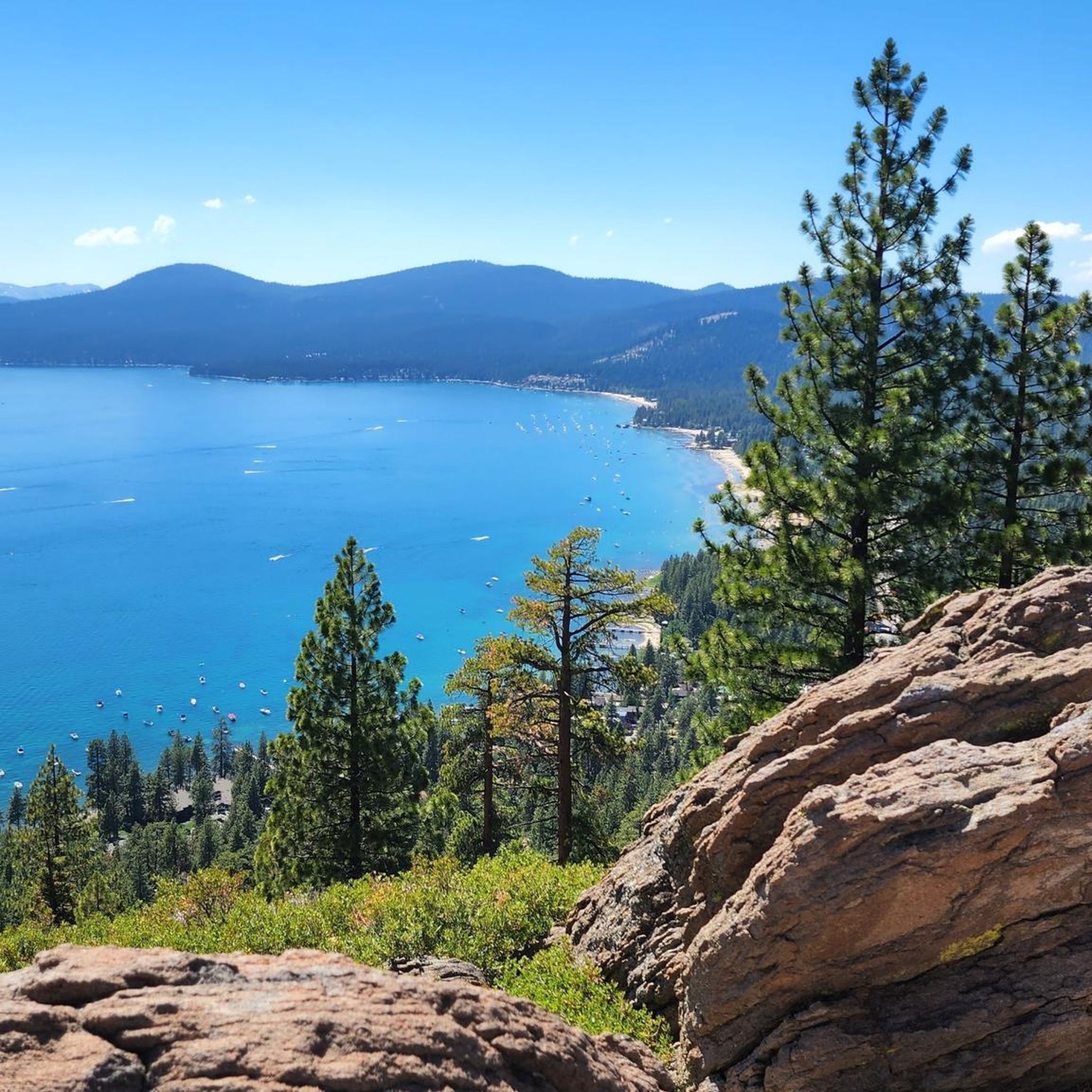
Cycling in Lake Tahoe Basin Management Unit
Other adventures in Lake Tahoe Basin Management Unit


Tips from the Community

Fantastic views. Unfortunately, completely overcrowded.
0
0

The Bayview Campground would offer a good parking lot. However, it is now closed until Spring 2025. Maybe one has to consider parking along the street during day trips.
0
0

There is a short accessible path to the overlook from Highway 50 with restrooms and three stone benches. You can leave the crushed gravel path to the overlook and climb up on the rocks of the shoreline to get a better view. This spot is well worth the stop!
0
0

Donner Pass sits at an elevation of 7,056 feet above Donner Lake. The pass was originally used by the California Trail and America's first transcontinental railroad. It is named after the ill-fated Donner Party, who overwintered there in 1846.
0
0
Lake Tahoe is a large freshwater lake that straddles the border of California and Nevada. Sitting at 6,225 feet in elevation makes it the largest alpine lake in North America. It is a major tourist draw with its stunning beauty and world-class ski resorts.
1
0

Brockway Summit is at an elevation of 7,199 feet above sea level along California State Route 267, between Truckee and Kings Beach. The summit has nice scenery and a view of Lake Tahoe below, and the road has moderate traffic.
0
0

The trail from Incline Village to Sand Harbor is a must for anyone visiting North Lake Tahoe. Aside from one hill as you leave/enter Incline Village, the trail is flat and follows along Tahoe's east shore with incredible views around every corner. Eventually you'll end up at the fantastic Sand Harbor State Park, where you can enjoy the sun, sand, and water before continuing on your ride.
0
0
Frequently Asked Questions
How many road cycling routes are available in the Lake Tahoe Basin Management Unit?
The Lake Tahoe Basin Management Unit offers a wide variety of road cycling experiences, with over 75 routes available. These routes cater to different skill levels, including 31 easy, 34 moderate, and 10 difficult options, ensuring there's a ride for everyone.
What is the best time of year for road biking in Lake Tahoe Basin Management Unit?
To enjoy a more serene cycling experience and avoid heavy traffic, especially on weekends, the shoulder seasons (late April to early May and October) are highly recommended. However, summer also offers excellent conditions, though routes can be busier.
Are there any easy road cycling routes suitable for beginners or families?
Yes, the region has several easy routes perfect for beginners and families. A great option is the West Shore Bike Path, which is mostly paved and offers continuous scenic vistas and direct access to Lake Tahoe's beautiful beaches. The South Tahoe Bikeway is also known for its easy, captivating lake views and beach access.
What kind of terrain can I expect on road cycling routes in Lake Tahoe?
Road cycling routes in Lake Tahoe Basin Management Unit offer diverse terrain. You'll find everything from leisurely rides with minimal elevation changes along the lake shore to more challenging segments that include significant climbs through mountain landscapes, such as the Lookout Mountain loop.
Are there any notable landmarks or attractions along the road cycling routes?
Absolutely! Many routes offer stunning views and pass by significant landmarks. You can explore highlights like Nevada Beach, Watson Lake Campground, or even the Echo Summit Alpine Club Lodge. The entire Lake Tahoe loop provides continuous views of the lake and surrounding Sierra Nevada mountains.
What are the options for challenging road bike climbs in the Lake Tahoe Basin?
For experienced cyclists seeking a challenge, routes like the Incline Village to Mt Rose Summit loop offer significant elevation gain and rewarding mountain views. The full Lake Tahoe loop also presents a substantial challenge with over 1,200 meters of elevation gain.
Can I use e-bikes on the road cycling trails in Lake Tahoe Basin Management Unit?
Currently, e-bikes are permitted on designated motorized trails within the Lake Tahoe Basin Management Unit. There are plans for an expansion of Class-1 (pedal assist only) e-bike use and trail system access, with implementation expected in summer 2026.
What do other road cyclists enjoy most about road cycling in Lake Tahoe Basin Management Unit?
The area is highly rated by the komoot community, with an average score of 4.7 stars from over 15 reviews. Cyclists often praise the breathtaking scenic views of Lake Tahoe and the Sierra Nevada mountains, the diverse terrain catering to all levels, and the well-maintained pathways that make for an exceptional riding experience.
Are there any long-distance road cycling routes in the Lake Tahoe area?
Yes, the iconic Lake Tahoe loop is a challenging long-distance route, covering approximately 73 miles (117.7 km) and offering continuous panoramic views of the lake. Another notable option is the Tahoe-Pyramid Bikeway and Donner Pass Loop, which is about 52 miles (84 km) long.
Are there any circular road cycling routes available?
Many of the routes in the Lake Tahoe Basin Management Unit are designed as loops, allowing you to start and end at the same point. Popular circular routes include the challenging Lake Tahoe loop, the moderate Lookout Mountain loop, and the Incline Village to Mt Rose Summit loop.
What are some of the natural features I might see while road cycling in Lake Tahoe?
The region is renowned for its stunning natural beauty. As you cycle, you'll be surrounded by the crystal-clear, sapphire-blue waters of Lake Tahoe, framed by the majestic Sierra Nevada mountains. You might also encounter diverse ecosystems with towering Jeffrey pines, quaking aspens, and unique wildflowers, along with glimpses of local wildlife.
Most popular routes in Lake Tahoe Basin Management Unit
Most popular attractions in Lake Tahoe Basin Management Unit

Get inspired with the komoot mobile app


Explore more
Browse the best Road cycling routes in other regions.
