The best cycling routes in Tahoe National Forest
4.4
(12)
962
riders
84
rides
Touring cycling in Tahoe National Forest offers diverse landscapes across its 850,000 acres in California's Sierra Nevada mountains. The region features majestic lakes, towering mountains, vibrant meadows, and deep river canyons, with elevations ranging from 1,500 feet to over 9,000 feet. Varied vegetation zones, including mixed conifer and red fir, characterize the terrain. This extensive network of roads and trails provides a scenic backdrop for cycling.
Best touring cycling routes in Tahoe National Forest
- The most popular touring cycling route…
Last updated: July 8, 2026
3.45km
00:12
10m
10m
Easy bike ride. Great for any fitness level. Mostly paved surfaces. Suitable for all skill levels.
2
riders
17.7km
01:46
340m
340m
Moderate bike ride. Good fitness required. Mostly paved surfaces. Suitable for all skill levels.

Sign up for free
1
riders
51.7km
04:23
1,060m
1,060m
Hard bike ride. Very good fitness required. Mostly paved surfaces. Suitable for all skill levels.
2
riders
86.6km
06:11
1,720m
1,720m
Hard bike ride. Very good fitness required. Mostly paved surfaces. Suitable for all skill levels.
56.1km
03:55
610m
610m
Hard bike ride. Very good fitness required. Mostly paved surfaces. Suitable for all skill levels.
Get access to more routes and recommendations from other explorers.
Sign up for free
Already have an account?
Our route recommendations are based on thousands of hikes, rides, and runs completed by other people on komoot.
Start today with a free account
Your next adventure awaits.
Login or Signup
Popular around Tahoe National Forest

American Discovery Trail — Walking from sea to shining sea

Pacific Crest Trail from Mexico to Canada – 4,200 kilometres of wilderness

Tahoe Rim Trail — Hiking along the Jewel of the Sierra

Circumnavigating Lake Tahoe in the Sierra Nevada – Tahoe Rim Trail
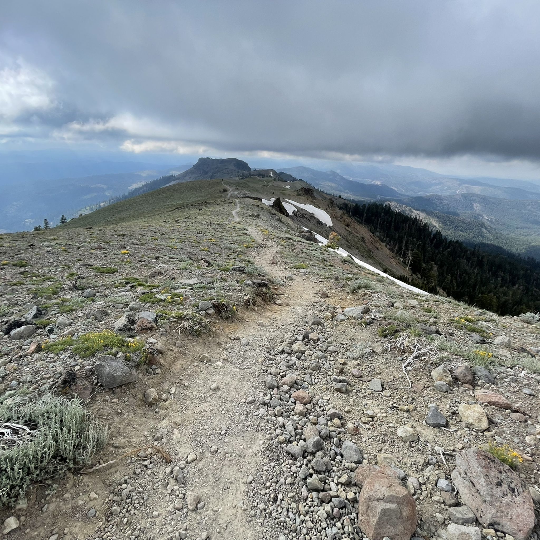
Hiking in Tahoe National Forest
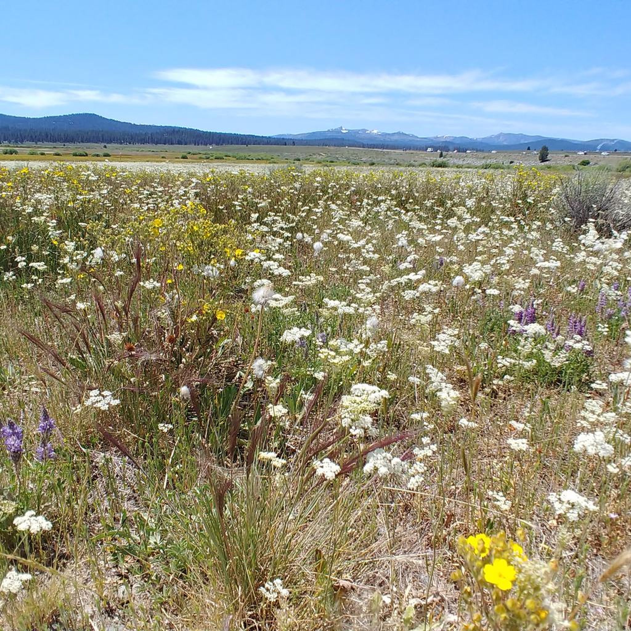
MTB Trails in Tahoe National Forest
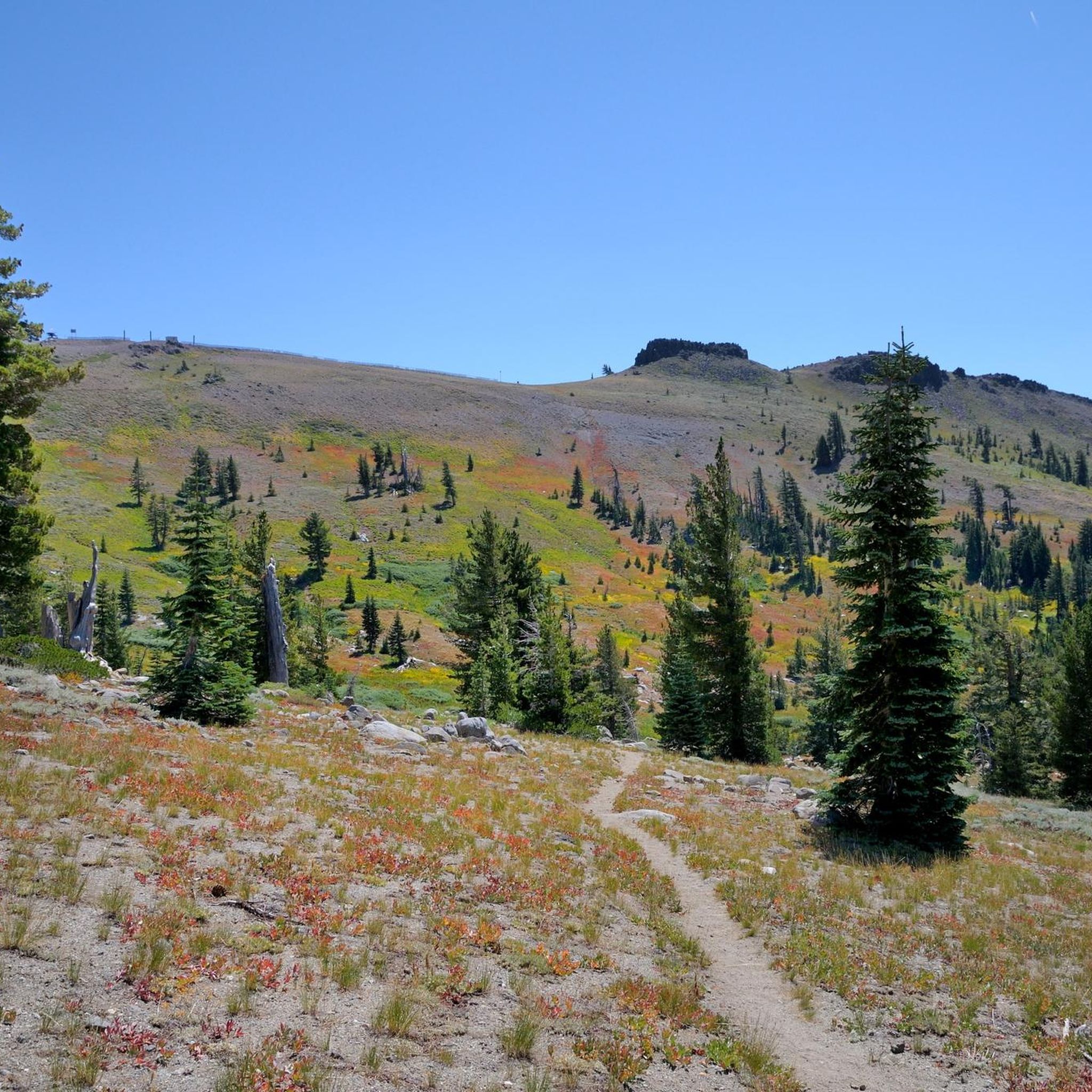
Running Trails in Tahoe National Forest
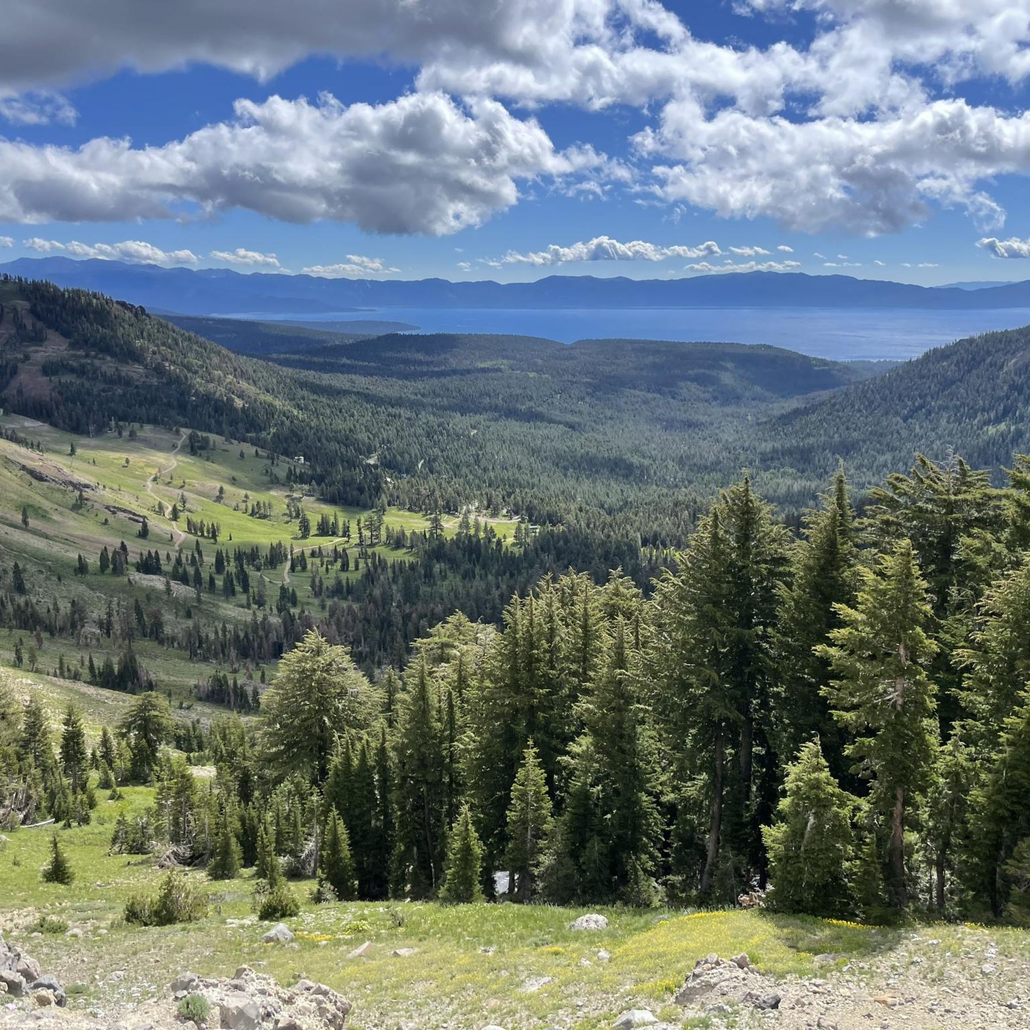
Road Cycling Routes in Tahoe National Forest
Gravel biking in Tahoe National Forest
Other adventures in Tahoe National Forest


Tips from the Community

Lots of mosquitos during the summer, Good amount of shade and places to sit off the ground, however no water. There was some cellular service here though. (on AT&T)
0
0

China Cove is a sandy cove on the southern shore of Donner Lake, perfect for a quick break during your ride. It’s quieter than the main beach, with calm water and nice views. There’s limited parking, but if you’re on two wheels, it’s easy to pull over and soak in the stillness before heading back on the road.
0
0

Serene Lakes are more off-the-beaten-path, so they tend to not be crowded with tourists. Historically, these were Native American fishing spots around trading routes. Obsidian arrowheads and petroglyphs have been found in this area. Mark Twain has visited these lakes, and they were a source of commercial ice blocks that were once used before refrigeration was invented.
0
0

Jackson Meadows Reservoir is a hidden gem, surrounded by views of the Sierra Crest. The water is clear and always invites you in for a swim. There are nine campgrounds in the area so it makes a great place to stop on a multi-day adventure.
0
0
There is a campground here at Gold Lake, so if you are looking for somewhere to break a multi-day trip, you can't get much better than waking up next to the crystal clear water in beautiful surroundings. It's also a wonderful place for a quick swim if you don't have so much time to stop. Do note, there is no water here, so bring all you need for your stay.
0
0

There is a cool section of the trail here where you pass under some train tracks that follow along Cold Creek. This area, known as Horseshoe Bend because of the bend in the train tracks, can be quite scenic, especially if you enjoy train spotting!
0
0
This is a fantastic place to stop to admire the craggy peaks of Sierra Buttes. Do note that the Golden Lake Highway between here and Graeagle is closed during the winter, so a ride along here is best enjoyed during the summer months only.
0
0
Frequently Asked Questions
How many touring cycling routes are available in Tahoe National Forest?
Tahoe National Forest offers a wide variety of touring cycling routes, with over 80 options recorded on komoot. These routes cater to different skill levels, including 13 easy, 34 moderate, and 39 difficult trails, ensuring there's something for every cyclist.
What kind of terrain can I expect on touring cycling routes in Tahoe National Forest?
The terrain in Tahoe National Forest is incredibly diverse, ranging from 1,500 feet in river canyons to over 9,000 feet on mountain peaks. You'll encounter varied landscapes including mountain chaparral, mixed conifer forests, and red fir zones. Routes can include easy paved paths like sections of the Truckee River Legacy Trail, as well as challenging multi-hour rides with significant elevation gains on gravel roads and forest trails.
Are there any family-friendly touring cycling routes in the area?
Yes, for families looking for an easier ride, the 2.1-mile route around Serene Lake is a great option. It's an easy trail that takes about 12 minutes to complete, offering pleasant views of the lake. The Truckee River Legacy Trail, though not listed as a specific komoot route here, is also known for its paved, family-friendly sections.
What are some notable natural features or landmarks I might see while cycling?
Tahoe National Forest is rich in natural beauty and historical sites. Along your rides, you might encounter picturesque lakes such as Loch Leven Lakes or Five Lakes. Scenic viewpoints like Picnic Rock and Point Mariah Lookout offer panoramic views. You could also pass historical sites like the Historic Donner Pass Summit, which is significant for the transcontinental railroad and the Donner Party's history.
Are there any loop routes for touring cyclists?
Absolutely. Many touring cyclists enjoy loop routes for a comprehensive experience. A moderate option is the Cold Stream Road to South Shore Drive loop, an 11.0-mile path traversing varied terrain near the Truckee River. For a more challenging ride, consider the North Star to Tahoe Rim Trail gravel ride loop, which is 32.1 miles long and leads through stunning mountain landscapes.
What do other touring cyclists say about their experience in Tahoe National Forest?
The touring cycling routes in Tahoe National Forest are highly rated by the komoot community, with an average score of 4.2 stars from over 10 reviews. More than 900 touring cyclists have used komoot to explore the varied terrain, often praising the majestic lakes, towering mountains, and river canyons that define the region's scenic beauty.
Are there any challenging long-distance touring routes?
For experienced touring cyclists seeking a challenge, Tahoe National Forest offers several demanding routes. The Yuba Pass & the Golden Lake Highway loop from Sierra City is a difficult 53.8-mile route with significant elevation changes. Another challenging option is the 34.9-mile route to Jackson Meadows Reservoir & Webber Lake from the CA 89, which features challenging climbs and rewarding views.
What is the best time of year for touring cycling in Tahoe National Forest?
Summer is an excellent time for touring cycling in Tahoe National Forest, as the weather is generally warm and the forest comes alive with vibrant wildflower displays. However, due to the varied elevations, conditions can change. Lower elevation routes may be accessible earlier or later in the season. Always check local weather and trail conditions before heading out, especially in spring or fall when snowmelt or early snow can affect higher passes.
Can I bring my e-bike on the trails in Tahoe National Forest?
Yes, Tahoe National Forest is generally e-bike friendly. Both motorized and non-motorized trails and roads are open to e-bikes. There are even 35 miles of designated single track available for Class-1 pedal-assisted e-bikes. This allows for greater accessibility and enjoyment of the forest's extensive network of roads and trails.
Are there opportunities for wildlife spotting while cycling?
With over 290 animal species and more than 1,000 plant species, Tahoe National Forest offers rich wildlife viewing opportunities. Cyclists might spot various birds, deer, and other forest creatures, especially in quieter areas or during early morning and late afternoon rides. The diverse vegetation zones, from mountain chaparral to mixed conifer, support this wide array of wildlife.
What are the typical elevation changes on routes in Tahoe National Forest?
Elevation changes vary significantly across Tahoe National Forest, reflecting its diverse mountainous terrain. Routes can range from relatively flat paths with minimal elevation gain, such as the Serene Lake route with only 12 meters of ascent, to challenging rides like the Yuba Pass & the Golden Lake Highway loop, which features over 1,700 meters of climbing. Be prepared for varied ascents and descents depending on your chosen route.
Most popular routes in Tahoe National Forest
Most popular attractions in Tahoe National Forest

Get inspired with the komoot mobile app


Explore more
Browse the best Cycling routes in other regions.
