The best MTB trails in Tahoe National Forest
4.7
(59)
2,027
riders
119
rides
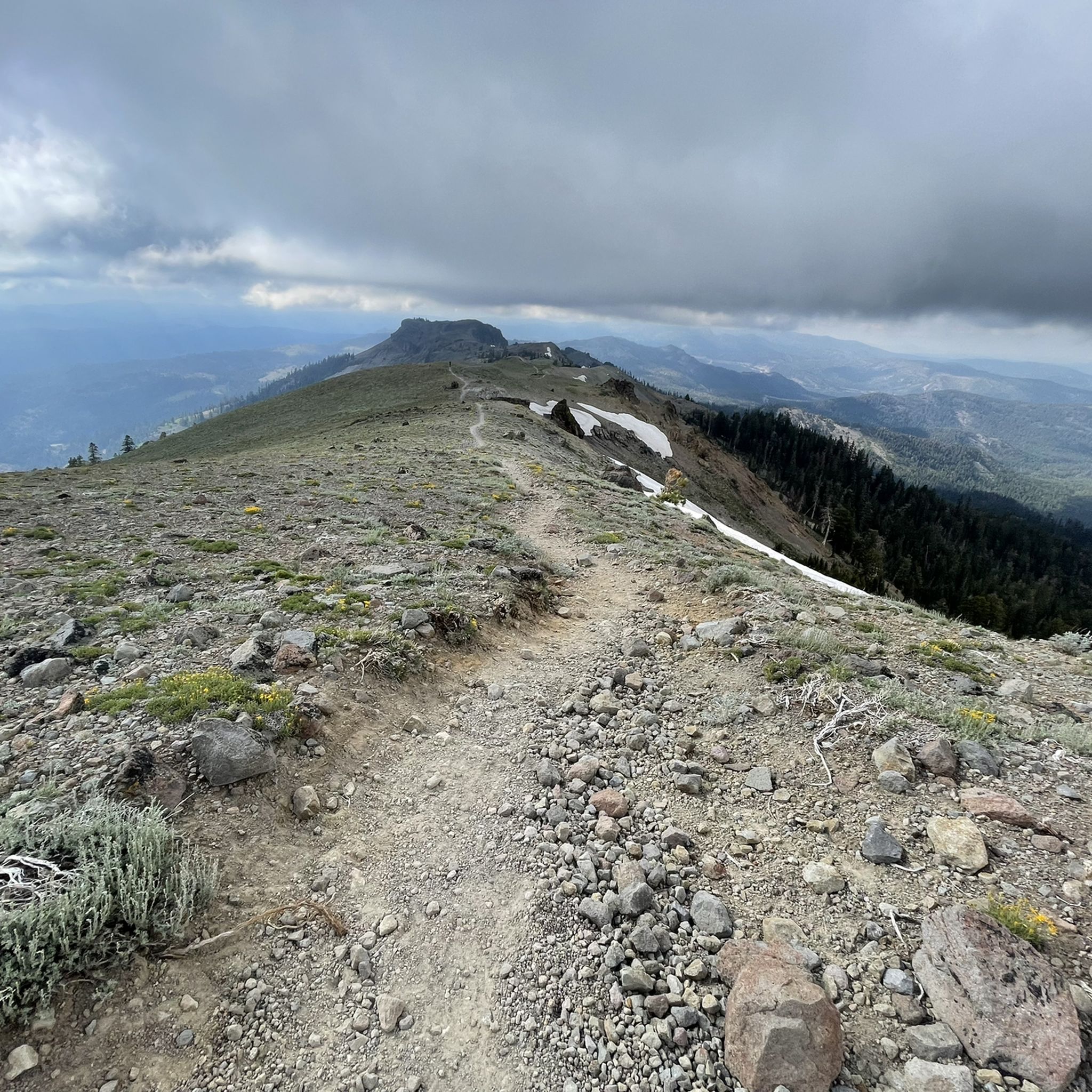
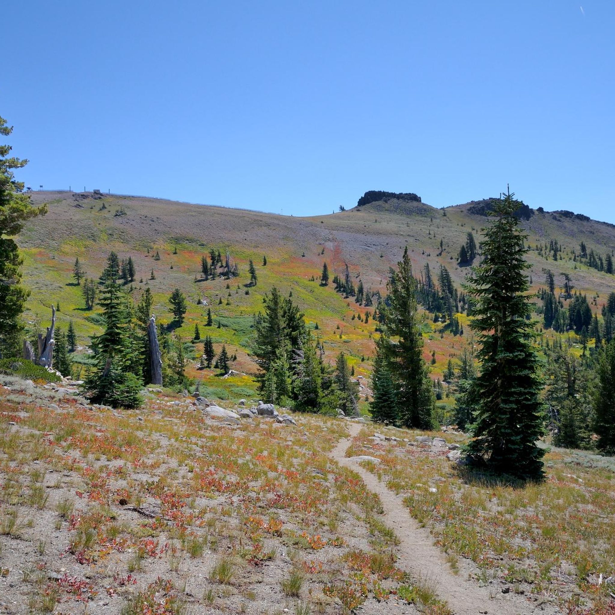
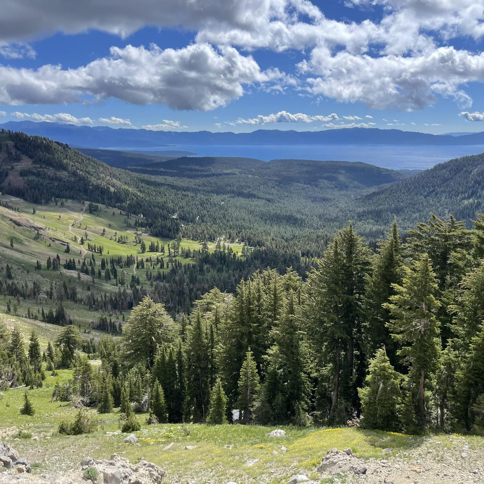
Mountain biking in Tahoe National Forest offers diverse terrain across its approximately 850,000 acres in California's northern Sierra Nevada mountains. The landscape features towering mountains, granite bedrock canyons, and dense forests, with elevations ranging from 1,500 feet to over 9,000 feet. This varied topography provides extensive opportunities for mountain bikers, from mellow singletracks to challenging climbs and descents. The region is characterized by numerous alpine lakes, rivers, and a mix of conifer and pine forests.
Best mountain bike trails in Tahoe National Forest
- The most popular mountain bike trail is Downieville Classic (Shuttle Ride), an easy 15.3 miles (24.7 km) trail that takes 1 hour 36 minutes to complete. This route is part of the renowned Downieville area, known for its exhilarating descents.
- Another top favourite among local mountain bikers is Hole in the Ground Loop, a difficult 15.7 miles (25.3 km) path. This advanced ride features varied terrain and significant elevation changes through forested areas.
- Local mountain bikers also love the Big Chief and Sawtooth Trail Loop, a 20.7 miles (33.3 km) trail leading through high mountain forests and offering panoramic views, often completed in about 2 hours 54 minutes.
- Mountain biking in Tahoe National Forest is defined by towering mountains, granite bedrock canyons, and extensive pine and conifer forests. The network offers options for all ability levels, with 10 easy, 57 moderate, and 40 difficult mountain bike trails available.
- The routes in Tahoe National Forest are highly rated by the komoot community with an average score of 4.8 stars from over 50 reviews. More than 1900 mountain bikers have used komoot to explore Tahoe National Forest's varied terrain.
Last updated: July 7, 2026
67.9km
06:30
1,690m
1,180m
Embark on a rugged mountain biking expedition through the remote Sierra Nevada on the Bowman Lake Road and Meadow Lake Road route. This difficult trail offers a true test of endurance, spanning 42.2 miles (67.9 km) with a substantial 5545 feet (1690 metres) of elevation gain, typically taking around 6 hours and 30 minutes. You'll navigate dirt and gravel roads, some of which are quite rocky and unpaved, all while enjoying panoramic views of Bowman Lake and the serene beauty of numerous smaller lakes and streams.
To make the most of your ride, plan your visit between late spring and fall, when the trails are clear of snow, usually by late May. Be aware that cell service is generally nonexistent in this remote part of the Tahoe National Forest, so downloading your maps in advance is crucial. The route also serves as an access point to various rustic campgrounds and the non-motorized trails within the Grouse Lakes Vehicle Closure area.
This trail is a standout for its immersive natural beauty and the varied terrain it presents within the Tahoe National Forest. It's not just a ride; it's an exploration of a wild landscape, offering access to many popular reservoirs and a chance to truly disconnect. The challenge of the journey is matched only by the consistent display of natural splendor, making it a memorable experience for advanced riders.
5.0
(6)
213
riders
24.7km
01:36
100m
1,360m
The Downieville Classic (Shuttle Ride) is an epic mountain biking descent through the Sierra Nevada, offering a diverse and challenging experience. You'll start high in rocky alpine landscapes, transition into dense pine forests with loamy dirt, and eventually ride alongside the rushing Lavezzola Creek. The trail features everything from flowy singletrack on the Sunrise Trail to the rugged rock gardens and creek crossings of the Butcher Ranch Trail, providing a visual treat through multiple ecosystems.
This 15.3-mile (24.7 km) route, with a net elevation gain of 315 feet (96 metres) over approximately 1 hour and 36 minutes, is rated easy due to its shuttle accessibility, but the technical demands are significant. It's explicitly not recommended for beginner riders, requiring good fitness and advanced skills. Plan your visit from late spring to fall, as snow can affect higher elevations earlier in the season, and always confirm shuttle availability and trail conditions.
This trail is the centerpiece of the annual Downieville Classic race, an event that helped establish Downieville as a premier mountain biking destination. The route itself often follows historic Gold Rush-era paths, adding a layer of history to your ride. It's widely considered a must-ride for serious mountain bikers, offering one of the longest and most demanding downhill experiences in the nation.

Sign up for free
5.0
(1)
82
riders
33.3km
02:55
610m
610m
The Big Chief and Sawtooth Trail Loop offers a diverse mountain biking experience through the stunning Tahoe National Forest. You'll navigate technical rock features and flowy singletrack on the Big Chief Trail, which was purpose-built for mountain biking, before transitioning to the more mellow Sawtooth Trail. Along the way, enjoy expansive views of the Sierra Crest ridge and the Truckee River canyon, with impressive rock formations like "Nathaniel's Bench" adding to the scenic journey.
Planning your ride, be aware that while the loop is a difficult 20.7 miles (33.3 km) with 2004 feet (611 metres) of elevation gain, taking about 2 hours and 54 minutes, many riders choose to shuttle the route to focus on the long downhill sections. The trail is easily accessible from Truckee, making it a popular full-day outing. The upper Big Chief Trail has black diamond sections, so it's best suited for intermediate to advanced riders, though ride-arounds exist for most challenging features.
This trail is notable for being a relatively new addition, completed in 2018, and is a testament to quality singletrack design. It combines challenging technical sections with fast, flowy descents, all set against a backdrop of secluded forests, summit meadows, and views of Donner Lake. The variety of terrain and consistent scenic vistas make it a standout option for mountain bikers in the region.
62
riders
33.6km
02:45
460m
1,730m
The Downieville Downhill: Big Boulder Route offers an exhilarating mountain biking experience, weaving through a mix of open, rocky alpine landscapes and dense, loamy forests. You'll encounter everything from fast, flowy singletrack to highly technical, loose, and rocky sections, including impressive rock slabs reminiscent of Moab. The highlight is undoubtedly the house-sized Big Boulder, which the trail travels over, providing a unique and memorable feature on this advanced ride.
This 20.9-mile (33.6 km) route, with 1515 feet (462 metres) of elevation gain, is rated moderate and typically takes around 2 hours and 44 minutes. It's primarily a downhill ride, but be ready for a significant doubletrack and OHV climb from the Pauley Creek intersection to reach the Big Boulder trail's start. Shuttle access is common for this area, and it's best suited for advanced riders seeking a challenging and continuous descent.
What makes this route stand out is its reputation as the best descent towards Downieville from the Packer Saddle shuttle drop-off, offering a distinct backcountry feel compared to the classic Downieville Downhill. It swaps out sections like Butcher Ranch for the Big Boulder Trail, often utilizing the Second Divide Trail, making it a longer and more physically demanding ride that truly tests your skills.
5.0
(2)
49
riders
25.3km
02:31
590m
600m
The Hole in the Ground Loop offers a quintessential high-country alpine mountain biking experience near Donner Pass. You'll traverse diverse terrain, from dense coniferous forests to exposed granite bedrock, with sections winding through boulder fields and past alpine ponds. Keep an eye out for the beautiful Lower Lola Montez Lake and the expansive views from Andesite Ridge, which provide a stunning backdrop to this challenging ride.
Planning your visit requires attention to seasonality; the trail is best ridden from late July to mid-October to avoid snow and downed trees. This 15.7-mile (25.3 km) loop involves a substantial 1940 feet (591 metres) of elevation gain, taking approximately 2 hours and 31 minutes for skilled riders. Given its difficult rating, it's not for beginners, and you should be prepared for technical sections and potential hike-a-bike.
This route stands out as one of the Sierra Nevada's premier technical singletrack rides, celebrated for its unique blend of physical challenge and varied scenery. The geology of the area, dominated by exposed granite, contributes to the trail's rocky and root-filled character, making it a true test of skill. It's a demanding yet highly rewarding adventure for advanced mountain bikers.
Get access to more routes and recommendations from other explorers.
Sign up for free
Already have an account?
Our route recommendations are based on thousands of hikes, rides, and runs completed by other people on komoot.
Start today with a free account
Your next adventure awaits.
Login or Signup
Popular around Tahoe National Forest

American Discovery Trail — Walking from sea to shining sea

Pacific Crest Trail from Mexico to Canada – 4,200 kilometres of wilderness

Tahoe Rim Trail — Hiking along the Jewel of the Sierra

Circumnavigating Lake Tahoe in the Sierra Nevada – Tahoe Rim Trail
Hiking in Tahoe National Forest
Cycling in Tahoe National Forest
Running Trails in Tahoe National Forest
Road Cycling Routes in Tahoe National Forest
Gravel biking in Tahoe National Forest
Other adventures in Tahoe National Forest


Tips from the Community

Lower Big Chief is easier than upper but still fun and challenging. A great place to have fun and build skills. Bring full suspension and skills.
0
0

There are two parts to Big Boulder, the climb up and the downhill. The climb is loose and steep in places, but it's worth it. With incredible views of Sierra Butes, it's a great alternative to the classic Downieville Downhill.
0
0

The Big Chief Trail offers seven miles of thrilling flow through diverse terrain, including plenty of jumps, drops, and a log ride. It's one of the most iconic trails in the region, with expansive views of the sierra crest and Squaw Valley.
0
0

Sawtooth Trail meanders through the Tahoe National Forest. It leads through beautiful pine forest and features multiple breathtaking outlooks.
0
0

Great place to stop for a cool down swim and if you want a fun history lesson look up the lake's namesake. Miss Lola Montez lead and incredibly interesting life!
0
0
Excellent views of Castle Peak and the surrounding mountains from here. It's also right next to the spur trail to the top of Andesite Peak if you're feeling energetic.
0
0

Meadow Road is a great trailhead along the PCT. Next to the reliable water source of Lacey Creek you will find some nice campspots.
3
0

This is the first singletrack of an epic descent down to Downieville. A great warm-up program!
1
0
Frequently Asked Questions
How many mountain bike trails are available in Tahoe National Forest?
Tahoe National Forest offers a wide variety of mountain biking experiences with over 100 trails. Specifically, there are 10 easy, 57 moderate, and 40 difficult mountain bike trails to explore, catering to all skill levels.
Are there mountain bike trails suitable for beginners in Tahoe National Forest?
Yes, there are 10 easy mountain bike trails in Tahoe National Forest. A great option for those looking for a less strenuous ride is the Downieville Classic (Shuttle Ride), which is 15.3 miles (24.7 km) long and offers an enjoyable experience.
What are some challenging mountain bike trails in Tahoe National Forest?
For experienced riders seeking a challenge, Tahoe National Forest features 40 difficult mountain bike trails. The Hole in the Ground Loop is a popular difficult route, spanning 15.7 miles (25.3 km) with significant elevation changes through forested areas. Another demanding option is the Bowman Lake Road and Meadow Lake Road route, which is over 42 miles long with substantial climbing.
Can I find mountain bike trails with great views in Tahoe National Forest?
Absolutely. Tahoe National Forest is renowned for its stunning vistas. Trails often lead through high mountain forests and offer panoramic views of the Sierra Nevada. The Big Chief and Sawtooth Trail Loop, for instance, provides extensive views across the landscape. You can also find breathtaking scenery from peaks like Castle Peak and the Sierra Buttes, which are accessible via various trails.
Are there any loop mountain bike trails in Tahoe National Forest?
Yes, many trails in Tahoe National Forest are designed as loops, allowing you to start and end at the same point. The Hole in the Ground Loop and the Big Chief and Sawtooth Trail Loop are excellent examples of popular loop routes that offer diverse terrain and scenery.
What do other mountain bikers enjoy most about mountain biking in Tahoe National Forest?
The mountain biking experience in Tahoe National Forest is highly rated by the komoot community, with an average score of 4.8 stars from over 50 reviews. Riders frequently praise the diverse terrain, from mellow singletracks to challenging descents, and the breathtaking natural beauty, including towering mountains, granite bedrock canyons, and extensive forests.
What natural features or landmarks can I see along the mountain bike trails?
Tahoe National Forest is rich in natural beauty and historical significance. Along the trails, you might encounter features like the Truckee River Trail, offering scenic riverside riding. Other notable landmarks in the region include Historic Donner Pass Summit, with its historical significance, and various mountain passes like Castle Pass, which provide stunning views.
Is e-biking allowed on mountain bike trails in Tahoe National Forest?
E-biking is permitted on over 2,000 miles of roads, 195 miles of Off-Highway Vehicle (OHV) trails, 190 miles of single-track motorcycle trails, and an additional 35 miles of designated single track for Class-1 pedal-assisted e-bikes within Tahoe National Forest. However, it's important to note that e-bikes are restricted on trails not open to motorized use, such as most of the Tahoe Rim Trail.
Are there family-friendly mountain bike trails in Tahoe National Forest?
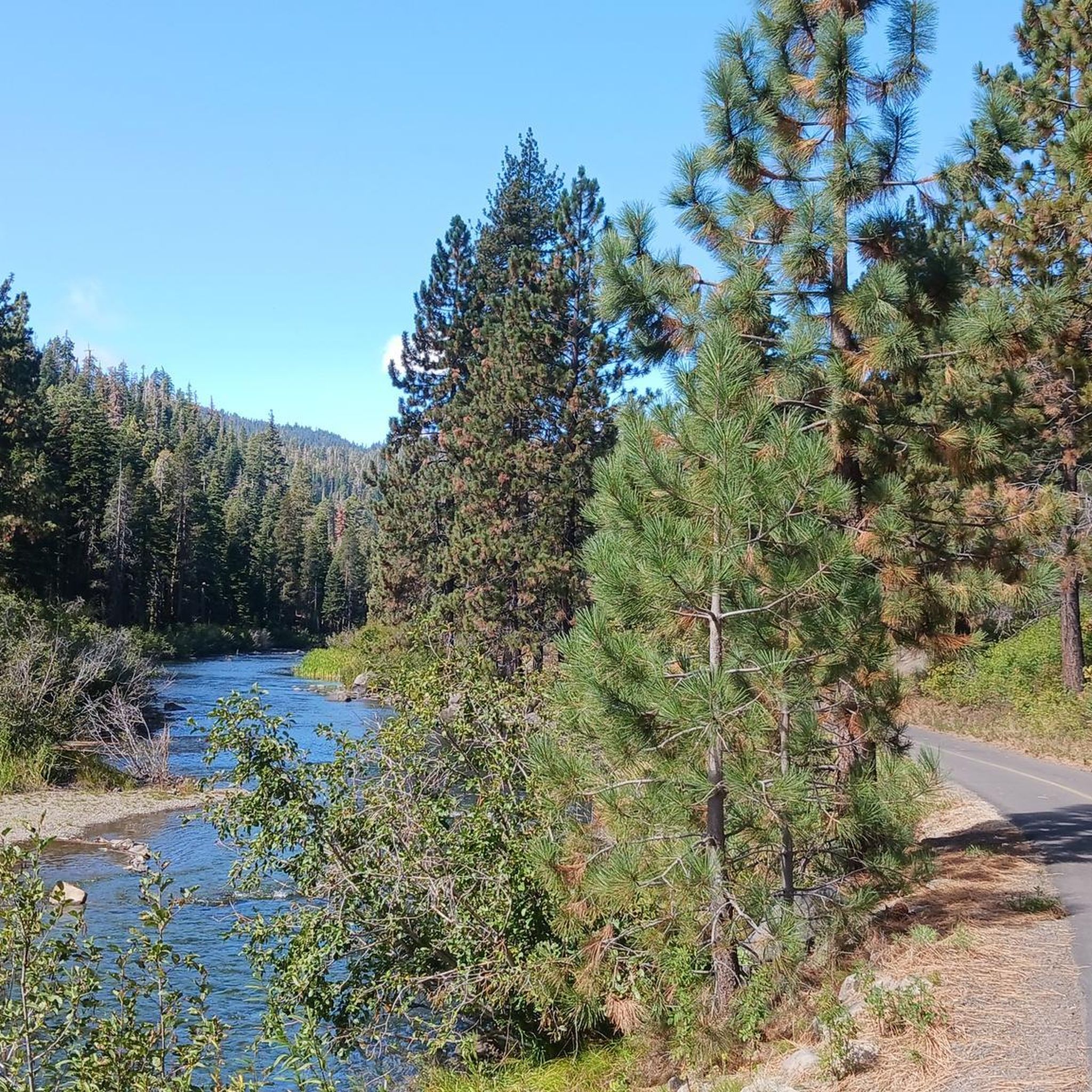
While the guide focuses on more challenging routes, the Tahoe National Forest region does offer family-friendly options. The Truckee River Trail, for example, is a popular, flat, and paved path suitable for families and provides easy access to the Truckee River.
What is the best time of year for mountain biking in Tahoe National Forest?
The best time for mountain biking in Tahoe National Forest is typically from late spring through early fall (May to October), when the snow has melted from higher elevations and trails are dry. Summer offers warm weather, while fall provides cooler temperatures and beautiful autumn foliage. Always check local conditions and weather forecasts before heading out.
Where can I find parking for mountain bike trailheads in Tahoe National Forest?
Parking is generally available at designated trailheads throughout Tahoe National Forest. Specific parking information can often be found on individual trail pages or through local forest service resources. It's advisable to check the details for your chosen route in advance, especially for popular areas like Downieville or trails near Truckee.
Are there any trails that follow rivers or lakes in Tahoe National Forest?
Yes, Tahoe National Forest features numerous lakes and rivers, and some trails offer scenic routes alongside them. The Truckee River Trail is a well-known example that follows the Truckee River. The region also boasts hundreds of lakes and reservoirs, including Donner Lake and Boca Reservoir, which provide beautiful backdrops for rides.
Most popular routes in Tahoe National Forest
Most popular attractions in Tahoe National Forest

Get inspired with the komoot mobile app


Explore more
Browse the best MTB trails in other regions.
