The best road cycling routes in Tahoe National Forest
4.5
(51)
3,598
riders
60
rides
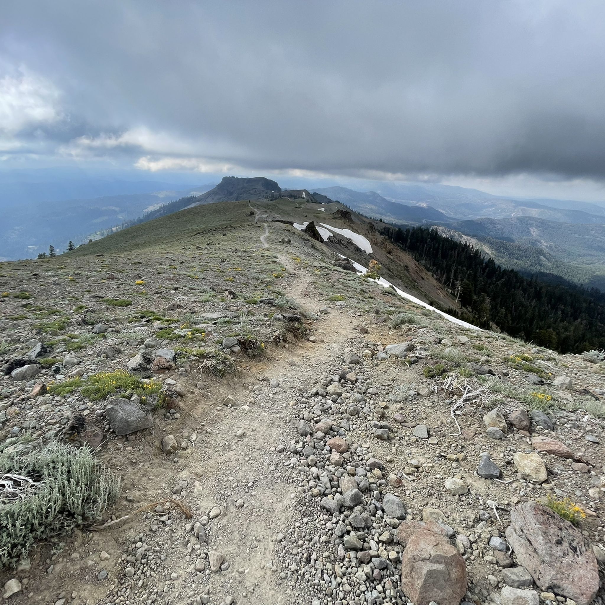
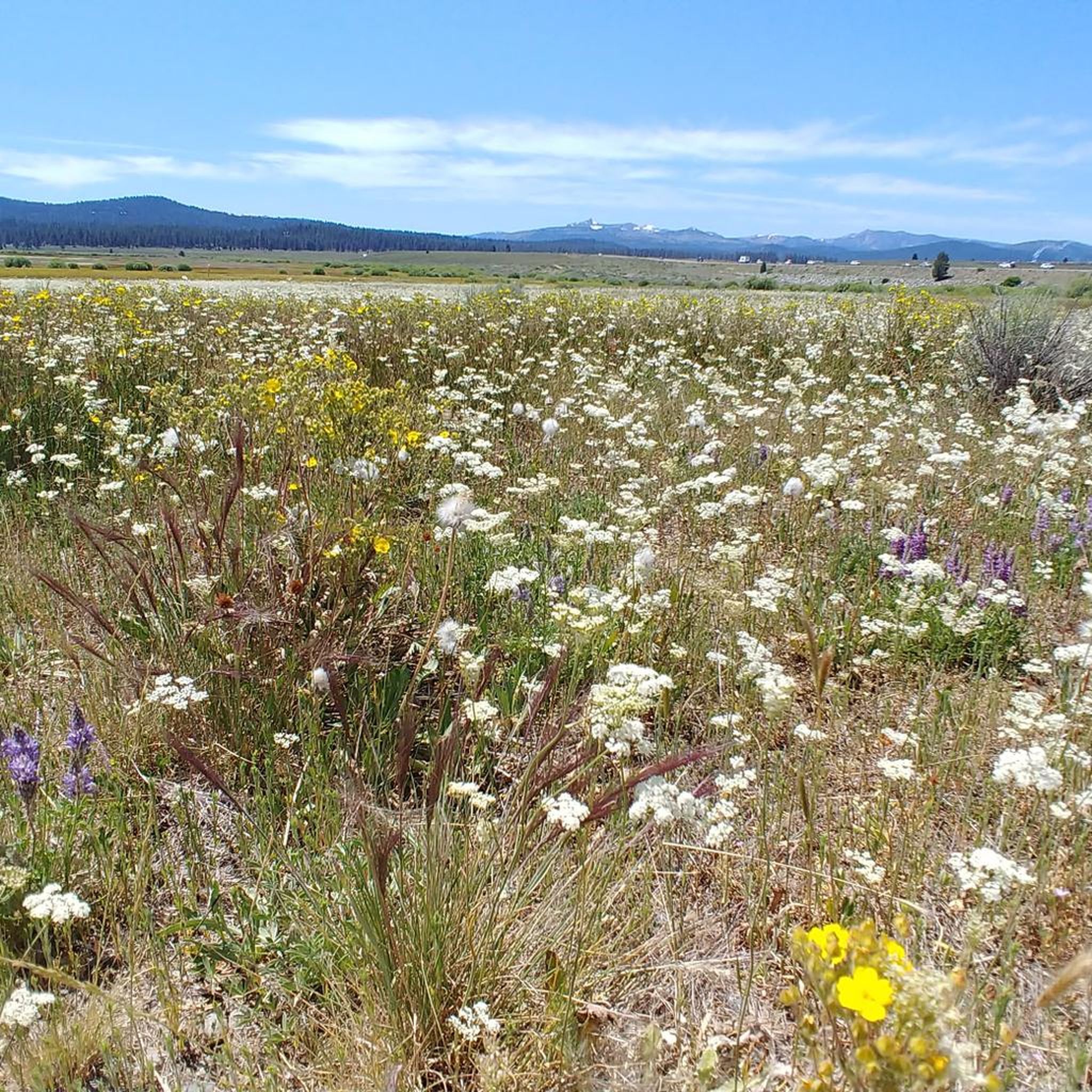
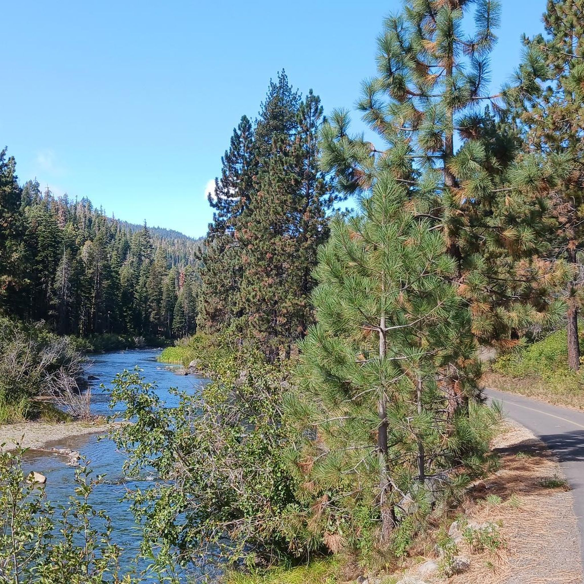
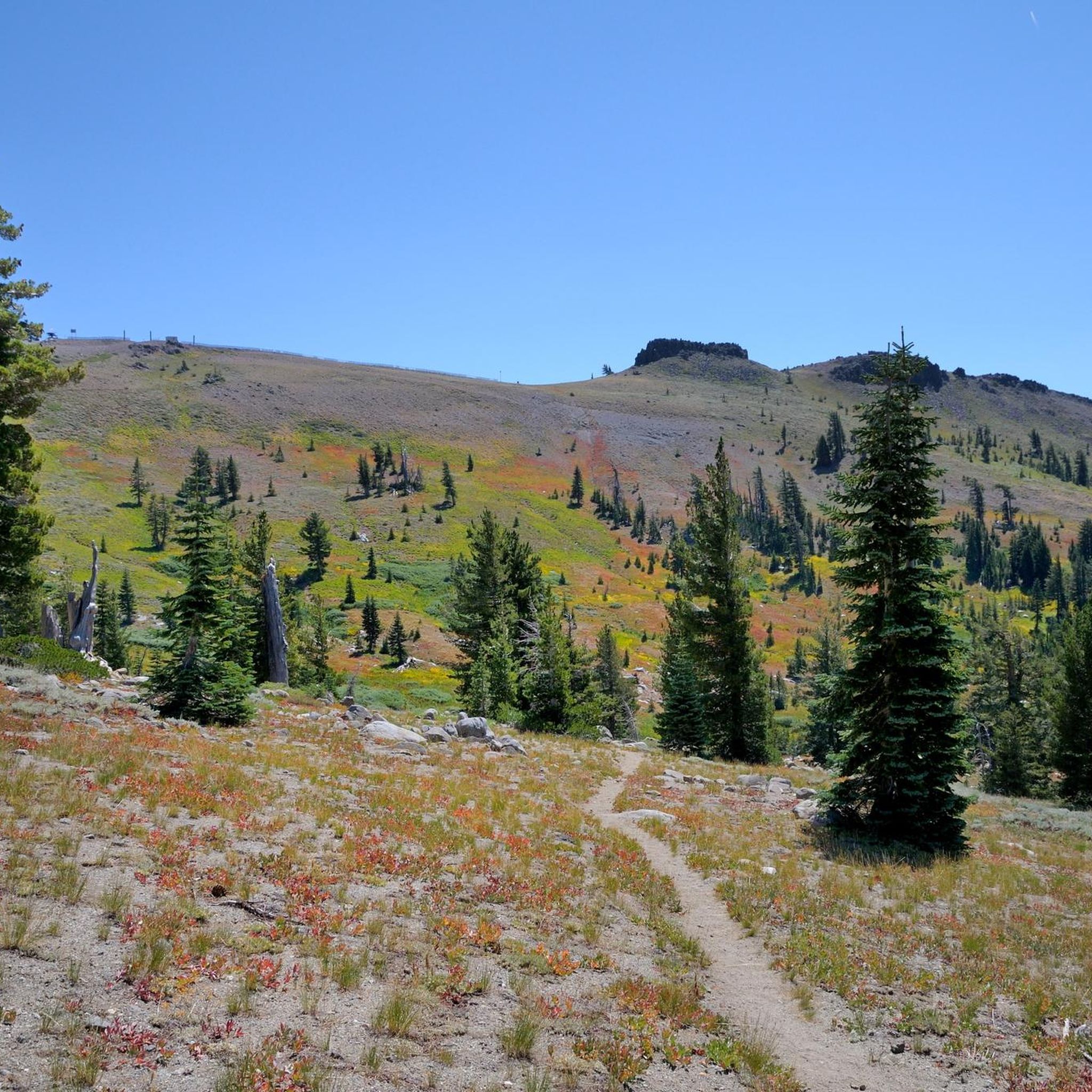
Road cycling in Tahoe National Forest offers diverse terrains across its 850,000 acres in the Sierra Nevada mountains. The region features significant elevation changes, with many routes climbing a mile above sea level. Cyclists can expect a landscape characterized by granite peaks, alpine lakes, and extensive pine forests, providing varied challenges and scenic backdrops. The forest's topography ranges from lower river canyons to high mountain passes, making it suitable for different levels of road cycling.
Best road cycling routes in…
Last updated: July 7, 2026
5.0
(6)
726
riders
145km
06:44
1,550m
1,540m
The Lake Tahoe Century loop from Truckee offers a truly epic road cycling adventure, wrapping you in stunning Sierra Nevada scenery. You'll pedal past the iconic Emerald Bay, with its…
21
riders
86.4km
04:36
1,720m
1,720m
This difficult 53.7-mile road cycling loop from Sierra City tackles Yuba Pass and the Golden Lake Highway, offering 5633 feet of climbing.

Sign up for free
1
riders
81.9km
04:58
2,190m
2,190m
Embark on a challenging road cycling adventure around French Meadows Reservoir, a difficult 50.9 miles (81.9 km) route that demands 7180 feet (2188 metres) of elevation gain. This ride, estimated…
1
riders
58.7km
02:53
900m
900m
This moderate 36.5-mile road cycling route from Downieville offers scenic views of the North Yuba River and the dramatic Sierra Buttes.
5.0
(2)
152
riders
85.9km
04:07
1,140m
1,140m
Hard road ride. Very good fitness required. Mostly well-paved surfaces and easy to ride.
Get access to more routes and recommendations from other explorers.
Sign up for free
Already have an account?
Our route recommendations are based on thousands of hikes, rides, and runs completed by other people on komoot.
Start today with a free account
Your next adventure awaits.
Login or Signup
Popular around Tahoe National Forest

American Discovery Trail — Walking from sea to shining sea

Pacific Crest Trail from Mexico to Canada – 4,200 kilometres of wilderness

Tahoe Rim Trail — Hiking along the Jewel of the Sierra

Circumnavigating Lake Tahoe in the Sierra Nevada – Tahoe Rim Trail
Hiking in Tahoe National Forest
MTB Trails in Tahoe National Forest
Cycling in Tahoe National Forest
Running Trails in Tahoe National Forest
Gravel biking in Tahoe National Forest
Other adventures in Tahoe National Forest


Tips from the Community

Fantastic views. Unfortunately, completely overcrowded.
0
0

Brockway Road (Highway 267) offers a challenging climb heading out of Truckee. The first few miles through Martis Valley are mostly flat, giving you a gentle warm-up. Then comes a steady ascent to Brockway Summit at 7,179 feet, 1,400 feet of elevation gain over 8.5 miles. A solid ride if you're looking to mix endurance with alpine scenery.
0
0
Connecting the Truckee River Legacy Trail and downtown Truckee, the bridge crosses the river and leads you to great cafés like Dark Horse Coffee Roasters. In the other direction, it takes you to Truckee River Regional Park.
0
0

The Bayview Campground would offer a good parking lot. However, it is now closed until Spring 2025. Maybe one has to consider parking along the street during day trips.
0
0

There is a short accessible path to the overlook from Highway 50 with restrooms and three stone benches. You can leave the crushed gravel path to the overlook and climb up on the rocks of the shoreline to get a better view. This spot is well worth the stop!
0
0

Truckee Downtown has lots of character, bars, restaurants and a bus station. If you want to stay in Truckee, this is also the location to go. The post office is just around the corner. The trolley system will take you to the grocery shopping district for free.
0
0
Sierra City is a popular spot for PCT hikers to resupply or to get a package. The variety of the general store is not that great, so you might send a package. The general store is accepting packages. The Red Moose Café has excellent breakfast and lunch. Next to the church you will find some public restrooms with showers and power outlets.
1
0
Frequently Asked Questions
How many road cycling routes are available in Tahoe National Forest?
Tahoe National Forest offers over 50 road cycling routes, catering to various skill levels. You'll find everything from easy, flat paths to challenging, long-distance climbs through diverse terrains.
What kind of terrain and elevation can I expect on road cycling routes in Tahoe National Forest?
Road cycling in Tahoe National Forest features diverse terrains and significant elevation changes. Many routes climb a mile above sea level, with challenging ascents like the Kingsbury Grade. You'll encounter granite peaks, alpine lakes, and extensive pine forests, offering varied challenges and breathtaking scenic backdrops.
Are there any family-friendly or easy road cycling routes in Tahoe National Forest?
Yes, there are several easier options suitable for families or those seeking a more relaxed ride. The Truckee River Trail and the Historic Truckee River Bike Path are popular, flat, and well-paved, providing easy access to the river. The Serene Lake Loop is another easy, mostly paved route with minimal elevation gain.
What are some challenging road cycling routes for experienced riders?
For experienced riders seeking a challenge, Tahoe National Forest offers several difficult routes. Consider the Lake Tahoe Century loop from Truckee, a 90.2-mile route with significant elevation gain. Another demanding option is the Yuba Pass & the Golden Lake Highway loop from Sierra City, which features challenging climbs and stunning vistas.
What scenic attractions and landmarks can I see along the road cycling routes?
Many routes offer stunning views of the region's natural beauty and historical sites. You can cycle past pristine lakes like Donner Lake, Boca Reservoir, and Jackson Meadows Reservoir. Historical sites such as Historic Donner Pass Summit are also accessible. Routes often provide panoramic vistas of majestic mountains like the Sierra Buttes and Castle Peak.
Are there any road cycling routes that form a loop?
Yes, many road cycling routes in Tahoe National Forest are designed as loops, allowing you to start and end at the same point. Examples include the Lake Tahoe Century loop from Truckee and the Yuba Pass & the Golden Lake Highway loop from Sierra City. The Donner Lake – Lake View Canyon Road loop from Bermgarten Parking is a moderate, shorter loop option.
What is the best time of year for road cycling in Tahoe National Forest?
The best time for road cycling in Tahoe National Forest is typically from late spring through early fall (May to October), when mountain passes are clear of snow and weather conditions are generally favorable. High elevations mean significant snowfall in winter, making many routes inaccessible or hazardous for road biking.
Is parking available at trailheads for road cyclists?
Parking is generally available at various access points and trailheads throughout Tahoe National Forest. Specific parking details can vary by route, but popular starting points like Truckee and Sierra City offer convenient access. For routes like the Donner Lake – Lake View Canyon Road loop, parking is available at locations such as Bermgarten Parking.
Are e-bikes permitted on road cycling routes in Tahoe National Forest?
Yes, e-bikes are permitted on over 2,000 miles of roads and hundreds of miles of trails designated for motor vehicle use within Tahoe National Forest. This allows riders to tackle some of the more challenging climbs and cover greater distances with assistance.
What do other road cyclists enjoy most about road cycling in Tahoe National Forest?
The area is highly rated by the komoot community, with an average score of 4.2 stars from over 7 reviews. Reviewers often praise the diverse terrains, breathtaking forest views, and the challenging yet rewarding climbs. The pristine alpine lakes and majestic mountain backdrops are frequently highlighted as key attractions.
Are there any moderate road cycling routes that offer a good balance of challenge and scenery?
Yes, several moderate routes provide a great experience without the extreme difficulty of the most challenging climbs. The Sierra City & Sierra Buttes Scenic Overlook from Downieville is a moderate 36.5-mile route offering beautiful views. The Donner Lake – Lake View Canyon Road loop is another moderate option, perfect for enjoying the lake scenery.
Most popular routes in Tahoe National Forest
Most popular attractions in Tahoe National Forest

Get inspired with the komoot mobile app


Explore more
Browse the best Road cycling routes in other regions.
