The best running trails around Pitt Lake
4.4
(11)
1,010
runners
88
runs
Jogging routes around Pitt Lake are set within a U-shaped glacial valley, offering diverse landscapes for runners. The region features extensive marshlands, particularly at the southern end, and is bordered by provincial parks with old-growth forests and alpine lakes. Flat dyke trails along the Pitt River and within the Pitt-Addington Marsh Wildlife Management Area provide accessible paths for running, complemented by views of the surrounding Coast Mountains. This area is characterized by its freshwater tidal lake, rugged shoreline, and varied…
Last updated: October 8, 2026
11
runners
6.57km
00:43
20m
20m
Moderate run. Good fitness required. Mostly paved surfaces. Suitable for all skill levels.
8
runners
7.00km
00:43
10m
10m
Moderate run. Good fitness required. Mostly paved surfaces. Suitable for all skill levels.

3
runners
10.4km
01:09
10m
10m
Moderate run. Good fitness required. Mostly paved surfaces. Suitable for all skill levels.
27
runners
Hard run. Very good fitness required. Mostly paved surfaces. Suitable for all skill levels.
6
runners
Moderate run. Good fitness required. Mostly paved surfaces. Suitable for all skill levels.
Get access to more routes and recommendations from other explorers.
Already have an account?
Our route recommendations are based on thousands of hikes, rides, and runs completed by other people on komoot.
Start today with a free account
Your next adventure awaits.

Tips from the Community

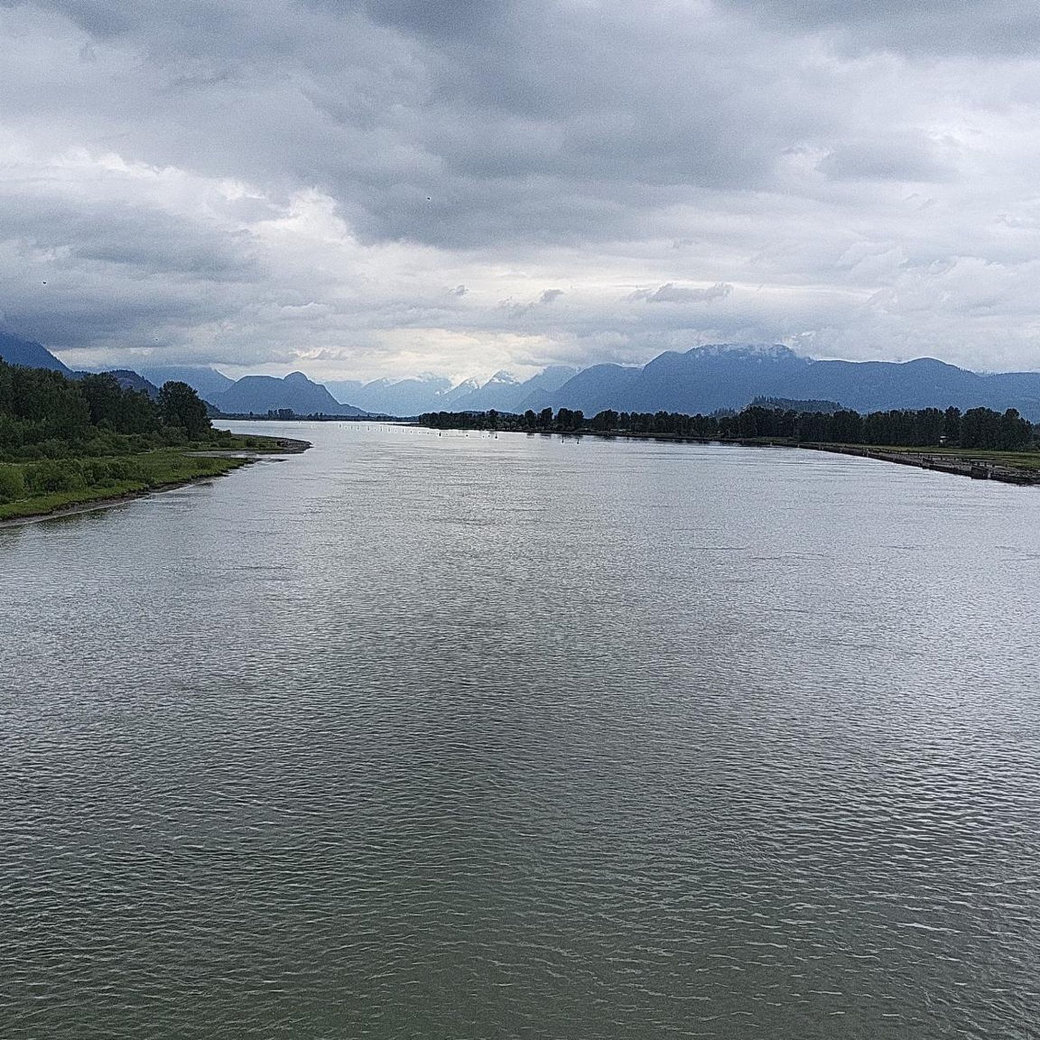
The view opens onto a slow, meandering river cutting through wide-open farmland — a mix of grassy fields, wetland patches, and hedgerows rather than dense forest crowding the banks.
0
0
This brigde was built through community fundraising efforts led by the Colony Farm Park Association, working in partnership with Metro Vancouver, to give walkers and cyclists a direct river crossing within the park's trail network. It serves as a key junction point: crossing it lets visitors extend a walk into a longer loop, linking the western side of the park near the Community Gardens to the eastern Wilson Farm area, rather than backtracking the way they came.
0
0
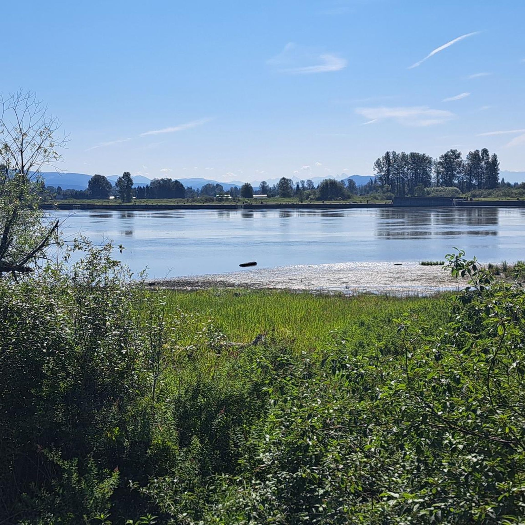
At this southern spot near Pitt River Road, the Coquitlam River opens up and slows down. The water here is wider and calmer than the fast-moving sections further upstream.
0
0
The park is very practical for visitors because it has clean public washrooms and a large, free parking lot. You can pack a lunch to enjoy at one of the many shaded picnic tables or check out the local food trucks that often park nearby.
0
0

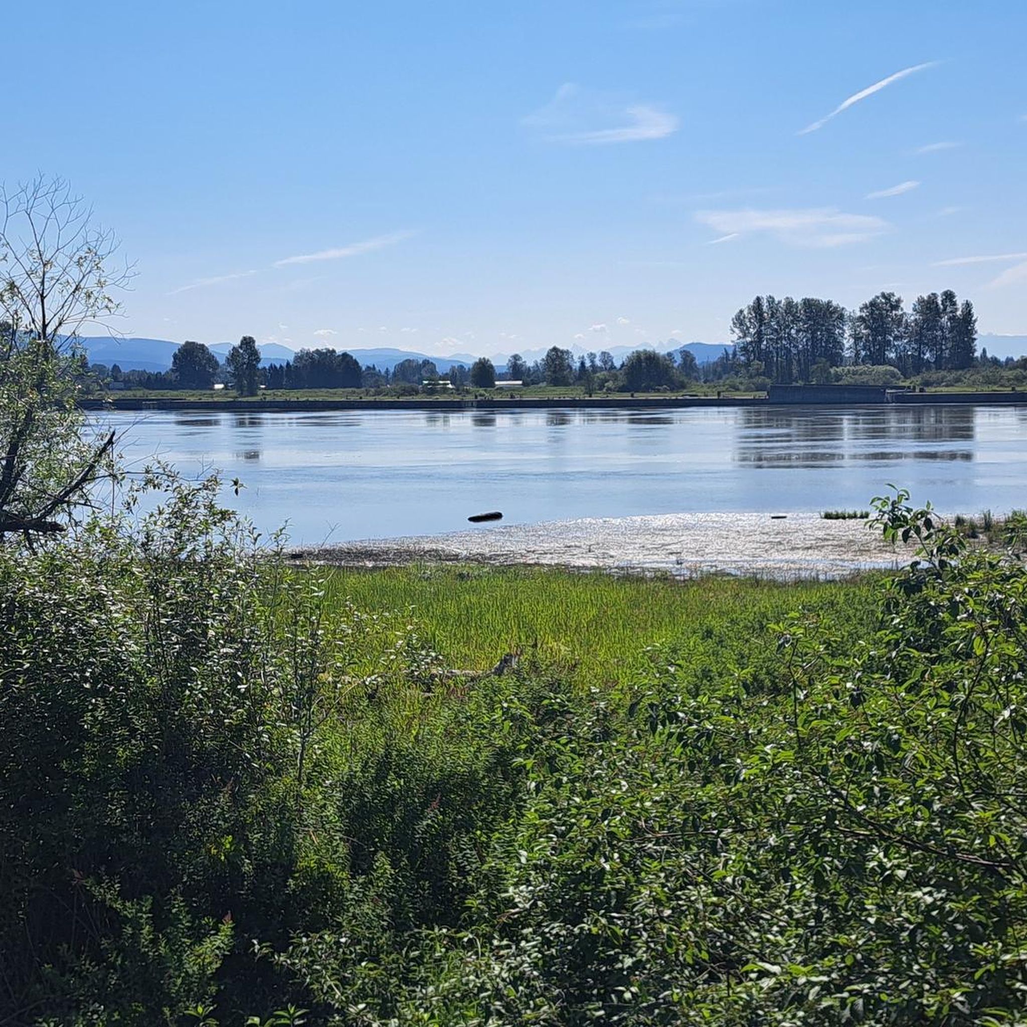
This beautiful river is a major tributary of the Fraser River that flows south from the Garibaldi Ranges, through Pitt Lake, before joining the Fraser River near Port Coquitlam. The lower stretches of the river are tidal, and the surrounding wetlands are home to a rich diversity of wildlife. The river also holds cultural significance for the Kwantlen First Nation, serving as a natural corridor that connects the coastal region with the interior of the province.
0
0

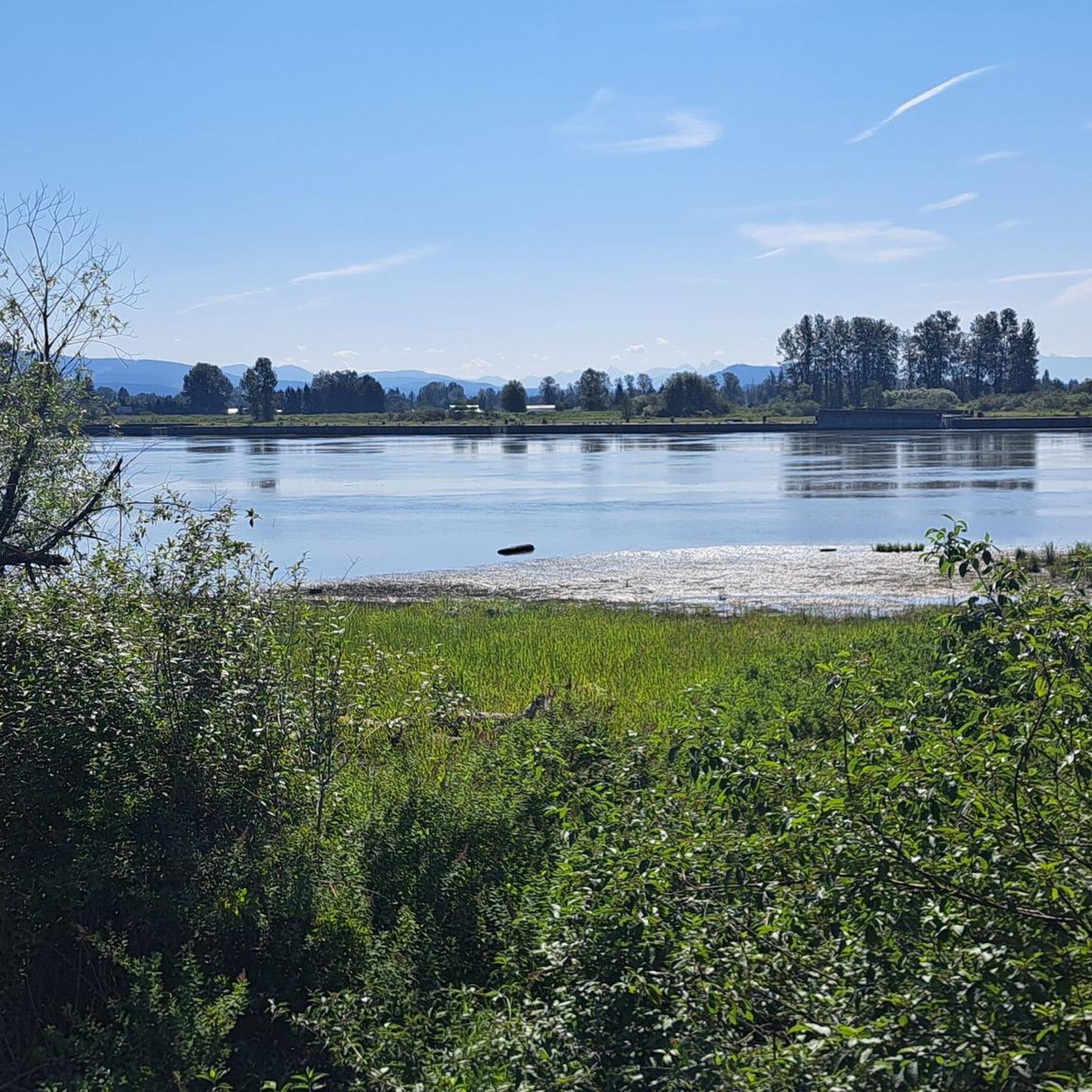
Dedicated in 2019 by the City of Port Coquitlam in recognition of Michael Forrest's contributions to the community and his service on City Council from 2000 to 2018 A third generation Fort Coquitlam resident, Michael has "cherished this view of the Fraser River his whole life, The rivers that were his playground as a child became his workplace as an -lt. Michael continues to be active in the community and can be seen regularly on the water,
0
0
Frequently Asked Questions
How many running routes are available around Pitt Lake?
There are over 100 running routes available around Pitt Lake, catering to various preferences. You'll find a good mix, with 5 easy routes, 76 moderate routes, and 23 more challenging options for experienced runners.
What kind of terrain can I expect on the running trails near Pitt Lake?
The terrain around Pitt Lake is quite diverse. You'll find many flat, accessible dyke trails, especially along the Pitt River and within the Pitt-Addington Marsh Wildlife Management Area, which are perfect for leisurely runs. However, the region is also nestled within a U-shaped glacial valley of the Coast Mountains, so some routes may offer more varied elevation and stunning mountain views.
Are there any easy running routes suitable for beginners around Pitt Lake?
Yes, Pitt Lake offers 5 easy running routes perfect for beginners or those looking for a relaxed pace. Many of the dyke trails provide flat surfaces, making them ideal for an enjoyable and less strenuous run.
Can I find routes with scenic views of the lake or mountains?
Absolutely! Pitt Lake is renowned for its spectacular scenery. Many trails offer breathtaking views of the surrounding Coast Mountains and the lake itself. For example, the Pitt River Viewpoint loop from Douglas Island provides excellent vistas, and viewing platforms are available in certain areas to enhance your experience.
Are there any circular running routes in the Pitt Lake area?
Yes, there are several excellent circular running routes. Popular options include the Osprey Basin loop from Widgeon Marsh Regional Park, the Munmunta Basin – Heron Cove loop from Widgeon Marsh Regional Park, and the Running loop from Pitt River Bridge. These loops allow you to start and finish at the same point, offering convenient exploration.
What wildlife might I encounter while jogging around Pitt Lake?
Pitt Lake is a fantastic spot for wildlife viewing, especially in the extensive marshlands like the Pitt-Addington Marsh Wildlife Management Area. Joggers can often spot over 200 species of birds, including Ospreys, Great Blue Herons, and various waterfowl. Beaver lodges are also present in the ecological reserve, offering a chance to see these industrious animals.
Are the running trails around Pitt Lake suitable for families?
Many of the running trails, particularly the flat and accessible dyke trails, are very suitable for families. These paths are perfect for leisurely jogs or walks, allowing everyone to enjoy the natural beauty and wildlife of the area. Grant Narrows Regional Park, a primary access point, is also a great starting point for family-friendly exploration.
Can I bring my dog on the running trails in Pitt Lake?
While the guide does not specify dog-friendly routes, many regional parks and trails in British Columbia allow dogs on leash. It's always best to check specific park regulations or signage at trailheads, especially within wildlife management areas, to ensure your furry friend is welcome.
What are some interesting landmarks or attractions I can see while jogging?
As you jog around Pitt Lake, you can encounter several interesting points. The Pitt River Bridge is a notable landmark, and you might pass by the Pitt River Viewpoint for expansive vistas. The Pitt River itself is a significant natural feature, and the Traboulay PoCo Trail offers a well-maintained path for exploration.
What do other runners enjoy most about the Pitt Lake area?
The Pitt Lake area is highly rated by the komoot community, with an average score of 4.6 stars from over 10 reviews. Runners often praise the diverse landscapes, the extensive dyke trails that offer flat and accessible paths, and the spectacular scenery, including mountain views and abundant wildlife, particularly in the marshlands.
When is the best time of year to go jogging around Pitt Lake?
Pitt Lake offers a rewarding experience year-round, but spring and fall are particularly pleasant due to milder temperatures and vibrant natural colors. Summer provides longer daylight hours, while winter can offer a unique, serene experience, though some trails might be affected by weather conditions. The extensive dyke trails are generally accessible in most seasons.
Are there any challenging running routes for experienced runners?
Yes, for experienced runners seeking a challenge, Pitt Lake offers 23 difficult routes. While many trails are flat, the region's mountainous surroundings mean some paths will feature more significant elevation changes and rugged sections, providing a more intense workout amidst stunning natural beauty.
Most popular routes around Pitt Lake
Most popular attractions around Pitt Lake

Get inspired with the komoot mobile app


Explore more
Browse the best Running Trails & Routes in other regions.
