The best road cycling routes around Pitt Lake
4.7
(56)
1,162
riders
25
rides
Road cycling around Pitt Lake, situated north of Pitt Meadows, British Columbia, features a landscape characterized by extensive dyke systems and waterways. The region offers predominantly flat terrain, making it suitable for various fitness levels. Cyclists can expect views of the surrounding mountains, the lake itself, and diverse wetland ecosystems. The area is defined by its unique position within a U-shaped glacial valley, contributing to its distinct geographical features.
Best road cycling routes around Pitt Lake
- The most popular road…
Last updated: October 10, 2026
4.5
(4)
116
riders
47.5km
02:35
760m
760m
Moderate road ride. Good fitness required. Some segments of this route may be unpaved and difficult to ride.
5.0
(1)
105
riders
62.4km
02:56
160m
160m
Moderate road ride. Good fitness required. Some segments of this route may be unpaved and difficult to ride.

4.0
(1)
39
riders
38.1km
01:30
100m
100m
Moderate road ride. Great for any fitness level. Some segments of this route may be unpaved and difficult to ride.
24
riders
59.2km
02:35
310m
310m
Moderate road ride. Good fitness required. Some segments of this route may be unpaved and difficult to ride.
5.0
(1)
15
riders
Easy road ride. Great for any fitness level. Mostly well-paved surfaces and easy to ride.
Get access to more routes and recommendations from other explorers.
Already have an account?
Our route recommendations are based on thousands of hikes, rides, and runs completed by other people on komoot.
Start today with a free account
Your next adventure awaits.

Tips from the Community

Say Nuth Khaw Yum Provincial Park protects more than 5,500 hectares of rugged Coast Mountains, old-growth forest, alpine lakes, and dramatic viewpoints overlooking Indian Arm. The park is collaboratively managed by the Tsleil-Waututh Nation and the Province of British Columbia, and its name, Say Nuth Khaw Yum, means Serpent's Land. Despite being just outside Metro Vancouver, much of the park remains wild and undeveloped, with challenging trails leading to remote lookouts, mountain ridges, and pristine backcountry lakes. There is no fee to hike in the park, making it one of the region's most rewarding free wilderness destinations.
0
0

This paved, multi-use trail traces thee edges of Tynehead Regional Park in a four kilometer loop. You'll find interpretive signage placed along the loop as you make your way around.
0
0

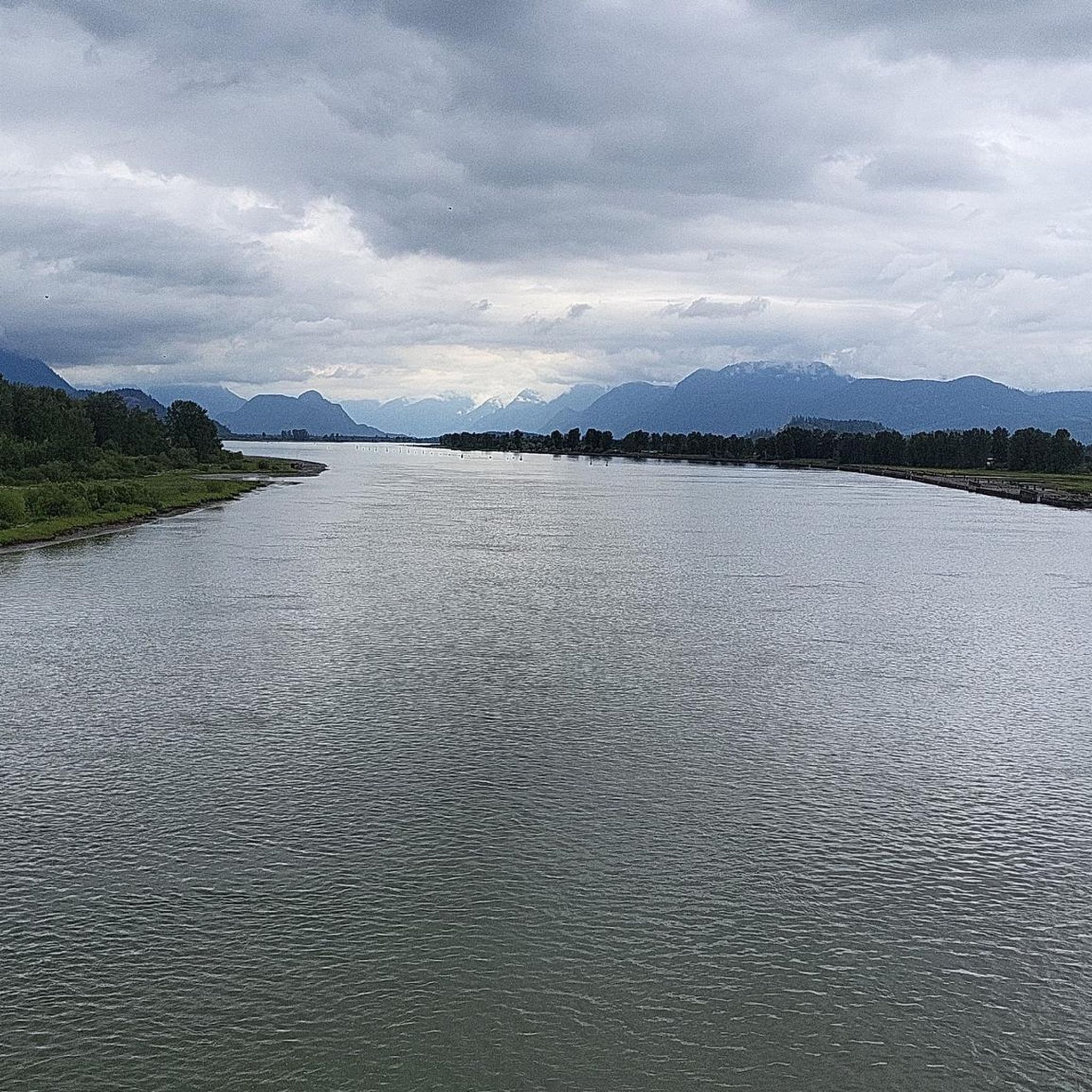
Pitt Meadows Regional Airport sits right along the Pitt River Regional Greenway and the Fraser River, serving general aviation, flight training, and small aircraft operations in the Lower Mainland. The low-lying airfield is surrounded by farmland and dike trails, making aircraft activity a constant backdrop for nearby walks and rides. As you pass by, you'll likely see planes taking off and landing at close range against the open valley setting.
0
0

There is an easy loop trail around the shore of the lake, which connects to nearby trails ascending Sugar Mountain and the hills to the west.
1
0
təmtəmíxʷtən/Belcarra Regional Park sits covers 1,100 hectares (2,700 acres) and offers a mix of beaches, shaded trails, and calm lake swimming. You can explore cool, mossy glades beneath towering trees, wander shoreline paths, or head inland to Sasamat Lake, known for its warm summer water and family‑friendly beaches. The parks name, given by the Tsleil‑Waututh Nation, means “the biggest place for all the people,” and the land still holds a high place in their history and culture.
0
0
From the Eleanor Ward Bridge, you will be suspended high above the flowing waters of the Coquitlam River. The bridge provides a clear view down into the forested river corridor as the river winds through the valley below. It’s a striking vantage point along the route and a great place to pause and watch the river moving through this green stretch of Coquitlam.
0
0

Belcarra Picnic Area is a great family-friendly spot to spend the day or a great spot to prepare for a hike. The park features picnic shelters and tables scattered across its grassy areas, as well as restrooms, potable drinking water, and barbecue stands. There is beach access for swimming, kayaking, and paddleboarding, along with a paved parking lot that fills up quickly on summer weekends.
0
0
Frequently Asked Questions
How many road cycling routes are available around Pitt Lake?
There are over 30 road cycling routes available around Pitt Lake, catering to various preferences. This includes 9 easy routes, 21 moderate routes, and 3 more challenging options.
What kind of terrain can I expect on road cycling routes around Pitt Lake?
The road cycling routes around Pitt Lake are predominantly flat, especially along the extensive dyke systems. You'll find mostly well-paved surfaces, making them suitable for leisurely rides. The terrain allows cyclists to enjoy the scenery without significant elevation changes.
What natural features or landmarks can I see while road cycling around Pitt Lake?
While road cycling, you can enjoy spectacular views of Pitt Lake itself, surrounded by mountains, and observe diverse wetland ecosystems. Notable landmarks include the Pitt River Bridge and the Pitt River. The area is also known for its U-shaped glacial valley and the unique tidal nature of Pitt Lake.
Are there specific viewpoints or scenic spots along the routes?
Yes, the dyke systems around the Pitt River and Pitt Lake provide elevated vantage points for observing the diverse ecosystem and enjoying mountain and lake views. Pitt Bridge to Airport route and the Pitt River Regional Greenway offer particularly scenic sections.
Is there parking available for road cyclists near Pitt Lake?
Yes, Grant Narrows Regional Park serves as a primary access point to Pitt Lake and features a boat launch and parking facilities, making it a convenient starting point for many cycling routes.
When is the best time of year to go road cycling around Pitt Lake?
Pitt Lake offers stunning scenery year-round, but for road cycling, the spring, summer, and early fall months generally provide the most pleasant weather conditions. Always check local forecasts before heading out.
Are the road cycling routes around Pitt Lake suitable for families?
Many of the routes, particularly those along the flat dyke systems, are ideal for family outings and cyclists of varying fitness levels. The predominantly flat terrain makes for enjoyable and accessible rides for all.
What do other road cyclists enjoy the most about road cycling in Pitt Lake?
The area is highly rated by the komoot community, with an average score of 4.9 stars from over 40 reviews. Reviewers often praise the scenic views along the water, the natural areas, and the varied landscapes that include parkland and agricultural settings.
Are there any loop routes for road cycling around Pitt Lake?
Yes, there are several excellent loop routes. Popular options include the Barnet Marine Park loop from Port Coquitlam and the Belcarra Picnic Area – Floating Bridge loop from Port Coquitlam, which offer varied scenery and enjoyable distances.
Can I combine road cycling with other activities in the Pitt Lake area?
Absolutely! Beyond cycling, the Pitt Lake area is popular for wildlife viewing and bird watching, especially in the Pitt-Addington Marsh Wildlife Management Area. Grant Narrows Regional Park is also great for walking, and the lake itself is popular for boating, canoeing, kayaking, and fishing.
Are there any specific routes that showcase the agricultural landscapes of the region?
Yes, the Derby Reach Regional Park – BC Farm Museum loop from Port Coquitlam is a great choice. This moderate route winds through parkland and agricultural landscapes, providing a varied and scenic experience of the local farming country.
What is the longest moderate road cycling route available?
One of the longer moderate options is the Pitt Bridge to Airport route – Pitt Meadows Farming Country loop from Port Coquitlam, which covers approximately 84.6 kilometers (52.6 miles) and offers a diverse ride through the region.
Most popular routes around Pitt Lake
Most popular attractions around Pitt Lake

Get inspired with the komoot mobile app


Explore more
Browse the best Road cycling routes in other regions.
