The best road cycling routes around Hornindalsvatnet
5.0
(3)
43
riders
7
rides
Road cycling around Hornindalsvatnet is characterized by its deep lake views and mountainous terrain, offering a blend of challenging and scenic routes. The region features a dramatic landscape with towering mountains, fjord-like valleys, and green fields, providing diverse backdrops for cycling. Routes are predominantly on paved surfaces, navigating through areas shaped by glacial activity. This topography offers varied elevation gains, catering to different fitness levels.
Best road cycling routes around Hornindalsvatnet
- The most popular road cycling route is Norsvegen –…
Last updated: June 27, 2026
6
riders
123km
05:34
1,210m
1,210m
Hard road ride. Very good fitness required. Mostly well-paved surfaces and easy to ride.
5.0
(1)
15
riders
82.3km
04:20
1,360m
1,360m
Hard road ride. Very good fitness required. Mostly well-paved surfaces and easy to ride.

Sign up for free
5.0
(2)
11
riders
118km
05:52
1,690m
1,690m
Hard road ride. Very good fitness required. Mostly well-paved surfaces and easy to ride.
5
riders
28.3km
01:18
270m
270m
Easy road ride. Great for any fitness level. Mostly well-paved surfaces and easy to ride.
4
riders
Moderate road ride. Good fitness required. Mostly well-paved surfaces and easy to ride.
Get access to more routes and recommendations from other explorers.
Sign up for free
Already have an account?
Our route recommendations are based on thousands of hikes, rides, and runs completed by other people on komoot.
Start today with a free account
Your next adventure awaits.
Login or Signup
Popular around Hornindalsvatnet
Tips from the Community

Small weir for a walk, but not a major highlight…
0
0

Sagesætra is a charming traditional hamlet consisting of wooden huts. The streams that run through it enhance its natural landscape.
0
0
Bakkesætervatnet is one of a series of lakes fed by water flowing down from the summit of Skardhornet. The surrounding vegetation provides a peaceful setting for a stroll along its eastern shore.
0
0
Storesætervatnet is a beautiful lake. At its southern end, there is a superb view of the surrounding landscape.
0
0

Road biking, running, and walking on a quiet side road with decent asphalt. No sidewalk or bike path!
0
0

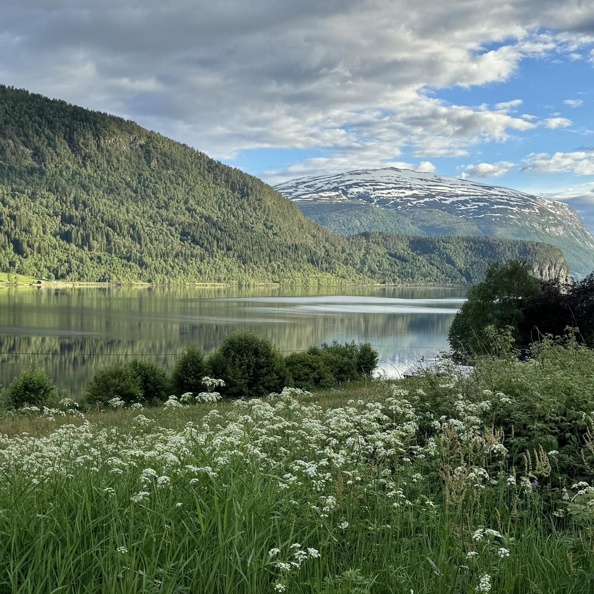
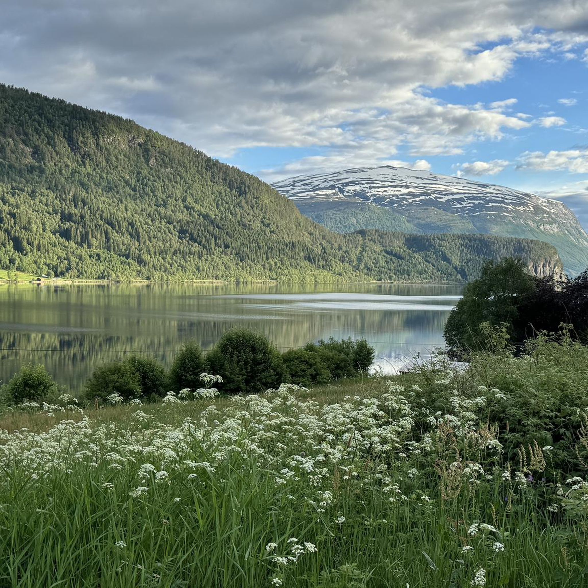
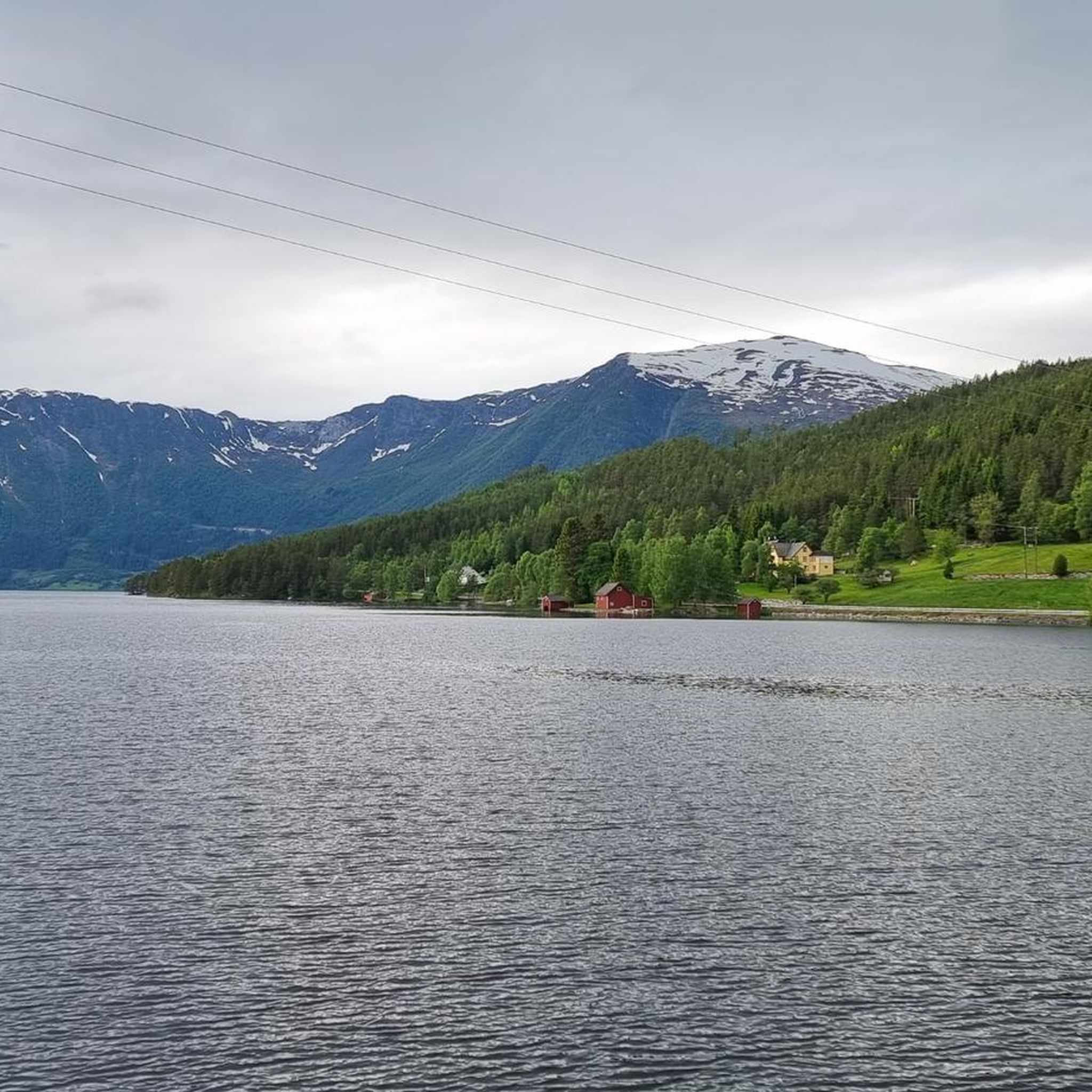
Beautiful view of the lake from the perfectly paved road. Enjoy the serenity and the view.
0
0

If you're lucky and the weather cooperates, the water is so smooth that you will see the mountains twice!
0
0
Take a break here to enjoy the view of this high waterfall.
0
0
Frequently Asked Questions
What kind of terrain can I expect on road cycling routes around Hornindalsvatnet?
Road cycling around Hornindalsvatnet offers a diverse landscape characterized by deep lake views, towering mountains, and fjord-like valleys. The routes are predominantly on paved surfaces, navigating through areas shaped by glacial activity, which means you'll encounter varied elevation gains and scenic backdrops.
Are there road cycling routes suitable for beginners or families in Hornindalsvatnet?
Yes, Hornindalsvatnet offers routes suitable for various skill levels. For an easy introduction to the region's cycling, consider the Norsvegen – Nordfjordeid Harbor loop from Prestemarka, which is about 15.9 km (9.9 miles) and takes around 45 minutes to complete.
What are some challenging road cycling routes in the Hornindalsvatnet area?
For experienced cyclists seeking a challenge, Hornindalsvatnet has several difficult routes. The View of Lake Lovatnet – View of the Glacier loop from Grodås is a demanding 123.6 km (76.8 miles) trail with significant elevation gain, often taking over 5 hours. Another challenging option is the View of Lake Loen – Loen Skylift Base Station loop from Eid kyrkje, spanning 118.2 km (73.4 miles) with substantial climbs.
How many road cycling routes are available around Hornindalsvatnet?
There are 8 road cycling routes available around Hornindalsvatnet, catering to various skill levels from easy to difficult. These routes offer a range of distances and elevation profiles to explore the region's stunning scenery.
What is the best time of year for road cycling in Hornindalsvatnet?
The Hornindalsvatnet region is best enjoyed for road cycling during the warmer months, typically from late spring to early autumn. This period offers more stable weather conditions, less chance of snow at higher elevations, and the full beauty of the green landscapes and clear lake views. July is particularly notable as it hosts the annual Hornindalsvatnet Marathon.
Are there any notable viewpoints or attractions along the road cycling routes?
Yes, the region is rich with natural beauty and charming villages. Many routes offer deep lake views of Hornindalsvatnet itself, Europe's deepest lake. You'll also pass through picturesque settlements like Grodås and Mogrenda, and near the Heggjabygda Church on the northern shore. Some routes, like the View of Lake Lovatnet – View of the Glacier loop from Grodås, provide glimpses of other stunning lakes and glaciers in the wider Nordfjord area.
What do other road cyclists enjoy most about cycling in Hornindalsvatnet?
The area is highly rated by the komoot community, with an average score of 5.0 stars. Reviewers often praise the deep lake views, the dramatic mountainous terrain, and the well-maintained paved surfaces that make for an excellent cycling experience. The blend of challenging climbs and scenic, easier sections is also frequently highlighted.
Are there any moderate road cycling routes in the area?
Yes, for those looking for a balanced challenge, the Nordfjordeid Harbor – Norsvegen loop from Prestemarka is a popular moderate option. This 50.6 km (31.4 miles) path features varied terrain with notable elevation changes and typically takes around 2 hours and 50 minutes to complete.
Is there public transport available to access road cycling trails around Hornindalsvatnet?
While specific public transport links directly to every trail start point might be limited, the Hornindalsvatnet region is accessible. The European Route E39 runs nearby, providing convenient access by car. For detailed public transport options, it's advisable to check local bus schedules connecting to towns like Nordfjordeid or Grodås, which serve as common starting points for many routes.
Where can I find parking for road biking around Hornindalsvatnet?
Parking is generally available in the main villages and towns around Hornindalsvatnet, such as Nordfjordeid, Grodås, and Mogrenda. These settlements often serve as convenient starting points for many cycling routes. Look for designated parking areas within these communities.
Are there any cafes or places to stop for refreshments along the routes?
The charming villages around Hornindalsvatnet, such as Grodås on the eastern end and Mogrenda on the western end, offer opportunities for refreshments. These settlements provide vacation lodgings and small local establishments where you can stop for a break and refuel during your ride.
What is the longest road cycling route available in Hornindalsvatnet?
One of the longest and most challenging road cycling routes in the area is the View of Lake Lovatnet – View of the Glacier loop from Grodås. This route covers an impressive 123.6 km (76.8 miles) and features significant elevation changes, making it a full-day adventure for experienced cyclists.
Can I cycle around the entire Hornindalsvatnet lake?
While there isn't a single designated 'around the entire lake' route in the provided data, many routes offer extensive views of Hornindalsvatnet and its surrounding areas. Routes like the Bjørkedalsvatnet lake loop from Mogrenda, though not exclusively around Hornindalsvatnet, explore the wider lake district and offer substantial distances and scenic views.
Most popular routes around Hornindalsvatnet

Get inspired with the komoot mobile app


Explore more
Browse the best Road cycling routes in other regions.
