The best walks and hikes around Hornindalsvatnet
4.4
(708)
2,641
hikers
43
hikes
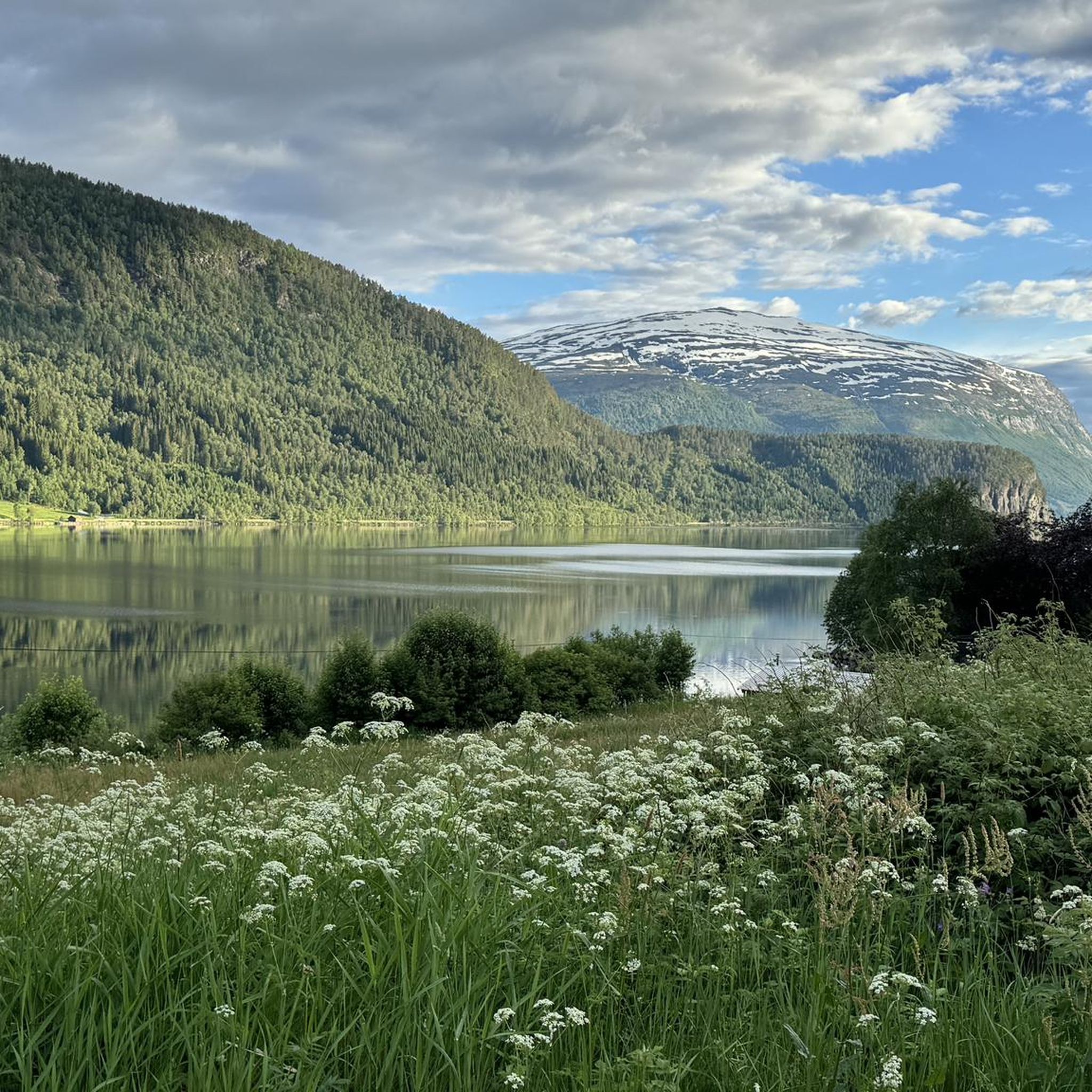
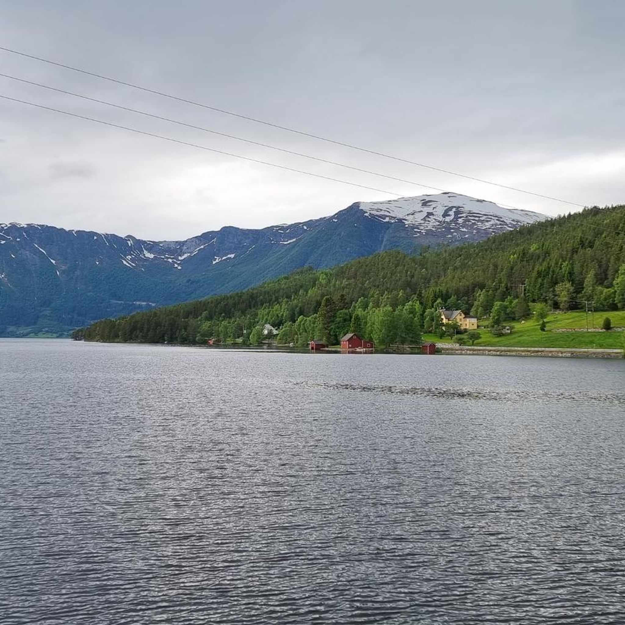
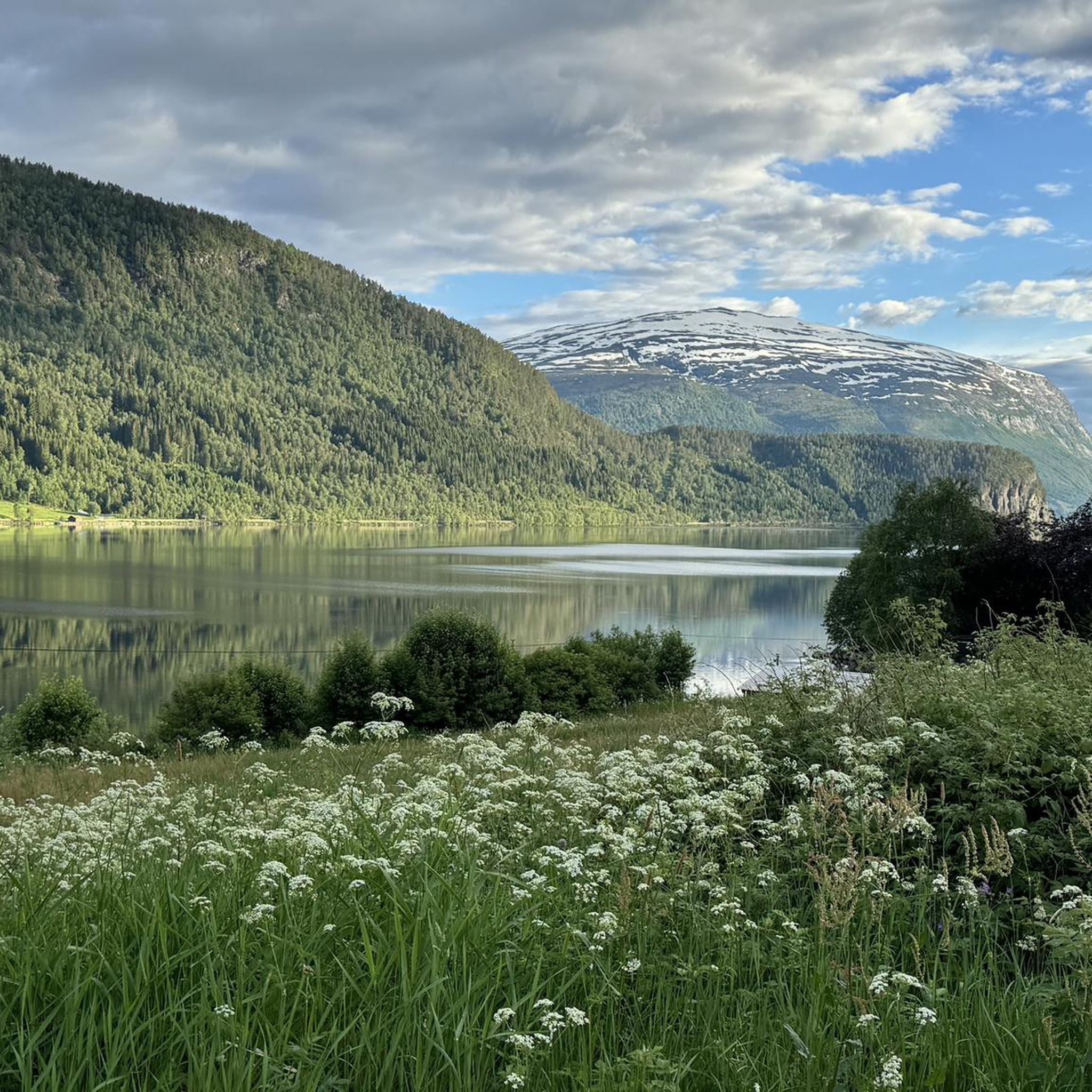
Hiking around Hornindalsvatnet offers diverse terrain amidst a dramatic Norwegian landscape of mountains, glaciers, and fjords. The region is centered around Hornindalsvatnet, Europe's deepest lake, known for its crystal-clear waters and reflections of the surrounding rugged terrain. Characterized by green fields, impressive rock formations, and towering mountains, the area's features are shaped by glacial activity. This pristine nature provides a compelling setting for outdoor activities.
Best hiking trails around Hornindalsvatnet
- The most popular hiking route is View of Innvikfjord –…
Last updated: June 27, 2026
1
hikers
11.8km
04:51
770m
770m
Moderate hike. Good fitness required. Mostly accessible paths. Sure-footedness required.
4.8
(46)
307
hikers
Easy hike. Great for any fitness level. Easily-accessible paths. Suitable for all skill levels.

Sign up for free
5.0
(3)
20
hikers
8.18km
02:36
310m
310m
Moderate hike. Good fitness required. Easily-accessible paths. Suitable for all skill levels.
10.3km
02:49
160m
160m
Moderate hike. Good fitness required. Easily-accessible paths. Suitable for all skill levels.
3.5
(2)
9
hikers
11.8km
03:23
290m
290m
Moderate hike. Good fitness required. Easily-accessible paths. Suitable for all skill levels.
Get access to more routes and recommendations from other explorers.
Sign up for free
Already have an account?
Our route recommendations are based on thousands of hikes, rides, and runs completed by other people on komoot.
Start today with a free account
Your next adventure awaits.
Login or Signup
Popular around Hornindalsvatnet
Tips from the Community


Sagesætra is a charming traditional hamlet consisting of wooden huts. The streams that run through it enhance its natural landscape.
0
0
Bakkesætervatnet is one of a series of lakes fed by water flowing down from the summit of Skardhornet. The surrounding vegetation provides a peaceful setting for a stroll along its eastern shore.
0
0
Storesætervatnet is a beautiful lake. At its southern end, there is a superb view of the surrounding landscape.
0
0

The waterfall is so beautiful! I've visited it twice already 🧳🛣️🏕️🏞️💧
1
0

It is definitely worth taking a trip to this waterfall.
4
0

Frequently Asked Questions
How many hiking trails are available around Hornindalsvatnet, and what are their difficulty levels?
There are over 40 hiking trails around Hornindalsvatnet. The routes cater to various skill levels, with 25 easy trails perfect for leisurely strolls, 17 moderate paths for those seeking a bit more challenge, and 1 difficult trail for experienced hikers looking for a strenuous ascent.
Are there any family-friendly hiking options around Hornindalsvatnet?
Yes, Hornindalsvatnet offers several family-friendly hiking options. Many of the 25 easy trails are suitable for families. These routes often feature gentle terrain and offer opportunities for scenic walks along the lake's shore, picnicking, and enjoying the clear waters.
Can I bring my dog on the hiking trails in the Hornindalsvatnet area?
Generally, dogs are welcome on hiking trails in Norway, including around Hornindalsvatnet. However, it's crucial to keep dogs on a leash, especially during lambing season (April-June) and in areas with grazing livestock or wildlife. Always ensure your dog is under control and that you clean up after them.
What kind of natural features and landmarks can I expect to see while hiking around Hornindalsvatnet?
Hikers around Hornindalsvatnet can expect to encounter a dramatic Norwegian landscape. The region is defined by Europe's deepest lake, Hornindalsvatnet, with its crystal-clear waters reflecting the surrounding rugged terrain. You'll see towering mountains, impressive rock formations, green fields, and glacial valleys. Notable features include the majestic Sunnmøre Alps and the Nordfjord landscape. Some trails, like the View of Innvikfjord – Tvinnefossen Waterfall loop from Randabygd kyrkje, offer views of the Tvinnefossen Waterfall.
Are there any circular hiking routes available near Hornindalsvatnet?
Yes, there are several circular hiking routes. For example, the Tvinnefossen Waterfall – View of Innvikfjord loop from Randabygda is a moderate 5.3-mile (8.5 km) path offering varied scenery. Another option is the View from Fossane of Nordfjord – Fossane Mountain Village loop from Eid kyrkje, which provides views of the Nordfjord.
What is the best time of year to go hiking around Hornindalsvatnet?
The best time for hiking around Hornindalsvatnet is typically from late spring to early autumn (May to September). During these months, the weather is generally milder, trails are clear of snow, and daylight hours are long. The scenic cycling track along the lake's western bank is also ideal between April and October. For higher mountain treks, late summer offers the most stable conditions.
Are there any challenging hikes for experienced adventurers in the area?
Yes, for experienced hikers seeking a challenge, the Hornindalsvatnet region offers strenuous ascents. The Trollenykjen trail is a 6.3-mile (10.1 km) route with significant elevation gain, leading through mountainous terrain. The Otredalsfjellet trail, mentioned in regional research, is another strenuous option involving a substantial vertical ascent for panoramic vistas.
What do other hikers enjoy most about the trails around Hornindalsvatnet?
The hiking trails around Hornindalsvatnet are highly rated by the komoot community, with an average score of 4.3 stars from over 700 reviews. Hikers frequently praise the deep lake views, the towering mountains, and the diverse glacial valleys. The variety of options, from leisurely walks to challenging mountain treks, is also a highlight for many.
Are there any specific trails that offer views of waterfalls?
Yes, the region features trails with waterfall views. The View of Innvikfjord – Tvinnefossen Waterfall loop from Randabygd kyrkje is a shorter route that includes views of the Tvinnefossen Waterfall. A longer option is the Tvinnefossen Waterfall – View of Innvikfjord loop from Randabygda, which also incorporates waterfall scenery along with fjord panoramas.
Is there parking available at the trailheads around Hornindalsvatnet?
While specific parking information for every trailhead is not detailed, it is generally common for popular hiking areas in Norway to have designated parking spots near trail starts. It is advisable to check local signage upon arrival or consult detailed route descriptions on komoot for specific parking recommendations for your chosen trail.
What other outdoor activities can be enjoyed in the Hornindalsvatnet area besides hiking?
Beyond hiking, Hornindalsvatnet offers a variety of outdoor pursuits. The lake's clear waters are excellent for fishing (brown and lake trout, char, eel), boating, swimming, and kayaking. Scenic walks along the shore and picnicking are also popular. Cycling is an option on a paved track along the western bank, and for a unique cultural experience, horseback riding on local fjord horses is available.
Are there any hikes that offer panoramic views of the Eid valley or Nordfjord?
Yes, several hikes provide breathtaking panoramic views. The summit of Trollenyken (898 meters above sea level), a challenging destination, offers extensive views over the Eid valley, the Sagetindane peaks, and Hornindalsvatnet. Additionally, the View from Fossane of Nordfjord – Fossane Mountain Village loop from Eid kyrkje provides views towards the Nordfjord.
Most popular routes around Hornindalsvatnet

Get inspired with the komoot mobile app


Explore more
Browse the best Hikes in other regions.
