The best road cycling routes around Area F (McConnell Creek/Hatzic Prairie)
4.0
(1)
56
riders
5
rides
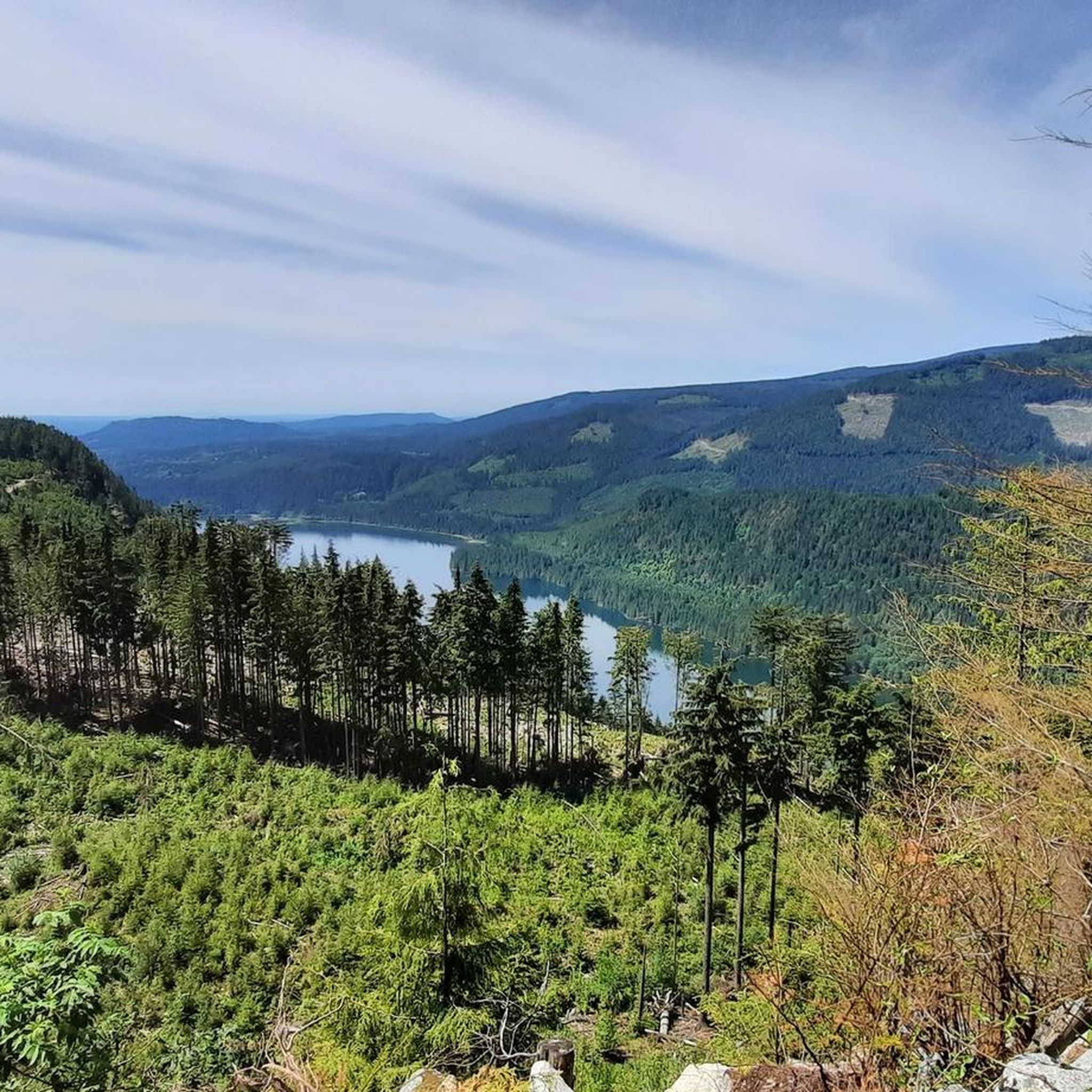
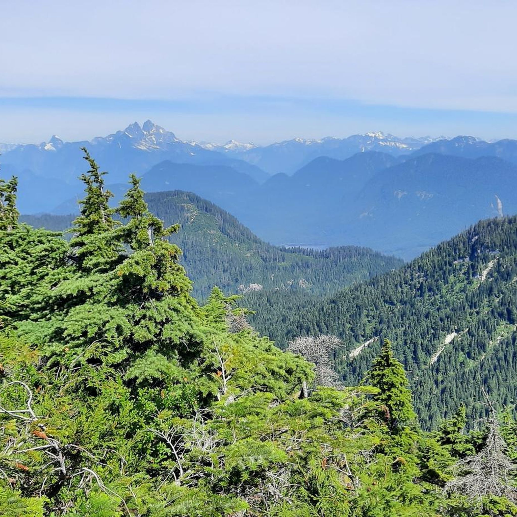
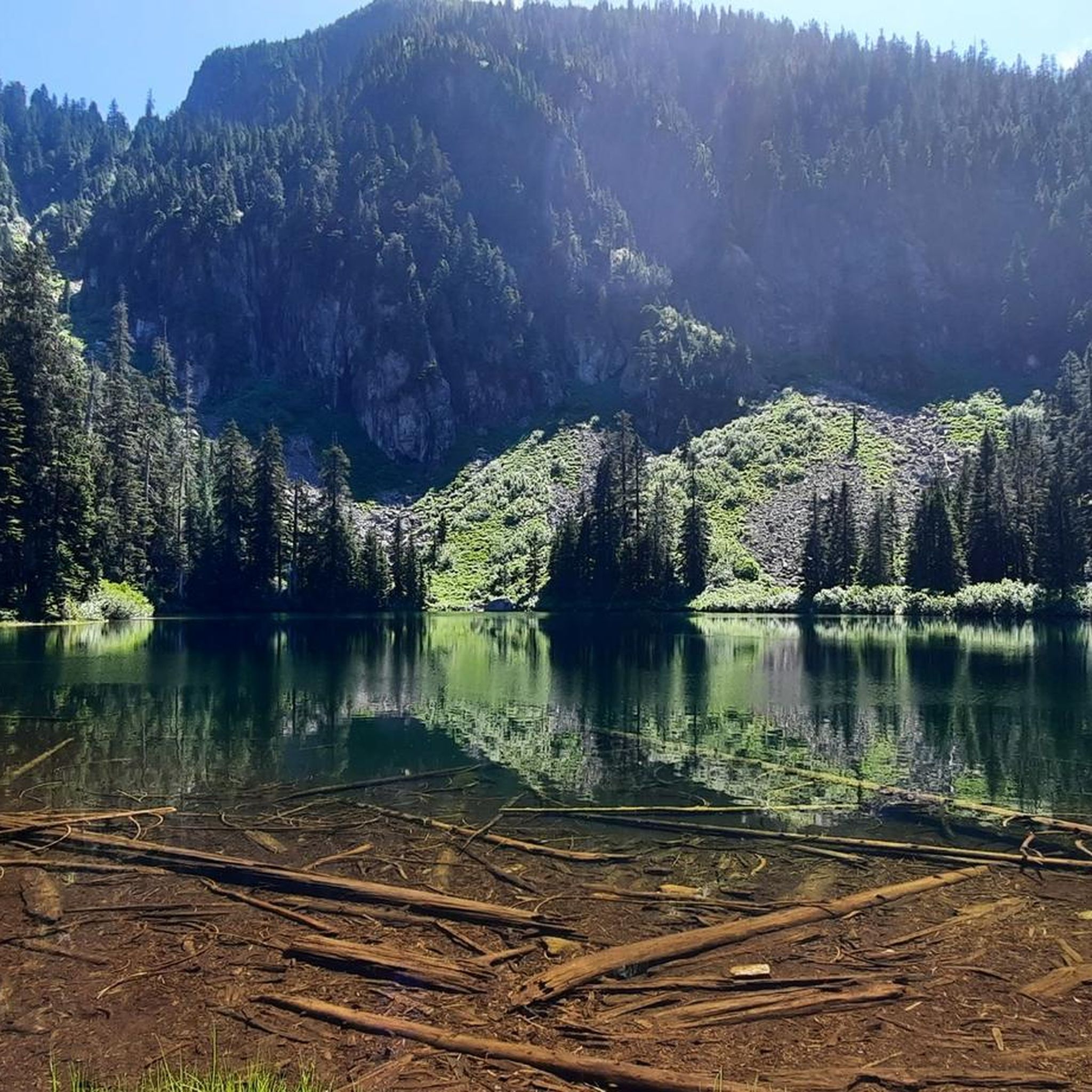
Road cycling around Area F (McConnell Creek/Hatzic Prairie) offers diverse terrain, transitioning from lowland agricultural plains to wilder, forested areas. The region is characterized by rugged mountains, abundant streams, and the presence of Hatzic Lake. Cyclists encounter a mix of flat stretches through fertile fields and ascents into wooded areas, providing varied experiences.
Best road cycling routes around Area F (McConnell Creek/Hatzic Prairie)
- The most popular road cycling route is Roadbike loop from Sandy Hill Road at Sandy Hill Place (NB), a 40.0 miles (64.5 km) trail that takes about 2 hours 55 minutes to complete. This route features over 2,000 feet of elevation gain.
- Another top favourite among local road cyclists is Hayward Street Bridge loop from Mission RCMP, a moderate 21.8 miles (35.1 km) path. This route includes over 1,600 feet of climbing through varied landscapes.
- Local road cyclists also love the Discovery Trail – Abbotsford Exhibition Park loop from Abbotsford, a 20.2 miles (32.5 km) trail leading through agricultural plains and urban fringes, often completed in about 1 hour 30 minutes.
- Road cycling around Area F (McConnell Creek/Hatzic Prairie) is defined by agricultural plains, forested hills, and mountainous backdrops. The network offers options for different ability levels, from easy loops to more demanding climbs.
- The routes in Area F (McConnell Creek/Hatzic Prairie) are highly rated by the komoot community with an average score of 4.0 stars from over 1 review. More than 60 road cyclists have used komoot to explore Area F (McConnell Creek/Hatzic Prairie)'s varied terrain.
Last updated: July 10, 2026
20
riders
64.7km
02:54
620m
620m
Moderate road ride. Good fitness required. Mostly well-paved surfaces and easy to ride.
10
riders
35.2km
01:47
510m
510m
Moderate road ride. Good fitness required. Mostly well-paved surfaces and easy to ride.

Sign up for free
3
riders
33.0km
01:37
370m
370m
Moderate road ride. Good fitness required. Some segments of this route may be unpaved and difficult to ride.
1
riders
42.7km
02:01
240m
230m
Moderate road ride. Good fitness required. Some segments of this route may be unpaved and difficult to ride.
3
riders
24.4km
01:11
290m
290m
Easy road ride. Great for any fitness level. Mostly well-paved surfaces and easy to ride.
Our route recommendations are based on thousands of hikes, rides, and runs completed by other people on komoot.
Start today with a free account
Your next adventure awaits.
Login or Signup
Tips from the Community

Birchwood Dairy is a popular resupply and rest point, selling ice cream and cold drinks. Washrooms are open to the public. There are picnic tables and a playground for young children.
1
0

The Downes Bowl Trail is a short loop that winds through the wooded ravine at the heart of Downes Bowl Park. The path descends from the surrounding parkland into the bowl before following a mix of dirt trails, wooden bridges, and boardwalk sections through wetland and forest. The terrain is mostly easy, with around fifty-five metres of elevation change as you move in and out of the ravine. It’s an enjoyable walk of about three kilometres, and the winding trail network lets you explore different corners of the bowl.
0
0

To access the Silverdale Creek Wetland Trail park on the road just to the east of the bridge passing over Silverdale Creek on Silverdale Avenue. There are pullouts on both sides of the road. The trailhead has three yellow pillars to stop vehicles from entering the trail and a large "Silverdale Creek Wetland" sign.
0
0
The Powerhouse at Stave Falls Visitor Centre is a fascinating historic site and museum, located in the original 100-year-old Powerhouse that once generated electricity for the Lower Mainland. Visitors can walk through the old generating facility and check out interactive exhibits, archival photos, and original mechanical and electrical components like the massive turbines and generators. The Powerhouse sits on the traditional territory of the Stó:lō People in the core territory of the Kwantlen First Nation.
0
0
The Hayward Street Bridge passes over the Stave River and the northern part of the Ruskin Dam and Powerhouse. There is a small pedestrian crossing separate from cars on he eastern side of the bridge. The dam has been creating electricity here since 1930, using Hayward Lake, a reservoir roughly 5.6 kilometers long, for that powerful flow.
0
0

Abbotsford Exhibition Park offers 148 acres of green space perfect for walking a loop, enjoying a picnic, or playing a game on one of the sports fields. With a network of nicely paved and unpaved paths winding through woodlands, open fields, and a duck‑filled pond, it’s a relaxed stop for a gentle stroll or a break during a longer walk. Be aware that occasional events may close sections of the park, so check the schedule if you’re passing through.
0
0
The Discovery Trail in Abbotsford offers a scenic pathway featuring a couple of small lakes, boardwalk sections, and paved paths suitable for walking or cycling. Stay alert and courteous to other trail users, including cyclists and dogs.
0
0

Kanaka Creek is a beautiful salmon-bearing stream that flows through Maple Ridge into the Fraser River. It runs through forested ravines and sandstone canyons, with seasonal salmon runs in spring and fall. The creek supports diverse wildlife and is essential to the park’s hatchery and conservation efforts.
0
0
Frequently Asked Questions
What kind of terrain can I expect when road cycling in Area F (McConnell Creek/Hatzic Prairie)?
Area F offers diverse terrain for road cyclists. You'll find a mix of lowland agricultural plains, such as those around Hatzic Prairie, transitioning into wilder, forested areas near McConnell Creek. The region is characterized by rugged mountains and abundant streams, providing both flat stretches through fertile fields and challenging ascents into wooded areas.
Are there road cycling routes suitable for beginners in Area F?
Yes, Area F caters to various skill levels. For an easier ride, consider the Roadbike loop from Mission. This route is rated as easy and covers approximately 15.1 miles (24.3 km) with about 935 feet of elevation gain, making it a good option for those new to road cycling in the area.
Where can I find more challenging road cycling routes in Area F?
For experienced road cyclists seeking a challenge, Area F offers routes with significant elevation gain. The Mill Pond – Allan Lake loop from Webster's Corners is rated as difficult, covering 45.7 miles (73.6 km) with over 3,500 feet of climbing. This route will take you through more demanding segments of the region.
What natural features or landmarks can I see along the road cycling routes?
The region is rich in natural beauty. While cycling, you might encounter views of the Douglas Ranges, Durieu Ridge, and Dewdney Peak. The area also features several water bodies, including Allan Lake and Davies Lake, and is bordered by Hatzic Lake. For a notable natural attraction, consider visiting the picturesque Lower Falls, Golden Ears Provincial Park, which is a significant waterfall in the broader region.
Are there any viewpoints along the road cycling routes in Area F?
Yes, the mountainous backdrops and elevated areas in Area F offer scenic vistas. While specific viewpoints directly on the road cycling routes are not detailed, the region is known for features like Mount St. Benedict, which is the highest point in McConnell Creek and the Hatzic Valley, suggesting opportunities for panoramic views. You can also find highlights like Panoramic View of Garibaldi Lake and Battleship Islands in the wider area.
What is the best time of year to go road cycling in Area F?
The diverse terrain of Area F makes it appealing for road cycling across seasons, though specific conditions vary. The combination of agricultural lands and forested hills ensures scenic experiences. For the most comfortable rides, spring and fall generally offer pleasant temperatures and vibrant landscapes. Always check local weather conditions before heading out.
Are there any loop trails for road cycling in Area F?
Many of the road cycling routes in Area F are designed as loops, allowing you to start and end at the same point. Examples include the Roadbike loop from Sandy Hill Road at Sandy Hill Place (NB), the Hayward Street Bridge loop from Mission RCMP, and the Discovery Trail – Abbotsford Exhibition Park loop from Abbotsford, all offering circular journeys through the region's varied landscapes.
What do other road cyclists enjoy most about road cycling in Area F?
The komoot community highly rates road cycling in Area F, with an average score of 4.0 stars. Cyclists often praise the diverse terrain, which transitions from flat agricultural plains to challenging forested ascents, and the overall scenic beauty of the Hatzic Valley with its rugged mountains and abundant streams.
Are there any family-friendly road cycling options in Area F?
While road cycling routes can vary in difficulty, the presence of easier routes like the Roadbike loop from Mission, which is rated easy, suggests options for families with older children or those looking for a less strenuous ride. These routes often feature well-paved surfaces through agricultural plains, offering a more relaxed experience.
Is public transport available to access road cycling routes in Area F?
Information on specific public transport links directly to the start points of road cycling routes in Area F is limited. However, the region is part of British Columbia's Lower Mainland, and local transit services may connect to nearby towns. It is advisable to check the local transit authority's schedules and routes for connections to areas like Mission or Abbotsford, which serve as starting points for some routes.
Are there any cafes or amenities along the road cycling routes in Area F?
Area F maintains a quietly rural atmosphere, preserving a country lifestyle. While specific cafes directly on the routes are not detailed, the routes often start or pass near towns like Mission or Abbotsford, where you can find various amenities, including cafes, pubs, and restaurants, to refuel before or after your ride.
What are the typical distances and elevation gains for road cycling routes in Area F?
Road cycling routes in Area F vary significantly. You can find moderate routes like the Hayward Street Bridge loop from Mission RCMP, which is 21.8 miles (35.1 km) with over 1,600 feet of climbing. More challenging options, such as the Mill Pond – Allan Lake loop from Webster's Corners, can extend to 45.7 miles (73.6 km) with over 3,500 feet of elevation gain.
Most popular routes around Area F (McConnell Creek/Hatzic Prairie)
Most popular attractions around Area F (McConnell Creek/Hatzic Prairie)

Get inspired with the komoot mobile app


Explore more
Browse the best Road cycling routes in other regions.
