The best walks and hikes around Area F (McConnell Creek/Hatzic Prairie)
4.8
(75)
1,553
hikers
21
hikes
Hiking around Area F (McConnell Creek/Hatzic Prairie) offers diverse terrain within British Columbia's Fraser Valley. The region features significant elevation changes, ranging from lowland paths in the Hatzic Valley to the foothills of the Douglas Ranges. It is characterized by dense forests, numerous streams, and prominent water bodies like Rolley Lake and Hayward Lake. The landscape includes both rugged mountain environments and the open agricultural expanse of Hatzic Prairie.
Best hiking trails around Area F (McConnell Creek/Hatzic Prairie)
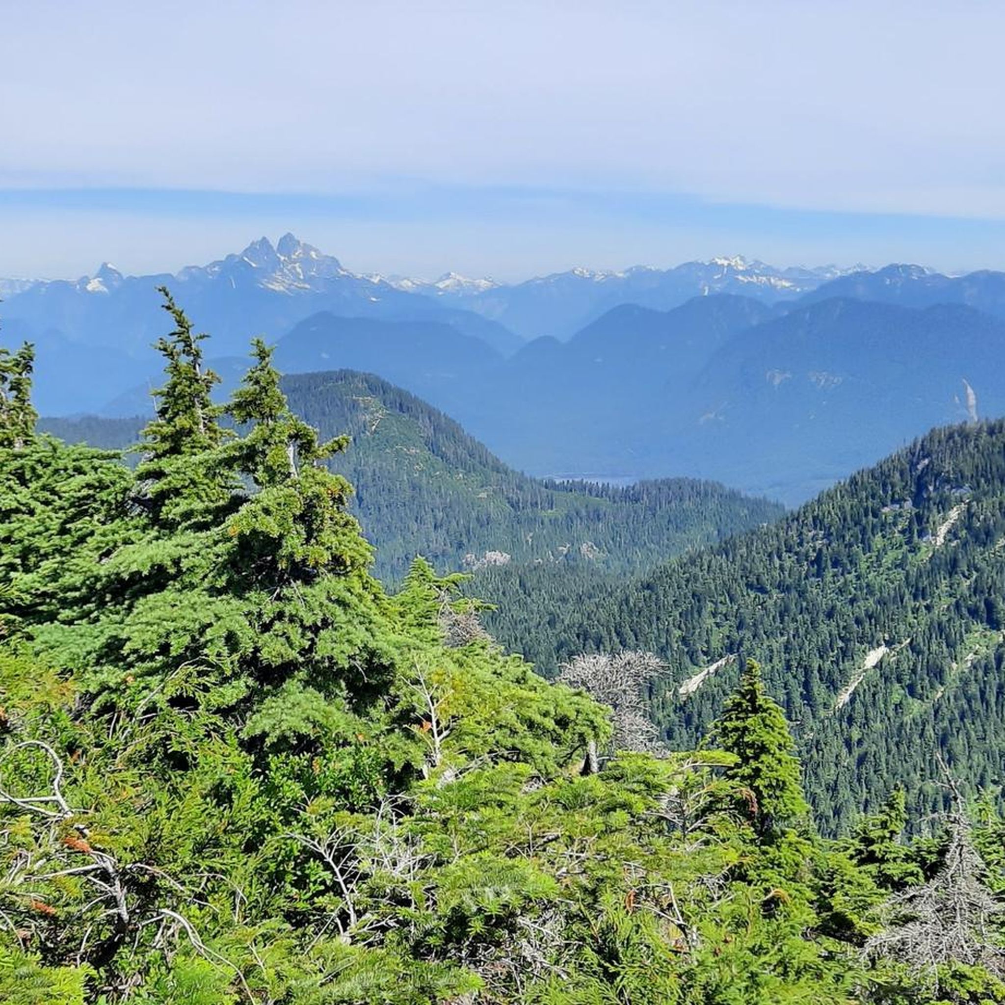
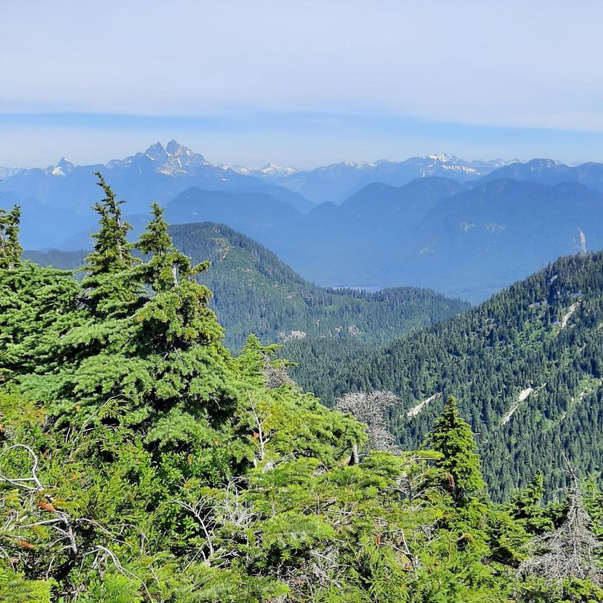
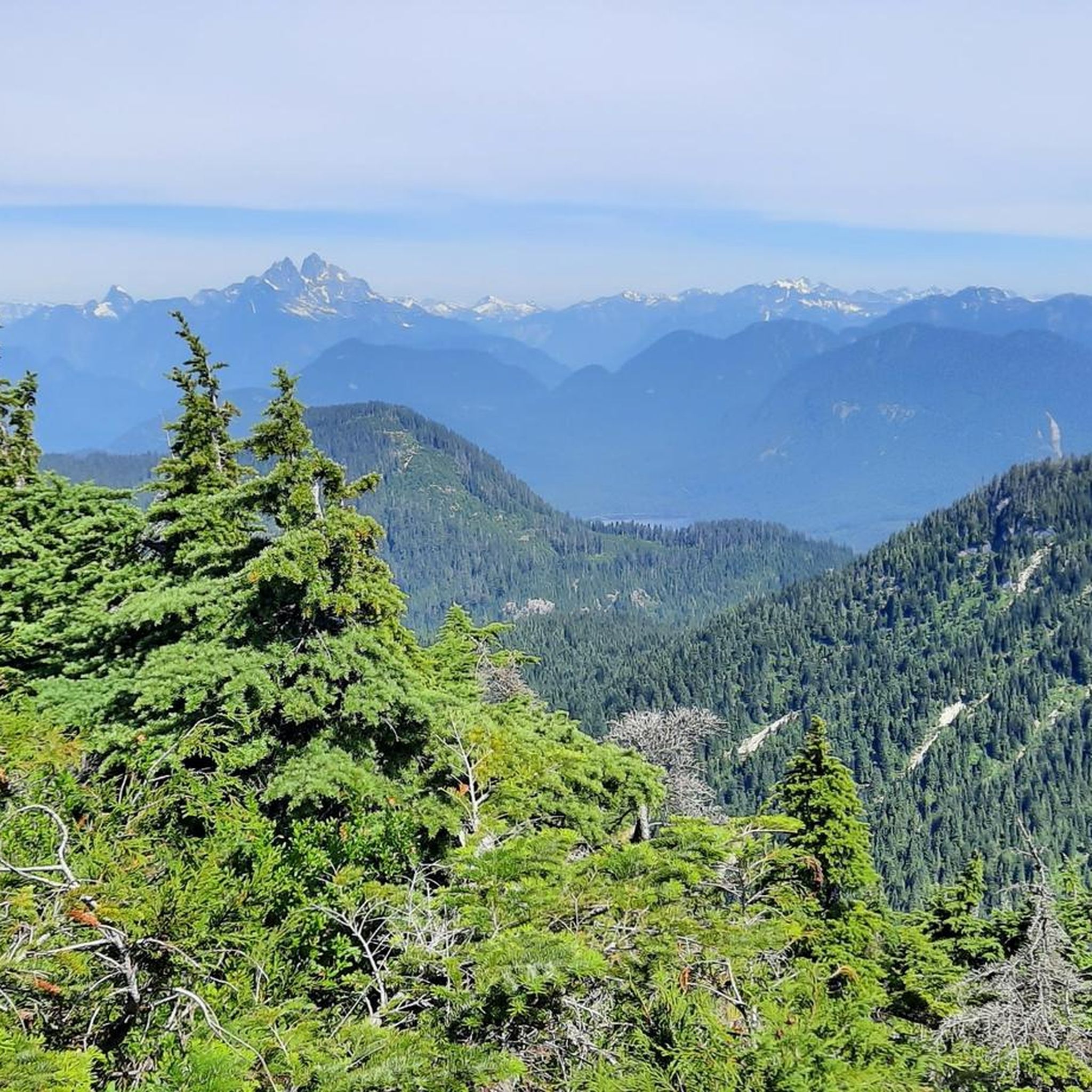
- The most popular hiking route is Hunter Logging Road, a 4.7 miles (7.6 km) trail that takes 2 hours 21 minutes to complete. This moderate route offers views of Stave Lake and surrounding mountains.
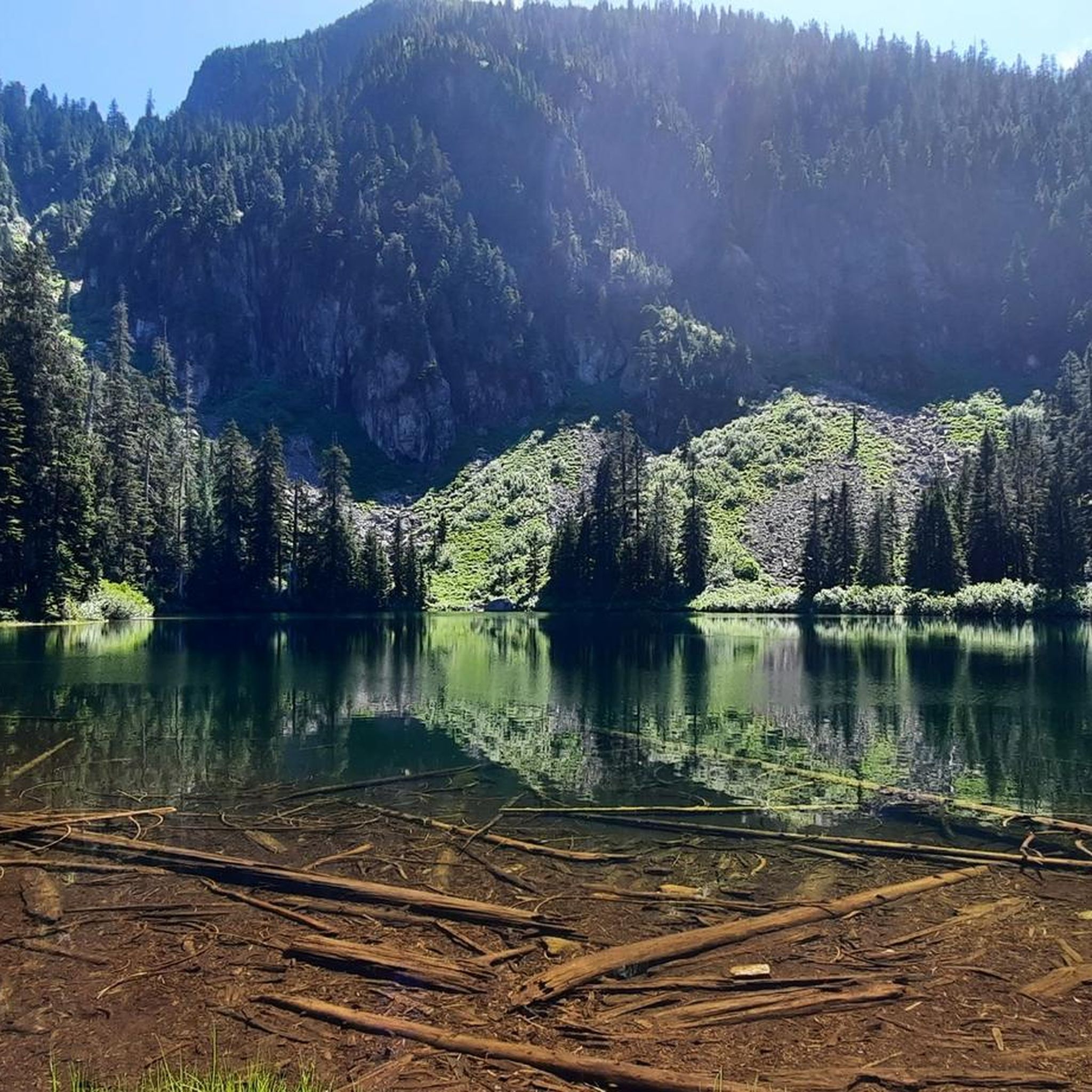
- Another top favourite among local hikers is Lakeside Trail & Rolley Falls Trail loop — Rolley Lake Provincial Park, an easy 3.1 miles (5.0 km) path. This trail provides views of Rolley Lake and its falls.
- Local hikers also love the Hayward Lake loop, a 11.2 miles (18.1 km) trail leading through forested areas around the lake, often completed in about 4 hours 56 minutes.
- Hiking around Area F (McConnell Creek/Hatzic Prairie) is defined by forested terrain, tranquil lakes, and significant elevation changes. The network offers options for various ability levels, from easy lakeside paths to more challenging mountain ascents.
- The routes in Area F (McConnell Creek/Hatzic Prairie) are highly rated by the komoot community with an average score of 4.8 stars from over 70 reviews. More than 1,300 hikers have used komoot to explore Area F (McConnell Creek/Hatzic Prairie)'s varied terrain.
Last updated: July 3, 2026
5.0
(4)
29
hikers
4.99km
01:28
120m
120m
Easy hike. Great for any fitness level. Easily-accessible paths. Suitable for all skill levels.
5.0
(1)
30
hikers
7.64km
02:22
280m
280m
Hike the Hunter Logging Road in Mission Municipal Forest for moderate effort and panoramic views of Stave Lake and surrounding mountains.

Sign up for free
5.0
(2)
14
hikers
10.7km
03:31
420m
420m
Hike the difficult 6.6-mile Hoover Lake Trail in Mission Municipal Forest, gaining 1392 feet to a tranquil lake and Stave Lake views.
5.0
(1)
12
hikers
18.1km
04:56
270m
270m
Hike the moderate 11.2-mile Hayward Lake loop in Hayward Lake Recreation Area, featuring varied terrain, lakeside views, and Steelhead Falls
9
hikers
707m
00:14
40m
40m
Easy hike. Great for any fitness level. Easily-accessible paths. Suitable for all skill levels.
Get access to more routes and recommendations from other explorers.
Sign up for free
Already have an account?
Our route recommendations are based on thousands of hikes, rides, and runs completed by other people on komoot.
Start today with a free account
Your next adventure awaits.
Login or Signup
Tips from the Community

Cascade Falls plunges roughly 30 metres through a narrow rocky gorge, and is the main attraction of the park. Fed by Cascade Creek, the waterfall crashes through a steep canyon before continuing into a series of smaller cascades and calm lower pools downstream. The combination of mossy cliffs, dense forest, and powerful water flow is what gives these beautiful falls a distinct Pacific Northwest feel.
0
0
Tucked into a forested valley northeast of Mission, Cascade Falls Regional Park protects a scenic section of Cascade Creek centred around a picturesque waterfall and suspension bridge. A short but stair-filled trail winds through dense conifer forest to viewpoints overlooking the gorge, with a picnic area and toilets near the trailhead. Despite its relatively small size, the park feels surprisingly rugged, with steep rock walls, rushing water, and several smaller cascades below the main falls.
0
0
Cascade Falls plunges roughly 30 metres through a narrow rocky gorge, and is the main attraction of the park. Fed by Cascade Creek, the waterfall crashes through a steep canyon before continuing into a series of smaller cascades and calm lower pools downstream. The combination of mossy cliffs, dense forest, and powerful water flow are what gives the falls a distinct, beautiful Pacific Northwest feel.
0
0
Spanning Cascade Creek high above the gorge, this suspension bridge offers the park’s best view of the waterfall and surrounding canyon. Looking downstream from the bridge, you can also see a unique natural rock arch carved into the cliff beside the creek, where rushing water has eroded an opening beneath the rock over time, creating one of the area’s lesser-known geological features. The bridge might sway gently under your feet, but it provides an impressive vantage point into the forested ravine below.
0
0

The Powerhouse at Stave Falls Visitor Centre is a fascinating historic site and museum, located in the original 100-year-old Powerhouse that once generated electricity for the Lower Mainland. Visitors can walk through the old generating facility and check out interactive exhibits, archival photos, and original mechanical and electrical components like the massive turbines and generators. The Powerhouse sits on the traditional territory of the Stó:lō People in the core territory of the Kwantlen First Nation.
0
0
Steelhead Falls can be reached via a short and popular hike. The best place to see the falls is at the end of Steelhead Falls Trail on a wooden viewing platform. This out-and-back is best done in spring and summer when the water flow is strong and the surrounding woods are lush.
0
0
The Hayward Street Bridge passes over the Stave River and the northern part of the Ruskin Dam and Powerhouse. There is a small pedestrian crossing separate from cars on he eastern side of the bridge. The dam has been creating electricity here since 1930, using Hayward Lake, a reservoir roughly 5.6 kilometers long, for that powerful flow.
0
0

From here you get a good view of the 20-30 meter cascade that is Rolley Falls. It's not a super clear vantage point since it is still forested, but you can hear and see the falls well from this point and it is a good spot to stop and admire.
0
0
Frequently Asked Questions
How many hiking trails are available in Area F (McConnell Creek/Hatzic Prairie)?
Area F (McConnell Creek/Hatzic Prairie) offers a diverse network of over 20 hiking trails. These routes cater to various skill levels, including 7 easy, 9 moderate, and 5 difficult trails, ensuring options for every hiker.
What kind of terrain can I expect on hikes in Area F (McConnell Creek/Hatzic Prairie)?
The region features a diverse landscape, from lowland paths in the Hatzic Valley to the foothills of the Douglas Ranges. You'll encounter dense forests, numerous streams, and significant elevation changes. The Hatzic Prairie offers open agricultural expanses, contrasting with the rugged mountain environments.
Are there any family-friendly hiking options in Area F (McConnell Creek/Hatzic Prairie)?
Yes, there are several easy trails suitable for families. The Lakeside Trail & Rolley Falls Trail loop in Rolley Lake Provincial Park is an excellent choice, offering scenic views of Rolley Lake and its falls on an easy 3.1-mile path. The Moon Rock Trail in Mission Municipal Forest is another easy 2.0-mile option.
What are some notable natural features or landmarks to see while hiking?
Hikers can explore several natural highlights. Cascade Falls is a prominent 167-foot waterfall located in Cascade Falls Regional Park. The region also boasts tranquil lakes like Allan Lake, Davies Lake, Rolley Lake, and Hayward Lake. For impressive views, Mount St. Benedict is the highest point in McConnell Creek. You can also explore the Rolley Lake Boardwalk or the Taylor Creek Bridge.
Are there any trails with waterfalls in Area F (McConnell Creek/Hatzic Prairie)?
Yes, the region is home to Cascade Falls, a significant natural attraction. The Lakeside Trail & Rolley Falls Trail loop also offers views of Rolley Falls within Rolley Lake Provincial Park.
What do other hikers enjoy most about the trails in Area F (McConnell Creek/Hatzic Prairie)?
The trails in Area F are highly rated by the komoot community, with an average score of 4.8 stars from over 70 reviews. Hikers often praise the diverse terrain, from tranquil lakeside paths to challenging mountain ascents, and the beautiful forested environments.
Are there any longer, more challenging hikes for experienced trekkers?
For experienced hikers seeking a challenge, the Mount Crickmer via K100 route in Stave West Forest and Recreation Area is a difficult 11.6-mile trail with significant elevation gain. Another challenging option is the Hoover Lake Trail, a difficult 6.6-mile hike.
Are there any circular hiking routes available?
Yes, several trails offer a loop experience. The Hayward Lake loop is a popular 11.2-mile trail that circles the lake. The Lakeside Trail & Rolley Falls Trail loop is another excellent circular option.
Is there parking available at the trailheads in Area F?
While specific parking details vary by trailhead, many popular hiking areas like Rolley Lake Provincial Park and Mission Municipal Forest offer designated parking facilities. It's advisable to check specific route information on komoot for details on parking at your chosen trailhead.
What is the best time of year to go hiking in Area F (McConnell Creek/Hatzic Prairie)?
The region offers hiking opportunities throughout much of the year. Spring and fall provide pleasant temperatures and vibrant scenery. Summer is ideal for higher elevation trails, while some lower elevation paths may be accessible in winter, though conditions can vary and require appropriate gear.
Are there any trails that offer panoramic views?
Yes, trails like the Hunter Logging Road in Mission Municipal Forest provide moderate hikes with panoramic views of Stave Lake and the surrounding mountains. Mount St. Benedict, the highest point in McConnell Creek, also offers impressive vistas.
Are there any trails suitable for beginners or those looking for an easy walk?
Absolutely. Area F has 7 easy trails perfect for beginners. Besides the Lakeside Trail & Rolley Falls Trail loop, the Moon Rock Trail in Mission Municipal Forest is another gentle path through the woods.
Most popular routes around Area F (McConnell Creek/Hatzic Prairie)
Most popular attractions around Area F (McConnell Creek/Hatzic Prairie)

Get inspired with the komoot mobile app


Explore more
Browse the best Hikes in other regions.
