The best walks and hikes around Maple Ridge
4.7
(85)
1,532
hikers
21
hikes
Hiking around Maple Ridge offers diverse landscapes, from majestic mountains to the extensive Fraser River. The region is characterized by dense forests, including significant cedar and Douglas fir trees, and features several provincial parks like Golden Ears and Kanaka Creek. Hikers can explore varied ecosystems, scenic riverfronts, and trails leading to waterfalls and viewpoints across the Fraser Valley.
Best hiking trails around Maple Ridge
- The most popular hiking route is Nature Trail, an easy 1.8 miles (2.9 km) path that takes about 45 minutes to complete. This loop features a scenic Fraser River viewpoint within Kanaka Creek Regional Park.
- Another top favourite among local hikers is West Canyon Trail Parking Lot loop from West Canyon parking lot, a moderate 5.0 miles (8.1 km) path. This route in Golden Ears Provincial Park winds through lush forests alongside Gold Creek, offering a glimpse into the park's natural beauty.
- Local hikers also love the Blue Mountain Trail loop, a 10.4 miles (16.7 km) trail leading through mountainous terrain and dense woodlands, often completed in about 5 hours 35 minutes.
- Hiking around Maple Ridge is defined by majestic mountains, dense forests, and scenic riverside paths. The network offers options for various ability levels, from easy strolls to challenging ascents.
- The routes in Maple Ridge are highly rated by the komoot community with an average score of 4.5 stars from over 70 reviews. More than 1200 hikers have used komoot to explore Maple Ridge's varied terrain.
Last updated: September 29, 2026
5.0
(1)
20
hikers
2.86km
00:44
10m
10m
Easy hike. Great for any fitness level. Easily-accessible paths. Suitable for all skill levels.
1
hikers
5.23km
01:30
120m
130m
Easy hike. Great for any fitness level. Easily-accessible paths. Suitable for all skill levels.

5
hikers
2.49km
00:43
70m
70m
Easy hike. Great for any fitness level. Easily-accessible paths. Suitable for all skill levels.
3
hikers
3.41km
01:00
100m
100m
Easy hike. Great for any fitness level. Easily-accessible paths. Suitable for all skill levels.
1
hikers
2.52km
00:39
10m
10m
Easy hike. Great for any fitness level. Easily-accessible paths. Suitable for all skill levels.
Get access to more routes and recommendations from other explorers.
Already have an account?
Our route recommendations are based on thousands of hikes, rides, and runs completed by other people on komoot.
Start today with a free account
Your next adventure awaits.
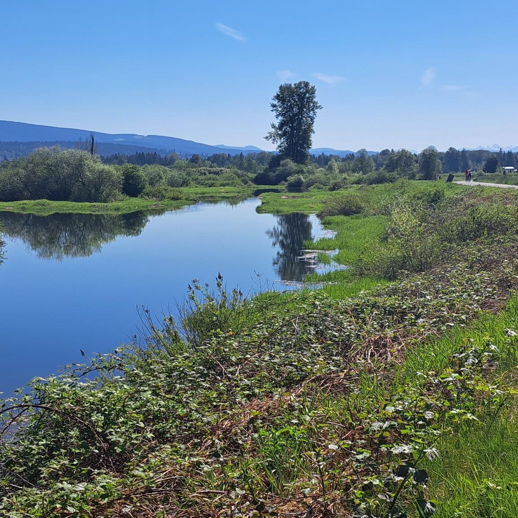
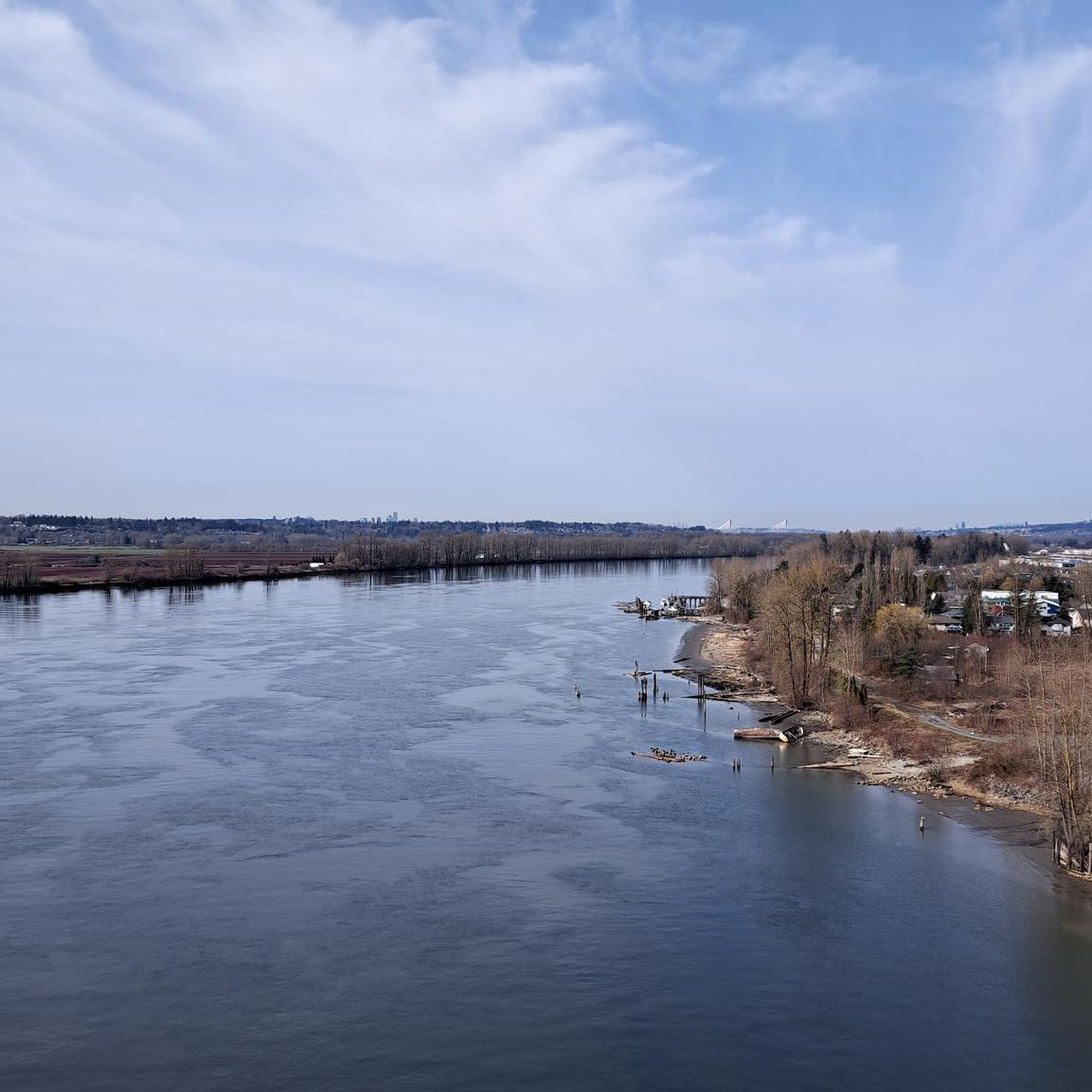
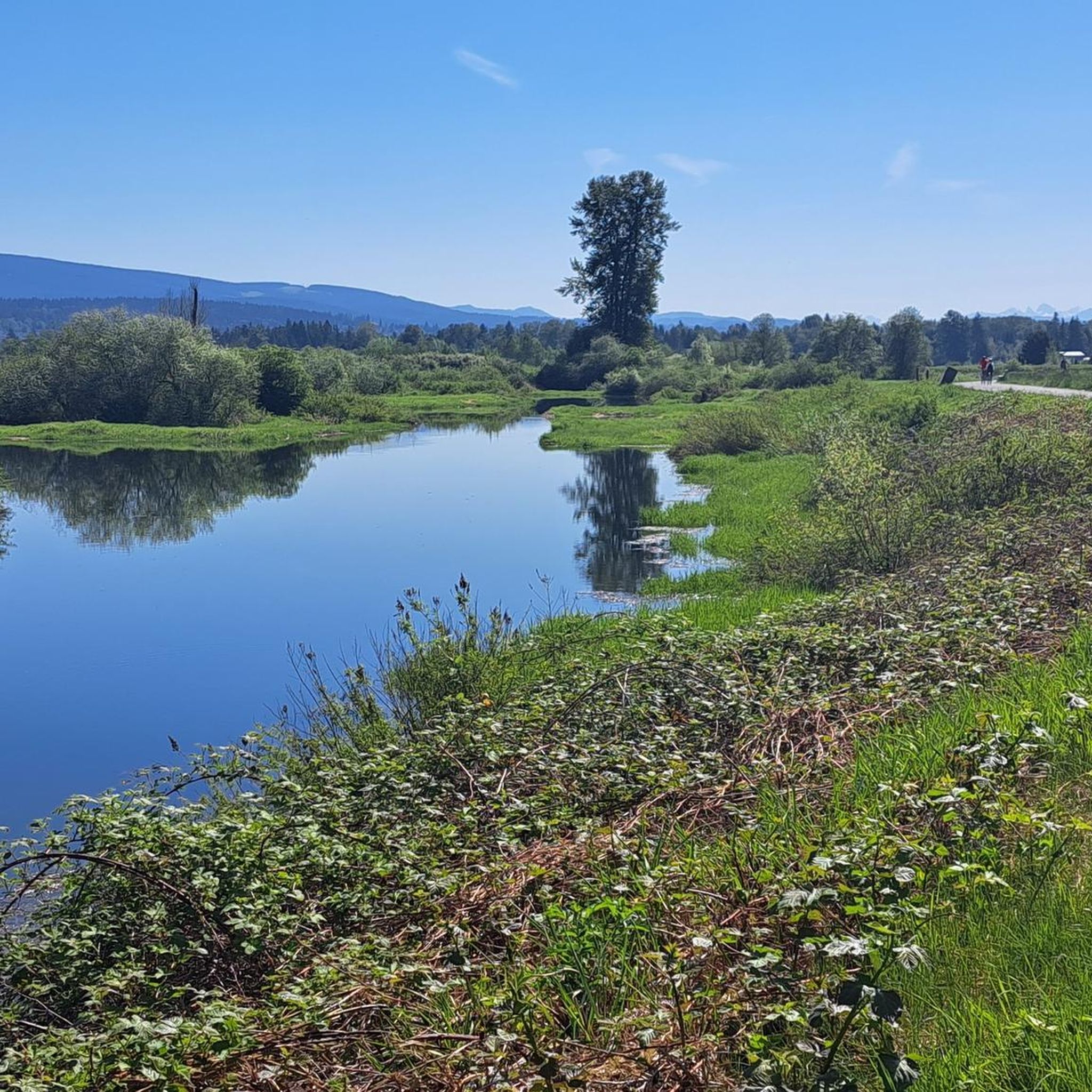

Tips from the Community

Tent Trail is a peaceful singletrack through beautiful forest, with a few streamside sections that can turn muddy after rain. Mountain bikers use this trail often, so stay alert on bends and enjoy the quieter moments between the trees.
0
0

Shull Trailhead is the end of the residential 236th Street and the start of Shull Trail. There are no restrooms here or trash cans, just some roadside parking and the start of the dirt trail into the woods. Come prepared with your full bottle of water, and in the spring and early summer, there are lots of wild flowers, even right at the trailhead, you can see pops of colour.
0
0

Established in 1926, Maple Ridge Park is the city’s oldest public recreation area and is a lovely mix of mature forest, open green space, and riverside scenery. There are picnic shelters, a playground, a seasonal spray park, washrooms, and easy access to the South Alouette River, making it a popular spot for families and outdoor enthusiasts.
0
0
This is an easy walking trail that winds through towering cedars and Douglas firs, following a wide gravel path under a shady forest canopy. It’s mostly flat, and the beautiful views of the river along the way make it the perfect route for a relaxing stroll.
0
0
The Alouette River flows for around 21 kilometres from Alouette Lake to the Pitt River, and is an important waterway that supports annual runs of pink and chum salmon. This peaceful stretch borders the park, with clear water and moss-covered trees lining its banks, and is a great spot to pause and enjoy the sounds of the river.
0
0
Deep in the forest, Bear Claw is a peaceful multipurpose trail with two distinct moods: deciduous woodland to the north and quiet evergreen forest to the south. The change in scenery is especially striking in winter. The trail is shared with bikes and horses, so stay aware and give others plenty of space.
0
0

Silver Back trail winds through a beautiful stretch of coastal rainforest, passing towering Douglas-firs, western red cedars, and dense moss-covered forest typical of Golden Ears Provincial Park. The trail feels noticeably quieter than some of the park's more popular routes, with roots, wooden bridges, and occasional creek crossings adding variety along the way. It's a great introduction to the old-growth character that makes this part of the park so special.
0
0
Originally built as part of Golden Ears Provincial Park's horseback riding network, Shoesmith Trail follows a wide forest corridor through the lower slopes of the park. The route winds beneath towering cedars and Douglas-firs, crossing small creeks and damp woodland typical of British Columbia's coastal rainforest. Unlike some of the park's steeper mountain trails, Shoesmith feels more secluded and relaxed, making it a great way to experience the forest without the crowds found around Alouette Lake and the main day-use areas.
0
0
Frequently Asked Questions
How many hiking trails are available in Maple Ridge?
Maple Ridge offers a wide variety of hiking experiences with over 19 routes documented on komoot. These trails cater to all skill levels, from easy strolls to challenging ascents, allowing you to explore the region's diverse landscapes.
Are there any easy, family-friendly hikes in Maple Ridge?
Yes, Maple Ridge has several easy trails suitable for families. For instance, the Nature Trail in Kanaka Creek Regional Park is an easy 1.8-mile loop with a scenic Fraser River viewpoint. Rolley Lake Provincial Park also offers tranquil scenery and trails, including the Rolley Lake Boardwalk, which is great for a gentle walk.
Where can I find trails with waterfalls in Maple Ridge?
Maple Ridge is home to beautiful waterfalls. Kanaka Creek Regional Park features the scenic Cliff Falls, accessible via the Cliff Falls Trail. Rolley Lake Provincial Park also has trails leading to Rolley Falls, offering picturesque water features amidst marshy wetlands and forests.
Are there any challenging hikes for experienced trekkers?
Absolutely. For those seeking a challenge, the Blue Mountain Trail loop is a difficult 10.4-mile route through mountainous terrain and dense woodlands. In Golden Ears Provincial Park, the West Canyon Trail Parking Lot loop from Gold Creek Parking is another difficult option, winding through lush forests.
What kind of natural attractions can I see along the hiking trails?
Maple Ridge's trails offer a rich tapestry of natural features. You can explore dense rainforests, alpine meadows, and majestic mountain views in Golden Ears Provincial Park. Kanaka Creek Regional Park protects a vital stretch of coastal rainforest and salmon-bearing streams. The UBC Research Forest allows you to hike among some of the region's largest cedar and Douglas fir trees and enjoy expansive views of the Fraser Valley. Additionally, the extensive dyke system along the Fraser and Pitt Rivers provides scenic riverside tranquility.
Are there any circular hiking routes in Maple Ridge?
Yes, many trails in Maple Ridge are designed as loops. The Blue Mountain Trail loop is a notable example for a longer, more challenging circular hike. For a moderate option in Golden Ears Provincial Park, consider the West Canyon Trail Parking Lot loop from West Canyon parking lot, which winds through lush forests.
What do other hikers enjoy most about the trails in Maple Ridge?
The trails in Maple Ridge are highly rated by the komoot community, with an average score of 4.5 stars from over 70 reviews. Hikers frequently praise the diverse landscapes, from majestic mountains and dense forests to scenic riverside paths, and appreciate the variety of options available for different ability levels.
Are there any specific permits required for hiking in Maple Ridge's parks?
While many trails are freely accessible, some areas, particularly within provincial parks like Golden Ears, may have specific regulations or require day-use passes during peak seasons to manage visitor numbers. It's always advisable to check the official BC Parks website for the latest information regarding permits or reservations for Golden Ears Provincial Park before your visit.
Can I access hiking trails in Maple Ridge using public transport?
Public transport options to some of the more remote trailheads, such as those in Golden Ears Provincial Park, can be limited. However, areas like Kanaka Creek Regional Park are generally more accessible within the Maple Ridge transit network. For specific routes, it's best to consult TransLink's official website for bus schedules and routes serving the Maple Ridge area.
What is the best time of year to go hiking in Maple Ridge?
Maple Ridge offers year-round hiking opportunities. Spring and fall provide pleasant temperatures and vibrant scenery, with salmon runs in Kanaka Creek in the fall. Summer is ideal for higher elevation trails and enjoying lakes, though some popular spots can be busy. Winter hiking is also possible on lower elevation trails and dyke systems, offering a different, often quieter, experience.
Are there any trails that offer views of the Fraser Valley?
Yes, several trails provide excellent views of the Fraser Valley. The UBC Research Forest, for example, has viewpoints that offer expansive vistas. Additionally, some of the more strenuous trails in Golden Ears Provincial Park, such as the Alouette Mountain Trail, are known for providing the best panoramic views from the West Canyon Trails region.
Are there any highlights or landmarks near the hiking areas?
Beyond the trails themselves, Maple Ridge is surrounded by interesting landmarks. You can find various bridges like the Tynehead Pedestrian Overpass or the impressive Golden Ears Bridge over the Fraser River. For natural highlights, explore the tranquil Rolley Lake Boardwalk or discover other lakes like Hoover Lake Trail and Widgeon Lake Trail.
Most popular routes around Maple Ridge
Most popular attractions around Maple Ridge

Get inspired with the komoot mobile app


Explore more
Browse the best Hikes in other regions.
