The best road cycling routes around Cowichan Valley G
5.0
(5)
204
riders
13
rides
Road cycling routes around Cowichan Valley G traverse a diverse landscape characterized by coastal stretches, island roads, and rolling hills. The region features a mix of forested areas and open vistas, providing varied terrain for road cyclists. Elevation changes are present, with routes often including moderate climbs and descents.
Best road cycling routes around Cowichan Valley G
- The most popular road cycling route is Spotlight Cove – Sturdies Bay loop from Dionisio Point Provincial Park, a 30.6 miles (49.2 km) trail that takes 2 hours 59 minutes to complete, offering views of the coastline and island scenery.
- Another top favourite among local road cyclists is Roadbike loop from Christ Church Gabriola, a moderate 21.4 miles (34.4 km) path that explores Gabriola Island's roads and natural surroundings.
- Local road cyclists also love the Coffee Shack – View of Maple Bay loop from Ladysmith, a 42.7 miles (68.8 km) trail leading through coastal areas and offering bay views, often completed in about 3 hours 18 minutes.
- Road cycling around Cowichan Valley G is defined by coastal roads, island loops, and rolling terrain. The network offers options for different ability levels, including beginner road bike routes Cowichan Valley and advanced road bike trails Cowichan Valley.
- The routes in Cowichan Valley G are highly rated by the komoot community with an average score of 5.0 stars from over 4 reviews. More than 200 road cyclists have used komoot to explore Cowichan Valley G's varied terrain.
Last updated: August 28, 2026
5.0
(1)
55
riders
49.2km
02:53
770m
770m
Moderate road ride. Good fitness required. Mostly well-paved surfaces and easy to ride.
5.0
(1)
31
riders
34.4km
01:47
430m
430m
Moderate road ride. Good fitness required. Some segments of this route may be unpaved and difficult to ride.

Sign up for free
5.0
(2)
16
riders
68.9km
03:17
680m
680m
Moderate road ride. Good fitness required. Mostly well-paved surfaces and easy to ride.
15
riders
21.9km
01:08
150m
150m
Easy road ride. Great for any fitness level. Mostly well-paved surfaces and easy to ride.
13
riders
23.8km
01:15
160m
160m
Easy road ride. Great for any fitness level. Mostly well-paved surfaces and easy to ride.
Get access to more routes and recommendations from other explorers.
Sign up for free
Already have an account?
Our route recommendations are based on thousands of hikes, rides, and runs completed by other people on komoot.
Start today with a free account
Your next adventure awaits.
Login or Signup

Tips from the Community

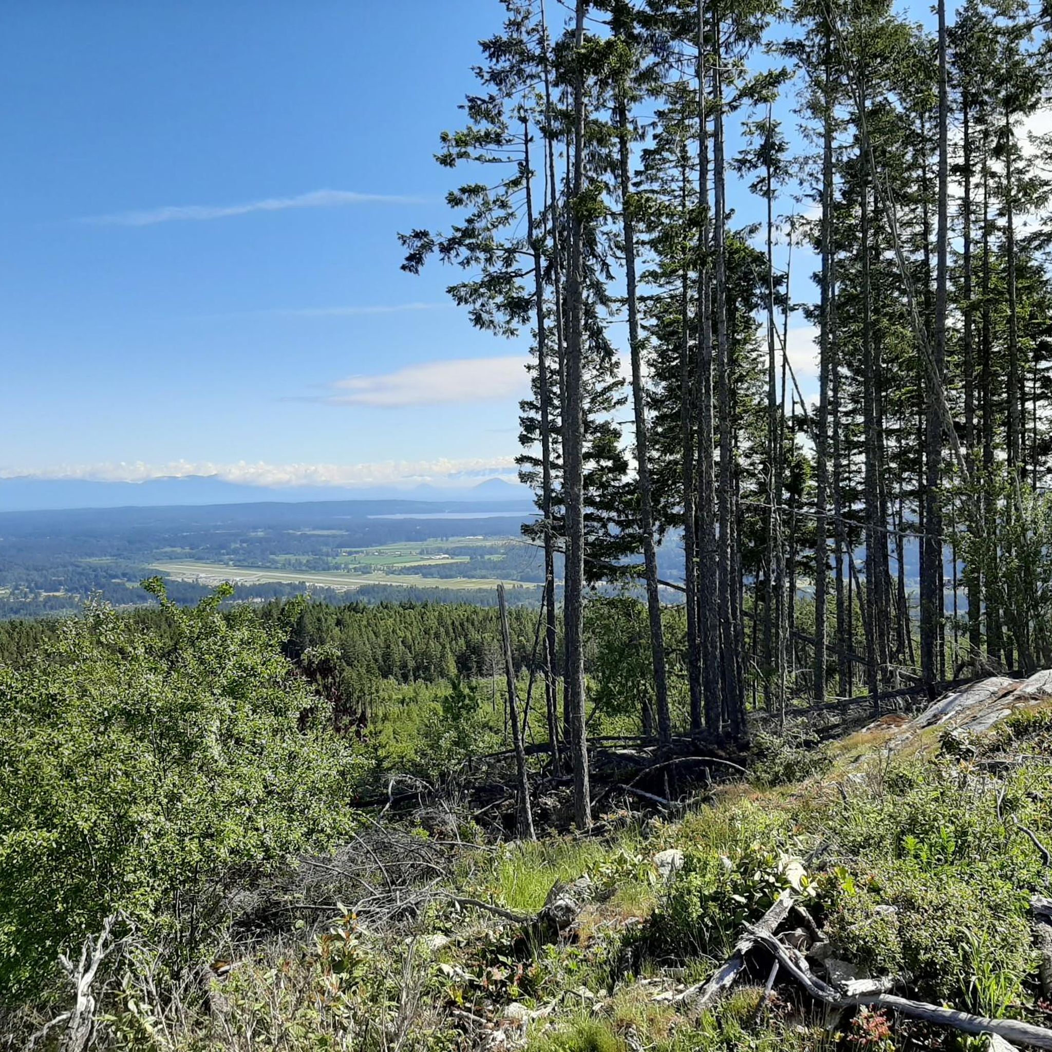
This community park has hiking trails, picnic areas, and open fields. There is ample parking, so you shouldn't have any trouble getting out on the trails or set up for a picnic.
0
0

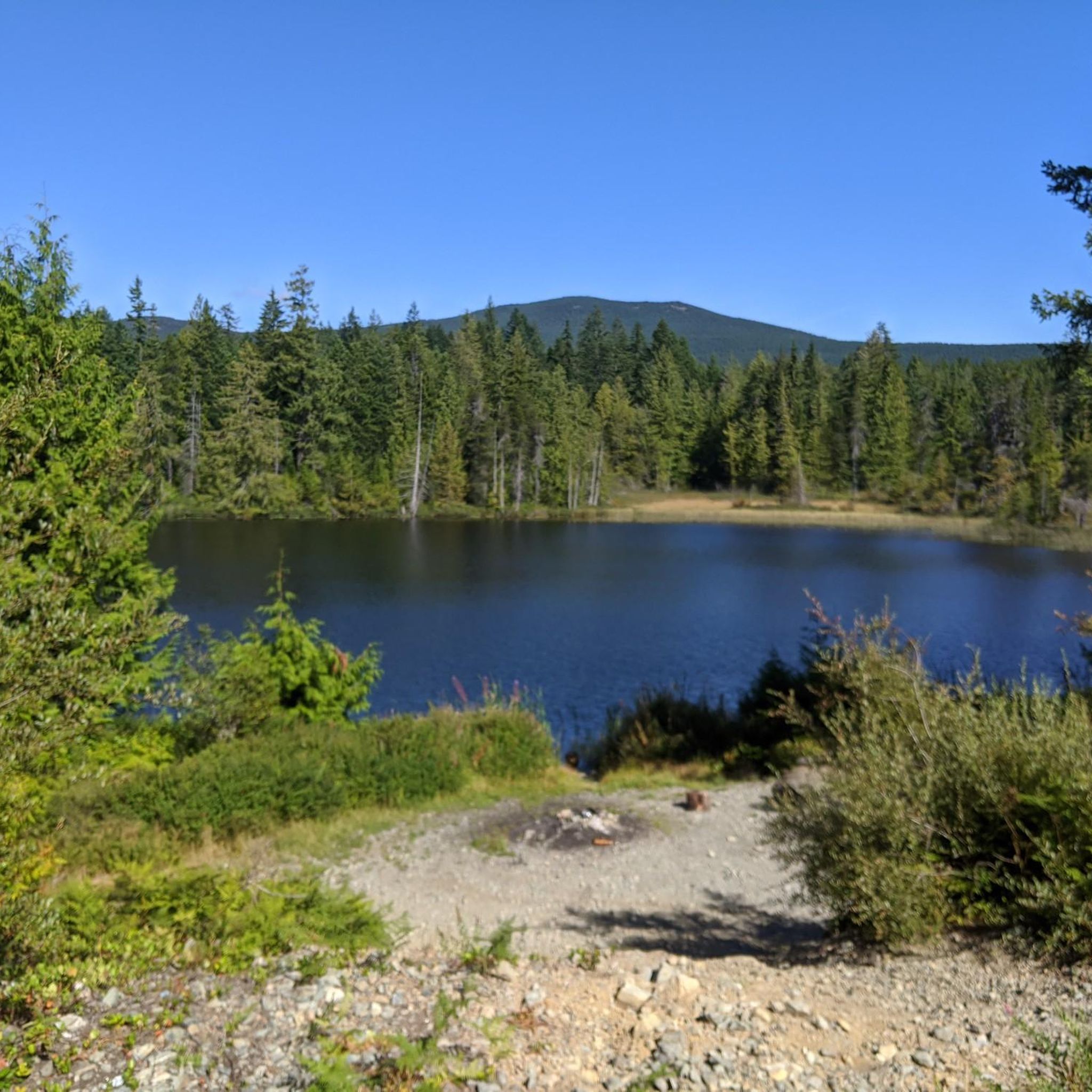
Roberts Memorial Provincial Park is made up of scenic shorelines and coastal forests, a beautiful and relaxed slice of Vancouver Island’s natural wonder. It is a great escape from busier tourist destinations with equal beauty. The park got its name from May Vaughan Roberts donating the land in memory of her husband and daughter.
0
0
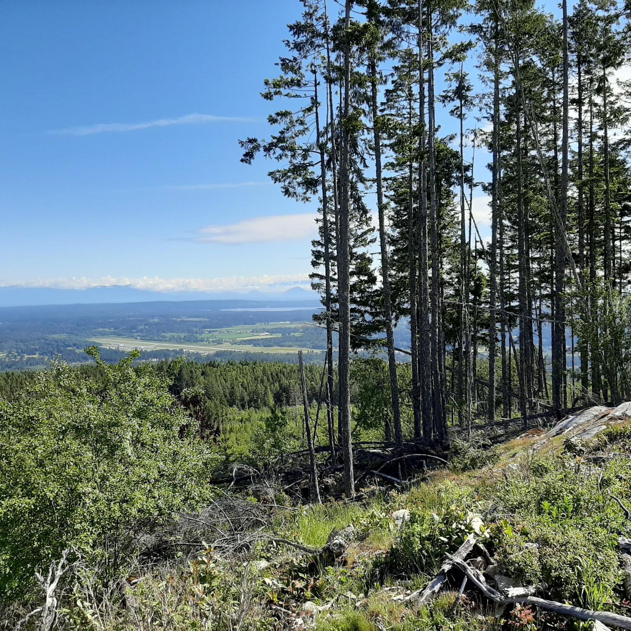
Maple Bay Beach is nestled in a small seaside community of a deep-water inlet in the Sansum Narrows. It is sheltered by surrounding land and Salt Spring Island, which usually gives it calmer waters.
0
0

Frequently Asked Questions
What is the general difficulty level of road cycling routes in Cowichan Valley G?
The Cowichan Valley G region features a mix of road cycling routes. While there are 3 easy routes perfect for beginners, the majority, about 10 routes, are classified as moderate, offering a good challenge for intermediate cyclists. There are no routes currently classified as difficult.
Are there any beginner-friendly road cycling routes in Cowichan Valley G?
Yes, Cowichan Valley G offers several beginner-friendly road cycling options. Routes like Priest Lake – Nicholson Cove loop from North Oyster and Priest Lake – Nicholson Cove loop from Pylades Drive Beach Access are classified as easy, providing a gentle introduction to road cycling in the area.
What kind of terrain can I expect on road cycling routes in Cowichan Valley G?
Road cycling routes in Cowichan Valley G traverse a diverse landscape. You can expect coastal stretches, island roads, and rolling hills. The region features a mix of forested areas and open vistas, with moderate climbs and descents providing varied terrain.
What are some of the longer road cycling routes in the Cowichan Valley G region?
For cyclists looking for longer rides, the Coffee Shack – View of Maple Bay loop from Ladysmith is a notable option, covering approximately 68.8 km (42.7 miles). Another substantial route is the Spotlight Cove – Sturdies Bay loop from Dionisio Point Provincial Park, which is about 49.2 km (30.6 miles) long.
Are there any loop road cycling trails in Cowichan Valley G?
Yes, many of the road cycling routes in Cowichan Valley G are designed as loops, offering convenient starting and ending points. Examples include the popular Spotlight Cove – Sturdies Bay loop from Dionisio Point Provincial Park and the Roadbike loop from Christ Church Gabriola.
What can I see along the road cycling routes in Cowichan Valley G?
As you cycle through Cowichan Valley G, you can discover various natural and man-made attractions. Keep an eye out for natural highlights like Heart Lake and Crystal Falls. You might also encounter interesting structures such as the Haslam Suspension Bridge and the vibrant Chemainus Murals.
What is the best season for road biking in Cowichan Valley G?
The best season for road biking in Cowichan Valley G is generally from late spring through early autumn (May to October). During these months, the weather is typically milder and drier, offering more comfortable riding conditions and better visibility of the scenic coastal and forested landscapes.
Are there road cycling routes suitable for families in Cowichan Valley G?
While specific 'family-friendly' designations aren't always explicit for road cycling, the easier routes in Cowichan Valley G, such as the Priest Lake – Nicholson Cove loop from North Oyster, with its lower elevation gain and shorter distance, could be suitable for families with older children who are comfortable on roads.
What do other road cyclists enjoy most about road cycling in Cowichan Valley G?
The road cycling routes in Cowichan Valley G are highly rated by the komoot community, with an average score of 5.0 stars. Reviewers often praise the diverse coastal roads, island loops, and rolling terrain, highlighting the scenic views and varied challenges available for different ability levels.
Are there any road cycling routes that offer scenic viewpoints in Cowichan Valley G?
Many routes in Cowichan Valley G offer scenic viewpoints due to the region's coastal and hilly nature. For instance, the Coffee Shack – View of Maple Bay loop from Ladysmith is known for its bay views, while island routes often provide expansive coastal scenery.
Are there any permit requirements for road biking on trails in Cowichan Valley G?
Generally, there are no specific permit requirements for road biking on public roads and designated cycling routes in the Cowichan Valley G region. However, it's always advisable to check local regulations if you plan to cycle through specific parks or private lands.
Are there options for advanced road cyclists in Cowichan Valley G?
While there are no routes explicitly graded as 'difficult,' advanced road cyclists will find challenging rides among the 10 moderate routes. These often feature significant elevation changes and longer distances, such as the Spotlight Cove – Sturdies Bay loop from Dionisio Point Provincial Park, which includes over 770 meters of elevation gain.
Most popular routes around Cowichan Valley G
Most popular attractions around Cowichan Valley G

Get inspired with the komoot mobile app


Explore more
Browse the best Road cycling routes in other regions.
