The best walks and hikes around Øvre Sjodalsvatnet
4.6
(1677)
9,062
hikers
54
hikes
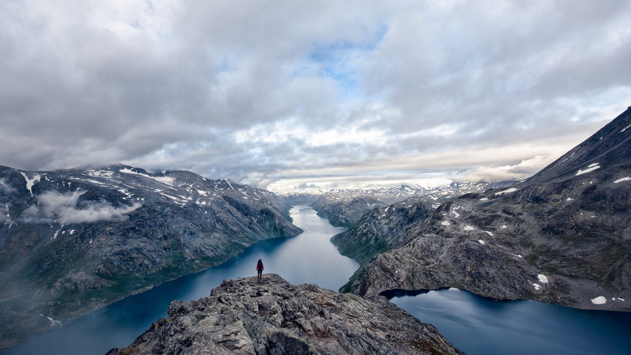
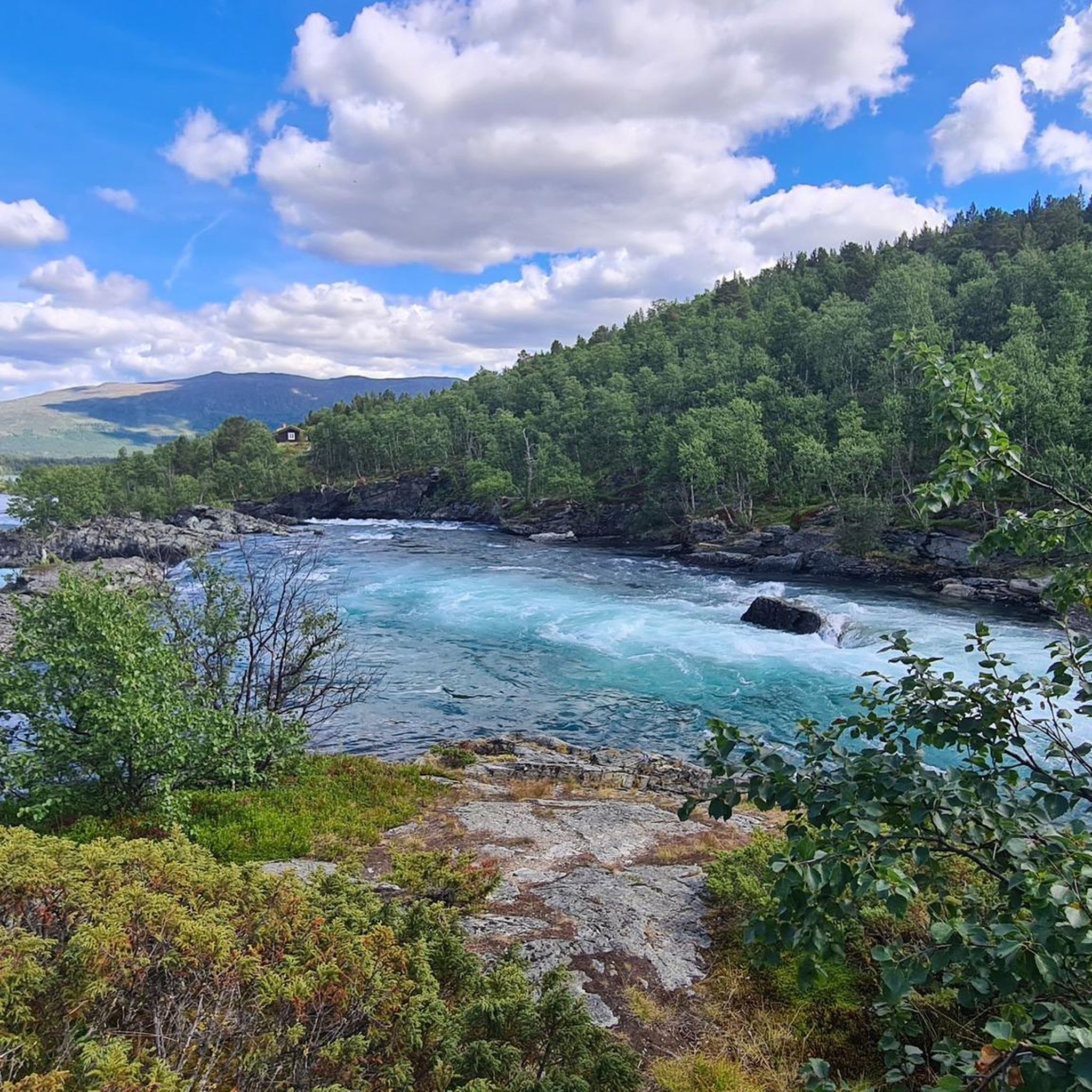
Hiking around Øvre Sjodalsvatnet offers access to the eastern part of the Jotunheimen mountain range in Innlandet County, Norway. The region is characterized by its picturesque lake, which is the source of the Sjoa River, and the Sjodalen valley featuring mountain pastures and forests. While situated just outside Jotunheimen National Park, the area presents open valleys and plateaus, with views of the green Sjoa River flanked by mountains. This landscape provides a diverse setting for outdoor activities.
Best hiking trails…
Last updated: July 1, 2026
4.8
(37)
155
hikers
16.2km
06:27
870m
870m
Hard hike. Very good fitness required. Mostly accessible paths. Sure-footedness required.
4.8
(32)
143
hikers
5.29km
02:03
390m
390m
Moderate hike. Good fitness required. Easily-accessible paths. Suitable for all skill levels.

Sign up for free
4.4
(9)
49
hikers
17.8km
07:27
1,060m
1,060m
Hard hike. Very good fitness required. Sure-footedness, sturdy shoes and alpine experience required.
4.0
(4)
24
hikers
Moderate hike. Good fitness required. Mostly accessible paths. Sure-footedness required.
5.0
(2)
15
hikers
Moderate hike. Good fitness required. Mostly accessible paths. Sure-footedness required.
Get access to more routes and recommendations from other explorers.
Sign up for free
Already have an account?
Our route recommendations are based on thousands of hikes, rides, and runs completed by other people on komoot.
Start today with a free account
Your next adventure awaits.
Login or Signup
Popular around Øvre Sjodalsvatnet

Other adventures around Øvre Sjodalsvatnet

Tips from the Community

The view of the lakes, from the ridge, is incredible so be sure to allow plenty of time for breaks. It's a demanding hike so you definitely need to be sure-footed. If you hike the entire ridge, hopefully you'll find a place to stay overnight in Mermurubu.
0
0
From the wooden bridge that crosses the stream, you can admire both the crystal-clear color of the torrent's waters and its power. A stop like an entrance into the wild world.
0
0

Unfortunately, I have a fear of heights, and this section was quite challenging for me in places. But it was doable. You definitely need sure footing and must concentrate solely on the rock. Dogs sometimes have to be carried. We saw someone turn back on the hike with a large dog. Hopefully, you'll catch the last ferry or find a place to stay in Mermurubu. The views, even up to the ridge, are simply wonderful.
0
0

A very beautiful, multi-tiered waterfall. Definitely worth a visit.
0
0
The waterfall is a worthwhile destination for a hike.
0
0

With luck you will meet them
0
0

At 5,718 feet (1,743 m), Veslfjellet is the highest point on the famous Besseggen Ridge. In contrast to some of the narrower sections on the route, the summit is relatively broad but the views are still spectacular.
0
0

Frequently Asked Questions
How many hiking trails are available around Øvre Sjodalsvatnet?
There are over 50 hiking routes around Øvre Sjodalsvatnet. This includes 8 easy trails, 26 moderate paths, and 22 more challenging routes, offering diverse options for all skill levels.
What kind of terrain and elevation can I expect on hikes in Øvre Sjodalsvatnet?
The terrain varies from gentle paths along the Sjoa River to more strenuous alpine ascents. You'll find large open valleys, undulating tundra plateaus, and trails leading to 2000-meter peaks. Elevation gains can range from minimal on easy routes to over 3,000 ft on difficult hikes.
Are there any family-friendly hiking options near Øvre Sjodalsvatnet?
Yes, the region offers several family-friendly hikes. Many of the 8 easy routes are suitable for families. The area's gentler, less alpine side, with open valleys and mountain pastures, provides a pleasant environment for walks with children.
Can I bring my dog on the hiking trails around Øvre Sjodalsvatnet?
Many trails in the Øvre Sjodalsvatnet area are suitable for dogs, but it's always recommended to keep them on a leash, especially in areas with livestock or wildlife. Check local regulations for specific trails, particularly within or near national park boundaries.
What are some notable natural features or landmarks to see while hiking?
Hikers can enjoy views of the picturesque Øvre Sjodalsvatnet lake and the green Sjoa River. The area is also close to the famous Besseggen Ridge, offering panoramic views. Other attractions include the historic Ridderspranget (Knight's Leap) and the beautiful mountain pastures of the Sjodalen valley.
Are there any circular walks available in the Øvre Sjodalsvatnet area?
Yes, there are several circular walks. For example, the Bessa Waterfall – Waterfall Near Bessvatnet loop from Bessa minikraftverk is a moderate 3.3-mile (5.3 km) option. Another is the more challenging Bessa Waterfall – View of Lake Gjende loop from Bessa minikraftverk, which is 8.9 miles (14.3 km).
What is the best time of year to go hiking in Øvre Sjodalsvatnet?
The best time for hiking is typically during the warmer months, from late spring to early autumn, when trails are clear of snow and the weather is most favorable. The region's drier climate compared to other parts of Jotunheimen can make it appealing during these seasons.
Where can I find parking for hiking trailheads in Øvre Sjodalsvatnet?
Parking is generally available at common starting points for popular trails. For instance, many routes, including those to Bessa Waterfall and Bessvatnet, often start from areas like Bessa minikraftverk, where parking facilities are typically provided for hikers.
What do other hikers enjoy most about hiking in Øvre Sjodalsvatnet?
The area is highly rated by the komoot community, with an average score of 4.6 stars from over 1,300 reviews. Hikers often praise the stunning natural landscapes, the variety of trails for different abilities, and the access to iconic hikes like Besseggen Ridge, all within a beautiful mountain valley setting.
Are there any challenging hikes for experienced trekkers?
Absolutely. For experienced trekkers, there are 22 difficult routes available. The famous Besseggen Ridge, though outside the immediate guide, is easily accessible from Sjodalen and offers a challenging 14 km trek with impressive panoramic views. Within the guide, the Bessvatnet – Bessa Waterfall loop from Bessa minikraftverk is a difficult 10.8-mile (17.4 km) trail through varied alpine terrain.
Are there any waterfalls to see on the hikes?
Yes, several routes feature waterfalls. For example, the Bessa Waterfall – Waterfall Near Bessvatnet loop from Bessa minikraftverk leads to a waterfall near Bessvatnet. The area is also known for the Bessegg Waterfall, which can be seen on some trails.
What kind of accommodation is available near Øvre Sjodalsvatnet?
Accommodation options in the area include Maurvangen campground and Bessheim mountain lodge, which are conveniently located near the lake and serve as excellent bases for exploring the surrounding trails and attractions.

Get inspired with the komoot mobile app


Explore more
Browse the best Hikes in other regions.
