The best running trails around Hauglandsvatnet
4.2
(24)
1,417
runners
71
runs
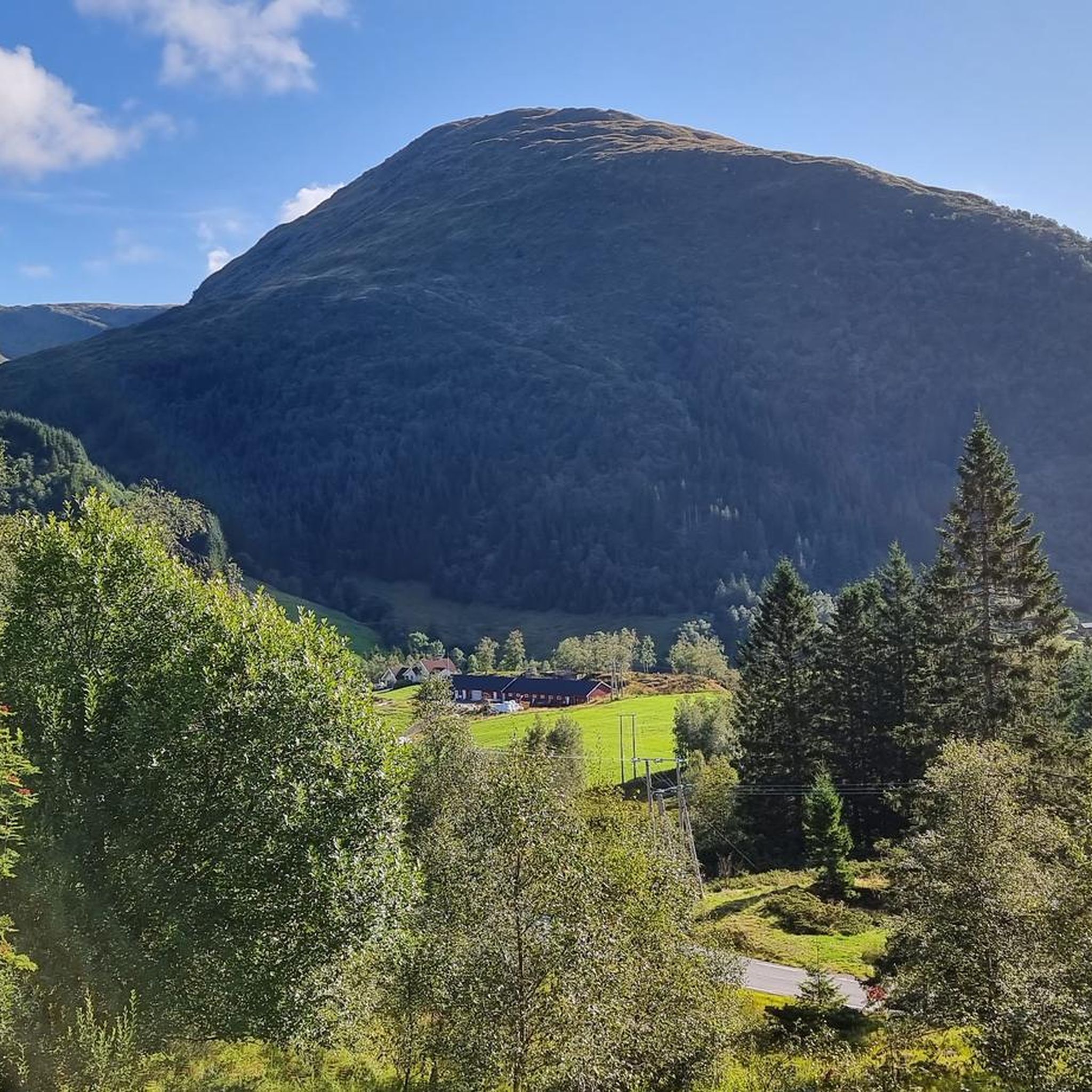
Jogging around Hauglandsvatnet offers diverse landscapes and natural features suitable for various fitness levels. The region is characterized by pristine mountain lakes and a rugged alpine environment, providing a tranquil setting for running. Varied terrain includes accessible paths and more challenging routes with elevation changes. This area is ideal for combining a jogging routine with an immersive natural experience.
Best jogging routes around Hauglandsvatnet
- The most popular jogging route is Kalandsvatnet loop from Kalandsvatnet, a 7.0 miles (11.3 km)…
Last updated: July 1, 2026
26
runners
11.3km
01:11
100m
100m
Moderate run. Good fitness required. Mostly paved surfaces. Suitable for all skill levels.
17
runners
9.76km
01:33
410m
410m
Hard run. Very good fitness required. Sure-footedness, sturdy shoes and alpine experience required.

Sign up for free
16
runners
18.2km
01:57
190m
190m
Hard run. Very good fitness required. Mostly paved surfaces. Suitable for all skill levels.
7
runners
8.66km
01:01
140m
140m
Moderate run. Good fitness required. Mostly paved surfaces. Suitable for all skill levels.
8
runners
23.2km
03:57
1,110m
1,110m
Hard run. Very good fitness required. Sure-footedness, sturdy shoes and alpine experience required.
Get access to more routes and recommendations from other explorers.
Sign up for free
Already have an account?
Our route recommendations are based on thousands of hikes, rides, and runs completed by other people on komoot.
Start today with a free account
Your next adventure awaits.
Login or Signup
Tips from the Community

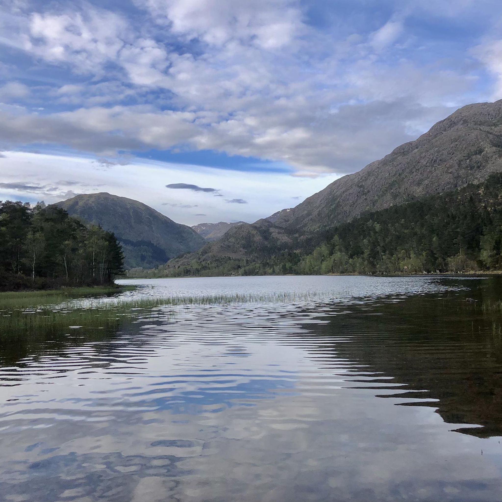
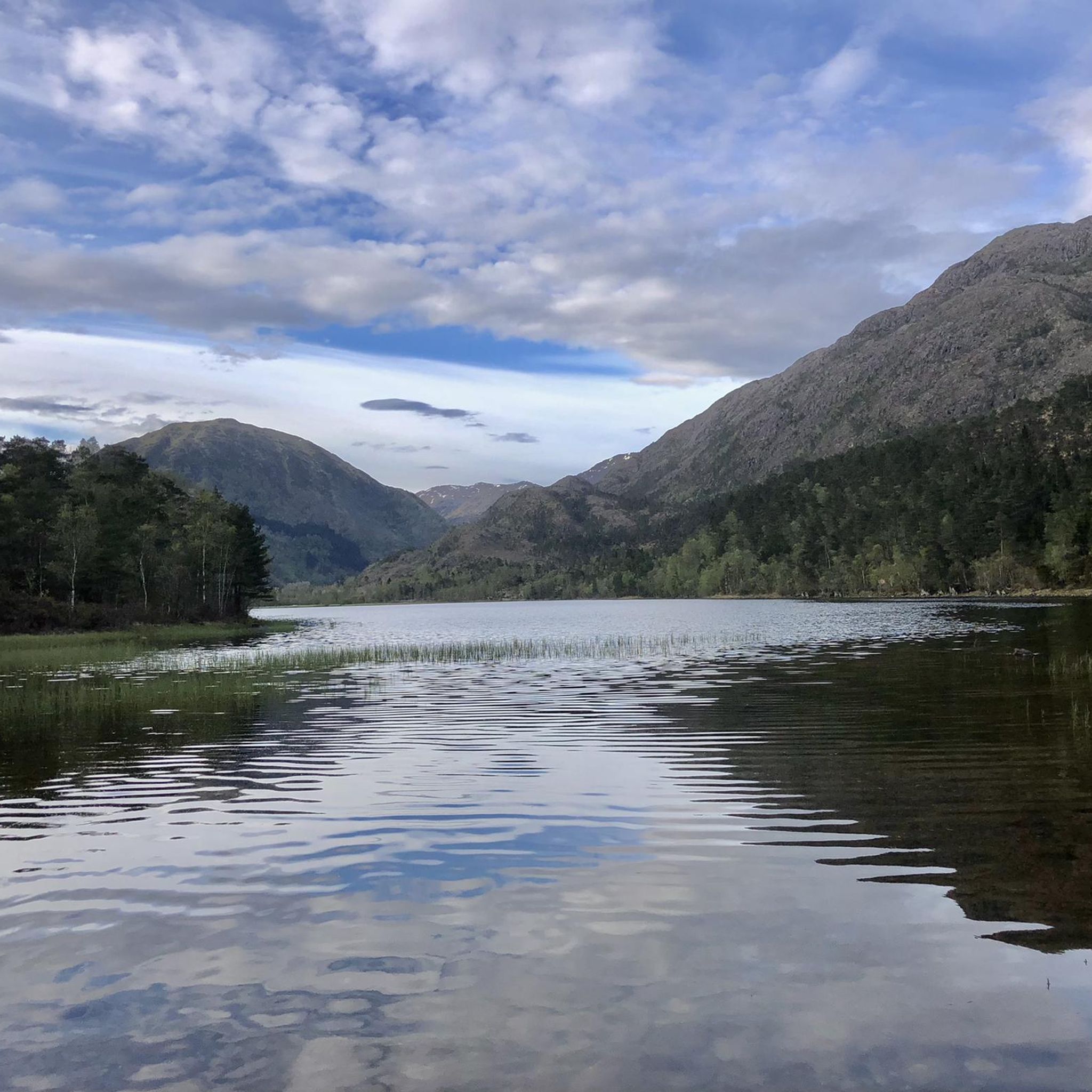
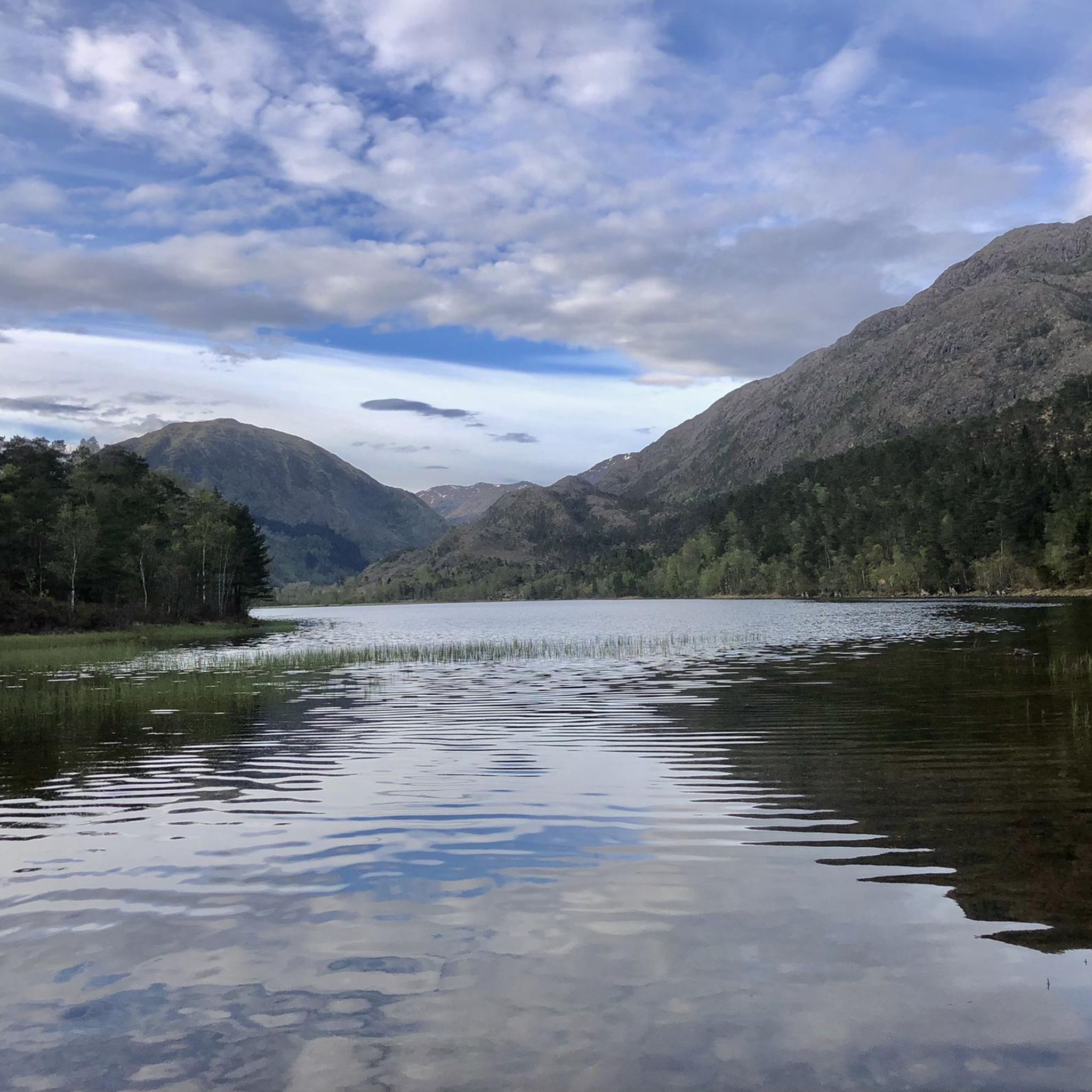
Kalandsvatnet is a large freshwater lake located south of Bergen. Roads follow parts of its shoreline and the bike path offers pleasant views across the expansive water.
0
0
Frequently Asked Questions
How many running routes are available around Hauglandsvatnet?
There are over 70 running routes in the Hauglandsvatnet area, catering to various fitness levels and preferences. These include a mix of easy paths, moderate trails, and more challenging routes with significant elevation changes.
What kind of terrain can I expect on the jogging trails in Hauglandsvatnet?
The Hauglandsvatnet region offers diverse landscapes, from accessible paths to rugged alpine environments. You'll find trails around pristine mountain lakes like Ytsta Raudilvatnet and Ytsta Raudlitjorna, with varied terrain that can include gentle slopes or more strenuous climbs, providing a tranquil and scenic backdrop for your run.
Are there different difficulty levels for running routes in Hauglandsvatnet?
Yes, Hauglandsvatnet offers a range of routes suitable for different abilities. You'll find approximately 5 easy routes for a gentle run, around 43 moderate trails, and about 27 difficult routes for those seeking a more strenuous workout with significant elevation gain.
What do other runners say about the trails in Hauglandsvatnet?
The running routes in Hauglandsvatnet are highly rated by the komoot community, with an average score of 4.1 stars from over 20 reviews. Runners often praise the varied terrain and the stunning natural beauty, particularly the pristine mountain lakes and scenic views, which make for an immersive outdoor experience.
Are there any circular running routes around Hauglandsvatnet?
Yes, many routes in the area are circular. For example, the Vinddalsvatnet loop from Syfteland is a moderate 8.7 km trail that takes about 1 hour to complete. Another option is the challenging Rambjørgvatnet – Livarden loop from Krekjebærhaugen, which is a longer 23 km route with significant elevation.
Are there family-friendly running routes in Hauglandsvatnet?
While specific 'family-friendly' routes aren't explicitly categorized, the region offers several easy and moderate paths that could be suitable for families. Look for routes with less elevation gain and shorter distances, such as those around the lakes, which provide a more accessible experience for all ages.
Can I bring my dog on the running trails in Hauglandsvatnet?
Generally, dogs are welcome on many outdoor trails in Norway, but it's always best to check local regulations for specific routes or protected areas. When running with your dog, ensure they are kept on a leash, especially during nesting seasons or near livestock, and always clean up after them.
Where can I park when visiting the running trails in Hauglandsvatnet?
Parking availability varies by trailhead. Many popular starting points, especially near larger lakes or villages like Krekjebærhaugen or Syfteland, typically have designated parking areas. It's advisable to check the specific route details on komoot for parking information related to your chosen trail.
Is Hauglandsvatnet accessible by public transport for runners?
Public transport options to the Hauglandsvatnet area may be limited, particularly to more remote trailheads. However, larger settlements like Kalandseidet, which is near some starting points, might have bus connections. For specific routes, it's recommended to research local bus schedules to plan your journey.
What are some scenic viewpoints or landmarks along the running routes?
The Hauglandsvatnet area is known for its scenic beauty. Many routes offer stunning views of pristine mountain lakes like Ytsta Raudilvatnet and Ytsta Raudlitjorna, where you can see the reflection of the rugged alpine environment. The presence of a 'Hut on the lake' also suggests numerous vantage points for breathtaking scenery during your run.
Are there any longer, more challenging running routes for experienced runners?
Absolutely. For experienced runners seeking a challenge, the Through green valleys – Kalandsvatnet loop from Syfteland is a difficult 18.2 km trail, often completed in about 1 hour 57 minutes. Another demanding option is the Ulvursfjellet – Ulvurslia loop from Krekjebærhaugen, a difficult 9.8 km path with significant elevation gain, offering expansive views of the rugged landscape.
When is the best time of year to go running in Hauglandsvatnet?
The best time for running in Hauglandsvatnet is typically during the warmer months, from late spring to early autumn (May to September), when trails are clear of snow and ice, and the weather is milder. This period allows for the most comfortable and accessible running experience amidst the natural beauty.
Most popular routes around Hauglandsvatnet

Get inspired with the komoot mobile app


Explore more
Browse the best Running Trails & Routes in other regions.
