The best walks and hikes around Hauglandsvatnet
4.3
(230)
1,595
hikers
67
hikes
Hiking around Hauglandsvatnet offers diverse trails within a serene lake environment in Hordaland, Norway. The region is characterized by the elongated Hauglandsvatnet lake, approximately 4.0 to 4.5 kilometers long, featuring islands like Langøyna. Surrounding the lake are largely undeveloped, forested areas and other pristine mountain lakes such as Ytsta Raudilvatnet, providing varied terrain for hikers. Trails range from easy walks with minimal elevation gain to more challenging treks involving significant ascents.
Best hiking trails around Hauglandsvatnet
- The most popular hiking…
Last updated: June 26, 2026
4.5
(2)
20
hikers
9.10km
02:53
370m
370m
Moderate hike. Good fitness required. Easily-accessible paths. Suitable for all skill levels.
1
hikers
5.81km
01:47
100m
100m
Moderate hike. Great for any fitness level. Mostly accessible paths. Sure-footedness required.

Sign up for free
5.0
(2)
5
hikers
10.1km
03:29
350m
350m
Moderate hike. Good fitness required. Mostly accessible paths. Sure-footedness required.
5.0
(1)
6
hikers
9.23km
03:04
320m
320m
Moderate hike. Good fitness required. Mostly accessible paths. Sure-footedness required.
4
hikers
5.93km
02:21
310m
310m
Moderate hike. Good fitness required. Mostly accessible paths. Sure-footedness required.
Get access to more routes and recommendations from other explorers.
Sign up for free
Already have an account?
Our route recommendations are based on thousands of hikes, rides, and runs completed by other people on komoot.
Start today with a free account
Your next adventure awaits.
Login or Signup
Tips from the Community

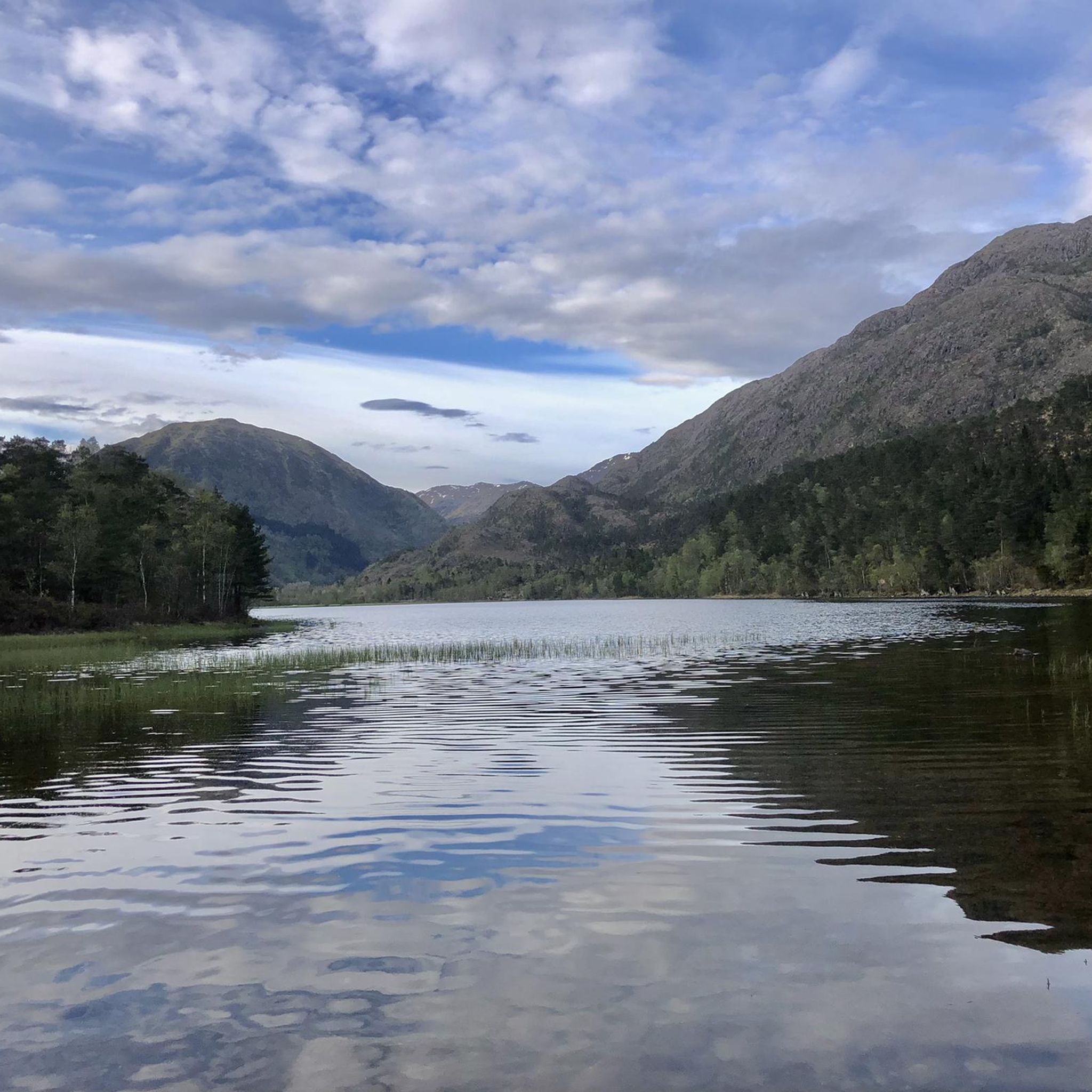
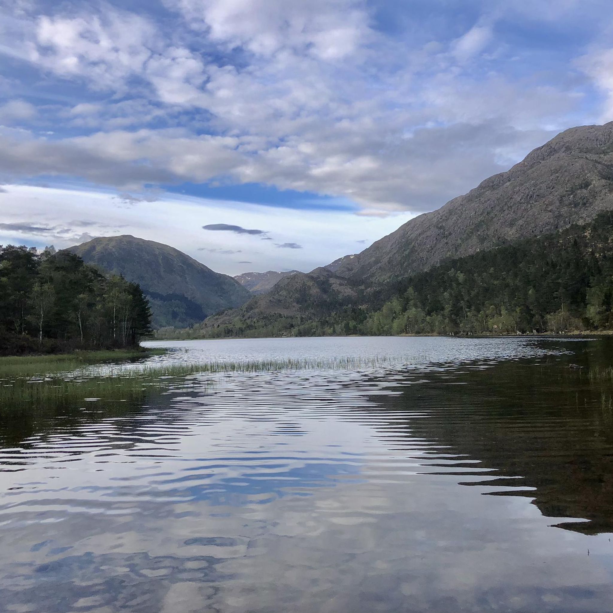
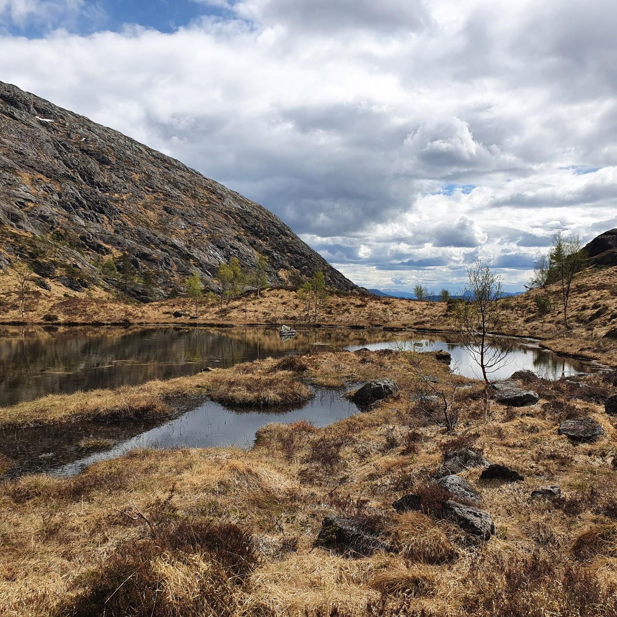
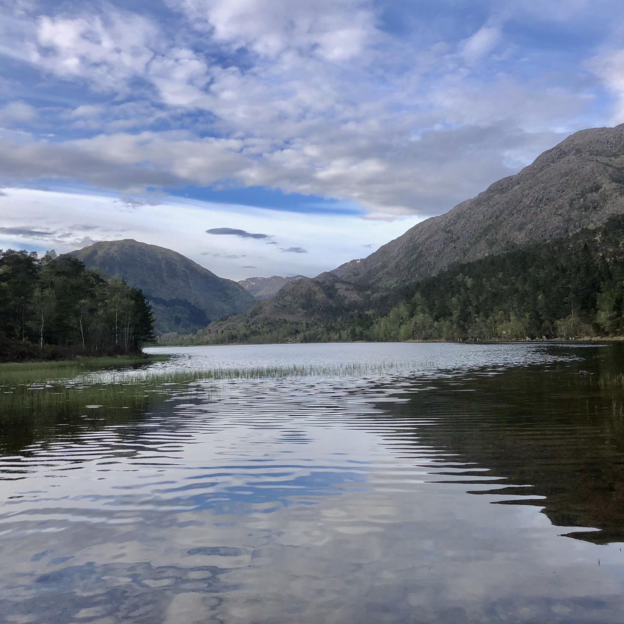
Ytsta Raudilvatnet is a pristine mountain lake in Norway known for its expansive waters and stunning natural surroundings, offering a peaceful retreat in the midst of rugged wilderness. Its size and remote location make it a remarkable spot for nature lovers and hikers seeking tranquility.
0
0
Small hut on the lake with stunning views.
0
0
Ytsta Raudlitjorna is a quiet lake nestled in the dramatic Norwegian mountains, reflecting the rugged beauty of its alpine surroundings.
0
0
Frequently Asked Questions
What types of hiking trails can I find around Hauglandsvatnet?
Hauglandsvatnet offers a diverse range of hiking experiences. You'll find trails suitable for all skill levels, from easy walks lasting under two hours with minimal elevation gain to more challenging treks that can exceed five hours and involve over 3,000 feet of ascent. The area features 67 hiking routes in total, with 21 easy, 39 moderate, and 7 difficult options.
Are there any family-friendly hiking options in Hauglandsvatnet?
Yes, Hauglandsvatnet has several easy trails perfect for families. These routes typically involve minimal elevation gain and shorter distances, making them suitable for younger hikers or those looking for a relaxed outing. Many paths offer serene lake views and a peaceful atmosphere.
What are the typical elevation gains on hikes around Hauglandsvatnet?
Elevation gains vary significantly. Easy walks might have minimal ascent, while moderate routes often feature around 300-400 meters (1,000-1,300 feet) of elevation gain. For example, the Kjerringaskaret – Solbakkafjellet loop from Kaland has an elevation gain of over 360 meters. Difficult trails can involve over 3,000 feet of climbing.
Are there any circular walks or loop trails available?
Yes, the Hauglandsvatnet area is well-suited for circular walks. Many popular routes are loops, allowing you to start and end at the same point. Examples include the Vedalshaugane – Vesterkulten loop from Syfteland and the Solbakkafjellet – Kjerringaskaret loop from Frotveit lysløype, both offering varied terrain and scenic views.
What natural features can I expect to see while hiking?
The region is defined by the elongated Hauglandsvatnet lake itself, with its tranquil waters and islands like Langøyna. You'll also encounter largely undeveloped, forested wilderness, especially on the eastern side of the lake. The area is part of the Oselvvassdraget water system, and you can explore other pristine mountain lakes such as Ytsta Raudilvatnet, which is the destination of the Ytsta Raudilvatnet hike.
What do other hikers say about the trails in Hauglandsvatnet?
The trails around Hauglandsvatnet are highly regarded by the komoot community, with an average rating of 4.3 stars from over 240 reviews. Hikers often praise the scenic lake views, the peaceful forested wilderness, and the variety of routes available for different ability levels.
Is it possible to reach Hauglandsvatnet by public transport?
While specific public transport routes directly to all trailheads might be limited, the Bergen municipality generally has bus services. It's advisable to check local bus schedules and routes from Bergen city center to areas surrounding Hauglandsvatnet for the most up-to-date information on accessibility.
Are there parking facilities available for hikers?
Parking availability can vary depending on the specific trailhead. Many popular starting points for hikes around Hauglandsvatnet, especially those near residential areas or recreational facilities, typically offer designated parking spaces. It's recommended to check the route details on komoot for specific parking information related to your chosen trail.
What is the best time of year to hike in Hauglandsvatnet?
The best time for hiking around Hauglandsvatnet is generally during the warmer months, from late spring to early autumn (May to September). During this period, the weather is milder, trails are typically clear of snow, and the natural scenery is at its most vibrant. Winter hiking is possible but requires appropriate gear and awareness of snow and ice conditions.
Are there any specific landmarks or points of interest along the trails?
While there are no specific historical landmarks, the natural features themselves are the main points of interest. The walking bridge connecting Langøyna island to the mainland is a notable feature on the lake. Additionally, the remote mountain lakes like Ytsta Raudilvatnet offer stunning natural surroundings and a sense of wilderness.
How long does it typically take to complete a hike in Hauglandsvatnet?
Hiking durations vary greatly depending on the trail's length and difficulty. Easy walks can be completed in under two hours. Moderate routes, such as the Vedalshaugane – Illelia loop from Røykenes (5.9 km), might take around 2 hours 20 minutes, while longer moderate loops like the Vedalshaugane – Vesterkulten loop from Syfteland (10.1 km) can take over 3 hours 20 minutes. Difficult treks can extend beyond five hours.
Most popular routes around Hauglandsvatnet

Get inspired with the komoot mobile app


Explore more
Browse the best Hikes in other regions.
