The best cycling routes around Hauglandsvatnet
4.4
(74)
723
riders
31
rides
Touring cycling around Hauglandsvatnet offers routes through a landscape characterized by an elongated lake, forested eastern shores, and a more developed western side with County Road 164. The lake, situated in Hauglandsdalen, features several islands, including Langøyna, connected by a footbridge. This area provides a mix of road cycling opportunities and natural, wooded surroundings within the broader Bergen region. The terrain includes gentle gradients around the lake and some routes with notable elevation changes.
Best touring cycling routes around Hauglandsvatnet
…Last updated: July 10, 2026
5.0
(1)
21
riders
41.2km
02:35
340m
340m
Moderate bike ride. Good fitness required. Mostly paved surfaces. Suitable for all skill levels.
7
riders
16.3km
01:06
210m
210m
Moderate bike ride. Good fitness required. Mostly paved surfaces. Suitable for all skill levels.

Sign up for free
4.5
(2)
10
riders
35.3km
03:00
720m
720m
Hard bike ride. Very good fitness required. Mostly paved surfaces. Suitable for all skill levels.
7
riders
21.0km
01:23
250m
250m
Moderate bike ride. Good fitness required. Mostly paved surfaces. Suitable for all skill levels.
4.2
(6)
90
riders
Moderate bike ride. Good fitness required. Mostly paved surfaces. Suitable for all skill levels.
Get access to more routes and recommendations from other explorers.
Sign up for free
Already have an account?
Our route recommendations are based on thousands of hikes, rides, and runs completed by other people on komoot.
Start today with a free account
Your next adventure awaits.
Login or Signup
Tips from the Community

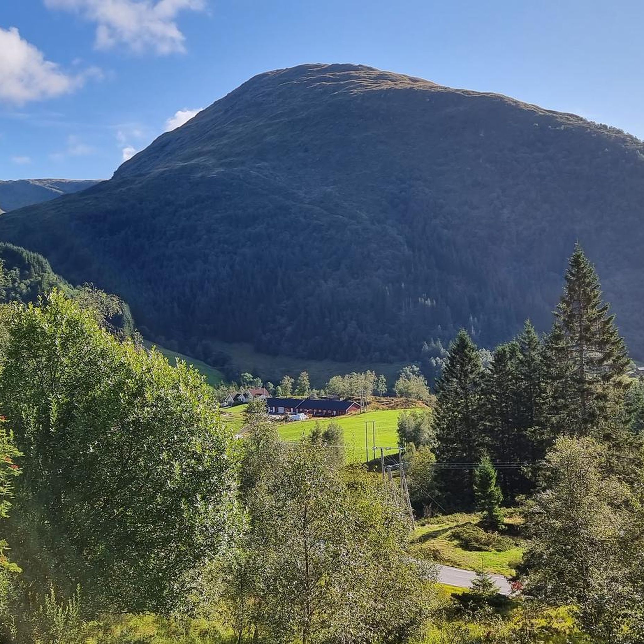
Fløyen is one of the "seven city mountains" in Bergen. The view from across the lake is magnificent.
0
0

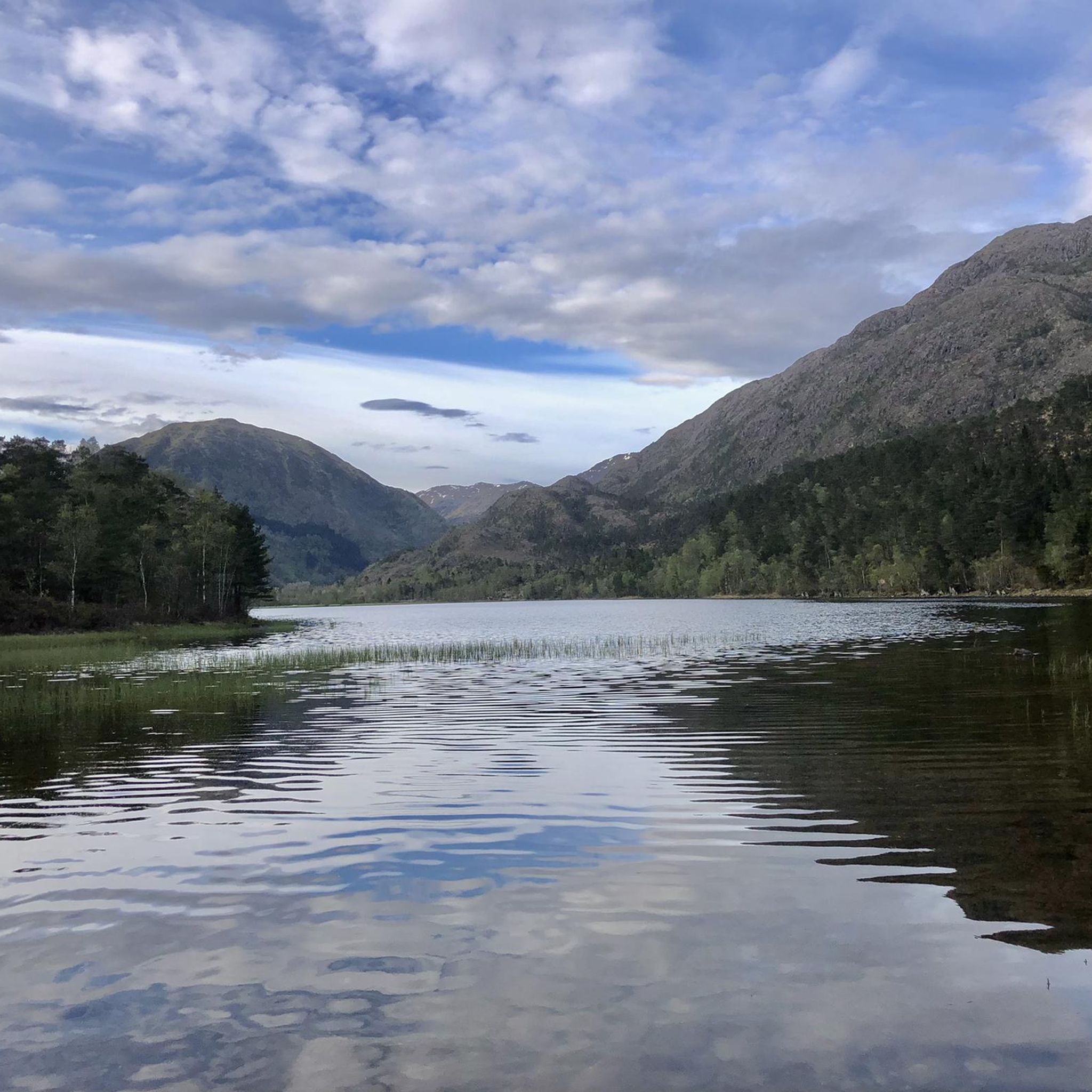
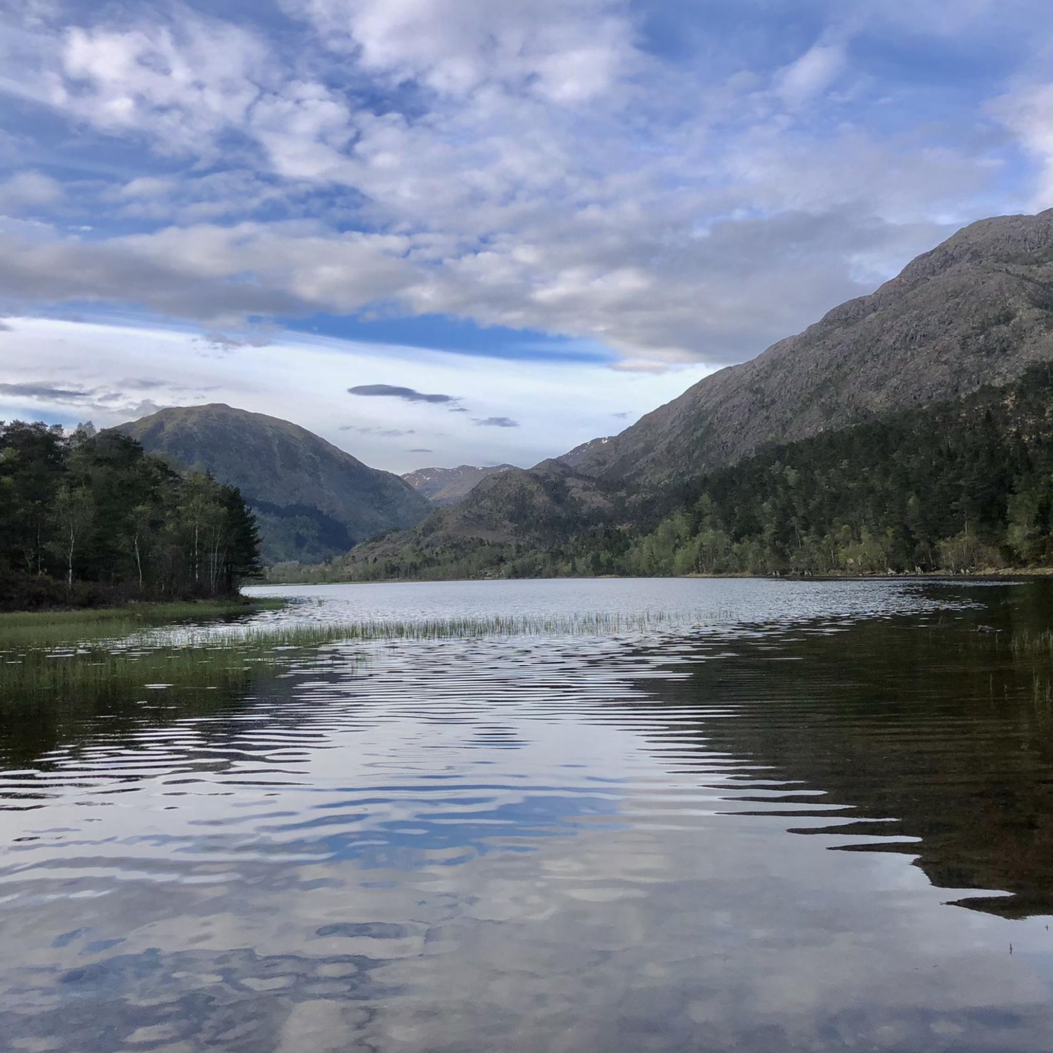
Kalandsvatnet is a large freshwater lake located south of Bergen. Roads follow parts of its shoreline and the bike path offers pleasant views across the expansive water.
0
0
The old Stend stasjon is a historic building from the former railway line (Osbanen). The station serves as a reminder of the area's railway past and is a noticeable landmark. It's worth a visit as you pass by.
0
0
Up the hill of Kirkebirkeland neighborhood, you can enjoy a nice view of Bergen.
1
0

New cycleway with good pavement. It's also seperate from the mainroad so you can enjoy a more quiet way.
0
1
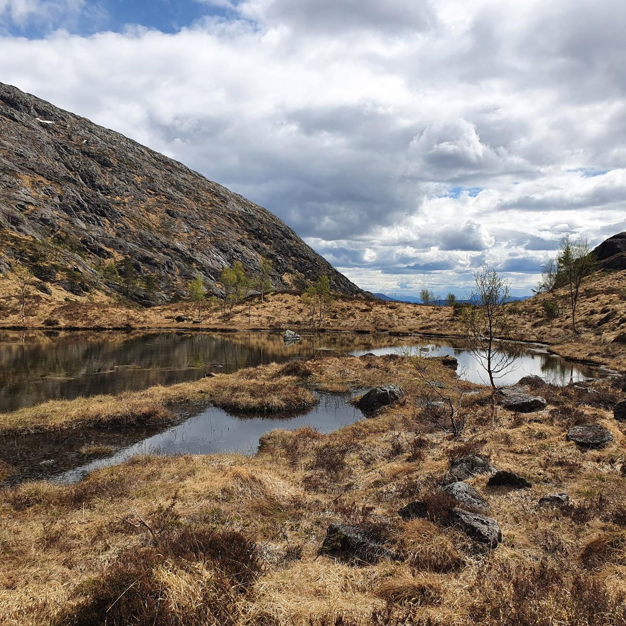
Nice quiet part through the rocks
1
0

A superbly developed bike path that takes you north to Bergen. Wide, with excellent asphalt and two lanes, it's a joy to cycle on. Heading south, past Kristianborg Station, you can also enter the Fyllingsdalen bike tunnel. At 3 km long, it's the longest bike tunnel in the world. It's fantastic how Bergen is investing in cycling infrastructure.
3
1
Frequently Asked Questions
What kind of terrain can I expect when touring cycling around Hauglandsvatnet?
The area offers a diverse landscape for touring cyclists. You'll find routes along the more developed western side with County Road 164, as well as through the largely forested and undeveloped eastern shores. The terrain includes gentle gradients around the lake, but also routes with notable elevation changes, particularly through the Hauglandsdalen area.
How many touring cycling routes are available around Hauglandsvatnet?
There are over 30 touring cycling routes around Hauglandsvatnet listed on komoot, catering to various skill levels. This includes 6 easy routes, 14 moderate routes, and 13 difficult routes.
Are there any family-friendly touring cycling routes in the Hauglandsvatnet area?
Yes, Hauglandsvatnet offers several routes suitable for families. There are 6 easy routes available, which typically feature gentler gradients and shorter distances, making them ideal for a relaxed family outing. For example, the Kalandsvatnet loop from Kirkebirkeland is a moderate 16.5 km trail that leads through scenic lake surroundings.
What is the best time of year to go touring cycling around Hauglandsvatnet?
The Bergen region, where Hauglandsvatnet is located, generally offers good cycling conditions from spring through autumn. Summer months (June-August) provide the warmest weather and longest daylight hours, ideal for longer tours. Spring and autumn can offer beautiful scenery with fewer crowds, though weather can be more variable.
Are there any circular touring cycling routes around Hauglandsvatnet?
Yes, many of the touring cycling routes around Hauglandsvatnet are designed as loops, allowing you to start and end at the same point. Examples include the popular Stend Station – Kalandsvatnet loop from Kalandsvatnet and the Kalandsvatnet – Stend Station loop from Os (tidligere).
What do other touring cyclists enjoy most about the Hauglandsvatnet area?
The area is highly rated by the komoot community, with an average score of 4.4 stars from over 50 reviews. Reviewers often praise the diverse landscape, which combines accessible road cycling with pristine natural, wooded areas, and the tranquil lake scenery. The variety of routes, from moderate loops to more challenging climbs, is also frequently highlighted.
Are there any particularly challenging touring cycling routes in the Hauglandsvatnet region?
Yes, for experienced touring cyclists seeking a challenge, there are 13 difficult routes available. These routes feature significant elevation gains. An example is the View of Totland and Fana – Bicycle underpass loop from Midttun, which includes over 700 meters of elevation gain.
What natural features can I expect to see while cycling around Hauglandsvatnet?
Hauglandsvatnet itself is a prominent natural feature, an elongated lake with tranquil waters and several islands, including Langøyna, which is connected by a footbridge. The eastern side of the lake is largely forested and undeveloped, offering a pristine natural experience, while the western side provides views of the lake alongside County Road 164. The routes also pass through the scenic Hauglandsdalen.
Is it possible to access touring cycling routes around Hauglandsvatnet using public transport?
Given Hauglandsvatnet's location within the Bergen municipality, it is generally well-connected. While specific public transport links directly to trailheads may vary, Bergen's public transport network often provides access to areas suitable for cycling. It's advisable to check local bus schedules for routes serving Hauglandsvatnet or nearby towns like Kalandseidet or Stend Station, which are starting points for some tours.
Are there any moderate touring cycling routes for those looking for a balanced challenge?
Yes, Hauglandsvatnet offers 14 moderate touring cycling routes. These routes provide a good balance of distance and elevation, suitable for cyclists with some experience. The Bicycle underpass – Stend Station loop from Midttun is a moderate 21.15 km route with over 250 meters of elevation gain, offering varied terrain.
Are there any facilities like cafes or accommodation along the touring cycling routes?
While the immediate eastern shore of Hauglandsvatnet is largely undeveloped, the western side and surrounding areas within the Bergen municipality are more developed. You may find facilities in nearby towns or along County Road 164. For specific amenities, it's recommended to check local maps or plan your route to pass through areas with services.
Most popular routes around Hauglandsvatnet

Get inspired with the komoot mobile app


Explore more
Browse the best Cycling routes in other regions.
