The best walks and hikes in Fall River County
4.6
(9)
76
hikers
2
hikes
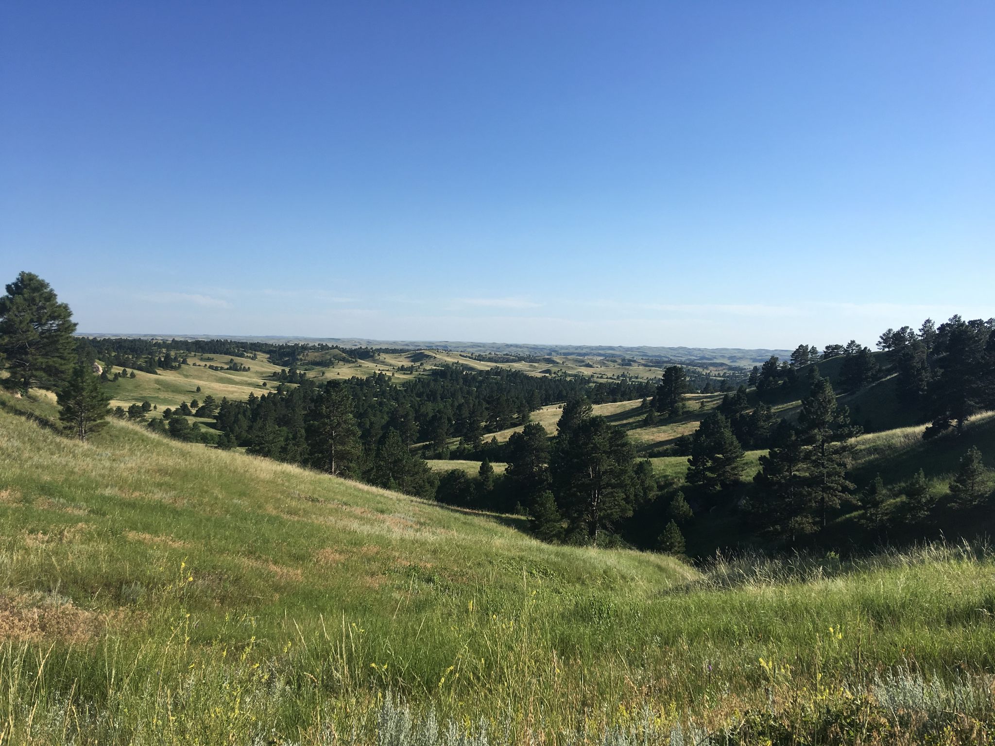
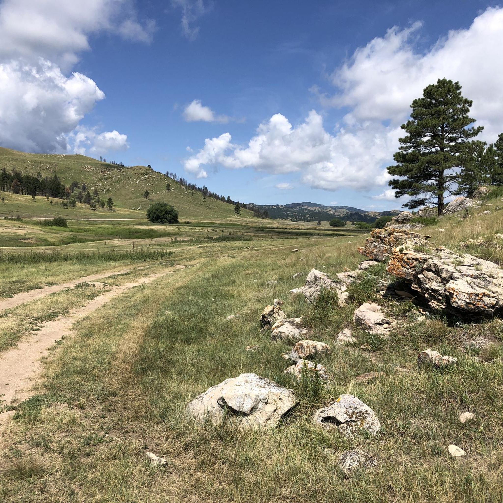
Hikes in Fall River County explore the southern Black Hills of South Dakota, a landscape of rolling prairies, forested hills, and canyons. The region includes parts of Wind Cave National Park and the Black Hills National Forest, offering trails that cross open grasslands and follow river corridors. The terrain is characterized by a mix of crushed-limestone paths, dirt trails, and paved walkways.
Best hiking trails in Fall River County
- The most popular hiking route is Wind Canyon and East Bison…
Last updated: September 28, 2026
4.8
(4)
31
hikers
4.85km
01:20
80m
80m
Easy hike. Great for any fitness level. Easily-accessible paths. Suitable for all skill levels.
5.0
(3)
24
hikers
2.20km
00:35
20m
20m
Easy hike. Great for any fitness level. Easily-accessible paths. Suitable for all skill levels.

4.0
(2)
20
hikers
5.78km
01:32
60m
60m
Easy hike. Great for any fitness level. Easily-accessible paths. Suitable for all skill levels.
16.1km
04:31
330m
330m
Moderate hike. Good fitness required. Easily-accessible paths. Suitable for all skill levels.
21.3km
05:37
190m
190m
Hard hike. Very good fitness required. Easily-accessible paths. Suitable for all skill levels.
Our route recommendations are based on thousands of hikes, rides, and runs completed by other people on komoot.
Start today with a free account
Your next adventure awaits.


Tips from the Community

Discreet and natural entrance to the wind cave.
1
0
Lots of bison and piairie dogs.
1
0
Always a good starting place for information.
1
0
An easy walk
1
0

The natural entrance to Wind Caves is very discreet. It has nothing to do with the gigantic underground caves that can be visited a little further away by going to the very busy Visitor Center. Here, it is the spiritual aspect that prevails. This modest entrance is, in fact, considered the place of emergence of the Lakota nation. Maka Oniye in Lakota means the earth that breathes. This underground origin is a sacred place for many Native American nations. Nothing stops you from meditating here and then taking the elevator a little further on which allows you to go into the bowels of the earth. The two sites are complementary.
2
0

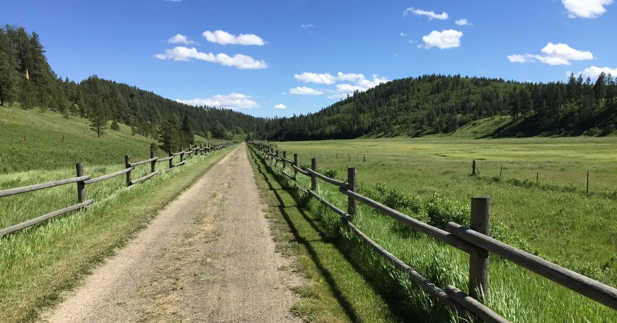
This is a long-distance multi-use trail running for 113 miles all the way from Deadwood to Edgemont. This section between Argyle and Minnekahta has gentle rolling hills and beautiful scenery of meadows, forest, and ponds along the way.
0
0

This is the location of the naturally formed entrance to Wind Cave. Contrary to the size and complexity of the cave beneath the ground, the entrance is only 10 inches wide. You can visit this site without a guide. If you want to enter the cave, you will need to hire a guide.
0
0
Frequently Asked Questions
Are there any easy, family-friendly hikes in Fall River County?
Yes, the area offers several accessible trails perfect for families. The Wind Cave Natural Entrance and Prairie Vista loop is a short, 1.4-mile (2.2 km) walk within Wind Cave National Park that's great for all ages. Another excellent option is the Freedom Trail in Hot Springs, a paved path that follows the Fall River through town, passing by small waterfalls and parks.
Can I bring my dog on the hiking trails?
Policies for dogs vary by location. In Wind Cave National Park, pets are generally not permitted on hiking trails but are allowed in the grassy areas near the visitor center. For a more dog-friendly experience, consider trails in the Black Hills National Forest or at Sheps Canyon Recreation Area, which features a horse trail that's also open to hikers. Always keep your dog on a leash and check local regulations before you go.
What are some challenging hikes in the area?
For those seeking a more strenuous challenge, the Argyle to Minnekahta via George S. Mickelson Trail offers a 13.2-mile (21.3 km) trek on a crushed-limestone surface. While not technically steep, its length provides a significant endurance test. Another demanding route popular with experienced hikers is the Sunday Gulch Trail near Sylvan Lake, known for its rugged terrain and stream crossings.
Are there any hikes with waterfalls in Fall River County?
Yes, you can see waterfalls in the region. Cascade Falls, located south of Hot Springs, is a popular spot with a series of small cascades flowing into a swimming area at the JH Keith Cascade Falls Picnic Area. The water comes from a warm spring, making it a unique feature. Additionally, the Freedom Trail in the town of Hot Springs follows the Fall River and passes several small, scenic waterfalls.
What is the best time of year to hike in Fall River County?
Spring and fall are ideal for hiking in Fall River County, offering pleasant temperatures and beautiful scenery. Summer can be hot, especially on exposed prairie trails, so it's best to start early in the day. Winter hiking is possible, but be prepared for snow and ice on the trails, particularly at higher elevations in the Black Hills.
What kind of wildlife might I see while hiking?
Wind Cave National Park is a prime location for wildlife viewing. On trails like the Wind Canyon and East Bison Flats Trails, you have a good chance of seeing bison, elk, pronghorn, and prairie dogs in their natural prairie habitat. The forested areas of the Black Hills are home to deer, wild turkeys, and a variety of bird species.
Are there any circular or loop trails available?
Yes, there are several loop trails. The Lookout Point Trail is a popular 4.5-mile loop known for its rolling hills and prairie views. Within Wind Cave National Park, you can find shorter loops like the 1.4-mile (2.2 km) Prairie Vista Trail, which is perfect for a quick and scenic walk.
Where can I hike in Wind Cave National Park?
Wind Cave National Park has over 30 miles of hiking trails. For an easy walk through a scenic canyon, the Wind Cave Canyon Trail is a great choice. For something a bit longer, the Cold Brook Canyon Trail to Fossil Ridge offers a 3-mile (4.8 km) out-and-back route through another of the park's beautiful canyons.
What should I pack for a day hike in Fall River County?
For any hike, you should carry plenty of water, especially during the summer. Sun protection, including a hat and sunscreen, is crucial for the exposed prairie trails. Sturdy hiking shoes are recommended for the varied terrain. It's also wise to pack snacks, a map, and a light jacket, as weather in the Black Hills can change quickly.
What do other hikers enjoy about Fall River County?
The area is highly rated by the komoot community. Hikers often praise the diversity of the landscape, from the open, wildlife-rich prairies of Wind Cave National Park to the forested canyons and unique geology. The well-maintained trails, like the George S. Mickelson Trail, and the sense of solitude on less-traveled paths are also frequently mentioned.
Are there any good places to hike near Angostura Reservoir?
Yes, the state recreation areas around Angostura Reservoir offer hiking opportunities. Angostura State Recreation Area itself has shorter hiking and biking trails with views of the water. For a more rugged experience, the nearby Sheps Canyon Recreation Area features a five-mile trail popular with both hikers and horseback riders that follows the shoreline.
Most popular routes in Fall River County

Get inspired with the komoot mobile app


Explore more
Browse the best Hikes in other regions.
