The best running trails in Carlton County
5.0
(2)
97
runners
9
runs
Jogging in Carlton County offers a diverse landscape characterized by rolling hills, dense woodlands, and river valleys. The region features several state parks and natural areas, providing varied terrain for runners. Elevation changes are present on many routes, with some trails offering significant climbs.
Best jogging routes in Carlton County
- The most popular jogging route is Ely's Peak – Enger Tower loop from Norton Park, a 38.0 miles (61.1 km) trail that takes about 7 hours 40 minutes to…
Last updated: June 25, 2026
24
runners
61.1km
07:40
1,330m
1,330m
Hard run. Very good fitness required. Mostly paved surfaces. Suitable for all skill levels.
11
runners
10.5km
01:14
200m
200m
Moderate run. Good fitness required. Mostly paved surfaces. Suitable for all skill levels.

Sign up for free
8
runners
5.40km
00:40
80m
80m
Moderate run. Good fitness required. Mostly paved surfaces. Suitable for all skill levels.
10
runners
35.3km
04:14
750m
750m
Hard run. Very good fitness required. Mostly paved surfaces. Suitable for all skill levels.
7
runners
64.0km
07:46
1,060m
1,060m
Hard run. Very good fitness required. Mostly paved surfaces. Suitable for all skill levels.
6
runners
9.82km
01:13
160m
160m
Moderate run. Good fitness required. Mostly paved surfaces. Suitable for all skill levels.
3
runners
6.13km
00:47
200m
200m
Moderate run. Good fitness required. Mostly paved surfaces. Suitable for all skill levels.
Get access to more routes and recommendations from other explorers.
Sign up for free
Already have an account?
Our route recommendations are based on thousands of hikes, rides, and runs completed by other people on komoot.
Start today with a free account
Your next adventure awaits.
Login or Signup
Popular around Carlton County

Running Trails in Jay Cooke State Park

Running Trails around Esko

North Country Trail – 4,800 Miles along the edge of northern U.S.
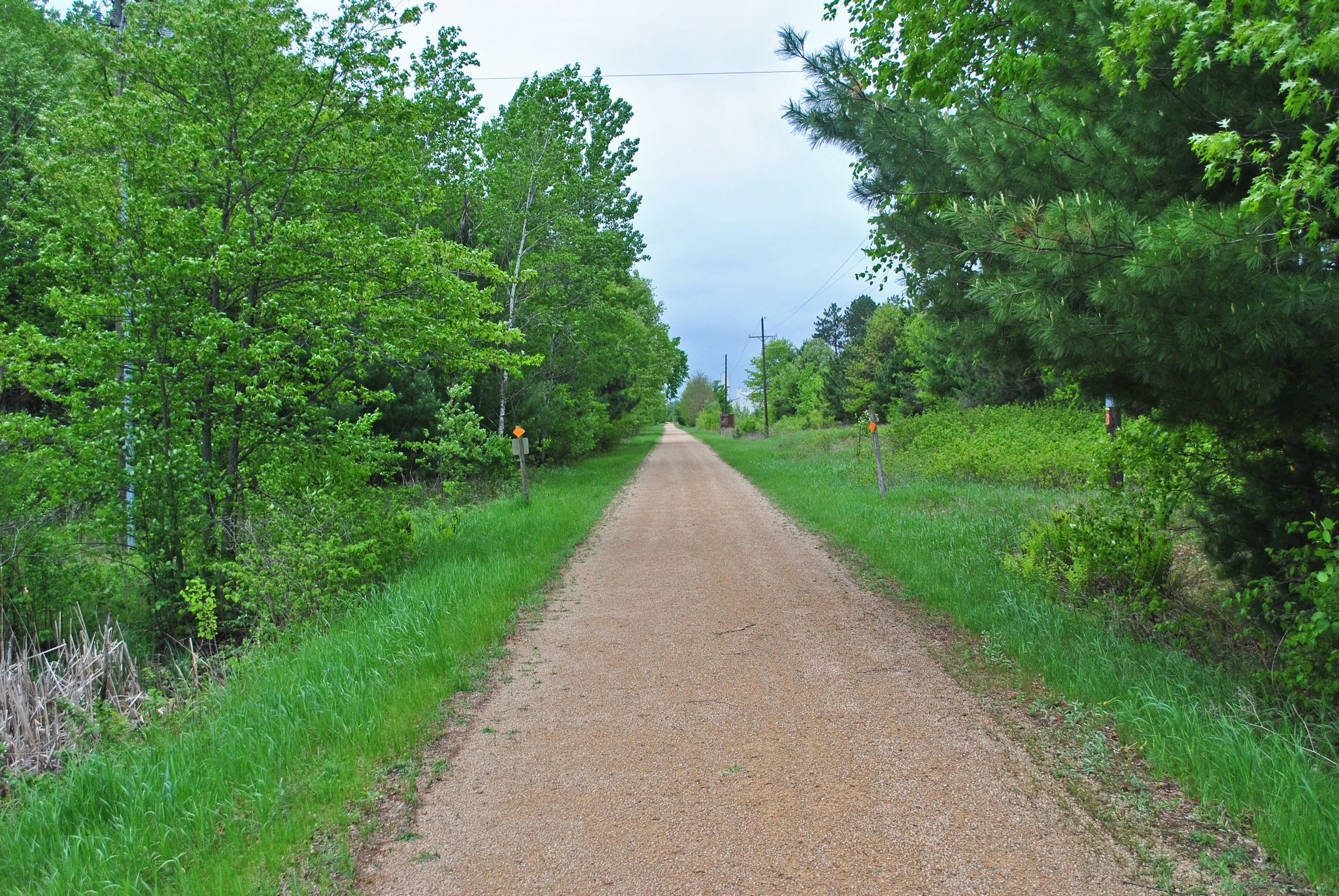
Gandy Dancer State Trail — In the footsteps of railroad workers
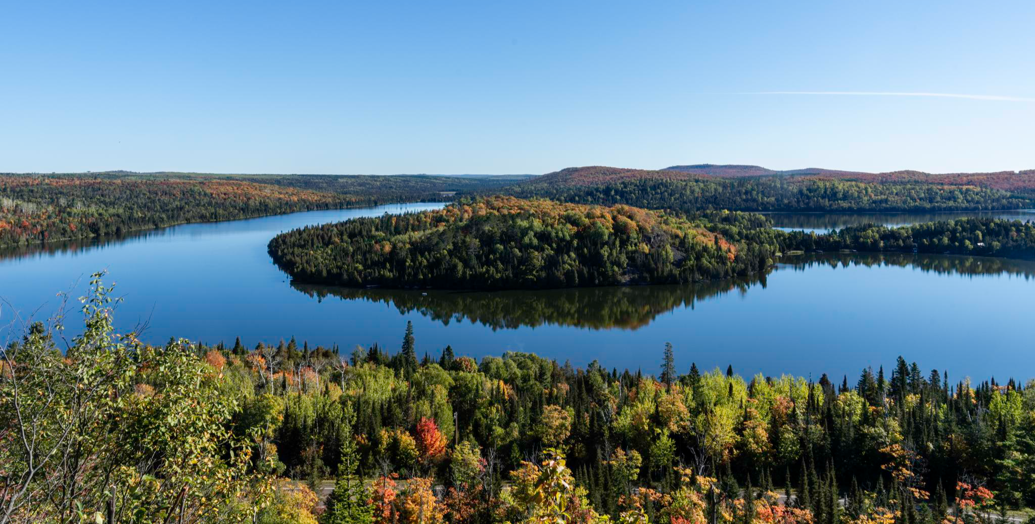
Superior Hiking Trail — Where the forest meets the lake

On the shores of the Great Lakes
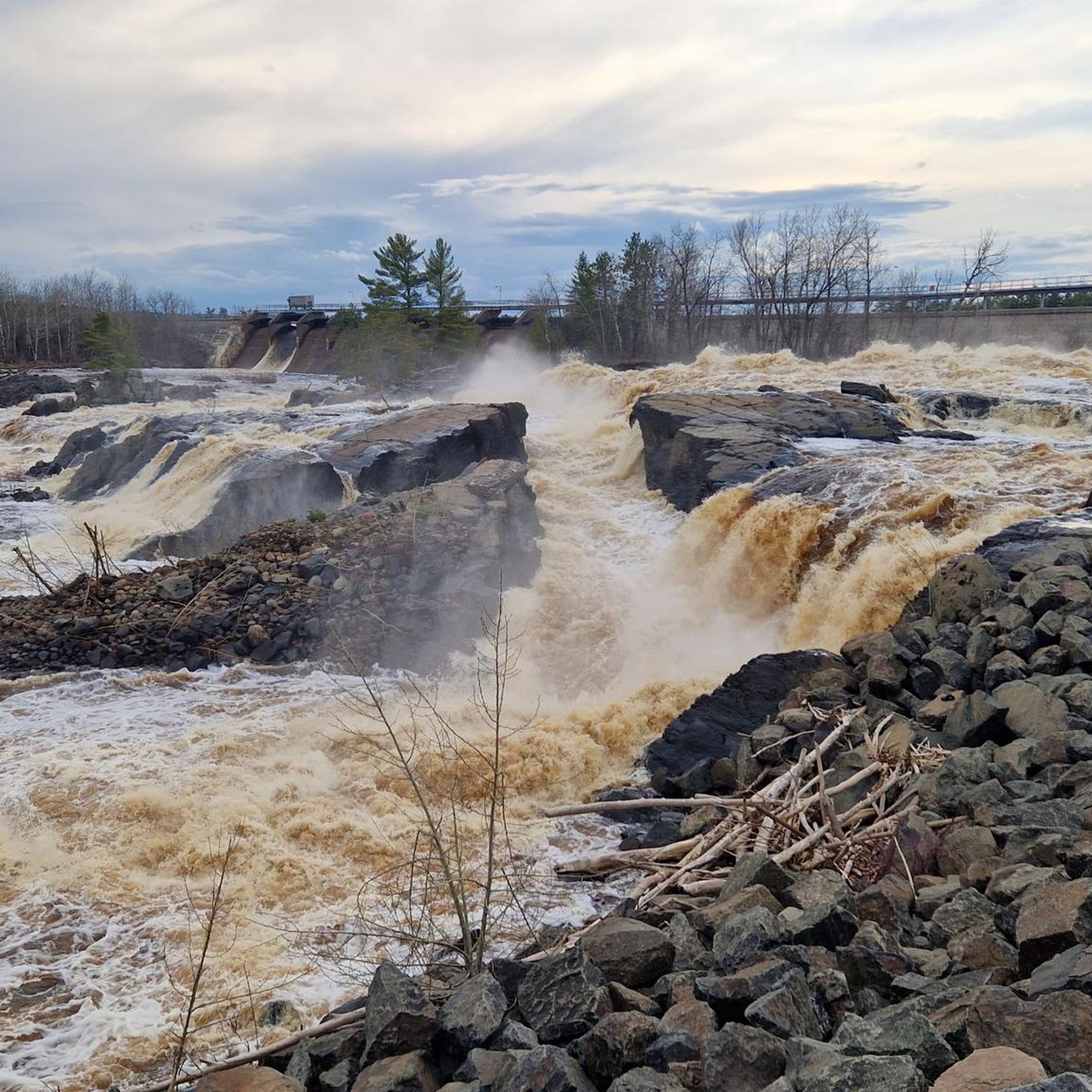
Hiking in Carlton County
MTB Trails in Carlton County
Cycling in Carlton County
Road Cycling Routes in Carlton County
Other adventures in Carlton County


Tips from the Community

Don’t miss the swinging bridge, a thrilling way to cross the Saint Louis River and admire the rugged gorge. The bridge was built in 1924 and rebuilt after a flood in 2012. It’s a symbol of the park and a great spot for photos.
2
0
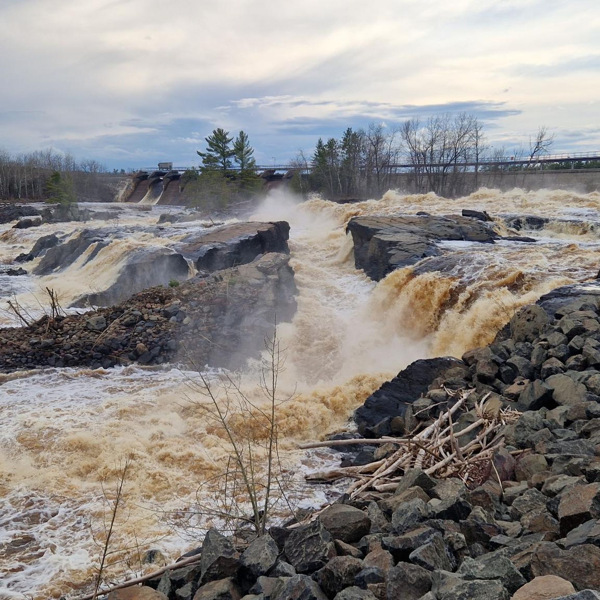
The Saint Louis River is a sight, especially from the historic truss bridge that crosses it on the William Munger Trail. You can feel the force of the water as it carves a deep gorge through the rocks, creating a dramatic contrast with the forested hills. The bridge is part of Jay Cooke State Park, where you can find plenty of hiking, biking, and camping. The park also features the Thomson Dam, a hint of Duluth’s industrial past.
2
0
One of the most scenic spots in Duluth is the Saint Louis River, where you can admire the rushing rapids and the rocky gorge carved by the water.
0
0
For a bird’s-eye view of Duluth and Lake Superior, hike up to Enger Tower, a stone tower perched on Enger Hill. This 80-foot landmark was built in honor of a local philanthropist and has five levels of windows to enjoy the scenery. You can also explore Enger Park, a green oasis with gardens, trails, and a Japanese peace bell.
1
0
Ely’s Peak is a rewarding hike that offers spectacular views of Duluth and beyond. The trail is part of the Superior Hiking Trail, a network of trails that spans the entire length of Minnesota. You can enjoy the scenery of forests, wildflowers, and rock formations along the way. The hike is moderately challenging but suitable for most skill levels. Ely’s Peak is a great way to experience the beauty and history of Duluth.
2
0

A beautiful view of the tiny falls.
0
0

Some amazing views of the St. Louis River Gorge. There's a nearly parking lot, so when I was biking through here, this section had a lot of pedestrians; that could change depending on the date and time you visit. There's also some trails down to the waters edge.
1
1
Frequently Asked Questions
Are there running routes in Carlton County suitable for beginners or those looking for an easier jog?
While Carlton County is known for its varied terrain, including significant elevation changes, there are moderate options available. For a relatively gentle run, consider the Running loop from Hermantown, which features minimal elevation gain over 6.7 kilometers.
Where can I find long-distance running trails in Carlton County?
Carlton County offers several challenging long-distance routes. For an extensive run, the Ely's Peak – Enger Tower loop from Norton Park spans over 61 kilometers with substantial elevation, making it ideal for endurance training. Another excellent option is the Bardon Peak – Ely's Peak loop from Midway Annex, covering 64 kilometers.
Are there jogging routes with significant elevation gain in Carlton County?
Yes, Carlton County is characterized by rolling hills and offers routes with considerable elevation. The Ely's Peak – Enger Tower loop from Norton Park, for example, includes over 1300 meters of ascent, providing a challenging workout for runners seeking elevation.
What kind of scenic views can I expect on running trails in Carlton County?
Carlton County's running routes often traverse dense woodlands, river valleys, and offer glimpses of the region's natural beauty. The Ely's Peak loop from Smithville provides varied terrain and scenic views around Ely's Peak. You might also encounter landmarks like the Saint Louis River Waterfall and Bridge View.
Are there any loop running trails in Carlton County?
Many of the running routes in Carlton County are designed as loops, offering convenient starting and ending points. Popular loop options include the Ely's Peak loop from Smithville, the Running loop from Jay Cooke State Park, and the Running loop from Fond du Lac.
What do other runners say about the trails in Carlton County?
The running routes in Carlton County are highly regarded by the komoot community, holding an average rating of 5.0 stars from over 2 reviews. Runners frequently praise the diverse terrain, the challenging elevation gains on some routes, and the natural beauty found within state parks like Jay Cooke.
Are there any notable landmarks or attractions along the running routes in Carlton County?
Yes, several routes pass by interesting points. For instance, you might encounter the Historic Truss Bridge on the Saint Louis River or the scenic Saint Louis River Waterfall and Bridge View. Jay Cooke State Park itself is a significant attraction with its unique geological features and river views.
What is the best season for jogging in Carlton County?
Carlton County offers distinct experiences throughout the year. Spring and fall provide comfortable temperatures and vibrant scenery, with autumn foliage being particularly stunning. Summer is also popular, though some trails might be busier. Winter running is possible, but trails may be snow-covered, requiring appropriate gear.
Are there family-friendly running routes in Carlton County?
While many routes feature varied terrain, some moderate loops are suitable for families looking for an outdoor activity. The Running loop from Jay Cooke State Park, at 5.4 kilometers, offers a manageable distance through a scenic park environment that families can enjoy.
How many running routes are available in Carlton County?
Carlton County features a selection of 9 dedicated running routes, catering to various fitness levels and preferences. These include a mix of moderate and difficult trails, ensuring options for both casual joggers and experienced runners.
Are there any quiet running trails in Carlton County for a peaceful experience?
Many of Carlton County's trails, especially those winding through dense woodlands and state parks, offer a peaceful running experience away from urban noise. Routes within areas like Jay Cooke State Park or those leading to Ely's Peak often provide quiet stretches, allowing runners to immerse themselves in nature.
Can I find running routes that are accessible by public transport in Carlton County?
While many routes in Carlton County are best accessed by car, some trailheads, particularly those closer to larger towns or parks, might have limited public transport options. It's advisable to check local transit schedules for specific routes or consider carpooling to reach more remote trailheads.
Most popular routes in Carlton County
Most popular attractions in Carlton County

Get inspired with the komoot mobile app


Didn’t find what you were looking for?
Check out more Running Trails & Routes throughout Carlton County below and find the perfect route in your destination.
Explore more
Browse the best Running Trails & Routes in other regions.
