The best road cycling routes in Connecticut
4.7
(583)
14,576
riders
2,235
rides
Road cycling in Connecticut offers diverse landscapes, characterized by a network of former rail corridors, scenic river valleys, and rolling hills. The state's terrain includes both flat, paved paths and routes with varied elevation, extending to coastal areas along Long Island Sound. This provides a range of cycling experiences across its farms, forests, and historic towns.
Best road cycling routes in Connecticut
- The most popular road cycling route is Farmington Canal Heritage Trail, a 26.7 miles (43.0 km) trail that takes 1 hour 55 minutes to complete. This easy route follows former rail corridors and canal towpaths through varied landscapes.
- Another top favourite among local road cyclists is Glastonbury to Gay City State Park loop, a moderate 27.0 miles (43.5 km) path. This route features varied elevation and leads to Gay City State Park.
- Local road cyclists also love the Farmington River and Nepaug Reservoir Loop, a 23.6 miles (38.0 km) trail leading through river valleys and past a reservoir, often completed in about 1 hour 52 minutes.
- Road cycling in Connecticut is defined by former rail trails, river valleys, and rolling hills. The network offers options for various ability levels, from easy, flat paths to routes with significant elevation gain.
- The routes in Connecticut are highly rated by the komoot community with an average score of 4.7 stars from over 490 reviews. More than 14,000 road cyclists have used komoot to explore Connecticut's varied terrain.
Last updated: September 27, 2026
65
riders
43.0km
01:56
150m
150m
The Farmington Canal Heritage Trail offers a delightful journey through Connecticut's varied landscape, transitioning smoothly from suburban woods to charming New England towns and open countryside. You'll glide along a mostly paved asphalt surface, enjoying views of the Farmington River in places and passing by historical remnants like the restored canal locks at Lock 12 Historical Park. It's a genuinely pleasant and accessible ride, perfect for soaking in the local atmosphere without strenuous effort.
Planning your visit is straightforward, as the trail is well-integrated with local towns, providing numerous parking options and convenient access to amenities like cafes and restrooms. Since it's a multi-use path, you'll share it with walkers and runners, so be mindful of the often-posted 12 mph speed limit. This easy 26.7-mile (43.0 km) route, with only 506 feet (154 metres) of elevation gain, can be comfortably completed in about 1 hour and 55 minutes, making it ideal for a leisurely outing.
What truly sets this trail apart is its rich historical significance, following the route of the longest canal in New England and later a railroad line. It's also a crucial segment of the East Coast Greenway, offering a significant car-free experience that connects seamlessly with other trails like the Southwick Rail Trail. This makes it a standout option for those seeking a long, uninterrupted ride through history and nature.
1.0
(1)
10
riders
43.5km
01:58
410m
410m
This moderate 27.0-mile road cycling loop from Glastonbury to Gay City State Park offers serene forest views and historical sights.

9
riders
38.0km
01:52
360m
360m
The Farmington River and Nepaug Reservoir Loop offers a truly diverse road cycling experience, guiding you through a blend of dedicated paved paths and on-road sections. You'll pedal alongside the scenic Farmington River, catching views of 19th-century mills and dams, before reaching the tranquil Nepaug Reservoir with its rolling hills and woodlands. This moderate 23.6-mile (38.0 km) loop, featuring 1190 feet (363 metres) of elevation gain, typically takes about 1 hour and 51 minutes, making it a rewarding ride for those seeking varied terrain and beautiful natural features.
When planning your ride, you'll find multiple parking locations along the route, offering easy access. While much of the trail is well-paved, be mindful that some on-road sections may lack shoulders and have traffic, which might be a consideration for beginner road cycling enthusiasts or families. The Nepaug Reservoir portion includes older paved roads that can be broken or have tree roots, so keep an eye on the surface.
This route is notable for its connection to the area's rich history, tracing parts of the old "Canal Line" railroad and passing by historic structures. It also links to the larger Farmington Canal Heritage Trail, allowing for extended rides if you're looking for more mileage. The charming Old Drake Hill Flower Bridge is a particular highlight, adding a unique touch to this top-rated cycling route in central Connecticut.
5.0
(5)
10
riders
30.8km
01:16
110m
110m
This easy 19.1-mile road cycling route combines the urban CTfastrak Multi-Use Trail with the scenic Trout Brook Trail in Connecticut.
5.0
(2)
5
riders
49.4km
02:11
340m
330m
The Farmington Canal Trail and Meriden Loop offers a delightful road cycling journey through Connecticut's varied landscapes. You'll pedal along mostly flat, paved paths, tracing historic canal and rail lines, with scenery shifting from lush forests and quiet residential areas to urban green spaces. Keep an eye out for historical remnants like restored canal locks and enjoy the natural beauty along the Quinnipiac River and around Shuttle Meadow Reservoir.
This moderate 30.7-mile (49.4 km) route, with 1099 feet (335 metres) of elevation gain, typically takes about 2 hours and 11 minutes to complete. Parking is generally available at various access points along both the Farmington Canal Heritage Trail and the Meriden Linear Trails. Since the route passes through several towns, you'll find plenty of opportunities for refreshments and amenities, making it easy to plan your stops.
This route is a significant part of the larger New Haven & Northampton Canal Greenway and the East Coast Greenway, highlighting its historical importance as a former canal and railroad corridor. The Meriden Linear Trails also contribute to urban greenways, providing valuable recreational space and connecting neighborhoods. It's a fantastic option for cyclists looking for a blend of history, nature, and accessible paved paths.
4
riders
51.6km
02:23
440m
440m
This moderate 32.1-mile road cycling route from Gardner Lake to Devil's Hopyard State Park offers scenic New England views and Chapman Falls
1
riders
50.6km
02:32
500m
500m
Cycle the Avon to Collinsville loop via East Coast Greenway, a moderate 31.5-mile road ride with 1649 feet of gain through varied Connecticu
2
riders
17.3km
00:47
80m
80m
Enjoy an easy 10.7-mile road cycling loop on the Trout Brook Trail, featuring a paved path, brookside views, and a scenic pond.
5.0
(2)
2
riders
54.0km
02:46
590m
590m
This moderate 33.6-mile road cycling loop near Norwich, Connecticut, offers 1945 feet of elevation gain and scenic New England countryside.
58.0km
02:50
660m
660m
This 36.0-mile road cycling loop from Barkhamsted to Simsbury offers a moderate challenge with 2180 feet of elevation gain.
Get access to more routes and recommendations from other explorers.
Already have an account?
Our route recommendations are based on thousands of hikes, rides, and runs completed by other people on komoot.
Start today with a free account
Your next adventure awaits.
Popular around Connecticut
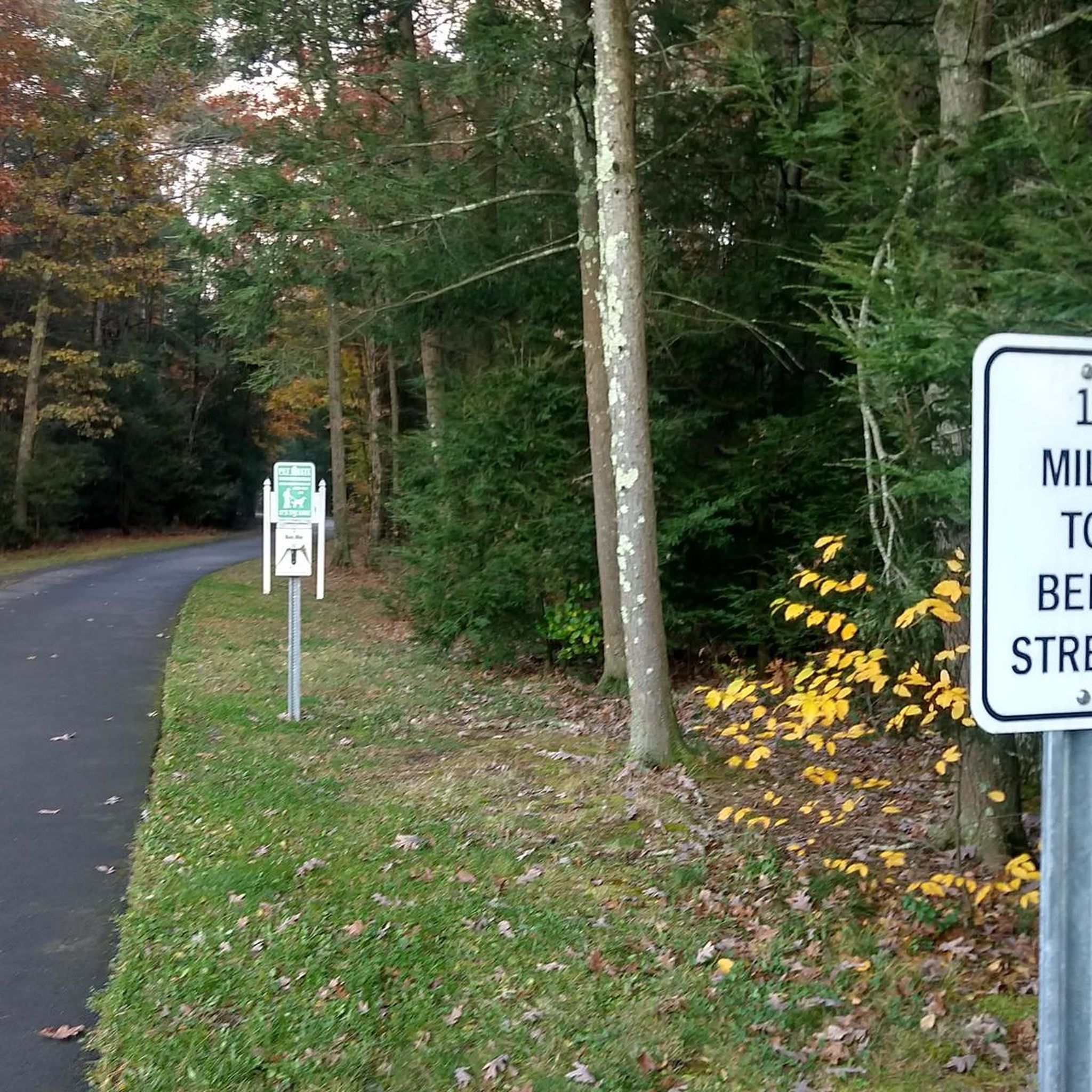
Road Cycling Routes in Capitol Planning Region
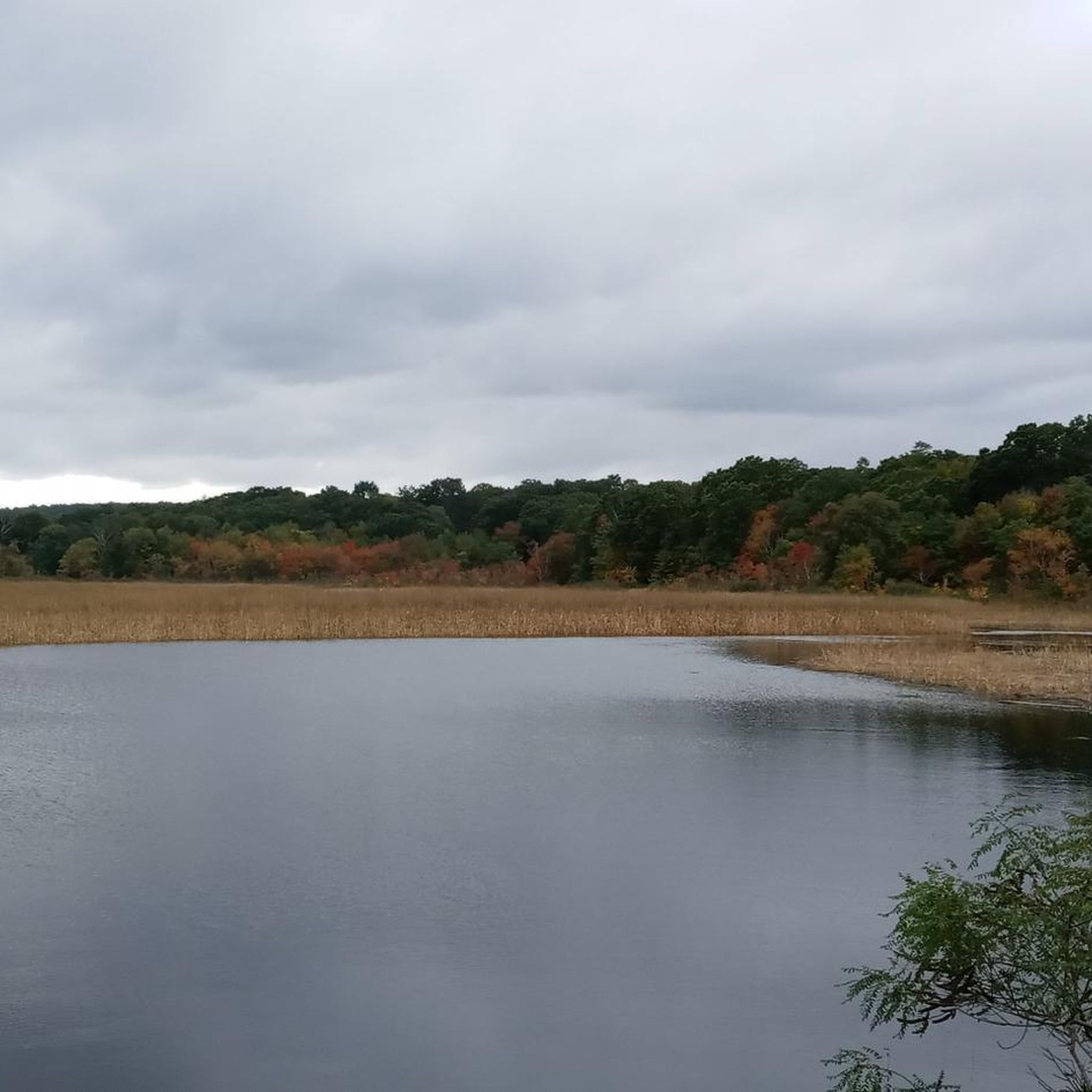
Road Cycling Routes in South Central Connecticut Planning Region
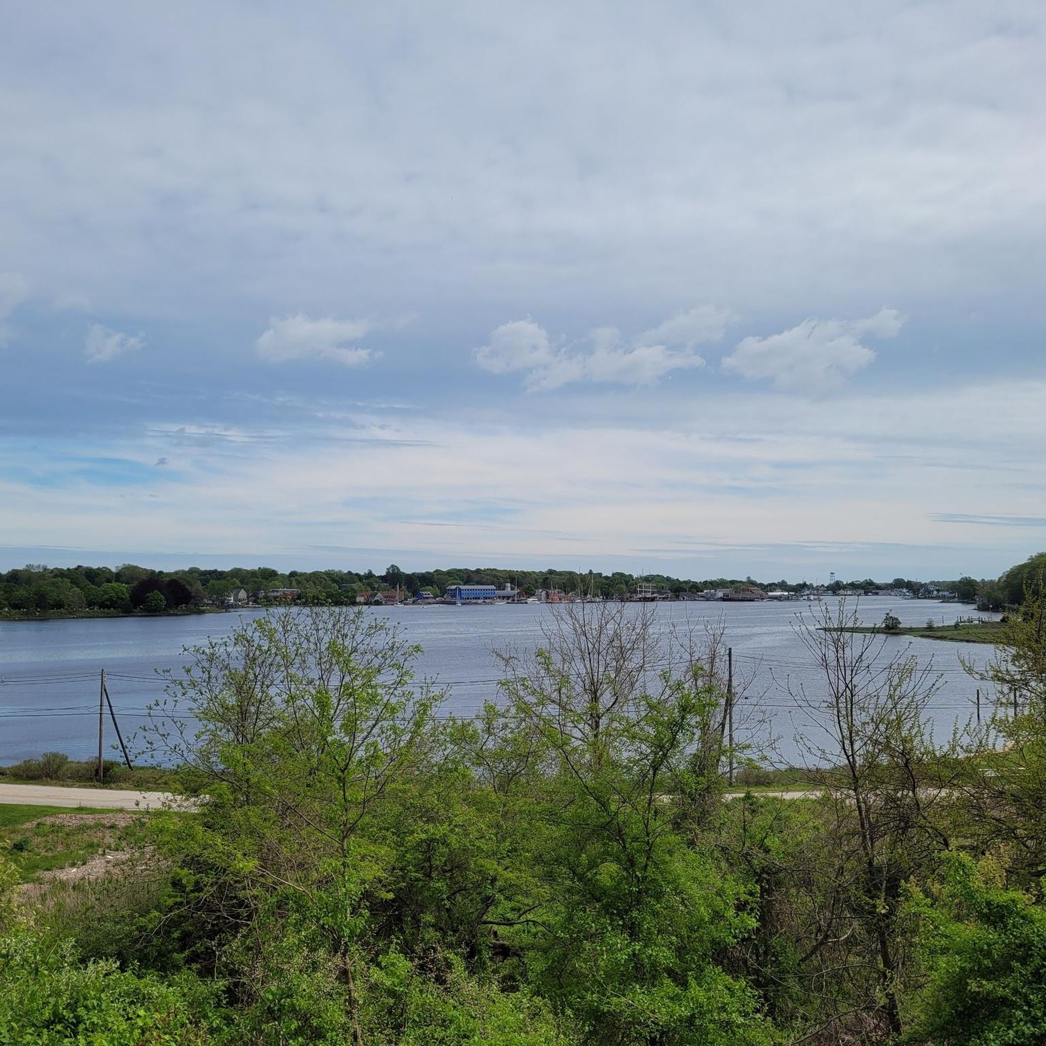
Road Cycling Routes in Southeastern Connecticut Planning Region
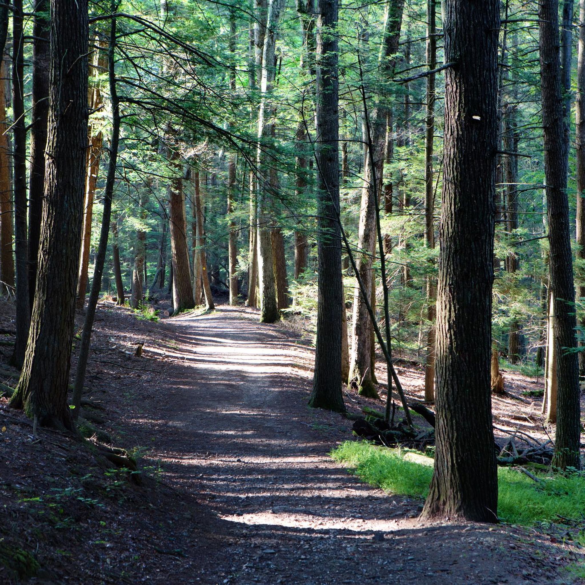
Road Cycling Routes in Western Connecticut Planning Region
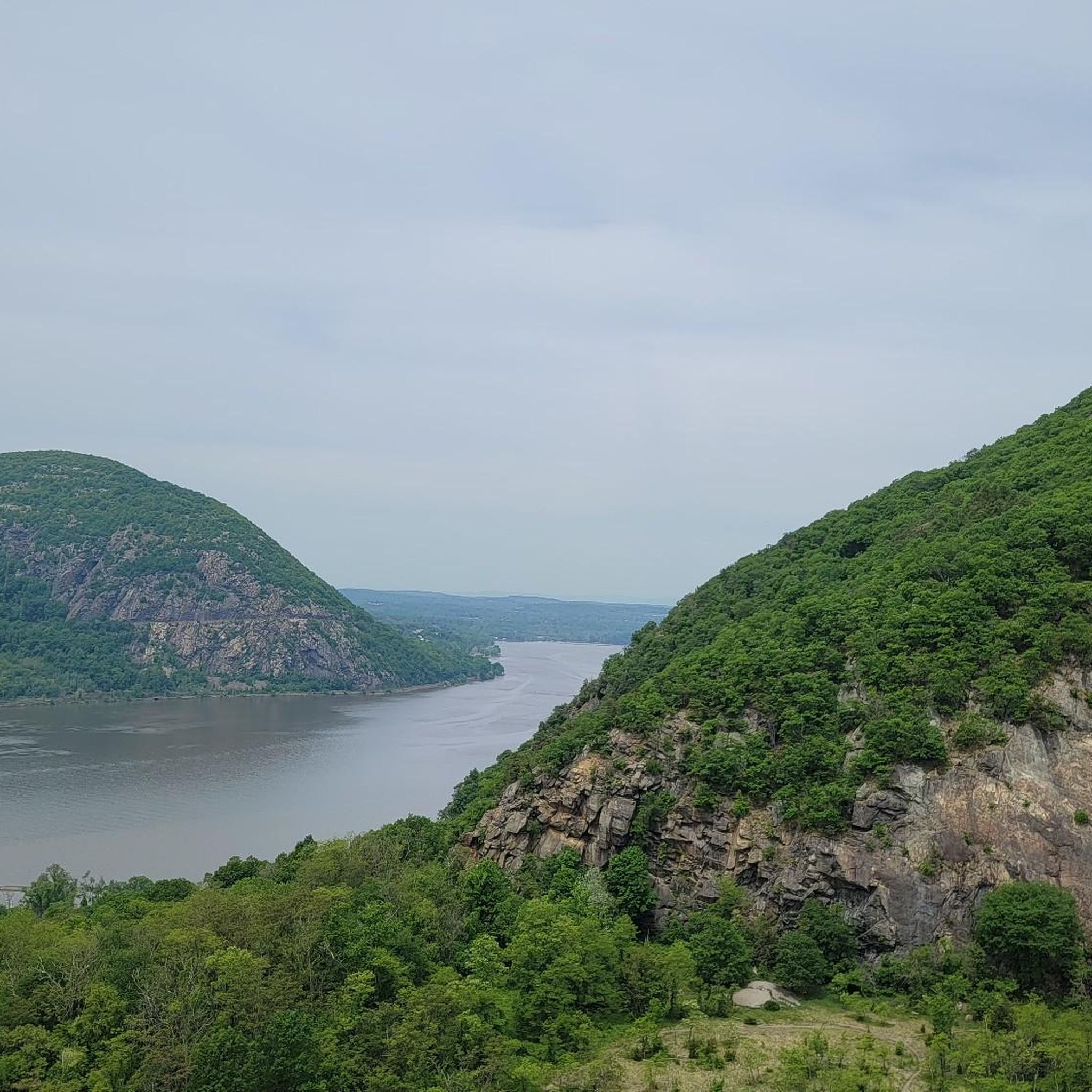
Road Cycling Routes in Northwest Hills Planning Region
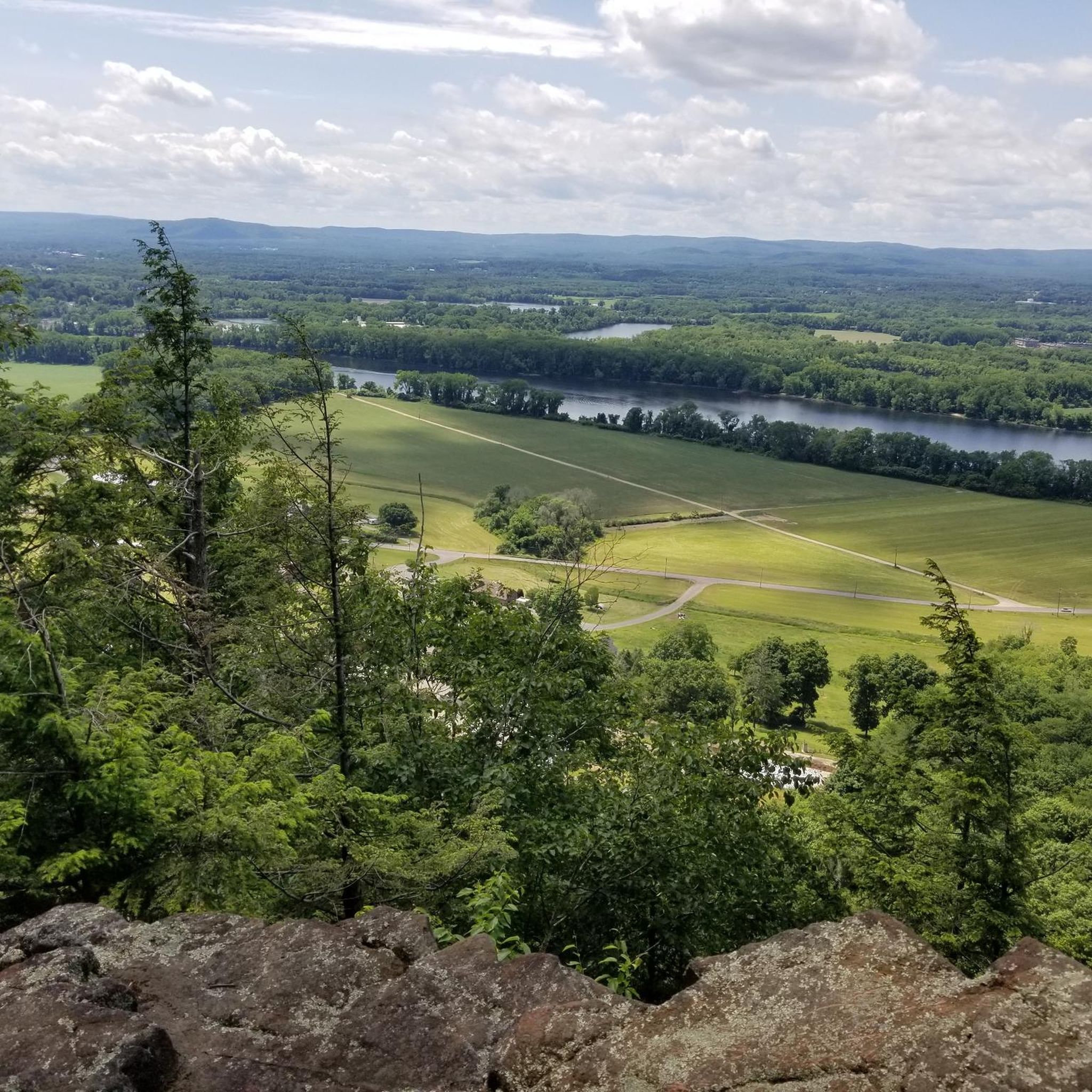
Road Cycling Routes in Lower Connecticut River Valley Planning Region
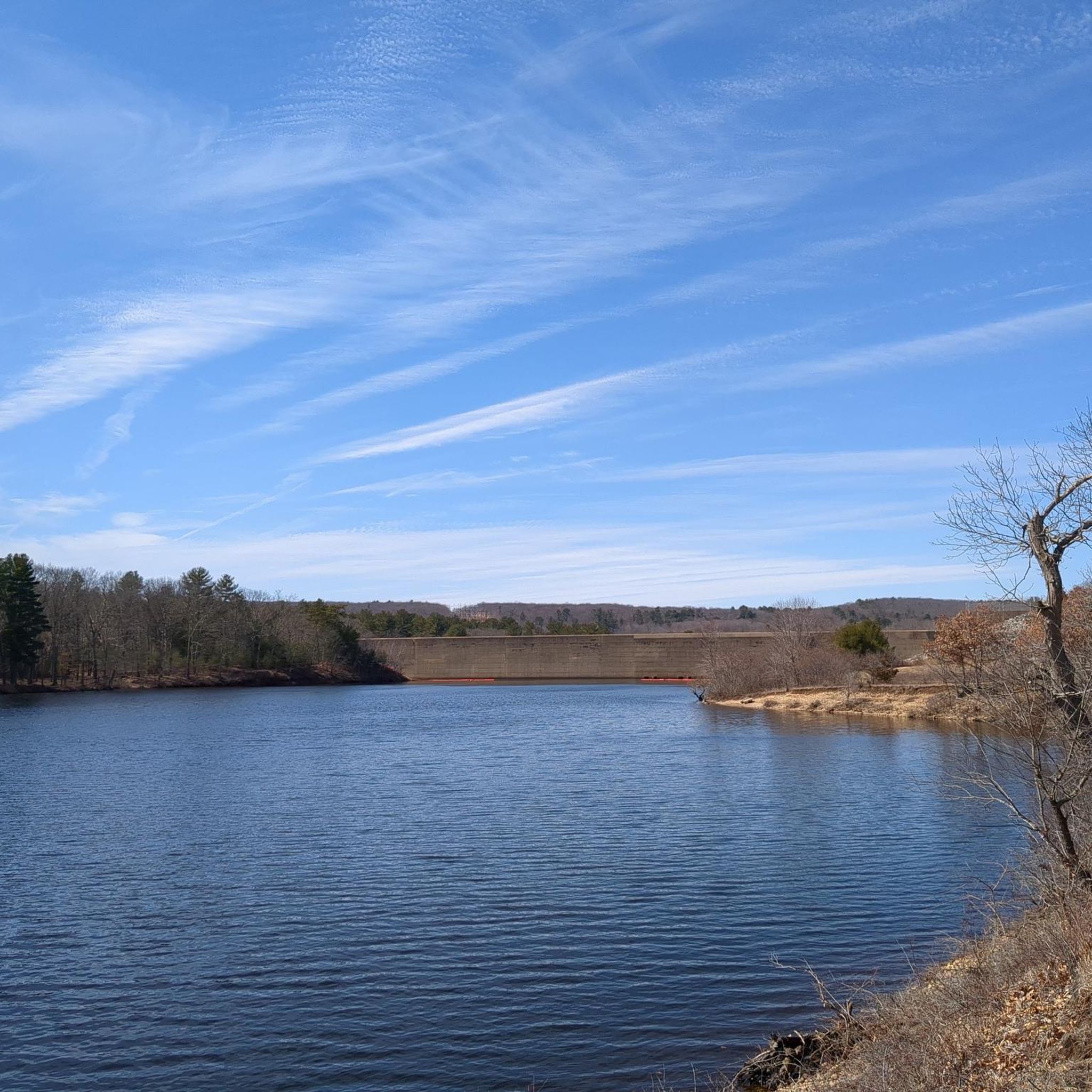
Road Cycling Routes in Northeastern Connecticut Planning Region
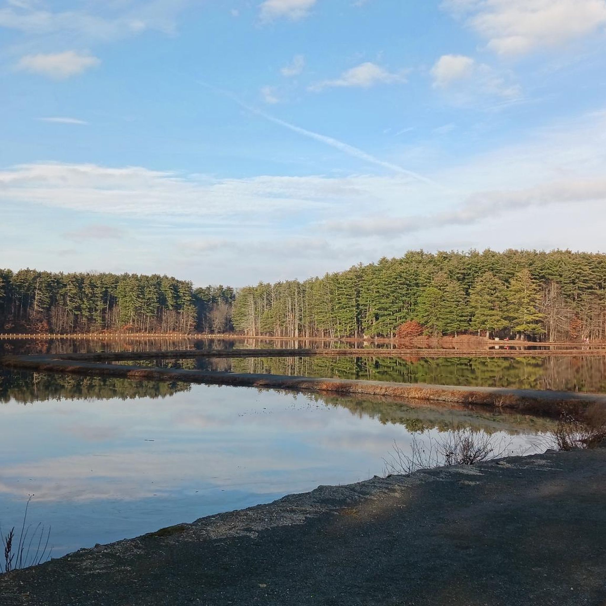
Road Cycling Routes in Tolland County
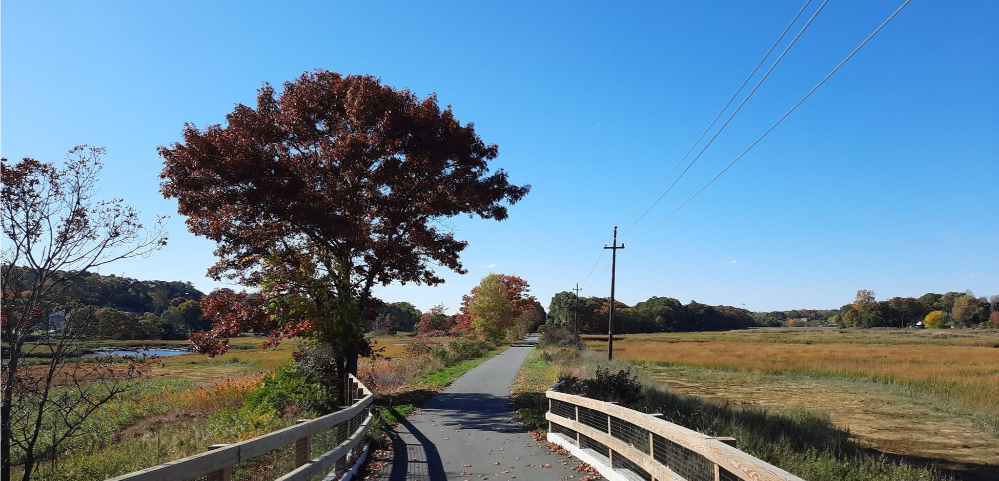
East Coast Greenway — An unforgettable ride along the Atlantic Seaboard

The Appalachian Trail — America's most iconic long-distance hike
Other adventures in Connecticut


Tips from the Community


This is the entrance to the path that has multiple waterfalls on it. The path that leads to the falls is not suitable for a bike, but it is worth taking a break, finding a spot to leave the bike, and walking to visit the falls.
0
0

Tuller Reservoir in the Meadow Pond area is a great fishing spot, nestled in a green area of the Appalachian Mountains. Fish species like Yellow bullhead, Largemouth Bass and Channel catfish have been caught here.
0
0
The CTfastrak Trail is part of Connecticut's first bus rapid transit line. There is a multi-use paved path for walking and bicycling and is separated from the roadway by a fence. The trail is a great traffic free way to get into New Britian.
1
0
Great option to take you away from some of the busier roads. There is little traffic and you pass by some nice houses.
1
0
This is the entrance to the path that has multiple waterfalls on it. The path that leads to the falls is not suitable for a road bike, but it is worth taking a break, finding a spot to leave the bike and walking to visit the falls.
0
0
Beautiful, quiet road through the woodland. The surface can be rough at times, so make sure you are paying attention to avoid any potholes or loose gravel.
1
0
This is one of several bridges that are part of the Farmington River Trail. From this bridge, there are great views of the Farmington River.
0
0
Frequently Asked Questions
How many road cycling routes are available in Connecticut?
Connecticut offers a wide variety of road cycling experiences, with over 2,200 routes available on komoot. These routes cater to all skill levels, from easy, flat paths to more challenging rides with significant elevation changes.
What is the overall difficulty level of road cycling routes in Connecticut?
The routes in Connecticut are quite diverse. Approximately 570 routes are rated as easy, perfect for beginners or leisurely rides. Over 1,400 routes are considered moderate, offering a good balance of challenge and enjoyment. For experienced cyclists seeking a more demanding ride, there are over 200 difficult routes available.
What do other road cyclists say about the routes in Connecticut?
The road cycling routes in Connecticut are highly regarded by the komoot community, boasting an average rating of 4.7 stars from nearly 500 reviews. Cyclists often praise the scenic beauty, the well-maintained rail trails, and the diverse landscapes that range from coastal views to rolling hills and historic towns.
Are there any circular road cycling routes in Connecticut?
Yes, Connecticut features many excellent circular road cycling routes. For example, the Glastonbury to Gay City State Park loop offers a moderate 27-mile ride with varied elevation. Another popular option is the Farmington River and Nepaug Reservoir Loop, which is 23.6 miles long and takes you through scenic river valleys.
What kind of terrain can I expect on road cycling routes in Connecticut?
Connecticut's road cycling terrain is incredibly varied. You'll find many flat, paved multi-use paths, particularly along former rail corridors like the Farmington Canal Heritage Trail. There are also routes through rolling hills, river valleys, and even coastal areas along Long Island Sound. Some routes, especially in the Litchfield Hills, offer more challenging climbs and descents.
Are there family-friendly road cycling options in Connecticut?
Absolutely. Many of Connecticut's rail trails are ideal for families due to their flat, paved, or crushed stone surfaces and separation from vehicle traffic. The Farmington Canal Heritage Trail is a prime example, offering an easy ride through diverse scenery. The Charter Oak Greenway is another paved, multi-use trail connecting parks and neighborhoods, suitable for all ages.
What scenic landmarks or natural features can I see along road cycling routes in Connecticut?
Connecticut's routes are rich with scenic beauty. You can cycle along the Farmington River, enjoy views of the Nepaug Reservoir, or explore the varied landscapes of the Farmington Canal Heritage Trail, which passes historic buildings and restored canal locks. The Air Line State Park Trail offers views of the Hop River and impressive viaducts. For natural monuments, you might encounter highlights like Cliff climb or Bear Mountain, and even the West Rock Ridge State Park.
Are there any waterfalls or lakes to visit while cycling in Connecticut?
Yes, you can certainly incorporate natural water features into your cycling adventures. The Wadsworth Little Falls is a notable waterfall highlight. For lakes, routes might take you near bodies of water such as the Bradley Hubbard Reservoir or West Hartford Reservoir No. 1, offering picturesque views and tranquil settings.
Is parking available at the trailheads for road cycling routes in Connecticut?
Yes, many road cycling routes and rail trails in Connecticut offer designated parking areas at their trailheads or along their length. Popular trails like the Farmington Canal Heritage Trail and the Air Line State Park Trail typically have accessible parking to accommodate cyclists. It's always a good idea to check specific route details for precise parking information.
How can I access road cycling routes in Connecticut using public transport?
Some road cycling routes in Connecticut, particularly those that are part of larger greenway networks, may have access points near public transport hubs. For instance, the Farmington Canal Heritage Trail runs through urban and suburban areas, potentially offering connections. The CTfastrak Multi-Use Trails, such as the Trout Brook and CTfastrak Multi-Use Trails, are designed to integrate with public transit. For detailed public transport access, it's best to consult local transit maps and specific route information.
What is the best time of year for road cycling in Connecticut?
The best time for road cycling in Connecticut is generally from spring through fall. Spring offers lush greenery and comfortable temperatures, while summer is great for long days, though it can be warm. Autumn is particularly popular for its stunning fall foliage, especially in areas like the Litchfield Hills or along trails like the Hop River State Park Trail. Always check local weather conditions before heading out.
Are there options for long-distance road cycling in Connecticut?
Yes, Connecticut is part of the extensive East Coast Greenway, which offers significant long-distance cycling opportunities. Trails like the Farmington Canal Heritage Trail and the Air Line State Park Trail are segments of this larger network, allowing for extended rides. You can combine various trails to create multi-day tours, exploring different regions of the state.
Are there any routes that offer significant elevation gain for advanced cyclists?
For advanced cyclists seeking a challenge, Connecticut's diverse terrain includes routes with notable elevation gains, particularly in areas like the Litchfield Hills. Routes such as the Occum to North Windham loop, with over 590 meters of ascent, or the Avon to Collinsville loop, with over 500 meters of ascent, provide a good workout and rewarding views.
Most popular routes in Connecticut
Most popular attractions in Connecticut

Get inspired with the komoot mobile app


Didn’t find what you were looking for?
Check out more Road cycling routes throughout Connecticut below and find the perfect route in your destination.
Explore more
Browse the best Road cycling routes in other regions.
