The best running trails in Pottawattamie County
4.2
(10)
583
runners
58
runs
Jogging in Pottawattamie County offers diverse terrain, characterized by the distinctive Loess Hills formations, riverfront trails along the Missouri River, and various parks. The region features woodlands, prairies, and lakes, providing a range of running experiences. These natural features support both relatively flat, long-distance routes and more challenging trails with elevation changes.
Best jogging routes in Pottawattamie County
- The most popular jogging route is Bob Kerrey Pedestrian Bridge Loop, a 3.5 miles (5.7 km) trail that takes 35 minutes…
Last updated: May 21, 2026
3.0
(1)
13
runners
5.67km
00:35
20m
20m
Embark on the Bob Kerrey Pedestrian Bridge Loop for a refreshing jogging experience that connects two states. This moderate 3.5-mile (5.7 km) route offers expansive views of the Missouri River…
1
runners
11.1km
01:09
40m
40m
Lace up your shoes for a refreshing jog along the South Riverfront Trail, a moderate route that stretches for 6.9 miles (11.1 km). You will experience a gentle elevation gain…

Sign up for free
32
runners
Hard run. Very good fitness required. Mostly paved surfaces. Suitable for all skill levels.
20
runners
13.9km
01:39
70m
70m
Moderate run. Good fitness required. Mostly paved surfaces. Suitable for all skill levels.
12
runners
17.4km
02:08
430m
430m
Hard run. Very good fitness required. Mostly paved surfaces. Suitable for all skill levels.
8
runners
34.2km
04:08
200m
200m
Hard run. Very good fitness required. Mostly paved surfaces. Suitable for all skill levels.
9
runners
Moderate run. Good fitness required. Mostly paved surfaces. Suitable for all skill levels.
7
runners
Moderate run. Good fitness required. Mostly paved surfaces. Suitable for all skill levels.
4
runners
14.3km
01:28
40m
40m
Moderate run. Good fitness required. Mostly paved surfaces. Suitable for all skill levels.
Get access to more routes and recommendations from other explorers.
Sign up for free
Already have an account?
Our route recommendations are based on thousands of hikes, rides, and runs completed by other people on komoot.
Start today with a free account
Your next adventure awaits.
Login or Signup
Popular around Pottawattamie County
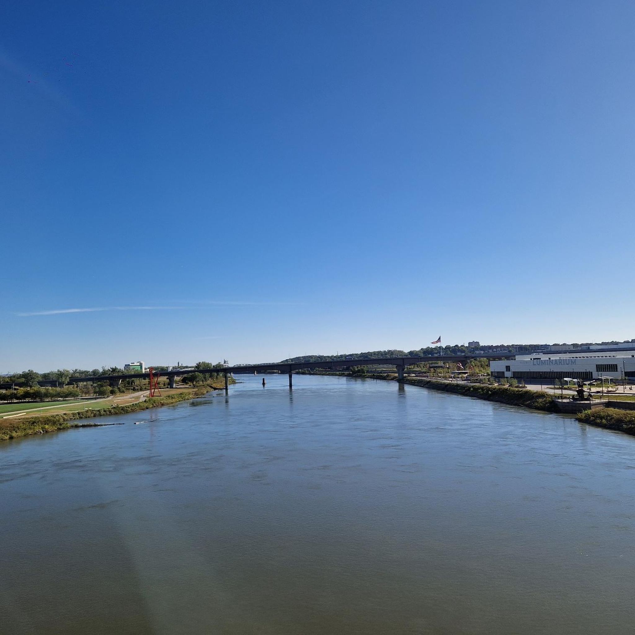
Running Trails around Council Bluffs

Running Trails in Gifford State Forest

Running Trails around Carter Lake

Running Trails in Longs Landing County Park

The Lewis & Clark Trail — Following the Corps of Discovery
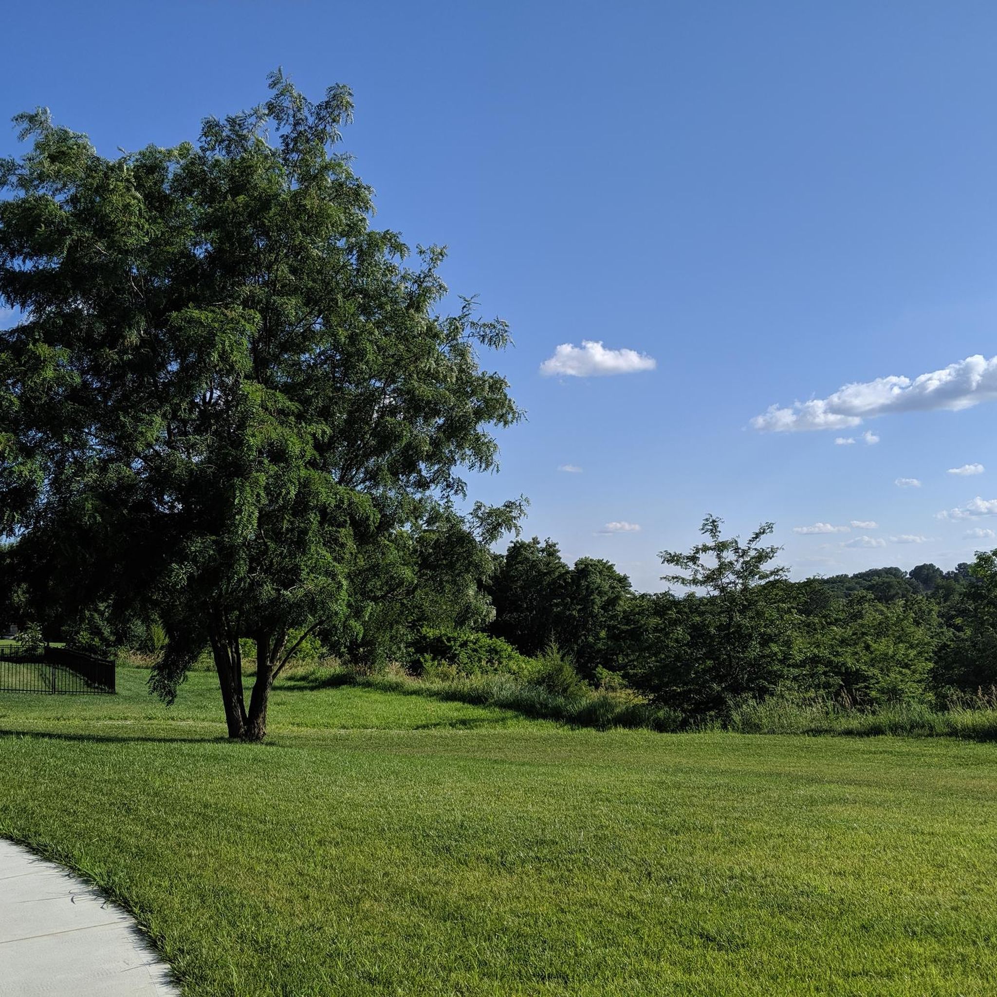
Hiking in Pottawattamie County
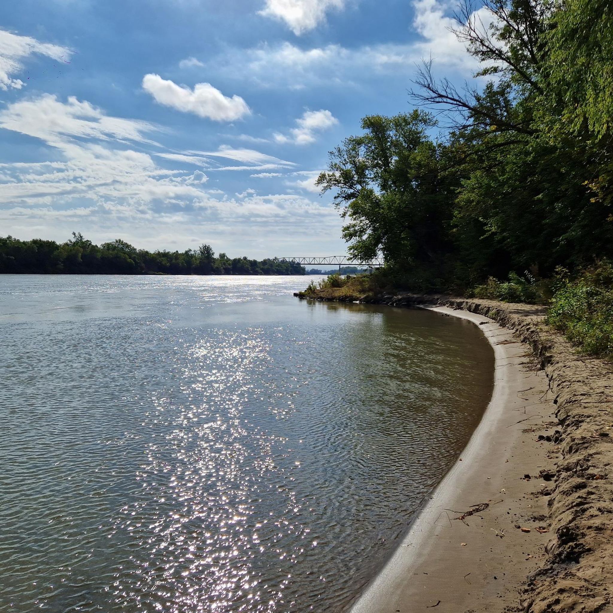
Cycling in Pottawattamie County
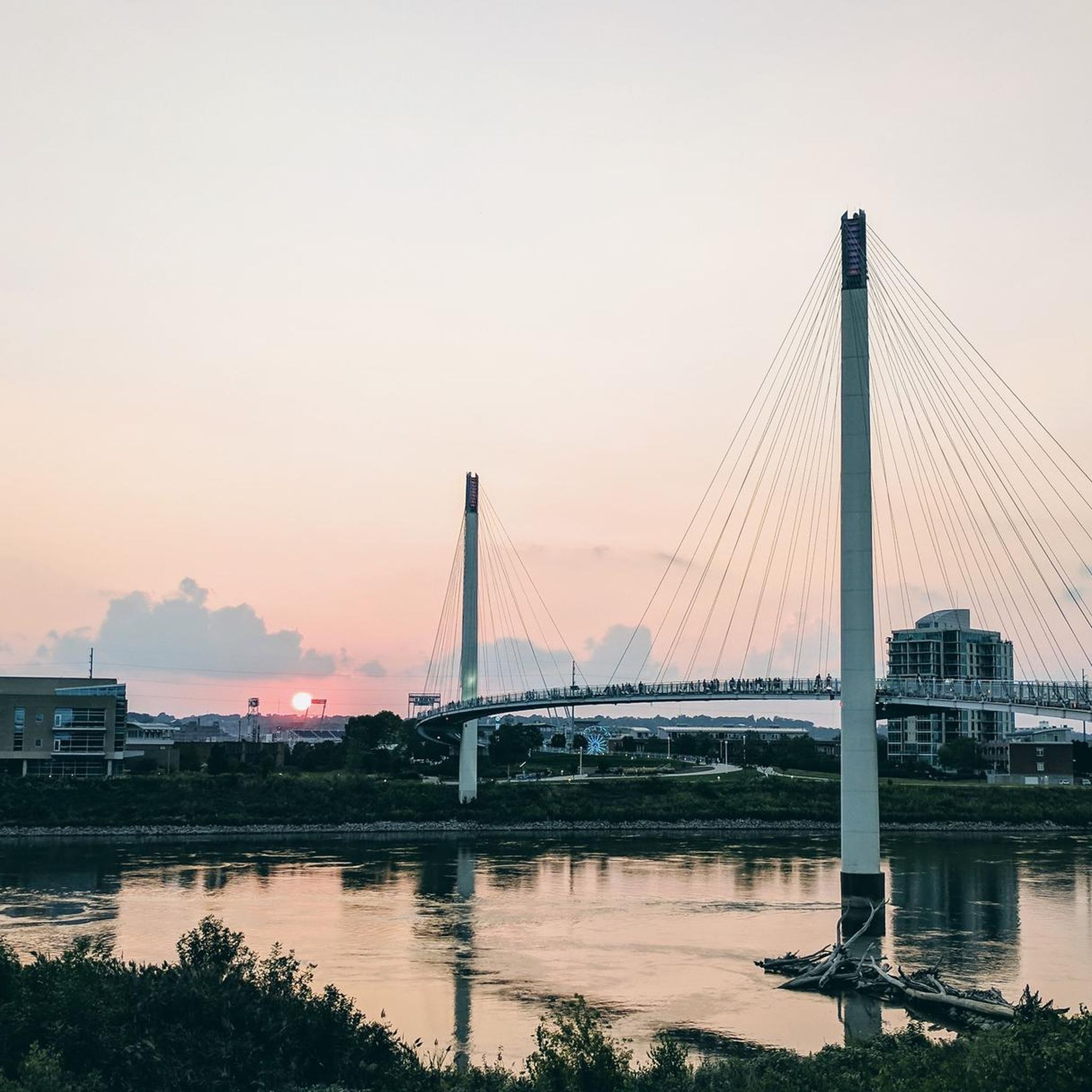
Road Cycling Routes in Pottawattamie County
Other adventures in Pottawattamie County

Tips from the Community

Carter Lake was formed in 1877 when a large flood rerouted the Missouri River. The town of the same name has the distinction of being the only city in Iowa to be west of the Missouri River
0
0

You get a nice view of the river here, and could even park your bike and hop on a river cruise if you like. But the best thing about River Road (just south of you) is that it connects cycle-friendly paths on the north and south sides of I-80.
0
0

From here you gain an awesome view of the bendy Bob Kerrey Pedestrian Bridge. A real feat of engineering and an interesting perspective to view it from.
1
0

The Bob Kerrey Pedestrian Bridge is a 3,000-foot-long pedestrian bridge over the Missouri River between Council Bluffs, Iowa, and Omaha, Nebraska. It is a popular way for cyclist, runners and walkers to move between the two cities.
1
0
The Riverfront Path is a 20-mile trail running through the downtown area of Omaha. The trail is paved and, as the name suggests, it follows the course of the Missouri River.
1
0
Tom Hanafan River's Edge Park is a 90-acre public park on the banks of the Missouri River. There is large lawn, several walking and running trails, picnic areas and restrooms.
1
0
The Bob Kerrey Pedestrian Bridge 3,000-foot-long pedestrian bridge over the Missouri River between Council Bluffs, Iowa, and Omaha, Nebraska. It is a popular way for cyclist, runners and walkers to move between the two cities.
2
0

OMAR is a troll that traveled Omaha and wants to share its experiences, especially with kids, in an interactive way. You can find him 'in person' under the Bob Kerrey Pedestrian Bridge.
2
0
Frequently Asked Questions
How many jogging routes are available in Pottawattamie County?
Pottawattamie County offers a wide selection of over 50 running routes. These paths cater to various preferences, from easy strolls to more challenging trails, ensuring a diverse experience for all joggers.
Are there easy running routes suitable for beginners or casual joggers?
Yes, Pottawattamie County has several easy running routes perfect for beginners or those seeking a relaxed jog. For instance, the paved trails at Lake Manawa State Park offer gentle paths with lake views. While not explicitly listed as easy, the Bob Kerrey Pedestrian Bridge Loop is a moderate 3.5-mile route that is popular and relatively flat, providing a pleasant experience.
What are some challenging running trails for experienced runners?
For experienced runners seeking a challenge, the Loess Hills formations offer routes with significant elevation changes. The Hitchcock Nature Center loop from Hitchcock Nature Center is a difficult 10.8-mile trail with over 1,400 feet of elevation gain, winding through woodlands and ridgelines. Another demanding option is the Wabash Trace Trail – Wabash Trace Nature Trail loop from Lewis Township, a difficult 21.3-mile route with considerable elevation.
Can I find routes with scenic views of the Loess Hills or Missouri River?
Absolutely! Pottawattamie County is renowned for its scenic beauty. Many routes offer picturesque views of the Missouri River, such as the South Riverfront Trail. For breathtaking vistas of the unique Loess Hills, consider trails within Hitchcock Nature Center or the Wabash Trace Trail loop from Lewis Township, which leads directly through this distinctive geological formation.
Are there any family-friendly jogging paths in the area?
Yes, several areas are great for family outings. Parks like Lake Manawa State Park and Arrowhead Park feature networks of trails that are generally well-maintained and offer a mix of paved and natural surfaces suitable for families. These parks often have amenities like picnic areas and playgrounds, making them ideal for a day out.
Are dogs allowed on the running trails in Pottawattamie County?
Many trails in Pottawattamie County are dog-friendly, but it's always best to check specific park regulations before you go. Generally, dogs are welcome on a leash. Areas like Lake Manawa State Park and sections of the Wabash Trace Nature Trail are popular choices for running with your canine companion.
Are there circular jogging routes available?
Yes, loop trails are a popular option for runners in the county. The Bob Kerrey Pedestrian Bridge Loop is a well-known circular route offering riverfront views. Other loop options include the Bob Kerrey Pedestrian Bridge – Bob Kerrey Pedestrian Bridge loop from Carter Lake and the Bob Kerrey Pedestrian Bridge – Bob Kerrey Pedestrian Bridge loop from Cinema, providing varied distances for a complete circuit.
What are the options for long-distance running in Pottawattamie County?
For long-distance runners, the Wabash Trace Nature Trail is a major highlight, offering a 63-mile 'rails-to-trails' path with a crushed limestone surface. While not a single komoot route, sections like the Wabash Trace Trail – Wabash Trace Nature Trail loop from Lewis Township provide significant mileage. The broader Omaha Metro Trails system, accessible from Pottawattamie County, also offers extensive mileage along the Missouri River.
What do other runners say about the jogging experience in Pottawattamie County?
The running routes in Pottawattamie County are highly rated by the komoot community, with an average score of 4.3 stars from over 6 reviews. Runners often praise the diverse terrain, from the unique Loess Hills to the extensive riverfront trails, and appreciate the variety of options for different ability levels.
Are there trails that connect to broader regional trail systems?
Yes, Pottawattamie County's trails are well-integrated into larger regional networks. The trails at Lake Manawa State Park, for example, connect to the broader Council Bluffs trail system, which in turn links to the Wabash Trace Trail and the Bob Kerrey Pedestrian Bridge. This connectivity allows for extended runs and exploration beyond county lines.
What kind of unique natural features can I expect to see while running?
Pottawattamie County is defined by its unique natural features. You can experience the distinctive Loess Hills formations, which provide rugged terrain and scenic overlooks, particularly at Hitchcock Nature Center. Many routes also follow the Missouri River, offering picturesque waterfront views. Additionally, parks like Lake Manawa and Arrowhead Park feature serene lake views and peaceful woodlands, while Farm Creek Public Wildlife Area boasts restored native prairie and ponds.
What's the best time of year to go running in Pottawattamie County?
Spring and fall generally offer the most pleasant running conditions in Pottawattamie County, with mild temperatures and beautiful scenery as foliage changes or blooms. Summer can be warm and humid, so early morning or late evening runs are recommended. Winter running is possible, but trails may be icy or snow-covered, especially in the Loess Hills, so appropriate gear and caution are advised.
Most popular routes in Pottawattamie County

Get inspired with the komoot mobile app


Didn’t find what you were looking for?
Check out more Running Trails & Routes throughout Pottawattamie County below and find the perfect route in your destination.
Explore more
Browse the best Running Trails & Routes in other regions.
