The best road cycling routes in Pottawattamie County
4.2
(102)
681
riders
56
rides
Road cycling in Pottawattamie County, Iowa, features a diverse landscape characterized by rolling hills, extensive riverfront paths, and unique geological formations. The region is known for its Loess Hills, which are 300-foot-tall dunes of silt, and the scenic Missouri River Valley. Cyclists can explore varied environments, including prairies, wetlands, and woodlands, offering a range of experiences from urban trail systems to natural byways. The area provides numerous paved routes suitable for road cycling.
Best road cycling routes in Pottawattamie County
…Last updated: July 2, 2026
10
riders
Moderate road ride. Good fitness required. Some segments of this route may be unpaved and difficult to ride.
6
riders
Moderate road ride. Great for any fitness level. Some segments of this route may be unpaved and difficult to ride.

Sign up for free
4
riders
50.2km
04:17
310m
310m
Moderate road ride. Good fitness required. Mostly well-paved surfaces and easy to ride.
3
riders
24.9km
01:22
90m
90m
Moderate road ride. Great for any fitness level. Some segments of this route may be unpaved and difficult to ride.
Get access to more routes and recommendations from other explorers.
Sign up for free
Already have an account?
Our route recommendations are based on thousands of hikes, rides, and runs completed by other people on komoot.
Start today with a free account
Your next adventure awaits.
Login or Signup
Popular around Pottawattamie County
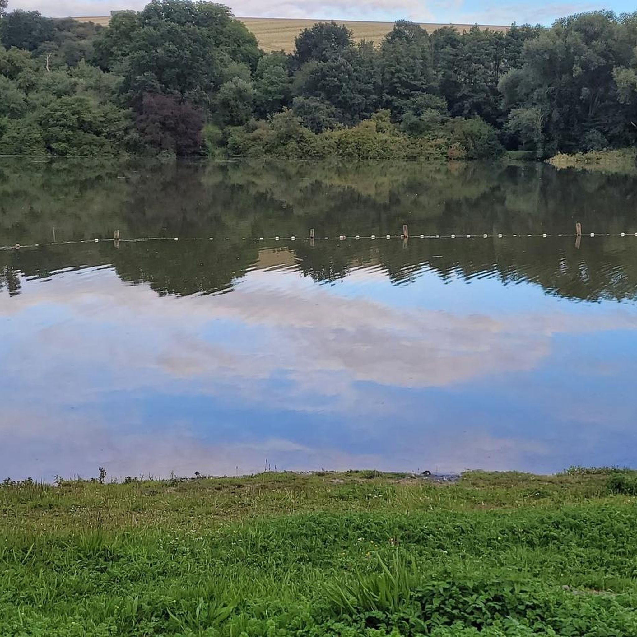
Road Cycling Routes around Carter Lake

Road Cycling Routes in Gifford State Forest
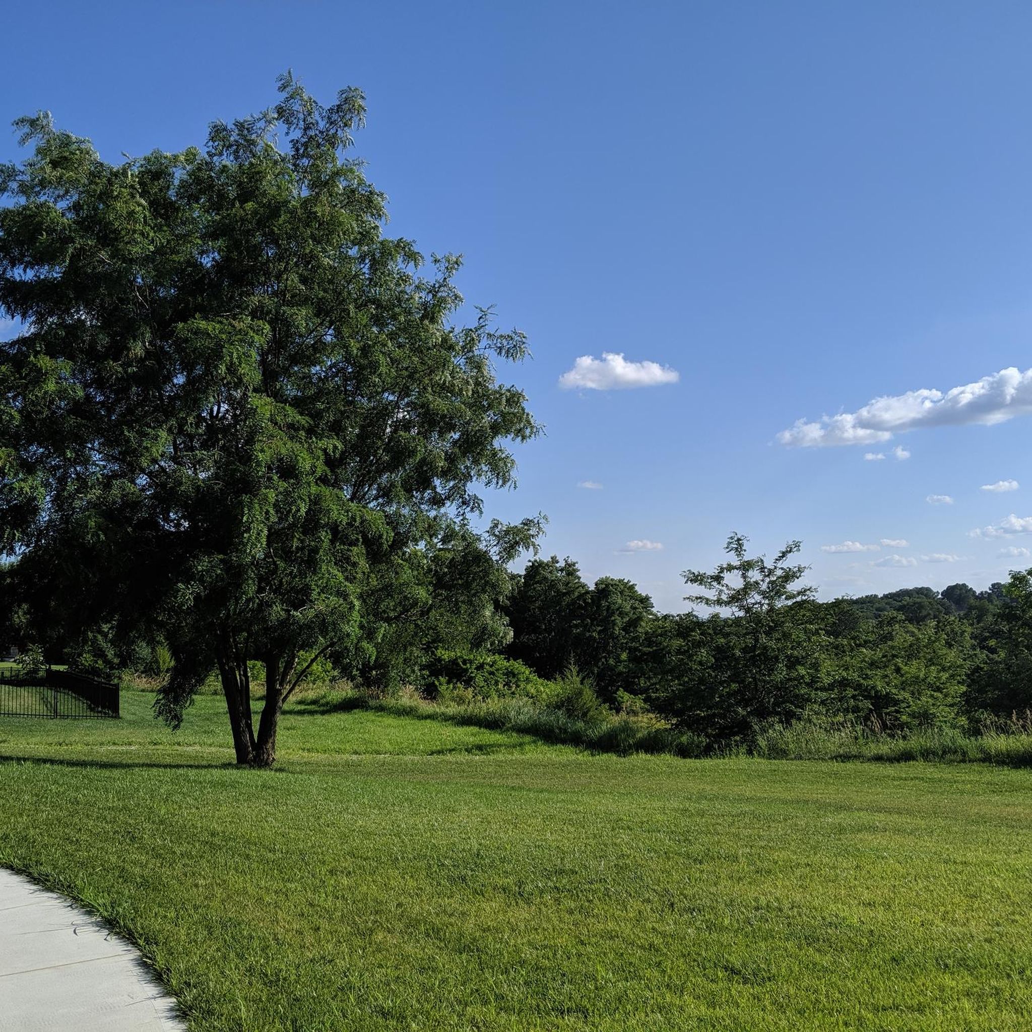
Road Cycling Routes around Council Bluffs

Road Cycling Routes in Longs Landing County Park

Road Cycling Routes around Crescent

The Lewis & Clark Trail — Following the Corps of Discovery
Hiking in Pottawattamie County
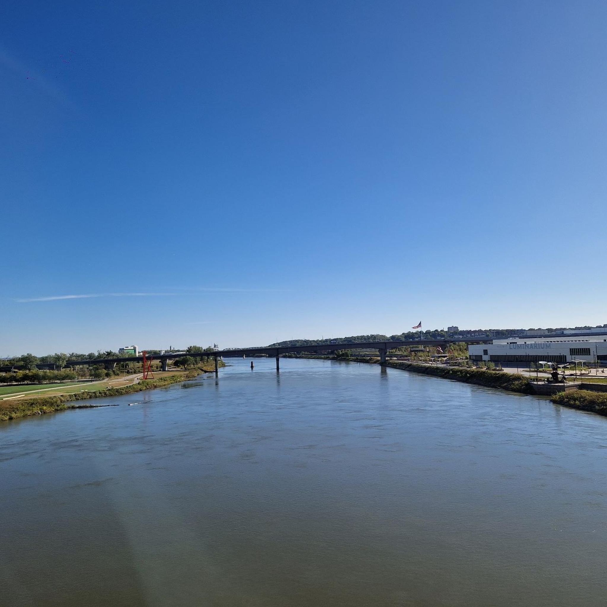
Running Trails in Pottawattamie County
Cycling in Pottawattamie County
Other adventures in Pottawattamie County

Tips from the Community

This large park has sports fields, trails, picnic areas, and a golf course. There's parking and access to trails that traverse the city so it's a good place to start and end a ride.
0
0
The multi-use Keystone Trail is an important part of Omaha's urban to rural trail system. Linking many of the areas business districts, parks, and Universities to the surrounding rural areas. Much of the trail follows along Little Papillion Creek, with multiple bridges over the water.
0
0
This 20-mile trail runs along the river and through downtown Omaha and multiple parks. It's a great way to get out and explore the city.
0
0

You get a nice view of the river here, and could even park your bike and hop on a river cruise if you like. But the best thing about River Road (just south of you) is that it connects cycle-friendly paths on the north and south sides of I-80.
0
0


From here you gain an awesome view of the bendy Bob Kerrey Pedestrian Bridge. A real feat of engineering and an interesting perspective to view it from.
1
0

The Bob Kerrey Pedestrian Bridge is a 3,000-foot-long pedestrian bridge over the Missouri River between Council Bluffs, Iowa, and Omaha, Nebraska. It is a popular way for cyclist, runners and walkers to move between the two cities.
1
0

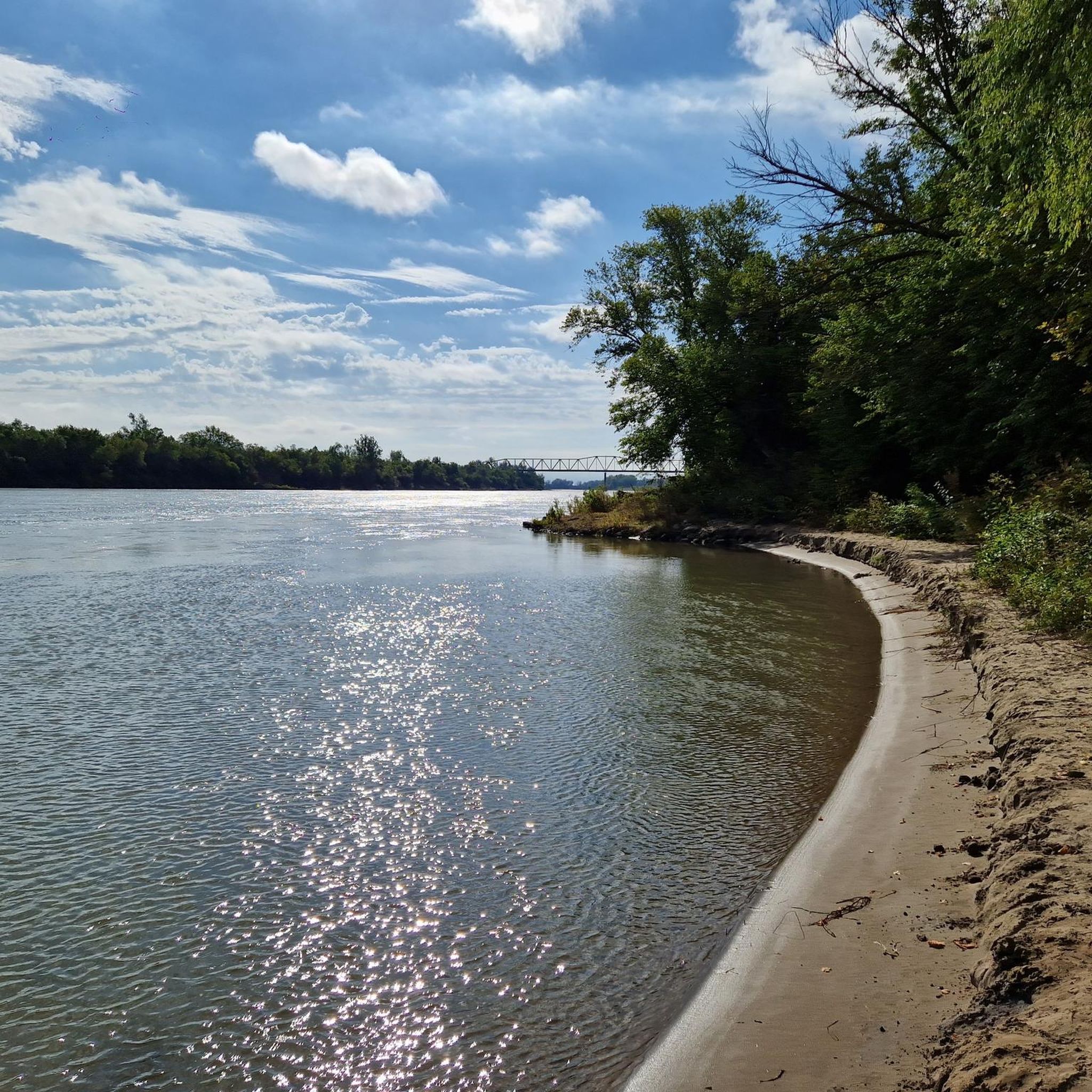
The Missouri River is the longest river in North America. The Missouri has the nickname "Big Muddy" due to the amount of silt it carries. It was also one of the main routes for the westward expansion during the 19th century.
0
0
Frequently Asked Questions
What types of road cycling routes can I find in Pottawattamie County?
Pottawattamie County offers a diverse range of road cycling experiences. You'll find routes traversing the unique Loess Hills, scenic paths along the Missouri River Valley, and trails winding through prairies, wetlands, and woodlands. The area is well-known for its extensive paved trail systems, including those within Council Bluffs and connections to Omaha.
Are there road cycling routes suitable for beginners or families in Pottawattamie County?
Yes, Pottawattamie County has routes suitable for various fitness levels, including easy options perfect for beginners and families. For example, the Keystone Trail – Elmwood Park loop from Omaha is an easy 30.3 km (18.8 miles) route. Many of the city trails, such as the Lake Manawa Recreation Trail, also offer relatively flat and paved surfaces ideal for a relaxed ride.
What are some notable natural features or landmarks I can see while road cycling in the region?
The region is rich in natural beauty and landmarks. You can cycle through the dramatic Loess Hills, witness the Missouri River Valley, and explore diverse habitats like prairies and woodlands. Specific attractions include the Bob Kerrey Pedestrian Bridge, which connects Iowa and Nebraska, and areas like Narrows River Park offering scenic river views. The Wabash Trace Nature Trail also provides a glimpse into small-town charm and rolling countryside.
How many road cycling routes are available in Pottawattamie County?
There are over 65 road cycling routes available in Pottawattamie County, catering to various skill levels. This includes 18 easy routes, 45 moderate routes, and a few more challenging options for experienced cyclists.
Where can I find parking for road cycling trails in Pottawattamie County?
Many trailheads and parks throughout Pottawattamie County offer designated parking areas. For instance, routes like the Bob Kerrey Pedestrian Bridge loop from College View Elementary School often have parking available near their starting points. Major parks and trail access points in Council Bluffs and surrounding areas are generally well-equipped with parking facilities.
Are there any circular road cycling routes in Pottawattamie County?
Yes, many of the road cycling routes in Pottawattamie County are designed as loops, offering convenient starting and ending points. Examples include the Big Papio Trail – Big Papio Trail loop from Omaha and the Roadbike loop from Council Bluffs, allowing you to return to your starting location without retracing your path.
What is the best time of year for road cycling in Pottawattamie County?
The best time for road cycling in Pottawattamie County is typically during the spring, summer, and fall months. These seasons offer pleasant temperatures and vibrant scenery. Spring brings blooming prairies, while fall showcases beautiful foliage. Always check local weather conditions before heading out, especially during summer when temperatures can be high.
Can I connect to other trail systems from Pottawattamie County?
Absolutely. Pottawattamie County's trail system is well-integrated. The Council Bluffs trail network, including the Lake Manawa Recreation Trail, links to major routes like the Wabash Trace Nature Trail. Furthermore, the system seamlessly connects with Omaha and surrounding communities via the Bob Kerrey Pedestrian Bridge, significantly expanding your cycling possibilities across state lines.
What do other road cyclists say about the routes in Pottawattamie County?
The road cycling routes in Pottawattamie County are highly rated by the komoot community, with an average score of 4.2 stars from over 120 reviews. Cyclists often praise the diverse landscapes, well-maintained trails, and the variety of options available, from riverfront paths to scenic byways through the Loess Hills.
Are there any cafes or places to stop for refreshments along the road cycling routes?
While specific cafes directly on every trail may vary, the extensive trail system in Council Bluffs and its connections to Omaha mean you're often not far from urban amenities. The Wabash Trace Nature Trail, for instance, is famous for its weekly 'Thursday Taco Ride,' indicating that small towns along its route offer food options. Planning your route through or near towns will provide opportunities for refreshments.
What are the typical elevation changes on road cycling routes in Pottawattamie County?
Pottawattamie County offers a mix of terrain. While riverfront paths tend to be flatter, routes that venture into the Loess Hills will feature more significant elevation changes. For example, the Carter Lake – Missouri River loop from Metropolitan Community College has an elevation gain of approximately 287 meters (941 feet), while the Bob Kerrey Pedestrian Bridge loop from Omaha is relatively flatter with about 35 meters (115 feet) of gain.
Most popular routes in Pottawattamie County

Get inspired with the komoot mobile app


Didn’t find what you were looking for?
Check out more Road cycling routes throughout Pottawattamie County below and find the perfect route in your destination.
Explore more
Browse the best Road cycling routes in other regions.
