Routes

Planner

Features

Updates

App

Login or Signup

Get the App

Login or Signup

Routes
Hikes
United States
California

Fresno County

The best walks and hikes in Fresno County

4.6

(390)

5,618

hikers

139

hikes

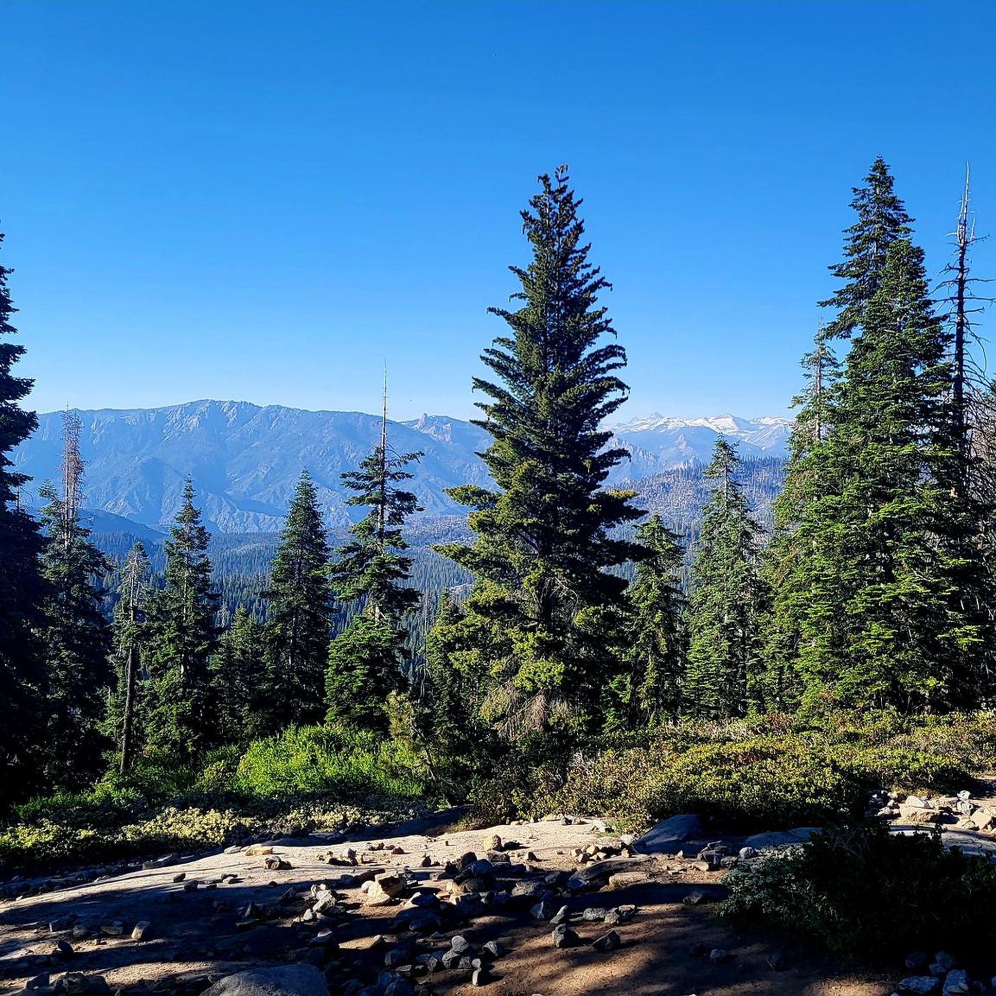
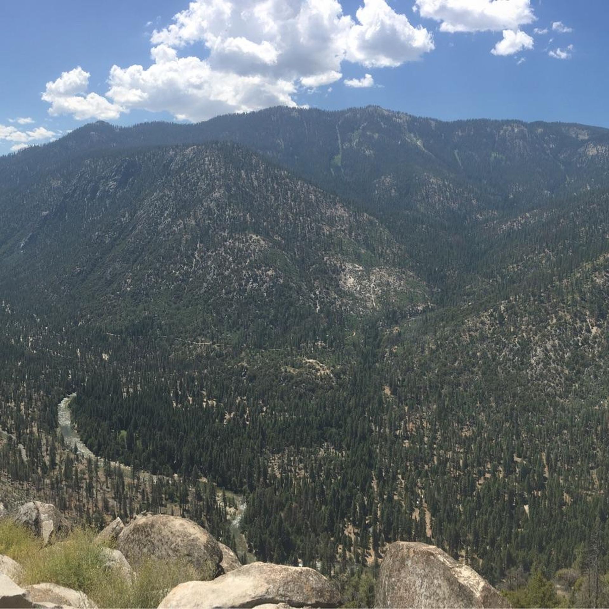
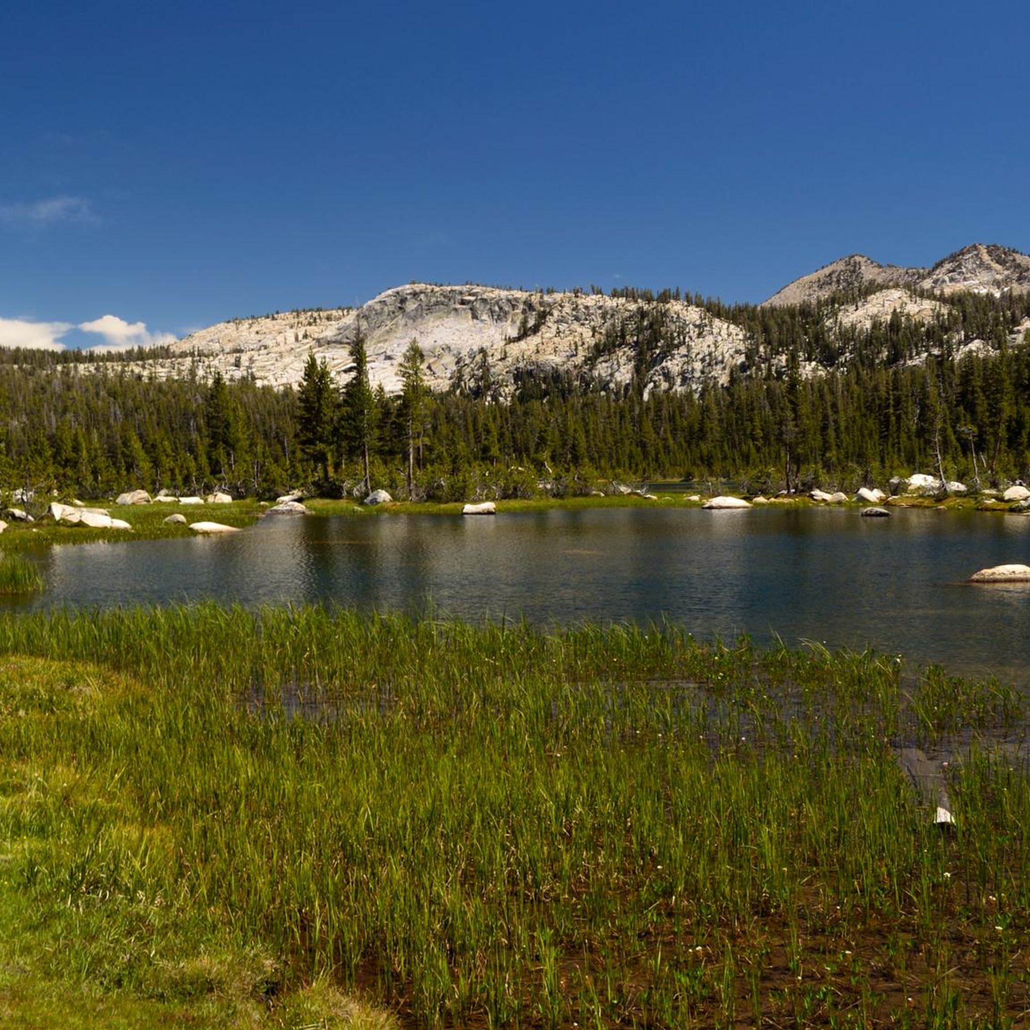
Hiking in Fresno County offers access to the diverse landscapes of the Sierra Nevada, including parts of Kings Canyon National Park. The terrain is characterized by high-elevation mountain trails, deep river canyons, and groves of giant sequoia trees. The region features a network of trails ranging from accessible paths through forests to challenging mountain routes.

Best hiking trails in Fresno County

  • The most popular hiking route is Hume Lake Loop Trail, a 2.7 miles (4.3 km) trail that takes 1 hour 7 minutes to complete. This route offers views around Hume Lake.
  • Another top favourite among local hikers is Mist Falls, a moderate 4.1 miles (6.6 km) path. The trail features ascents to a prominent waterfall.
  • Local hikers also love the Pincushion Peak Trail, a 3.0 miles (4.8 km) trail leading through foothills with panoramic views, often completed in about 1 hour 33 minutes.
  • Hiking in Fresno County is defined by giant sequoia groves, glacially-carved canyons, and high-altitude meadows. The network of trails offers options for different ability levels.
  • The routes in Fresno County are highly rated by the komoot community with an average score of 4.7 stars from over 240 reviews. More than 2,700 hikers have used komoot to explore Fresno County's varied terrain.

Last updated: June 24, 2026

4.7

(11)

115

hikers

#1.

Hume Lake Loop Trail

4.30km

01:07

30m

40m

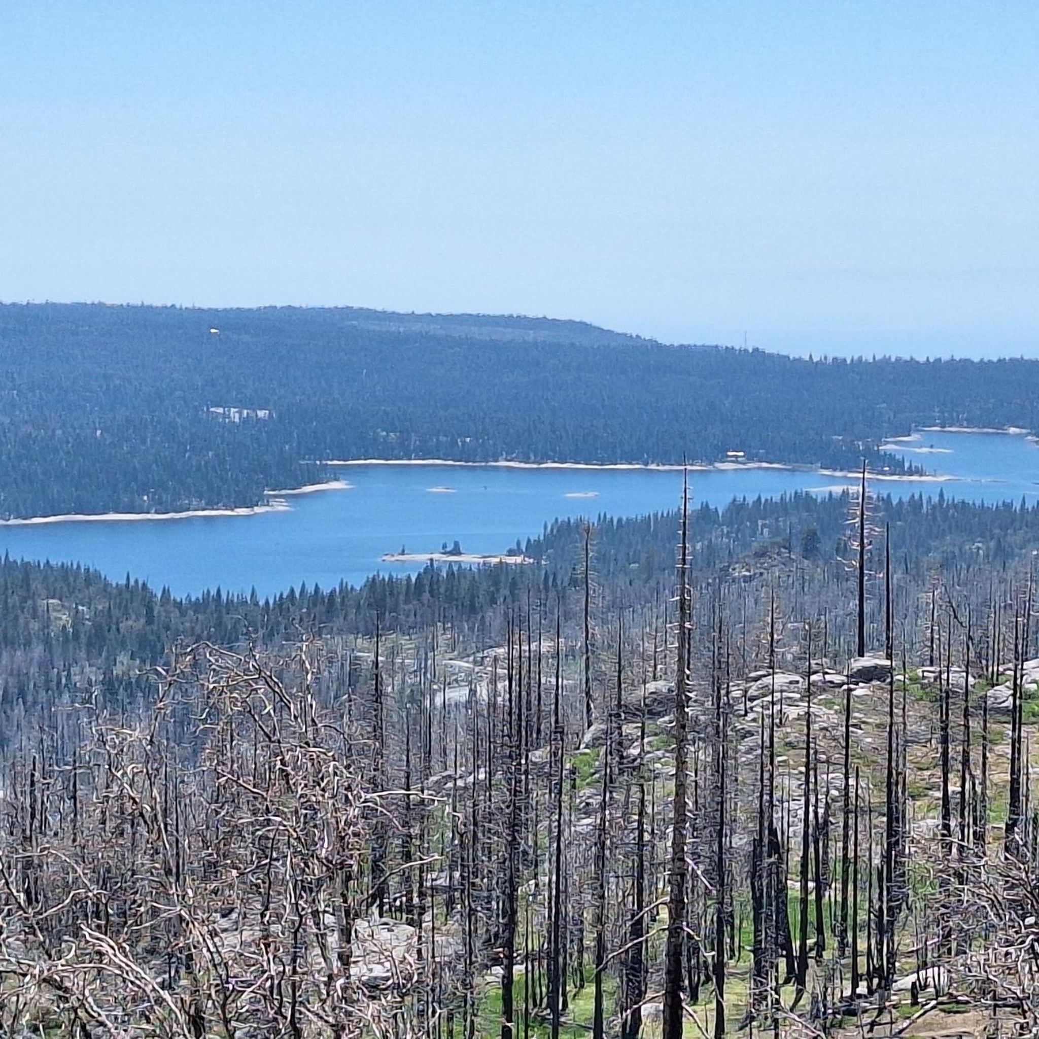
The Hume Lake Loop Trail offers a delightful and accessible journey around the picturesque Hume Lake, showcasing diverse terrain from dirt paths to boardwalks. As you hike, you'll be treated to continuous views of the lake, framed by towering pine and cedar forests, with the majestic Sierra Nevada crests providing a stunning backdrop. Keep an eye out for sandy pull-outs and beaches like Sandy Cove, perfect for a quick break, and don't miss the historic Hume Lake Dam, a unique point of interest along the way.

Planning your visit to this popular route is straightforward, with parking available at multiple points including Sandy Cove and Hume Day Use Areas. The trail is open year-round, offering different experiences from summer strolls to winter snowshoeing, and it's a fantastic option for families as it's one of the few dog-friendly trails in the Sequoia National Park area. This easy 2.7-mile (4.3 km) loop, with a minimal 85 feet (26 metres) of elevation gain, typically takes just over an hour to complete, making it a perfect quick escape.

What makes the Hume Lake Loop Trail truly special is its blend of natural beauty and historical significance, tracing the shoreline of an alpine reservoir that was once a logging reservoir. Interpretive signs along the route explain the lake's past and ecosystem, adding depth to your experience. The western side of the loop is particularly peaceful, offering shaded, calm stretches with serene lake views, making it an ideal choice for a relaxed outing.

Navigate with device

Send to Phone

Save

Easy

5.0

(1)

26

hikers

1.18km

00:19

10m

20m

Step into a world of ancient giants on the General Grant Trail, an easy hike through Kings Canyon National Park. You will walk among majestic sequoia trees, including the famous General Grant Tree, the second-largest tree in the world. The route also features the unique Fallen Monarch, a hollowed-out log you can walk through. This short outing covers just 0.7 miles (1.2 km) with a gentle 20 feet (6 metres) of elevation gain, taking about 18 minutes to complete. It is a perfect way to experience the park's natural beauty without a long commitment.

The trail is generally accessible, with paved sections making it suitable for most visitors. If you plan to hike during winter, be prepared for potentially icy conditions where microspikes or snowshoes could be helpful. To enjoy a quieter experience, consider starting your hike early in the morning or later in the afternoon. This is especially true during peak season when the park can get busy.

This family-friendly route offers an excellent introduction to the giant sequoias, with informative panels along the way. It is a great choice for beginners looking to learn about these ancient trees. The trail's accessibility and unique features make it a notable highlight within Kings Canyon National Park.

Easy
guide_signup
Let us show you the way with the komoot mobile app
With a free komoot account, you can easily find, customize, and navigate endless outdoor adventures.

Sign up for free

23

hikers

6.56km

02:09

220m

0m

Embark on a moderate hike to Mist Falls, a rewarding journey spanning 4.1 miles (6.6 km) with an elevation gain of 735 feet (224 metres). You can expect to complete this route in about 2 hours and 8 minutes. As you follow the path, you will be surrounded by the majestic granite peaks of Kings Canyon, often catching glimpses of the sparkling Kings River. The trail begins with striking views of the Sphinx rock formation, guiding you through diverse landscapes including open meadows, cool cedar groves, and lush fern forests. Your destination is the spectacular Mist Falls, known for the considerable spray it generates, especially during spring and early summer.

To make the most of your visit, plan to start your hike to Mist Falls early in the day. This helps you avoid the warmest temperatures, particularly on more strenuous sections of the trail. Be prepared for insects, as they can be active, especially during morning and evening hours. The trailhead is conveniently located at Road's End, where you will find parking available. Always remember to store your food properly due to the active bear populations in the area.

This trail is a highlight within Kings Canyon National Park, offering a classic Sierra Nevada experience. It is particularly notable for its journey through varied ecosystems, from sun-drenched meadows to dense, shady forests, all leading to a powerful waterfall. The constant presence of the Kings River alongside the path adds to the serene atmosphere. Mist Falls stands out as a prime example of the park's natural beauty, making it a popular choice for those seeking a quintessential mountain adventure.

Moderate

5.0

(1)

23

hikers

767m

00:13

20m

20m

Embark on the Panoramic Point hike, an easy 0.5-mile (0.8 km) route that offers grand vistas for minimal effort. You will gain 68 feet (21 metres) in elevation, with most hikers completing it in just 13 minutes. The paved path winds gently through mixed woodlands, creating a pleasant atmosphere as you approach the main attraction. As its name suggests, the trail culminates in a spectacular viewpoint overlooking the vast Kings Canyon. From here, you can clearly see the sparkling Hume Lake and the majestic peaks of the Sierra Nevada, including Spanish Mountain.

To make the most of your visit, consider hiking Panoramic Point during sunrise or sunset for the most dramatic lighting conditions. The paved surface makes it accessible for many, although you will encounter some sections with a moderate slope. If you plan to visit in winter, be prepared for snow and a more challenging uphill climb; traction devices are highly recommended, and you might even need snowshoes or skis for access. Always check current conditions before heading out to ensure a safe and enjoyable experience.

Panoramic Point is a prime example of how a short walk can yield immense rewards within Kings Canyon National Park. It stands out for its expansive, unobstructed views that truly capture the scale of the Sierra Nevada landscape. This trail is particularly notable for providing a comprehensive panorama of the canyon, Hume Lake, and distant mountain ranges, making it a must-do for anyone wanting to quickly grasp the region's natural grandeur.

Easy

16

hikers

4.78km

01:33

170m

270m

The Pincushion Peak Trail offers a surprisingly intense climb for its length, leading you through beautiful oak woodland to a summit with truly expansive views. You'll navigate mixed dirt and loose gravel, with some steep sections and even a Class 2 rock scramble near the top. From Pincushion Mountain, you're rewarded with a 360-degree panorama of Millerton Lake, Table Mountain, and the distant high Sierras, making the 3.0-mile (4.8 km) round trip with 544 feet (166 metres) of elevation gain feel well worth the effort.

Plan your visit during the cooler months of spring or fall to enjoy wildflowers and green grass, as summer can be very hot with sparse shade. The trail is officially rated easy, but don't underestimate the consistent uphill grade; it's a vigorous workout that typically takes around 1 hour and 33 minutes. Remember to carry plenty of water, and keep an eye out for rattlesnakes, especially when it's warm.

Located within the Millerton Lake State Recreation Area, this trail is a popular spot for photography and wildlife viewing, with deer, rabbits, and even bald eagles occasionally spotted. While it's a short out-and-back, you can extend your adventure by connecting to the longer San Joaquin River Trail or exploring a 4.5-mile loop option. Dogs are welcome on leash, making it a great outing for your canine companion.

Easy

10

hikers

9.21km

02:45

180m

510m

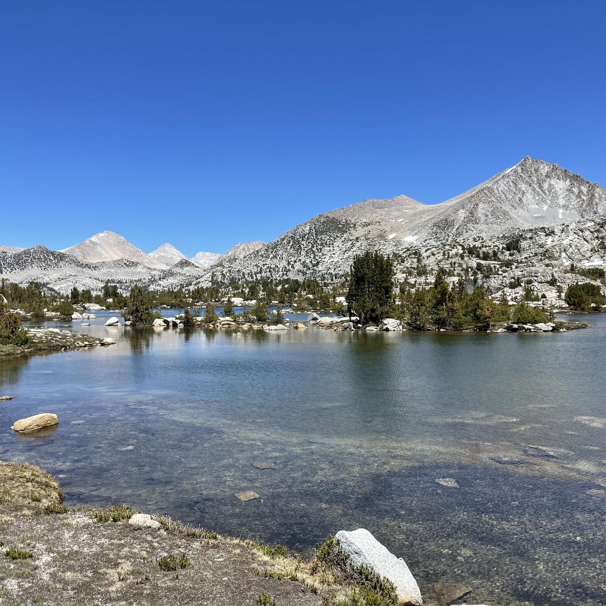
The Duck Pass Trail is a quintessential Sierra Nevada hike, leading you through a spectacular chain of blue-green alpine lakes before culminating in breathtaking views from Duck Pass. You'll pass by gems like Arrowhead Lake, Skelton Lake, and Barney Lake, each reflecting the surrounding peaks, before reaching the expansive Duck Lake nestled in a cirque of 11,000-foot mountains. This moderate 5.7-mile (9.2 km) route involves 599 feet (183 metres) of elevation gain, taking approximately 2 hours and 45 minutes, and offers a rewarding journey through changing terrain.

Planning your visit means preparing for a steady uphill climb, especially given the high altitude. The best time to hike is typically between July and September, when snow conditions are minimal. The trail starts at Coldwater Campground, and while day hiking doesn't require a permit, overnight camping at Duck Lake does, along with bear-proof food storage. Always carry ample water to stay hydrated at elevation.

This trail is a notable part of the John Muir Wilderness, offering more than just a day hike; it connects to the Pacific Crest Trail and John Muir Trail at higher elevations, making it a popular route for extended backpacking. Beyond the stunning Duck Pass Trail lakes and views, it's also a favored spot for trout fishing and horseback riding, showcasing the diverse recreational opportunities in the Inyo National Forest.

Moderate

7

hikers

7.70km

02:24

390m

150m

The George Lake Trail takes you deep into the Sierra high country, offering a diverse and rugged hiking experience. You'll navigate uneven, rocky landscapes and numerous switchbacks, passing through mixed woodlands, granite outcrops, and high meadows. The route delivers postcard-worthy views from Potter Pass and culminates at the serene George Lake, nestled among pines and beneath the craggy walls of Kaiser Peak.

This moderate 4.8-mile (7.7 km) hike involves a substantial 1285 feet (392 metres) of elevation gain, typically requiring about 2 hours and 23 minutes. It's a demanding, heart-pumping adventure that rewards you with stunning alpine panoramas of the snow-capped Sierra Nevada mountains and charming lakes like Upper Twin Lake. Acclimatization is recommended if you're coming from sea level.

Considered a staple hike in the Sierra National Forest, this trail is open to hikers and dogs on leash. While accessible year-round, microspikes or snowshoes are advised after snowfall. Wilderness permits are necessary for any overnight excursions, so plan ahead for your George Lake Trail adventure.

Moderate

5.0

(1)

8

hikers

The Indian Basin Grove Interpretive Trail offers a serene and insightful journey through a recovering giant sequoia forest. You'll wander beneath a beautiful forest canopy, past young giant sequoias, and through a peaceful meadow, discovering the resilience of nature. The path is mostly flat, making it an easy 1.9-mile (3.1 km) hike with only 116 feet (35 metres) of elevation gain, typically completed in about 48 minutes.

To make the most of your visit, aim for the summer months when conditions are ideal. The trail is easily accessible, with a portion of it paved, and is located conveniently near the Princess Campground. Keep in mind that winter can bring challenging snowy and icy road conditions, so plan your trip carefully.

This trail stands out for its unique blend of natural beauty and historical narrative. Informative panels along the route tell the story of the grove's past logging and its remarkable regrowth, offering a quiet escape and a deeper understanding of these magnificent trees. It's a pedestrian-only route, perfect for a leisurely exploration.

Easy

6

hikers

If you're seeking a taste of the Sierra Nevada's rugged beauty without the usual crowds, the Dinkey Lakes Trail to Cliff Lake is an excellent option. This moderate hiking route takes you through sub-alpine forests and across wet meadows, eventually revealing the stunning blue waters of Cliff Lake, dramatically set against towering granite bluffs. You'll navigate uneven and rocky paths, cross streams, and experience the quiet grandeur of a less-traveled wilderness.

This 5.4-mile (8.7 km) hike involves a respectable 1256 feet (383 metres) of elevation gain, which you can expect to cover in about 2 hours and 35 minutes. The trailhead at Courtright Reservoir is generally accessible via paved roads, but remember that a wilderness permit is required for any overnight stays. Given the area's elevation above 8,000 feet, planning your visit for late spring to early fall ensures the best conditions, avoiding snow and enjoying the abundant wildflowers.

The Dinkey Lakes Wilderness is truly a hidden gem, offering a more serene experience compared to other popular Sierra destinations. While Cliff Lake is a highlight, the region boasts numerous alpine lakes, making it ideal for both day trips and longer backpacking adventures. This trail provides a fantastic introduction to the area's granite features and pristine high alpine lakes, offering panoramic views of the surrounding mountains and even glimpses of Courtright Reservoir from higher elevations.

Moderate

5

hikers

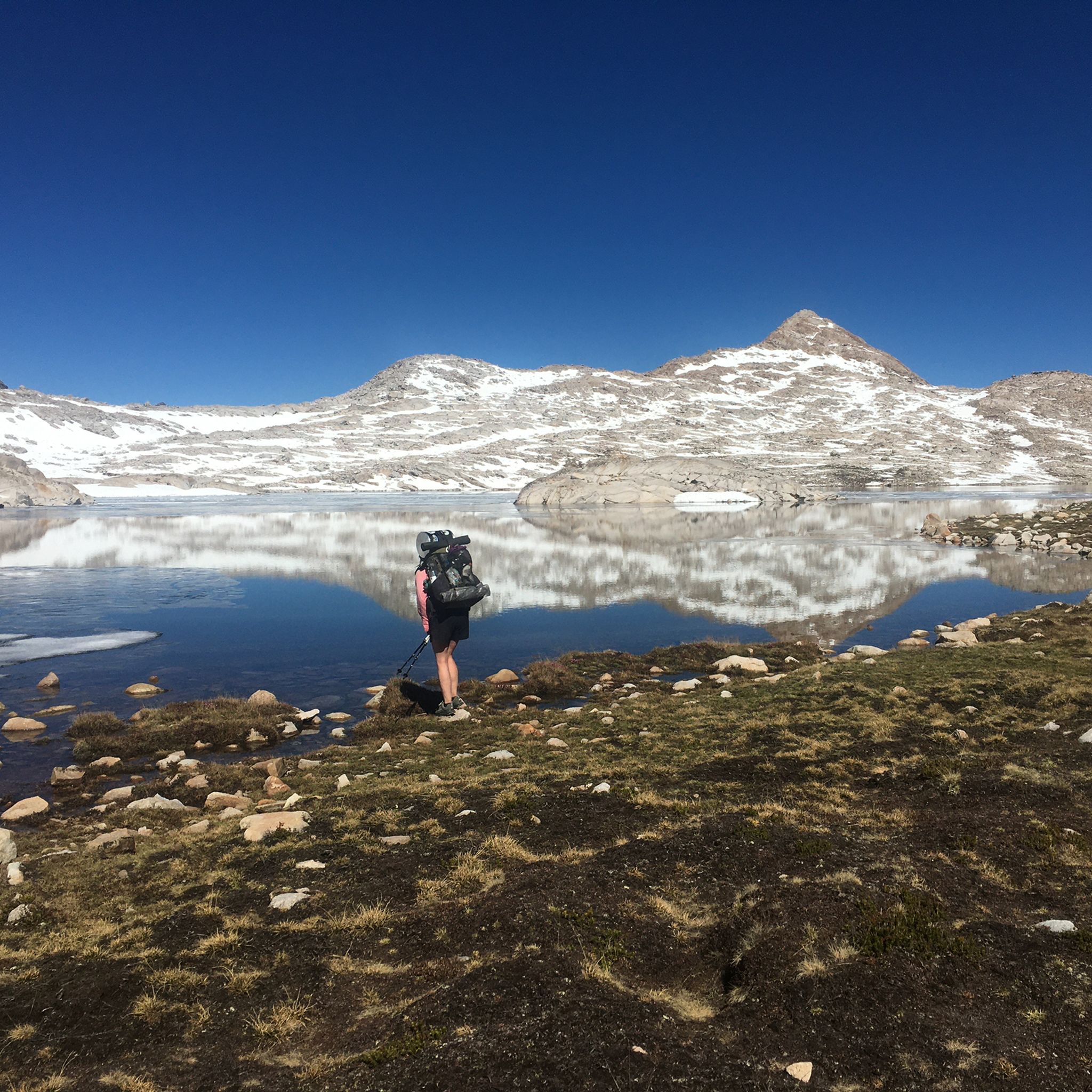
The Muir Trail Ranch to Heart Lake trail offers a quintessential High Sierra experience, leading you through diverse terrain to stunning alpine lakes. Starting from Muir Trail Ranch, you'll immediately begin a steep climb, navigating switchbacks and then ascending towards the panoramic vistas of Selden Pass. The route then descends past the picturesque Sallie Keyes Lakes, often a perfect spot for a break, before reaching the distinctively shaped Heart Lake, all while traversing beautiful woodlands and rocky sections. This moderate 6.2-mile (9.9 km) hike involves a significant 2929 feet (893 metres) of elevation gain, typically taking around 3 hours and 31 minutes, making it ideal for hikers with good physical conditioning.

Planning for this route, especially if you're connecting to the John Muir Trail, requires securing the necessary permits for the John Muir Wilderness. While specific trailhead parking information isn't detailed, it's crucial to research access points and any potential fees or restrictions. The best time to undertake this journey is generally during the summer and early autumn months when the high-altitude passes are clear of snow and weather conditions are most favorable. Always carry sufficient water and be prepared for changing mountain weather.

This trail is a notable segment of the renowned John Muir Trail, offering a taste of its challenging beauty. Muir Trail Ranch serves as a key resupply point for long-distance hikers, and the nearby hot springs provide a unique opportunity for relaxation after a strenuous day on the trail. From Selden Pass, you'll gain magnificent views of Marie Lake and the distant Mono Divide, highlighting the dramatic alpine landscape of Fresno County, California.

Moderate
Sign up for free to see 130 more hikes in Fresno County.

Get access to more routes and recommendations from other explorers.

Sign up for free

Already have an account?

Our route recommendations are based on thousands of hikes, rides, and runs completed by other people on komoot.

Start today with a free account

Your next adventure awaits.

Login or Signup

Popular around Fresno County

Hiking in Kings Canyon National Park

Hiking in Sierra National Forest

Hiking in John Muir Wilderness

Hiking in Sequoia-Kings Canyon Wilderness

Hiking around Auberry

Hiking in Monarch Wilderness

Hiking around Shaver Lake

Hiking in Dinkey Lakes Wilderness

Hiking in Kaiser Wilderness

Hiking around Big Creek

Other adventures in Fresno County

John Muir Trail – Along the legendary trail through the magical Sierra Nevada

Hiking Collection by

Caro "Bandit"

Tips from the Community

Virus
October 2, 2024, Dry Pond in John Muir Wilderness

Meanwhile, this pond has no water left

Translated by Google

0

0

Andrus
January 15, 2024, Hume Lake

Hume Lake sits behind the world's first concrete reinforced multiple arch dam, designed by hydroelectric power pioneer, John S. Eastwood. While originally used as log storage for a nearby mill, the lake is now popular for all sorts of outdoor activities. You'll find a campground, beaches, hiking trails and more dotted around the lake.

0

0

Sue
January 15, 2024, Potter Pass

At 9000 feet, Potter Pass boasts breathtaking views of the Huntington Lake Basin to the south, the Minarets to the north, the vast expanse of the Kaiser Wilderness and beyond.

0

0

Andrus
December 19, 2023, Road's End

You'll find a small permit station here and miles of great hiking trails. If riding to the end of the Kings Canyon Scenic Byway didn't satisfy our appetite for the gorgeous scenery you can find a hike here to suit you, as there is something for all ages and abilities. Keep in mind that this area is very active with bears, so do not leave any food or scented items unattended or it's likely a bear will make off with it like Yogi would a picnic basket.

0

0

Andrus
December 19, 2023, Hume Lake

Hume Lake sits behind the world's first concrete reinforced multiple arch dam, designed by hydroelectric power pioneer, John S. Eastwood. While originally used as log storage for a nearby mill the lake is now popular for all sorts of outdoor activities. You'll find campground, beaches, hiking trails and more dotted around the lake.

1

0

The short trail to the General Grant Tree is a highlight of Kings Canyon-Sequoia National Parks. The Grant tree is the 2nd largest tree in the world, only behind the General Sherman Tree. However, this loop winds its way through dozens of other towering Sequoias as well as many other species of trees and undergrowth species. If you see any pinecones the size of your head those belong to the Sugar Pine Trees as the Sequoia cones are roughly the size of a golf ball.

0

0

Andrus
December 11, 2023, Hume Lake

Hume Lake sits behind the world's first concrete reinforced multiple arch dam, designed by hydroelectric power pioneer, John S. Eastwood. While originally used as log storage for a nearby mill the lake is now popular for all sorts of outdoor activities. You'll find campground, beaches, hiking trails and more dotted around the lake.

0

0

Scott
December 5, 2023, Upper Twin Lake

This captivating lake is a hiker's paradise. Granite boulders provide idyllic picnic spots, while anglers cast their lines in pursuit of a great catch. A true gem, just a short trek from the trailhead.

0

0

Frequently Asked Questions

What is the best time of year to hike in Fresno County?

The best time to hike depends on the elevation. The foothills and lower elevation trails near the San Joaquin River are most pleasant in the spring and fall, as summers can be very hot. For high-elevation trails in the Sierra Nevada, including Kings Canyon and Sequoia National Parks, the ideal season is summer through early fall (June to October) when the trails are typically free of snow.

Are there any easy, family-friendly hikes in the area?

Yes, Fresno County has many options for families. Inside Kings Canyon National Park, the General Grant Tree loop is a popular, mostly paved trail that is perfect for all ages to see the giant sequoias. For a different experience, Woodward Park in Fresno offers paved paths like the Lewis S. Eaton Trail, which are great for strollers and young children.

Can I bring my dog on the trails?

Dog policies vary by location. While dogs are generally not permitted on trails within National Parks like Kings Canyon and Sequoia, they are welcome in many other areas. The trails in the Millerton Lake State Recreation Area and the San Joaquin River Gorge are known to be dog-friendly. Always keep your dog on a leash and check the specific regulations for the trail you plan to visit.

Are there any hikes that feature waterfalls?

Yes, you can find several hikes with waterfall destinations. A well-known spot is Roaring River Falls in Kings Canyon National Park, which is accessible via a short, paved trail. For a more challenging day hike, the trail to Mist Falls, also in Kings Canyon, offers a rewarding view of a powerful cascade, especially in the late spring and early summer.

What are some challenging hikes for experienced backpackers?

For those seeking a strenuous, multi-day adventure, the region offers incredible backpacking opportunities. The Paradise Valley Trail in Kings Canyon is a classic trek through a stunning glacially-carved canyon. Portions of the legendary 211-mile John Muir Trail also pass through the high Sierra within Fresno County's reach, offering world-class mountain scenery.

How many hiking trails are available in Fresno County?

There are over 100 distinct hiking routes to explore throughout Fresno County and the surrounding Sierra. These range from short, accessible nature walks in the Central Valley to demanding multi-day treks in the high mountains, offering something for every skill level.

What do other hikers enjoy about the trails in Fresno County?

The trails in this area are highly regarded by the komoot community. Hikers frequently praise the incredible diversity of landscapes, from the awe-inspiring giant sequoia groves in Kings Canyon to the rugged, panoramic views over the San Joaquin River Gorge. The accessibility of such dramatic mountain scenery is a consistent highlight.

Are there any good circular hikes?

Yes, there are several excellent loop trails. For a moderate hike with great views, consider the Cedar Grove Overlook via Lewis Creek & Hotel Creek Trail loop in Kings Canyon National Park. If you're looking for an easier option among the giant trees, the Sequoia Lake Overlook via North Grove & Dead Giant Loop Trail is a fantastic choice.

What kind of gear should I pack for a day hike?

For a day hike, essentials include plenty of water, especially in the warmer months, and sun protection like a hat and sunscreen. Sturdy hiking shoes are a must. It's also wise to bring layers of clothing, as temperatures can change quickly with elevation. Pack snacks or a lunch, a small first-aid kit, and a map or a fully charged phone with the route downloaded for navigation.

Are there any good trails for seeing wildflowers?

The Fresno County Blossom Trail is a scenic drive best experienced from February to March, known for its blooming fruit trees rather than hiking. For hiking among wildflowers, the foothills and lower elevation trails, such as those in the San Joaquin River Gorge or around Millerton Lake, are excellent choices during the spring months when the hillsides are covered in color.

What are some popular places to hike near Fresno?

Several spots are local favorites for their accessibility and views. The Pincushion Peak Trailhead is highly regarded for a short but steep hike that rewards you with 360-degree views of the surrounding area and Millerton Lake.

For a more relaxed outing, Woodward Park offers extensive paved paths through gardens and alongside the San Joaquin River. Another popular destination is Lost Lake Park, which provides shady trails near the water, making it a great spot for a hot day.

Most popular routes in Fresno County

Family-friendly hikes in Fresno County

Most popular attractions in Fresno County

Places to see

Store rating

Get inspired with the komoot mobile app

With a free komoot account, you can easily find, customize, and navigate endless outdoor adventures.

or

Join komoot Now

Store rating

Didn’t find what you were looking for?

Check out more Hikes throughout Fresno County below and find the perfect route in your destination.

Shaver LakeMonarch WildernessDinkey Lakes WildernessKaiser WildernessOld Fig GardenAuberrySequoia-Kings Canyon WildernessFriantClovisTarpey VillageMillertonFort WashingtonMillerton LakeJohn Muir WildernessBig CreekSierra National ForestKings Canyon National ParkFresno

Nearby adventure guides

Things to Do around Sunnyside

background

Get ready to conquer new peaks

Sign up for Free

Explore
RoutesRoute plannerFeaturesHikesMTB TrailsRoad cycling routesBikepackingSitemap
Download the app
Follow Us on Socials

© komoot GmbH

Privacy Policy