The best walks and hikes around Storsjön
4.6
(20)
109
hikers
13
hikes
Hiking around Storsjön offers diverse landscapes centered on Sweden's fifth-largest lake, covering 464 square kilometers in Jämtland. The region features expansive lake shores, islands like Frösön and Andersön, and varied forest environments. While the broader area includes the Oviksfjällen mountain range, many trails traverse gentle hills and dense woodlands. This natural setting provides a backdrop for a range of outdoor activities.
Best hiking trails around Storsjön
- The most popular hiking route is Ensta Observation Tower – Drinking water source loop from Laxne, a 5.4 miles (8.6 km) trail that takes 2 hours 18 minutes to complete, offering views from an observation tower.
- Another top favourite among local hikers is Moose in the Forest loop from Frustuna, an easy 4.2 miles (6.8 km) path. This route leads through forested areas, providing opportunities to observe local wildlife.
- Local hikers also love the Risky water source – Water Source loop from Laxne, a 6.8 miles (10.9 km) trail leading through varied terrain with water features, often completed in about 2 hours 58 minutes.
- Hiking around Storsjön is defined by lake shores, forests, and varied terrain, including marshlands and gentle hills. The network offers options for different ability levels, from easy walks to moderate excursions.
- The routes in Storsjön are highly rated by the komoot community with an average score of 4.7 stars from over 10 reviews. More than 100 hikers have used komoot to explore Storsjön's varied terrain.
Last updated: June 26, 2026
4.3
(3)
21
hikers
Moderate hike. Good fitness required. Easily-accessible paths. Suitable for all skill levels.
5.0
(1)
2
hikers
6.76km
01:44
30m
30m
Easy hike. Great for any fitness level. Easily-accessible paths. Suitable for all skill levels.

Sign up for free
5.0
(1)
4
hikers
6.77km
01:45
30m
30m
Easy hike. Great for any fitness level. Easily-accessible paths. Suitable for all skill levels.
2
hikers
6.35km
01:43
100m
60m
Easy hike. Great for any fitness level. Easily-accessible paths. Suitable for all skill levels.
2
hikers
Moderate hike. Good fitness required. Easily-accessible paths. Suitable for all skill levels.
Get access to more routes and recommendations from other explorers.
Sign up for free
Already have an account?
Our route recommendations are based on thousands of hikes, rides, and runs completed by other people on komoot.
Start today with a free account
Your next adventure awaits.
Login or Signup
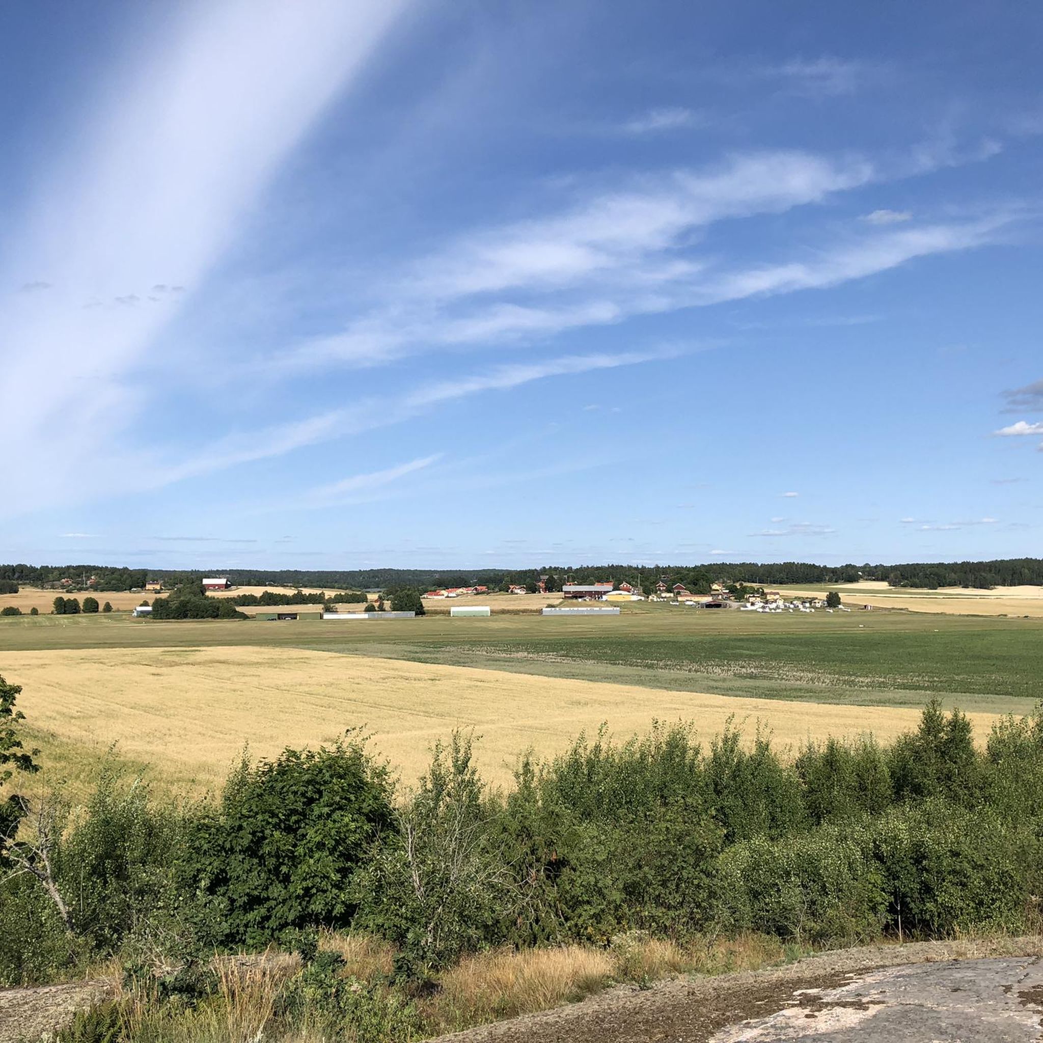
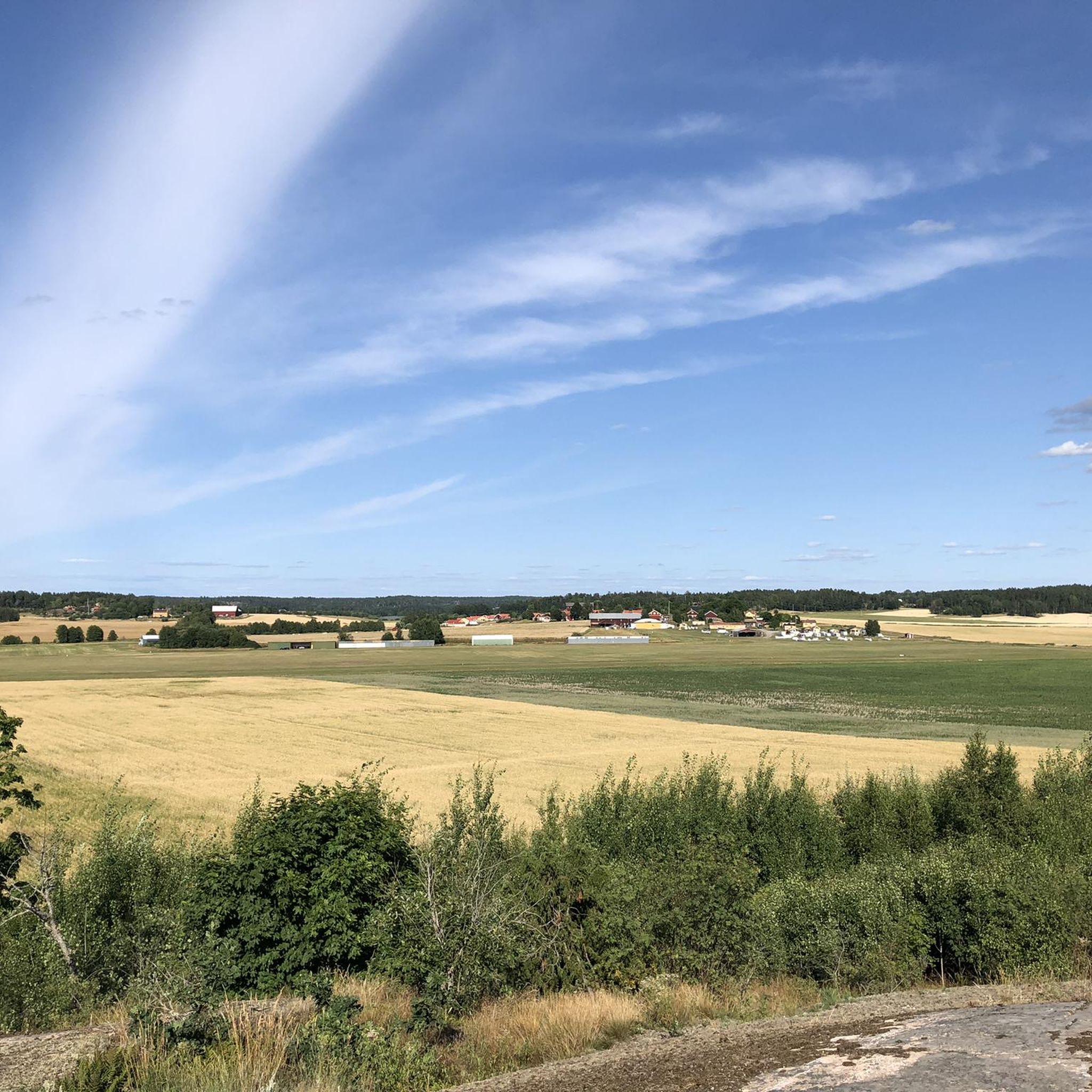
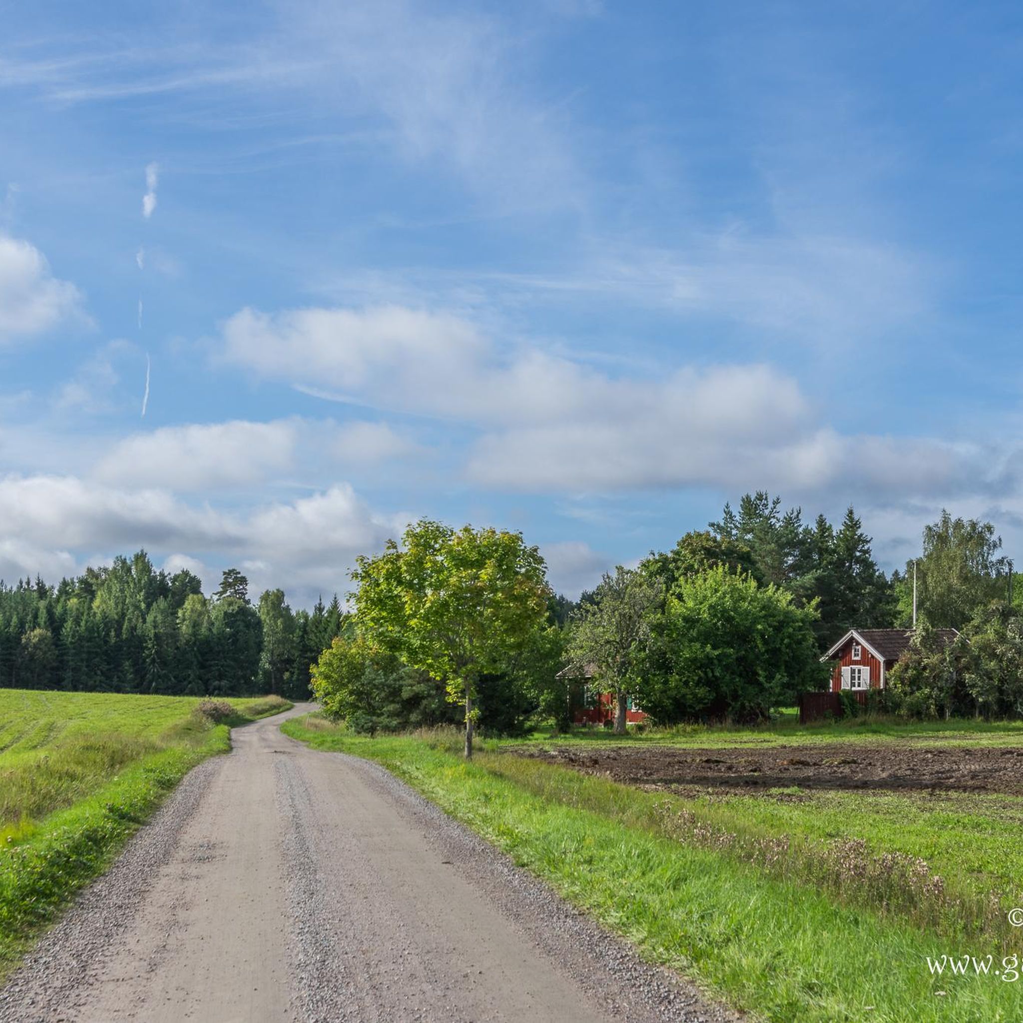

Tips from the Community

From the hiking trail, which runs slightly above Lake Östra Stenjön, you’ll enjoy stunning views of the water. In some places, heather bushes grow, adding splashes of color when the season is right.
0
0
A picturesque hiking trail winds its way through a sparse, green coniferous forest and along Lake Langsjön. Glimpses of the lake can be caught time and again through the gaps between the tree trunks.
0
0

The Ensta observation tower overlooks the entire region. From there, you can admire the forest stretching out to the horizon.
1
0


The view from up here is amazing! The climb along the path from the south side is steep and somewhat challenging, but it's worth it!
2
0
There is a water source here that seems to be located at the bottom of a ditch. The water level of the ditch seemed to be higher than that of the water source itself and there was no flow of water.
0
0
Nice water source close to the hiking path. Water seems clean and had an ok flow for a simple well style water source.
1
0
Small camp spot just next to a gravel road that does not seem to have any regular traffic. There is another spot with a fireplace at the opposite side of the lake as well. A water source is located a little bit south of the lake, but the water did not seem safe to drink when I visited.
1
0
Frequently Asked Questions
What types of landscapes can I expect to see while hiking around Storsjön?
Hiking around Storsjön offers a diverse range of landscapes. You'll encounter expansive lake shores, dense spruce and pine forests, and marshlands often equipped with footbridges. Islands like Frösön and Andersön provide unique environments with panoramic views, pebble beaches, and ancient monuments. For more challenging terrain, the nearby Oviksfjällen mountain range offers rugged scenery.
Are there any easy hiking trails suitable for beginners or leisurely walks?
Yes, Storsjön has several easy trails perfect for beginners or those seeking a relaxed walk. For example, the Moose in the Forest loop from Frustuna is an easy 6.8 km path leading through forested areas. Another gentle option is the Wooden Walkway – Lakeside Campsite and Fire Pit loop from Frustuna, which is 5.3 km and offers lakeside views.
Can I find circular hiking routes around Storsjön?
Many of the trails around Storsjön are designed as circular routes, allowing you to start and end at the same point. A popular example is the Ensta Observation Tower – Drinking water source loop from Laxne, which is 8.6 km long and includes an observation tower. The region also features the well-known "Storsjön runt" trail, an 8-12 km circular loop that immerses hikers in lakeside nature.
Are there any trails with notable viewpoints or natural features?
Absolutely. Frösön Island is renowned for its panoramic vistas over Storsjön, with a prominent lookout tower offering extensive views. The Ensta Observation Tower – Drinking water source loop from Laxne specifically includes an observation tower. You might also encounter stunning waterfalls along trails like the Forsaleden trail, and the Andersön Nature Reserve features beautiful pebble beaches and gnarled pines.
What is the best time of year to go hiking in Storsjön?
The best time for hiking around Storsjön is generally during the warmer months, from late spring to early autumn, when the trails are clear and the weather is pleasant. This period allows you to fully enjoy the lush forests, lake views, and outdoor amenities. While winter hiking is possible, conditions can be challenging with snow and ice, requiring appropriate gear.
Are there any family-friendly hiking options in the Storsjön area?
Yes, Storsjön offers many family-friendly hiking options with gentle gradients, making them safe and enjoyable for children. The trails on Frösön Island and within the Andersön Nature Reserve are often suitable for families, providing opportunities for leisurely walks and exploring nature. Look for easy-rated trails on komoot for the most suitable options.
What do other hikers enjoy most about the trails in Storsjön?
The trails in Storsjön are highly rated by the komoot community, with an average score of 4.7 stars from over 10 reviews. Hikers often praise the diverse terrain, from serene lake shores to peaceful forests, and the well-maintained paths. The opportunity to experience varied natural environments, including marshlands with footbridges, is frequently highlighted.
Are there any trails that feature water elements like waterfalls or lakesides?
Many trails in Storsjön incorporate water features. The region is centered around Storsjön lake, so lakeside paths are common. The Risky water source – Water Source loop from Laxne is a 10.9 km trail that leads through varied terrain with water features. Additionally, the Forsaleden trail is known for its stunning waterfalls.
Where can I find amenities like cafes or restaurants near the hiking trails?
The city of Östersund, located on the east shore of Storsjön, serves as an ideal starting point for regional hikes and offers various services, dining options, and local products. Several trailheads around the lake also provide amenities such as cafes and restaurants, making it convenient to refuel before or after your hike.
Are there opportunities for multi-day hiking or overnight stays in huts?
While many routes are suitable for day trips, Storsjön's extensive network of trails does include options for longer expeditions. Many routes pass by cozy huts, offering places to rest, eat, and even spend the night surrounded by nature, allowing for multi-day adventures for those who wish to explore more deeply.
What is the overall difficulty level of hiking trails around Storsjön?
The hiking trails around Storsjön cater to all experience levels. You can find everything from leisurely walks with gentle gradients to more demanding multi-day expeditions. Out of the 11 tours available, 6 are rated as easy, 4 as moderate, and 1 as difficult, ensuring there's a suitable option for every hiker.
Is public transport available to reach hiking trailheads around Storsjön?
The city of Östersund is a central hub for the region and offers public transport connections. While specific details for every trailhead vary, Östersund's location makes it a convenient base from which to access many of the hiking areas around Storsjön, including those on Frösön Island.

Get inspired with the komoot mobile app


Explore more
Browse the best Hikes in other regions.
