South Central Connecticut Planning Region
South Central Connecticut Planning Region
The 7 Most Amazing Peaks in South Central Connecticut Planning Region
Best mountain peaks in South Central Connecticut Planning Region are characterized by distinctive traprock ridges and rolling hills, offering elevated areas for outdoor activities. These natural formations provide unique geological features and recreational opportunities. The region features several notable elevated areas ideal for hiking and enjoying scenic views, making them popular destinations. These locations stand out for their accessibility, diverse trail networks, and rewarding panoramic views.
Best mountain peaks in South Central Connecticut Planning Region
- The most popular mountain peaks…
Last updated: September 28, 2026
Castle Craig
Highlight • Monument
Tip by

Granite Hill view
Highlight • Viewpoint
Tip by

Sign up now to discover places like this
Get recommendations on the best single tracks, peaks, & plenty of other exciting outdoor places.
View from West Peak
Highlight • Viewpoint
Tip by
East Rock
Highlight • Natural Monument
Tip by

Bluff Head Preserve
Highlight • Viewpoint
Tip by

View of Powder Hill
Highlight • Viewpoint
Tip by

View of Long Island Sound and New Haven from Mount Carmel
Highlight • Viewpoint
There …
Tip by

Bluff Head Preserve
Highlight • Viewpoint
Tip by
Start today with a free account
Your next adventure awaits.
Popular around South Central Connecticut Planning Region

On the trail of the Pilgrim Fathers – road trip along the Atlantic coast
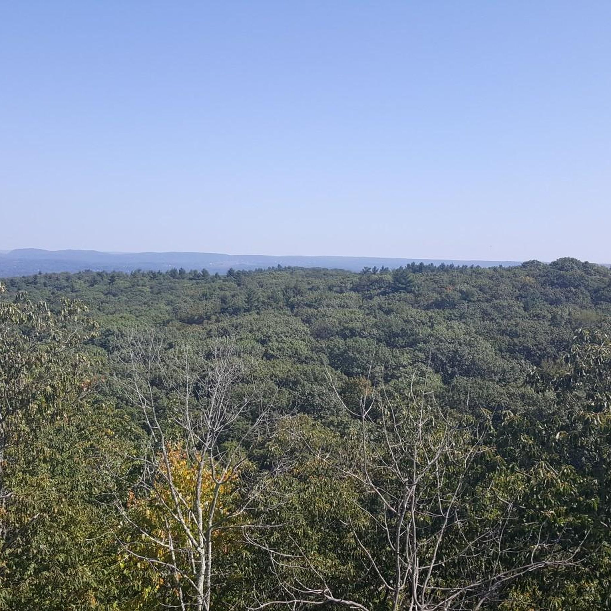
Hiking in South Central Connecticut Planning Region
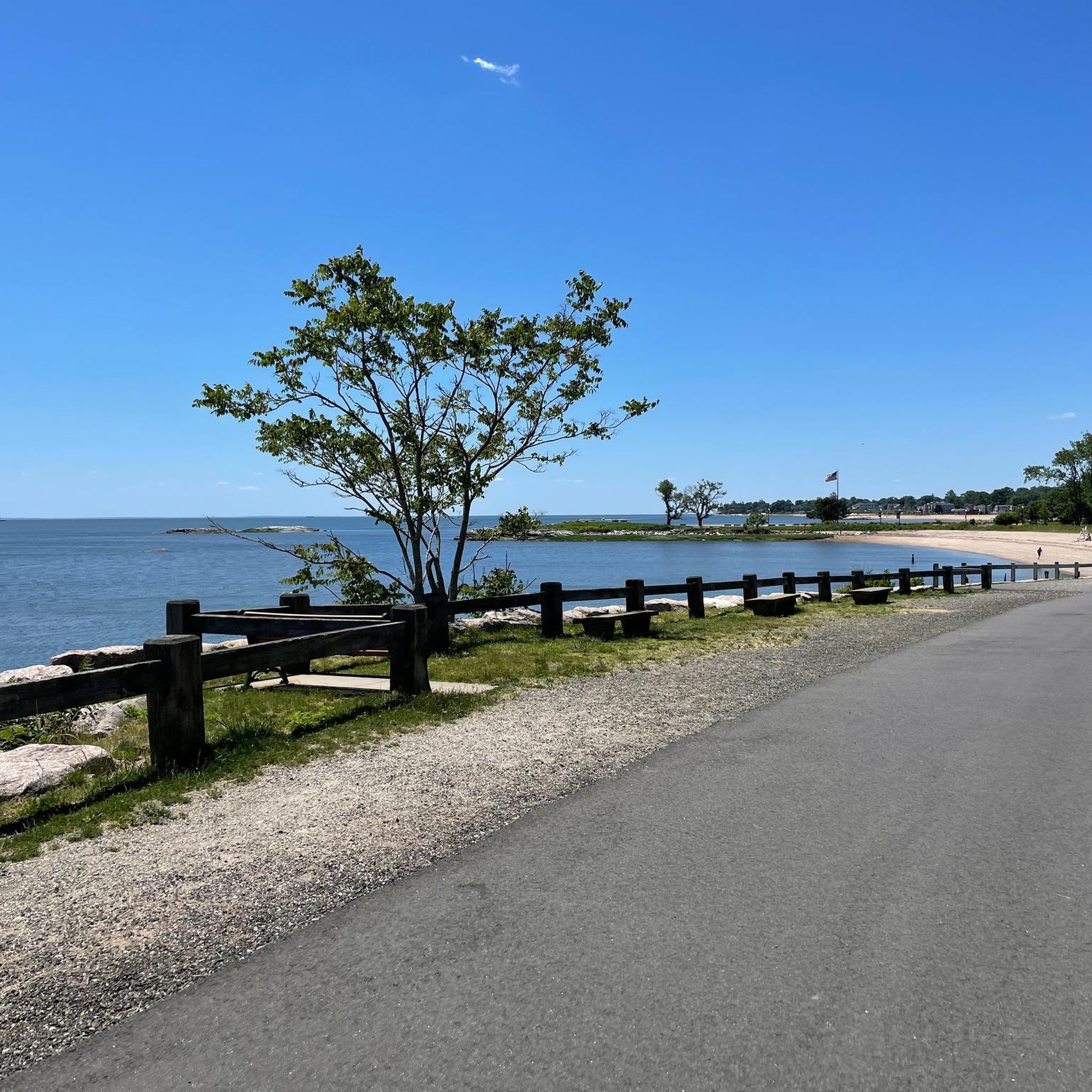
Cycling in South Central Connecticut Planning Region

Running Trails in South Central Connecticut Planning Region
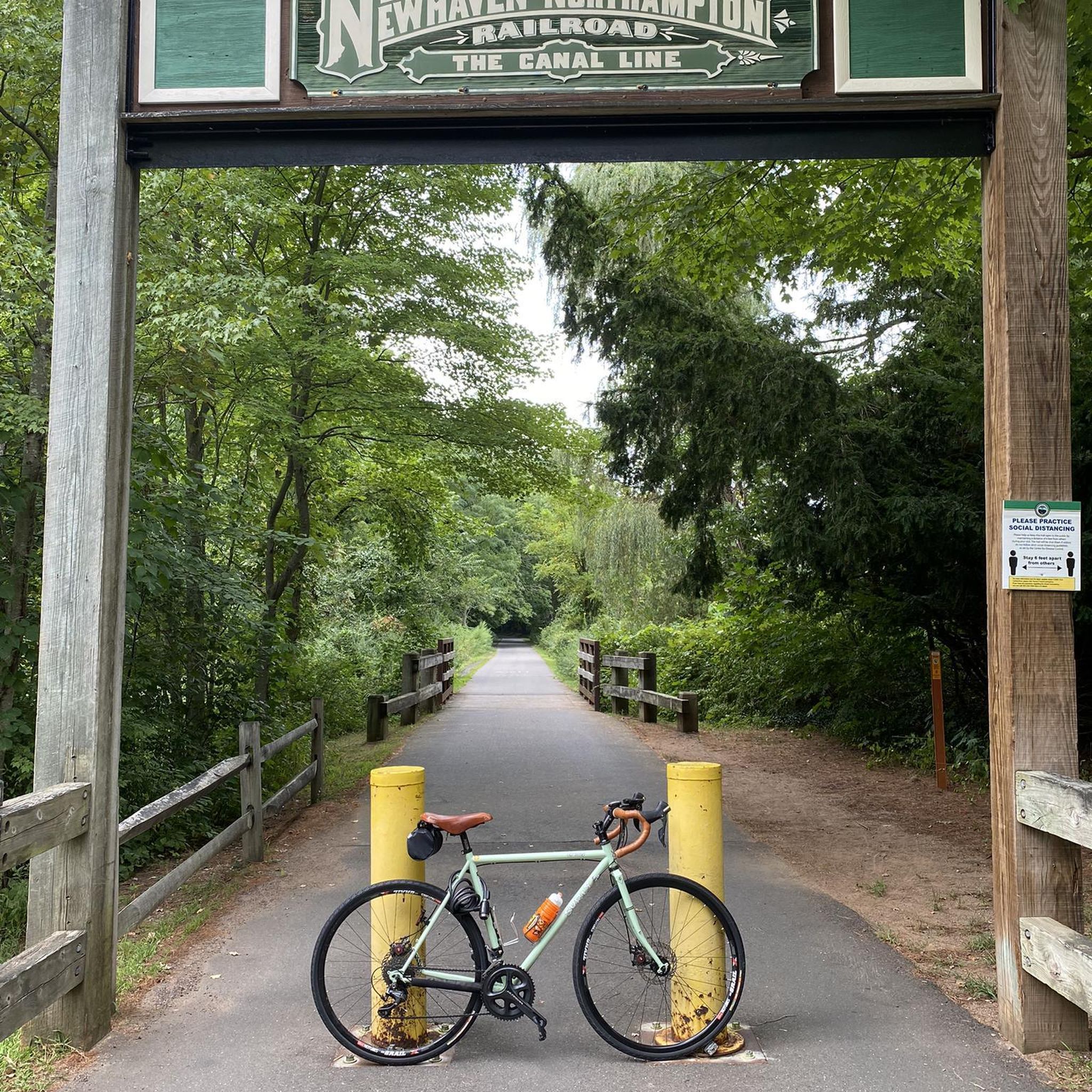
MTB Trails in South Central Connecticut Planning Region
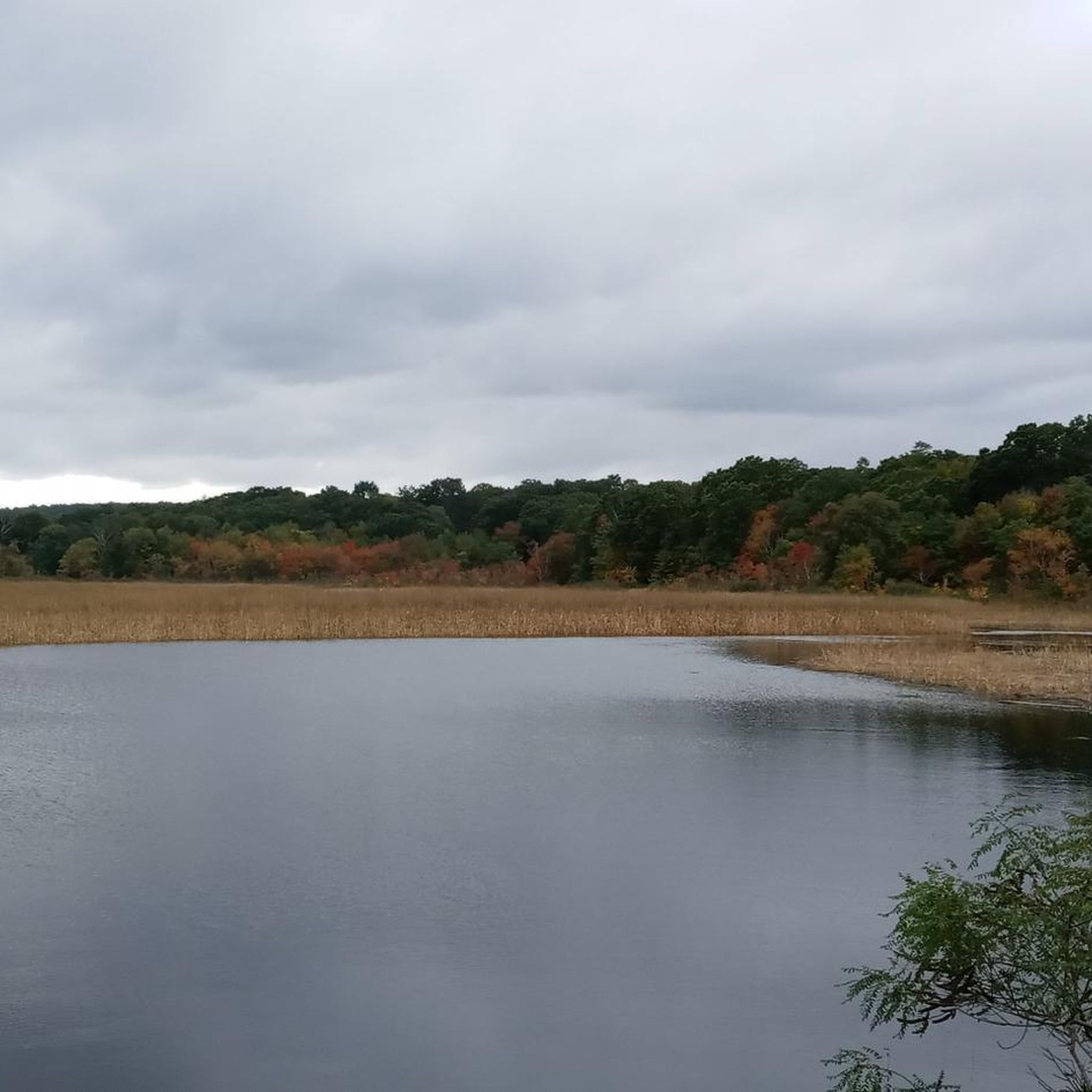
Road Cycling Routes in South Central Connecticut Planning Region
Gravel biking in South Central Connecticut Planning Region
Other adventures in South Central Connecticut Planning Region

Tips from the Community

Welcome to our new home! Wonderful region for all outdoor activities.
0
0

At 900 feet West Peak offers stunning views into Meriden and the valley of Quinnipiac River. Next to the parking lot you will find a beautiful flower garden, picnic tables as well as an area for open-air concerts.
4
0

Sleeping Giant State Park is a 1,465 acre park. The top of the mountain in the park resembles a sleeping giant, which is where the park's name comes from. There are biking and hiking paths, a picnic area and from the peak of Mt. Carmel, there is an excellent view of Long Island Sound and the New Haven area.
0
0

Powder Hill is a viewpoint and the top of the lifts at Powder Ridge Ski Area. The overlook sits off to the side of the Mattabesett Trail, which gives access to this overlook along with a few other high points. There are a couple different spots you can park to gain access to the Mattabesett Trail and a few different route options for climbing up to this particular overlook.
0
0

Bluff Head Preserve is a natural area located in the north of Guilford, Connecticut. Covering approximately 83 acres, the preserve offers a network of trails that wind through diverse ecosystems, including woodlands and wetlands. The highlight of the preserve is the name-giving Bluff Head, a rocky summit that provides stunning views.
0
0
Bluff Head Preserve is a natural area located in the north of Guilford, Connecticut. Covering approximately 83 acres, the preserve offers a network of trails that wind through diverse ecosystems, including woodlands and wetlands. The highlight of the preserve is the name-giving Bluff Head, a rocky summit that provides stunning views.
0
0
Powder Hill is a viewpoint and the top of the lifts at Powder Ridge Ski Area. The overlook sits off to the side of the Mattabesett Trail, which gives access to this overlook along with a few other high points. There are a couple different spots you can park to gain access to the Mattabesett Trail and a few different route options for climbing up to this particular overlook.
0
0

East Rock is a 1.4-mile long trap rock ridge with a high point of 366 feet. This particular section of this long ridge features prominent sheer rock cliffs that rise over 300 feet above the town below. At the top of these cliffs is the Soldiers and Sailors Monument and a road and parking area. There are popular hiking, running, and biking trails all around East Rock, which are open year round.
0
1
Frequently Asked Questions
What are the most popular elevated areas for scenic views in the South Central Connecticut Planning Region?
The region offers several popular elevated areas known for their scenic views. Castle Craig in Hubbard Park provides panoramic views of the Meriden area and even the Atlantic Ocean from its observation tower. View from West Peak offers stunning vistas into Meriden and the Quinnipiac River valley. Additionally, East Rock provides impressive views of the New Haven city skyline, Long Island Sound, and surrounding natural areas.
Are there family-friendly elevated areas for hiking in the South Central Connecticut Planning Region?
Yes, several elevated areas are suitable for families. Sleeping Giant State Park, with its distinctive traprock ridge, offers a variety of trails, including the popular Tower Trail, which is a moderate 3.5-mile loop leading to an observation tower. View from West Peak is also considered family-friendly, featuring a flower garden and picnic tables near the parking area, making it a pleasant spot for an outing.
What unique natural features can I expect to see on these elevated trails?
The region is characterized by its distinctive traprock ridges and rolling hills. You'll encounter unique geological formations, such as the prominent ridge resembling a sleeping giant at Sleeping Giant State Park. East Rock features impressive sheer rock cliffs rising over 300 feet. These formations provide diverse ecosystems and dramatic landscapes.
What historical landmarks can be found at the elevated viewpoints?
At Castle Craig, you'll find a 32-foot stone observation tower built in October 1900, offering a unique historical structure with expansive views. On top of East Rock, visitors can see the Soldiers and Sailors Monument, commemorating historical events and offering a significant cultural landmark alongside the natural beauty.
What are some popular hiking trails near these elevated areas?
For hiking, Sleeping Giant State Park offers over 30 miles of trails, including the popular Tower Trail. West Rock Ridge State Park features the moderate 7.1-mile Regicides Trail and the 7.9-mile West Rock Perimeter Loop. East Rock Park also has popular hiking, running, and biking trails available year-round. South Mountain in Meriden includes routes that are part of the long-distance Metacomet Trail.
Are there opportunities for mountain biking near the elevated areas?
Yes, the South Central Connecticut Planning Region offers mountain biking opportunities. For specific routes and more details, you can explore the MTB Trails in South Central Connecticut Planning Region guide, which includes trails like the Summit Trail Loop and the East Rock Park loop.
Where can I find panoramic views of Long Island Sound and the New Haven area?
For stunning views of Long Island Sound and the New Haven area, head to Mount Carmel within Sleeping Giant State Park. From the peak, you can enjoy excellent vistas across the landscape.
What kind of views does <a href="https://www.komoot.com/highlight/4469778" target="_blank" rel="noopener">Granite Hill view</a> offer?
Granite Hill view provides a wonderful perspective of a granite hill and allows visitors to see Sleeping Giant mountain. The tower at the top of Granite Hill offers expansive views of the entire valley.
Are there any elevated areas that are easily accessible by road?
Yes, East Rock Park is particularly accessible, as it features a road and parking area at its summit, making it easy to reach the Soldiers and Sailors Monument and enjoy the views without a long hike.
What other outdoor activities can I do near these elevated areas?
Beyond hiking and mountain biking, the region offers various outdoor activities. You can find numerous running trails, such as those detailed in the Running Trails in South Central Connecticut Planning Region guide. There are also opportunities for birdwatching, picnicking, and exploring diverse ecosystems.
What is the best time to visit the elevated areas in South Central Connecticut?
The elevated areas in South Central Connecticut are enjoyable year-round. Spring and fall offer pleasant temperatures and vibrant foliage, making them ideal for hiking. Summer is great for longer days and picnics, while winter can provide unique, serene landscapes, though some trails might be more challenging due to snow or ice. Always check local conditions before heading out.
Can I find trails that are part of a longer scenic route in this region?
Yes, South Mountain in Meriden includes various hiking trails, some of which are part of the Metacomet Trail. This is a long-distance scenic trail, offering extended hiking opportunities and connecting to broader natural areas.
Most popular routes in South Central Connecticut Planning Region
Most popular attractions in South Central Connecticut Planning Region

Get inspired with the komoot mobile app


Didn’t find what you were looking for?
Discover South Central Connecticut Planning Region’s best peaks and summits by region:
Explore more
See even more amazing summits in South Central Connecticut Planning Region with these guides:
