The best walks and hikes in South Central Connecticut Planning Region
4.6
(229)
2,052
hikers
312
hikes
Hiking in South Central Connecticut Planning Region offers diverse landscapes, from coastal plains along the Long Island Sound to prominent traprock ridges. The region's geological history, shaped by glacial activity, has created a landscape featuring woodlands, small lakes, and wetlands. These natural features provide varied terrain and elevation for hiking. The extensive trail networks accommodate different preferences, from challenging climbs up rocky hills to leisurely coastal and woodland walks.
Best hiking trails in South Central Connecticut Planning Region
- The most…
Last updated: August 31, 2026
4.0
(3)
21
hikers
6.55km
01:59
190m
200m
Embark on the Sleeping Giant Blue and Tower Trail Loop, a difficult hiking route that challenges you with rugged, rocky terrain and significant elevation changes. You will navigate rock scrambles…
5.0
(6)
21
hikers
9.84km
02:36
90m
90m
Embark on a moderate hike along the Mill Pond Way Trail, a 6.1 miles (9.8 km) loop that takes about 2 hours and 36 minutes to complete. You will gain…

Sign up for free
5.0
(2)
19
hikers
2.94km
00:46
10m
20m
The Lake Wintergreen Trail offers a delightful and accessible escape into nature, circling the picturesque 44-acre Lake Wintergreen. This easy 1.8-mile (2.9 km) loop, with a minimal 48 feet (15…
5.0
(1)
18
hikers
2.77km
00:47
0m
170m
The Tower Trail offers a delightful, easy walk to a prominent landmark, making it a perfect choice for a quick outdoor escape. You'll follow a clear path that leads directly…
5.0
(1)
15
hikers
7.13km
02:06
200m
200m
Embark on the Tower and Nature Trail Loop, a moderate 4.4-mile (7.1 km) hike that typically takes about 2 hours and 5 minutes to complete. You will ascend 662 feet…
4.3
(6)
10
hikers
16.3km
04:57
540m
500m
The Violet and Orange Trails wind through Sleeping Giant State Park, offering a moderate hike that spans 10.1 miles (16.3 km). You will ascend 1784 feet (544 metres) over approximately…
10
hikers
4.70km
01:18
80m
80m
The Lake Wintergreen and Regicides Trail Loop offers a captivating journey through diverse landscapes, from the tranquil shores of Lake Wintergreen to the rugged, panoramic ridgeline. You'll experience the serene…
5.0
(3)
9
hikers
9.52km
02:44
220m
220m
Embark on the Sleeping Giant Violet and Yellow Trail Loop for a moderate hike that spans 5.9 miles (9.5 km) and climbs 705 feet (215 metres). You can expect to…
5.0
(4)
7
hikers
12.7km
03:37
290m
200m
Embark on the West Rock Perimeter Loop for a moderate hiking adventure that covers 7.9 miles (12.7 km) and climbs 962 feet (293 metres) over approximately 3 hours and 36…
6
hikers
6.98km
01:58
120m
120m
Discover the Mount Lamentation Loop, a moderate hiking route that offers nearly constant views from its ridgeline. This trail spans 4.3 miles (7.0 km) and involves an elevation gain of…
Get access to more routes and recommendations from other explorers.
Sign up for free
Already have an account?
Our route recommendations are based on thousands of hikes, rides, and runs completed by other people on komoot.
Start today with a free account
Your next adventure awaits.
Login or Signup
Popular around South Central Connecticut Planning Region
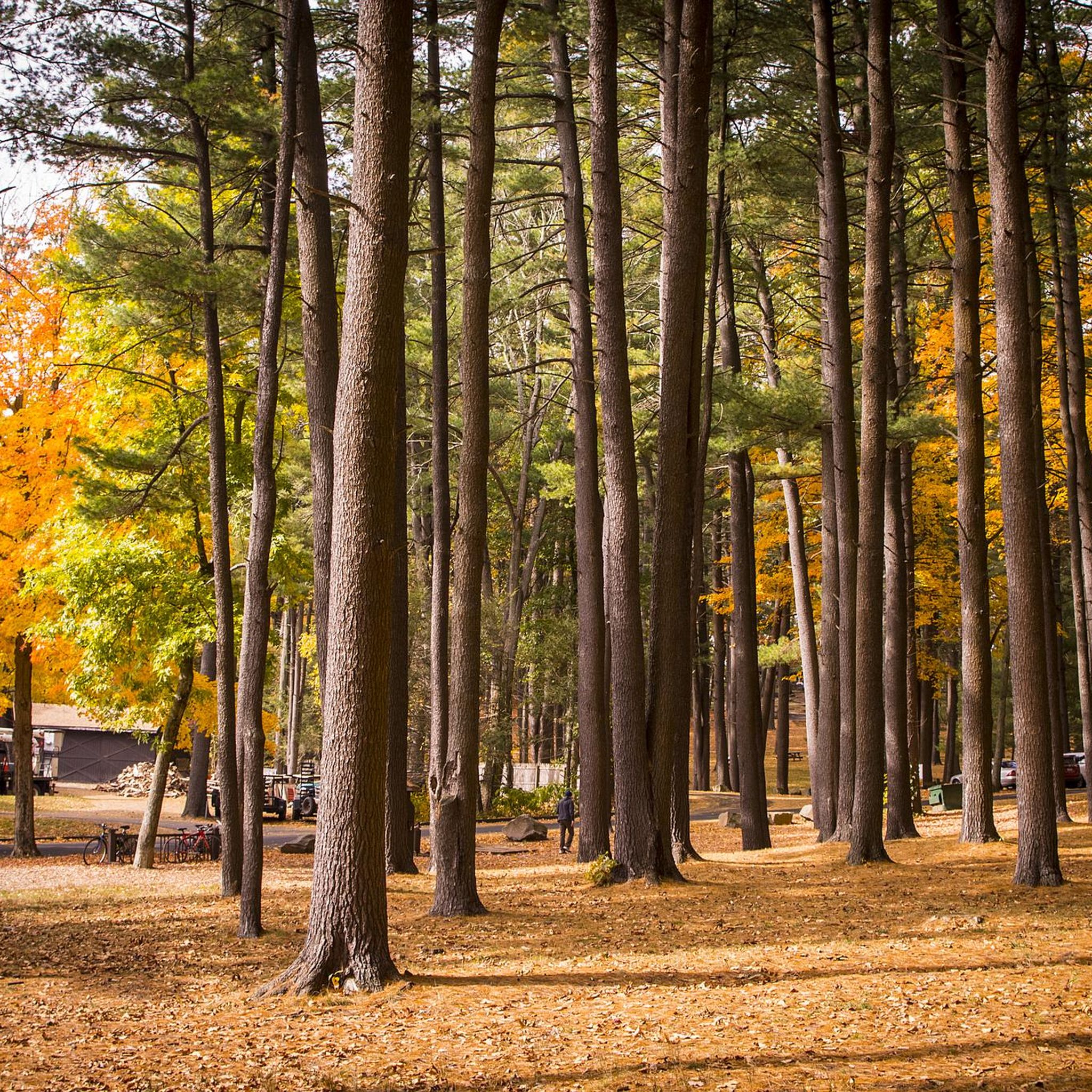
Hiking in Sleeping Giant State Park

Hiking around Heritage Village
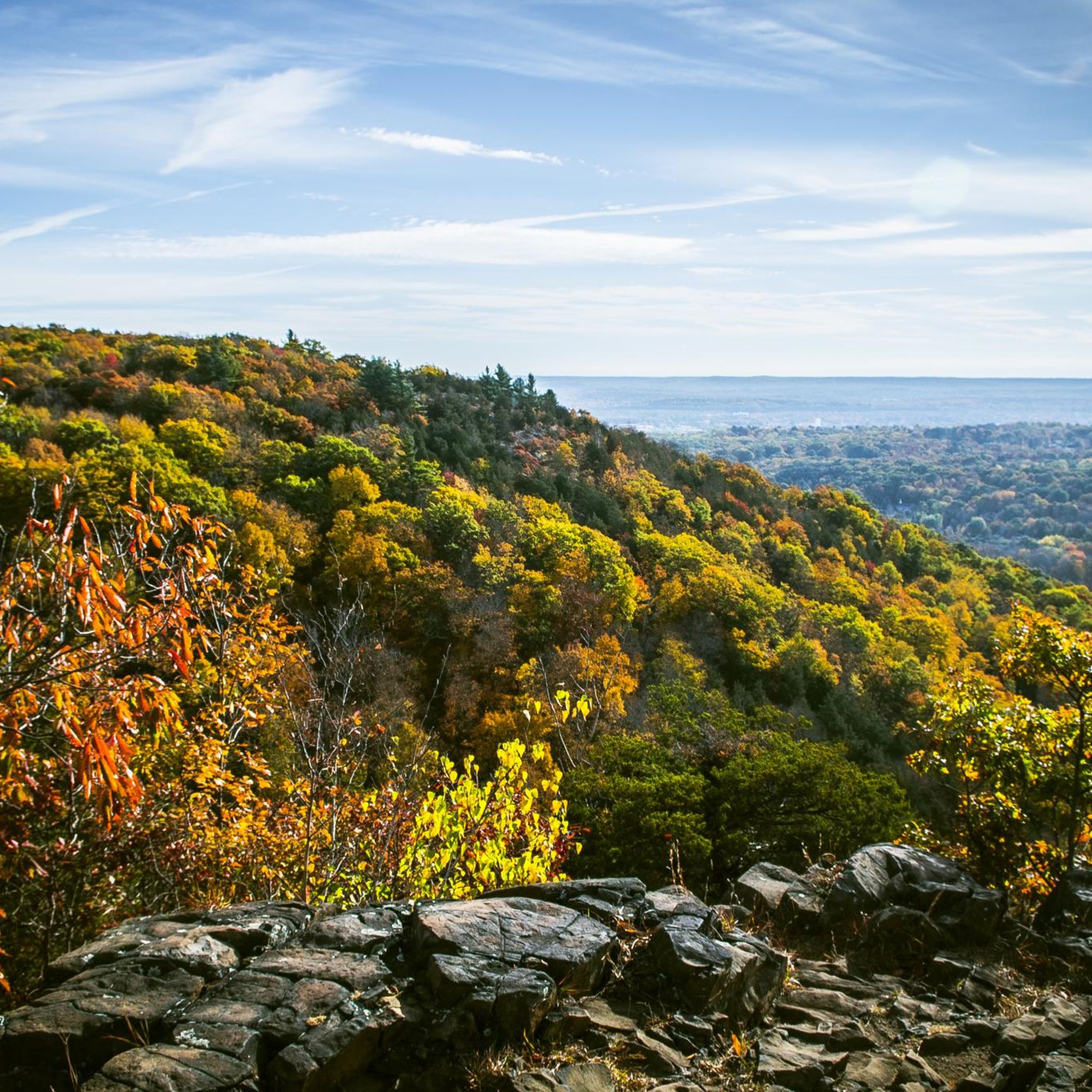
Hiking in Naugatuck State Forest
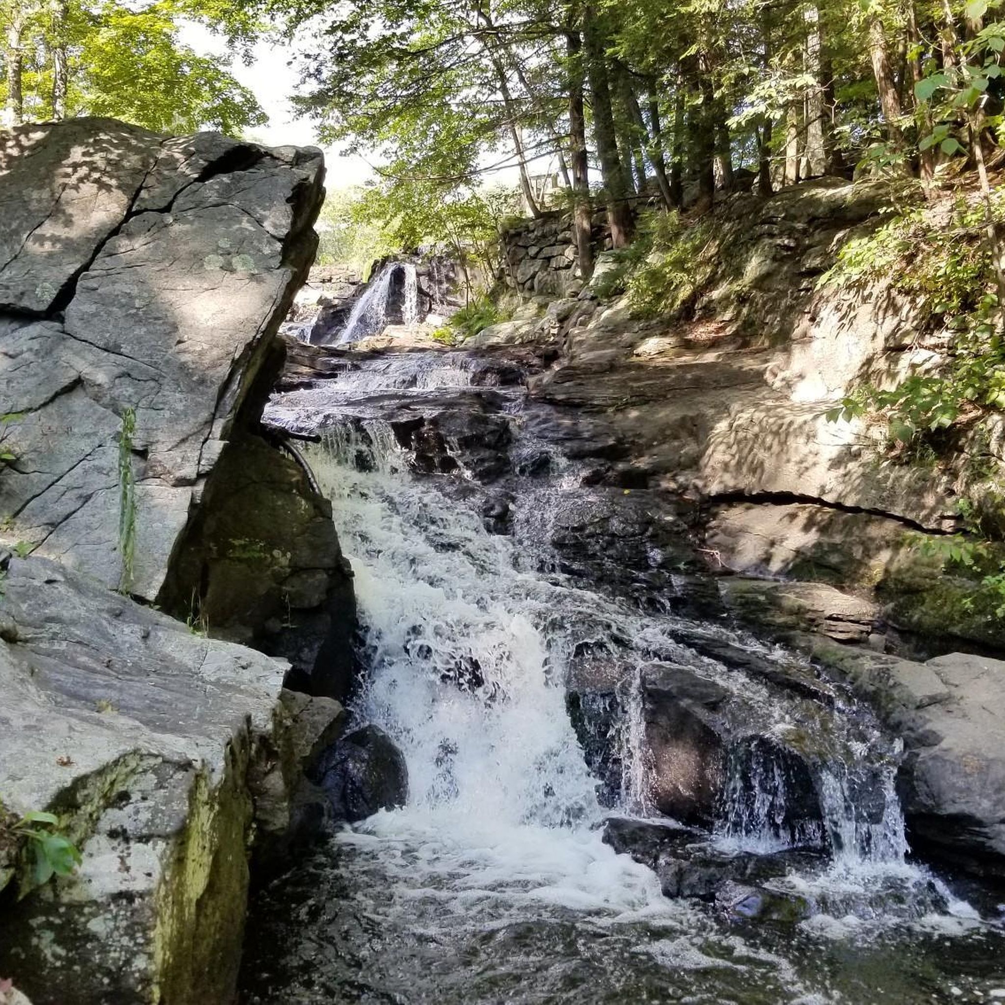
Hiking in Southford Falls State Park
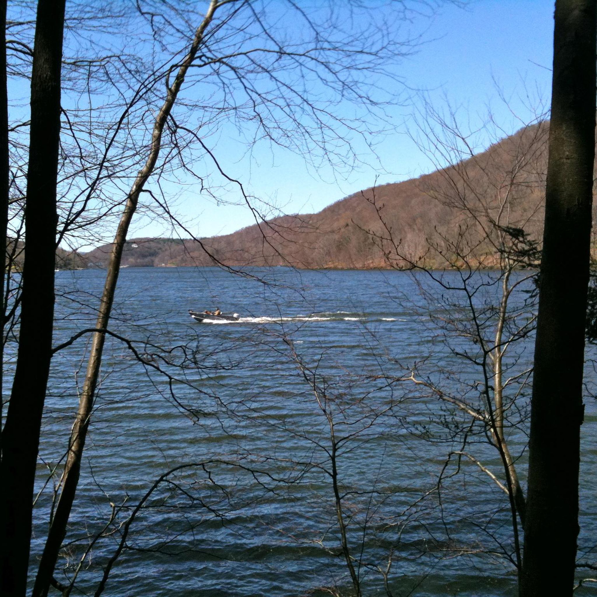
Hiking in George C. Waldo State Park
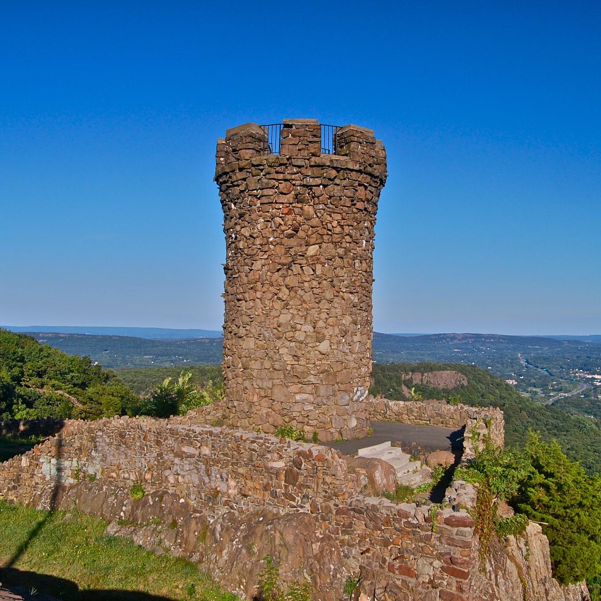
Hiking around Meriden
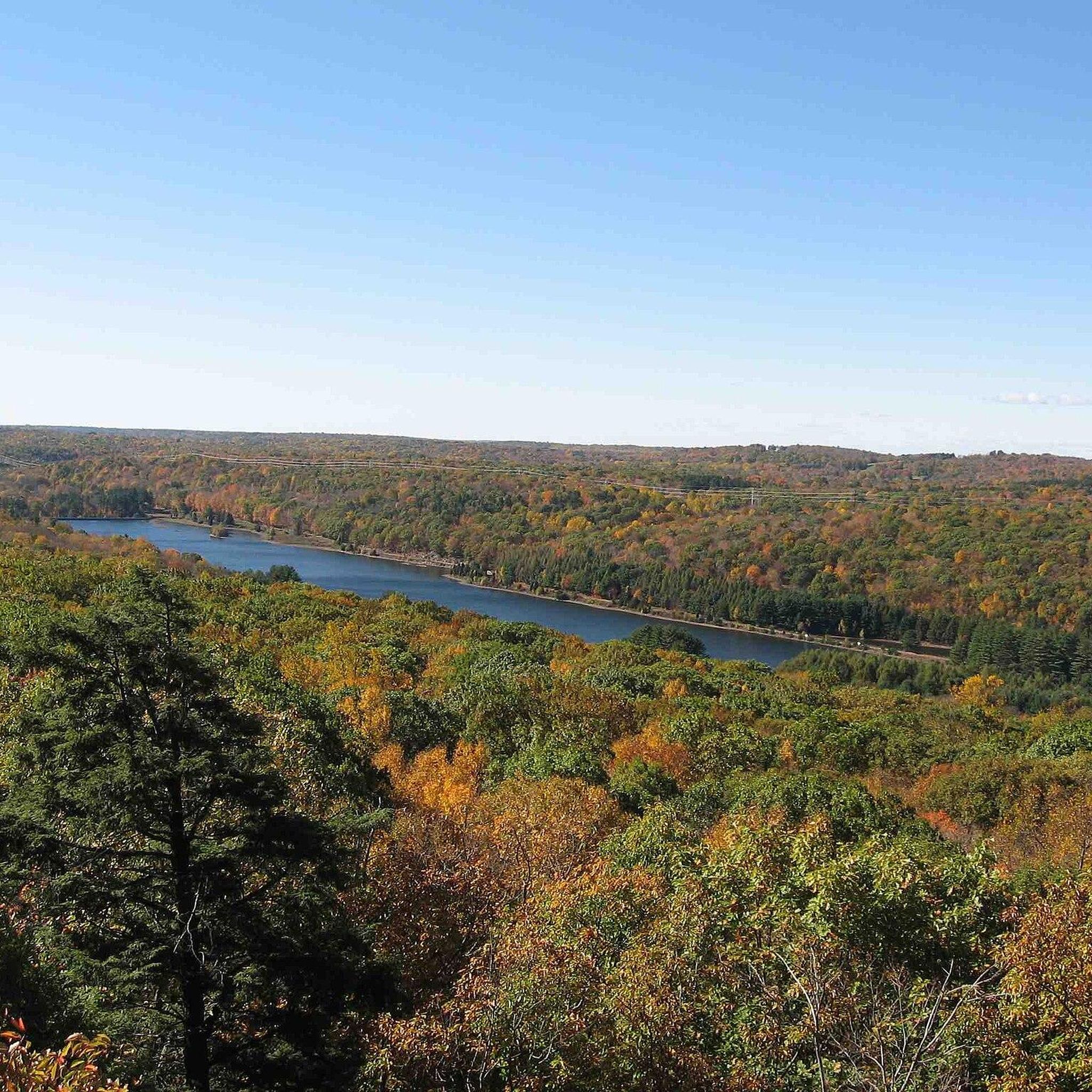
Hiking in West Rock Ridge State Park
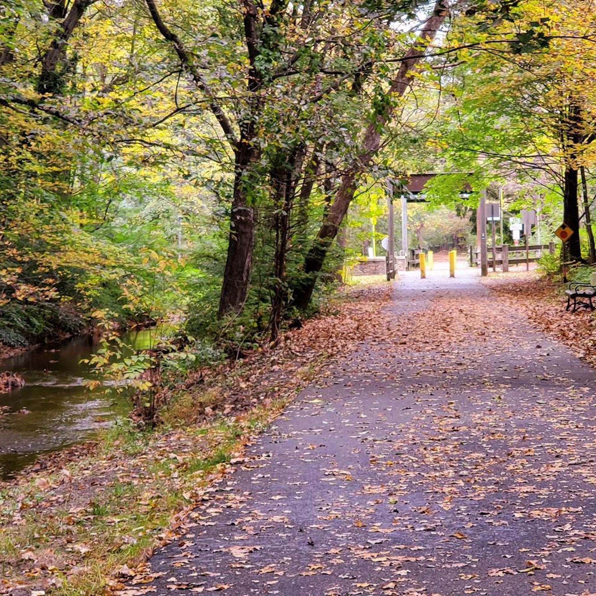
Hiking around Cheshire Village

Hiking around Université Quinnipiac
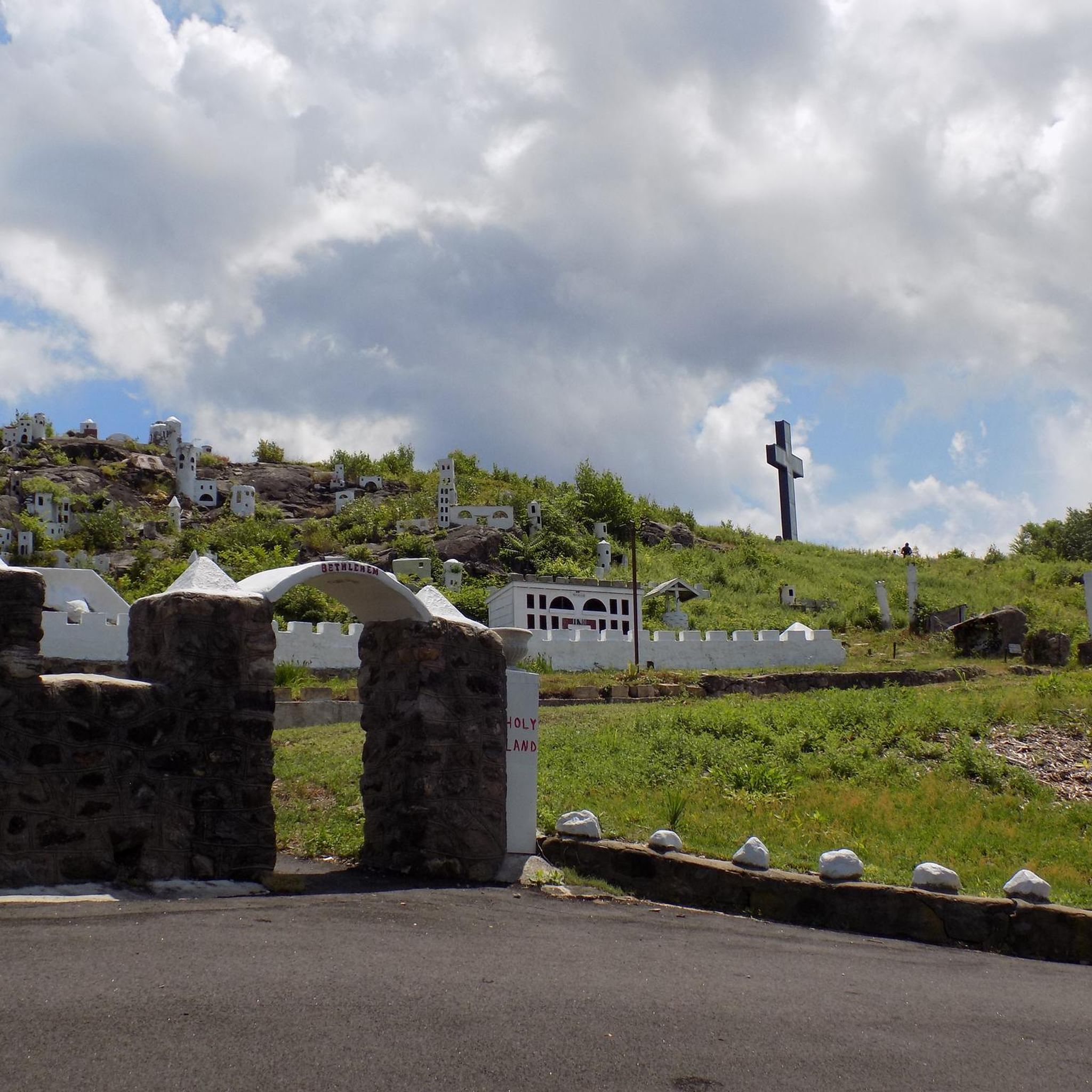
Hiking around Waterbury
Other adventures in South Central Connecticut Planning Region

Tips from the Community

Here you will find 3-5 primitive tent sites with no reservation required. You can view and indicate 'intent to stay' and view more information about amenities at the NET site here: https://newenglandtrail.org/overnight-sites/lamentation-mt-state-park-primitive-tentsite/.
0
0

From this spot on the fantastic, exposed, sheer ridge line you get great views of Lake Watrous and the surrounding area. Be sure to sip some water, snap a few photos, and take in the view as you traverse the cliffy ridge on the challenging Regicides Trail.
0
0
Lake Wintergreen is a beautiful freshwater lake that is part of West Rock Ridge State Park. There is a beach, a nature trail that loops around the entire lake, and additional trails that connect to the Regicides Trail. You can canoe, kayak, and fish and there is a composting toilet at the main Lake Wintergreen parking area.
0
0

Sleeping Giant State Park is a 1,465 acre park. The top of the mountain in the park resembles a sleeping giant, which is where the park's name comes from. There are biking and hiking paths, a picnic area and from the peak of Mt. Carmel, there is an excellent view of Long Island Sound and the New Haven area.
0
0

Lamentation Mountain is part of the Hanging Hills in Meriden, Connecticut. Offering scenic hiking trails, the mountain provides panoramic views of the surrounding areas, including Meriden and the Quinnipiac River Valley.
0
0
From this spot on the trail you get nice views up and down the West River from a footbridge. This is a great place to pause and look out for water fowl and other animals as you explore the town open space.
0
0
From this spot on the fantastic, exposed, sheer ridge line you get great views of Lake Watrous and the surrounding area. Be sure to sip some water, snap a few photos, and take in the view as you traverse the cliffy ridge on the challenging Regicides Trail
0
0
From this spot up on the ridge line on Regicides Trail, you get great views overlooking Konolds Pond and the surrounding area. This is a great place to snap some photos and sip some water before continuing on your hike.
0
0
Frequently Asked Questions
Are dogs allowed on the hiking trails in South Central Connecticut?
Yes, many trails in the region are dog-friendly, but policies can vary by park. Most state parks, like Southford Falls State Park, allow leashed dogs on trails. It's always a good practice to check the specific regulations for the park you plan to visit before you go. For a moderately challenging hike with your dog, consider the Mount Sanford loop via Quinnipiac Trail in Naugatuck State Forest.
What are some good, easy hikes suitable for families?
The region has many family-friendly options. For a very easy walk with coastal scenery, the Silver Sands State Park to Walnut Beach boardwalk in Milford is a great choice. Another popular and easy option is the East Rock loop in New Haven, which offers rewarding views without a strenuous climb.
Where can I find hikes with the best scenic viewpoints?
The traprock ridges in this region provide fantastic views. For some of the most dramatic scenery, the High point loop via Yellow and Orange trails in Sleeping Giant State Park leads to sweeping vistas. Similarly, the trails at West Rock Ridge State Park offer stunning panoramas of the New Haven area and Long Island Sound.
Are there any challenging hikes for experienced hikers?
Yes, for those seeking a more strenuous workout, the region offers several difficult trails. A great option is the Cliff climb (Giant's Chin) loop, which involves steep, rocky sections along the blue-blazed Quinnipiac Trail. The Mattabesett Trail, which passes through Meriden, also has rugged sections with significant elevation changes.
What are some good circular walks in the area?
Many of the best hikes in the region are loops, allowing you to see new scenery for the entire walk. The Bradley Hubbard Reservoir loop in Meriden is a moderate circular route around a scenic reservoir. For a longer loop with great views, the East Rock (4 Peaks) loop covers varied terrain within East Rock Park.
How many hiking trails are available in the South Central Connecticut Planning Region?
There are over 180 designated hiking routes in the region. These range from easy coastal walks to difficult ridge-line treks, offering a wide variety of options for all skill levels across numerous state parks and preserves.
What do other hikers think of the trails in this region?
The trails in South Central Connecticut are highly regarded by the komoot community, with an average rating of 4.6 stars. Hikers often praise the dramatic views from the traprock ridges, the well-maintained paths in state parks, and the variety of landscapes available, from shoreline to woodland.
Are there any waterfall hikes in the region?
While the region isn't primarily known for large waterfalls, you can find beautiful cascades. Southford Falls State Park in Southbury is a local favorite, featuring picturesque falls along its trail system. The park offers pleasant walks along the water, making it a great destination for a scenic hike.
What is the best time of year to hike in South Central Connecticut?
Autumn is a spectacular time to hike, as the region's extensive woodlands display vibrant fall colors. Spring is also wonderful, with mild weather and blooming flora. Summer can be hot and humid, so early morning hikes are recommended. Winter hiking is possible but be prepared for icy conditions, especially on the rocky ridges.
Are there any free hiking trails in the area?
Yes, many excellent hiking trails in the region are free to access. Parks like East Rock Park in New Haven and various land trust preserves, such as Hidden Valley Preserve, offer extensive trail networks without an entry fee. While some state parks may charge a parking fee, especially during peak season, access to the trails themselves is typically free.
Can I access any of the trailheads using public transport?
Yes, some trailheads are accessible via public transportation, particularly those near urban centers. For example, East Rock Park and West Rock Ridge State Park in the New Haven area can be reached by local bus services. However, for most parks and trailheads, especially those in more rural locations, traveling by car is more practical.
Most popular routes in South Central Connecticut Planning Region
Most popular attractions in South Central Connecticut Planning Region

Get inspired with the komoot mobile app


Didn’t find what you were looking for?
Check out more Hikes throughout South Central Connecticut Planning Region below and find the perfect route in your destination.
Explore more
Browse the best Hikes in other regions.
