The best cycling routes in San Miguel County
4.0
(1)
55
riders
11
rides
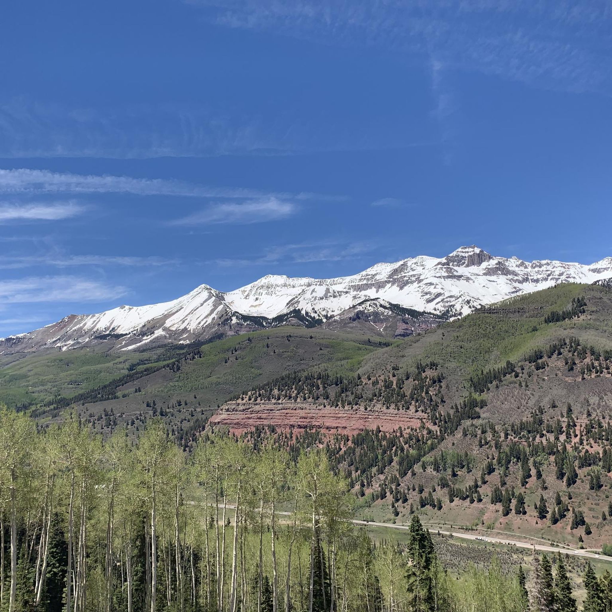
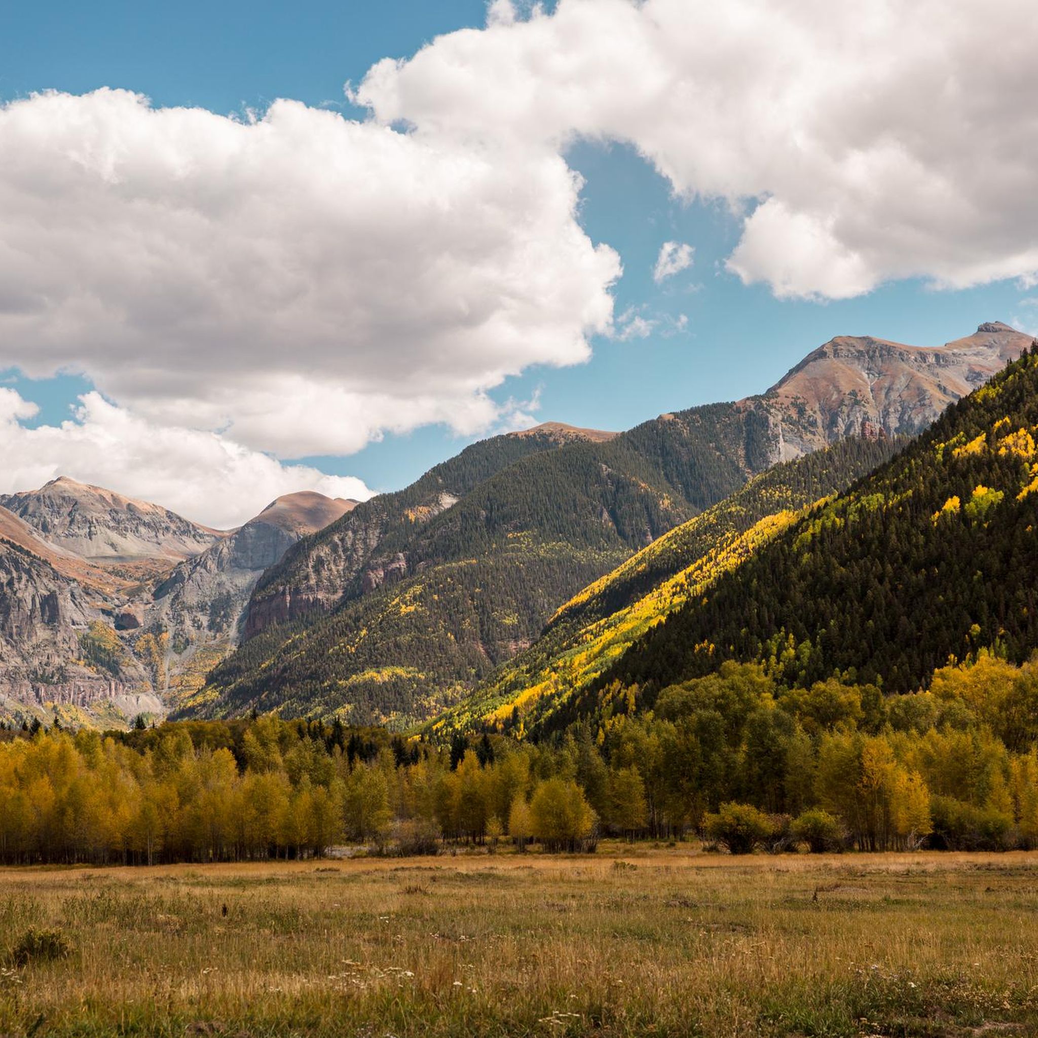
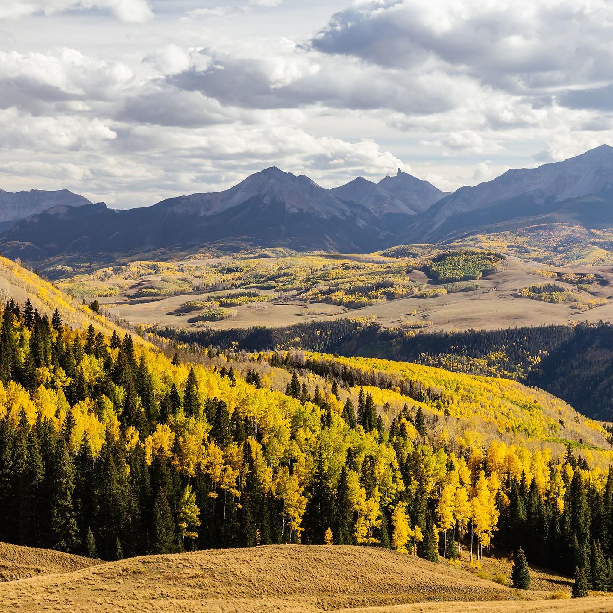
Touring cycling in San Miguel County, Colorado, traverses diverse landscapes within the Rocky Mountains, featuring towering peaks, high desert mesas, and alpine terrain. The region is characterized by dramatic box canyons, rugged cliffs, and the San Miguel River valley, which offers views of surrounding peaks. The San Miguel River is a vital natural feature, supporting riparian habitats and flowing through a narrow canyon with red-rock sandstone walls. This varied topography provides a range of cycling experiences from valley floors to…
Last updated: October 10, 2026
4.0
(1)
16
riders
19.6km
01:12
140m
140m
Easy bike ride. Great for any fitness level. Mostly paved surfaces. Suitable for all skill levels.
6
riders
45.8km
03:10
840m
840m
Hard bike ride. Very good fitness required. Mostly paved surfaces. Suitable for all skill levels.

5
riders
25.7km
01:44
380m
380m
Moderate bike ride. Good fitness required. Mostly paved surfaces. Suitable for all skill levels.
5
riders
27.2km
02:38
620m
620m
Hard bike ride. Very good fitness required. Mostly paved surfaces. Suitable for all skill levels.
3
riders
34.4km
03:06
660m
660m
Hard bike ride. Very good fitness required. Mostly paved surfaces. Suitable for all skill levels.
2
riders
23.0km
02:05
450m
450m
Moderate bike ride. Good fitness required. Mostly paved surfaces. Suitable for all skill levels.
50.2km
03:07
500m
500m
Hard bike ride. Very good fitness required. Mostly paved surfaces. Suitable for all skill levels.
40.7km
04:08
1,060m
1,060m
Hard bike ride. Very good fitness required. Mostly paved surfaces. Suitable for all skill levels.
82.0km
06:55
990m
990m
Hard bike ride. Very good fitness required. Mostly paved surfaces. Suitable for all skill levels.
10
riders
9.16km
00:39
110m
110m
Easy bike ride. Great for any fitness level. Mostly paved surfaces. Suitable for all skill levels.
Our route recommendations are based on thousands of hikes, rides, and runs completed by other people on komoot.
Start today with a free account
Your next adventure awaits.
Other adventures in San Miguel County

Tips from the Community

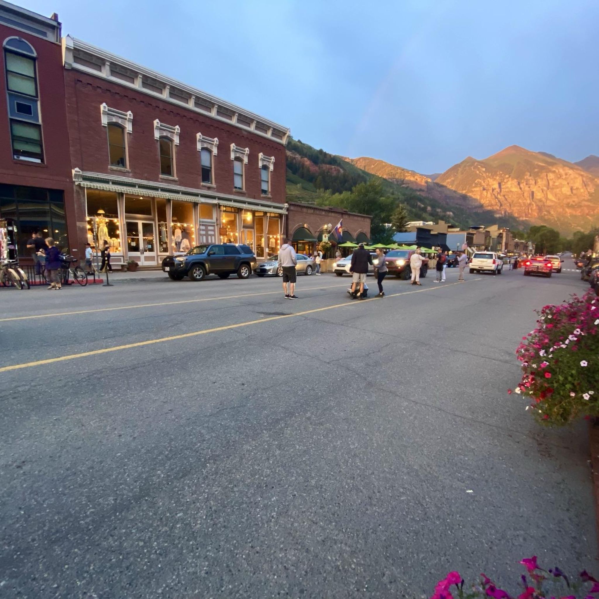
A charming little town in the Rocky Mountains, it has a past as a mining settlement and a present as a tourist destination. On the southern side of the valley is a ski resort with hiking trails, and further east, untouched areas are located beyond the ski slopes. On the northern side of the valley, there are hiking trails and plenty of nature.
0
0
For a ski resort built from scratch in the 20th century, Mountain Village is quite impressive. Hiking, mountain biking, and golf are available in the summer. A weekly public scientific lecture is held for laypeople, for which one participant is selected from one of the workshops taking place that week in Telluride.
0
0

The San Miguel River starts southwest of Telluride in the San Juan Mountains and flows northwest along the Uncompahgre Plateau. It's one of the last free-flowing rivers in the Southwest
0
0

The Galloping Goose Trail is a popular biking, hiking and running trail near Telluride. It follows an old narrow-gauge rail line for 19 miles until Lizard Head Pass.
0
0
The San Juan Skyway is one of the thirteen America's Byways in Colorado and was designated as an All-American Road in 1996. This section runs from the small town of Placerville to Telluride. It winds through a beautiful canyon of red rocks and high peaks following the San Miguel River.
1
0
Telluride is a former mining town set in a beautiful box canyon surrounded by rugged peaks. It also sits at the base of a popular ski resort with a free gondola that runs year round.
0
0
This is where Last Dollar Road turns from pavement to dirt & it makes for a good turnaround spot. There's a large open lot where you can take in incredible views of the San Juan Mountains.
0
0
The San Miguel River starts southwest of Telluride in the San Juan Mountains and flows northwest along the Uncompahgre Plateau. It's one of the last free-flowing rivers in the Southwest.
0
0
Frequently Asked Questions
How many touring cycling routes are available in San Miguel County?
San Miguel County offers a variety of touring cycling routes. There are 10 routes available for touring cyclists, ranging from easy to difficult, providing options for different skill levels.
What kind of terrain can I expect on touring cycling routes in San Miguel County?
Touring cycling in San Miguel County features incredibly diverse terrain. You'll encounter dramatic box canyons, rugged cliffs, majestic alpine peaks within the San Juan Mountains, lush valleys, and high desert mesas. The San Miguel River valley also offers scenic views of surrounding peaks.
Are there any easy touring cycling routes for beginners?
Yes, there is at least one easy touring cycling route suitable for beginners. The End of the Box Canyon route is 12.2 miles (19.6 km) long with minimal elevation gain, making it a great option to start exploring the region's characteristic box canyons.
What natural landmarks or viewpoints can I see along the touring cycling routes?
San Miguel County is rich in natural beauty. Along your rides, you can encounter stunning landmarks such as Bridal Veil Falls, one of Colorado's tallest waterfalls. You'll also find numerous viewpoints offering panoramic vistas of the San Juan Mountains and the unique red-rock sandstone walls of the San Miguel River canyon. Other notable spots include Trout Lake and Coonskin Mountain.
Are there any specific preserves or natural areas worth exploring by bike?
Yes, the region boasts significant natural preserves. The San Miguel River is a vital natural feature, supporting rich riparian habitats. You can explore areas like the San Miguel Canyon Preserve and the San Miguel River South Fork Preserve, which are recognized for their pristine condition and diverse ecosystems. For more information on these areas, you can visit nature.org/san-miguel-canyon-preserve and nature.org/san-miguel-river-south-fork-preserve.
Are there any challenging long-distance touring routes in the area?
Absolutely. San Miguel County offers several challenging routes with significant elevation gains. For instance, the Iron Springs Mesa loop covers over 50 miles (82 km) with nearly 1,000 meters of ascent. Another demanding option is the Wrights Mesa – Dallas Divide loop from Rattlesnake Claims, which is over 66 miles (107 km) long and features more than 1,500 meters of climbing.
Can I find any circular touring cycling routes in San Miguel County?
Yes, several touring cycling routes in San Miguel County are loops, offering a varied experience without retracing your path. Popular options include the Telluride/Mountain Village loop, the Ophir loop, and the scenic Woods Lake loop.
What is the best time of year for touring cycling in San Miguel County?
The best time for touring cycling in San Miguel County is generally during the warmer months, from late spring through early autumn. This period offers favorable weather conditions to enjoy the diverse landscapes, from valley floors to challenging mountain passes, before winter snows arrive.
Are there any routes that connect communities or offer views of towns?
Yes, some routes connect the charming communities in the county while offering stunning views. The Telluride/Mountain Village loop is a moderate 16-mile (25.7 km) path that provides scenic mountain views and links these two key areas. You can also explore the town of Telluride itself.
Which routes offer views of the San Juan Mountains?
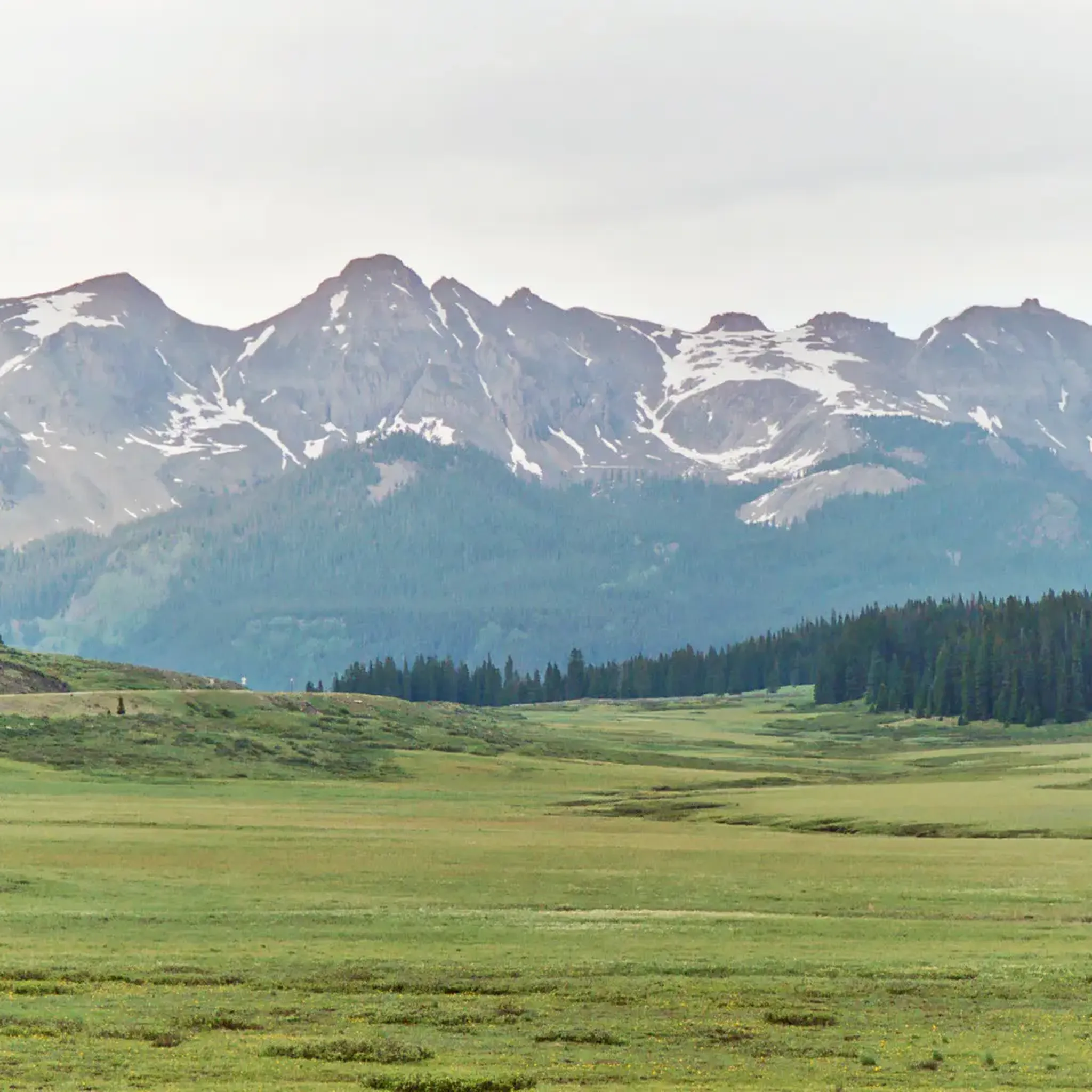
Many routes in San Miguel County provide spectacular views of the San Juan Mountains. The Mountain Village to Lizard Head Pass route, for example, leads through alpine landscapes with significant elevation gain, offering expansive mountain vistas. The Last Dollar Road route is also renowned for its panoramic views of the San Juan Mountains and high desert landscapes.
Are there any routes that follow a river or offer riparian views?
Yes, the San Miguel River Trail is an excellent option for those seeking river views. This route follows the San Miguel River, which is known for its pristine riparian habitat and flows through a narrow canyon with impressive red-rock sandstone walls soaring up to 2,000 feet.
Most popular routes in San Miguel County
Most popular attractions in San Miguel County

Get inspired with the komoot mobile app


Didn’t find what you were looking for?
Check out more Cycling routes throughout San Miguel County below and find the perfect route in your destination.
Explore more
Browse the best Cycling routes in other regions.
