4.8
(56)
1,811
hikers
81
hikes
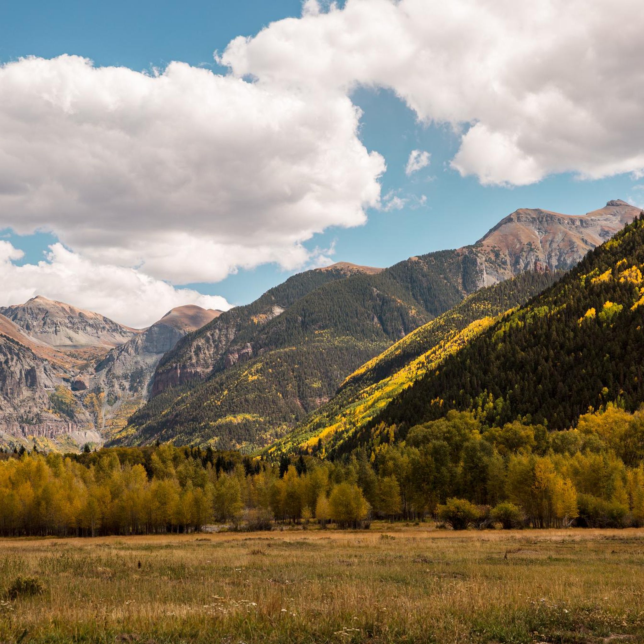
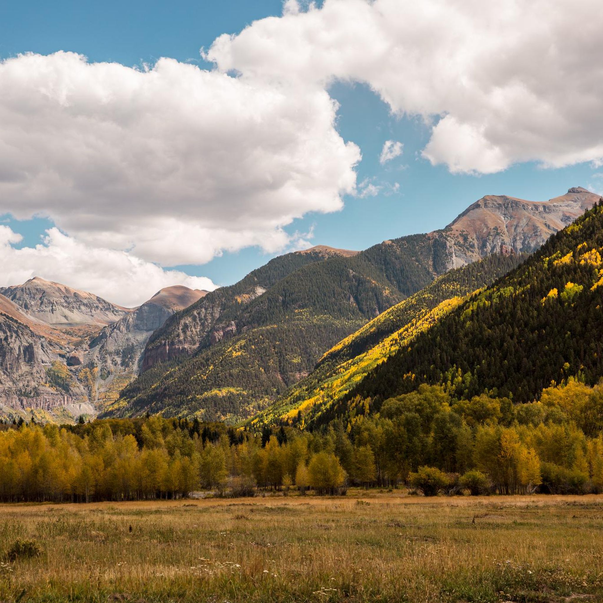
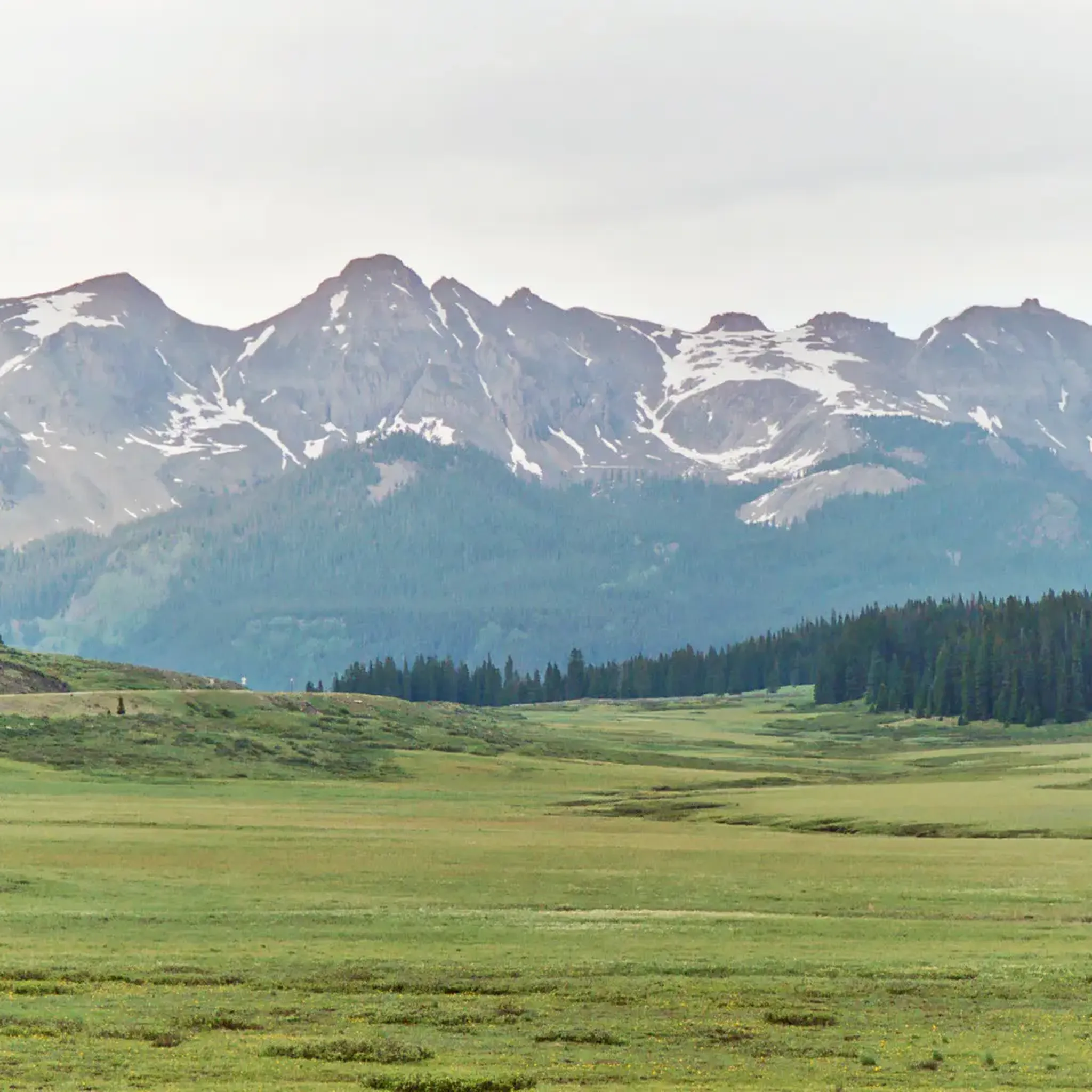
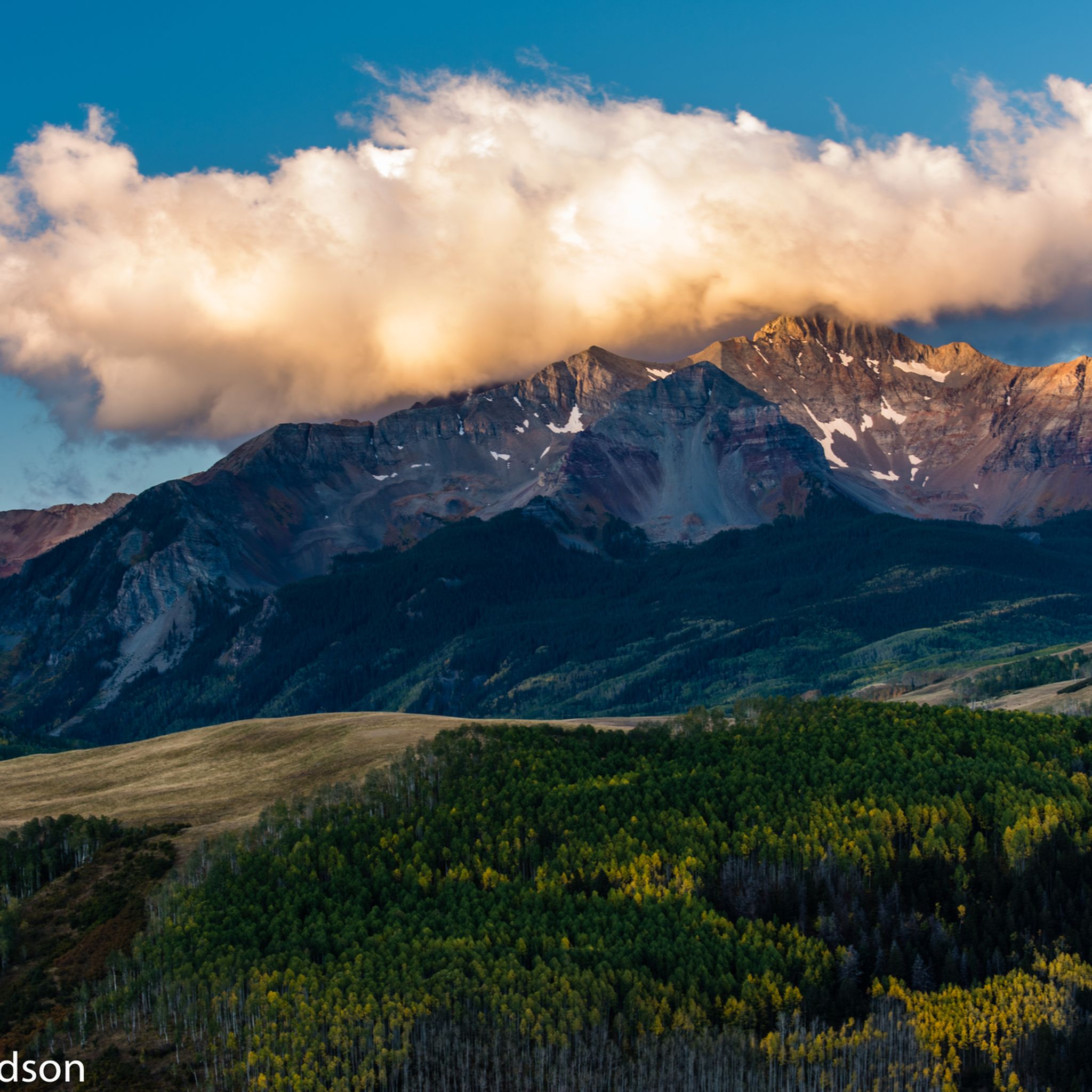
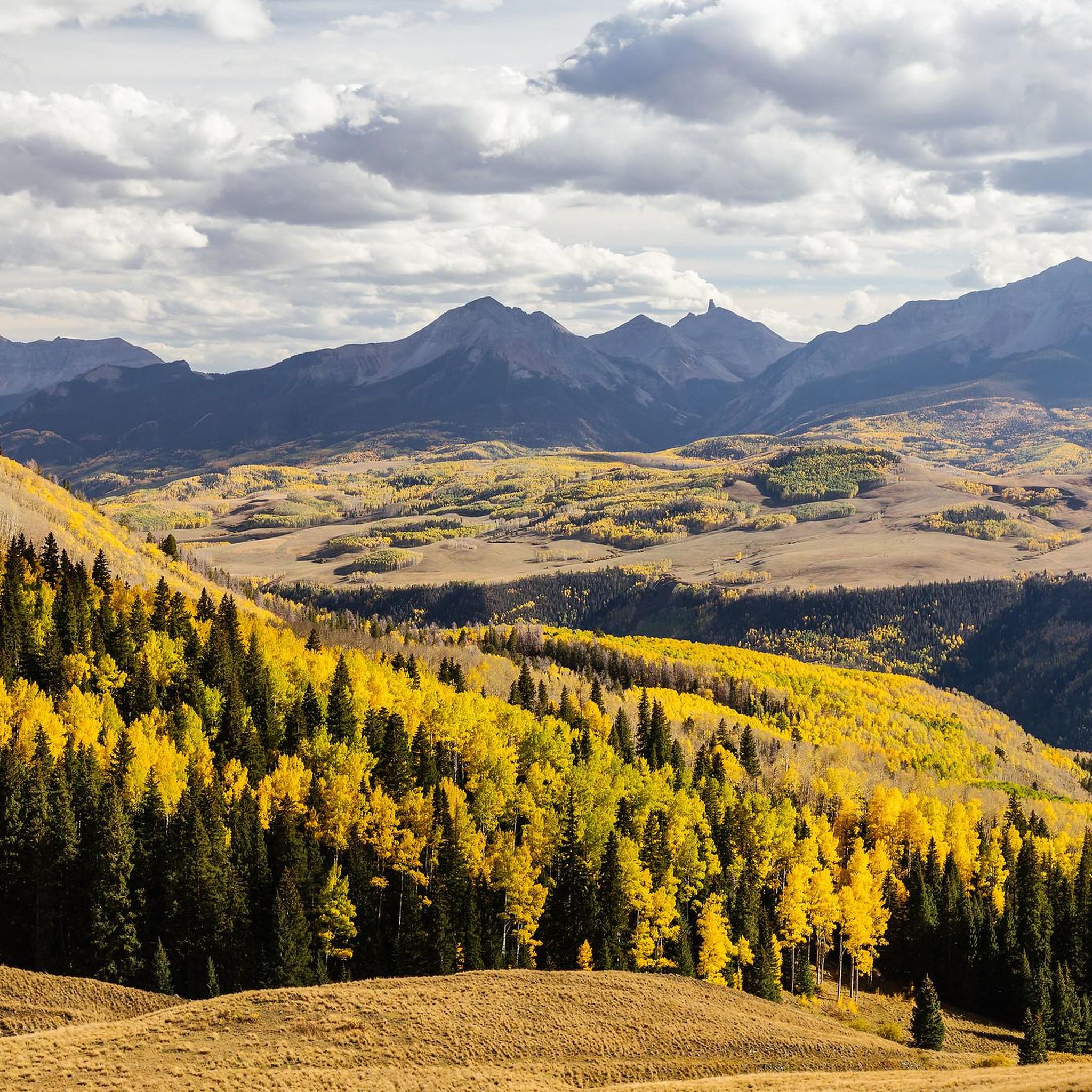
Hiking in San Miguel County offers diverse and rugged terrain within the San Juan Mountains and Uncompahgre National Forest. The region is characterized by prominent peaks, alpine lakes, and extensive trail networks. Hikers encounter a mix of spruce-fir forests, meadows, and the San Miguel River, which carves through parts of the county. This landscape provides varied environments for outdoor activities.
Last updated: June 24, 2026
4.5
(2)
87
hikers
4.28km
01:29
260m
250m
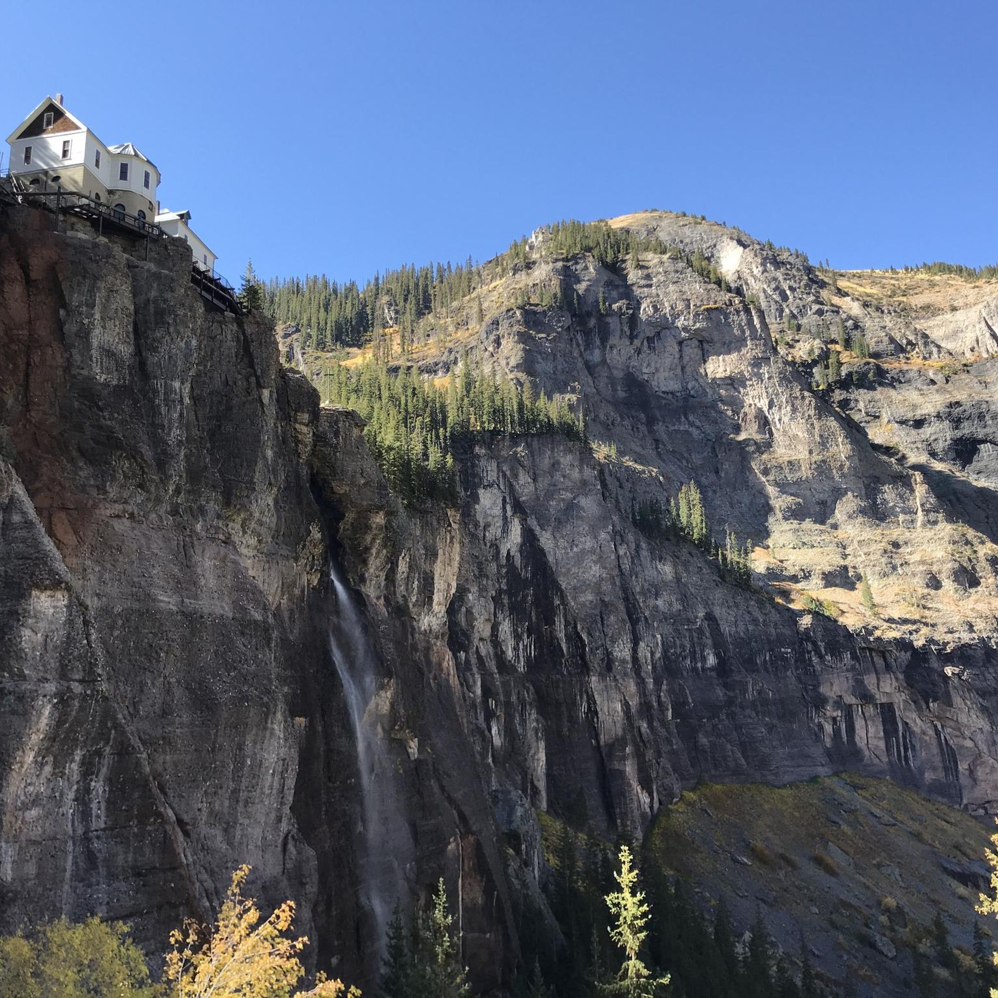
Embark on the Bridal Veil Falls, Black Bear Pass Loop, an easy 2.7-mile (4.3 km) hike that guides you through varied terrain, including some rocky sections. You will gain 853 feet (260 metres) in elevation, and the route typically takes about 1 hour and 29 minutes to complete. The highlight is undoubtedly Colorado's tallest free-falling waterfall, the 365-foot Bridal Veil Falls, which you can admire from a dedicated viewpoint and trailhead. This loop offers a rewarding journey through the natural beauty of Uncompahgre National Forest.
When planning your visit, aim for the period between May and October; October is particularly scenic with its vibrant fall colors. Be aware that parts of the Black Bear Pass road are shared with 4x4 vehicles, so stay alert to your surroundings. Due to the rocky sections and steady uphill climbs, wearing sturdy hiking shoes is essential for your comfort and safety on the trail.
Beyond the stunning waterfall, this route also features the historic 1907 Smuggler-Union Hydroelectric Power Plant, perched above the falls. This landmark provides panoramic views of the Telluride valley and the majestic San Juan Mountains. The combination of natural wonder and historical significance makes this loop a unique experience in the region, offering more than just a beautiful hike.
5.0
(1)
34
hikers
6.62km
02:31
460m
360m
Embark on the Bridal Veil Falls to Silver Lake Trail for a moderate hike that takes you from Colorado's tallest free-falling waterfall to a serene alpine lake. This 4.1 miles (6.6 km) route involves a significant elevation gain of 1517 feet (462 metres), offering a rewarding challenge as you ascend. You can expect to complete this journey in about 2 hours and 31 minutes, experiencing dramatic changes in scenery from canyon views to high-altitude beauty.
Access to the trailhead typically begins from the top of Bridal Veil Falls. Be prepared for a rocky path with loose rock, significant scrambles, and steep sections that demand careful footing. It is essential to carry enough water for this rigorous hike. The trail is best enjoyed during the warmer months when wildflowers bloom, adding vibrant color to the landscape.
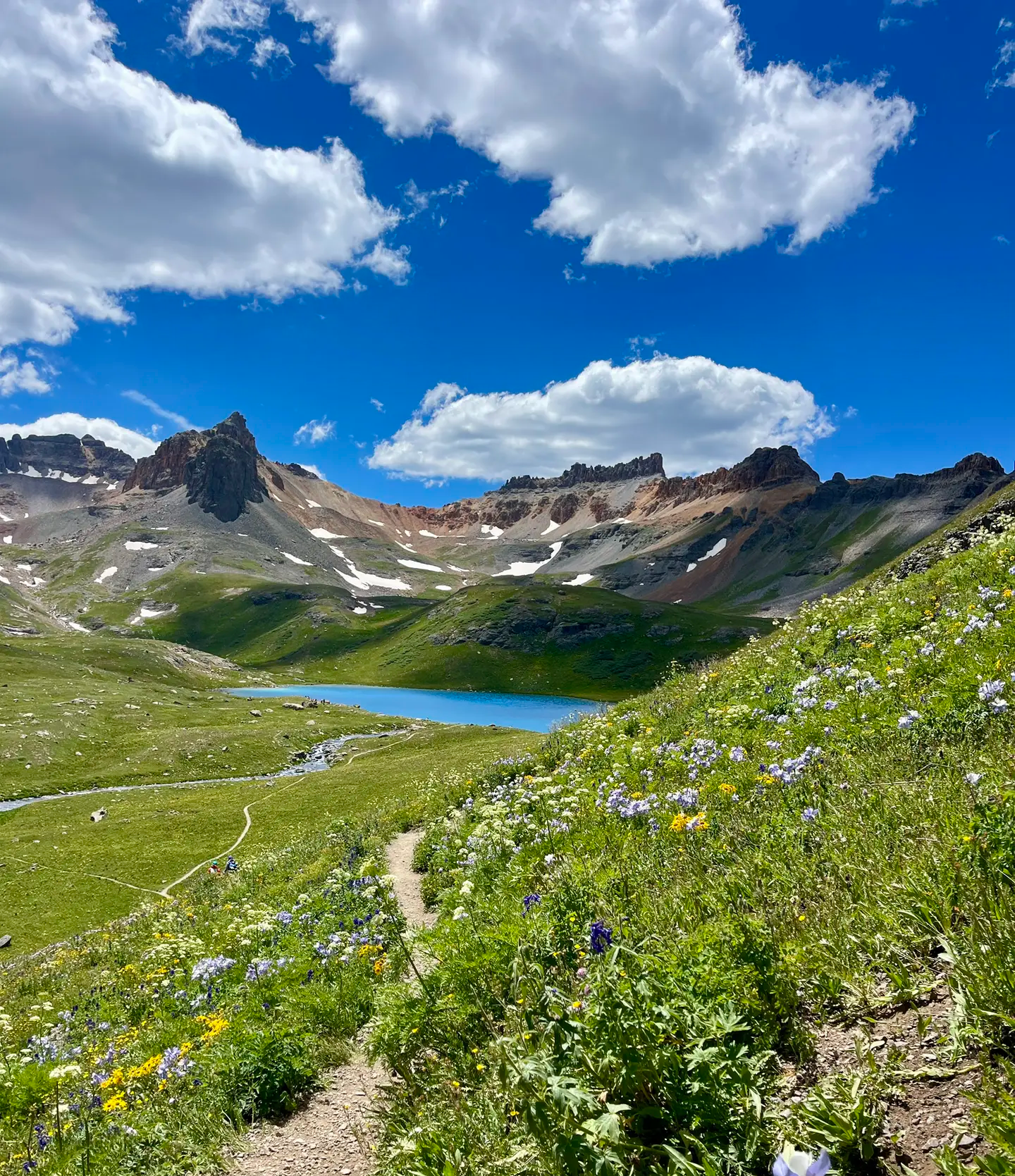
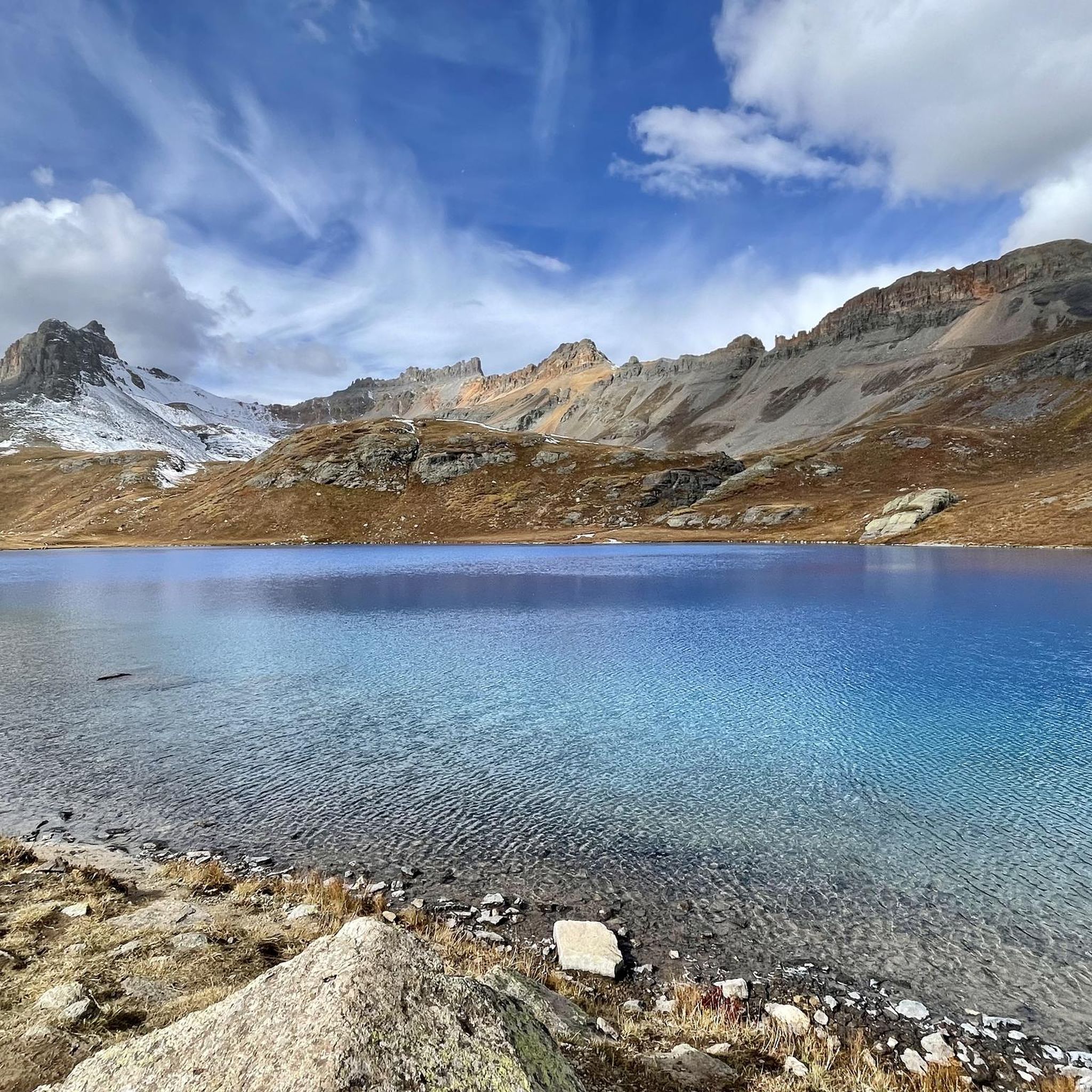
This trail provides a unique opportunity to witness the transition from the powerful cascade of Bridal Veil Falls to the tranquil, clear blue waters of Silver Lake. The lake is renowned for its pristine beauty, perfectly mirroring the surrounding mountain peaks. The route offers expansive views of the canyon and downtown Telluride, making it a notable experience in the Uncompahgre National Forest.

Sign up for free
13
hikers
3.10km
01:01
140m
140m
Embark on an easy hike along the Keystone Gorge Loop Trail, a 1.9-mile (3.1 km) route that takes you through picturesque aspen and fir forests. You will follow the San Miguel River as it flows alongside the path, enjoying views of pine trees and crossing two scenic bridges. This loop involves a gentle ascent of 457 feet (139 metres) and typically takes around 1 hour and 1 minute to complete, offering a refreshing outdoor experience.
When planning your visit, be aware that parking can be limited, especially during peak times, so arriving early is recommended to secure a spot. This trail is located within Uncompahgre National Forest, and due to its designation as a wildlife corridor, pets are not allowed on the route. Check local conditions before you go to ensure the best experience.
As you hike, keep an eye out for a series of waterfalls and unique perspectives of the river from old mine sites along the way. The trail also offers glimpses of distant peaks like Wilson Peak and Ilium, providing a sense of the broader mountain landscape. This route stands out for its combination of river scenery, forest immersion, and historical remnants.
7
hikers
3.59km
01:04
0m
320m
Embark on the Bear Creek Trail, an easy 2.2 miles (3.6 km) hiking route that offers a gentle escape into nature. You will experience minimal elevation gain, just 1 feet (0 metres), making it a very accessible walk for all skill levels. The trail winds through areas with aspen trees, providing a pleasant atmosphere as you hike. Expect wide, well-marked paths, though some sections may have uneven terrain with small rocks. As you progress, you will find panoramic views of the valley and Telluride, culminating in the scenic Bear Creek Falls at the trail's end. This route typically takes about 1 hours and 4 minutes to complete, perfect for a refreshing outing.
Planning your visit to the Bear Creek Trail is straightforward, as parking is generally available close to the trailhead, ensuring convenient access. This makes it easy to start your hike without hassle. The route is suitable for most of the year, though checking local conditions before you go is always a good idea. Since it is an easy and relatively short trail, you can enjoy it at various times of the day, perhaps as a morning stroll or an afternoon walk. No specific permits or fees are mentioned for this trail, allowing for spontaneous trips into the Uncompahgre National Forest. Consider visiting during the shoulder seasons for fewer crowds and pleasant weather.
Located within the vast Uncompahgre National Forest, the Bear Creek Trail offers more than just a pleasant walk; it provides a glimpse into the natural beauty of the region. Keep an eye out for the distinctive Stone Cairns scattered throughout the forest, which add a unique, almost artistic touch to your journey. This trail is a popular choice for those seeking a tranquil experience without demanding physical exertion, making it a local favorite. Its proximity to Telluride also means you can easily combine your hike with exploring the charming mountain town. The route serves as an excellent introduction to the area's diverse landscapes and outdoor opportunities.
5.0
(1)
10
hikers
11.7km
03:26
250m
410m
Embark on the Sneffels Traverse, a moderate 7.3-mile (11.7 km) hike that guides you through diverse sub-alpine meadows and dense pine and aspen forests. You will gain 824 feet (251 metres) over approximately 3 hours and 25 minutes, connecting two primitive backcountry huts. The route offers incredible views of high alpine peaks like North Pole Peak and Hayden Peak. As you near the Blue Lakes area, the iconic Mount Sneffels will dominate the horizon, creating a stunning backdrop for your journey. This trail provides a true backcountry experience, immersing you in the natural beauty of the Uncompahgre National Forest.
When planning your visit, be aware that while Komoot rates this trail as moderate, the route itself is considered expert due to significant elevation changes. You will encounter climbs up to 1,170 feet and descents up to 1,700 feet along the way. If you are coming from sea level, make sure to allow sufficient time to acclimatize to the high altitude, which exceeds 10,000 feet. Always check local conditions before heading out.
This unique traverse connects the North Pole and Blue Lakes primitive huts, offering a distinct opportunity for a lighter pack if you plan an overnight stay. These huts provide basic amenities such as bunk beds and stoves, enhancing your backcountry adventure. The trail is a segment within the vast Uncompahgre National Forest, known for its rugged beauty and extensive network of trails. It stands out for its connection between two remote shelters, making it a notable option for those seeking a multi-day hiking experience.
2
hikers
9.54km
04:53
870m
880m
Embark on the Liberty Bell and Sheridan Crosscut Loop, a moderate 5.9-mile (9.5 km) hike that takes you through steep sections with loose gravel, rocks, and roots. You will gain 2858 feet (871 metres) over an estimated 4 hours and 53 minutes, entering the scenic Liberty Bell Basin. The trail offers a challenging experience, especially when navigating its demanding terrain, and is particularly beautiful in the fall when aspen trees illuminate the landscape with vibrant colors.
To plan your visit, be aware that while rated moderate, this route requires a strenuous effort due to significant elevation changes. The Imogene Pass Trailhead provides convenient parking and serves as your starting point for this adventure. Always check local conditions before you head out, especially if you are hiking during the shoulder seasons, to ensure a safe and enjoyable trip.
This loop is nestled within the Uncompahgre National Forest, offering a rewarding experience in the heart of the Colorado mountains. The trail's reputation for steep sections and demanding terrain makes it a notable challenge for hikers seeking an engaging outing. Its abundance of aspen trees creates a spectacular display of color each autumn, making it a standout destination for fall foliage enthusiasts in the region.
3
hikers
4.15km
01:28
420m
0m
Embark on the Bridal Veil Falls via Black Bear Pass Road, a moderate 2.6-mile (4.1 km) hike that delivers dramatic alpine scenery. You will ascend 1375 feet (419 metres) in elevation, typically taking around 1 hour and 28 minutes to complete. The route offers panoramic views of Telluride and the San Juan mountains as you make your way towards the impressive Bridal Veil Falls.
When planning your visit, be aware that this route combines dedicated hiking paths with sections of the Black Bear Pass Road. This road is primarily used by extreme 4x4 vehicles, so you must share the narrow passage with traffic. Vehicles travel one-way descending towards the falls, so stay alert and exercise caution while hiking.
This trail leads you to Colorado's tallest free-falling waterfall, Bridal Veil Falls, which plunges 365 feet. You can also see the historic power plant perched above the falls, adding a unique historical element to the natural beauty. Look out for the Valley View highlight, providing expansive vistas of the surrounding canyon and landscape.
1
hikers
9.93km
03:25
500m
550m
Embark on the Eider Creek, Deep Creek, and Mill Creek Waterline Loop, a moderate hiking route that winds through the Uncompahgre National Forest. You will experience diverse terrain, from rocky paths to smooth singletrack, as you ascend through beautiful aspen groves. The 6.2 miles (9.9 km) journey involves a significant 1633 feet (498 metres) of elevation gain, offering rewarding views down to the town of Telluride and the San Miguel River Valley, and takes approximately 3 hours and 24 minutes to complete.
To begin your adventure, you can access the trailheads from either Mill Creek Road (FR 637) or North Aspen Street in Telluride. It is important to note that Mill Creek Road is described as a narrow and steep forest road, so plan your approach carefully. Consider starting your hike earlier in the day to allow ample time and avoid potential afternoon weather changes.
This loop is particularly notable for its vibrant display of wildflowers, such as columbines and Indian paintbrush, which add splashes of color along the path. As you hike, keep an eye out for glimpses of Coonskin Mountain through the forest canopy, providing a scenic backdrop to your journey. The varied landscape and consistent elevation challenge make this a popular choice for hikers seeking a fulfilling experience in the region.
1
hikers
13.0km
05:00
810m
420m
The Lewis Lake and Blue Lake Trail offers a rewarding moderate hike, covering 8.1 miles (13.0 km) with a significant elevation gain of 2646 feet (806 metres). You can expect to spend around 4 hours and 59 minutes exploring its varied terrain. As you hike, you will pass through old mining roads before reaching rugged alpine landscapes, with the stunning Lewis Lake and Blue Lake nestled in dramatic glacial cirques.
Planning your visit requires attention to detail, as this route is set in a high-elevation, remote alpine basin. Always ensure you have appropriate gear for rapidly changing weather conditions at altitude. Parking is generally available near the trailhead, but arriving early during peak season is a good strategy to secure a spot.
Beyond the natural beauty of the alpine lakes, the trail also provides a glimpse into the region's past. Keep an eye out for historic mining remains, including the Lewis Mill, which are significant points of interest along the way. This blend of natural splendor and historical context makes the route a unique experience in the Uncompahgre National Forest.
1
hikers
4.41km
01:41
500m
0m
Embark on the See Forever Trail for a moderate hike that truly lives up to its name. You will gain 1630 feet (497 metres) over 2.7 miles (4.4 km), taking about 1 hour and 41 minutes to complete. As you climb, you will discover expansive views stretching across the Telluride Valley and into Bear Creek Canyon. Look out for the dramatic peaks of the Lizard Head Wilderness unfolding before you. The trail offers a rewarding experience with ever-changing perspectives of the surrounding mountains.
Accessing the route is straightforward; you can reach the trailhead easily by taking the free Telluride gondola. This will drop you off at the St. Sophia station, a common starting point for your adventure. Keep in mind that the high altitude, beginning around 10,540 feet, can make this moderate hike feel more demanding. Allow yourself time to acclimatize before you start your journey.
This trail is particularly notable for its sweeping vistas, especially from higher elevations near the Top of Lift 14. From here, you can spot the San Miguel Mountains and the impressive Wilson Group of 14ers, including Lizard Head and Mount Wilson. If you visit in the autumn months, you will also be treated to brilliant fall colors across the hillsides, adding another layer of beauty to your hike.
Get access to more routes and recommendations from other explorers.
Sign up for free
Already have an account?
Our route recommendations are based on thousands of hikes, rides, and runs completed by other people on komoot.
Start today with a free account
Your next adventure awaits.
Login or Signup
A meeting point where the forested Bear Creek Trail connects with the steeper Ballard climb. It’s a good spot to pause, refill energy, and decide whether to continue deeper into the canyon or push higher toward alpine views.
0
0
That's the purpose of the hike. A little bit of freshness it can't hurt.
1
0
Shortly before you reach Bear Creek Waterfall, you have wonderful views. What to say? just enjoy.
1
0
A few more switchbacks to climb, and you have this magnificent view of this incredible valley that is offered to you.
0
0
From the top of these 365 feet, the spectacular Bridal Veil Falls are the highest of the Colorado waterfalls. You should know that this is also the name of one of the Niagara Falls.
0
0
The stunning falls rush high above the mountain town of Telluride. At the top of the box canyon you can see a solitary building: the power plant that produces hydroelectricity. The trail and road up to Bridalveil Falls can still be snow covered by the end of June or even July if it is a high snow year. From the parking lot below you can take a short walk to this view of the waterfall, including the impressive switchbacks that wind up the mountain.
3
1
The trail and road up to Bridal Veil Falls might still be covered with snow into late June or even July, if it is a high snow year. From the parking lot, you can take a little walk to this view of the waterfall including the impressive switchbacks winding up the mountain.
4
0
San Miguel County offers a wide range of hiking experiences, with over 50 routes documented on komoot. These trails cater to various skill levels, from easy strolls to challenging multi-hour ascents through high-altitude terrain.
For an easy and family-friendly experience, consider the Telluride River Trail. This route is relatively flat and offers pleasant views along the San Miguel River, making it suitable for all ages. The Gallinas Nature Trail in New Mexico is another easier option, taking about 43 minutes to complete its 3.4 km length.
Yes, San Miguel County is home to stunning waterfalls. The Bear Creek Falls — Telluride trail is a popular moderate route leading directly to the scenic Bear Creek Falls. You can also experience the iconic Bridal Veil Falls via the Bridal Veil Falls View — Telluride trail. For a closer look at the falls, the View of Bridal Veil Falls and the power plant is a notable highlight.
Several trails lead to picturesque alpine lakes. The Hope Lake Trail from FSR 627 takes you through wildflower meadows to the beautiful Hope Lake. Another excellent option is the Bridal Veil Trail to Blue Lake. In New Mexico, trails like Pecos Baldy Lake, Jack's Creek Trail, and Beatty's Trail also provide access to scenic alpine lakes.
Absolutely. For experienced hikers seeking a challenge, the Sneffels Highline Trail loop — Telluride is a difficult route with significant elevation gain. Another strenuous option is the Rock of Ages Trail to Wilson Peak, leading to the highest point in San Miguel Mountains. The Hermit's Peak Trail in New Mexico is also a challenging 7.8-mile trail with over 2,700 feet of elevation gain.
The best time to hike in San Miguel County is generally from late spring through early fall (May to October). July is particularly beautiful for wildflowers in the Colorado section. While some trails like Bridal Veil Falls can be enjoyed year-round, winter hiking often requires snowshoes or spikes due to snow and ice, especially at higher elevations.
Yes, San Miguel County offers several excellent loop trails. The Jud Wiebe Memorial Trail — Telluride is a popular moderate loop that provides fantastic views of Telluride and the surrounding mountains. For a more challenging circular route, consider the Sneffels Highline Trail loop — Telluride.
San Miguel County's trails showcase diverse natural beauty. You'll encounter dramatic mountainous landscapes, high-elevation peaks like Wilson Peak, spruce-fir forests, and meadows abundant with wildflowers. Notable landmarks and viewpoints include the View of Bridal Veil Falls and the power plant, Trout Lake, and the Coonskin Mountain summit. The San Juan Mountains Viewpoint offers panoramic vistas.
The trails in San Miguel County are highly regarded by the komoot community, boasting an average rating of 4.9 stars from over 40 reviews. Hikers frequently praise the stunning mountain scenery, the variety of trails for different skill levels, and the pristine natural environment, especially the alpine lakes and waterfalls.
Yes, for those aiming for summits, the Rock of Ages Trail to Wilson Peak offers a challenging ascent to Wilson Peak, the highest point in the San Miguel Mountains. Another demanding route is Bridal Veil Falls to Ajax and Telluride Peaks, which provides access to multiple high points.
Hiking in San Miguel County offers a wide spectrum of difficulty. While there are 13 easy routes, the majority of trails are moderate (27 routes) or difficult (17 routes), reflecting the region's rugged, high-elevation terrain. Hikers should be prepared for significant elevation changes and varying trail conditions, especially on longer routes.


Check out more Hikes throughout San Miguel County below and find the perfect route in your destination.
Browse the best Hikes in other regions.