The best cycling routes around La Campiña
4.3
(234)
2,741
riders
338
rides
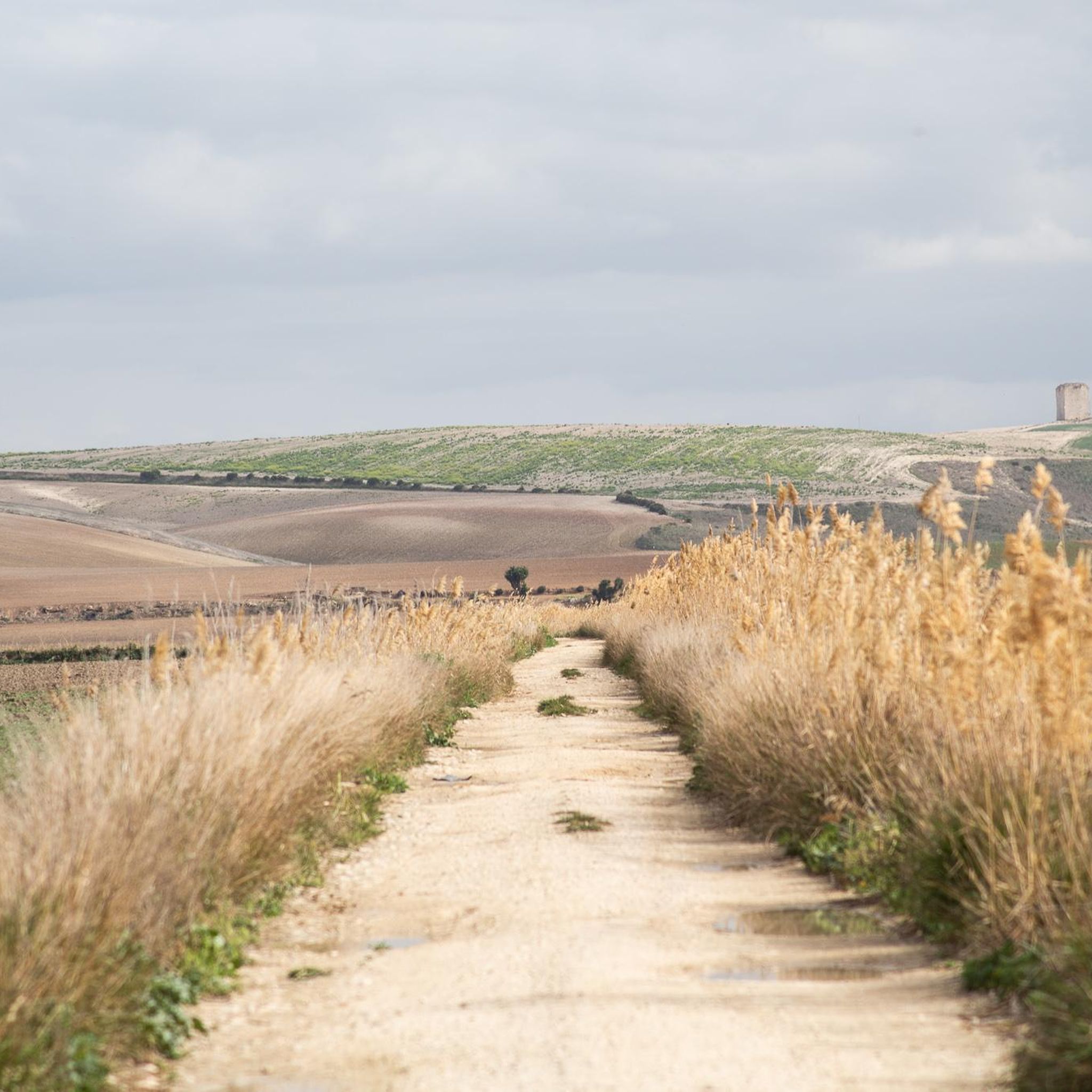
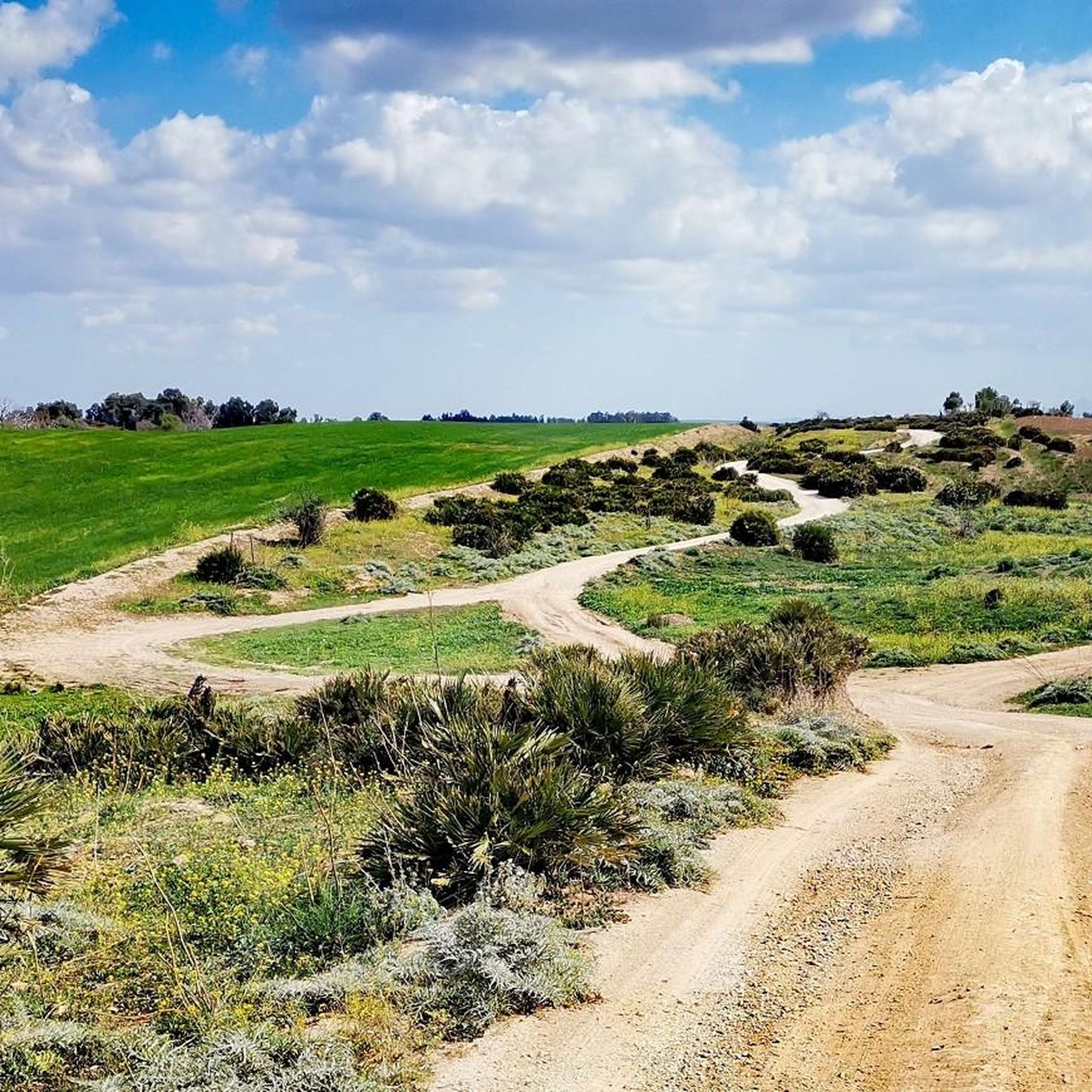
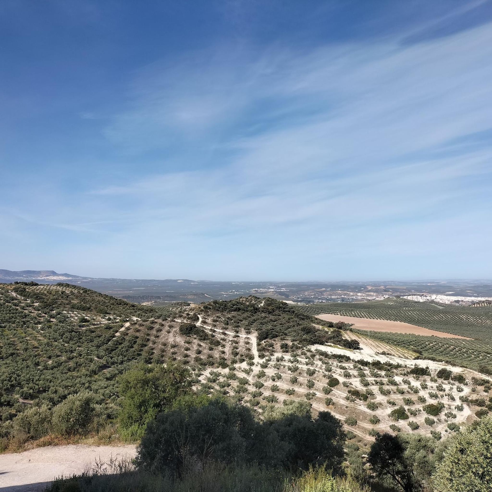
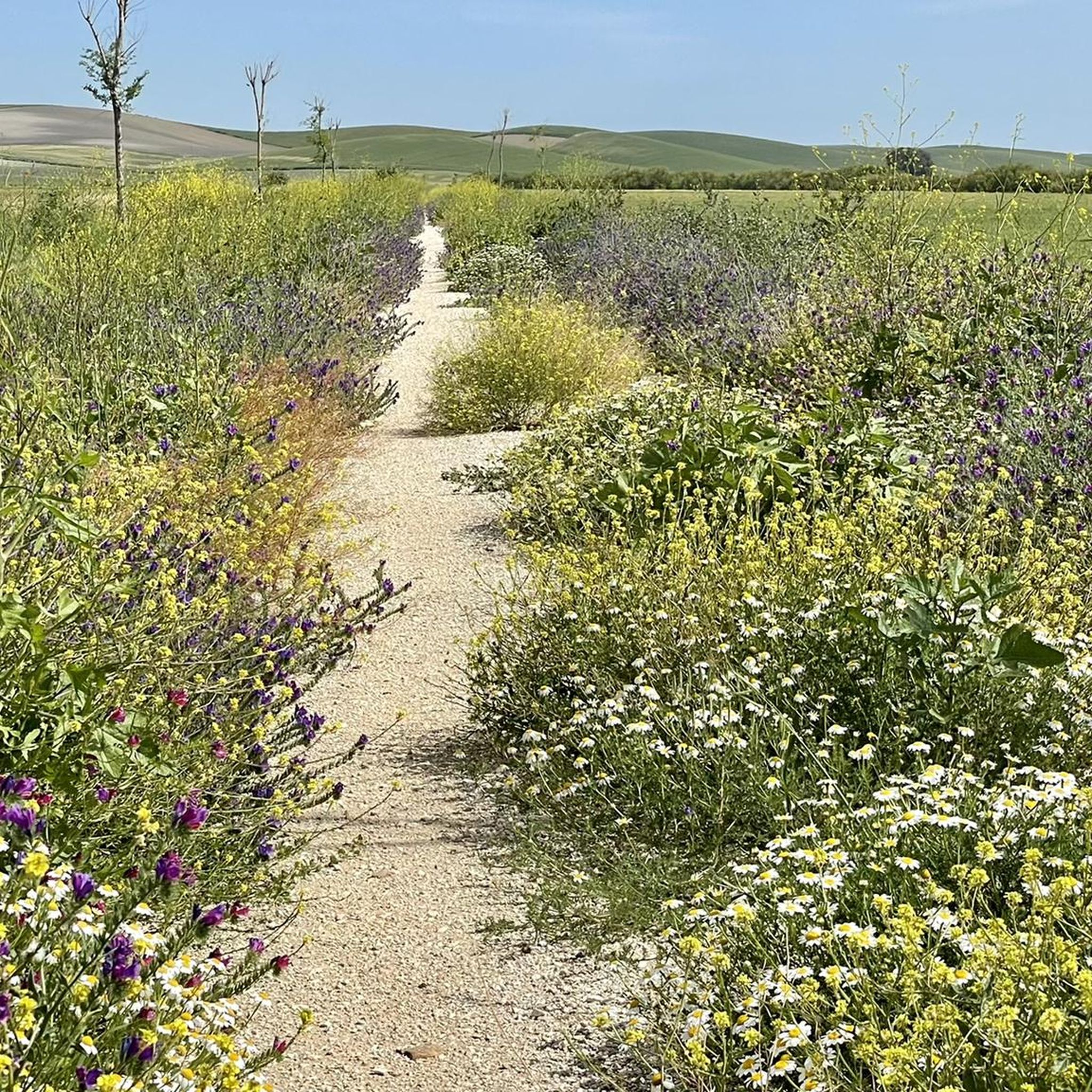
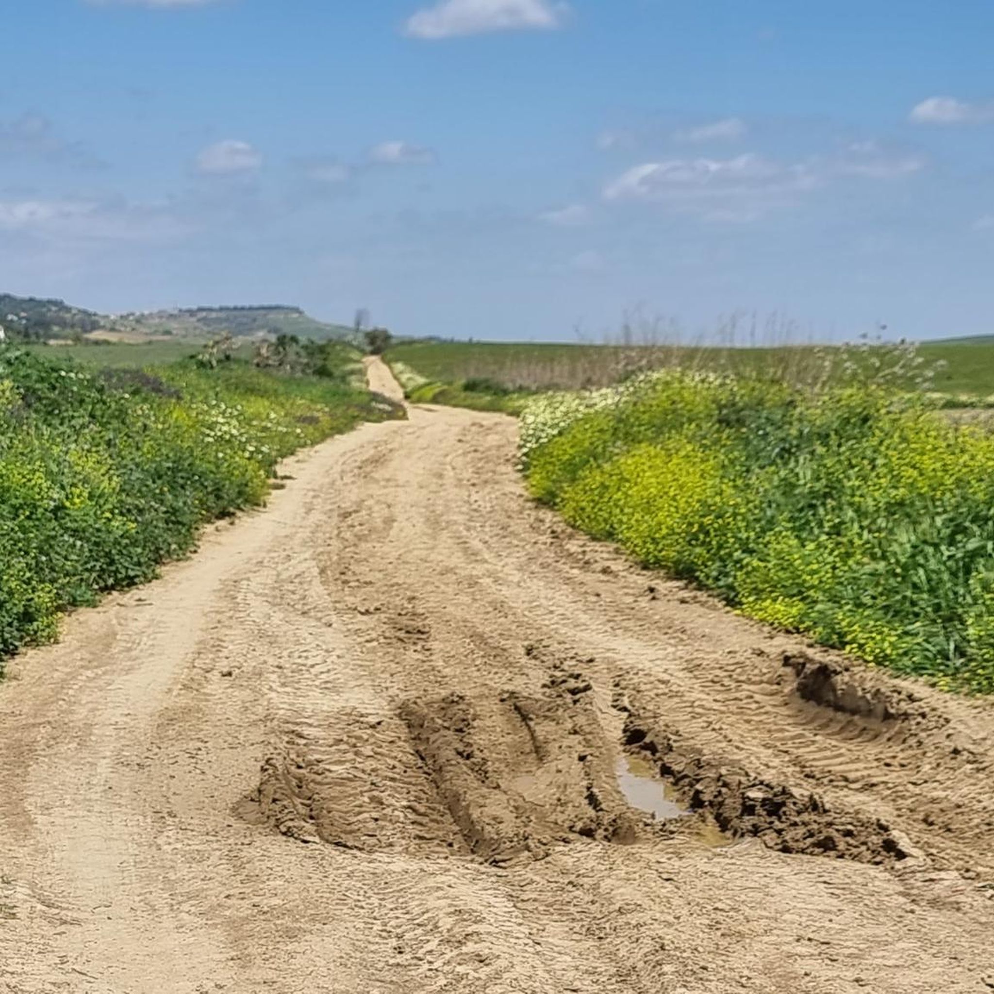
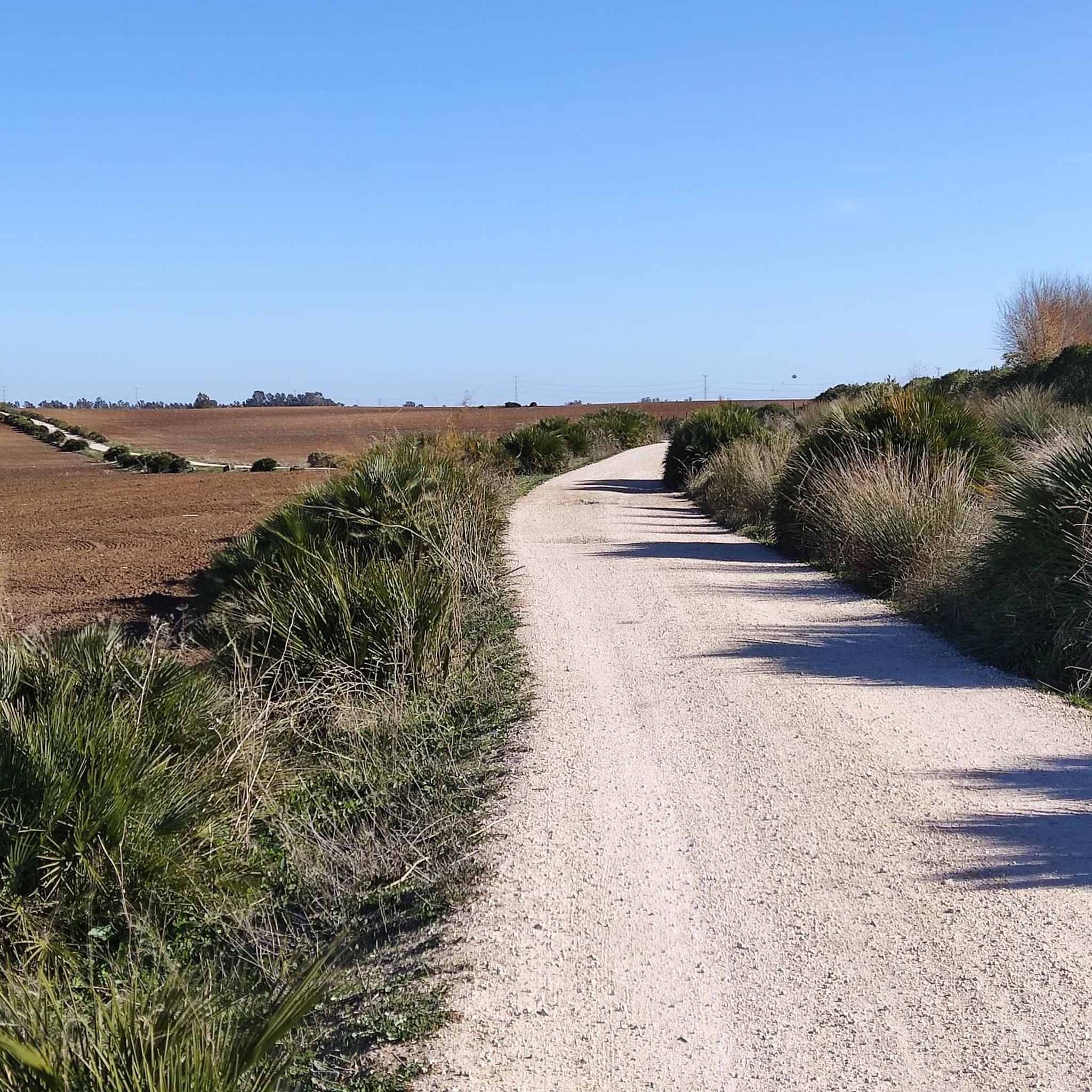
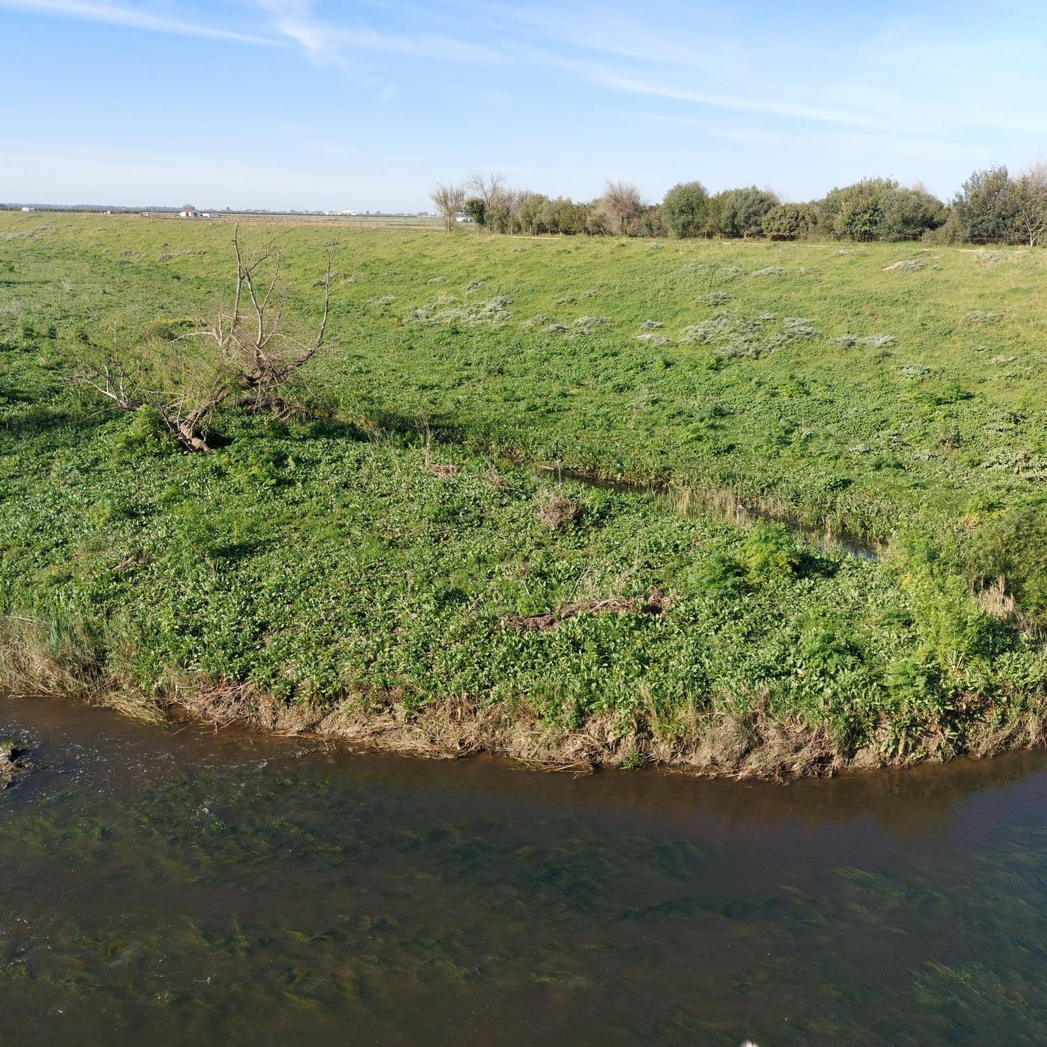
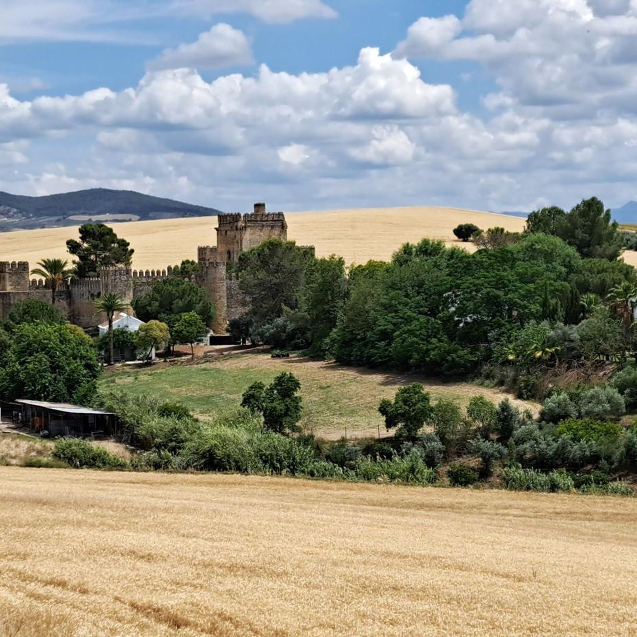
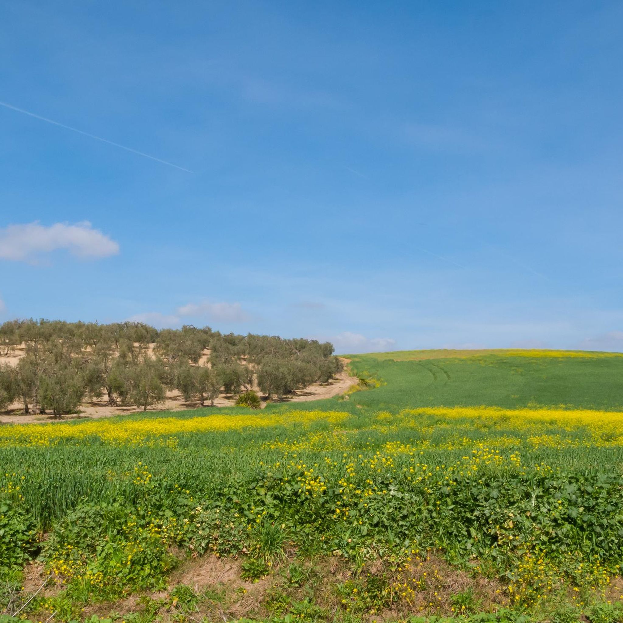
Touring cycling around La Campiña offers routes through a landscape characterized by gentle, rolling hills and fertile agricultural lands. The region features extensive fields of olive groves, sunflowers, and cereals, providing a varied visual experience. River valleys, such as those of the Guadalquivir and Guadajoz, contribute to diverse ecosystems with Mediterranean vegetation. Additionally, converted railway lines, known as "Greenways," provide accessible paths for cycling through the countryside.
Best touring cycling routes around La Campiña
- The most popular touring cycling route…
Last updated: July 7, 2026
3.5
(2)
18
riders
59.9km
04:20
430m
430m
Moderate bike ride. Good fitness required. Mostly paved surfaces. Suitable for all skill levels.
4.9
(16)
17
riders
Moderate bike ride. Good fitness required. Mostly paved surfaces. Suitable for all skill levels.

Sign up for free
4.0
(2)
15
riders
Moderate bike ride. Good fitness required. Mostly paved surfaces. Suitable for all skill levels.
2
riders
51.6km
03:44
220m
220m
Moderate bike ride. Good fitness required. Mostly paved surfaces. Suitable for all skill levels.
59.0km
04:10
210m
210m
Explore history and nature on the moderate 36.6-mile Vía Augusta and Guadaíra Greenway Loop from Utrera, perfect for touring cyclists.
62.5km
04:58
320m
320m
Cycle the moderate 38.8-mile La Campiña Greenway II and Fuentes de Andalucía Loop, exploring Andalusian plains and historical sites.
4.8
(24)
134
riders
44.1km
03:01
560m
560m
Hard bike ride. Very good fitness required. Mostly paved surfaces. Suitable for all skill levels.
4.7
(18)
69
riders
Moderate bike ride. Good fitness required. Mostly paved surfaces. Suitable for all skill levels.
4.3
(3)
59
riders
Moderate bike ride. Good fitness required. Mostly paved surfaces. Suitable for all skill levels.
4.2
(5)
34
riders
58.3km
04:49
360m
360m
Moderate bike ride. Good fitness required. Mostly paved surfaces. Suitable for all skill levels.
Get access to more routes and recommendations from other explorers.
Sign up for free
Already have an account?
Our route recommendations are based on thousands of hikes, rides, and runs completed by other people on komoot.
Start today with a free account
Your next adventure awaits.
Login or Signup
Other adventures around La Campiña


Tips from the Community

It is an old mill that also served as a defensive structure and refuge for the surrounding village. Its construction dates back to around the 12th or 13th century. Initially it was under Muslim rule, but later served under Christian rule.
1
0

Declared a Historic-Artistic Monument in 1906, even before the Giralda of Seville. Today it houses the Tourist Information Center and is used for cultural events and guided tours.
8
0
The Alcázar of the Seville Gate is one of Carmona's most iconic monuments and an exceptional example of defensive architecture with over 2,500 years of history. Remains dating back to the 9th century BC have been found, although the current structure began to take shape under the Carthaginians, who built a bastion atop an earlier tower to withstand Roman attacks.
13
0
The Cordoba Gate is one of Carmona's most emblematic monuments and a living testament to its ancient history. It formed part of the walled enclosure and the route of the Via Augusta, connecting Carmona with Cordoba. Its function was more propagandistic than defensive, conceived as a triumphal arch to symbolize the power and prosperity of the Roman Empire.
3
0
Carmona has several viewpoints, but the most well-known is the Mirador de la Asomada del Ribero, located at the entrance to the town, and also the Mirador del Parador, next to the Alcázar of King Pedro. Both offer spectacular views.
13
0


The history of Carmona begins at one of the oldest urban sites in Europe, with nearly five thousand years of continuous occupation on a plateau rising above the vega (plain) of the River Corbones in Andalusia, Spain. The city of Carmona lies thirty kilometres from Seville on the highest elevation of the sloping terrain of the Los Alcores escarpment, about 250 metres above sea level. Since the first appearance of complex agricultural societies in the Guadalquivir valley at the beginning of the Neolithic period, various civilizations have had an historical presence in the region. A peak civilization dominated during the Roman period, followed by a gradual decline until the middle ages.
0
1

Just a few meters from the birdwatching observatory are the Visitor Reception Center and the Zaframagón Cantina, an ideal place to familiarize yourself with the Vía Verde's surroundings and a convenient spot to take a break and recharge. Managed by the Sierra Greenway Astronomical Association, the Vía Verde de la Sierra offers tours for astronomical observation and photography, as well as hiking, cycling, and birdwatching. Enjoy the opportunity to have a snack and rest.
7
0
Frequently Asked Questions
How many touring cycling routes are available in La Campiña?
La Campiña offers a wide selection of touring cycling routes, with over 330 routes available on komoot. These routes cater to various preferences, ranging from easy to difficult, ensuring there's something for every cyclist.
What kind of terrain can I expect when touring cycling in La Campiña?
The region is characterized by gentle, rolling hills and fertile agricultural lands, featuring extensive fields of olive groves, sunflowers, and cereals. You'll also find river valleys, such as those of the Guadalquivir and Guadajoz, with diverse Mediterranean vegetation. Some routes incorporate "Greenways" on former railway lines, offering mostly flat and accessible paths, while others include unpaved segments and significant elevation gains.
Are there touring cycling routes suitable for beginners or families in La Campiña?
Yes, La Campiña has routes ideal for beginners and families. The "Greenways" or converted railway lines are particularly suitable due to their generally flat and accessible nature. For example, the Fuentes de Andalucia from Marchena - circular via the Via Verde de la Campina is a moderate 26.4-mile path that utilizes one of these greenways, connecting towns through agricultural scenery.
What are some more challenging touring cycling routes in La Campiña?
For cyclists seeking a challenge, La Campiña offers routes with more significant elevation gains. An example of a difficult route is the Viaducto de Los Azares – View of Rocky Mountain Peak loop from Puerto Serrano, which covers 27.4 miles (44.1 km) with over 550 meters of ascent, providing a more demanding experience.
Are there any circular touring cycling routes in La Campiña?
Many touring cycling routes in La Campiña are designed as circular loops, allowing you to start and end in the same location. Examples include the popular Via Verde de los Alcores – circular from Alcala de Guadaira to Carmona and the Embalse de la Torre del Águila from Utrera – circular by el Palmar de Troya.
What historical sites or cultural attractions can I explore along the touring cycling routes?
La Campiña's routes often connect charming towns and villages, offering opportunities to explore local culture and history. You might encounter historical sites like the Alcázar of the Gate of Seville or the Puerta de Córdoba. Towns like Écija, Marchena, and Carmona also offer rich historical contexts and architectural beauty to discover.
What is the best time of year to go touring cycling in La Campiña?
The spring months are particularly vibrant, as the agricultural fields burst with color. Autumn also offers pleasant temperatures and beautiful scenery. While summer can be hot, early mornings or late afternoons are still viable. Winters are generally mild, making cycling possible year-round, though some routes might be affected by rain.
What do other cyclists say about touring cycling in La Campiña?
The touring cycling routes in La Campiña are highly rated by the komoot community, with an average score of 4.4 stars from over 200 reviews. Cyclists often praise the varied visual experience provided by the extensive agricultural fields, the accessibility of the "Greenways," and the charming towns encountered along the way.
Can I find scenic viewpoints along the touring cycling routes in La Campiña?
Yes, the region is known for its picturesque landscapes. The rolling hills and agricultural vistas create numerous opportunities for scenic views. The "Mirador La Campiña" is specifically mentioned as offering breathtaking panoramic views, providing ideal spots for rest and appreciation of the natural surroundings.
How long do touring cycling routes typically take in La Campiña?
Route durations vary significantly based on distance and difficulty. For instance, a moderate 26.4-mile (42.5 km) route like Fuentes de Andalucia from Marchena - circular via the Via Verde de la Campina typically takes around 3 hours. Longer routes, such as the 37.2-mile (59.9 km) Via Verde de los Alcores – circular from Alcala de Guadaira to Carmona, can take approximately 4 hours and 20 minutes.
Are there opportunities to see wildlife or natural features while cycling?
Absolutely. The river valleys and areas around reservoirs foster diverse ecosystems. While cycling through Mediterranean vegetation like holm oaks and mastic trees, you might spot wildlife such as foxes, Egyptian mongooses, rabbits, partridges, and various steppe birds. The changing agricultural landscapes also offer a dynamic natural spectacle throughout the seasons.
What towns or villages might I pass through on a touring cycling route?
Many routes connect charming towns and villages, allowing you to experience local culture. Depending on your chosen route, you might pass through towns like Écija, El Rubio, Marinaleda, Morón de la Frontera, Osuna, Marchena, Utrera, or Alcalá de Guadaíra. These towns often provide opportunities for rest, refreshments, and exploring local history.
How can I access the touring cycling routes, particularly regarding parking or public transport?
Access points for routes often include towns and villages, where parking facilities may be available. For routes utilizing "Greenways" or former railway lines, specific access points are usually well-marked. While public transport options vary, many towns in La Campiña are accessible by regional buses or trains, allowing for flexible starting points for your cycling adventure.
Most popular routes around La Campiña
Most popular attractions around La Campiña

Get inspired with the komoot mobile app


Didn’t find what you were looking for?
Check out more Cycling routes throughout La Campiña below and find the perfect route in your destination.
Explore more
Browse the best Cycling routes in other regions.
