The best walks and hikes around Sierra Rioja Alta
4.5
(857)
6,195
hikers
149
hikes
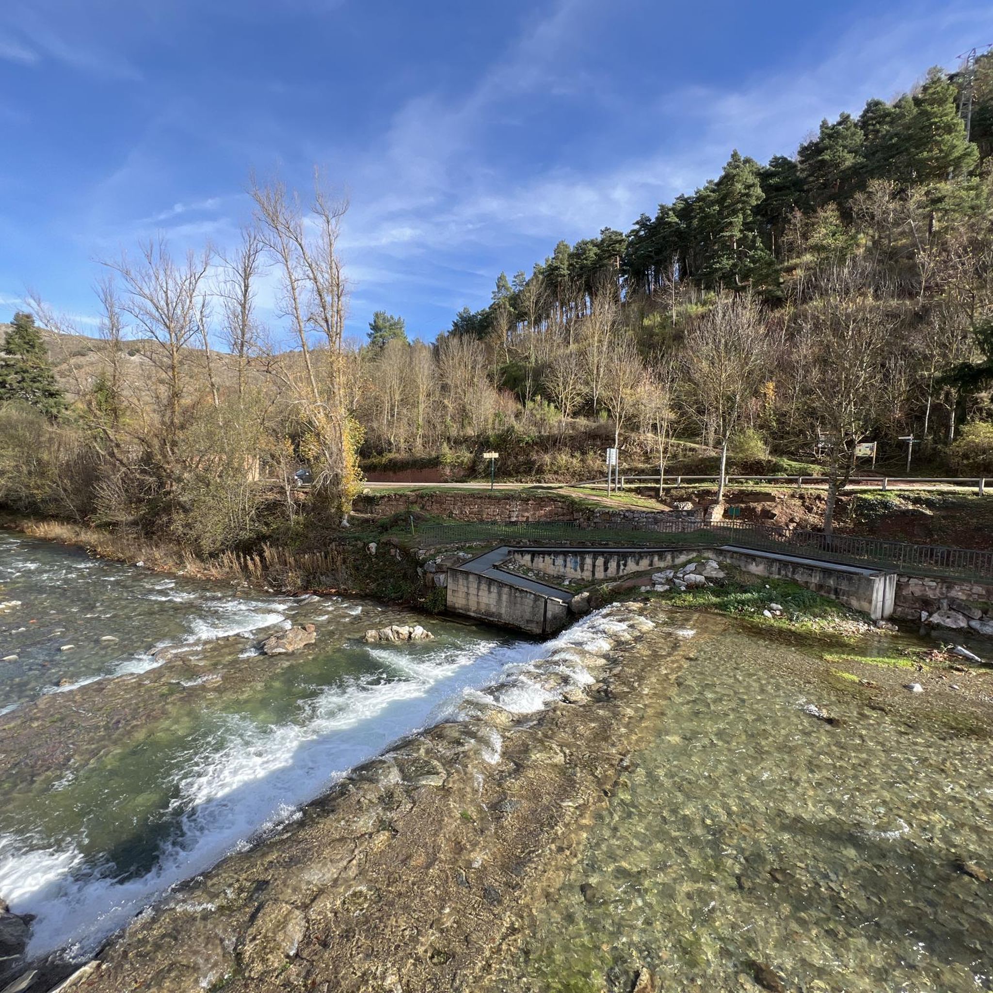
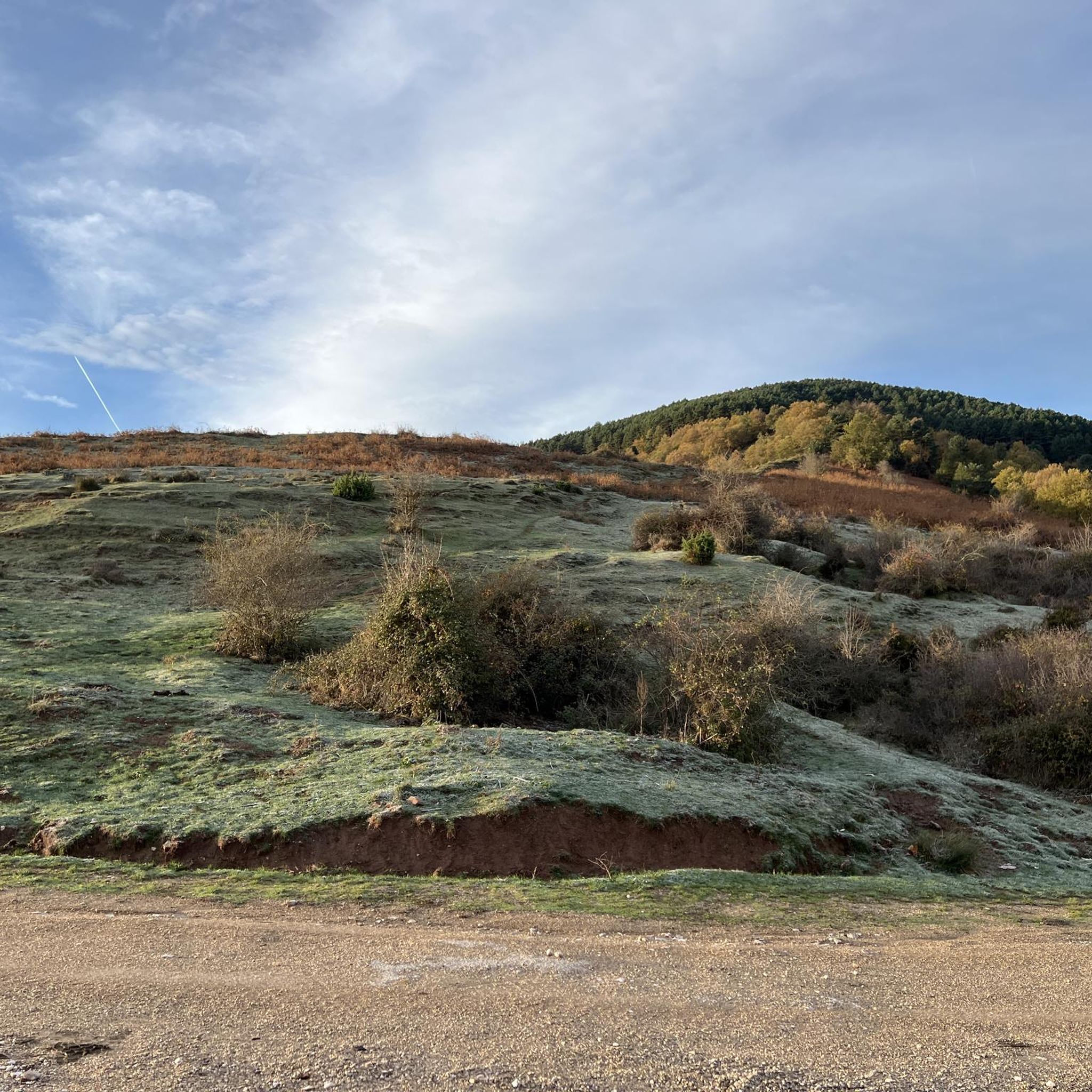
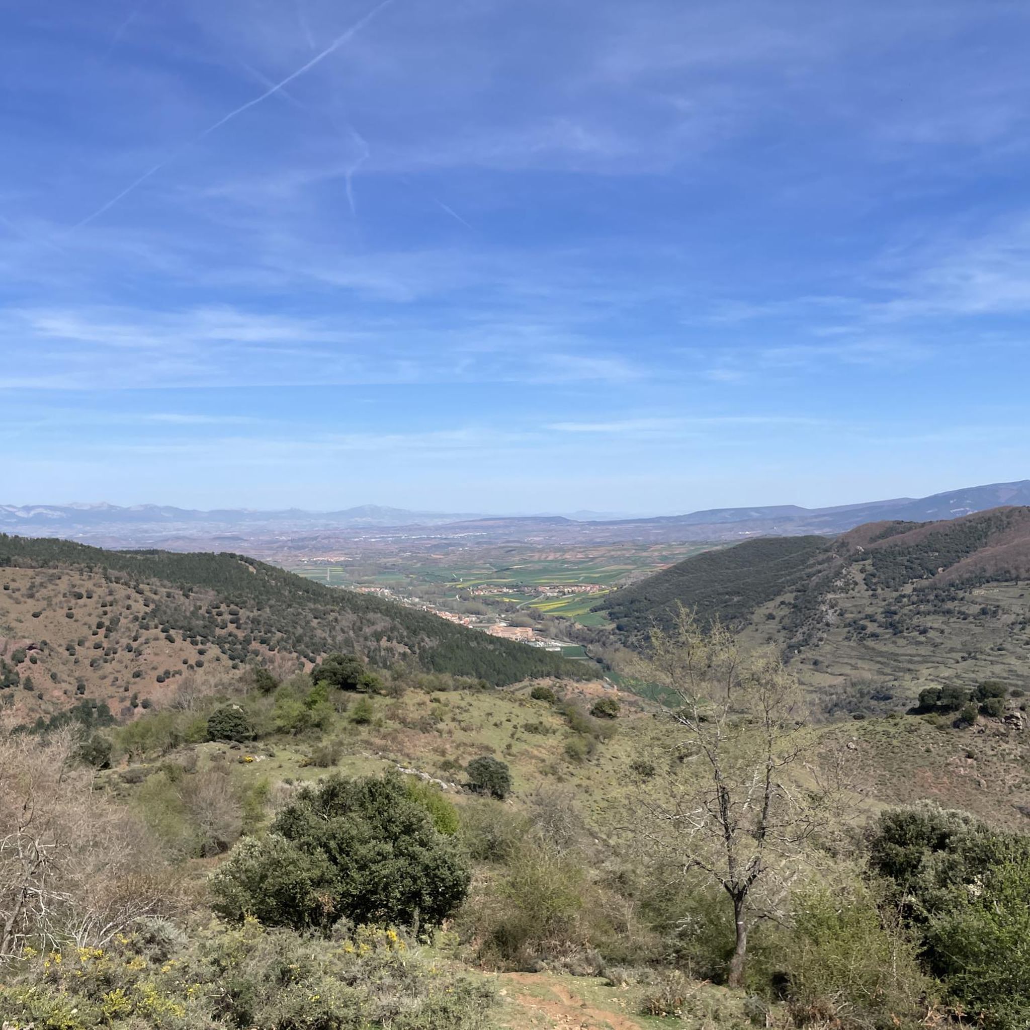
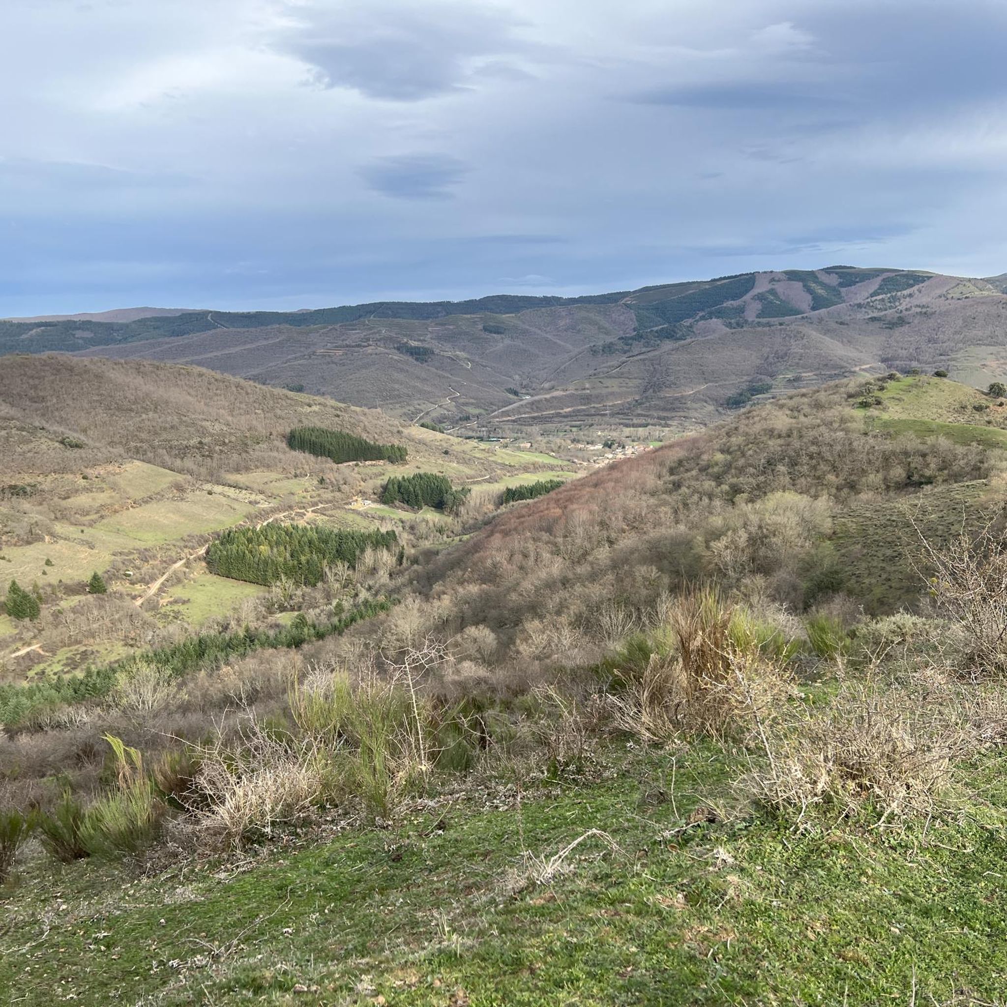
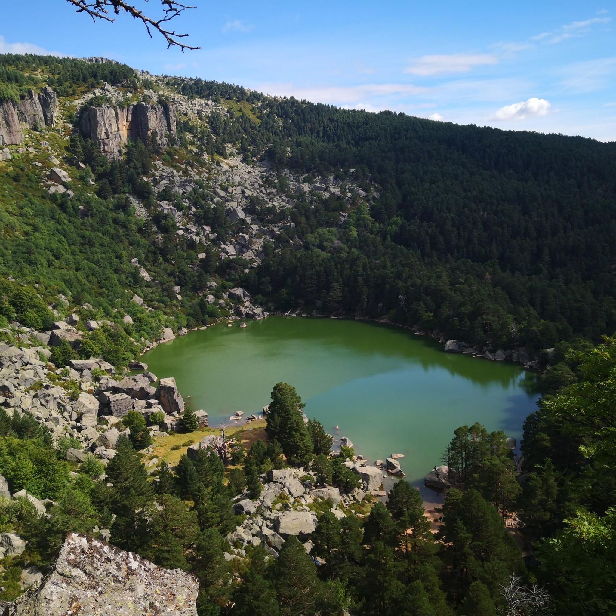
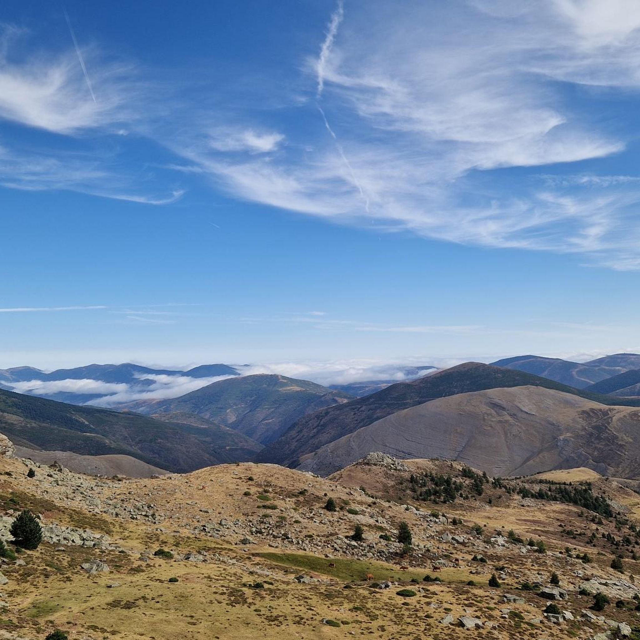
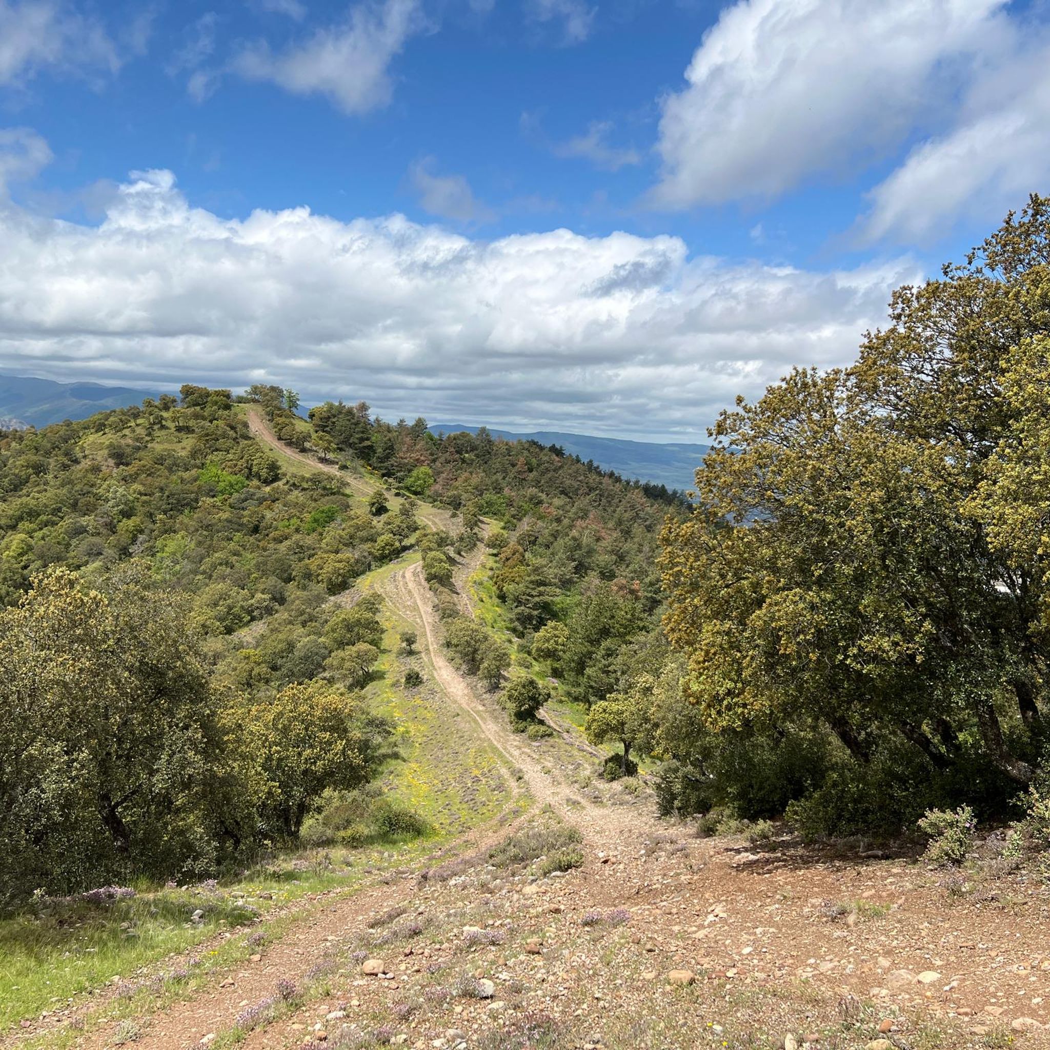
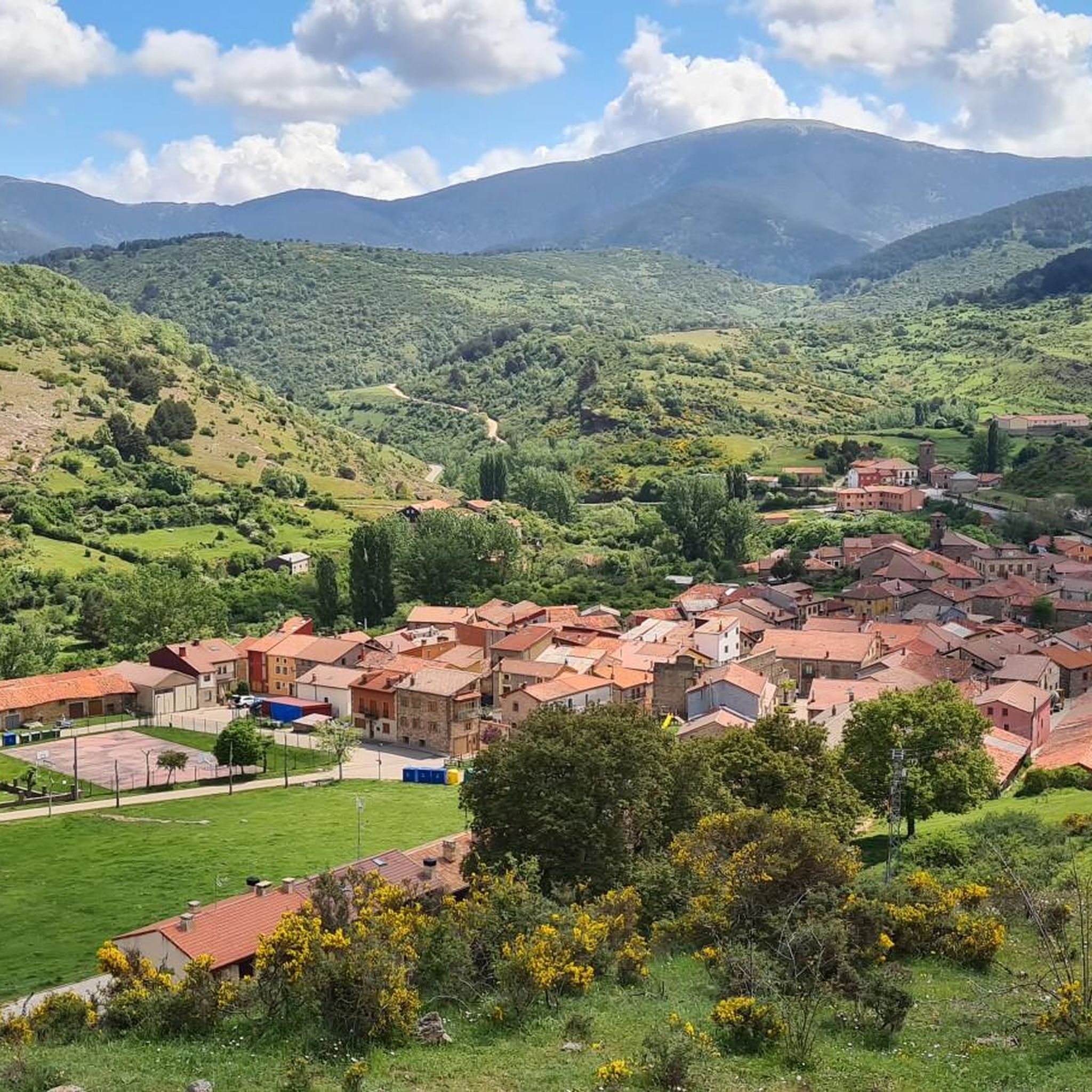
Hiking around Sierra Rioja Alta offers diverse landscapes, from the towering peaks of the Sierra de la Demanda, including Peak San Lorenzo, to lush river valleys and extensive natural forests. The region is characterized by dramatic rock formations, mountain streams, and high-elevation vineyards. Hikers can explore areas like the Sierra Cebollera Natural Park, known for its Scots pine and beech forests, and the Río Leza Canyon.
Best hiking trails around Sierra Rioja Alta
- The most popular hiking route is El…
Last updated: May 27, 2026
4.7
(3)
13
hikers
16.9km
05:38
800m
800m
Hard hike. Very good fitness required. Easily-accessible paths. Suitable for all skill levels.
5.0
(1)
7
hikers
16.7km
05:15
640m
640m
Hard hike. Very good fitness required. Mostly accessible paths. Sure-footedness required.

Sign up for free
4.0
(1)
2
hikers
12.6km
04:24
660m
660m
Moderate hike. Good fitness required. Easily-accessible paths. Suitable for all skill levels.
5.0
(1)
1
hikers
25.4km
07:07
480m
480m
Hard hike. Very good fitness required. Mostly accessible paths. Sure-footedness required.
4.5
(34)
132
hikers
13.7km
04:16
530m
530m
Moderate hike. Good fitness required. Easily-accessible paths. Suitable for all skill levels.
4.6
(9)
96
hikers
Moderate hike. Good fitness required. Easily-accessible paths. Suitable for all skill levels.
4.1
(14)
88
hikers
11.0km
03:14
320m
320m
Moderate hike. Good fitness required. Easily-accessible paths. Suitable for all skill levels.
4.6
(8)
68
hikers
4.96km
01:28
160m
160m
Easy hike. Great for any fitness level. Easily-accessible paths. Suitable for all skill levels.
4.8
(15)
71
hikers
11.8km
03:33
350m
350m
Moderate hike. Good fitness required. Easily-accessible paths. Suitable for all skill levels.
4.3
(11)
79
hikers
13.6km
04:18
540m
550m
Moderate hike. Good fitness required. Easily-accessible paths. Suitable for all skill levels.
Get access to more routes and recommendations from other explorers.
Sign up for free
Already have an account?
Our route recommendations are based on thousands of hikes, rides, and runs completed by other people on komoot.
Start today with a free account
Your next adventure awaits.
Login or Signup
Popular around Sierra Rioja Alta
Other adventures around Sierra Rioja Alta


Tips from the Community

superb place with a magnificent view, deep in a lost valley. The hebrrge monastery still has lines but also functions as a hotel, with simple but very comfortable rooms and a very healthy meal.
0
0

6 km climb from ANGIANO, not very hard but it depends on the pace, especially the last 2 km.
2
0

Very quiet place to start hiking and see the activity of the monastery
0
0

The perfect stop to replenish your energy after a bike ride (or walking, or skiing...) around Ezcaray
0
0

Ezcaray a great town for strolling / eating out and a beautiful outskirts
0
0

Nice old train station. Today a bar/restaurant, ideal for relaxing after a hike
0
0

Emblematic place of La Rioja where the patron saint of La Rioja, the Virgin of Valvanera, is located. If you go up by road, the last 5 kilometers from the fork in the LR-113 road are demanding and add to the accumulated unevenness if you arrive from Anguiano. It can be reached by paths for both mountain biking and hiking. Keep an eye on your mobile as there is not much coverage in the area.
0
0

The Valvanera valley, where the Valvanera monastery is located, is located in the most rugged and steep part of the Distercios mountains. Those wooded patches that can be seen from the religious center are predominantly beech forests combined with mixed forests of abundant ash trees, common oak groves and montane holm oak groves.
0
0
Frequently Asked Questions
How many hiking trails are available in Sierra Rioja Alta?
Sierra Rioja Alta offers a wide network of over 130 hiking routes. These trails cater to various fitness levels, from easy walks to challenging ascents, ensuring there's an option for every hiker.
Are there easy hiking trails suitable for beginners or families?
Yes, Sierra Rioja Alta has approximately 18 easy trails perfect for beginners or family outings. A good option is the Monasterio de Valvanera loop from Monasterio de Valvanera, which is just under 5 km and offers a gentle walk through scenic surroundings.
What kind of natural features can I expect to see on the trails?
The region boasts diverse natural features, including the towering Pico de Urbión, lush forests within the Sierra Cebollera Natural Park, and dramatic rock formations along the Río Leza Canyon. You can also discover mountain streams, waterfalls, and high-elevation vineyards, particularly in the Oja Valley.
Are there any trails that feature waterfalls?
Yes, the Sierra Cebollera Natural Park is known for its waterfalls. The 'Trail of the waterfalls' (6.6 km) from the Ermita de Lomos de Orios leads to the famous Puente Ra waterfalls, offering a picturesque hiking experience.
What are some challenging hikes in Sierra Rioja Alta?
For experienced hikers, the region offers several demanding routes. The El Hombre Circular Trail from Ezcaray is a difficult 16.9 km route with significant elevation gain, providing panoramic views. Another challenging option is the ascent to Peak San Lorenzo, the highest point in La Rioja.
Can I find circular hiking routes in the area?
Many trails in Sierra Rioja Alta are circular, allowing you to start and end at the same point. Examples include the Collado Ormazabal, Cabeza Parda, Collado de Beneguerra – circular route, which takes you through mountain passes and forested areas, and the San Lorenzo loop from Estación de esquí de Valdezcaray.
What do other hikers enjoy most about hiking in Sierra Rioja Alta?
The komoot community highly rates the trails in Sierra Rioja Alta, with an average score of 4.4 stars from over 400 reviews. Hikers often praise the diverse landscapes, from high mountain peaks to dense forests and river valleys, and the variety of routes available for different skill levels.
Are there any historical or cultural sites accessible via hiking trails?
Yes, several routes connect to significant historical sites. You can find trails that lead to the Suso Monastery, a UNESCO World Heritage site known for housing the first written words in Spanish. The Camino de Santiago also passes through the Ebro Valley area of La Rioja, offering a famous pilgrimage route.
What is the best time of year to go hiking in Sierra Rioja Alta?
The best time to hike generally depends on your preferred terrain and weather. Spring and autumn offer pleasant temperatures and vibrant scenery, with wildflowers in spring and rich foliage in autumn. Summer is ideal for higher altitude trails, while some lower elevation routes may be accessible in winter, though conditions can vary.
Are there any trails that offer views of reservoirs or lakes?
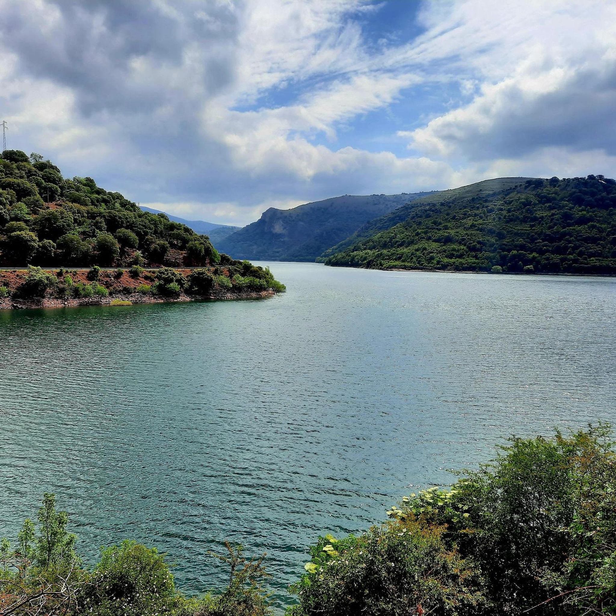
Yes, you can explore trails around the region's water bodies. The Mansilla Reservoir Loop is a longer route that provides extensive views of the reservoir and its surrounding landscapes.
Are there any trails that pass through charming villages?
Absolutely. The Three Villages Trail is a notable route that connects several local villages, allowing you to experience the cultural charm of the region while hiking. The Alto Najerilla Natural Park also features charming villages amidst tranquil mountain landscapes.
What kind of forests can I expect to hike through?
Sierra Rioja Alta is home to extensive natural forests. You'll find Scots pine, beech, and Pyrenean oak forests, particularly within the Sierra Cebollera Natural Park. There's also a recommended 15 km circular route through the beautiful beech forest of Castroviejo.
Most popular routes around Sierra Rioja Alta
Most popular attractions around Sierra Rioja Alta

Get inspired with the komoot mobile app


Didn’t find what you were looking for?
Check out more Hikes throughout Sierra Rioja Alta below and find the perfect route in your destination.
Explore more
Browse the best Hikes in other regions.
