The best mountain hikes around Lake Luzzone
13
hikers
4
hikes
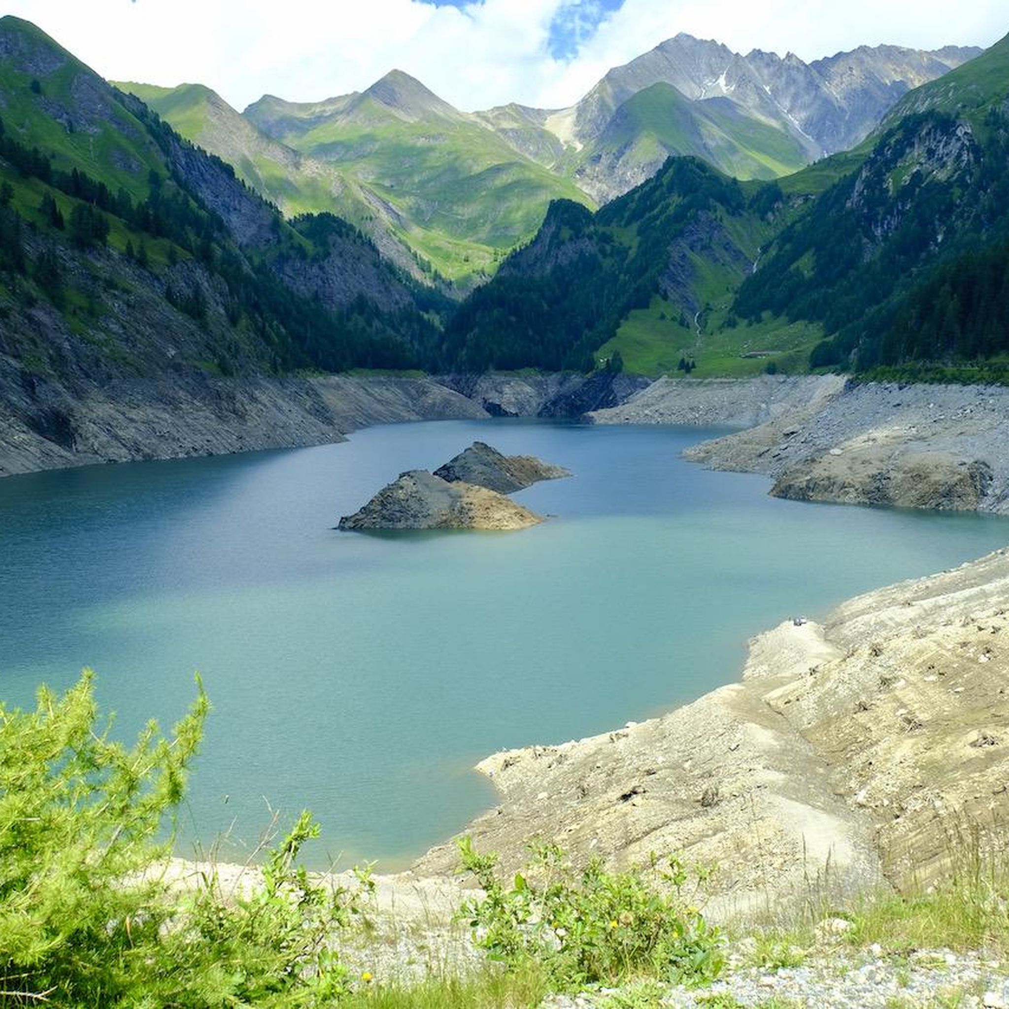
Mountaineering around Lake Luzzone offers challenging routes through a rugged alpine landscape. The region is characterized by high peaks, rocky cliffs, and glacial features, providing a demanding environment for experienced mountaineers. Elevations vary significantly, with routes often traversing steep ascents and descents. The terrain primarily consists of exposed rock, scree, and occasional snowfields, even in summer months.
Best mountaineering routes around Lake Luzzone
- The most popular mountaineering route is Climbing Route on Rocky Cliff – Carassina Dam loop from Diga del Luzzone, a 12.3 miles (19.8 km) trail that takes 9 hours 15 minutes to complete, featuring significant elevation gain and rocky sections.
- Another top favourite among local mountaineers is Camona da Terri – Capanna Motterascio loop from Camona da Terri, a difficult 10.4 miles (16.7 km) path. This route traverses high alpine terrain, connecting mountain huts and offering expansive views.
- Local mountaineers also love the View of Plaun la Greina – Terrihütte loop from Camona da Terri, a 4.9 miles (7.8 km) trail leading through high mountain passes and offering panoramic viewpoints, often completed in about 2 hours 52 minutes.
- Mountaineering around Lake Luzzone is defined by high alpine peaks, rocky cliffs, and glacial formations. The network primarily offers challenging options suitable for experienced mountaineers.
- The routes in Lake Luzzone are highly rated by the komoot community with an average score of 5.0 stars from 4 reviews. More than 50 mountaineers have used komoot to explore Lake Luzzone's varied terrain.
Last updated: July 6, 2026
5
hikers
16.7km
08:46
1,130m
1,130m
Hard mountaineering route. Very good fitness required. Sure-footedness, sturdy shoes and alpine experience required.
7.85km
02:52
200m
200m
Hard mountaineering route. Good fitness required. Sure-footedness, sturdy shoes and alpine experience required.

Sign up for free
4
hikers
8.27km
06:05
940m
920m
Hard mountaineering route. Very good fitness required. Sure-footedness, sturdy shoes and alpine experience required.
4
hikers
7.89km
06:01
960m
940m
Hard mountaineering route. Very good fitness required. Sure-footedness, sturdy shoes and alpine experience required.
Our route recommendations are based on thousands of hikes, rides, and runs completed by other people on komoot.
Start today with a free account
Your next adventure awaits.
Login or Signup
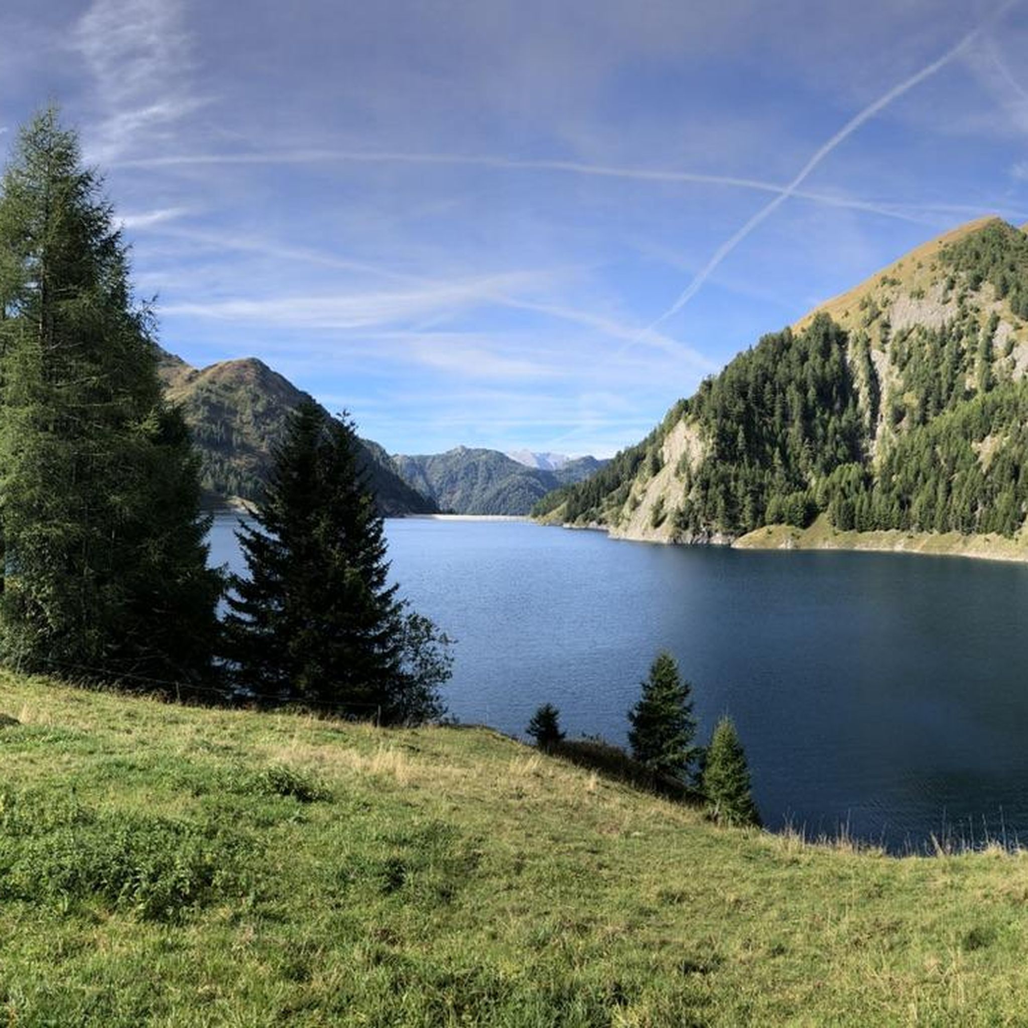
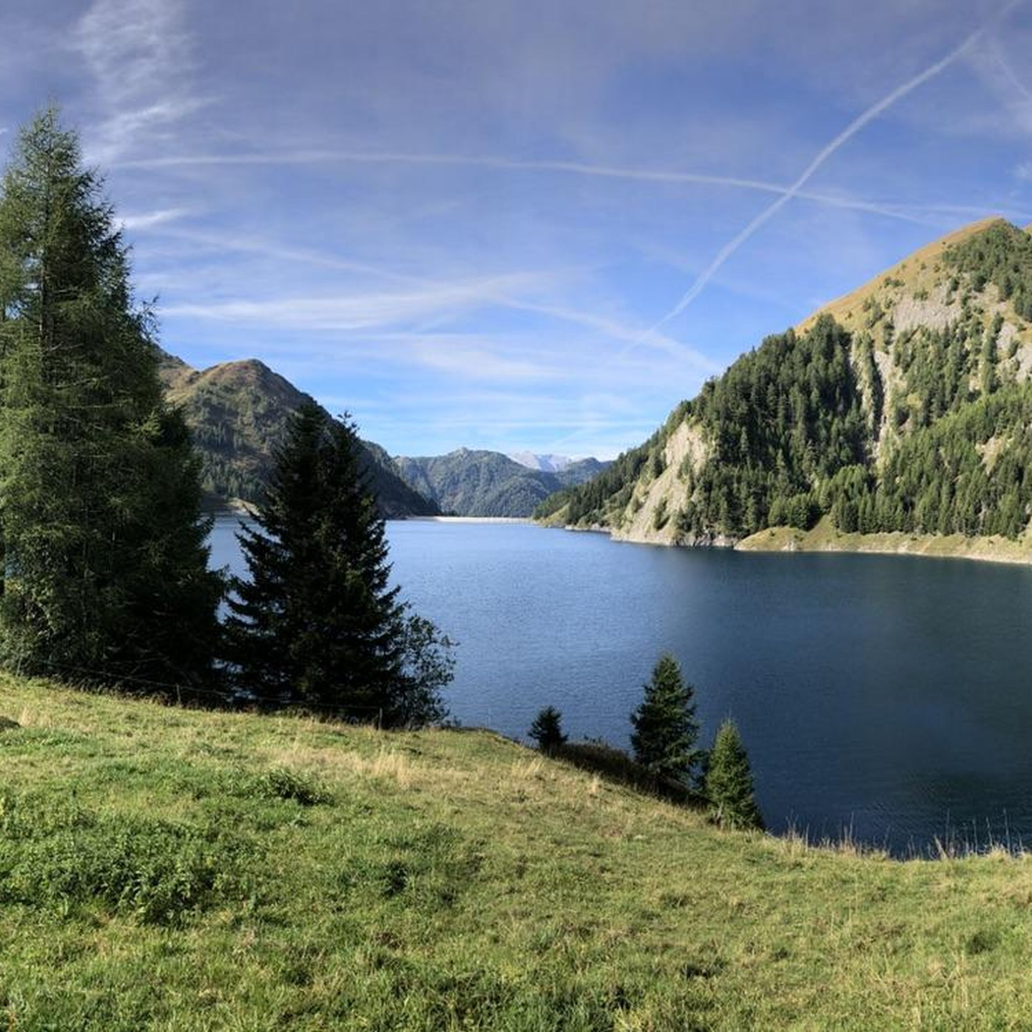
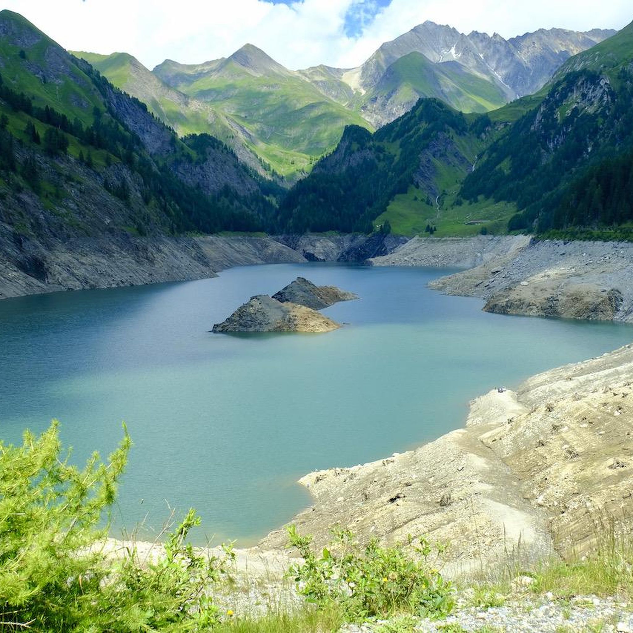
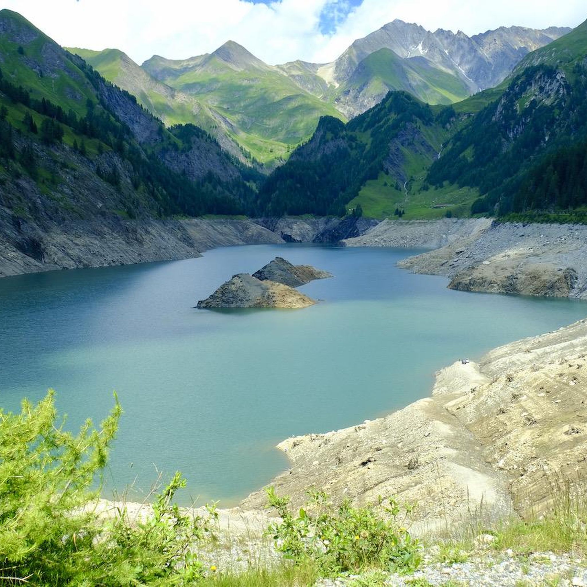
Tips from the Community


A cozy mountain hut with very friendly staff. From the dining tables, you have a view of the large reservoir and the surrounding mountains. Overnight stays are available in small dormitories.
0
1
The hut has been recently renovated and is now even more comfortable. It's beautifully situated, surrounded by mountains and on the edge of the Greina Plain. You reach the hut via a new suspension bridge. Too exciting? You can also walk along the other side of the mountain.
0
0

Capanna Adula UTOE, located at 2393 m in Val Carassina (Ticino), has been managed since 2018 by Lisa and Ciril with the support of UTOE Bellinzona. It offers a warm welcome, home cooking with local products and a strong commitment to sustainability. It is the ideal starting point for climbing Adula (3402 m), the highest peak in Ticino, and for trekking and mountaineering routes. It has dormitories, services and a large panoramic terrace. Open from 29 May to 4 October 2025, it requires advance booking for overnight stays and meals.
1
0

At night wonderful starry sky in good weather
0
0


Frequently Asked Questions
What is the general difficulty level of mountaineering routes around Lake Luzzone?
Mountaineering routes around Lake Luzzone are generally considered difficult, suitable for experienced mountaineers. The terrain features high peaks, rocky cliffs, and challenging ascents and descents, often with exposed rock and scree.
Are there any beginner-friendly mountaineering options near Lake Luzzone?
The mountaineering routes directly around Lake Luzzone are primarily challenging and rated as difficult. They are best suited for experienced individuals. For those seeking less strenuous options, it's advisable to look for hiking trails in the broader region rather than the specific mountaineering routes highlighted here.
How long do mountaineering routes around Lake Luzzone typically take to complete?
The duration of mountaineering routes around Lake Luzzone varies significantly based on the specific trail and individual pace. For example, the Climbing Route on Rocky Cliff – Carassina Dam loop from Diga del Luzzone can take over 9 hours, while the View of Plaun la Greina – Terrihütte loop from Camona da Terri is typically completed in under 3 hours, despite both being difficult.
Are there any circular mountaineering routes available near Lake Luzzone?
Yes, several mountaineering routes around Lake Luzzone are designed as loops. A popular option is the Camona da Terri – Capanna Motterascio loop from Camona da Terri, which traverses high alpine terrain. Another is the Rheinwaldhorn Glacier – View from Piz Adula loop from Grauhorn.
What are some interesting natural attractions or landmarks to see along the mountaineering routes?
While tackling the challenging mountaineering routes, you can encounter several natural highlights. The Lago di Luzzone and Luzzone Dam itself is a prominent feature. You might also come across the impressive Val Scaradra Waterfall or the dramatic Ri di Mutarasc Gorge.
What is the best time of year for mountaineering around Lake Luzzone?
The best time for mountaineering around Lake Luzzone is typically during the summer months, from late June to early September, when snowmelt is minimal and weather conditions are generally more stable. Even then, be prepared for potential snowfields at higher elevations. Always check local weather forecasts and trail conditions before heading out.
Is winter mountaineering possible around Lake Luzzone?
Winter mountaineering around Lake Luzzone is extremely challenging and recommended only for highly experienced individuals with appropriate winter gear and avalanche knowledge. The region's high peaks and glacial features present significant risks, including deep snow, ice, and avalanche danger. It's crucial to consult local alpine guides and current conditions reports if considering winter ascents.
Are there any family-friendly options for outdoor activities near Lake Luzzone?
The mountaineering routes themselves around Lake Luzzone are not considered family-friendly due to their difficult rating and rugged terrain. However, the broader region may offer easier hiking trails or other outdoor activities suitable for families. It's best to research specific family-oriented hikes or attractions in the valleys surrounding Lake Luzzone.
What do other mountaineers say about the routes around Lake Luzzone?
The mountaineering routes around Lake Luzzone are highly regarded by the komoot community, holding an average score of 5.0 stars from 4 reviews. Mountaineers often praise the challenging nature of the trails, the stunning high alpine scenery, and the sense of accomplishment from traversing such rugged landscapes.
Where can I find parking for mountaineering routes near Lake Luzzone?
Specific parking information can vary depending on the starting point of your chosen route. Many routes, such as the Climbing Route on Rocky Cliff – Carassina Dam loop from Diga del Luzzone, often start near the Diga del Luzzone (Luzzone Dam) where parking facilities may be available. For routes starting from Camona da Terri or Grauhorn, access might involve specific mountain road parking or public transport connections to trailheads. Always check the individual route details on komoot for the most accurate parking advice.
Are there any permits required for climbing or mountaineering in the Lake Luzzone area?
Generally, permits are not required for general mountaineering on established routes in the Lake Luzzone area. However, specific regulations can apply to certain protected areas or for activities like bivouacking. It's always advisable to check with local tourism offices or alpine clubs for the most current information regarding any necessary permits or restrictions before your trip.
What kind of gear should I bring for mountaineering around Lake Luzzone?
Given the difficult nature of the routes, essential gear for mountaineering around Lake Luzzone includes sturdy mountaineering boots, appropriate layered clothing for varying alpine weather, a helmet, harness, ropes, and other climbing equipment as needed for specific sections. Always carry navigation tools (map, compass, GPS), sufficient water and food, a first-aid kit, and sun protection. Be prepared for rapid weather changes and potential snowfields even in summer.
Most popular routes around Lake Luzzone
Most popular attractions around Lake Luzzone

Get inspired with the komoot mobile app


Explore more
Browse the best Mountain Hikes & Routes in other regions.
