The best walks and hikes around Lake Luzzone
4.6
(285)
2,338
hikers
11
hikes
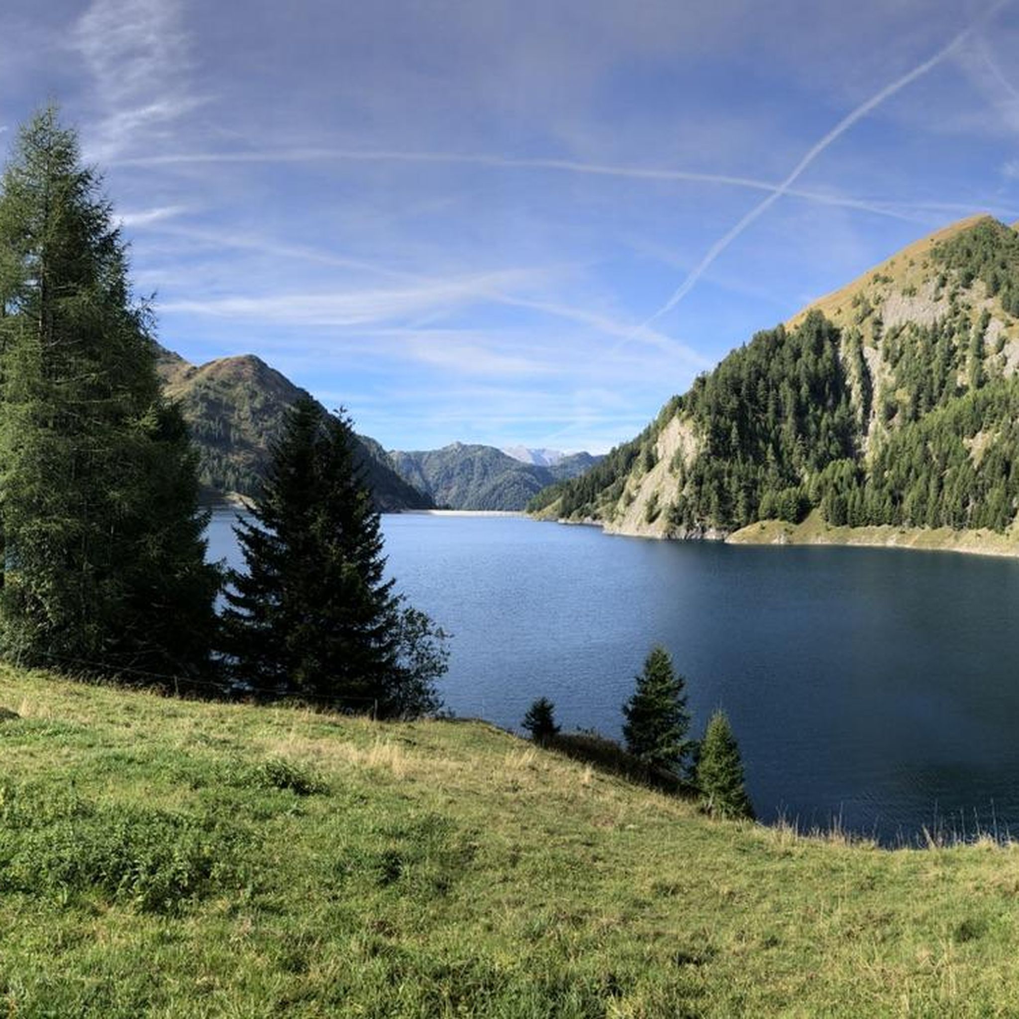
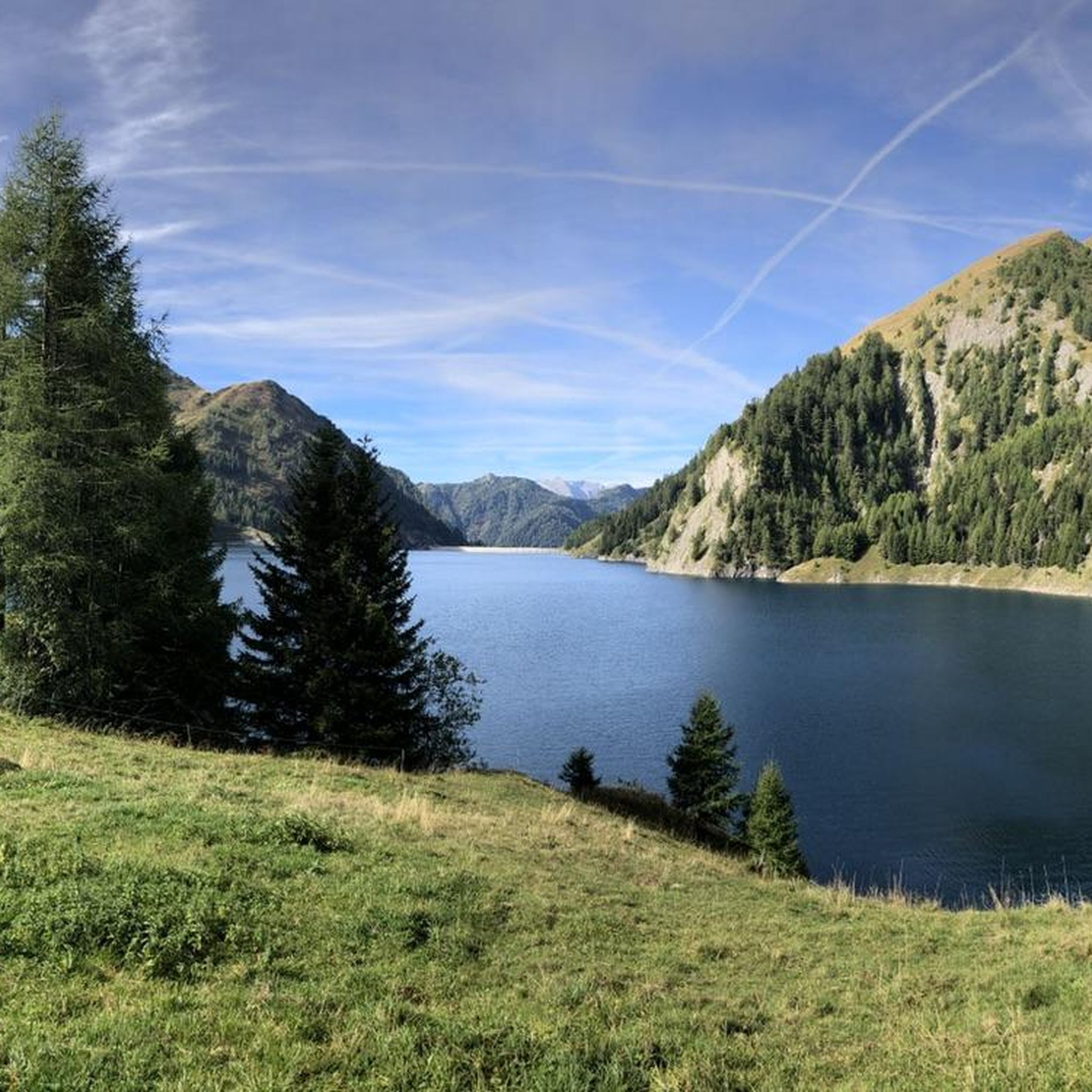
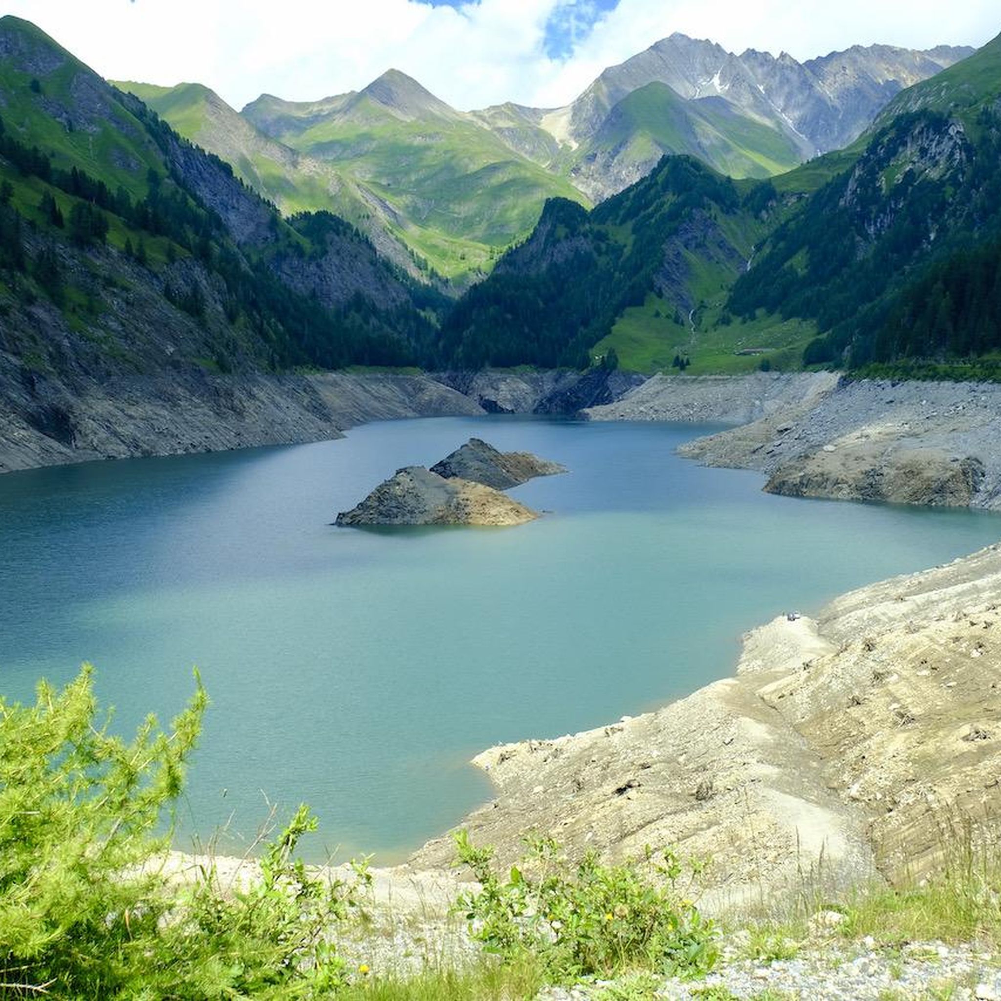
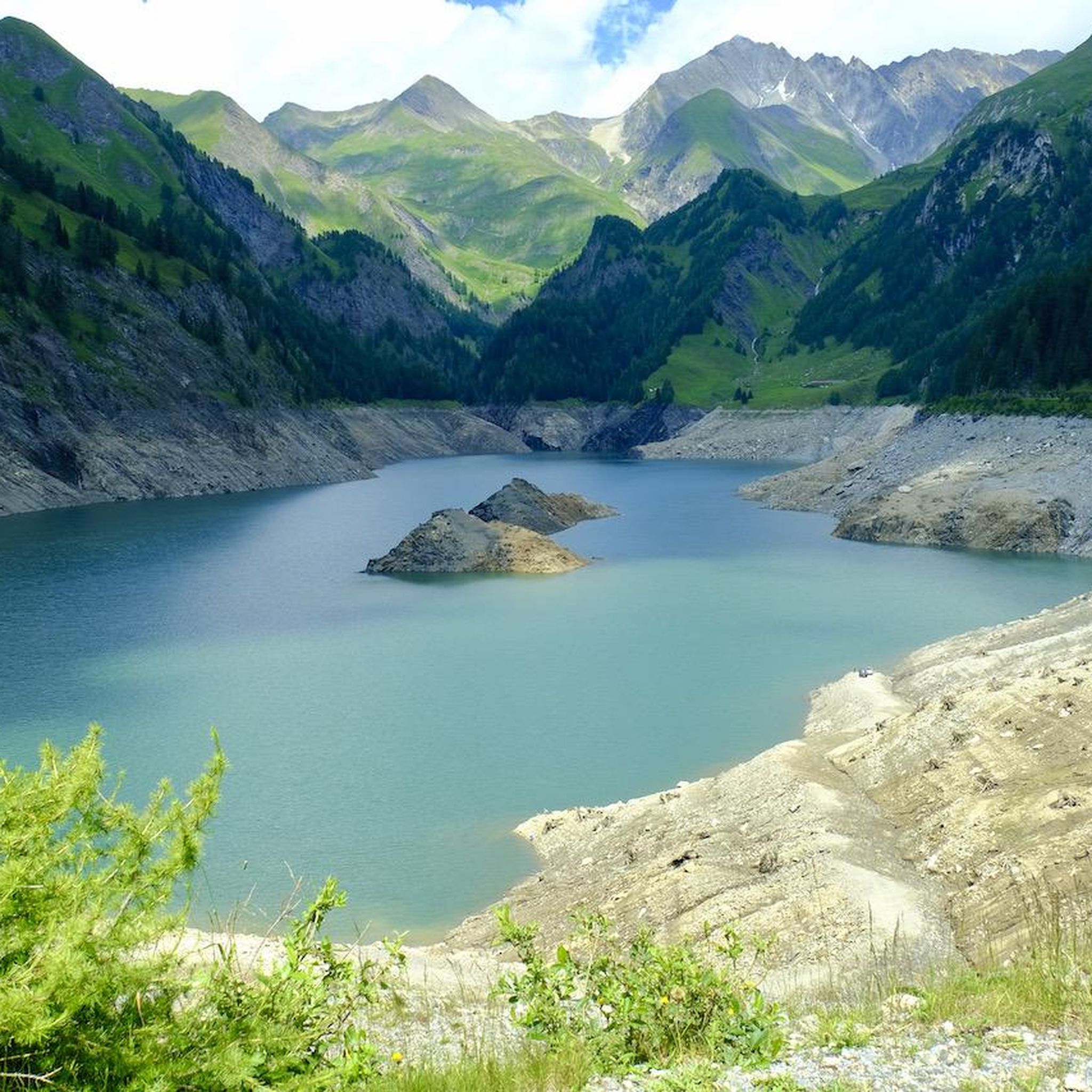
Hiking around Lake Luzzone offers routes amidst a high alpine environment in the upper Blenio Valley. The region is characterized by the artificial Lake Luzzone, situated at approximately 1,606 meters above sea level, and the impressive 225-meter-high Luzzone Dam. Surrounding peaks of the Adula Alps, many exceeding 3,000 meters, contribute to the dramatic alpine backdrop, alongside features like the Val Scaradra Waterfall and the Ri di Mutarasc Gorge. Trails often traverse alpine meadows and provide views of mountains such as Piz Terri and Plattenberg.
Best hiking trails around Lake Luzzone
- The most popular hiking route is Crio High Trail, a 10.0 miles (16.1 km) trail that takes 6 hours 45 minutes to complete, featuring significant elevation gain through alpine terrain.
- Another top favourite among local hikers is Via Alta Carassina Loop, a difficult 14.2 miles (22.9 km) path. This route offers panoramic ridge views and equipped sections, requiring good fitness and alpine experience.
- Local hikers also love the Luzzone Lake – Motterascio Hut loop from Lago di Luzzone, a 5.9 miles (9.5 km) trail leading through alpine landscapes towards a mountain hut, often completed in about 4 hours 28 minutes.
- Hiking around Lake Luzzone is defined by dramatic alpine peaks, high-altitude reservoirs, and alpine meadows. The network offers options for various ability levels, from moderate paths to challenging multi-hour ascents.
- The routes in Lake Luzzone are highly rated by the komoot community with an average score of 4.6 stars from over 200 reviews. Nearly 2,000 hikers have used komoot to explore Lake Luzzone's varied terrain.
Last updated: July 7, 2026
4.7
(17)
136
hikers
16.1km
06:45
820m
820m
Hike 10.0 miles (16.1 km) from Lago di Luzzone to Capanna Motterascio, gaining 2702 feet (824 metres) on this difficult alpine trail.
5.0
(1)
36
hikers
22.9km
08:34
1,340m
1,340m
This difficult 14.2-mile alpine hike, the Via Alta Carassina Loop, offers panoramic ridge views and equipped sections in the Carassina Valle

Sign up for free
5.0
(1)
25
hikers
11.7km
07:39
1,370m
1,370m
Hard hike. Very good fitness required. Sure-footedness, sturdy shoes and alpine experience required.
14
hikers
15.0km
06:55
790m
790m
Hike the difficult 9.3-mile Via Alta Crio Trail, gaining 2590 feet through alpine meadows and past Luzzone Lake in 6 hours and 54 minutes.
4.0
(3)
39
hikers
9.55km
04:28
640m
640m
Moderate hike. Good fitness required. Mostly accessible paths. Sure-footedness required.
Get access to more routes and recommendations from other explorers.
Sign up for free
Already have an account?
Our route recommendations are based on thousands of hikes, rides, and runs completed by other people on komoot.
Start today with a free account
Your next adventure awaits.
Login or Signup

Tips from the Community

Beautiful idyllic spot for a little break
0
0

A cozy mountain hut with very friendly staff. From the dining tables, you have a view of the large reservoir and the surrounding mountains. Overnight stays are available in small dormitories.
0
1


Capanna Adula UTOE, located at 2393 m in Val Carassina (Ticino), has been managed since 2018 by Lisa and Ciril with the support of UTOE Bellinzona. It offers a warm welcome, home cooking with local products and a strong commitment to sustainability. It is the ideal starting point for climbing Adula (3402 m), the highest peak in Ticino, and for trekking and mountaineering routes. It has dormitories, services and a large panoramic terrace. Open from 29 May to 4 October 2025, it requires advance booking for overnight stays and meals.
1
0

Ancient and mighty larch from the year 1560.
0
0
Beautiful hiking section with a view of the canyon where the river Ri di Mutarasc flows into Lago Luzzone.
0
0
Worth seeing bridge over the Ri di Mutarasc.
0
0
Magnificent waterfall with a beautiful bathing lagoon.
0
0
Frequently Asked Questions
What types of hiking trails can I find around Lake Luzzone?
The Lake Luzzone area offers a diverse range of hiking trails, from leisurely paths to challenging alpine ascents. You'll find routes traversing alpine meadows, leading to mountain huts, and offering panoramic views of the Adula Alps. There are 11 routes in total, with options for easy, moderate, and difficult skill levels.
Are there any easy or family-friendly hiking options near Lake Luzzone?
While many trails in the region are challenging, there is at least one easy route available. For families or those seeking a less strenuous walk, look for paths that stick closer to the lake or through the valley floor. The 800-meter-long Lago di Luzzone Tunnel offers a well-lit footpath and can be a unique part of a shorter exploration.
Can I find circular hiking routes around Lake Luzzone?
Yes, there are several circular routes available. A popular moderate option is the Luzzone Lake – Motterascio Hut loop from Lago di Luzzone, which is about 9.5 km long and takes around 4 hours 28 minutes. For a more challenging experience, the Via Alta Carassina Loop offers panoramic ridge views over 22.9 km.
What interesting natural attractions can I see while hiking in the area?
The region boasts impressive natural features. You can visit the dramatic Val Scaradra Waterfall at the end of the Blenio Valley, or explore the Ri di Mutarasc Gorge where the river flows into Lake Luzzone. Many trails also offer views of the surrounding alpine peaks like Piz Terri and Plattenberg.
Are there any mountain huts or places to stay overnight along the trails?
Yes, some routes lead to mountain huts that can serve as rest stops or offer overnight accommodation. For example, the Luzzone Lake – Motterascio Hut loop from Lago di Luzzone takes you towards Capanna Motterascio, providing a destination for a break or a longer stay.
What is the best time of year to go hiking around Lake Luzzone?
The best time to hike around Lake Luzzone is typically during the warmer months, from late spring to early autumn (June to September), when the alpine trails are clear of snow and the weather is most favorable. Always check local conditions before heading out, especially for higher-altitude routes.
What are the most challenging hikes in the Lake Luzzone region?
For experienced hikers, the region offers several demanding trails. The Crio High Trail is a difficult 16.1 km route with significant elevation gain. Another challenging option is the hike From Lago di Luzzone to Pizzo Cassinello, which involves a substantial 1,370 meters of elevation gain over 11.7 km.
What do other hikers say about the trails around Lake Luzzone?
The hiking trails around Lake Luzzone are highly regarded by the komoot community, with an average rating of 4.6 stars from over 230 reviews. Hikers often praise the dramatic alpine scenery, the impressive Luzzone Dam, and the variety of routes catering to different skill levels.
Is there parking available for hikers at Lake Luzzone?
Yes, parking is generally available near the Luzzone Dam, which serves as a common starting point for many trails. It's advisable to arrive early during peak season to secure a spot.
Are there any unique features or landmarks related to the Luzzone Dam itself?
The Luzzone Dam is an impressive structure, standing 225 meters high. It's also famous for featuring the world's highest artificial climbing wall on one of its faces, a challenging multi-pitch route for experienced climbers. The Lago di Luzzone and Luzzone Dam area is a highlight in itself.
What should I pack for a hike in the Lake Luzzone area?
Given the alpine environment, it's essential to pack appropriate gear. This includes sturdy hiking shoes, layers of clothing for varying weather conditions, rain gear, sufficient water and snacks, a map or GPS device, and sun protection. For more challenging routes, consider trekking poles and a first-aid kit.
Most popular routes around Lake Luzzone
Most popular attractions around Lake Luzzone

Get inspired with the komoot mobile app


Explore more
Browse the best Hikes in other regions.
