The best running trails around Lake del Narèt
1.0
(1)
186
runners
18
runs
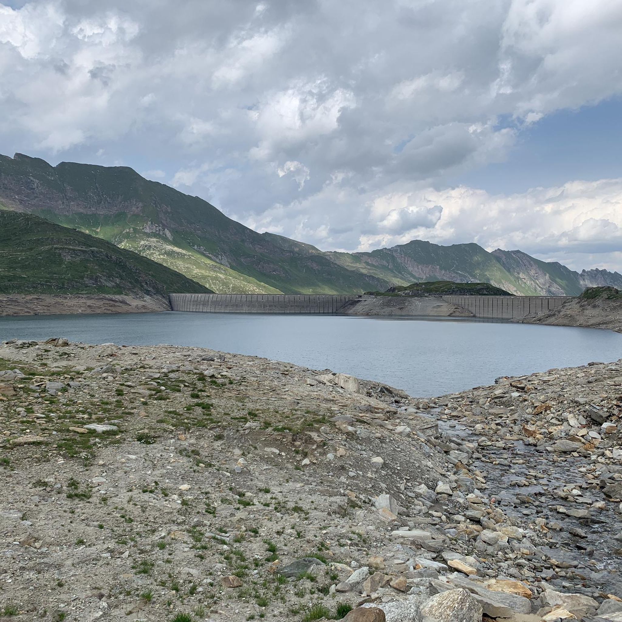
Jogging around Lake del Narèt offers a challenging experience in an alpine setting within the Ticino canton of Switzerland. The region is characterized by majestic mountain scenery, with the lake situated at an elevation of approximately 2310 to 2316 meters above sea level. Runners encounter varied terrain, including concrete and dirt paths, as well as steep sections, making it suitable for trail running. This area is part of an extensive alpine lake landscape, featuring several smaller lakes that contribute to…
Last updated: October 1, 2026
11.8km
02:29
750m
750m
Hard run. Very good fitness required. Sure-footedness, sturdy shoes and alpine experience required.
13.5km
02:06
640m
640m
This difficult 8.4-mile (13.5 km) jogging loop from Ossasco offers challenging alpine terrain and panoramic views in Val Bedretto.

5
runners
6.68km
00:48
150m
150m
Moderate run. Good fitness required. Mostly paved surfaces. Suitable for all skill levels.
12
runners
7.58km
01:05
350m
350m
Hard run. Very good fitness required. Mostly paved surfaces. Suitable for all skill levels.
8
runners
10.8km
01:57
600m
600m
This difficult 6.7-mile (10.8 km) jogging loop from Ronco in the Val Bedretto offers challenging terrain and alpine views.
Get access to more routes and recommendations from other explorers.
Already have an account?
Our route recommendations are based on thousands of hikes, rides, and runs completed by other people on komoot.
Start today with a free account
Your next adventure awaits.

Tips from the Community


Ristorante, Hotel Locanda Orelli. Kitchen closed at 2:20 p.m., very unfriendly staff.
0
0

The characteristic of Cassino is the extraordinary tree trunk (see photo).
0
0

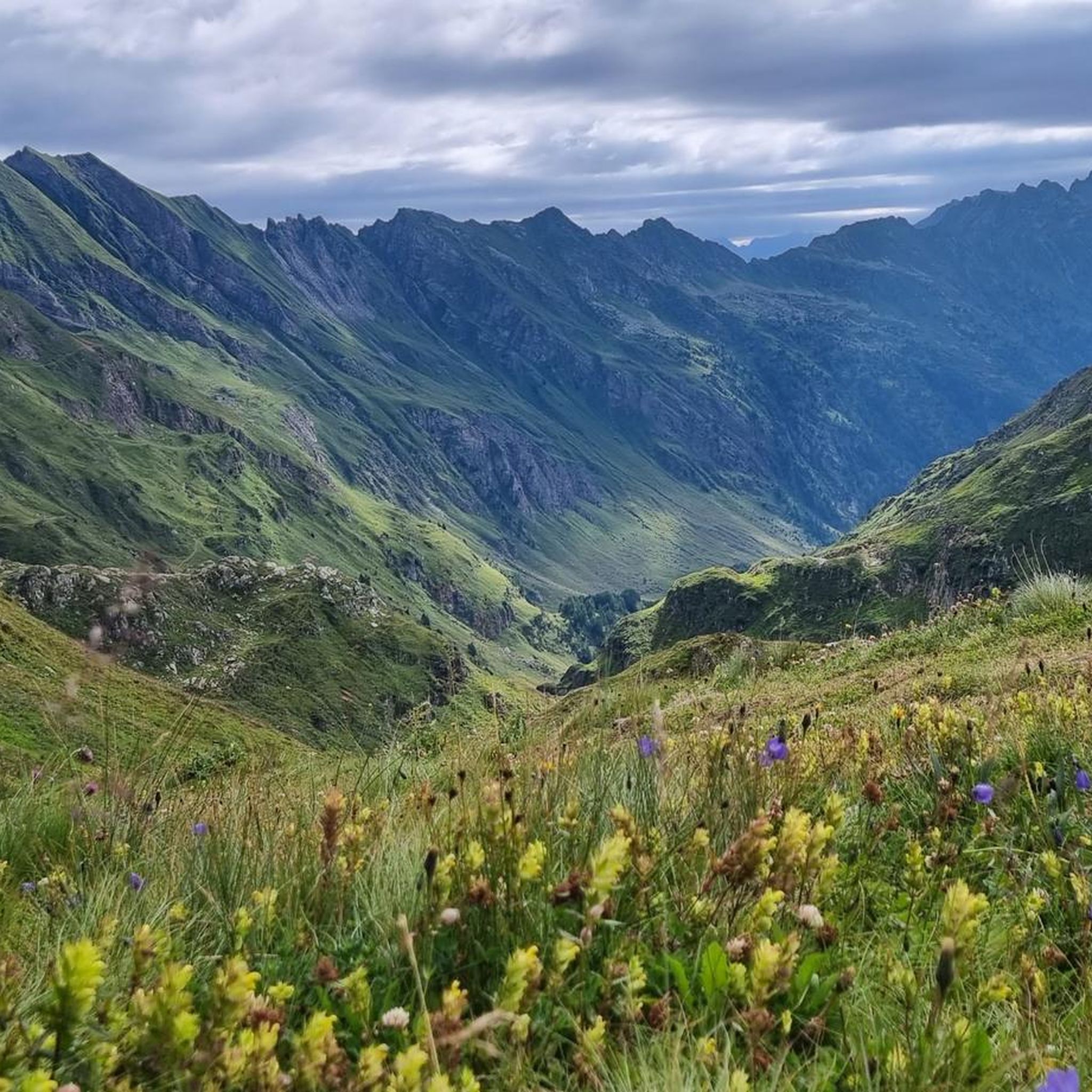
Val Canaria is a left side valley of the Leventina, in the Canton of Ticino, between the San Gottardo Pass and Airolo. It is famous for its wild and evocative landscape, which varies from glacier primroses to chestnut groves. It is crossed by a path that goes from Airolo to the border with the Canton of Grisons.
0
0
The Strada Alta is a hiking route that crosses the Canton of Ticino, along the left bank of the Leventina valley. This is the initial stretch, which leaves Airolo. The entire itinerary offers many ideas for running and ends in Pollegio.
0
0
The Capanna Cristallina is an alpine refuge located in the Canton of Ticino, in the Lepontine Alps, at almost 2,600 meters above sea level. It is open all year round and has beds, showers, refreshments and electricity. It can be reached from various locations, including Ossasco, Robiei and the Narèt dams. It is a starting point for ascents and traverses, especially for experienced runners, given the terrain and altitude conditions.
1
1
Frequently Asked Questions
What kind of terrain can I expect on the running routes around Lake del Narèt?
The running routes around Lake del Narèt offer a varied and challenging experience. You'll encounter a mix of concrete and dirt paths, as well as steep sections, making it ideal for trail running. The high-alpine environment means significant elevation changes and diverse surfaces.
Are there many running routes available in the Lake del Narèt region?
Yes, the Lake del Narèt region boasts a comprehensive network of routes. There are over 20 running routes available, catering to various skill levels from easy to difficult. This includes 1 easy route, 5 moderate routes, and 16 difficult routes, ensuring options for every runner.
What natural features and viewpoints can I discover while running near Lake del Narèt?
The region is renowned for its majestic mountain scenery and extensive alpine lake landscape. Runners can enjoy breathtaking views of 'grey giants' and several smaller lakes like Lago Superiore, Lago di Sassolo, Lago Scuro, and Lago del Corbo. The trails offer immense vastness and picturesque vistas throughout your run.
What do other runners say about the trails around Lake del Narèt?
The running routes in Lake del Narèt are highly regarded by the komoot community. Over 190 runners have used komoot to explore the varied terrain, often praising the challenging yet rewarding alpine environment and the stunning natural beauty. The routes collectively hold an average rating of 1.0 stars from community reviews.
Are there any family-friendly running options around Lake del Narèt?
While many routes in the Lake del Narèt area are challenging, there is at least one easy route available, which might be suitable for families looking for a less strenuous run. Always check the route details for distance and elevation to ensure it matches your family's fitness level.
Can I bring my dog on the running trails in the Lake del Narèt area?
The Lake del Narèt region is generally welcoming to dogs on trails, but specific regulations can vary. It's always recommended to keep your dog on a leash, especially in alpine environments where wildlife is present or near grazing animals. Check local signage for any specific restrictions.
What is the best time of year to go running around Lake del Narèt?
The best time for running around Lake del Narèt is typically during the warmer months, from late spring to early autumn, when the alpine trails are clear of snow and ice. The high elevation means that winter conditions can persist for a significant part of the year, making running more challenging or impossible on some routes.
Are there any circular running routes available near Lake del Narèt?
Yes, the region offers several circular running routes. For example, the Bedretto and Path of the Alps Loop is a difficult 8.4-mile (13.5 km) path that guides runners through the scenic Val Sambuco. Another option is the Bedretto – Bedretto Village loop from Bedretto, a moderate 4.2-mile (6.7 km) trail.
How long do the running routes typically take to complete?
The duration of running routes varies significantly based on distance and difficulty. For instance, the Run along the Val Torta between Capanna Cristallina and Lago del Naret, a difficult 7.3-mile (11.8 km) trail, typically takes about 2 hours and 29 minutes. Shorter, moderate routes like the Bedretto – Bedretto Village loop from Bedretto can be completed in about 47 minutes.
Is public transport available to reach the Lake del Narèt running areas?
The Lake del Narèt area, located at the very end of Val Sambuco, is quite remote. While public transport options might exist to nearby villages like Fusio or Airolo, direct access to the lake itself via public transport may be limited. It's advisable to research specific bus routes or consider driving to the starting points of the trails.
Are there any amenities like cafes or accommodation near the running routes?
Given the high-alpine and remote nature of Lake del Narèt, amenities such as cafes, pubs, or extensive accommodation options directly at the lake are scarce. You might find basic facilities or mountain huts (like Capanna Cristallina mentioned in one route) along some trails, or more options in nearby villages such as Fusio or Airolo in the valley.
What is a good challenging running route for experienced trail runners?
For experienced trail runners seeking a challenge, the Along the Val Canaria – loop run from Airolo is a difficult 7.5-mile (12.2 km) route with significant elevation changes. Another excellent option is the Four Sources Trail Loop, a difficult 6.7-mile (10.8 km) route that offers a rigorous workout in a stunning setting.
Most popular routes around Lake del Narèt

Get inspired with the komoot mobile app


Explore more
Browse the best Running Trails & Routes in other regions.
